The world is a book and those who do not travel read only one
page-” thus spake the Augustine of Hippo; and since I am a voracious
reader, I decided to read a few more pages this year. This reading took
me up the long, winding roads of the greater Himalayas, and I found
myself wandering in the ‘land of high passes’: Ladakh . While taking one
of the lesser explored trails into far north western part of Ladakh, we
ended up in the village of Turtuk. Nestled amidst the towering peaks of
the Karakoram, this village was once a part of Gilgit-Baltistan region.
When I reached, I found it sitting smug under the warm August sun, wrapped in the thoughts of its glorious past.
Sun dappled lanes of Turtuk. Time stands still here.
Taken over by Pakistan post -independence, Turtuk, which is hardly 10
km from the Line Of Control (LOC), became a part of India during the
Indo-Pak war of 1971 under the able leadership of Major Chewang Rinchen.
Settled in the shadow of the famous K2 peak that falls across the LOC,
this village has the river Shyok flowing beside it. Its greenery came as
a relief to our eyes that were sore after hours of gazing at the black
tarmac road, boulders, and white sand on all sides, without any
vegetation.
The
Shyok river which gives company till Turtuk, flows across the LOC and
meets the Indus. Shyok, which means “Death” in Uyghur, was named thus as
it frequently floods its sides, cutting banks causing soil erosion.
Many times the river has wiped out entire villages often forcing
villagers to move away and seek home elsewhere. The Shyok has not
quietened with time and with an increased volume during the summer, it
is impossible to cross the river. People living in villages such as
Hunder and Utmaru are forced to use boats known as bips, for crossing it
at remote places where there are no bridges.Sand
on my road…. The road to Turtuk is mostly barren with no habitation
except a few patches of green thorny shrubs, white sand and boulders in
all colours, shapes, and sizes. A Cold Desert indeed.
Turtuk, once part of the inland trade route (the silk route) for
merchants travelling through the Karakoram ranges, was likely to have
been an important trading post linked with Tibet, Afghanistan, and
Central Asia. However, little recorded history is available of those
days and what we now see has been shaped more by the 1971 war and
events thereof. With the closing down of borders in 1971 and the ancient
trade routes sealed, the economic lifeline was cut off, choking Turtuk
and the other border villages.
The
United Province of Baltistan, divided by recent borders. Interestingly,
the area of Ladakh (of which Turtuk and adjoining areas are a part) has
seen many partitions before. It started in 9th century CE when it was
separated from the Tibetan empire by Beg Manthal of the Yabgo dynasty
who conquered Khaplu. Later, in 1834 CE, the Dogra rulers from Jammu
annexed it and made it a part of Jammu and Kashmir. Then in 1947, the
Indian subcontinent underwent partition, and Baltistan was taken over by
Pakistan. Finally in 1971, the Indian army took back the control
of Turtuk and three other villages.
Baltistan once was a separate kingdom, and a Central Asian tribe
named the Yabgo dynasty, controlled the united province from Chinese
Turkistan. Among the rulers of the western Turkistan, the Yabgo surname
belonged to the leader of the Gaz tribes whose kingdom extended from
Afghanistan to Turkistan. The Yabgo reign in Baltistan started from
around 800 CE, when Beg Manthal, the 10th descendant of Prince Tung
(he started the Gaz dynasty), came from Yarkhand (a part of modern
China) and conquered Khaplu. The dynasty’s reign lasted until 1834
CE when Ladakh was annexed by the Dogra rulers of Jammu. The Yabgo
dynasty were patrons of art, poetry and literature which flourished
under their long rule over the region.
The family tree of the Yabgo dynasty prepared by the current ‘king’ Yabgo Mohammed Kacho with help from Indian Army.
The descendants of the Yabgo dynasty still live in Turtuk and the
family is considered as rulers by the villagers. The ‘king’ Yabgo
Mohammed Kacho, a rather down to earth and soft spoken gentleman,
receives all those that visit his former summer home that now serves as a
museum with warmth. Some of his family members remain on the other
side of LOC as do many family members of other villagers. Along with
this pain, the villagers harbor a regret that the Indian army did not
take over the entire Baltistan that fateful night during the war.
Turtuk reeled under two long decades of mistrust arising from a sense
of mixed emotions of losing close family members to Pakistan, and add
to it the apathy and neglect shown by the Indian government towards
these border villages. Finally in 1999, Lt Gen Arjun Ray, who was then
the Commander of 14 Corps, started ‘Operation Sadbhavna,’ which aimed at
reviving a positive civil-military relationship. Under this operation,
the army undertook many projects that ranged from building schools,
developing infrastructure, to establishing computer and other
vocational training centres, poultry farms, programs aimed at women
empowerment, providing telephone connections, free medical services and a
daily bus service. Today, for the people of Turtuk it is “upar Allah, niche Indian Army.” Turtuk
stands as a shining example of how things can work out amicably, when
both sides are willing and able to appreciate each others efforts.
The
current ‘king’ Mohammed Kacho of the Yabgo dynasty tells us of the
former glory of his ancestors. Of the fateful night when they became
Indians and how the Indian army is the best thing to have happened to
the villagers. He categorically said that while politicians are the same
corrupt players on all sides of the borders, it is the Indian army that
stood by them at all times. His former palace was almost entirely
looted and destroyed by the Pakistan army because his father had filed a
case in the Lahore court against them for illegal occupation. Almost
nothing remains of their former wealth and the only evidences seen are
in the form of dusty artefacts that are a part of the museum.
Located at an altitude of 9846 feet, the village of Turtuk is
inhabited by the Balti people of Tibetan origin. Once one crosses the
Hunder area and nears the Balti zone, everything changes drastically:
the landscape, physical features of the locals, clothing, language, and
culture which is markedly different from the rest of the people in
Ladakh. The Balti women are seen wearing colourful floral prints that
stand out in contrast amidst the stark mountains all around.
The villagers in Turtuk. The women are still not so open to being
photographed, so didn’t take their pictures. Extremely hospitable, the
villagers are always ready to talk and help.
Golden heads of barley
Turtuk being warmer, the villagers are able to cultivate two crops in
a year. Barley, wheat, buckwheat, peas, spinach, pulses, beans, and
mustard are widely grown. Among livestock that provides milk, meat and
wool are the dzos (hybrid of yak and cow), goats, dzomos and sheep.
Fruit cultivation is another widespread practice seen in all these
border villages and the little gardens abound in apricots, walnuts and
few apples that help to augment the villagers’ incomes. Interestingly,
there is a Tsarma apricot juice factory in Turtuk that sells pitted and
pressed apricot juice. Since Turtuk is a strategic military outpost,
it was closed to outsiders, even other Indians, until 2010 when the
locals weary of isolation and looking to increase their meagre incomes
petitioned for the beautiful valley to open up. As tourists slowly
started trickling in, albeit armed with permits, tourism as an industry
has started evolving bringing in the much needed cash.
We
were offered these apricots by a lady who was standing in her garden as
we walked towards the museum. She plucked them from a tree, washed them
in a flowing stream, and offered them to us. As we bit into them we
realised we were having the best apricots we have ever had. Juicy and
sweet, they were absolutely delicious, and I can guarantee that I have
never found such wonderful apricots in the markets of NCR!
Fruit laden trees and vines: apricots and grapes. The
villagers sell their fruit and crop produce in the local markets and to
the army and sometimes travel to Nubra, Hunder and Diskit to sell their
fruits.
Fields of TurtukA hand painted map for the travelers in Turtuk
Baltistan was predominantly a Buddhist region which changed when Mir
Sayyid Ali Hamadani, a poet from Iran and an Islamic scholar, arrived
there in the 13th century CE. An old mosque near the memorial of
Captain Haneef Uddin (Kargil war hero) still stands in the old part of
Turtuk. While its exact period of construction remains unknown, it was
first renovated in 1690 CE. The mosque has a blend of Buddhist designs,
swastikas, and Iranian motifs. Turtuk villagers are mostly Muslims,
unlike other parts of the Nubra valley, and 70% of them follow the
Nurbakhshi school of Sufi Islam.
The bridge that one has to cross to reach the old monastery and the mosqueThe
village blacksmith’s shop that we came across right at the beginning of
our exploration also doubles up as a place for the village men to meet
and exchange gossip.
As we walked through the narrow cobbled lanes of the village, we
marvelled at the wooden, gaily painted houses that were huddled
together, almost as if they wished to escape the winter cold. Some
houses showed old carvings on them. As we explored the village further,
following the hand-painted map, we found a wooden house that was larger
than the other houses and it turned out to be the museum and the king’s
former summer palace. At the entrance gate there was a large wooden
eagle hanging, which symbolised the ‘saviour’. As we looked at the house
(it certainly didn’t look like a palace), we suddenly noticed the old
wooden doors and the wooden carved cornices that still held flaky
remnants of colours on them, and it seemed as if these old walls were
telling us a story of a kingdom long lost.
The wooden eagle on the gate of the former summer palace’Faded colours and the head of an animal on the porch wall and entrance door.
Inside the palace courtyard, the worn out wooden pillars, thick wooden beams
delicate arches in wood, bright carpets, all speak of a bygone era
On the terrace, there is a vineyard !
Left: Photographs of the current ‘king’ Kacho Mohammad Khan, his
grandfather and father. Right: A painting of Beg Manthal, who started
the Yabgo dynasty rule in Ladakh in the 9th century CE
Various artefacts in the family museum.
The remnants of ‘king’ Kacho Mohammad Khan’s family wealth are seen in his own
private museum in the summer palace. The collection includes coins, old
metal and earthen pots, silver ink containers, shields, arrows used in
war, lapis lazuli encrusted sword, paintings, clothes, headgear,
footwear, family record books, leopard traps,stuffed heads of hunted
animals, along with a donation box for the visitors. The current ‘king,’
who is a writer and lover of books, earns his daily bread by
selling fruits and vegetables to the Indian army. He is also likely to
be the last king of his dynasty that once ruled Baltistan for more than
1000 years. His only son is more interested in doing business than
performing the role of a non-functional king of a non-existent kingdom.
Turtuk, a charming high altitude border village, with its hospitable
and friendly people, has steadfastly refused to take part in any
attempts at radicalisation, and are solely focused towards creating a
cordial atmosphere. Their patience and efforts have borne fruit, and
today tourists are coming in from all parts of the world to Turtuk and
returning with wonderful memories of love and affection received from
the villagers. With hopes of a better tomorrow, Turtuk can now sit smug
and revel in the stories of its past glory.
(This was published both on Virasat E Hind and Tripoto)
Finding Shravasti (Savatthi)
16–20 minutes
In my growing up years I had often heard recitations of the poem Bonolota Sen,
written by Jibonananda Das in 1942. In this poem the poet beautifully
describes his muse, painting her with various attributes from ancient
India. One of the most enigmatic poems that I have read, the words cut
deep into the reader’s soul as he or she time travels back into the
glorious past. Few lines from the poem run as such:
“A thousand years I have walked these paths, From the harbour at Malacca in the dark of night To the straits of Ceylon at glimmer of dawn. Much have I travelled – The grey world of Ashoka-Bimbisara, Further yet, The dark city of Vidharbha; Around me life foams its stormy breath. Weary of soul, I found a moment’s respite in her presence – She: Banalata Sen of Natore.
Her hair the ancient darkness of Vidisha, Face an intricate sculpture from Shravasti. A sailor in distant oceans, rudderless, lost, When hoves into view Island of grass through fronds of cinnamon, A green relief So she felt to me….”
From treading the magical realms of this lyrical verse, when I
finally walked into Shravasti on a bitterly cold and foggy morning, I
found no intricate sculptures resembling the beauty of Bonolota Sen
waiting for me. What was waiting was the magic of 2600 years, compressed
and hidden amidst the ruins and paths of the once thriving site known
as the Jetavana monastery.
Looking back at Shravasti:
The name Shravasti is a familiar one in Indian history from ancient times, and finds mention in Hindu, Jain, and Buddhist texts.
Shravasti was also often referred to as Champakpuri and Chandrikapuri,
though Kalidasa called it as ‘Sravasti.’ According to the Mahabharata,
the name Shravasti was derived from king Shravasta, while Buddhist
folklore says the town was named as Savatthi after Savattha, a hermit
who lived here. In Ramayana it is said that Lord Rama of the Surya
dynasty divided his kingdom of Kosala (with capital at Ayodhya) into two
parts. The elder son Kusa inherited Kushavati or Kushasthali, and Lava
got Shravasti that was situated on the banks of the river Rapti
(currently the Sehat-Mehat village site near Gonda and Baharinch). It is
believed that Lava’s descendants ruled the area for a long time;
however, during the time of Mahabharata both Kushasthali and Shravasti
seem to have gone into oblivion, though we find mention of Ayodhya under
control of king Bruhadbala I, who fought for the Kauravas. In Buddhist
literature the name Shravasti carries great significance, as Lord Buddha
spent many years of his monastic life in this city. During his life
time Shravasti was considered one among the six largest cities in India.
For the Jains, Sharvasti is also of great religious significance, as
the now ruined Sobhanath temple is considered to be the birthplace of
the third tirthankara Sambhavanath.
Third Jain tirthankara Sambhanath was born in Shravasti to king King Jitārī and Queen Susena (photo from wiki)
When we look at archaeological evidences from the Gangetic
basin, we find the presence of fine Black Red Ware or BRW that denotes
the Chalcolithic era, thus establishing the fact that it was likely
Chalcolithic people settled down in this area around the second
millennium BCE. As the settlements of the BRW people expanded through
first half of the 1st millennium, there was also a shift from copper
to iron, possibly due to discovery of iron ore resources, wherein iron
weapons, different iron implements, and iron agricultural tools came
into vogue. This iron technology helped the Gangetic basin to expand and
develop its unique cultural mosaic, and it is likely that Shravasti
settlement started at this time (early half of 1st millennium BCE).
Using these new iron tools, soon forests in the Gangetic basin were
cleared, farmers started producing surplus crops, and people getting
used to these material benefits settled down permanently, forming cities
like Shravasti that became the centre of industrial and commercial
activities.
In the later Vedic period we find that increasingly territorial
identities started gaining importance over tribal ones, and by 600 c.
BCE we find a shift from oligarchic republics to the formation of large
states or kingdoms. These large kingdoms gave the tribal chiefs or kings
greater territorial authority, and the cities turned into seats of
power. From loyalty towards the jana (the tribe), the loyalty of the
people now shifted to the janapadas (states). By subjugating other
janapadas, more powerful mahajanapadas soon came into existence.
According to Anguttara Nikaya (Buddhist text), during Buddha’s
time India had 16 such mahajanapadas. Kosala was one of them with the
capital at Shravasti (by Buddha’s time Ayodhya had been reduced to an
unimportant city), and considered among the four great monarchies of
that time that survived well after the 6th c. BCE.
Ancient kingdoms and cities of India during the time of the Buddha (wiki)
With the formation of these mahajanapadas or large kingdoms, at this
time India saw an increase in material prosperity owing to trade with
Central and West Asia and the Mediterranean region, and urbanisation
started rapidly as it moved from village to city centric lives. While
still less in numbers, by 6th century BCE, the cities with increasing
prosperity turned into hubs of art and cultural activities, and many
riverside cities such as Shravasti, Varanasi, and Kaushambi, find
mentions in various Sanskrit and Pali texts. From the strategic location
of Shravasti (on east-west route of Uttarapatha), which connected the
Gangetic basin with the Himalayas, it is likely that the city held great
economic and political importance as a trading centre when it started
developing. Shravasti at that time was well connected with other
important industrial and commercial hubs, such as, Taxila, Rajgir,
Pataliputra, Pratisthana, Kaushambi, and Varanasi.
From archaeological finds it is clear that ancient Shravasti was
guarded by mud and brick walls, ramparts of which are still seen around
the modern Shravasti town (Mahet), and the buildings were made of
bricks, mud, and wood. The site has a crescent plan facing an ancient
riverbed of the Achiravati, now known as Rapti.
The dynasty that held Shravasti:
According to the Ramayana and the Puranas, the Kosala mahajanpada was
ruled by the Aikshvaka dynasty that originated from a king named
Ikshvaku, and members of this dynasty held sway over Shravasti,
Vaishali, Maithili, and Kushinara. The Puranas give a list of the rulers
of the Aikshvaka dynasty from Ikshvaku to Prasenajita, the latter being
a contemporary of Bimbisara of the Haryanka dynasty, and Lord
Buddha. Prasenajita who was then the king of Shravasti or Savatthi,
became one of the leading upasakas of the Buddha. As per the Buddhist
scriptures, Bimbisara (who was also the brother in law of Prasenajita)
met the Buddha prior his enlightenment, and later too became one of his
leading upasakas.
Procession of Prasenajit of Kosala leaving Shravasti to meet the Buddha. Sanchi stupa. (wiki)
Burmese art showing king Bimbisara of Rajgir, who was the
brother-in-law of Prasenajit of Kosala, offering his kingdom to the
Buddha (from wiki)
Seeing Shravasti as it is now:
Currently what remains of this ancient city are parts of the wall that once guarded
The
remains of city walls of Shravasti in the Maheth site. The walking-path
seen in the front is the site of one of the four main city gates of
ancient Shravasti, and is the closest to Jetavana monastery. It must
have been the same road used by the monks living in Jetavana monastery
during Buddha’s times, as they went around for alms (bhiksha) in ancient
Shravasti (photo from wiki)
Shravasti in the Maheth village site, and the Jetavana monastery
ruins at Saheth. Besides the remains of religious complexes that
contained Buddhist monastic cells with central court, excavations at
Shravasti have found many murtis, inscription plaques, terracotta
sealing in Brahmi script, copper coins of the Ayodhya series, glass and
etched agate beads, blue and green glass bangles, and copper ornaments,
which are now placed in the Lucknow and Mathura museums. Ramayana
plaques were unearthed from the site of Kachhi kuti in the Saheth site
of Jetavana, which likely came from a Hindu temple. It is believed that
King Ashoka visited Shravasti, and had built two pillars on the eastern
gate of Jetavana. Both Fa-hien and Hiuen Tsang in their travel accounts
mention Ashokan pillars with ox-capital that they saw at the Jetavana
monastery in Shravasti. When Hiuen Tsang visited Shravasti in the 6th c.
CE, he found the ancient city mostly in ruins, but he recorded the
monuments that he saw here.
Remains of the stupa of the merchant prince name Sudatta of
Shravasti, who acquired the site of jeta-vana for Buddha, from prince
Jeta (son of king Prasenjita of Kosala) at a huge price that equalled
the total amount of gold pieces which would cover the entire surface of
the plot (the total price amounted to 18 crores). Sudatta was titled as
Anathapindika, which meant “giver of alms to the destitute.” This stupa
is now better known as kacchi kuti, because later a sadhu had made a
temporary shrine made of kaccha bricks on top of the mound. This stupa
represents structural remains dating from 2nd century CE to 12th c. CE,
ranging from Kushana period to Gupta era structures and further later
period renovations.
Donation by Anathapindika, as shown on Bharhut stupa. Here we
can see a cartload of coins being taken down, while the square pieces on
the ground denote the gold pieces covering the site. The Brahmi text
reads “jetavana ananthapindiko deti kotisanthatena keta.” (wiki).
Buddha first came to Shravasti on an invite from Anathapindika.
Remains of monastic complexes at the site of Jetavana monastery.
It was also in Shravasti that Buddha attracted many women disciples,
which led to his forming an Order of the Nuns, much against his wishes,
and he had predicted that with this reform the Buddhist order will not
last for long. The first disciple to join the Order of the Nuns by
forcing Buddha’s consent was his own step-mother Mahaprajapati. One of
his most well known women disciple was Visakha, the daughter of a
business tycoon of those times from Saketa. She built Buddha another
monastery at Shravasti and named it Purvarama, by selling her
expensive head dress. Of the total 25 monsoon seasons that Buddha spent
teaching in Shravasti, 19 were in Jetavana and 6 in Purvarama.
Stupa of Visakha, where her ashes were interred in Shravasti (wiki)
Stupa 1 in Sanchi depicts the three preferred homes of the Buddha within the Jetavana monastery in Shravasti (Wiki)
Remains of the brick made plinths, foundations, and walls of the
different monastic cells in Jetavana. The ancient site of Shravasti was
completely forgotten, until excavations were started under Alexander
Cunningham in 1863, who followed the details given by Fa-Hien and Hiuen
Tsang and found that Saheth was the site of Jetavana monastery and
Maheth was Savatthi during the ancient times. Most of the
excavated remains in Jetavana show the typical elevation and plan of
early Buddhist architecture, and belong to the Kushana period, with a
number of reconstructions and renovations done during the Gupta period,
and some more from the later periods dating upto 11th- 12th century CE.
The Anandabodhi tree in Jetavana planted by Anathapindika,
considered as the second most sacred tree among the Buddhists. A cell
right behind the tree is supposed to have belonged to a goldsmith’s
workshop, as derived from remains of a lump of pure gold in a clay
crucible in the room and ash heaps around the building.
Gandhakuti, the hut where Buddha spent 19 monsoon seasons. Lord
Buddha spent most his monastic life in Shravasti, preaching 871 suttas
from the four nikayas, of which 844 were preached from this very spot in
Jetavana. According to a description given by Fa-huen, the Gandhakuti
when originally built had seven sections, that held different kinds of
offerings, decorated banners, marquees, and the place was lit with lamps
that burned all the time. A rat supposedly set the entire vihara on
fire destroying it completely, and when it was rebuilt it had only two
sections.
Thin gold foil offerings to Buddha is seen on Gandhakuti and
other monastic cell wall remains in Jetavana. This practice of offering
gold foils is a common practice among south east Asian Buddhist
devotees, especially among those visiting from Myanmar.
The stupa of the notorious robber known as Ahimsaka or
Angulimala, who killed those travelling through the forests in Kosala,
and often killed people by dragging them out of their homes in nearby
villages. To keep count of his victims he strung their fingers around
his neck like a garland, which gave him the name Angulimala. While
looking for his thousandth victim Buddha intercepted him and made him
his disciple. Despite becoming a monk, Angulimala while out begging for
alms often faced the wrath of the people whose loved ones he had once
killed; but Buddha told him to endure the wrath of the people as penance
for his former misdeeds or Karma.
Angulimala chasing Buddha in their first meeting. Painting in the Sri Lanka Buddhist temple at Shravasti.
Shravasti is also an important religious place for the Jains. The
Jain temple seen here is situated a little away from the Jetavana
monastery, and is supposedly the birth place of the third Tirthankara
Sambhavnath, whose symbol is a horse. Born toKing Jitārī and Queen
Susena, he ascended the throne at an early age of 20, and ruled ably
for thirty four years, ushering in many changes during his reign.
However, one day after seeing a vanishing dark cloud, he realised the
transient nature of life, renounced his throne, and chose a monastic
life. The remains of the structure show a basic rectangular plan with
different strata, and many later additions, extensions, and
superimposition. The domed roof structure built of lakhori bricks is a
much later late medieval Islamic imposition. The interior face of the
structure had several niches that housed several Jain deities and many
such deities have been recovered from this site.
Remains of small room like structures within the Jain temple.
Just outside the temple are two more mounds of ruins, likely to hold
remains of ancient monastic structures.
The Twin Miracle
The Twin Miracle performed by Buddha atShravasti,
seven years after gaining enlightenment, is considered as his best
miracle. The miracle was in response to a challenge thrown to Buddha by
the heretics, wherein he had predicted that he would perform a miracle
while seated under a mango tree (as stated in most of the Pali texts,
such as Dhammapadathakatha and Jataka tales). Hearing
this the heretics destroyed all mango trees in the area; however their
plans were thwarted when Buddha planted a mango seed that immediately
grew into a full grown tree with fruits, thus allowing Buddha to
perform his miracle, known as the Yamaka-pātihāriya or the Twin
Miracle. This miraculous phenomena paired two opposite natural
elements, such as, flames that came out from the upper body, while
water streamed down from his lower body, and the two were alternating.
At the same time, water and fire also emitted alternatively from the
left and right sides of his body.
The twin miracle by Buddha at Shravasti (photo from wiki by Ddalbiez)
Another important text Divyavadana written in Sanskrit talks
of another Great Miracle performed in Shravasti, which was a miracle of
multiplication, where Buddha created multiple images of his self in
front, behind, and the two sides, thus forming a group of many Buddhas
that reached up to the Heaven.
The miracle of many Buddhas in Shravasti (photo from Wiki)
Downfall of the mighty
Shravasti, the once powerful city, which was the centre of economic,
socio-cultural, and political activities, saw a sudden decline from
3rd-4th c. CE. The decline started a little earlier than the other
important north Indian cities of that time, from the later part of the
Kushana period, when for some reason (could be economic, political, or
cultural) people suddenly started moving out of this urban centre. The
decline can be attributed to economic stagnation, owing to the Hun
invasion and the diminishing Indo-Roman trade in the later half of the
Gupta period. Thus, an economic decline led to the complete
disintegration of political unity, and breakdown of the socio-cultural
fabric that had been held together for many centuries, through
interactions and integrations between the varying socio-cultural
entities existing in North India during that time. This is evident from
Fa-huen’s 5th century reports that talked about the ruinous
conditions of once thriving cities, such as, Shravasti, Kapilavastu, and
Kushinara, situated in the Himalayan foothills.
(This post was published on Virasat E Hind )
Himalayan temples in Naggar, Himachal Pradesh
15–19 minutes
Growing up in Darjeeling and Kolkata, and being a
regular visitor to the neighbouring state of Sikkim, as a child I
invariably associated the Himalayas with gaily painted Buddhist
monasteries or gompas, fluttering colourful flags that kept away evil
spirits, and maroon robed monks. It was much later when I travelled to
Uttarakhand and Himachal Pradesh that I realised these age-old mountains
held many secrets amidst its high peaks. Some in the form of beautiful
old temples carved in stone and wood.
My tryst with Himalayan temples started with a visit to Kedarnath,
Badrinath, and Gangotri, during my school days. Despite the milling
crowd, these places still
Kedarnath temple (approximately 8th c. CE), Uttarakhand
retain a charm of their own, and a darshan of the evening aarti at
the Kedarnath temple is a magical experience. Makes you realise why “the land north of Ganga-dwar is known to the wise as Paradise Ground” (Kedarkhand Skanda Purana).
There is a belief among the mountain dwellers that in the Himalayas
there are as many deities as there are hamlets. Nothing could be truer
than this especially in Himachal Pradesh where every hamlet has its own
local deota and possibly a kul deota of the head priest. They are
worshipped in kathkuni styled pretty shrines built with wood and stone.
Besides the temples for the local deota that are often reconstructed or
relatively new, there are also many early medieval (post classical era)
stone temples with exquisite sculptural works on them. Most of these
temples are functional, well maintained, and often under the purview of
the ASI. Yet, they remain unknown to most tourists that travel to
Himachal Pradesh. While speaking to the locals I realised that this
anonymity is a conscious decision for keeping the temples away from
unwanted attention. The locals prefer to preserve them the way they have
always been, standing in isolation.
.
Shikhara of an almost 1400 year old temple within the Chaurasi temple complex in Bharmour, Himachal Pradesh.
Interestingly, besides the stone and wood temples, often trekkers
come across small piles of stones at a particularly precarious bend or
at a cross-point, with a flag or cloth tied onto them. These are holy
shrines dedicated to the hillside spirits or deotas gathered up as an
appeasement to avoid accidents. A custom that is as ancient as human
civilisation and continues unabated through time.
The Kullu Manali circuit
The Kullu Manali circuit, a tourist hub famous for its scenic
landscape, is also renowned for its temples and often referred to as the
Valley of Gods. The ancient name of Kullu was Kulut or Kulantapitha, and finds mention in finds mention in the Mahabharata and the Puranas as a republic or janapada of the north India. The term Kulut is historically important as it denotes a place that was beyond the then dominant socio-political norms or kula- vyavastha.
Around 6th c. CE, after defeating the imperial Guptas, Khashas became
the dominant ruling class in this area (as recorded on the Salanu
inscription from the Tirthan valley), and they established a Gana-rajya,
a form of theocracy (Malana remains an extant example). Few centuries
later the Palas from Bengal dispelled the Khashas and established their
kingdom, forcing the Khashas to migrate to distant places.
Interestingly, the Khashas, later came back as Rajputs, and are still
considered powerful in the outer and inner Seraj region of the Kullu
valley.
A somewhat definitive history of the Kullu valley can be derived from the genealogical records of the Rajas of Kullu known as Vanshavali.
From this record it is believed that Bihangamani Pal, a scion from the
Pala royal dynasty of Bengal after being displaced from power in his
native state (sometime around 8th century CE), came to establish his
kingdom at Jagat Sukh, with the blessings of the Hadimba devi. Thus,
started the Pala dynasty in Himachal Pradesh that ruled Kullu until 1450
CE. From Jagat Sukh, Raja Visudh Pal shifted his capital to Naggar, and
later the capital was again moved to Sultanpur (Kullu) in 1660 under
Raja Jagat Singh.
Inside the Naggar castle, the palace from where the Pala kings ruled from Kullu
The entire valley, covering Kullu to Manali that includes Mandi, is
dotted with temples built predominantly in the Nagara style of temple
architecture. The Nagara style, shows the following basic
characteristics: a cruciform base plan, a curvilinear/convex shikhara, a garbagriha and a mandap
The ground plan is square with gradual projections from the centre
of each side giving it a cruciform shape. With a single projection from
two sides, the temple would be a Triratha; two projections from two sides would make it a Pancharatha; three projections from two sides would be Saptharatha;and four projections from two sides of the temple would make it a Navaratha. These projections often continue throughout the entire temple height and end at the skandha (shoulder course).
photo from wiki
The temples have a tall spire known as Shikhara that gradually
curves inwards, ending at the skandha, above which is the griva
(circular necking). On this is placed a ribbed circular stone slab
known as Amalaka, often carrying a Kalasha on top
The dieties are housed in an inner chamber called the Garbhagriha (sanctum)
A covered entrance hall or porch leads to Garbhagriha called Mandap
From the book – Temples of India by Tarun Chopra
In Himachal Pradesh, owing to easy availability of wood from forests,
another common form seen is the timber bonded style with a pent roof
and a veranda. The other styles seen are:
The pagoda style (Hadimba temple in Manali)
The domed temples (Jwalamukhi temple in Kangra)
The flat roofed ones (Narbadeshwar temple at Hamirpur)
Satlej valley style (Bhimakali temple in Sarahan)
Bhimakali temple in Sarahan (Photo from wiki)
My article will focus on some of the temples in and around Naggar, which was once the capital of the Kullu kingdom.
Tripura Sundari temple
This is a huge pagoda style three-storeyed wooden temple, similar to
the Hadimba Devi temple in Manali. According to folklore, the temple was
in the shape of a spider web woven by the Devi herself after turning
into a spider. The original temple was built during the reign of Raja
Yashodha Pal, while the current prettily carved wooden structure is
largely a reconstructed one.
While inside the temple complex, I noticed many stone murtis ,
evidently older than the wooden structure that we see now. Some were
kept free standing, while some were embedded into the newly constructed
walls. Being a functional temple all murtis are under worship, evident
from the flowers and leaves in front and the red tilak on their
foreheads. The murtis include Anantashayana Vishnu, Ganesha,
Shiva-Parvati, and Mahisasurmardini. Sharhi yatra, an annual fair is
held here in the month of May to honour the Goddess.
Wooden carvings on the temple wall showing a devotee or a donor (top) and a mithuna couple and floral patterns (bottom)
Peacocks, Dwarpalas, kalasha, and Ganesha, and other motifs on wood
Stone murtis once part of the original temple (?) Lakshmi,
Anantashayana Vishnu, and Ganesha (looks to be part of a broken panel,
now cemented to the wall) kept together under a newly constructed shed
A rather mossy looking wooden simha pranala: there are four such pranalas placed at four corners of the pagoda styled shikhara
Footprints carved on stone, placed near the entry door to the temple
Mahisasurmardini murti kept near the temple doorway
Tripurasundari devi inside the garbhagriha
Gauri Shankar temple
This beautiful 11th-12th c. CE temple stone stands right beside a
village, yet holds a serene atmosphere. It was raining when I had
reached the temple and there was not a soul in sight. As I stood in
front of the centuries old stone structure, then wet and glistening in
the rain, the feeling was ethereal and of supreme tranquillity.
The Gauri Shankara temple is a perfect example of Nagara style,
following the east Indian temple architecture that was popularised in
the Kullu valley by the Palas and later the Senas from Bengal. It is
considered the last temple to follow this particular architectural
pattern in this area. It is tri-ratha in plan, has a square garbhagriha,
with a vedibandha (the socle) showing kumbha and ardharatna motifs that
include the mouldings of kalasa and kapotali . The jangha (temple wall)
show bhadra niches on the three cardinal directions east, north, and
south. The walls have square and rectangular recesses that depict
dancers, musicians, warriors, deities, birds, purnakumbhas, and
purnaratnas. The shikhara is curvilinear, with an amalaka at top, is
decorated with chaitya motifs (chandrasalas), and the corners have bhumi
amalakas marking the storeys. The mandapa is pillared with square bases
and ghatapallava as capitals, while the sanctum entrance holds a
Ganesha on the lalatabimba.
A beautiful stone nandi greets you as walk towards the temple
doorway. Notice the little figure that is pulling its tail ( a
closer look will reveal it’s a little lady who is pulling Nandi by his
tail) . The figure holding the tail according to a line of thought
depicts the story of crossing the river Vaitarani (the river of Death)
holding onto a cow’s tail as mentioned in the Puranas.
The river devis, Ganga and Yamuna holding kalashas, along with
dwarapalas, on two sides of door leading to the garbhagriha. They wash
away your sins before you enter the sanctum, hence is akin to a dip in
the sacred river waters, a teerth by itself.
Left: A very happy looking Gauri Shankara light up the
garbhagriha. Right: five receding panels on the door jamb (dwar shakhas)
show dancers, musicians, and geometrical and floral patterns
Carvings on the temple walls showing floral patterns, birds, purnakalasha, and figures of deities
Panels
on the jangha showing a bird, a rishi (or devotee?) sitting with folded
hands, purnakalasha, and a musician playing a dhol like
instrument. Adjacent to it is the shikhara of a nicheJangha
with the fluted pillared niche, and below it the Vedibandha with its
ardharatna motifs and a pranala to let out the water from garbhagriha
A donor couple (or devotees) and a mithuna (an amorous) couple sculpted on the wall.
Trimukha Shiva from part of a broken panel is kept in one of the
niches. The pillars here are of the fluted type. A panel commonly seen
on the Shikhara of the Himalayan temples. After all, Himalayas are
Shiva’s abode
Another broken panel of Shiva kept in a niche
Dashal temple
This 11th c. CE temple sits amidst an enchanting setting, surrounded
by thick forests and orchards. I came across it while walking aimlessly
through the Dashal village lanes. The pretty roads take you around the
farms, orchards, and you meet a gushing stream with a panichakki. After
crossing the little wooden panichakki, you take a turn and suddenly
this temple is upon you. The rains had just stopped when I reached, and
the clouds were slowly dispelling, when the sudden appearance of a
temple from amidst the rising cloud cover made the entire setting seem
almost unreal.
This pancharatha Shiva temple with a pillared mandapa is richly
carved and figures of Vishnu, Brahma, and flying gandharvas are seen on
the capitals. The door frame of the garbhagriha is richly carved with
floral patterns and figures of dancers and musicians. Ganga and Yamuna
with dwarapalas flank the doorway, while Ganesha sits on the
lalatabimba. Above the lintel is a panel depicting the navagrahas.
At
the top we can see the three faced form of Shiva. Below, at the mandapa
entrance can see figures of Vishnu on Garuda (left pillar head of the
temple) and Brahma (right pillar head) on the pillar capitalsGanesha on lalatabimba and navagrahas on a panel above him
Ganga and Yamuna with dwarapalas on pilasters flanking the doorway to the garbhagriha
the two figures one two sides of the wall as one enters the mandapa
a worn out murti of Vishnu and Lakshmi on Garuda is kept on the left side of the mandapaInside the garbhagriha
Other stone figures inside the garbhagriha include Mahisasurmardini, anantasayana Vishnu, Shiva.
purnakalasha, floral patterns and mithuna couples on the temple wall panel
Left: A pillared niche on the temple wall: Right: Two bharavahaks doing their eternal duty of carrying heavy loads
Two beautiful Nandis, age-old and weather beaten, yet standing guard
Erotica carved on temple walls have a deep underlying
philosophy. During Vedic times, Purusharaths (human life goals) were
propounded and one among them was Kama or physical pleasure.
Mithuna couple sculptures on the walls of temples panders to ancient
Hindu philosophy wherein yoga (spiritual exercise) and bhoga (physical
pleasure) are the two paths that lead to moksha (final liberation),
explains Tarun Chopra in his book ‘Temples of India’. Deep in the throes
of passion they represent the transition from the physical to the
spiritual plane of consciousness analogous to the walk from the mandap
to the garbhagriha. One enters the sanctum leaving behind all worldly
thoughts including the erotic represented by mithuna sculptures on the
walls of the temple
Naggar and its adjoining areas areas are dotted with temples
of various styles and times of construction. Among these, some temples
and a unique custom that caught my eye are:
A beautiful 11th century Vishnu temple hidden amidst the surrounding
houses, remains well maintained. I am especially fond of the mandapas
of the Himachali temples with their little pillared entrances. Half way
up on the plain shikhara, clearly visible are the three faces of Shiva,
looking benevolently down at us. Inside is a murti of Vishnu made of
ashtadhatu
Some sculptures that I saw lying outside. These are all
worshipped, and the temple is a functional one with a murti of Vishnu
in ashtadhatu inside the garbhagriha.
2. An old Chandi temple showing the the timber
bonded style with a pent roof and a veranda. The small, solitary wooden
structure in the second photograph, I was told, is a place where the
neighbouring deities reside, when they come visiting.
3. A roadside “ancient” village temple dedicated to a
devi. What interested me here were the offerings made to the goddess.
The masks were eye catching too.
Noticed
horns of animals as offering. My guide insisted this devi temple was an
ancient one too, but now completely renovated and built over in a new
style!
4. An interesting custom prevalent in the region is
the worship of the local deotas that is distinct for every hamlet. While
I missed the devta on his palanquin in this celebration in a village
named Banjar, we met a couple of apdevtas roaming around in their broom
stick gowns. We were duly blessed by them with dried floral twigs that
was to be put behind our ears and kept for the day. A novelty to be
blessed by the apdevta instead of devta!
The apdevtas in their broomstick gownsThis is how you wear your blessings from the apdevta!The smiling face behind the mask of an apdevta.
“I shall be telling this with a sigh
Somewhere ages and ages hence:
Two roads diverged in a wood, and I—
I took the one less travelled by,
And that has made all the difference.”
As I keep taking the roads less travelled in order to explore the
interiors of Himachal Pradesh, lately I find myself agreeing more and
more with the locals when they tell me that these temples and certain
remote high altitude places are better off when kept away from tourist
radars. The feeling of awe, the overwhelming sense of magic and
enchantment, the sensation of an unspoken power radiating from these old
temples when I stand in front of them, would all disappear like thin
mountain mist, if hordes of disinterested tourists carrying their
plastic packets of chips and water bottles descend upon them. Some paths
better be left less travelled, except for the ones who truly love
nature and and respect heritage.
(This article was published on Virasat E Hind )
The History of Bengali Sarees
13–16 minutes
Modernity and urbanisation has led to the decline of traditional
form of clothing, however the saree continues to remain an eternal
favourite. While means of production, style of draping, and designs, may
have changed markedly over times, one factor remains unchanged: the
love for sarees among Indian women.
From a fragment of cotton found on a metal tool in Mohenjo-daro, and
silk found in ornaments excavated from Harappa and Chanhu-daro, to the
modern synthetic fabrics, mankind’s journey in the arena of textile has
been long and colourful. In ancient India, both stitched and unstitched
lengths of fabrics, such as cotton and silk, were draped around the body
and formed the main garments. While the men wore a turban on their
heads, tied a piece of cloth around their waists (similar to a dhoti),
and placed a shawl like cloth around their shoulders, the women too
draped a cloth around their waists, and sometimes covered their upper
torso with a blouse, a tunic, or an odhni / dupatta like cloth. These
garments draped perfectly, were made keeping the climate in mind,
and catered to the trends and tastes of the time. One look at a woman’s
garments and style, and you could guess her caste, marital status, area
of origin , and her social standing.
Ajanta frescoes showing women in drapes covering the upper torso and the lower antariya. Picture source – Wikipedia.
A donor couple – The man is wearing a turban and the antiriya.
The woman is wearing a garment that drapes around the waist and below,
leaving her upper torso uncovered. Shunga period, 2nd c. BCE,
Haryana. National Museum, New Delhi
Left – A saree like garment with perfect drapes framing a woman,
Mathura, 2nd c. CE (Picture source Wikipedia). Right – Devi Yamuna (
Gupta period, 5th c. CE, UP) in a saree like garment that drapes from
waist down below, and covers her upper torso, and the aanchal is wound
around her arm, National Museum, New Delhi. Notice how both the women
are seen wearing a waist band.
A Matrika figure from Gupta period, 6th c. CE, seen wearing a
blouse, while a pleat on her waist shows a garment that would drape
below. National Museum, New Delhi.
The word sari/saree is a derivative of the Prakrit word śāḍī, with
the original term being the Sanskrit word śāṭī meaning “a piece of
cloth”. It is likely that the petticoat and blouse, two necessary
accompaniments of a saree in modern India, were later additions during
the colonial era.
Draping a saree – Bengali Style
Draping a saree to accentuate one’s figure is an art by itself. There
are innumerable references to it in ancient Indian literature like satavallika or pleats with many fine folds, or hastisaundaka
or pleats that resemble an elephant, abound in Buddhist literature. It
is evident that in the ancient times it was customary to tie a piece of
cloth around the waist, and sometimes a cloth would also be draped over
the head and upper torso. The uttariya that was used like a shawl over
the shoulders can be drawn parallel with the modern odhni, while the
stanapatta or kanchuli likely formed the choli or blouse. It is
conjectured that the lower garment, which was known as antariya, and the
upper uttariya fused sometime between 2nd c. BCE and 1st c. CE to
form a long strip of cloth or śāḍī. The long aanchal or pallu of the
saree, which hangs free after draping over the shoulder, was used for
covering the head.
The intermediary form of draping a saree, which was shorter in
length and worn without a blouse or a petticoat, was prevalent in Bengal
until some years ago. It was known as the aatpoure form of draping, and many of us have seen our grandmothers wear saree that way. While aatpoure
still remains in fashion during festivities and is a favourite of
Bollywood movies when portraying a Bengali woman, it is now worn with a
blouse and petticoat.
A picture postcard of a Kalighat painting from the
1900s depicting a woman with her saree draped in the aatpoure way,
without a blouse or a petticoat. The saree goes anticlockwise first
around the waist, followed by a second drape in the clockwise direction.
The loosely hanging pallu is then placed over the shoulder, and can be
easily draped over the head when in front of strangers or when required
as per customs. At the end of the pallu, tied in a knot, from one corner
of it would hang the various keys of the household. During those
times when women remained within the four walls of the andarmahal, the
keys hanging from the aanchal (pallu) were the symbols of power,
denoting supreme control of the woman over her house and household
matters as the Grihini. The keys of the larder (bha(n)rar gharer chabi)
and almirah keys were deemed the most powerful ones.
During the mid 19th c. CE when women empowerment slowly started taking shape,
Picture Courtesy – Wikipedia
Jnanadanandini devi, sister in law of Rabindranath Tagore, was the
first among Bengali women to move out of her in-laws’ home, defy the
purdah system, and travel to Bombay to live with her husband who was
posted there as the first Indian member of the Civil Services. It was
she who first developed the new style of combining the saree with a
blouse and petticoat, to enable women move out of their seclusion in the
andarmahal and take part in outdoor activities. She achieved this by
fusing the Parsi and Bengali style. While adopting the Parsi jacket and
petticoat, she kept the Bengali style of wearing the pallu on her left
shoulder. This style, which lacked the pleats from the waist downward,
became popular among the Brahmo Ladies. Jnanadanandini devi, a social
reformer and an advocate of woman empowerment, gave classes to women
willing to learn the new way of draping the saree.
Three generation of women from the same family in their distinct
style of sarees. Top left – Maharani Suniti Devi of Coochbehar. She was
the daughter of Keshab Chandra Sen, one of the founding members of
Brahmo Samaj in Bengal. The Brahmo Samaj ushered in a new era in women’s
freedom and allowed them to appear in public. Suniti devi, here, is
seen wearing the attire often chosen by Brahmo women when they appeared
in public, with the pallu in front, a full sleeved jacket worn as
blouse, and a laced cloth to cover the head. On her right is her
daughter-in-law Maharani Indira Devi. Indira devi was widowed at a young
age, and she followed the Bengali custom of wearing only white sarees
after the husband’s death. However, she moved away from the tradition of
wearing only white “thaan” sarees (cotton or mulmul), to wearing
customised chiffon sarees in white with zari/silk borders. This soon
caught the fancy of the entire nation, and chiffon sarees became the
order of the day, both among royalty and commoners. Bottom – Suniti
Devi’s grand daughter Maharani Gayatri devi, is wearing the saree in the
modern form with pleats from waist below, and without the customary
head cover, unlike her grandmother and mother.
The modern style of wearing a saree was derived from mixing the
style pioneered by Jnandanandini devi with the Nivi style of Andhra
Pradesh. In this style, the saree is draped by first tucking one end
into the waistband of the petticoat and then wrapping the cloth around
the lower part of the body once, followed by hand-made even pleats that
are tucked into the waistband, around the navel. After one more turn the
loose end is then draped over the left shoulder. Seen on right is
Maharani Ourmilla Devi of Jubbal wearing saree in the modern style.
Bengali Sarees
Jamdani: The word Jamdani is a Persian derivative
and denotes the floral designs that adorn these sarees. There are four
types of jamdaani: Dhakai, Tangail, Shantipuri, and Dhaniakhali.
Jaamdani was woven on fine muslin, a material also known as abrawn
(running water) because when it was placed under running water, the
fine muslin would turn almost invisible. Alternatively it was also known
as shabnam (evening dew) and bafta bana (like a cloud). Muslin finds mention in various travel accounts of the Chinese, Arabic, and Italian traders, along with Arthashastra, as a fine cloth from Pundra and Bangla.
Making a Jamdani saree is extremely time consuming, and requires
intense concentration and hard-work. It is hand woven on a loom by
weavers that “place the patterns, drawn upon paper, below the warp, and
range along the track of the woof a number of cut threads equal to the
design intended to be made; and then, with two small fine-pointed bamboo
sticks, try to draw each of these threads between as many threads of
the warp as many may be formed. the shuttle is then passed through the
shed” (Taylor James, Descriptive and Historical account of the Cotton Manufacturers in Dacca, 1851. cited in Geroge Watt, p. 281).
In Jamdani, the cotton fabric is woven with cotton or zari threads
and the sarees have two to four large motifs (mango motifs, known as
kolkaa) at the junction of pallu and the border. The body of the
saree has butis or small flowers. Often a butidar saree with close set
butis would be known has Hazarbuti (thousands of butis), or in
case of floral motifs which are connected together as in a jewel
like setting it would be known as Pannahazar (thousand emeralds). Floral motifs arranged in straight lines are known as Fulwar, but when arranged in a diagonal line it becomes Tersa. Sarees that were dyed a deep indigo with designs in a lighter shade are termed as Neelambari (blue sky).
Hazarbuti and Pannahazar Dhakai Jamdaani sarees. These sarees are
woven on an unbleached cotton base while the design is woven with
bleached cotton threads, so that there is a light-and-shade effect.
Dhakai Jamdani sarees in modern designs for the highly competitive market of today (Picture courtesy: Gency Chaudhury)
Baluchari:
Murshidabad in Bengal is well-known for its fine silk, which is light
and easy to drape. Silk weaving in this region started during the early
18th c. CE and flourished under the British patronage. During the
Mughal period, Nawab Murshid Quli Khan moved his capital from Dhaka to a
place known as Baluchar, on the eastern bank of the Ganga river. Along
with the Nawab came many weavers, and the famous Baluchari weave was
born when silk was used instead of the gold and silver threads for
weaving patterns. Baluchari sarees came with a long pallu that had
distinct kolkaas (mango motifs) surrounded by themes that varied from
showcasing the lives of nawabs, to railway carriages, Europeans and
Indians sitting and smoking hookahs or reading books, amorous couples,
dancers, animals, and also scenes from the Ramayana and Mahabharata.
Baluchari sarees focused on reflecting the sociopolitical images of the
time, and we see them in the earlier colonial motifs, and later in the
nationalist ones where Vande Mataram is woven repeatedly all around in
pallus and borders. The basic colour of the sarees were either maroon or
purple and the saree bodies had butis all over. In 19th c. CE, flooding
of the region by the river Ganga resulted in Baluchari weavers
shifting and setting up shop in Bishnupur (Bankura district of Bengal).
Baluchari sarees on Murshidabad silk with their butis and human motifs (here there are two dancing figures)
Baluchari on Murshidabad silk showing an amorous couple and a traditional motif
Baluchari on Mushidabad silk – the weave depicts episodes from Ramayana (Picture courtesy – Gency Chaudhury)
A typical Baluchari pallu with silk weaves showing the kolkaa (mango) motifs
Left: woven theme of a Baluchari saree showing an European riding his horse and his dog going with him. Right: Baluchari saree from the nationalism era, where the word Vande Mataram has been woven on the saree border
Kantha:
Kanthas started as small pieces, usually in square or rectangles,
that were made from old torn pieces of clothes, such as dhotis or
sarees. The salvaged parts were quilted together and threads dyed in
indigo and madder were used for sewing fine embroidery, known as
Kantha. Every piece of a Kantha cloth, used either for domestic
needs or given as a gift especially for a newborn baby to lie on,
would show thousands of running, darning, herringbone and chain-stitch
patterns. The patterns on kantha vary from human and animal figures to
floral motifs, cars and trains, to fine ornamental patterns. Kantha work
in Bengal has always been women oriented work, and it would involve
women of the household sitting with their needles, in their long free
afternoons, and weaving patterns that often told tales of their
yearnings, dreams, aspirations, love, sadness, and heartbreaks. Once the
weave of the women from poor households, the same kantha stitch is now
patterned on silk sarees and is held dear by those that wear them.
Traditional Kantha patterns woven on silk
Modern patterns of Kantha work on silk (Picture courtesy: Gency Choudhary)
Besides these famous weaves, Bengal specialises in both silk and
cotton sarees with prints and simple weaves. These are light and
comfortable sarees for those sultry summers of Bengal.
Colourful prints on the light Murshidabad silk
Butidaar taant sarees (cotton weave and base with golden zari on the grey one) Pictures courtesy: Gency Chaudhury
Traditional motifs on plain taant cotton sarees. Lightweight and
easy to drape these sarees are a comfort wear during the humid summer
months.
(This article was published on Virasat E Hind )
Calcutta- The Colonial City
12–15 minutes
Calcutta, once the city of palaces, so beloved of the British, has
various interesting theories regarding its name and origin. The name
Kolikata first appeared in the 15th century writings of the Bengali
poet, Bipradas Pipilai, and later in the 16th century, on the payroll
list maintained by Akbar’s court. Some contend that it is this name
Kolikata that later morphed itself into Calcutta/Kolkata. The other
theories regarding how the city got its name are no less interesting.
Some say the city derived its name from the goddess Kali, and this
place was once known as Kalikshetra, or the land of Kali. While this
remains the most popular theory of origin, another line of thought says
this place was once known for production of shell-lime, wherein shell
was colloquially known as ‘kali’ and lime was known as ‘kata.’ Another
amusing theory tells us that one day Job Charnock, the architect of
Calcutta, asked a farmer the name of the area around river Hoogly by
gesticulating wildly with his hands, showing the area around. The farmer
who didn’t understand, thought the white man was asking when he had
harvested his crop, and answered ‘Kal Kata,’ or ‘I cut it yesterday.’
Charnock took the name of the place to be Calcutta. There is another
remote possibility that the name Calcutta could have been derived from
the term ‘kilkila,’ a word found in old Bengali literature, meaning flat
land.
Hazra More in Calcutta, one of the famous chowmathar more or
junctions in the city, named after the famous freedom fighter Matangini
Hazra, a woman of grit, who was shot dead by the police in 1942
Whatever the origin of the name was, one thing that is very clearly
documented in history is that when Job Charnock landed here in 1690, on
behalf of the East India Company with the objective of starting a trade
settlement, carrying a firman (permission to settle and carry on with
trade) from the Mughal emperor Aurangzeb and his Bengal deputy Ibrahim
Khan, there were three villages that flourished in this place. These
were: Sutanuti, Kolikata, and Gobindopur. That same year Charnock
hoisted the flag of Royal Standards of England in Sutanuti, on banks of
the river Hoogly, thus signalling the start of British involvement in
the Bengal Province. Without going into the details of how Bengal was
won by the British from the Mughals and their Bengal subedars, it can
be safely said that in 1698 the East India Company bought the three
villages from a local zamindar, the Sabarna Roy Choudhury family.
Map of Calcutta showing the three villages ~ from the time when
Job Charnok landed here in 1690 until the Battle of Plassey in 1757
In 1699, the East India Company started developing Calcutta as
its Presidency City, and in 1727, a civil court was established in the
city with a Mayor of its own, under the order of King George I, and in
the same year the Calcutta Municipal Corporation was also formed.
Despite the long drawn war, negotiations, and extreme hardships faced
by Charnock in establishing British trading supremacy in Bengal, and
his acquiring the site that later became the city Calcutta and
earned him the title of the Father of the City, in 2003 the Calcutta
High Court stated that Job Charnock was not the founder of this city. In
one stroke the city was rendered fatherless and was left without a date
of birth. The Court further stated that Calcutta goes long back into
history, and had its origins in the Mauryan era, a fact which has been
recently proven with many archaeological findings.
Seen here is the Calcutta High Court premises, from where
recently Job Charnock was ruled out as the father of the city. The
court started functioning formally on 1st July 1862 at the new Fort
Williams, with Sir Barnes Peacock as the first Chief Justice. The court building was built in 1872, and is neo-Gothic in structure.
This article, however, doesn’t travel that long way back into the
Mauryan history. It simply satisfies itself by taking a peek into two
old cemeteries in the city, where sleep some of the oldest
colonial/firingee residents of the erstwhile British Empire.
St. John’s Church and the adjoining cemetery ground
St. John’s Church was among first public buildings that the East
India Company constructed after establishing Calcutta as its Presidency
city and capital. Originally an Anglican cathedral, it was constructed
between the years 1784-1787, and is the third oldest church in Calcutta.
The land was donated by Raja Naba Kishen Bahadur, founder of the
Sovabazar raj family, and the first stone was laid in April 1784 by
Warren Hastings, the then Governor General of India. At one time this
church was the nucleus of colonial activities, and many important
decisions were taken from a Vestry room situated inside the church that
still holds some of the antiquities from Hastings’s era.
The St John’s church, as seen here, is a large
rectangular structure with tall Doric columns, designed in the
Neoclassical style, and made of bricks and stones. The widespread use
of stones in this church earned it the name ‘Pathure Girja’ or a church
made of stones. The tall stone spire is 174 ft tall and holds a giant
clock, which still works and is wound every day
The most distinctive feature of this church is the imposing stone
spire, which instantly catches one’s eye, standing out from the brick
body of the church. A little research and a study of the church minutes
book revealed that the stones for building this church came from the ruins
of the ancient city of Gaur, via the river Hoogli. Gaur was once the
proud capital of the Sena and Pala dynasties, later completely destroyed
by the Islamic rulers and rebuilt to show their dominance over their
Hindu subjects, only to be later plundered again by Sher Shah. The city
fell into disuse once the capital was shifted, and until today the area
remains a mass of ancient and medieval ruins, with the ASI slowly
plodding its way towards unravelling the layers of history hiding amidst
these ruins.
Some interesting plaques with a brilliant mix of Indian and
European sculptures are seen inside the church, in memory of late
18th-19th century British officers stationed in Bengal. The church floor
is of a rare blue grey marble brought from Gaur.
On the left side of the main alter there is a recently restored
painting of ‘The Last Supper’ by the British- German artist Johann
Zoffany. This painting isn’t a copy of the Leonardo’s famous artwork,
but has some interesting Indian touches. The main figures in the
painting are inspired from some real life characters of those times. (photograph of the “The last Supper”courtesy: Nandini dey)
Within the church complex there are various graves and memorials.
One such memorial is the tall twelve Grecian pillared structure with a
circular dome, designed to look like the Temple of Aeolus. This is known
as the Rohilla War Memorial. The two Rohilla wars (1772 – 74) were
fought between the Rohillas (Pashtun tribes from the modern Afghanistan
and Pakistan) and the Nawab of Awadh, with the British favouring the
later. This memorial has a list of the British officers killed in these
two wars.
Here lies Jobus Charnock, the ‘founder’ of
Calcutta (1630-1692/93). The administrator of East India Company, he
brought together Sutanuti, Kolikata, and Gobindopur, to form the modern
city of Calcutta. Built in Moorish style, this octagonal stone structure
was built by Charnock’s son-in -law, with stones brought in from
Pallavaram, near Madras (now Chennai). This mausoleum houses other
graves, including that of his Hindu wife.
Located near Charnock’s tomb is this pretty looking circular
mausoleum that looks almost like a Greek temple. The lady lying
underneath the gravestone interestingly is known as Begum Francis
Johnson (1725-1812), who married four times, and was known as the grand
old lady of her times. Her tomb epitaph makes for an interesting read,
giving details of her husbands and the children.
Mausoleum of Vice Admiral Charles Watson who died in 1757,
during the retaking of Calcutta from the last Nawab of Bengal, Siraj ud
daulah. Charnock and Watson’s graves were the only two that were left
undisturbed, during the construction of the church. All other old graves
in this burial ground were dug up and the remains removed. The
graves or mausoleums that we now see here are of a later period, built
post 1784. The church complex has tombs of Lord Brabourne (d. 1939) and
Lady Canning (d. 1861 ~ after whom the famous ladikeni sweet was named
because of her fondness for it), amongst many more.
South Park Street Cemetery
This is considered as among world’s earliest cemeteries that doesn’t
have an adjoining church. It is also considered as the largest 19th
century Christian cemetery outside the USA and Europe. It first
started functioning in 1767 on a marshy land, and remained in use until
around 1830, and is closely associated with the reconstruction of
Calcutta after it was recaptured from the Nawab’s army. This area was
once famously labelled as the ‘Bengal Burial Grounds,’ and the South
Park Street cemetery was surrounded by the French cemetery (Tiretta’s
burial grounds), North Park Street cemetery, Lower Circular Road
cemetery, and the Scottish cemetery.
Cenotaphs in the South Park Cemetery. As one checks each
tombstone and reads the epitaphs, one can’t help noticing the short
lifespan of the Europeans residing in Calcutta in the 18th and early
19th century. Most, it seemed, died within 40 to 45 years of age, and
there are so many tombs for the infants who were just few years or
even few months old. Some interesting professions noted are translator,
cattle breeder, jailer, surgeon, head tide-waiter, among the other
regular ones.
The tombs in this burial ground are unique, in the sense that they
pointedly lack signs that are typical of Christian burial structures,
such as, weeping angels or profusion of crosses. Instead there are
obelisks, pyramids, pagodas, some panchayatana structures having rekha
deul replicas on four sides, and a rich mixture of the Gothic with
prominent Indo-Saracenic styles. During that period in history, the Age
of Enlightenment was sweeping Europe, and had some of its roots in the
17th century England that defied all established religions and moved
away from the Church. Thus, the medieval notions of a vengeful god
disappeared, which allowed for other influences from various parts of
the world to take hold. There was a sudden shift towards the ancient
Greek, Roman, and Egyptian cultures, and this is strongly visible in
the tombs here. The domed chattris with their Doric columns remind one
of the 18th century artist Piranesi’s imagined ‘Appian way’ in south
Italy, while funerary urns on tombstones show the presence of ancient
Greece, and pyramids and obelisks transport one to ancient Egypt. Though
there are crosses seen on few graves, they are most likely recent
additions by descendants that have come down to visit their forefathers’
tombs and pay their respects.
The admixture of various styles seen here in the tombs, that include chattris with Doric columns, obelisks, pyramids, etc
Distinct Greek influence in this tombstone with no signs of Christianity
The trees are a menace in this cemetery. Saw so many of these
unique tombs marked in red as ‘endangered by roots,’ as is evident here
in this picture. The three surrounding tombs have all been marked as
endangered owing to the roots of this tree that is damaging their
foundation causing cracks and chances of subsequent ruination.
One of the most famous residents of this cemetery, Henry Derozio,
a much loved and revered educator, who inspired a strong sense of
nationalism among the Bengal youth
A beautiful Greek influenced pillared mausoleum, and easily my favourite in the South Park Street cemetery
Calcutta with its colonial past has some of the most unique heritage
structures. This article showcases some of the oldest structures of the
colonial era in Calcutta, and this is just the tip of the iceberg. In
the later years of the British rule, Calcutta developed a unique
architectural style that mixed European and Indian style seamlessly,
which is not replicated anywhere else. This is evident in some of the
palatial homes of the wealthy people that still exist, and have somehow
managed to save themselves from the brutal axe of the period of
‘heritage destruction’ that Bengal witnessed during the 1970s and lasted
until the 90s, where old beautiful houses were broken down without any
regard, to build high-rise apartments. Each of these houses were a
marvel, and there are so many of them still standing. Come explore
Calcutta, and slowly lose yourself in the sands of time, as you walk
through the old gullies of this colonial era city.
(This article was published on Virasat E hind)
Tale of Three Baolis
6–7 minutes
Baolis, or baoris, or vavs, or step-wells,
are underground water sources that have been popular in India from the
ancient times, especially in the dry areas of this subcontinent. These
step-wells generally consisted of two parts, a rectangular tank or kund,
and a circular well that extended down to reach the water table. The
well provided potable water for drinking, while the tank or kund was
primarily used for bathing, washing, and watering crops. During summers
the baolis with attached rooms also served as cool resting places for
the pilgrims, passing caravans, and other travellers. These
architectural marvels were generally commissioned by members of the
royal families or by wealthy patrons, for the benefit of the common
people.
While varying in style, where the baolis could vary from a L-shaped
structure, to a rectangular one, to a circular form, they showed some
common features too, such as a flight of stairs that led from the ground
level to the water below. Many baolis built under Hindu patronage also
served as temples that had figures of gods, goddesses, and animals;
shaded pavilions with trabeate columns; corbelled domes; and elaborate
carvings. Baolis under Islamic patronage had less ornamentation, no
human or animal forms, and had the true domes and arches. In the later
periods, often both styles were fused. Both types had circular wells for
potable water, where a pulley system was sometimes used for drawing
water.
The earliest step-wells in India were first seen in the 3rd century
CE. These were basic in architecture, and were designed more out of
necessity to store monsoon rain waters for use during the arid summer
months. It was necessary to have a year-round water supply, especially
in the dry north-western parts of India. Over the centuries, the basic
baoli forms gave way to complex architectural structures. According to
the historians, by early 19th century there were several thousand
step-wells, built on various scales, thriving in India. However, by the
early 20th century, only few baolis remained in functional condition,
as the British viewed these structures as unhygienic. So they were often
filled in, or simply destroyed. Besides this, modern technology brought
in plumbing lines and the tap water system that made baolis redundant.
Currently the government has started with the preservation and
conservation of baolis that still remain, marking them as
heritage/ancient monuments.
Abhaneri or Chand baoli built in 8th -9 th
CE in Rajasthan beside the Harshad Mata temple. The arched upper parts
are clearly a later addition, while it is likely that the lower parts
which show trabeate form of columns and niches are a part of the orginal
structure of the baoli.
Dholpur baoli (Rajasthan)
Hidden behind the Ghazra ka tomb, is this pretty red sandstone 19th
centory baoli. The structure, though unknown to most that visit this
little town, is unique for its beautiful double pillars and delicate
arches that surround its long rectangular tank and a circular well at
the back. Hemmed in by buildings on all sides, the structure looks
better conserved than the neighbouring Ghazra ka tomb, though in terms
of cleanliness much needs to be done. The tank water, as usual, remains
dirty, though the well water appeared clean.
the Dholpur baoli- surrounding residences and unclean waters of the tank fail to dim its unique beauty
unique double pillars and delicate arches are the main attractions of the Dholpur baoli
the well at the back, which is double-storied
the circular pattern of the well (the arches show distinct Mughal influence)
the circular well water looks relatively clean
Gwalior fort step-well (Madhya Pradesh)
Inside the Gwalior fort is a step-well, situated on the left side as
one enters the palace complex gates. It is a single, circular, deep
well, situated beside a many-pillared hall, which earlier held a
shiva-lingum that was thrown down the fort walls by Emperor Jahangir,
later to be discovered by a peasant tilling his grounds, and is now
placed inside a temple outside the fort gates.
entrance gate to the baoli (note the arches) within the Gwalior fort
The circular baoli with its mossy green waters. There is a
pillared passage that runs round the well. The entrance to the well is
closed, with the steps plastered off to stop people from reaching the
waters down below.
The circular baoli with pillared hall at top
Raniji ki baoli at Bundi (Rajasthan)
Raniji ki baoli is a beautiful step-well, situated in Bundi.
According to the signboard outside the baoli complex, the story goes
that in late 16th century the king of Bundi married Rani Nathavati, as
his previous queen failed to produce an heir. Rani Nathavati in due
course gave birth to a son, which led to the previous queen turning
envious. After placing her son under custody of the elder queen, Rani
Nathavati devoted her entire life in caring for her subjects, wherein
she built this step-well in 1699. The baoli has beautiful carvings
mainly of elephants and is 46 meters deep. It has high-arched gates with
niches for various deities. At the entrance is a gate comprising of
four tall pillars, joined beautifully at the top by elephant figures on
beams and S –shaped (ogee) slender arches (brackets).
The gate as one enters the Raniji ki baoli. Beautiful elephants and S-shaped arches adorn it
the intricately carved arch above the tank water, with two
elephants serving as brackets at two corners. The arches are distinctly
Mughal influenced
the well wall at the back, with an imposing arch and a small
passage in the foreground separating the well from the tank in front
deities carved in niches on the well wall at the back
figures of elephants carved on the passage (balcony) wall that separates tank from well
intricately carved elephant (with a mahout on its back) serving as a bracket in Raniji ki baoli
delicate carvings on the four pillared gate at the entrance
(This article was published on Virasat E Hind)
The Journey of Kalighat Patachitra
8–10 minutes
“Beauty lies in the eyes of the beholder” as Plato had
once said and it holds true for Kalighat patachitra. With their lack of
symmetry in human figures and sense of proportions, they often fail to
impress the eyes of a realist. However, these paintings appeal to many
art lovers with their bright colours, bold and vigorous strokes, and
free flowing curves. It also occupies an important place in the history
of Bengal and Indian art, as it forms a distinct line where the
traditional pata or scroll painting took an urban form, while
transcending the boundaries of religion and exploring into the
contemporary socio-political realm. Thus, Kalighat patachitra is the
first school of art in India that can be considered as truly modern.
Hanuman in boots. Note the modern twist given to popular characters
Kalighat paintings, as evident from the name, originated in the
vicinity of the famous Kali temple, which was founded in 1798 and is
located on the bank of the Adi Ganga in southern part of Calcutta. This
school of painting, which started sometime in the first half of the 19th
century, continued until early 20th century, included sketches and
paintings created by artists referred to as the ‘Patuas.’ The exact
origins of Kalighat patachitra are sketchy owing to the lack of
historical records on this subject, and one way to find its origins are
to trace the early paintings acquired by the British as personal
collections. Also the type of paper used in the early paintings point to
its start in the first half of the 19th century.
Historically the Kalighat paintings claim its lineage from the once
popular narrative scroll paintings of rural Bengal. Patuas, who were
avid story tellers, moved from village to village with their painted
patas and sang tales from the epics, various folklores, and the Puranas,
to the largely illiterate farmers. The scrolls or patachitras which
were hand painted, were long narratives that often stretched to more
than 20 feet. Sometimes the paintings and narratives were made on
scrolled clothes, and these were known as jorano patas. In a patachitra,
each section was referred to as a pata. The travelling patuas would
roll open the colourful patachitra scroll and would sing about one pata
at a time.
A patua artist in Bengal making scrolls (photo from wikipedia)
Somewhere in the middle of 18th century, many of these patuas moved
to Kolkata from the villages, especially from the Midnapur and 24
Paraganas areas, and settled around the Kalighat temple. Amidst this new
setting the patuas soon realised that painting long narrative scrolls
was not just tedious and time consuming but economically not feasible.
The devotees that thronged the temple were looking for small,
inexpensive paintings that were done quickly and could be carried back
as souvenirs. Thus, to meet consumer demands, handmade papers were
replaced with cheap, locally available mill papers; paintings were made
affordable; and churned out in large numbers. Despite the influx of mill
papers, the patuas continued with their tradition of using natural
dyes, made from different vegetables and plant extracts that were mixed
with natural binding agents, such as, those made from bael fruits and
tamarind seeds. The colours used along with the bold black strokes were
mainly red, yellow, blue, and white, while shading was done on body
contours and one colour was applied on the painting at a time. The
jewellery was depicted using silver or tin, the later being a cheaper
alternative and easily available, that also did not tarnish with time.
The brushes used were natural, made from easily available materials,
such as squirrels’ fur, calf’s hair, and goat’s tail. Later with coming
in of water colours from England, the painters slowly adopted these
synthetic paints, as they were easily available and proved to be more
cost effective.
Kalighat paintings unlike other folk paintings of India show the
human face in full frontal or three quarter views. Also interestingly,
Kalighat patuas depicted enhanced glittering effects of jewellery in
tin/silver or gold, which is seen only in Mughal and Rajput paintings.
Another influence of Mughal art is seen in the large number of animal
depictions by the Kalighat patuas. These artists did not follow any set
rules of art but mirrored contemporary social life, thus giving us a
wonderful insight into the religious and social life of Bengal during
the 19thand early 20th centuries. These paintings were
ultimately a product of that particular era, which skilfully amalgamated
both the European style and Bengal techniques in their bold colours and
strong lines that showed simple settings with minimum characters.
From the Sundari series that depicted voluptuous womenDuldul,
the horse of Imam Hussain in Karbala. The silver lines have been used
to highlight arrows. Patua artists painted scenes from other religious
narratives indicating the secular bend of the art form.
The Kalighat patachitra themes vary widely and the patuas of Kalighat
did not separate art from life; and social hypocrisies, quirks,
meanness, and follies, were all shown liberally through their paintings.
The early patachitras (early 19th century) focused mainly
on religious topics, but in later part of the 19th century the themes
turned more contemporary and depicted some famous social events, like
the infamous Elokeshi-Mohanta affair, or the subsequent murder of
Elokeshi by her husband known as the great Tarakeshwar scandal.
The infamous Elokeshi murder scandal as depicted in Kalighat patachitras
Paintings also depict the then well known characters, such as, Rani
of Jhansi (the cover picture here), and the wrestler Shyamakanta
fighting a tiger (shown in the first part of the article), and Bengali
women on a balloon flying in the sky. Often humorous scenes are also
depicted from the ‘Babu Bibi culture’ that show the changing Kolkata
socio-cultural landscape under colonial influence. The popular religious
themes of Kalighat patachitras were depictions of the Kali devi, devi
Durga as Mahisasurmardini, Shiva in his various avatars, Vishnu in his
different incarnations, tales from Ramayana and Mahabharata, and
depictions of scenes from Krishna’s life, such as Krishna milking a cow,
Kaliya daman, Krishna killing the demon Putana, Krishna with Radha,
Krishna with Balarama, Krishna with Yashoda, among many more.
The Whore’s goat. A humorous depiction of the times when Babus were in the throes of bewitching prostitutes
The Kalighat School of painting started dying out with the influx of
cheap oleographs that reproduced the paintings. These cheap oleographs
from Bombay and Germany blatantly copied the Kalighat patachitras, and
flooded the markets with their machine made prints, ruthlessly killing
the once flourishing Kalighat patachitras. The patuas with their strong
sense of creativity and skills, failed to cope up with the rapid speed
of the machines and decided to give up the art form. By 1930, the school
of Kalighat patachitra completely died out, and whatever paintings were
later found are now seen in prized art collections in various museums
and private collections of connoisseurs.
Saraswati
Famous artists like Jamini Roy took inspiration from this
art form that could truly be called as the product of rural
renaissance. A school that has inspired satire in narrating social
events while preserving an age old tradition of storytelling was hailed
globally, but has failed to achieve similar recognition on home-front.
An exhibition of Kalighat patachitras was held in Prague as early as
1872 but in Kolkata only in the late 90s, for it was labelled as bazaar
art catering to gossip mills rather than a higher pursuit of excellence.
As Shyamalkanti Chakravarty, Director of Indian Museum, once said “It’s
time art lovers realised who the forebears of modern Indian art really
were.”
(All photographs shown here are of prints in post card size,
collected by the author over time. No original paintings have been shown
here, and the pictures are for representational purposes only)
(This was published on Virasat E Hind)
The Ancient Town of Chandor in Goa
9–12 minutes
Ancient Chandrapur
The very name of Konkan conjures up scenes of
lush greenery during the monsoons, seasonal waterfalls, low hills with
ancient Buddhist and Hindu caves, and various forts built by the
Portuguese and the Marathas. Recent excavations and archaeological
findings have added further layers to this area already rich in ancient
and medieval heritage. For the last few decades archaeologists have been
working on various sites near the Konkan coast. Various pottery
fragments, sculptures, and remnants of ancient structures provide
valuable insights into the life of a common man. The different archaeological excavations are discovering evidences of ordinary early medieval life in the Konkan, and of a “flourishing international trade and vibrant economy all along the coast” .
Location of Chandor in Goa (photo from frontline images)
Chandor, a sleepy village consisting of old rambling villas,
is located in South Goa, on the banks of the river Kushavati, 13 km east
of Margao and across the fertile rice fields of Salcete. While walking
down the shaded tree-lined lanes of this pretty hamlet, one gets a
strange feeling that time is standing still and the Portuguese are very
much around, still ruling the roost.
With facades of graceful Portuguese houses dotting the countryside,
the historical timeline of Chandor, however, goes back much further, and
this sleepy village played an important role in defining Goa’s ancient
history, as evident from the various fragmented archaeological remains
in the form of ancient inscriptions, sculptures, and other artefacts.
A beautiful sun dappled by-lane in Chandor that looks almost like a quiet Portuguese countryside road
While Goa’s history goes long back to the 3rd BCE when Chandragupta
Maurya reigned supreme, some excavated pottery found in Chandrapur
belonging to the Satavahanas place the probable origin of this once
important trade centre to 200 BCE. After the Satavahanas, came the
Bhojas who made Chandrapur or Chandor their capital, as evident from the
various inscriptions found, dated between 3rd-4th CE. Next in the power
race came the Chalukyas of Badami (580 CE to 750 CE), followed by the
Shilaharas, and the Kadambas. The arrival of Kadambas saw the capital
being shifted from Chandrapur to Goapuri or the modern Velha Goa around
1029. As maritime supremacy reached its zenith, the place known to the
Arab cartographers as Zindabar, thrived as a central hub for various
commercial activities. Both Hinduism and Jainism flourished under the
Kadambas. This calm and prosperity was shattered with the appearance of
Malik Kafur and his army in the horizon like black locusts in 1312 CE.
Soon the entire Konkan region along with Goa faced massive destruction
at the hands of this general of the Delhi Sultanate. In order to escape
the wrath of Malik Kafur, the Kadamba king fled to the erstwhile capital
of Chandor, and built a fort there.
When Kafur came in 1312, the Kadambas were however already a spent
force, and their kingdom was limited to just Goa. Additionally the
dynasty had started facing trouble with internal fights over the control
of power. The thriving trade by this time had also dwindled
considerably due to various factors, both external and internal.
Whatever glory was left of the Kadambas, was completely destroyed by
Muhammad bin Tughlaq’s army in 1327 CE. After this, Goa (and Chandrapur)
briefly went under the Vijaynagara empire, followed by the Bahmani
Sultans (1469 CE), and lastly the Adil Shahis of Bijapur (1488 CE). The
power race of the Islamic invading armies finally ended here, and in
came a new player from across the western seas, the Portuguese!
While visiting Chandor in 2016, I was lucky enough to see some
artefacts from the excavated site of an ancient temple displayed inside a
villa called the Fernandes Heritage House. Sculptures of Vishnu,
Ganesha, Shiva lingam, a piece of stone bearing inscriptions written in
early Kannada script, among others, speak of a rich cultural past of
this ancient town. The owner said these pieces were randomly lying
around in Chandor, and they being mostly temple parts were taken in by
his forefathers, who did not wish to let the temple sculptures waste
away in open fields.
The
only remaining evidence in this archaeological site is the large 7th c.
CE Nandi. Vandalised and decapitated, it stands as a sole evidence and
witness of the once glorious Chalukya empire
The temple site in Chandor Cotta was first discovered by
Rev. Fr. Heras in 1929. The ASI has made two excavations at this site,
one in 1974, and the other in 1999-2000. The site now has a lone Nandi
and a step-well, which is now covered with a wire mesh grill to avoid
accidents (picture credit: Zehra Chhapiwala)
The history of the temple site by the ASI- Goa (picture credit: Zehra Chhapiwala)
Wooden fragmented parts, most likely from an ancient temple, as displayed in the Fernandes Heritage House in ChandorSculpture of Vishnu with two other animal heads (?)
(a)
(a) A stone bearing inscription from the 7the CE Chalukyan era in early Kannada
(b) History of the inscription
A Shiva lingam from some ancient or early medieval temple in ChandorVarious artefacts of daily use collected from different ancient and early medieval sites in Chandor
The Portuguese rule in Chandor
The Portuguese came to power in Goa in 1510, after defeating the then
Bijapur Sultan, Yousuf Adil Shah. They set up their first capital in
Velha Goa and thus began their four century long rule in the State. At
this time they imposed their infamous ‘Inquisition’ on the people of
Goa, with the objective of forcibly converting local Hindus to Roman
Catholics. This Inquisition was primarily a method of social control
against the Hindus and the converted Catholics, who they feared,
practised their old faith behind closed doors. Later, it was also
imposed on the Jews from Portugal, along with some of the old Christians
and new converts too. Soon this turned into an easy way of taking away
desirable properties by the Inquisitors (Benton, 2002, p. 122).
Chandor too faced the brunt of these Inquisitors and many families
converted to Christianity to save their lives. Some of these early
converts were richly rewarded. The first family in Chandor to embrace
Christianity was the Braganza family. They were granted trade rights to
various parts of the world, as a result of which the family became
immensely wealthy within a short span and built a huge mansion that is
one of the largest and the oldest surviving Portuguese villa in Goa.
During my visit to Chandor, I visited two such palatial mansions owned
by the converted Christian families. One of these mansions is more than
400 years old and owned by a branch of the Braganza family. The opulent
interiors still reflect the long gone grandeur of these palatial homes,
and while moving from one room to another one can only imagine the
immense wealth and power that these families had once enjoyed.
A palatial mansion/villa in Chandor
From roaring on the seal of the Kadambas to sitting and
yawning outside a Portuguese Villa, the lions best represent Chandor of
today; decaying grandeur
Casa De sobrado, or the double storied house. This
architectural pattern for houses was first brought in by the Portuguese.
Modelled on country homes in Portugal, the lower level was kept for
servants, services, and animals, while the upper level was reserved for
the owners. The intricate decorative work was seen only on the first
level (picture credit: Zehra Chhapiwala)
Another Portuguese style villa in Chandor
The most charming part of old Portuguese houses in Goa are
their unique windows. Flattened and dressed conch shells of the oyster
Placuna Placenta, locally known as Karepa, were fitted between grooved
wooden battens carefully by local workers. These shells did not just
mute the harsh sunlight filtering in but also bathed the interiors in a
warm glow. Alternatively, nacre of the mother – of – pearl oyster was
used by the well heeled for their stately villas
When inside a villa, one goes back in time (Fernandes Heritage House)
A splendid colonial style living room (Fernandes Heritage House)
A unique vintage bath tub that was used only for bathing new born babies (Fernandes Heritage House)Remnants of
a rich past, artefacts collected from different parts of the word where
the family went with their trading rights (Menezes Braganza House)
Preserved horns of a rhinoceros and a wild boar ( Menezes Braganza House)
The quiet glamour of an elegant ball room; now echoing with the footsteps of infrequent visitors (Menezes Braganza House)
Chandor, now a quiet idyllic village, hides a great
deal of history in its various layers. As one stands at the excavation
site and sees the lone headless Nandi standing guard in the middle of a
small enclosed field, one can only imagine the grandeur of the cruciform
temple that once stood here as a dedication to Lord Shiva. The
Portuguese styled mansions, as one sees while walking down the pretty
country roads, fare better, and one can have a glimpse into the wealthy
lives that the converted Christians once enjoyed under four centuries of
Portuguese rule. Exploring Chandor gives one a feeling of nostalgia and
of wonder at the immense historical importance that this small town
once held and is now lost in the folds of time.
Carrying a message from bygone times, historical monuments often
bear a silent testimony to the old lifestyles, values, technologies, and
customs, now no longer in use. Currently there is an increasing global
consciousness regarding historical structures as universal inheritance,
and in this context it is essential to create a local level awareness
and sense of responsibility towards protecting the old structures, while
retaining their authenticity. It is therefore important that certain
basic principles are framed and guidelines created for the correct way
of conserving our ancient monuments, wherein the structures should be
aimed at preserving the way they are. In India, the main bodies
associated with heritage monument conservation are the ASI and the State
Archaeological Departments. The first move towards protecting
historical monuments in India was taken by the ASI in 1861, by framing
the conservation legislation. In free India, the constitution makes its
mandatory to value and preserve the rich heritage of our country by
placing it under the ambit of fundamental duties for all citizens.
Currently, archaeological activities in India are regulated by the
Ancient Monuments and Archaeological Sites and Remains (Amendment and
Validation act) Act 2010 (AMASR), and the Antiquities and Art Treasure
Act (1972).
In this article, I have described some forgotten heritage monuments of Narnaul and Farukhnagar – two small towns in Haryana, which are rich in heritage but are in urgent need of serious conservation.
A medieval era monument in Haryana
NARNAUL
Narnaul goes long back into history, where the town was
initially controlled by the Jogis. Later the Rajput Rathores took over,
until Islamic rulers came to power. The Sur-Afghans were the most
prominent here, and Sher Shah’s grandfather, Ibrahim Khan, was the first
to arrive as a jagirdar. Narnaul has witnessed some violent wars and
riots under the Satnami sadhus, Aurangzeb, Nawab of Narnaul, and later
during the Sepoy Mutiny of 1857.
Narnaul has three ASI ‘protected’ monuments:
Tomb of Ibrahim Shah Khan,
Jal Mahal and
Maqbara of Shah Quli Khan.
Other well known monuments, mostly under protection of the Haryana state government include, Tripolia Gateway, Chatta Rai Bal Mukund Das ki haveli, Shah Vilayat’s Tomb, Chor Gumbad, Birbal ka Chhatta, and Mirza Ali Jan’s Baoli.
Most monuments lack proper approach, and are surrounded by residential
buildings and agricultural fields, thus discouraging tourists.
Furthermore, majority of the monuments are ruinous, with little, poor,
or no conservation work going on. There are no promotional activities by
the Haryana State Government to showcase this historically important
township.
Ibrahim Khan’s tomb:
Ibrahim Khan’s tomb is by far the best preserved monument in
Narnaul, but its location does nothing to enhance the beauty of this
structure, as is evident in the pictures, with ugly wire meshing and
closely hemmed-in houses destroying the beauty of this 16th century
structure. The tomb was constructed over the grave of Ibrahim Khan Sur
(died 1518 AD) under instructions of his grandson Sher Shah Suri
(1540-45 AD).
Pir Turkman’s tomb:
Beautiful wall carvings now in ruins at the Pir Turkman’s tomb, a
12th century construction, shows various forms of architecture that
range from Tughlaq period to colonial times. Much of the original
structure has been changed during later period constructions. The tomb
and mosque were constructed in Tughlaq era; the dome, eastern
colonnades, some parts of the enclosure were constructed in 1357 AD by
Alam Khan Mewati; while the building walls show traces of modern
frescoes. The portico was constructed during the colonial era, while
remaining structures are from the Mughal period.
Mirza Ali Jan’s Baoli:
Mirza
Ali Jan’s Baoli was built by the Nawab of Narnaul during Akbar’s reign.
The baoli has a huge arched gateway carrying the ‘Takht’ and pillared
‘Chhatri’ on top. The arched gate opens to a three-storied ‘baoli’ that
lies empty and in ruins owing to complete lack of conservation.
Chor gumbad:
Chor gumbad, a Feroz Shah Tughlaq era structure, now plastered over, thus changing the original façade
Jal Mahal:
Jal mahal (built in 1591) ~ the water body around was dry when we
visited, but the structure remains intact with signs of conservation.
The ceiling shows some remains of beautiful frescoes. This is under the
ASI, hence better maintained.
Rai Bal Mukund Das ki haveli (built during Shahjahan’s reign), which
must have once been a beautiful mansion, now lies abandoned and ruined
(picture credit: Sarika Pahwa Virk)
FARUKHNAGAR
Farukhnagar is a town under the Gurgaon
municipality, sharing its border with Jhajjhar. This township
was established by the first Nawab of Farukhnagar, Faujdar Khan, in
1732, under the Mughal rule. Farrukhnagar grew largely due to its
flourishing salt trade until the end of 19th century; however, with
acquisition of the nearby Sambhar salt planes in Rajasthan, Farrukhnagar
was abandoned and soon forgotten by the British rulers. The town still
has some Mughal era monuments; most are in dire state of repairs or are
being poorly conserved.
Shethani ki chatri. This once beautiful, early 20th century building
(likely year of construction is 1905) , now lies forgotten, in the
corner of an agricultural land, with water from a burst sewage pipe
flowing near it (when we visited the building, it was difficult to
navigate the entrance, due to foul smelling water that flooded the
road). Frescoes that once adorned its walls are now almost gone, and the
building is crumbling, due to lack of maintenance. Lately (in 2017)
have seen photos of this building and it now appears to have been
occupied through illegal encroachments, the doors seen here cemented,
and the lower part of the building closed to visitors.
A doorway inside the Shethani ki chatri with the walls still showing signs of faded frescoes.
Some beautiful frescoes that are still seen inside the Shethani
ki chatri, on the ceilings of the first floor chatri. The fresco photos
seen here are all by Yashpal Guliya ji, who has recorded most of the
historical heritage monuments of Haryana, many of which are not yet
explored or documented elsewhere. He is an expert on the history of this
state, and has written about all his explorations and the Haryana
monuments in his book titled “HERITAGE OF HARYANA.”
Among recent photos of this chatri, Yashpal ji has some that show the
chatri being sealed and painted, as the illegal occupier takes over the
base part, the chabutra. The photos are given below:
Photo credit : Yashpal guliya ji
Farukhnahar baoli or Baoli Ghaus Ali Shah~ conservation work by the ASI is being carried out. It’s a rare circular baoli.
Frescos that once adorned the Farukhnahar baoli walls are now seen only in some parts, rest being painted or plastered over.
The baoli gateway that was once the entrance to the city, is
battered, due to constant movement of high backed trucks that have
broken/ damaged parts of it.
Haryana, a state rich in history and heritage monuments, needs a
great deal of change in perspectives, as regards, rightful conservation;
and a complete overhauling of its archaeological conservation
techniques in order to preserve, maintain, and restore its historical
buildings while retaining their ‘integrity’, as are evident from the
pictures shown above.
(This was published in the July 2015 issue of the e-magazine
‘Heritage Archives’, a heritage awareness magazine by the NGO ‘Youth for
Heritage Foundation’)
Link to the e-magazine:
Durga Puja : A Daughter’s Homecoming
8–11 minutes
Durga Puja. The very name sounds musical to the ears of any
Bengali. The festival, which celebrates the worship of the devi Durga,
is synonymous with clear blue autumnal skies, white fluffy clouds,
bright sunshine, and fields full of kash phool. The festival also
signifies a long holiday: to the Bengalis that stay in Kolkata, far-away
places beckon them; while the Probashi Bengali (those residing outside
Bengal) more often than not find themselves homeward-bound.
Bengalis
love travelling, and what is better than to travel during the Durga
puja vacations, to see far off places, when the sky is overwhelmingly
blue and the sunshine so inviting
Historically, the autumnal Durga Puja, so dear to the Bengalis, is
not the traditional form. The traditional one, as dictated in religious
scriptures, is celebrated in the month of Chaitra (March or April), and
is better known as Basanti Puja. According to folklore, Lord Ram invoked
the devi and worshipped her just prior to his battle
with Ravana. Pleased with his offerings, devi Durga blessed Rama, and
gave him the secret to slay Ravana. It is for this reason in Bengali the
puja is termed as Akaal Bodhon, which means devi Durga is called forth
at a wrong time of the year. While the festival consists of a 10-day
celebration pan India and is known as navratri, the Bengalis celebrate
the last five days only, when as the myth goes, the devi comes to visit
her parents who reside on Earth; so it is also the celebration of a
daughter’s homecoming. The days of festivities are as follows:
Maha Shashthi, Maha Saptami, Maha Ashtami, Maha Navami and BijoyaDashami. These five days celebrate the defeat of evil in all walks of life.
Celebrating the triumph of Good over Evil
This annual festival, celebrated worldwide wherever Bengalis reside,
involves months of preparation that starts with the creation of the
goddess by potters, and ends with Bisarjan (immersion of the murti in
water bodies). Kumartuli in Kolkata is an old potters’ colony, famous
for creating beautiful murtis of the devi. In 2013 I was in Kolkata
during the months of July-August, when the process of creating the
murtis generally start, and I was lucky enough to see how the artists’
work and the amount of labour and dedication that go into the entire
process. First, a wooden frame is created by hand, which acts as a
support for the entire structure. Then straw is used for making the
basic body, where each body part is made separately and tied together,
which is then fixed to the wooden frame. Next, clay (rich silt from the
river Ganges) is lathered on the straw structure, out of which life-like
bodies are moulded, and this is then left to dry. The clay has to be a
mixture of four ingredients that contain ganga mati, go-mutra, gobar,
and soil from the prostitute’s doorstep brought in by a priest. The
Ganga mati which forms the main ingredient in this mixture is often
mixed with other forms of mitti or mati, such as balu mati and thikana
mati (two different types of clay found in Bengal). The devi’s face is
made with a POP mould using Ganga clay, as its fine texture makes it
easy for the artist to do the outline and detailing on faces. Water is
applied to the clay structure throughout the process generally with a
brush, and finer detailing made as required during this time when the
water makes the clay soft. The first layer of clay takes more than two
weeks to be completely dry. Once it dries, another layer of fine liquid
clay is applied to make the surfaces smooth. Once the second layer
dries out, the murtis are painted by hand and also by spray painting
technique.
Workers creating the wooden framework and body parts using straw in Kumartuli-Kolkata
Creating the murti using wood, straw and riverine clay (in Kumartuli-Kolkata)
My stay in Kolkata in 2013 was during the monsoons, and I was met
with torrential rains, a common phenomena during the rainy seasons
there. My school memories of the Kolkata monsoons largely consist of
happily wading through swirling knee deep water covered roads during the
rains, while coming back from school. It was undoubtedly fun as a
school kid and I always looked forward to those torrential rains; but
perspectives have considerably changed as an adult. Therefore, when I
visited the potters’ colony in Kolkata and saw lines of wet straw
bodies and clay plastered murtis waiting for the sun to appear, and a
group of visibly worried potters fretting about the incessant rains, I
certainly didn’t feel happy. The puja was early that year (starting from
10th of October, 2013), and it was definitely worrisome to
think that the potters might fail to finish before the puja started from
Sashthi.
An incomplete and partly dried murti of the devi
Next year in 2014, I ventured into the potter’s colony once again in
September. This time I went to the potters’ colony in Delhi (C.R. Park),
and found the murtis were near completion and painting had commenced.
In some instances, chokkhudaan or painting the eyes, which is considered
as the most difficult task, were already over, and the potters were
busy trying to meet their deadlines.
Painting the goddess, with chokkhudaan already over- in C.R.Park, Delhi
The Bengalis start their Durga puja celebrations on the sixth day,
which is known as Sashthi. On this day, there are three main pujas:
Kalparambha, Bodhan, and Adhivas +Amantran. Kalparamba, which takes
place as dawn, means Sankalpa, or it is a promise made to perform the
puja correctly, following all true rituals. At this time the
‘ghatastaphana’ takes place, and a copper pot filled with water is
placed at a corner. The next puja is Bodhon, which takes place in the
evening, and the devi is invoked at this time. The third puja is Adhivas
+Amantran, where adhivas involves invoking the devi in a Bael tree (Aegle marmelos) .
Lastly, the devi is sent an amantran or invitation, to accept pujas
from next day. Here the Sashti puja ends, and daily puja rituals
commence the next day, on MahaSaptami, and continue until the last day.
Just before Sashtipuja…
The daily puja rituals comprise of pushpaanjali, hom (yagna), cooking
and distribution of bhog (prasad), playing of dhaak, dunchi naach,
sandhya aarti, and boli (sacrifices, which are made on ashtami and
nabami).
Top: playing dhaak, a very important part of Durga puja ; Bottom:
Dhunchi puja a popular part of Durga puja festivities on ashtami and
navami evenings (Photo by Atanu Dey)
Sandhipuja which takes place at the juncture of Ashtami and Navami
Another important part of the puja is the ‘Sandhipuja’ that takes
place at the crossover time between Ashtami and Navami. According to our
epics, at the time of sandhi pujo (24 minutes of ashtami and 24 minutes
of navami), the demons Chando and Mundo attacked the devi from behind,
which triggered the emergence of Chamunda (the violent form of devi),
who killed the two demons. This is why traditionally animal bali took
place (now replaced with vegetable bali) at this time to symbolise the
two demons being killed. Hence, Ashtami and Navami are two days that
call for special celebrations, ending with Dashami where the goddess is
given a farewell. During Saptami, Ashtami and Navami, an integral part
of celebrations involve ‘pandal hopping,’ where families and friends get
together to visit various puja pandals. Pandal hopping is done not only
to pay obeisance to the goddess, but also to compare pandal décor, the
Devi’s face, lighting decorations, amongst various other things. This is
best seen in Kolkata, and while the city is at its humid best at this
time of the year, one can visit at least once, simply to understand the
enormity and beauty of Durga Puja celebrations.
The Dashami puja involves bidding the devi goodbye, where married
women place sweets in her mouth and put sindoor in her hair, while
performing various other farewell rituals, asking her to come back again
next year. It ends with ‘sindoor khela,’ where married women put
sindoor on each other’s forehead and face. After Dashami puja, darpan
bisarjan takes place, a symbolic bisarjan that declares end of all
festivities, and later the devi is taken for immersion in rivers or
other allocated water bodies.
Offering sweets to the devi before she leaves
Applying sindoor on the devi’s forehead is another important part of the farewell rituals
The ritual of sindoor khela
Thus, the Dashami farewell rituals and subsequent immersion bring to
an end almost six months of backbreaking labour that goes into preparing
for the six days of festivities. Subsequently, the end also marks the
start of waiting, for the devi to visit her earthly home again next
year.
Growing up in a family where visiting a museum was akin to
visiting a temple, it was but natural that when I shifted to Delhi, the
first places on my to-visit list were the museums here. The national
capital offers many museums, the most well known of which is the
National Museum, a great favourite of mine, as it allows photography
with no holds barred. Besides this great storehouse of ancient and
medieval relics, there is the National Rail Museum that holds old
trains, the National Gallery of Modern Art, and the National Museum of
Natural history, which unfortunately is now burnt to cinders taking away
with it some of the priceless stuffed animals that were on display
there. Then there is the Nehru Memorial Museum, the National Philatelic
Museum, the Indian Air Force Museum, the Sulabh International Museum of
Toilets, Museums at the Red fort and Salimgarh (rarely visited by
people), and many more. Among these, quietly tucked away on the
Gurgaon-Mehrauli Road (known as the MG Road) is another museum known as
Anandagram, which houses the Sanskriti Kendra.
Founded by Mr. O. P. Jain in 1990 under the umbrella of Sanskriti
Foundation, the museum complex is spread over a large campus with pretty
buildings and lovely lawns. The Sanskriti Kendra rarely sees many
footfalls, except perhaps on weekends, exhibitions, or during workshops.
Yet it houses three well stocked museums: the Museum of Everyday Art,
Museum of Indian Terracotta, and the Museum of Textiles that integrate
the modern with the traditional, by preserving and displaying our
indigenous culture, art, workmanship, different cultural practices, and
their functionalities in our daily lives. Unfortunately photography
isn’t allowed inside the two museums, a rule that I think needs to be
changed. There are many old and modern artefacts placed artfully across
the campus, and one can easily spend a pleasurable afternoon strolling
across the extensive lawns and brightly coloured buildings. Along with
the museums, the campus also houses a library, an Amphitheatre, art
galleries and studios, which run in-house art programs teaching folk art
forms to both kids and adults alike.
The gaily coloured buildings of the Sanskriti Museum. It reminds
me of Tagore’s Santiniketan, which has similar rustic buildings giving a
feel of space and freedom.
A modern sculpture of the head of Buddha placed in the lawns
A beautiful old dresser\
A lovely Jharokha with vertical lattice screen panels in red sandstone and old wooden windows
Old elephant head pieces in wood used as the base for a wooden pillar that in turn supports a large modern birdhouse
Large birdhouse with a peacock as the wind vane
An old wooden piece (probably a part of some larger furniture)
A rather looking happy looking terracotta crocodile ready to enter the water
Warli art on the houses inside the campus
Another old wooden artefact on display
The Museum of Indian Textiles
It has 6 galleries. The first one has samples of indigo, madder,
cotton and silk, the four basic ingredients of Indian textiles. Indigo
and madder are considered among the world’s oldest dyes with a history
going back to the time of Indus valley civilisation. The display cards
also talk of folklores associated with textiles like silk. Legends say
that silk was discovered by accident in China when a cocoon fell
into the tea cup of a Chinese empress and the strands separated in the
warm water of the tea, leading to the discovery of silk threads. The
Chinese fiercely guarded the secret of the making of silk threads and
thus reigned supreme in the silk trade for a long time, until the secret
was revealed to some non-Chinese traders, by a Chinese princess.
However, with the recent discovery of silk threads on some of the
Indus-Saraswati civilisation sites has turned this story of china’s
discovery of silk into just another folklore.
The other galleries in this museum contain beautiful 18th- 19th c. CE
pigmented textiles, phulkari embroidery, kantha work, and kashmiri
stitches on pashmina wool. Here the museum gives a very interesting
anecdote on pashmina wool. The word pashmina is derived from the Persian
pashm (meaning wool). This superior quality wool wasn’t produced in Kashmir, and was actually taken from the Ladakhi goat known as capra hircus langier.
All of Ladakh’s wool production was monopolised by Kashmir, hence the
pashmina was taken to be of kashmiri origin. Besides these, there are
some beautiful 18th and 19th c. CE Jain tapestries in both silk and
cotton from Jain temples made mostly by nuns. The Gujarat and Rajasthan
chain stitch and bandhej collections are beautiful, followed by
interesting ikats from Andhra Pradesh, Odisha, and Gujarat. The last
gallery holds brocades from Benaras, South India, and Gujarat, along
with baluchari and jamdani from Bengal. It is indeed a textile lover’s
paradise, and strolling through the galleries one wonders at the
uniqueness of Indian textiles that are each a labour of love.
An ornate brass panel on the lintel, intricate woodwork on the
pillars and a wrought iron bracket decorate the entrance to the Museum
of Textiles
The Museum of Everyday Art
It houses interesting items from daily use like nutcrackers, shrines,
spoons, cups, plates, knives, etc, and all of these items that are for
basic functional use, have been turned into works of art by the hands of
different craftsmen.
The entrance to the Museum of Everyday Art that houses old
utensils, old musical instruments and various other items used in daily
lives
An old wooden bracket placed tastefully at the entrance of the Museum of Everyday Art
The Museum of Indian Terracotta
It displays almost 1,500 artefacts from various tribal communities of India, in its open gallery
Terracotta horses from various regions in the country
(The holy fig tree pushes away, all sins earned, In several hundred births, and Oh king of trees, Please grant me all different types of wealth.)
Rig yaju Sama manthrathma, sarva roopi, parathpara, Aswatho Veda moolo asou rishibhi prochyathe sada.
(Great sages go in search of Aswatha, As it is the soul of Rig, Yajur and Sama Vedas And takes all forms, greater than the greatest, And is the root of all the three Vedas)
(Salutations to the very stable one, Who has clear and unclear forms, Who creates, looks after and destroys, And who does not have beginning, middle and end)
– Ashvatta Vruksha Stotram
The
sacred Bodhi tree in Shravasti where the Buddha spent most of his
monastic life teaching. The tree is considered the second most holy
among the Buddhists, and is a descendant of the tree that Buddha’s
leading disciple Anathapindika had planted here in 6th c. BCE
Ashwattha tree is synonymous with our country, and is symbolic of our
ancient culture and traditions. The figs are the most commonly found
trees in India, and also the ones that are worshipped the most. Ficus religiosa
/ Pipal / Ashwattha tree was considered sacred and worshipped from the
times of Indus-Saraswati Valley civilisation. However, it is the Ficus bengalensis
/ Banyan / Vata that gained more prominence later and ended up as our
national tree. While the Buddhists reclaimed Ashwattha as the Bodhi
tree, the Hindus clung onto the Vata. Associated with Yama, the Banyan
is considered the botanical equivalent of a hermit, for it provides
shade but cannot support new life or provide food. It is timeless like
the soul and so the great sages, even Shiva, chose its vast canopy to
contemplate under. There are tree shrines as idols consecrated below
these trees, and even today women go around these trees longing for
eternity of their marriages in the memory of Savitri who lost Satyavan
under a Banyan and later regained his soul from Yama. Incidentally, the
British named the Banyan tree so, as they noticed members of the trading
community (Banias) gather under its shade for many a meetings. The
figs were the first among trees to be considered as Kalpavriksha – the
wish fulfilling tree of the ancient scriptures that provided fruit and
nourished the first people on earth, and the giver of immortality.
The concept of Kalpavriksha emerged from nature worship that has been
an integral part of all ancient cultures of the world, including India.
The strong belief that trees, like us, possess a soul of their own has
led to such reverence that if we look around we can still find many
sacred groves. They are believed to be the abodes of departed souls and
divinities that bring us good luck in the form of rain, sunshine, good
harvest, increasing herds, and fertility blessings for women. While most
tree spirits are considered amiable, there are some that are also seen
as malevolent, the “evil spirits,” or the “ap-devta.” Such spirits
cause harm, hence people avoid going near the trees that harbour them.
One good impact that these beliefs had was protecting many trees from
being mindlessly cut down for their wood.
My discussion here will revolve around the concept of
kalpavriksha spanning a timeline of more than two thousand years. It
will focus on how it started from the notions of nature worship,
influenced religions, and still continues to be an integral part of our
social, religious, and cultural heritage.
Looking at some of the oldest civilisations of the world we find that the ancient Egyptians
worshipped Sycamore trees, which they thought were homes of sacred
spirits. The dense, lush Sycamores are among the oldest species of
trees, and are known for their longevity and hardiness.
Seen
in the picture here is an Egyptian making a regular offering of food,
such as, cucumbers, grapes, and figs, to the tree. Pic source
Ficus religiosa on different Indus- Saraswati valley seals. The
last seal shows a goddess standing inside a pipal tree and the priest is
clearly wearing a headdress made from the branch of a peepal tree.
These seals with their emphasis on the peepal tree and various animals
show a distinct reverence for nature. SourceSource Source
In ancient Indian literature, Kalpavriksha is referred to as
Ashwattha, or the seed of life that produces nectar (the water of life),
which is our very own Pipal tree. The Vedas (Upanishad part) describes
it as, “The roots upwards, the branches
downwards, thus stands the eternal fig tree; The leaves of which are
veda songs; Upwards and downward its branches are bending; Nobody on the
earth is able to conceive of its form, either its end, or beginning, or
duration.“
In India, the sacred kalpavriksha refers to both the ficus varieties (religiosa and bengalensis),
that is, both the Pipal and Banyan. So next time when you see a Vata or
an Ashwattha in your neighbourhood, take some moments off to
remember that you are looking at a tree that has been venerated right
from the beginning of our civilisation. A long journey that is still
continuing in the form of little shrines that are still extant under
roadside ficus trees.
The wish fulfilling tree or Kalpavriksha in Hinduism, Jainism, and Buddhism
Kalpavriksha, also known as kalpadruma or kalpataru, is said to have
appeared during samudramanthan along with Kamdhenu. The tree can bear
all kinds of fruits, hence identified with different trees, varying
according to the local vegetation. Thus, mahua, champak, pipal, banyan,
tulsi, shami, parijata, and even coconut trees are often said to be the
earthly manifestation of the heavenly kalpadruma. Kalpavriksha (of five
types) are said to be located in the gardens of Indraloka with the
devas and asuras at perpetual war over these trees. Kalidasa’s
“Meghadutam” tells us that kalpatarus yielded garlands, clothes, and
provided for all fineries for the women in Alaka, capital of
Kubera’s Yaksha kingdom. Thus, while bestowing immortality, we find that
kalpavriksha also provides for all our material desires.
Samudramanthan
as depicted in a mural in Orchhha. Notice the Kalpavriksha (parijat)
above the posse of animals. Picture courtesy: Jitu Mishra
A 3rd century BCE pillar in the form of a banyan tree (Ficus
benghalensis) found in Besnagar, can be said to be the earliest
representation of a kalpavriksha with the various symbolisms that we
associate with it. The tree has a kalash or a pot full of coins, a sack
tied with a string, a conch, and a lotus hanging from it, signifying the
goddess of wealth or Lakshmi devi. Thus, we can say kalpavriksha is a
giver that stands for growth, generosity, and prosperity. It is
therefore not surprising to find it as a common motif on the Gupta and
Satavahana era coins.
The Bodhi tree is a sign of
knowledge. It is a well known fact that Buddha attained enlightenment
under this tree. The above depiction of the Bodhi tree is seen in
Sanchi. The Hindu kalpataru on the other hand denotes wealth and
benevolence, along with spiritual guidance for those that seek it.
Picture Courtesy: Jitu Mishra
In Hinduism, Buddhism, and Jainism we find that the kalpavriksha is
not a deity by itself, but rather a way to reach God. A giver, it grants
wishes pertaining to both material and spiritual types. While providing
us with shade, fruits, nuts, wood, and the life giving oxygen that
purifies air, kalpavriksha also helps human minds to focus on attaining
spiritual enlightenment. Thus, by glorifying kalpavriksha, we are in
reality deifying an aspect of nature, and celebrating its immense
contribution in our daily lives and existence.
Ancient texts, such as the Ramayana and Mahabharata, frequently mention a term, chaitya-vriksha. Interestingly both chaitya-vriksha and kalpavriksha are similar in concept. Chaitya-vrikshas are tree
shrines with dense leaves and fruits that provide shelter and food for
all living beings. These are open air shrines with railing or fence like
structures that cover the tree trunks, or sometimes the tree is placed
on a pedestal. Various tree spirits known as yakshas and yakshis, and
sometimes even the nagas, are believed to live in these trees. They are
worshipped as protectors of both human beings and gods alike. It is
interesting how our ancestors acknowledged the importance of trees in
our lives and venerated them in various ways.
According to the historical epics, kalpavriksha or kalpadruma was gifted to Aranyani, a daughter of
Shiva and Parvati. The chief aim was to protect the tree, so we often
see it being guarded by kinnaras, apsaras, and animals, such as lions,
peacocks, etc.
From simple depiction of the Bodhi tree and Ashvatta, in the later
part of Indian sculptures we see a more complex depiction of
kalpavrikshas. While these complex and beautiful floral patterns make us
gaze in wonder at their aesthetic beauty, on the other hand, it has
become increasingly difficult to rightly distinguish the tree it might
be representing. In the picture we find the deities Nara and Narayana
sitting under a complexly represented Badri tree, at the 5th c. CE Gupta
period temple in Deogarh (photo from the internet for representational purposes only).
Thus, we see Buddha meditating under a Bodhi tree, Shiva
imparting knowledge under a Banyan tree, and Krishna standing under a
Kadamba tree. Guru Adi Shankaracharya was also known to have meditated
under a kalpavriksha, which is a mulberry tree located in Joshimath
(Uttarakhand). Other trees that we find culturally significant are
jackfruit, amalaka, haritaki, lemon, vilva or bel, neem, sandalwood,
mango, and banana. All these trees are known to have medicinal
properties, besides other uses in our daily lives. What better way to
celebrate the benefits of nature, than to worship it.
In Jainism, we find the kalpavrikshas help in fulfilling wishes in
the early stages of the cosmic cycle, and there are 10 kalpavrikshas
that grant 10 different desires, which include nourishing food, good
music, ornaments, utensils, among others.
The wall painting of Kalpavriksha in Saavira Kambada
Basadi, Moodbidri, Karnataka. A Jain kalpavriksha.(Photo from Wiki by
Vaikoovery).
The Jain goddess of wealth, prosperity, and fertility is Ambika yakshi, who is always shown seated under a mango tree. SourceSource
The Tree of Life in Christianity and Islam
The concept of the Tree of life is a part of the Christian, Jewish,
and Islamic versions of the creation of life, commonly termed as the
Genesis.
Interestingly, the Islamic concept of tree of life that we see woven
on silk carpets or sculpted on monuments, is largely influenced and
copied from the Sassanian and Assyrian art forms depicting the World
Tree/ tree of life.
A mid 19th c. CE Islamic prayer rug from Iran/Persia showing the
tree of life within a pointed niche, a mihrab (first on left). It
appears distinctly copied from the Assyrian Aserah (Mother Tree/God’s
wife, a symbol of fertility) on the right SourceSource
In Islamic literature, the tree of life is termed as the Sidra or
Tuba, which grows in Paradise (seventh heaven, placed at the right side
of God’s throne). Being sacred, we find it depicted in mihrabs, on rugs,
and otherwise. The tree marks the limits of heaven, and angels cannot
cross this boundary. The Sidra has its earthly manifestation in a
deciduous shrub that grows in Arabia and India, known as Zizyphus jujuba (bears
edible fruits known as the red date or Indian date). While the Quran
refers to it as only ‘the tree’, and forbades Adam and Eve to taste the
fruits of this tree, it was Satan who referred to it as the tree of
immortality/life.
Curled
foliage with floral patterns arising from a thick central stem
representing the Tree of life in the Sidi Sayyid Mosque in Ahmedabad.
Here we can see a palm tree depicted at the top. photo from wikipedia.
In Christianity, the Old Testament drew inspiration and copied from
the old Babylonian concept of the tree of life, known as the tree of Ea
or Ukkanu that grew in Eridu, the Babylonian name for paradise. A
Babylonian seal which is now in the British museum (seen here on right: source) It
shows two figures on two sides of the tree of life, stretching their
hands ready to pluck the fruit, with the serpent (representing the cycle
of life and death in Babylonian times) standing behind the woman.
Another Babylonian cylinder, now kept in the Museum at the Hague,
depicts a garden with a palm tree at the centre, surrounded by other
trees and birds. There are two figures plucking the fruit, while a third
figure is holding the fruit, looking as if speaking to the other
two. It is these symbols were later copied/adopted in the Bible by the
Christians and Jews, and later also in the Quran.
Left: Holy Mary with the Child on the tree of life by Nicholas
Froment, 1476, (“the burning thorn bush”) in Aiz Cathedral, France. Here
the bush is shown on a hilltop signifying the world mountain. Source Right: The tree of life in a Sweden church, 11th c. CE. Source
Sacred trees or the tree of life from different parts of the world
Left: A tree of life From a Mexican manuscript, (Goblet
d’Alviella). Below: Sacred pine of Silvanus (Roman folklore). Right
above: The Egyptian goddess Nu̔ît in her sacred sycamore bestowing the
bread and water of the next world. source
Left: Yggdrasil—the Norse world-tree, 1847. SourceRight: tree of life in a German folk art. Source
While we see that the tree of life is a universal symbol of
worship and its depiction since time immemorial has changed form and
figure, it is the most recognizable symbol in Indian art and
architecture. Whether it is a temple, a chaitya, or a Jain derasar, the
Kalpavrisha is somewhere there proclaiming how everything in the world
is historically connected.
(The cover picture is the depiction of tree of life at a 2000
year old Jain site. The temple was found in ruins, and recently
renovated. At kolanapuka in Telengana ).
(All photos that have been used here from various sources are for representational purposes only, and has no commercial use)
This article was published first on Virasat E Hind.
From the Fort That Once Held the Hills~ Kangra fort
9–11 minutes
It was a long weekend in the searing heat of May 2014, and the three
days looked perfect for a quick escape to the cooler hills. The idea of
exploring the Kangra fort and Norbulingka Institute (close to
Mcleodgunj) had been egging me for quite some time, and at that
particular moment looked especially inviting as it promised superb views
of the Dhauladhar ranges and a hobnobbing with history in the ancient
fort. So without further ado, we set off for the hills on a Thursday
evening, and reached the sleepy town of Mcleodgunj early morning, the
next day.
Since the Kangra fort was uppermost on our minds, we set off for it
after breakfast and a quick rest. Kangra fort is located 20 km from the
town of Dharamsala, and is little more than an hour away. The fort is
currently owned by the Katoch dynasty (katoch meaning, skillful in sword
play), and lies almost in ruins owing to the 1905 earthquake that
completely devastated the Kangra valley and adjoining areas.
The Kangra fort entrance
The chequered history of the fort:
I have always believed that no historical monument, however ruined,
is truly dead. The walls, the stones, and the very earth on which it
once stood and fell, remain alive and they speak of people and times
long gone by. Kangra fort is no different. Once inside, it swiftly takes
the traveller back in time, and one hears echoes of an era when the
fort was lived and loved. There is an old pahadi saying in the Kangra
region that prophesizes ‘Whoever holds the fort holds the hills.’
Keeping with this adage, the fort holds a rather violent history, which
speaks of innumerable attempts to take over the fort, entailing a long
story of wars, loots, and betrayals.
Taking a brief look at the history of the Kangra fort we find that
the structure was built by the Rajput family of Katoch dynasty. The
ancestry of this dynasty can be traced back to the ancient Trigata
Kingdom, which is depicted in the Mahabharata; hence, it is considered
to be the oldest fort to have physically survived in India. It was
attacked by Mahmud of Ghazni in 1009 AD, which resulted in massive
destruction and loot, and historical sources say that he carried away “7 lakh gold coins, 28 tonne utensils made of gold and silver and 8 tonnes of diamond and pearls“.
In 1337, it was attacked by Muhammad Bin Tughlaq, and later again in
1357 by Firoz Shah Tughlaq, but the fort remained with the Katoch
family. It was much later in 1620, when after a siege of fourteen
months, the Mughal Emperor Jahangir finally conquered it, and
garrisoned his army to keep the hill chiefs under control. In 1789,
after the Mughal Empire declined, Raja Sansar Chand – II managed to
recover his ancestral fort. However in 1809, Maharaja Ranjit Singh took
over control of the fort, and it remained with the Sikhs until 1846,
after which the British took over.
A beautiful tank with little shikharas and niches in the Kangra
fort, that falls on the right hand side before one enters the Ranjit
Singh gate. It is empty now, though few years back there was a stream of
flowing water running into it, forming a pool
The fort as it appears from the tank end
A spout with running potable water near the tank. We saw monkeys putting their mouth and drinking directly from here.
Taking a breather at the Amiri Darwaza (second gate of the fort) from where the steep climb starts
The steep climb that leads to the Jahangiri gate, starts under the hot sun …
Saw this arched gateway (likely a later Mughal period addition to
the fort) while walking towards the Jahangiri gate. The niches now hold
images of Durga (right), Ganesh (left), Hanuman (top), and a deer
(centre)
After a long uphill trek one reaches the Darshini darwaja that has
the two river goddesses Ganga and Yamuna on its two sides (here the
left image is that of Ganga and the right one is of Yamuna, both defaced and severely damaged)
The view of the temple complex and the steps that lead to the palace further up, after one enters through the Darshani darwaja. The complex comprises of temples of Lakshmi-Narayana, Sitala, and Ambika Devi that hold the statue of the Jain tirthankara Rishabhanatha.
The cells which were converted into jails surrounding the temple complex during the Mughal period
View of the Kangra valley from one of the cells
The ruined temple complex
Parts of the temple lie scattered everywhere. A pillar fragment showing ghata pallava.
A part of the Lakshmi Narayan temple complex
defaced and broken image of a devi
The walls of the Lakshmi-Narayan temple (recently reconstructed by the ASI) taken from the palace
Beautifully sculptured images of Lakshmi and Naryana on the temple wall
Pillar partsin front of the temples, neatly arranged by the ASI. The circular pillar bases are evident here
Entry door to the Ambika Mata temple, the woodwork appears relatively new
Another major attraction in the Kangra fort is the museum, maintained
by the Katoch dynasty. It is situated a short way uphill from the fort
(car goes directly up to the museum doors), and we enjoyed going around
the small museum, which holds a good collection of antique artefacts,
and other interesting objects that belong to the ruling dynasty family.
Norbulingka monastery:
From the Kangra fort, we headed straight for the Norbulingka
monastery. Here the main attraction is a large gilded statue of the
Buddha inside the Seat of Happiness temple, whose walls are
adorned with beautiful thangkas, murals, and frescoes that depict the
life of the Buddha, various well known Buddhist monks, and the different
Dalai Lamas (including the 14th Dalai lama whose life has been
chronicled in drawings). There is a two storied tall thangka hanging
inside the temple, which is made of applique work, and shows the Buddha
and the 16 arhants. In the different monastery rooms we came across
students working on beautiful thangkas, scroll paintings, and wood
carvings. This institute, which is named after the summer residence of
the Dalai lamas in Lhasa (Tibet), was established in 1988 to preserve
the Tibetan literature, art, and culture. The institute also houses the
Academy of Tibetan Culture that offers courses in Tibetan studies and
various other branches of history.
While the monastery itself was unimpressive (India has more beautiful
monasteries, both old and new, in Spiti, Ladakh, and the eastern
Himalayas), we did spend some peaceful hours lying down under the trees
in the monastery garden, and soaking in the serenity of the place. While
returning, however we made the mistake of having lunch in the monastery
cafe, which turned out to be an absolute disaster, as stale and
tasteless food was served to us, which none could eat. It was a complete
waste of money and time, and finally we took refuge in our all time
favourite Maggi, chips, and cold drinks outside the monastery to makeup
for the misadventure.
The 14 ft long copper gilded statue of Buddha or Shakyamuni in the temple
The colourful Norbulinga monastery
A bird posing for us in the Norbulinga monastery garden as we rested
Praying the Buddhist way
A sneak peek into the Triund trek route and Bhagsu falls:
The next day we decided to drive up the Triund glacier trek route,
and go as far as the car would take us. The journey was exhilarating,
and the road took us through steep, narrow, and unpaved roads, which
were more suitable for walking than driving. We were expecting to see a
glorious sunset, instead what we saw was ethereal: the dark storm-clouds
gathered over and around us, slowly covering the snow peaks, and
bringing in lightning with thunder, and heavy rains.
Later that day we visited the Bhagsu waterfalls. The trek was through
chaotic yet pretty bazaar lanes and a colourful temple, while for
company we had hoards of noisy tourists. Despite the chaos, the monsoon
clouds and rains gave us some beautiful views. While the place is a
favourite of the revellers and tourists, the travellers can definitely
give Bhagsu waterfalls a miss.
The Bhagsu waterfalls, as seen from the starting point, the trekking route is seen on the left
As we sat sipping our hot tea, the sunny weather suddenly
changed, and dark clouds appeared in the horizon, causing heavy rains
and a sudden drop in temperature
Bhagsu falls, as we sat and enjoyed the view from a distant cafe,
the clouds enveloped everything and heavy rains dimmed the view..
Dharamshala and Mcloedgunj have always been among my favourite
hill stations for a short vacation, because of the view they offer of
the Dhauladhar peaks. The two pretty hill stations also offer Tibetan
cuisine along with good continental food. One can walk through the
bazaar lanes in Mcloedgunj, looking at the little shops that sell
various things, ranging from stones, to snacks, to antiques, woollens,
books, and clothes. There is also a British era church and a cemetery
for the ones that seek history and heritage within the little town.
Traversing the Ganges, from Old Times to New – Part I
21–26 minutes
A lifeline that has defined human civilisation. A
river that holds a cosmos in itself, a fascinating world of flora and
fauna, unseen from above, yet pulsating below, under tranquil waters.
(Pic – Yamuna in Agra. Yamuna is the largest tributary of the river Ganges)
In a land where infrequent monsoons are held as the main season,
water is as priceless as a flawless jewel, and rivers are considered
sacred. From ancient times when man learned to settle down in what is
termed as “civilisation,” water has reigned supreme over man’s life,
living, thoughts, writings, paintings, culture, religion, and even wars.
Rivers are ancient, and their waters have been flowing persistently
even before human beings came into existence. Theirs is a separate
universe, a little world of their own, which has sired many tales
(mythological and folk), history, religion, philosophy, politics, and
also in the modern era, technological incursions. The flowing waters of
these mighty rivers have witnessed the creation of some of the earliest
cities in the world and have seen their destruction too; they have seen
the shaping of some the world’s earliest literature and religious texts
and the brilliant minds that shaped those; and now the same waters are
witnessing their relentless defiling by the very people that had once
started their journey of civilisation on those muddy river plains.
In North India flows a river with many names. Its name is Ganga,
rechristened the Ganges by the British, this river is a sacred entity, a
focal point of constant reference that entwines life and death for
billions of Hindus living in this country since the ancient times.
The blue pristine waters of the Ganga at Haridwar
Defying what Shakespeare said about a name not being significant,
there are some names that certainly spell magic. They create a
reverberation in the mind, leaving an impact like an echo. One such name
is Ganga.
The name Ganga evokes a vision of evening lamps, temple bells, smell of burning camphor, and the chants of Ganga stotram.
The Bhagirathi peaks from Gangotri. Photo courtesy: Jay Shankar
One may wonder how the name that is so intermingled with the lives of
billions, came to be known to the world? Let’s take a quick look back.
Studies show that it was during the late Harappan period (2000 to 1000
BCE) that the node of Indian civilisation shifted from the
Indus-Saraswati belt to the areas adjacent to the upper Ganges basin, a
land termed as ‘Cemetery H’ (reference).
The map here shows the names of the rivers, including the Ganges,
around which the new settlements grew up, the names of which are found
in the Rigveda. Source
The early Rigveda that talks of the glorious gushing waters
of Saraswati in deep reverence, just mentions the name Jhanavi in few
places (Jhanavi is another name for Ganga). However, Ganga gains greater
prominence in the later three Vedas. As historian Romila Thapar sums it, “In the Ṛig Veda the geographical focus was the sapta-sindhu (the Indus valley and the Punjab) with Sarasvatī as the sacred river, but within a few centuries ārya-varta is located in the Gaṅgā-Yamūnā Doāb with the Ganges becoming the sacred river.” (reference P. 415).
The first foreign traveller to mention Ganga was Megasthenes (350 – 290 c BCE), in his book Indika, where
he spoke of the mighty river and its tributaries, the canal system that
helped in irrigation of the Gangetic pain, and its extensive run that
ended at Gangaridai (the ancient name for Bengal, near the Ganges
delta), which he refers to as the land of large elephants (reference).
Ganga also finds mention in Mahabharata, Ramayana, and several Puranas. In Mahabharata she is the consort of King Shantanu and the mother of Bhisma; in Skandapurana she is the consort of Shiva and the mother of Skanda or Kartikeya, also known as Kumara, the son of Ganga. In Bhagavad Purana,
Ganga is shown to have emanated from the lotus feet of Vishnu,
following which she acquired a beautiful pink shade. With Brahma, she is
always seen accompanying him in his kamandalu, as the sacred
water. According to a passage in the Ramayana, Ganga is also the daughter of Himavat and Mena, king of the mountains and his wife, which makes her the sister of Uma/Parvati.
How ancient settlements were centred around the river Ganges and its chief tributary Yamuna Source
The Legend, Mythological representations, and Iconography
In Hinduism, Ganga is personified as Devi Ganga, and is in her own
self a teertha, a link between heaven and earth. Such is her importance
that it is believed that by bathing or taking a dip in her holy waters
one is absolved of sins; while immersing the ashes in her waters brings
the soul of the dead person closer to moksha. Hence she is often
referred to as: Patita Pavani or the liberator of all sins.
In the Indian subcontinent, sometimes other rivers are also referred
to as Ganga. This gives the rivers a sacred sanctity that shines through
the name Ganga. Its name is also invoked in any ritual where water is
used, therefore sanctifying all holy waters used for religious purposes.
Referring to other sacred rivers as Ganga has its own disadvantages
too, as is seen in the misconception about the geographical origin of
the river. For a long time it was thought Ganga originated in Manas
Sarovar near Kailash. While there are no clear theories on how
Ganga came to be related to mount Kailash, but one line of thought says
that it might have started from an ancient Tibetan text, Kailash Purana. A small flowing stream which connects the two lakes, Manas Sarovar and Rakshas tal, is mentioned in the Kailash Purana as
Ganga chu (in Tibetan the word chu means river). Could this name have
led to the notion that Ganga came from Manas Sarovar? One can only
wonder and speculate. However, in 1808 while mapping and tracing the
route and origin of the Ganges by Webb and Hearsay, it was
geographically proven the river did not originate from Manas Sarovar
near Kailash .
The birth of Ganga is beautifully depicted in the Bhagavad Purana,
which says that Vishnu in his Vaman avtaar pierced a hole with his left
foot at the end of the universe. It was through this hole, the pure
Brahm Water came into the universe, in the form of the Ganga River.
Since it washed the feet of Vishnu while flowing in, it is also known
as Vishnupadi, or the one that emanates from the lotus feet of
God. Ganga originally remained in Brahmaloka, until Bhagirath brought
her down to the earth in order to release his forefathers from a curse,
in what is termed as Ganga avtaran. With Ganga threatening to
wash away the earth with her force as she descended, it was Shiva who
broke her fall by holding her in his locks and taming her raging waters.
There are other legends that give varying versions but this one remains
the most popular. Since Bhagirath brought her down, Ganga in the
Himalayas is also known as Bhagirathi. From the heaven (swarg or Brahma
lok) she descends to the earth or prithvi (via Gaumukh glacier), and
finally enters the patal (netherworld) in Ganga Sagar.
As Ganga came down to earth from heaven, she is also seen as the means of moving from earth to heaven. The Triloka-patha-gamini,
or the one who traverses the three worlds (swarg , prithvi , and
patal), she is herself a teertha, or the crossing point of
existence (that includes all living and dead).
Ganga avtaran by Raja Ravi Verma. Shiva readies himself to meet
the raging waters of Ganga, while Parvati comfortably leans on Nandi
watching the avtaran, and Bhagirath looks on with folded palms.
Ardhanarishwar. Ganga flowing out of Lord Shiva’s matted locks Painting circa 1800Source
Bhagirath leading Ganga down to Ganga Sagar to release his
forefathers who were suffering in patal, Kalighat Patachitra (in print),
19th c. CE. It is believed that Bhagirath led the devi on until Bihar,
and when he reached Bengal he wasn’t sure which route to follow that
would take him to his forefathers in patal (the netherworld). It was
then he requested the devi to take her own route, after which Ganga
decided to branch out in streams (in Bengal there are indeed two major
streams, Hooghly and Padma, besides other smaller ones). That created
the delta formation in Bengal and Bangladesh. Finally one such stream
led to a point, now known as Ganga Sagar, which took Ganga to patal, and
she released Bhagirath’s forefathers from their sufferings.
In ancient India, Ganga was seen as symbol of fertility, as
it provided the daily bread for those that lived on its banks. She is
first seen in the Cave V, on a relief in the Udaygiri caves (400 CE),
carrying a pot that symbolises fertility ( a womb), as well as
the Brahma’s pot from where both she and Saraswati were born. Ganga is
accompanied by a gana who symbolises development and attainment. Her
vahana is a makara, a mythical figure with the head of a terrestrial
animal (such as an elephant) and the lower body of an aquatic animal
(generally a fish, sometimes with floral tail like a peacock).
Makara symbolises both the underwater life, and the fear of the unknown,
the fear of destruction caused by her uncontrolled waters.
By the end of the 5th c. CE, Ganga was seen as a devi in her own
right, symbolising all rivers in India, and her iconography turned more
complex. All Hindu temples had the goddess carved at the door,
symbolising ablution in the sacred waters of the river, as one enters
the garbhagriha (the inner sanctum). Ganga on the temple door frame with
her vahana, attendants, and the dwarpala ~ at Teli ka mandir, Gwalior
fort, 850 c. CE
Ganga in terracotta,5th century CE. (Gupta Period), Ahichchhatra, Uttar Pradesh. Source
A red sandstone relief, Madhya Pradesh, 8th/9th century. Very
finely carved Ganga in a graceful tribhanga at right, adorned with an
elaborate knotted belt, standing on a lotus blossom over a rearing
makara, along with a retinue of attendants. Source
Makarvahini Ganga, Kalighat Patachitra (in print), 19th c. CE
How the course runs:
Some of the important cities beside the river Ganges as it
travels through the northern plains of India and empties itself in the
Bay of Bengal near Kolkata (formerly known as Calcutta). It provides
water to an area of 8,61,452 Sq.km that is equivalent to almost 26% of
the total geographical area in India. Source
Geographically speaking, the Ganga basin is spread over four
countries that include India, Tibet, Nepal, and Bangladesh, covering an
area of 10,86,000 sq.km. The extensive area of the Ganga basinSource
Casting aside the nitty-gritty of geographical data, let’s take a
peek into towns and cities that line the course of this mighty river.
Gomukh:
At a height of 13,200 ft amidst the snow clad mountains of
Uttaranchal, lies of the snout of a glacier from which the waters of the
Bhagirathi rush out with great force. Gomukh literally means the mouth
of a cow, and finds mention in the Puranas. It is said that the
snout of the glacier from which Bhagirathi emerges looked exactly like
the mouth of a cow. However, owing to environmental changes, and the
glacier changing its position, the shape of Gomukh opening now remains
largely left to one’s imagination. Gomukh, which is a two day’s hard
trek from Gangotri, is a Hindu pilgrimage site, and it is not surprising
to see sadhus and other devotees bathing or taking a dip in the icy
cold waters of the Bhagirathi at its point of emergence.
Gomukh, the point of emergence of Bhagirathi at the base of Mt.
Shivling. The Gangotri glacier is a receding one, and is moving back at
an alarming rate, much to the concern of climate experts. The topography
here is rather wild, with hard ice, patches of snow, and large and
small boulders scattered everywhere. Picture credit: Saket Kumar
The glacier spout from which Bhagirathi rushes out. Picture credit: Jay Shankar
Base of Mt. Shivling. Picture credit: Jay Shankar
Tapovan at the base of Mt. Shivling, the beautiful meadow through which the Bhagirathi flows after emerging from the Gomukh. Picture credit: Saket Kumar.
Gangotri:
It is a small town at 10, 200 ft, popular among the pilgrims that has
a temple dedicated to Ganga devi, which was originally built in the
early 19th c. CE by the Gurkha general Amar Singh Thapa. Many sadhus
have small kutis here where they stay for most part of the year, pray,
and meditate by the riverside. The beautiful, calm surroundings and the
sound of the gushing waters of Bhagirathi make it a perfect place for
mediation and prayers.
The evening light on Bhagirathi peaks. Picture credit: Jay Shankar
The Ganga temple at Gangotri. The evening arti performed under
the open skies beside the river in front of this temple creates an
ethreal aura that one has to experience to believe. Picture credit: Jay Shankar
Forceful waters of the Bhagirathi gushing down at Gangotri. Photo credit: Jay Shankar
The Suryakund waterfall in Gangotri located very near to the
temple. Here the Bhagirathi falls from a cliff with immense force,
making it an unforgettable sight. Photo credit: Jay Shankar
The tranquil waters of Bhagirathi by the side of the Ganga Mandir
at Mukhba village (near Harshil), which is the winter residence of the
Devi when the temple at Gangotri is shut down on Bhai Ditiya, owing to
the heavy snowfall that cuts off the place from the lower reaches during
winter.Photo credit: Jay Shankar
Rishikesh and Haridwar:
Bhagirathi from Gangotri flows down the valley passing many
picturesque locations such as Gangnani, Harshil, to reach Uttarkashi,
which as the name suggests, is another important pilgrimage centre with a
Vishwanath temple. Harshil is a Maha Prayag, a confluence of nine
rivers, with a Vishnu temple located at the confluence of Jalandhari,
Vishnu Ganga, and Bhagirathi. Dharali is another place on the banks of
Bhagirathi, where the rivers Bhim Ganga and Hatya Harini meet her. It is
believed that by bathing at the confluence of these rivers one is
absolved of the sins of even Brahm Hatya (killing of human).
Bhagirathi at Uttarkashi. Photo credit: Jay Shankar
The next important point is Devprayag where Bhagirathi meets
Alaknanda, and here the river Ganges is formed. The Ganga which is
formed at this confluence contains waters of six rivers, brought in
mainly by the Alaknanda that flows in from base of Satopanth and
Bhagirath Kharak glaciers, near Badrinath. The waters of Alaknanada
contain the rivers Nandakini, Dhauliganga, Mandakini, and Pindar. There
are five important Prayags or confluence points on the side
of Alaknanda. The five prayags are Vishnuprayag, Nandprayag,
Karnaprayag, Rudraprayag, and Devprayag.
The beautiful green waters of Alaknanda (left) merge with the
dark waters of Mandakini (right) at Rudraprayag. Mandakini that comes
from Chorabari glacier near Kedarnath is an important tributary of the
Ganga.Photo credit: Jay Shankar
Devprayag, the birth place of Ganga. On the left is the tranquil
Alaknanda, and on the right is the turbulent Bhagirathi . It is here
where the Vedic rituals for Shraddh ceremonies and pinda pradaan take
place. Source
From Devprayag, the river now known as Ganga, moves down to reach
Rishikesh. Here the river leaves the mountains behind and enters the
north Indian plains. There are many temples (both old and new), and
learning centres for religious education in this town.
This place finds mention in Skandapurana (Kedarkhand), while it
is also believed that Rama did penance here in Rishikesh for killing
Ravana
The RamJhula in Rishikesh, is a newly built suspension bridge
over the Ganges. A little ahead is the more famous Lakshman jhula, where
it is said Lakshman had crossed the river using a bridge made of jute
ropes. A jute bridge was supposed to have existed in this spot until the
late 19th c. CE, as mentioned in his travel records by a famous Bengali
travel writer Jaladhar Sen. In 1889, a Marwari businessman from
Calcutta sponsored the building of an iron suspension bridge to prevent
any further deaths, which was later renovated in 1924 after a major
flood.
The next important town beside the Ganga is Haridwar. Here a dam
diverts some of the water from the main river to a canal, the waters of
which are used for irrigation in the Doab area. The river changes its
course from south-west to south east in Haridwar.
Haridwar is one of the seven holiest places in Hindu pilgrimage.
The evening aarti at Haridwar by the banks of the Ganga is a site worth
seeing despite the crowd that gathers there everyday
Har ki Pauri. It is believed that during samudra manthan, one
drop of amrit (elixir) fell on Haridwar in the Brahma Kund, located
at Har ki pauri. It is for this reason Haridwar celebrates the Kumbha
mela every 12 years, kumbha signifying the pot carried by Garuda, which
contained the amrit.
The murti of Devi Ganga at Haridwar. This is the original murti,
which has been shifted and kept in a side temple beside the ghat, while
the main Ganga mata mandir now holds a murti of the Devi with
Bhagirath.
Haridwar as seen and painted by Sitaram in 1814, while
travelling with Hastings (then Lord Moira) from Calcutta to Punjab. From
a recent record, it has been said that most of the buildings seen here
in the picture still exist, however they are covered by ugly
advertisement boards and so cannot be seen from the river anymore. The
main river seen here has thinned down now owing to the dam built to
divert water for irrigation.
Prayag or Allahabad:
From Haridwar the Ganga passes the cities of Kanauj and Kanpur to
reach Allahabad, where it meets its chief tributary the Yamuna at
Triveni Sangam. Here it is said the Saraswati river was also a part of
the confluence. The city was known as Prayag in the ancient times and
finds a mention in the Vedas, the Puranas and in Ramayana.
Later known as Kausambi, the city according to archaeological finds
dates back to 700 BCE. It has seen the coming and going of many empires
that include Mauryans, Kushanas, Guptas, Delhi Sultanate, Mughals,
Marathas, and lastly the British. During Mughal rule, Akbar renamed the
city as Illahabad, and built a fort on the banks of the Sangam. The
British later changed the name to Allahabad.
A bridge of boats on the Ganges in Kanpur (then Cawnpore), with
two elephants crossing it. A bungalow, few temples, and Sarsaiya ghat
are seen on the right side of the bridge on the banks of Ganga. The
picture was painted by Sitaram in 1814, while travelling upstream on
the Ganga in a bajra with Hastings (then Lord Moira) from Calcutta.
The Ganga at Prayag. Photo credit: Gency Chowdhury
The Yamuna at Prayag. Photo credit: Gency Chowdhury
Prayag during Kumbh mela. Photo credit: Gency Chowdhury
Prayag during Kumbh.Photo credit: Gency Chowdhury
The Allahabad fort built by Akbar at the Sangam. On the left is
Yamuna and on the right is Ganga. Far left in the picture, partly seen
is a white building which is most likely the Akbari masjid. The
magnificent white octagonal structure in the fort seen here from the
river, was known as Chalees Satun, and it was destroyed by the East
India Company who took over in 1798. The picture was painted by
Sitaram.
Chunar Fort:
After Allahabad the next important city beside the Ganga is Varanasi
or Kashi. Between Prayag and Kashi lies the important fort of Chunar on
the banks of the Ganga. The fort has been linked to king Bali,
Vikramaditya of Ujjain, and Prithviraj Chauhan. While archaeological
finds place the fort settlement date at around 56 BC, recorded history
starts from the time of Babar. It was taken over from the Mughal
subedars by Sher Shah, who married into the subedar family. The fort was
won over from him by Humayun, only to be again taken back by Sher Shah.
Akbar won it back in 1574, and it remained with the Mughals until the
East India company conquered it in 1722.
Chunar fort. After East India Company took over the fort in 1722,
they faced stiff resistance from Raja Chait Singh of Benaras in 1781.
In 1791 the fort was made into a sanatorium for the sick and
dying European soldiers. The picture was painted by Sitaram
Varanasi/Benaras or Kashi:
The name Varanasi rises from the two tributaries of the Ganga that bind the old city, rivers Varuna and Assi. Rigveda
mentions the city as Kasi, which in Sanskrit means the city of light.
Regarded as one of the holiest cities, Kashi or Varanasi was supposedly
built by Shiva, and it is here that the Pandavas came to search for
Shiva in order to atone for their killings during the Kurukshetra war.
Buddha also started his preaching from Sarnath, a place very near to
Varanasi, which was the capital of the Kashi kingdom during his time.
Archaeological findings place the start of settlement in this city at
around 2000 BCE (reference).
The city is also well known from the ancient times for its religious
learning centres, textiles (Benarasi weave on silk is famous),
sculptures, ivory, and perfumes.
Such is the religious significance of this city that it is
believed that if one is fortunate enough to die in Kashi, that person
will attain moksha. Photo credit: Gency Chowdury
Ganga aarti on a ghat in Benaras. Photo credit: Gency Chowdury
The riverfront at Benaras with Panchganga ghat at the centre, and
Aurangzeb’s mosque rising above it. The mosque minarets were later
removed because of their instability. Painting by Sitaram in 1814.
Dasasvamedha ghat in Benaras. The building seen here is the rest house built by Rani Ahalya Bai. Painting by Sitaram in 1814.
The palace of the Raja of Benaras that was constructed in 1750 by
Raja Balwant Singh. He was the governor of Benaras under the Nawab of
Oudh. The Nawab transferred the sovereignty of the city to the East
India Company in 1755. Seen above is the State Boat of the Raja of
Benaras. Painting by Sitaram.
From Varanasi, Ganga travels further on, crossing the states of Bihar
and Bengal. This part of the journey however, will be told in Part II. For now, I will leave you at Kashidham with Ganga, where the Devi makes a lovely arc and turns Uttarvahini.
(All pictures used in the post are clicked by me, unless mentioned
otherwise. Sita Rams’s paintings and pictorial details are from J.P.
Losty’s Picturesque views of India: SitaRam and are for representational purposes only)
(The article was first published on Virasat E Hind)
Traversing the Ganges, from Old Times to New – Part II
Once upon a time, when man did not bind waters for his own selfish
needs, rivers moved freely. They traversed borders, crossed countries,
beginning from one and ending in another; sometimes merging with rushing
brooks, and sometimes branching away into runnels. They formed a
network of waterways, which seamlessly interwove varying cultural,
religious, and social patterns in its flow. These patterns blended into
each other, creating a vibrant cultural heritage. One of its most
eloquent expressions is found in the Bhatiyali songs of Bengal. These
are folk songs of the Majhis (boatmen) and Jeles (fishermen) that speak
of love, longing, desire, pain, and a calm acceptance of death. Songs
that play on the shimmering strings of tranquil waters.
Rivers were always an intrinsic part of life in Bengal and
Bangladesh. The irrigating streams that meandered through the fertile
land helped to yield ‘sonar fosol’ or golden harvest year after year.
These rivers were so integral to those who lived on their banks that
their waters came to symbolise the meaning of life itself. As one rowed
through life, the river banks became allegorical to various stages in
life, starting with birth, moving on through love, pain, happiness, and
this journey ended in death: O Majhi Re, Apna Kinara Nadiya Ki Dhara Hai…
Fishermen, whose very existence revolved around the waters, would go
on long trips and were separated from their families for days, weeks,
and sometimes months. During this time their only companion would be the
endless river, its waters merging with the deep blue sky in the distant
horizon. In such moments of absolute solitude, the fishermen would
search for the meaning of their existence. The Bhatiyali songs
reflect these dilemmas woven into the backdrop of music of the lilting
waters.
Majhis in Bengal. Picture credit: Jay Shankar
In this concluding part, as we continue our journey from Kashi, we
will travel across the calm waters of the Ganga in Bihar and Bengal that
softly murmur the haunting notes of the Bhatiyali songs, sung
over centuries by the fishermen.
The Adi Keshava and Sangamesvara temples at Rajghat, at extreme
east end of Varanasi, where Ganga leaves Kashi behind and moves
eastwards towards Bihar. Here the rivulet Barna or Varuna meets the
Ganga. Painting by Sitaram in 1814.
Ruins of the 18th century river side palace of the Nawab of
Bengal, Qasim Ali Khan, at Ghazipur in Uttar Pradesh. The building was
well planned with magnificent airy verandas (Heber, 1825). According to
Vishnu Purana King Gadhi, maternal grandfather of Maharishi Jamdagni,
one of the Saptarishis, originated from this area. At that time Ghazipur
had thick forests with several ashrams. This was also an important
centre of Buddhist teachings, as evident from the various remnant stupas
and pillars from that period.Painting by Sitaram 1814.
Bihar and Jharkhand
After Varanasi, the next important city on the banks of Ganga is
Patna (ancient Pataliputra) in Bihar. This city is considered one among
the oldest continually inhabited places, and mentions of this city start
around 2500 years back in various Buddhist and Jain scriptures.
Recorded history mentions the city alongside Raja Ajatshatru in 490 BCE.
Patna has seen the coming and going of Mauyras, Guptas, Delhi
Sultanate, Mughals, Bengal Nawabs, and the British.
Bird’s eye view of Patna city and the Ganga. On the opposite bank
is the city of Hazipur where river Gandak joins the Ganges. Painting by
Sitaram 1814
The famous Gola ghar or granary in Bankipore, Patna, near the
Ganga river bank, painted by Sitaram in 1814. This structure was
constructed in 1786 but was almost immediately abandoned because of a
faulty design. The doors at the bottom were designed to open inwards
with the result that as soon as grains were poured in, the doors would
not move, and it was not practical to remove the grains from the top.
The structure was therefore abandoned, its doors and the hole at the top
were sealed, and it was termed as “Garstin’s Folly” (the architect was
Captain John Garstin). With passage of time it fell into decay but was
later renovated and is now a tourist spot, which provides a
beautiful panoramic view of Patna and the river Ganges flowing nearby.
Inside the Opium godown in Patna, on the Ganges river bank.
Interestingly this was originally a Dutch factory and the building
could be from the Dutch era. Painting by Sitaram 1814.
Ruins of a beautiful domed chatri in the once lavish
palace-garden complex built by Mir Jaffar in Patna, as seen from the
Ganga. Mir Jaffer betrayed the last Bengal Nawab Siraj ud Daulah, and
helped the East India Company take over the Bengal province in 1757.
Jaffar was rewarded by the Company with the rule of the province, where
he remained their puppet king until his death in 1765. Painting by Sitaram in 1814.
After Patna, the Ganga gently moves on and this is the riverside
view of Munger or Monghyr (identified currently with Mod-giri, a name
mentioned in the Mahabharata), painted by Sitaram in 1814. The
riverside shows embankments with pillars, probably to prevent floods. The bangla chala or Bengal roof, so favourite of the Mughals and the Rajputs, are a common sight on buildings here.All
buildings (mostly large garden houses and palaces) in Bihar and Bengal
that were built by the riverside had large doors and windows for the
obvious reason, to let in the cool river breeze.
Sculptures at Patharghat, by the banks of Ganga. Patharghat in
Bhagalpur district of Bihar, is near the ruins of Vikramshila monastery.
It has several cave temples and Vaishanava carvings dating back to the
Gupta period, 5th c. CE. Painting by Sitaram in 1814.
Pal tola nauka or boats with sails, on the Ganga. Seen here are
the Rajmahal hills in Jharkhand that date back to the Jurassic era, when
they were created due to volcanic activities. The Rajmahal traps cover
parts of Jharkhand, Bengal, and Meghalaya. In the upper parts of these
hills in Jharkhand live the Sauria Paharia tribes, while the Santhal
tribes have settled in and cultivate the valleys. Painting by Sitaram in
1814.
This picture by Sitaram (1814) shows vividly how tracking was
done on the Ganges (it is still done the same way), especially when
travelling upstream, against the prevailing water current and wind.
Tracking (gun tana, in Bengali) is done when the Majhis get down from
the boat and pull from the river bank using ropes. A laborious process,
it is also extremely difficult for the Majhis to pull such heavy boats
against the water and wind current.
Bengal
The interior of Jami masjid or Akbari mosque at Rajmahal
(Bengal) overlooking the Ganges. Painting by Sitaram 1820 Source:
British library.
Ruins of the palace of Shah Shuja by the river Ganga in Rajmahal
(Bengal), engraved by James Moffat in 1800. Shah Shuja was the second
son of Shah Jahan, and the governor of Bengal, Orissa, and Bangladesh,
during his father’s reign. Source: British Library.
Gauda (Gaur), the once proud capital of the Sena and Pala
dynasties, was completely destroyed and plundered by invaders time and
again . The city fell into disuse once the capital was shifted, and
until today the area remains a mass of ancient and medieval ruins. Seen
here, in Sitaram’s painting is the ruinous five storeyed Feroz Shah
Minar, built by Saifuddin Feroz Shah, the Sultan of Bengal (1488-90).
The Minar has been recently renovated.
Silk farming in Murshidabad district near the Ganga bank, as
painted by Sitaram in 1820. Seen here are two men extracting silkworms
from a frame, preparing silk cocoons, and winding silk on spindles.
Murshidabad in Bengal is well-known for its fine silk, which is light
and easy to drape. Silk weaving in this region started during the early
18th c. CE under Mughal patronage, when the erstwhile Nawab Murshid Quli
Khan, moved his capital from Dhaka to a place on the eastern bank of
the Ganga river, and named it Murshidabad. Along with the Nawab came the
art of depicting themes that showcased the lives of Nawabs on silk,
which was known as Baluchari, and this trend continued in the region
until early 19th c. CE under the Company rule. In 19th c. CE, flooding
of the region by Ganga resulted in Baluchari weavers shifting and
setting up shop in Bishnupur (Bankura district of Bengal). Murshidabad
is still famous for a variety of silk fabric that is adorned with old
and modern motifs, while Baluchuri weave which is equally well known,
survives separately.
Sitaram here shows the palace at Murshidabad, the Aaina Mahal, at
left; at the centre is the Diwan Khana, which was the banquet hall for
entertaining the British; and at the right is the Imamabara built by
Nawab Siraj-ud-Daulah.
After the town of Murshidabad, Ganga branches off into two main
streams, Hooghly that flows towards Calcutta, and the other stream that
enters Bangladesh meets the Brahmaputra river and is known as Padma. The
famous Farakhha Barrage, which has been the bone of contention between
India and Bangladesh for many decades stands at this juncture,
controlling the waters of this mighty river.
The Ganges delta showing how the river fans out near the bay, and
the various tributaries that meet the Ganga on her way to the sea. Source
Our travels will now follow the Hooghly river and move on to the next big city, Calcutta or Kolkata.
Char chala temples on the banks of Hooghly river at Santipur in
Nadia. Nadia also known as Nabadwip had once been one of the most well
known sites for pilgrimage and universities in eastern India. However,
when the river changed its course, it swept away the the old town, and
the Raja was forced to move his capital to Krishnagar. Painting by
Sitaram 1820-21.
Belur Math near Kolkata, on the western bank of the Hooghly
river. It is the headquarters of the Ramakrishna Mission and was founded
by Swami Vivekananda in 1897. The temple architecture infuses Hindu,
Christian, and Islamic motifs, signifying unity amidst diversity. Picture credit : Jay Shankar
Dakshineshwar Mandir near Kolkata, on the eastern bank of the
Hooghly river. It is a Nava-ratna or nine-spired temple, showing the
typical chala (roof) form of Bengal architecture. It was built in 1855
by Rani Rashmoni and houses Bhavatarini, a form of Devi Kali.
Surrounding the main mandir are twelve identical Shiva temples in a
row, a Radha-Krishna Mandir, a bathing ghat on the river, and a Naubat
Khana where Ramkrishna Paramhansa once lived. Pictures credit: Jay Shankar
Calcutta or Kolkata, once the capital of British India,
archaeologically dating back to the Mauryan era, is located on the banks
of the river Hooghly. source
The famous Howrah bridge over the Hooghly river, a name almost
synonymous with Calcutta. It was commissioned in 1943 and is the sixth
longest cantilever bridge in the world. Photo credit: Nandini Dey
Just before reaching Calcutta, the Hooghly turns south west and
enters an old channel of the Ganges at Nurpur, from where it glides down
further south to form an estuary and meet the sea at Bay of Bengal. The
streams here fan out to form a large delta and there are many points of
the mohona (meeting point of sea and river). One such point is the
Sagar Island, through which the Ganga supposedly enters the Patal
(netherworld).
Mohona at Taalsari. Photo credit: Nandini Dey
Mohona at Mandarmoni. Photo credit: Nandini Dey
Defiling the Ganges
“What we do not consume we poison. Sometimes we do both. Perhaps
that is how we shall end, by consuming the poisons we have created.” ―
James Rozoff
Ganga is an integral part of India’s culture; a part of both life and
death for most Indians, yet this very lifeline is being slowly
poisoned. Right from its source until its end point
the river is dying a slow death owing to the daily pouring in of sewer
water carrying human wastes, industrial toxic wastes, and human
activities like washing of clothes, bathing, and bathing of animals.
Various age old religious customs lead to throwing in of food, flowers,
or leaves, often packed in plastic packets into the river, which are
also responsible for its pollution.
It is also a part of traditional belief that cremating on the banks of
the Ganga, and immersing ashes in it will give moksha. In
Varanasi alone, almost forty thousand cremations take place annually,
many of those remain half-burnt. Some communities in India also practice
water burial, especially of young unwed girls, while some do not have
money for a proper cremation, and the dead bodies are simply made to
float away, causing serious water pollution.
Unclaimed bodies in a tributary of the Ganga: our “unholy” beliefssource
Bathing in the “holy waters” filled with plastic that is choking the river. We revere with so much irreverence Source
Gangajal- impure but holy. Drinking the very poison that we have createdSource
Reports say that daily an estimated 3000 million litres of untreated
sewage enter the Ganges. By the time the river reaches Kashi, where
some more sewage and toxic wastes are disposed into its waters,
Ganga turns into a churning mass of sewer water. Is it a wonder then
that Ganga is the sixth most polluted river in the world. According to a
recent report, “In the Ganga basin approximately 12,000 million litres
per day (mld) sewage is generated, for which presently there is a
treatment capacity of only around 4,000 mld. Approximately 3000 mld of
sewage is discharged into the main stem of the river Ganga from the
Class I & II towns located along the banks, against which treatment
capacity of about 1000 mld has been created till date. The contribution
of industrial pollution, volume-wise, is about 20 per cent but due to
its toxic and non- biodegradable nature, this has much greater
significance.” reference
State wise division that shows the amount of sewage pumped into the Ganga source
The industrial units that are adding to the unholy mess source
Besides pollution, dams and associated irrigation projects on the
Ganga have also raised concerns by endangering the habitat of aqua
fauna. The pollution is not only killing the river, but also taking away
the life that pulsates within its waters, and this is evident in
the near extinction of the many species of aquatic animals, including
the famous Gangetic dolphin. According to a report by the CAG in 2009:
“Ganga is in grave danger from 600 dams (operational, under
construction, or proposed). They will obstruct the natural
flow, diverting water into tunnels to power turbines, but will also have
cascading effect on the livelihood of communities and the biodiversity
and stability of the surrounding natural ecosystems. Downstream
communities also face the danger of flash floods when water is released
from the dams. Not only that, if all the ongoing and proposed
hydroelectric projects in Uttarkashi are completed as proposed by the
Centre and State governments, the Ganga will get diverted into tunnels
just 14 km from its origin in Gangotri. The river will remain tunnelled
continuously for 130 km up to Dharasu near Uttarkashi. Environmentalists
say tunnelling of the river for such long stretches would result in
loss of flora, fauna, fertile soil and minerals. 59% of
Bhagirathi and 61 percent of Alaknanda will dry up if all the dams are
built. The 330 MW hydroelectric project on the Alaknanda lies in the
buffer zone of Nanda Devi Biosphere Reserve, which houses the Nanda Devi
National Park and the Valley of Flowers. Both are inscribed as UNESCO’s
World Heritage Sites. At least 34 dams on Bhagirathi and Alaknanda
should be scrapped in order to protect Uttarakhand’s biodiversity, says
the Wildlife Institute of India .” Source
The impact of pollution on the various lives from a case study (the flora, fauna and humans) ~slide 25 Source . Another case study on the Ganga pollution can be read at this link
Plans for cleaning the Ganga (the deadline 2018 already has been
declared as void, and the project will need more time for completion)source
Swami Nigamananda had to die to stop illegal sand mining in Uttarakhand Source
Recently in 2014, the central government launched the namami Gange project
with an aim of cleaning the river, and 20.4 billion rupees have been
allocated for the clean-up. Few days back the Uttarakhand HC has
declared Ganga as “a living entity,” giving it rights equivalent to a
human being. The project and the court ruling are certainly praiseworthy
and need all kinds of support (Indians certainly need to look
beyond their religious and ideological differences in such instances,
and it is truly disheartening to read some of the comments on various
newslinks about the Uttarakhand ruling). Besides the various
projects, it is also the duty of common citizens to wake up from their
long slumber and their callous “chalta hain” attitude, raise awareness
on the grave issue of Ganga pollution, and take part in the movement
wherein defiling of the Ganges is completely stopped. Floating diyas on
Ganga to get wishes fulfilled, or taking a bath to cleanse our sins in
the polluted waters isn’t taking us anywhere, nor will it save the river
that we revere as our mother. We need to be seriously committed towards
freeing the river from the immense burden of pollution that has been
killing it. For it is a very simple equation: if Ganga lives, India lives; and, if it dies, so does India.
(Cover photo by Gency Choudhury. Sita Ram’s paintings and pictorial details are from the book J.P. Losty’s Picturesque Views of India: Sita Ram and are for representational purposes only)
(The article was first published on Virasat E Hind)
Gone Fishing ~ A Bengali’s undying love for fish, and the history of Bengali food
A seven course menu? No sir. Ours is a 9, 10, or even better, an 11 course service!
A Bengali meal is a fine balance of vegetarian and non vegetarian
dishes. A complete lunch menu would ideally start with a small serving
of plain rice to be eaten with gawa ghee, salt, and kancha lonka (green
chillies). Once you are done, another serving of a small portion of rice
would follow, to be eaten with the bittersweet sukto that will clear
the palate. Then will come the dal and bhaja (fried vegetables),
followed by vegetable dishes (namely, chocchori, ghonto, or dalna), all
to be mixed with plain rice and eaten. The fish and meat dishes will
arrive after this, and once the plate is licked clean, comes a serving
of chutney with papad, following which will be an array of mishti doi
and sweets to choose from. A rather long and time consuming process,
but then Bengalis have always made eating a rather serious gastronomic
affair.
A
Bengali thali served the traditional way on a banana leaf. It shows
rice with ghee, dal, bhajas (vegetables), sabji, and fish. Often those
who are hardcore fish lovers also have fried fish like mourala and
topshe, along with the fried veggies and dal. Kansa or bell metal made
plates and other utensils were also popularly used for serving food,
while special occasions called for silverware .Heaven, in thy name of luchi, cholar dal, and fulkopir torkariBhaat, Sukto, Dal, Bhaja, Chanar dalna, Pineapple Chutney, and Mishti. A Durga puja bhog menu. Short and Sweet.Mishti Mukh: Mihidana, Gurer payesh, and Mishti doi.
Oh! We are but a finicky lot!
A Bengali generally tends to be finicky with his or her food, and
will follow certain unwritten rules while eating. Luchi will go only
with cholar dal, certain kinds of torkari (sabji), meat (preferably
mutton), and some mishti. The sequence of eating food, starting with
bitter vegetables, to dal and fries, followed by sabjis, then
non-vegetarian food, and ending with sweets, is taken very seriously,
and the pattern adhered to very strictly. There are also many storms in
many teacups over which shop makes the best biryani, the best chaap, the
best chicken or mutton roll, the best chop and cutlet, the best
sondesh, the best fish bhapa, the best fish kalia, …. the list is
endless and so are the arguments!
While the bhoj or feast is occasional, for his daily meal, there is
no denying that a Bengali survives on his mach and bhaat (fish and
rice). Fresh water fishes are particularly preferred, and the Bengali
cuisine is replete with fish recipes that vary in subtle flavours and
use of spices. Paanch foron, an all important spice in Bengali cooking,
is the mix of five spices, nigella, cumin, aniseed, fenugreek, and
radhuni (this is often replaced by the more easily available mustard
seed), and is used in almost all dishes for tempering. Bengali dishes
are always cooked in mustard oil or gawa ghee.
The
masalas used regularly in Bengali cooking: paanchphoron (bottom left
pan), sorshe, tej pata, sukno lonka, gorom mosla (the three ingredients
on top left) and gota jeeraThe Bengali favourite medium of cooking, the elixir of Bengali life: the liquid gold aka Mustard oil
A little history please….
In terms of agriculture, Bengal has been blessed with rich fertile
soil, owing to which rice has been the major crop grown here from
ancient times (it is believed rice is in vogue in this region for more
than 4000 years now). Topographically, Bengal has many rivers
criss-crossing its fertile land that supply the inhabitants with many
varieties of fish. So, it’s of little surprise that Bengalis swear by
their rice and fish. However, Bengalis with their unending love for
food, eat much more than just their fish and rice. The region has a
variety of vegetarian and non-vegetarian dishes that are taken with
rice, and are absolutely delicious. It is interesting to note that while
fish and rice find mention in early medieval texts such as Charyapadas
(11th century), dal which is now an absolute must with rice, makes a
late appearance in the 15th century Bengali literature. It is likely
that the dal came into vogue with the rise of Vaishnavism that made it a
protein substitute for fish and meat. A study of the medieval Bengali
texts gives us a detailed insight into the eating habits of that time,
and we find rice, vegetables, fish, shak (mainly varieties of palak),
meat, milk, and fruits, formed the staple diet of a Bengali bhadrolok of
the medieval era.
While retaining its indigenous origins, Bengal cuisine, has also been
influenced by the Mughal cuisine (that gave its own koftas, kebabs, and
biryani), colonial cuisine (that introduced many new vegetables,
including the Bengali favourite alu), and the 18th
century urbanised bhadralok culture. Without wading into the deep waters
of how Bengal food eating habits evolved, it is safest to say that the
cuisinetook a firm shape between 11th to 15th century, and continued unchanged until the late 19th century, when it changed to integrate the additions from colonial cuisine.
Grand feast menus!
A glance at the medieval era epic Manasamangal (15th century
CE) will show that on the wedding day of Lakhindar-Behula, 12 kinds of
fish and 5 types of meat were cooked and served to the guests. Earlier
in the 12th century text Naishadhacharita, we find Nala and Damayanti getting married, and their marriage feast serving different varieties of vegetables, fish, meat, pithe (a
type of mishti or sweet), and paan. Fast forward the time machine, and
we arrive in 1917, to find the grandson of the Raja of Kashimbajar
getting married where 207 different dishes are being served to the
guests. A sumptuous feast to satisfy the Bengali palate; it undoubtedly
proves the adage that Bengalis have always lived to eat.
Interesting menu lists for a Bengali bhoj in 1906.
Kumar RamendraKrishna Deb, an anglophilic deputy magistrate, while
planning for his eldest son KeshabendraKrishna’s marriage feast menu
decided to surprise all by putting in 36 different kinds of dishes. The
guests were handed menu cards, two menu cards in fact, as we see in
the above photos. The one in Bengali, which listed 36 varieties of food,
was for the Bengali and other Indian guests. The one in French was for
the British guests and listed 16 varieties of dishes that included both
meat and fish (note that pigeon meat and Hilsa were served as
delicacies).
The Bengali menu card shows mainly vegetarian dishes, supposedly
owing to the presence of Sri Gopinath (Lord Krishna) in the house. That
clause of course didn’t apply on the British guests, and they were
liberally served non-vegetarian food!
(the menu card photos are taken from the internet and used for representational purposes only)
Long Live the Fish!
Fish rules the Bengali heart and cuisine, and there are various
recipes with differences based on regional flavours and local tastes.
Often families have unique recipes that are handed down over
generations, and guarded zealously as family heirlooms. West Bengal
cuisine follows a style of cooking that differs widely from the
Bangladesh pattern of cooking, and the rather acrimonious debate on
whose style is better is seemingly endless. However, there’s one thing
in common across the borders: the undying love for fish.
When
a Bengali settles down in a new place, the first thing he searches for
is a good fish market that stocks fresh Bengali fish!
A fish market is a place where a Bengali will spend
many happy hours discussing the price, weight, availability, and
freshness of the available matsya-ware, while exchanging various fishy
tales with both sellers and other customers. Photo Courtesy: Atanu Dey
Seen here (source)
are some popular fishes that find place in Bengali cuisine: Rui, Katla,
Mrigal, Ilish, Chital, Rupchand (Pomfret), Boyal, Shol, Telapiya,
Chingri, Koi, Magur, Singi, Sorputi, Pabda, Tangra. Besides these, there
are Parshe, Bhetki, Aar, Mourala, Topshe, and Gurjwali, among many
more.
Fishes are classified by Bengalis as two types: lean fish and fat
fish. Lean fish such as Koi, Magur, and Singi, are considered as having
less fat and easy to digest, hence relegated to health food section and
kept for patients and convalescents. Fat fish, such as Rui, Katla,
Pabda, Bhetki, and Ilish, that have 2% body fat, form a part of the
daily diet. Fishes are cooked in various ways that include mach pora or
burned fish where the fish is stuffed with spices, wrapped in banana
leaves and roasted over fire; mach seddho or boiled fish, where the
spiced fish is wrapped in a banana leaf and put inside rice to be boiled
with it; mach bhaja or plain fried fish where the spiced fish is fried
in mustard oil; macher jhol which a lightly spiced fish curry with
vegetables; macher kalia, which is a dish cooked with many spices and
often includes curd or tomato puree; macher ombol or touk, which is
cooked in tamarind; bhapa mach or steamed fish that uses coconut; macher
paturi; and the more famous dish known as sorshe mach that involves
adding mustard paste along with other spices. Then, there is macher
pulao or fish pulao, dal with crushed fish head in it, macher dimer bora
or fish roe fried with gramflour, and kantachochhori where the fish
head and bones are used in cooking a dry vegetable curry. Oil derived
after frying fat fish such as Ilish is eaten with plain hot rice after
adding a bit of salt, and is quite close to the hearts of many fish
loving Bengalis.
Toeing the line that the way to a Bengali’s heart is through a plate
of well cooked fish curry, I will give an old recipe of cooking fish in
dum. It is an old traditional way of cooking fish in dum style, where
one can use banana leaves to give that added flavour.
Bhetki macher dum or Dum pukht Bhetki fish
Ingredients:
Bhetki fish: 5-6 large pieces
Curd: 400 gm pack
Mustard: 4 teaspoonfuls to make a paste
Turmeric: 1-2 teaspoonfuls
Split green chillies: 2-3
Mustard oil: 3-4 tablespoonfuls
Salt and sugar: as per taste
Banana leaves: one to two large leaves will suffice (optional)
Method:
The fish pieces must be washed and cleaned thoroughly. In a bowl the
turmeric paste/ powder, mustard paste, curd, green chillies, salt,
sugar, and mustard are mixed well. The amount of curd to be added will
depend on the amount of gravy desired by the cook, as no water is added
in this dish, and it is the amount of curd that will decide the amount
of remaining gravy. The fish pieces are added and the spice mix is well
coated on them. This mix is then covered and kept aside for 2-3 hours
for the spices to soak in well. Next an iron kadai is taken, the washed
and dried banana leaves are spread in it (optional), and the kadai is
placed on low heat. The spiced fish pieces are then placed on these
leaves, the kadai is tightly covered, and fish set to cook slowly on
dum. After around 20 minutes the cover must be removed to check for
gravy and if the fish is done. Once cooked, the flame must be turned
off, and the cover placed for another 5-10 minutes. It is then served
and taken with warm rice. The distinct pungent flavour of mustard paste,
combined with the sweet and tangy flavour of the sugar and curd makes
this quite a heavenly gastronomic experience.
In the Land of Pilgrimage ~ Haridwar
10–12 minutes
Escaping the cycle of life and death
In India, the tradition of pilgrimage is deeply rooted within the
realms of its religious consciousness. Owing to large number of pilgrim
spots spread all across this sub continent, the entire region can be
labelled as one vast sacred space. There are early mentions of pilgrim
spots or sacred places in the Vedas (Rig Veda and Atharva Veda),
while the Mahabharata speaks of many holy sites across the
sub-continent, and the number increases in the Puranas. Such pilgrimages
or holy sites are known as tirthas in Hinduism, and visiting these
places is termed as tirtha-yatra. To a devout, tirthas are much more
than just geographical locations on the map. Such is the importance of
tirthas in the minds of millions that a tirtha-yatri visiting a pilgrim
spot will hope to end the endless cycles of life and death and achieve
moksha, blessed by the sacred aura of that place.
Praying
at the sangam in Prayagsthal, a sacred spot and a tirtha (pilgrimage)
for millions of Hindus for many centuries. Photo credit: Gency Chaudhuri
Haridwar: The gateway to Hari or Vishnu
Among many such tirthas in India, one of the most important tirthas
is Haridwar. Here one gets to experience the pulsating movements of
thousands of people as they perform various religious activities and
take holy dips in the cold blue-green waters of the holy Ganga, and view
the splendour of the evening Ganga aarti on the various ghats. An old
city located beside the holy Ganges, the name Haridwar when translated
to English, loosely means Gateway to Vishnu/God. Alternatively the city
is also called as Hardwar, which is associated with Shiva (Har) and
means the entryway to Himalaya which is Parvati’s father’s kingdom;
hence entryway to Shiva’s sasural or his in-law’s home. Haridwar was
also known as Gangadwara, as it is here that the Ganga touches the
plains; while in the Puranas the place was often referred to as Mayapuri.
As the Garuda Purana tells us, Haridwar is among the seven
most punya-kshetras or sacred spots, which gives moksha. In scriptures,
Haridwar finds mention in both the Mahabharata and Puranas;
while archaeological evidences go back to 1700 BCE -1200 BCE. From Huan
Tsang’s records written in the 7th c. CE , we find mentions of
Mo-yu-lo (Haridwar) as having a ruined fort and few temples. The current
city and ghats were said to have been built by Raja Man Singh in the
16th century CE, and his ashes were immersed here at the Har ki Pauri.
Guru Nanak also visited Haridwar, and had taken a holy dip at the
Kushawart Ghat.
The holy city of Haridwar
Haridwar’s religious significance can be gauged from the fact that it
is among the four sacred cities that host the two famous religious
fairs: ardh-Kumbh mela and Kumbh mela, which take place every 6 and 12
years respectively, rotating between the four holy cities of Haridwar,
Nasik, Ujjain, and Prayag (Allahabad). The kumbh mela celebrations that
go back in history for many centuries, honour the tale of samudramanthan,
a fight between the gods and the asuras over a kumbh or pot of nectar
that gave immortality to the one who drank it. During this fight, the
heavenly kumbh/pot was displaced from its position, and drops of nectar
fell on earth on four different places. It is in these four places that
the Kumbh Melas are now held.
Kumbh mela at Prayag. Photo credit: Gency Chaudhuri
Haridwar, which stands at the foothills of the Himalayas, is
considered the holiest among the four locations. Textual evidences from
as back as 1695 place the city as the original site of Kumbh mela; while
the Magh mela of Prayag is held as the oldest among all religious tirth
melas in India, and finds mention in the Puranas. With the
river Ganga flowing down the mountains and cutting across, Haridwar is a
city of pilgrimage for Indians all throughout the year. It is believed
that a dip in the holy Ganges washes away all earthly sins, helping the
pilgrims to move out of the cycle of births and deaths and attain
moksha; while floating a lighted diya in its swirling waters help to
attain what one desires.
Floating diyas with the belief that wishes will be fulfilledTents made for pilgrims in Haridwar during the kumbh melas
Exploring Haridwar
In Haridwar the best way to spend one’s time is to sit on one of the
innumerable ghats that dot the riverside, and observe the ebb and flow
of humanity. The main ghat, known as the Har ki Pauri, supposedly dates
back to the times of King Vikramaditya, and the ghat’s significance is
derived from a footprint that was believed to have been made by Sri
Vishnu. As one sits here or on any of the ghats, it is easy to be
magnetically pulled into a vortex of spirituality. One sees innumerable
sadhus in saffron robes moving around or reading from religious books;
common pilgrims chanting mantras while bathing; floating little lighted
diyas on leaves with hopes etched on their faces; singing devotional
songs as they sit for pujas on the river bank; and carrying the river
water in small pots, as a keepsake after the holy dip. A milling crowd
surrounding one river, whose bright blue waters quietly gurgle on their
way, creating the vital life line of India, both in a physical and
spiritual sense.
One among the innumerable colourful little temples that dot the ghatsHar
ki pauri ghat with its famous clock tower, as seen during ardh kumbh
mela (2016). This ghat, which supposedly was originally constructed by
King Vikramaditya in memory of his brother Brithari who meditated on the
banks of the river Ganga, is considered as the most sacred and often
referred to as the Brahma Kund. It is this ghat which has the stone with
the foot imprint of Vishnu, and according to legend Brahma had
performed a yagna here. Devotees
thronging the ghats during ardh kumbh mela in 2016. However, this is a
common sight in Haridwar throughout the year. The ghats of Haridwar are a
place for various kinds of religious rituals, such as, shraddh,
asthi-visarjan, upanayan, and mundan, which goes on at all times.The main temple dedicated to devi Ganga and Bhagirath
Besides the riverside views, a walk down the various lanes of
Haridwar is quite an exhilarating experience. Starting from the main
ghat, the Har ki Pauri, one enters the bazaar lanes that have a distinct
medieval feel to them. The streets are narrow, and one has to jostle
with cycles, bikes, throngs of people, and innumerable cows roaming
freely, often causing commotion and jams. The bazaars in these narrow
alleyways hold little shops selling shining and garish items, which vary
from little red and orange mountains of sindoor, metal puja utensils
and murtis of gods, to small and large tridents, stone mortar-pestles,
delicious pickles, rudraksha rosaries, and cheap imitation jewellery. As
one explores further, one comes across shops that sell chai, the famous
Haridwar rabri, and other delectable sweets and savoury products, the
smells of which mix with the fragrance from burning incense sticks,
creating a heady and heavy atmosphere. The pretty old houses lining the
roads, now mostly turned into dharamsalas, with their beautiful stone
work and wall murals make the walk further interesting.
While exploring the lanes and by-lanes of HaridwarMaking the famous Haridwar rabdi
From the streets and lanes of Haridwar
After exploring the lanes and bazaars of Haridwar, one must view the
evening aarti that takes place at different ghats. The main aarti takes
place at the Har ki Pauri ghat, and is a sight worth seeing many times
over. As one sits amidst the waiting crowd and observes, there comes
into view the orange and purple robed priests who are busy preparing for
aarti while simultaneously chanting mantras. Standing or sitting all
around the riverbank and waiting patiently are hundreds of devotees from
all over the country; and as one sits and muses, he or she slowly
comprehends the magnitude and power of religious faith. As the feeling
of awe slowly sinks in, darkness descends and priests start the aarti,
moving heavy lighted metal lamps, and ringing metal hand-bells. As the
evening air turns heavy, redolent with burning camphor and incense; in
the background constant chants of the Ganga strotram and shouts of ‘har
har gange’ from the crowd lend an ethereal air to the entire setting.
One is reminded of what Mark Twain had said in the 1890s after seeing
the Kumbh mela, “It is wonderful, the power of a faith like that,
that can make multitudes upon multitudes of the old and weak and the
young and frail enter without hesitation or complaint upon such
incredible journeys and endure the resultant miseries without repining.”
Throwing gulal in the waters while chanting mantras; it is a part of the daily aarti ritualEvening aarti at the Har ki Pauri ghat
Other things to see and places to visit
While in Haridwar one can visit the Mansa devi temple, which is
situated on the top of a nearby hill, and there is a ropeway to take one
up. Kankhal, a quiet town, where the Daksha Yagya had supposedly taken
place leading to Sati’s death, is also nearby and worth a visit for
seeing some pretty temples on the rounds. Rishikesh, another important
and beautiful pilgrimage, is worth a day’s visit from Haridwar. Besides
temples, Rishikesh also has many activities, like river rafting that
will entertain the more adventurous travellers. Rajaji National Park is
close to Haridwar, and those interested in jungle adventure will find it
a wonderful location.
Daksheswara
Mahadev temple in Kankhal, which is named after Raja Daksha Prajapati.
Daksha is among the fourteen Prajapatis, who help in procreation and
protecting lives. The current temple was built in 1810 and later again
rebuilt in 1962.A beautiful 19th century Shiva temple in KankhalGanga as seen from a ghat in Rishikesh, which is close to Haridwar.
Getting there to Haridwar
Regular trains, buses, and cars from Delhi are available for travelling to Haridwar
When to go
While pilgrims visit the city at all times of the year, for
travellers the best season would be the cooler months, from October to
March.
Where to stay
There are many hotels and dharamsalas that are suitable for all kinds
of budgets, so getting accommodations should not be a problem, unless
one travels during the Kumbh melas.
Kakatiyan Dynasty- An Architectural Sojourn
17–22 minutes
“Heritage is our legacy from the past, what we live
with today, and what we pass on to future generations. Our cultural and
natural heritages are both irreplaceable sources of life and
inspiration.” ~ UNESCO
The stepped diamond form of Sri Erakeswara temple, Pillalamari village, Kakatiya dynasty
As I sat down to read the books and various journals that I had
bookmarked in order to write on my recent heritage run in Telangana, I
would sometimes pause to wonder on the fact that when I had started my
journey, how ill prepared I was to meet the grandeur of the Kakatiyan
temples, with almost no idea about the dynasty that had built them.
While north Indian temples have always figured in my travel itineraries,
and many a time I have stood in awe at some of their exquisite
craftsmanship, I was still unprepared for the sculptural magnificence of
the innumerable temples that dot the southern parts of India. It was my
first foray into South Indian temple architecture, technically termed
as Dravidian temple architecture, and the beauty and splendour of it is
indescribable.
The
most magnificent jewel in the Kakatiyan crown of temple architecture is
the Rameshwara temple within the Ramappa temple complex, in Palampet.
The beauty of this temple is mesmerising; like a beautiful verse carved
in stone, frozen for posterity.
A look at our history will show that architecture and sculpture were
two distinctive forms of art, and developed as such from the ancient
times. The two became intertwined during the Buddhist era; and as
Buddhism declined, in the southern parts of India the intertwining
continued, as beautiful figures were sculpted on temple walls during the
Pallava and Chalukyan period, a practice later adopted by the Chalukyan
vassals: the Kakatiyans. As the Kakatiyas declared their independence
and slowly turned into a dominant ruling dynasty of the Andhradesa,
their architecture and sculpture, which evolved simultaneously over the
three centuries of their rule, merged seamlessly into each other. This
is evident in their various temples, which are filled with exquisite
figures covering each pillar, wall, door panel, door jamb, lintel, and
ceiling.
Beautiful sculptures fill the door jambs and pillars of Kakatiyan temples
Who were the Kakatiyas? A rather complex history
There are no clear records of how the Kakatiyas got their name or
their caste, and few theories make the rounds. From two stone
inscriptions it is learnt that the Kakatiyas got their name from a place
called Kakatipura, which is a place where the Cholas once ruled, and
where the temples of Ekavira devi and Kakati devi or Kakatamma (Chamunda
of the saptamatrikas) stand. It is also believed that the Kakatiyas
worshipped the Kakati devi, from whom the family name may have been
derived. Some epigraphical evidences suggest that the Kakatiyas belonged
to some Ratta (Rashtrakuta) clan, hence they were Sudras
(Chaturdhakulajas), with claims to Kshatriya-hood based on their warrior
like activities.
Devi Chamunda or Kakati devi (Kakatamma) from whom the Kakatiya
dynasty was likely to have derived its name, 13th century, Kolunapaka
Trying to decipher the Kakatiyan lineage:
870-895 CE – Gundaya’s reign as Rashtrakuta vassal
895-940 CE ~ Ereya’s reign as Rashtrakuta vassal
The Mangallu inscription in 956 CE shows Kakatiyan Gundyana
fighting under the Eastern Chalukya king; hence likely their vassal
(noticeably the inscription doesn’t place the prefix Rashtrakuta before
Gundyana’s name showing the disconnect with the clan)
973 CE ~ Collapse of Rashtrakutas
996-1052 CE ~ Beta I installed as king of Annumakonda or Hanamkonda by Erana and his wife Kamaseni (Beta I’s sister)
1052-1076 CE ~ Prola I rules as Kalyani or Western Chalukyan vassal
under king Trilokyamalla Someswara. The latter gave the official ruling
rights of Hanumakonda to Prola I (which was already bestowed upon him by
his aunt Kamaseni), after Prola fought a successful battle against the
Cholas.
1076-1110 CE ~ Beta II rules as Kalyani Chalukyan vassal of king Tribhuvanamalla Vikramditya
1110-1158 CE ~ Prola II rules as Kalyani Chalukyan vassal
1158 CE ~ As the Western Chalukyas fall from power,
Rudradeva or Prataparudra I declares his independence, and becomes the
first independent ruler of the Kakatiyan dynasty. He rules as the first king of the Kakatiya dynasty until 1195 CE.
1195-1198 CE ~ Mahadeva rules. He dies in a war in 1198 CE and his
young son Ganapatideva is imprisoned. Later Jaitugi of the Yadavas set
him free, and Ganapatideva comes under loyal guardianship of his
faithful vassal Recherla Rudra.
1199 -1262 CE Ganapatideva rules. In 1262 he hands over his throne to his daughter Rudrammadevi. In 1269 Ganapatideva dies.
The
painting represents the court of Rani Rudramma of the Kakatiya dynasty
meeting Marco Polo, who was representing the Mongol king Kublai Khan
(13th century CE). Marco Polo is shown accompanied by Chinese and Mongol
representatives, and they are carrying gifts of silk and Chinese
pottery. Here the Rani and her throne has been painted based on the image of Indrani in Ellora, while the two huge gold
makaras are based on the two makaras seen on top of Yamuna in Ellora.
The queen’s crown shows the Nataraja carved in emerald, which depicts
her as a Shaivite. Marco Polo‘s clothes have been painted based on old
paintings of Venice people, and the Chinese and Mongol dresses are based
on old paintings of those places. The court has been based on pictures
by Fergusson of Warangal temples and of Chakukyan temples. Painter is Prabhat Mohan Bandyopadhya (1904-1987).
In 1289 Rudrammadevi dies in a battle along with her loyal Senani Mallikarjuna Nayakudu.
In 1289 Prataparudra II starts his rule. He was Rudrammadevi’s
grandson (daughter’s son), brought up by the queen herself and trained
as her successor.
In 1323 CE after a fifth time invasion of Kakatiya kingdom by
Mohammed bin Tughlaq, the capital of the Kakatiyas, Warangal finally
falls. Prataprudra II was taken a prisoner, and while being taken to
Delhi he commits suicide by drowning in the Narmada river.
Remains
inside the Warangal fort. Standing prominently is a Kirti thorana of
the Kakatiyas. The fort was completely destroyed by Mohammed bin
Tughlaq’s army in 1323 CE.
In 1323 CE Kakatiya rule comes to an end.
As the loyal vassals of the Kakatiyas, the Nayakas, snatch power back
from Delhi and take over. Prataprudra II’s brother Annamdeo moves
to Bastar with his army in 1324 CE, and carves a kingdom there, which is
held by his successors until 1947. The last direct descendant of the
Kakatiya dynasty was maharani Prafulla kumari who reigned from 1921 to
1936. She was married to Prafulla Chandra Bhanjadeva of Mayurbhanj. Raja
Kamal Chandra bhanja deva is still held as the king of Bastar by the
locals.
All five Islamic invasions faced by the Kakatiya kingdom took
place during King Prataprudra II’s rule. The deadliest attack was
launched during the second attack by Alauddin Khilji’s army under Malik
Kafur in 1309, when different Kakatiyan cities, including Hanamkonda,
were brutally destroyed by Khilji’s army. It was during this attack that
Prataprudra II offered the Koh-i-noor diamond to Khilji in exchange for
peace.
Remains of temple parts inside the 1000 pillared temple complex
in Hanamkonda. The temple complex was started by Rudradeva (1163 CE),
and later completed by Ganapatideva (1213 CE), and it is believed that
Rudrammadevi came here everyday from the Warangal Fort to pray. Parts of
this temple and the entire city faced massive destruction under Malik
Kafur’s army (1309 CE).
Did the Kakatiyas rule well?
The Kakatiyas emerged as the most powerful rulers during 12th -13th
CE, in the entire Telugu land. Their rule ushered in many new bearings
in politics and administration, agriculture (especially in terms of
irrigation), religion, literature, architecture, and arts. While it is
believed that originally they might have been Digambar Jains, their
temples predominantly show their Shaivite beliefs. The many conquests
and good maintenance of their vast empire by the Kakatiyas; while
encouraging growth of arts, literature, and temple architecture; and
simultaneously defending their kingdom from constant onslaughts of
invading armies, place them foremost amongst the ruling dynasties of
modern Andhra Pradesh and Telangana. They united the Andhradesa and
bought all the telugu speaking people under a single umbrella, thus
establishing a unique identity of the telugu people and their language.
Many such large tanks for facilitating irrigation were built under royal patronage during the Kakatiyan era
During their three centuries rule, the Kakatiyas focused on
developing the three Ts : Town, Temple, and Tank. Keeping the basic
monarchical form, the Kakatiyas gave great importance to
decentralisation of authority by distributing power horizontally to
their subordinates (thus creating central, provincial, and local levels
of administration). Owing to their continued policy of developing
widespread tank irrigation, the kingdom at this time saw unprecedented
economic prosperity. This led to large-scale trade activities, and
development of many new trade guilds. Motupalli at that time was a well
known sea port of the Kakatiyas. Marco Polo, the famous traveller
visited the Kakatiya kingdom during the rule Rudramma devi, via
Motupalli, and in his travel diary praised the prosperity of this
kingdom.
Owing
to the relentless focus of the Kakatiyas on building innumerable tanks
for irrigation purposes, the arid region turned fertile and remains so
even to this day. Extensive farmlands stretch across to the horizon that
are green and yellow with the growing crop-heads of paddy, cotton,
lentils, maize, and sugarcane
Most of the temple and tank construction projects took place during
Ganapatideva’s rule, while his successors Rudrammadevi and Prataprudra
II spent their lifetimes fighting invasions. Innumerable majestic
temples were built under the supervision of Ganapatideva and his loyal
general Recherla Rudra, which included the well known Ghanpur temples
and tank, Ramappa temples and tank, Laknavaram tank, and Pakhal tank,
amongst many others. The Kakatiyan temples predominantly are dedicated
to Shiva, and follow the Ekakuta, Trikuta, or Panchakuta plan. The
sculptural art of this time gives us an idea of the socio-religious
atmosphere of that era. A favourite theme in temple sculptures of this
time were stories from various epics, such as the Mahabharata,
Ramayana, Bhagavat Gita, and the Puranas. The artisans would take
inspiration from these texts and transfer their imaginations onto stone
sculptures on temple walls and panels, making it easily available for
the viewing and understanding of the common people. The Andhradesa
society during the Kakatiya era also saw some religious movements
associated with Jainism, Buddhism, Shaivism and Vaishnavism.
From an overall perspective, the Kakatiya rulers provided
their citizens with stability, security, and economic prosperity; while
ushering in art and architectural growth, and literary development,
which was unique and unheard of previously. The cultural roots sown by
the Kakatiyas can still be seen and felt in the innumerable tanks and
temples built by them that still dot the area.
The Nameswara temple in Pillalamarri village
During the rule of Ganapatideva, many tanks were constructed using
the irrigation bund system, large forested areas were brought under
cultivation, and many Shiva temples were constructed. The first tank was
likely to have been constructed in village Pillalamari by Namireddy. He
also constructed the Nameswara temple in Pillalamari in 1202 CE. The
temple has a stone prakara and a tall dhwaja stambha in front. The
temple has a large mandapa which is entered by 6 steps. The door to
mandapa has dancers sculpted on the door jambs and six dwarasakhas, each
intricately carved, while the lintel holds a gajalakshmi. There is a
garbhagriha, antarala, and a square mandapa with a circular
dance-mandapa at the centre (nritya mandapa). The temple has a small
shikhara with later modifications. The mandapa has a kakshasana, with
aasanapatta and mattavaarana, running all around it on the inside. The
roof has a jutting out cornice, with tiny shikharas raised at the end on
the inside of it. The door jambs to the antarala also have exquisite
dancers carved on them, and there are chowrie bearers, yalis, eight
handed Shiva, dancers, Brahma, and Ganesha to complete the line on the
antrala door panels. The mandapa pillars are square with circular discs,
and each pillar is a marvel with intricate carvings of dancers and
musicians.
The
temple wall with the jutting out cornice, and thick cross beams for
supporting the mandapa roof. The tiny temple shikharas are seen at the
edge of the cornice on the inside, which were likely built for
supporting the cornice. The main shikhara is short with many small
turrets, and the bull in front of the shikhara is likely to be a later
addition.The door to the mandapa. Dancers are seen on the door jamb and lower panel part, while the lintel has a gaja lakshmiThe
kakhshasana; and square mandapa pillars with discs that are intricately
carved with dancers and musicians. The dhwaja stambh is seen outside.ceiling patternsDoor
to antarala. Dancers, yalis, among others, adorn the shakhas and
panels. The Shiva lingam can be seen inside the garbhagriha, and it is
one and half feet in height and and breadth.Two
dancers in large square panel and two below. it is said there are 32
dancers in total in the nritya mandapa. There are two apsaras on the
cross capitals of each pillar. Along with the other figures, is is said
there are altogether 100 figures sculpted in the temple.
At night it is believed that here in this temple
(as in Rudreswara temple too) when the world falls asleep, Lord Shiva on
the antarala door panel lifts his feet, and all the dancers come alive,
along with the apsaras, and the drummers. Then the heavenly dance
starts and goes on until day break.
Pillar panel depicting dancers and drummersPillar
on kakhshasana supporting the ceiling and cornice of the mandapa.
Square pillars with discs, and cross capital. Animal motif and floral
patterns visible on panelsAn inscription pillar kept in the courtyardBeside
the main temple is a smaller trikuta temple with less ornamentation. It
is also a Shiva temple with a beautifully ornamented nandi in front.
There is a third smaller (double celled) Shiva temple at the back with
various sculptures of Kakatamma, Kumara, etc kept inside the mandapa
(shown in the slideshow below)
Sri Erakeswara temple in Pillalamarri village
Pillalamarri village was once the fief of Recherla Rudra’s family, a
powerful vassal under the Kakatiyas. This temple also has a dhwaja
stambh in front, and stone steps lead up to the mandapa. The main deity
here is Lord Shiva. As per an inscription plate, Sri Erakeshwara temple
was built in the year 1208 CE under King Ganapatideva’s rule by Recharla
Rudra in memory of his wife Erasanamma. Another inscription mentions
the rule of Rudradeva (1195 CE) and both are seen in this temple. The
pillars are similar to that of Nameswara, with square blocks and
circular discs, and have dancers and musicians sculpted on them.
In this temple the mandapa is partly broken (the broken pillars
are still standing) and large dancers on the temple pillars all gone
with just their stubs remaining, reminding us of those grim days when
Malik Kafur’s army attacked the Kakatiyan empire during Prataprudra’s
reign.
The temple has a stepped diamond form and stands on a high
platform. The temple pillars show floral motifs, elephants, and
beautiful pushpalata mandalas that are often depicted for protection or
beneficence.
The
temple walls and a part of the shikhara. The shikhara has little
turrets (urushringas) attached to it. The cornice, like the Nameswara,
shows tiny hanging little temple shikharas.The
nritya mandapa. The yellow circles marked on pillars are the places
where the dancers once stood. The base stubs just remain now.
slideshow —–> Pillar sculptures in Erakeswara temple.
slideshow —–> Door to the antarala: a female figure
holding a child and dancers are carved on door jambs, while the
pilasters show the dwarashakhas with dancers, floral motifs holding tiny
human figures carved inside vines. The lower panel of the doorway also
has female figures, likely to be dancers. The deity inside the
garbhagriha is a Shiva lingam.
Gaja lakshmi on the lintel of the mandapa entrance
figures on a stone panel above the mandapa door
Kakatiyan temples : Thy name is beauty
In terms of architecture, the Kakatiyas followed their former
masters, the Chalukyas, in form, but managed to create a distinctive
feature of their own by bringing in more indigenous forms of art, such
as paintings (Cheriyal paintings) that once adorned the temple walls and
still survives in various manifestations. The artisans used granite,
basalt, and sandstone that were locally available, while lime and bricks
were used for making superstructures. Black granite and basalt were
used for making pillars, lintels, jambs, ornamental motifs and figures.
One must not forget that these were hard rock and not particularly easy
to carve. The perfection of the edges and shapes of the lathe turned
pillars especially those that adorn the Natya Mandapa speak eloquently
of the skill of the artisans and the technology that was developed by
them.
The various Kakatiyan temples show a gradual evolution of their unique style
Kakatiyan sculptures, from what remain, show a focus on kirtimukhas, dancers, and the Anna pakshi
A
broken panel from a temple jaali of the Kakatiyas, with their
distinctive Anna pakshi motif. Anna pakshi is a mythical white bird that
resides in Devalok and is the symbol of purity and honesty. It has the
ability to separate milk from water when given mixed together. It is a
popular symbol down South especially in Andhra, Telangana and Tamil
Nadu.
Kakatiyan temple architecture show high levels of sophistication, and
one can see the gradual evolution of their style starting from basic
temples having a simple mandapa, antarala, and garbhagriha, with pillars
lacking sculptures; to the complex trikuta and stellate form of the
Thousand-pillared temple; and finally reaching its climax in the
exquisitely carved Rudresvara/Ramappa temple.
(This was first published on Virasat E Hind)
Temple of Dance- the Ramappa temple complex in Palampet, Telengana
10–12 minutes
“The temple is a place of beauty, it is a place of revelation,
it is a place of peace. It is the house of the Lord.” ― Howard W.
Hunter
The Palampet temples
In a serene valley of the long forgotten village of Palampet, amidst
vast crop fields, surrounded by wooded hills and a large lake, stands
the jewel in the crown of Kakatiyan architecture, the Ramappa group of
temples. These temples are filled with sculptures that can easily be
counted among the masterpieces of Indian sculptural art, and they create
a perfect balance between the two ancient art forms prevalent in India:
architecture and sculpture.
When we arrived here on a warm Sunday afternoon, there was nothing to
show the past importance of the now tiny, remote village of Palampet.
With green fields stretching as far as the horizon and wooded slopes
casting dark shadows, there was an air of peace and tranquillity, as we
drove towards the temple following the dusty roads that led to it.
A brief look at history:
The Ramappa group of temples were built in 1213 CE, around a huge
man-made lake/tank that was built as a water resource to help primarily
in irrigation. Situated in the village of Palampet, the temple complex
was built by Recharla Rudra, the chief of army during the rule of
Ganapatideva. The complex is named after the main architect Ramappa
Stapathi, and is among the few temples that honour the person who
designed it. According to an inscription on a slab in a mandapa, the
temples were built as a “as part of the Saptasantaras.”
The entire temple complex has the Rudreswara temple (dedicated to
Shiva) as the main temple, a nandimandapa, subsidiary temples
(Kateswara and Kameswara) seen at the north and south sides of the
Rudreswara temple, an inscription pillar, and a dharamsala. Surrounding
these structures is the prakara that runs round the entire complex.
The Katesara temple
During the ‘Kakatiyan’ era the temples were not only important places of worship, but these were also seen as “landholder,
employer and consumer of goods and services, as bank, school and
museum, as hospital and theatre, in short, as a nucleus which gathered
around itself all that was best in the arts of civilised existence and
regulated them with the humanness born of the spirit of dharma, the
medieval Indian temple has few parallels in the annals of mankind” (as P.S. Kanaka Durga wrote in, State
and society under the Kakatiyas of Warangal: A critical Appraisal (A.D.
1000- 1323)). [for more on Kakatiyan temples click on this]
Within the temple complex, the Rameswara temple is the only structure
that remains relatively undamaged, while the Kateswara temple and the
nandi mandap are partly damaged, and the Kameswara temple is completely
in ruins. There are ruins of other smaller temples around the lake, but
those are unsafe to approach, as the stones look ready to tumble down
any moment. As we entered the surviving temples, the intricacy of the
sculptures and carvings on the stone panels took our breath away. The
13th century figures carved on stones looked alive, and one almost
expects them to breathe and start moving. Frozen for posterity, each of
these sculptures had a tale to tell of its own, as they looked down on
us with their serene faces and eyes.
Crowds throng the partially destroyed nandi
mandapa. The Ramappa group of temples is a functional site, and large
crowds paying obeisance to the nandi and Shiva are a common sight here
The temple plan of the main Rameswara temple. A flight of five steps lead to the stepped diamond basement
that forms the entrance of the mandapa, and another flight of steps
takes one into the mandapa from three sides, as seen in the plan
here. Photo source: The ASI archives.
The Ramappa temples, which are of the prefabricated type, is
built of red and white tinged sandstone and show beautiful brick
shikharas and ardhashikharas in front, keeping in line with the Chalukyan pattern.
The special feature of these temples is the use of feather lite spongy
bricks that float on water, a man made technological ingenuity of the
13th century. Another innovation seen in these temples is the use of
sand- box technology, where the foundation pit was topped with sand that
would act as a support or cushion during earthquakes, thus protecting
the structures. The garbagriha of the Kateswara temple is a trikuta,
commonly seen in many Kakatiyan temples, a style that was earlier
developed by the Chalukyans. The 12 bracket figures of the madanikas in
the Rameswara temple bring out the best in the Kakatiyan sculptural art,
reflecting the skilled artistry of that period that could use chisels
on black basalt and carve out exquisite figures in graceful rhythmic
poses. These slim, tall, and graceful madanikas along with other female
figures inside the temple in varying dance poses became the inspiration
for a dance treatise known as Nrityaratnavali that was written by Jayasenapati, a Kakatiyan army general.
The Rameswara temple
The outside walls:
An important difference of the Kakatiyan temples from the
Hoysalas is seen in the space that we notice between the mandapa parapet
walls and the roof, which allows air and light to come in and doesn’t
make the visitor feel claustrophobic. Though like the Hoysalas, the
temple plan here is stepped diamond, with three storied niches on three
sides of the temple walls, and the topmost band of the base on the
stellate platform also shows a frieze of elephants that runs all around
the temple (for more on elephants and other such small sculptures on
Kakatiyan temples click here)
Three storied niches on the three sides of the temple walls
The temple wall friezes show four petalled flowers, half moons on
outer edges, single figures lined between two pillars, elephants, lions,
etc. The single figures show females doing their hair, donning a saree,
applying vermilion on foreheads, huntresses, chawrie bearers, drummers,
mithuna couples, Saivite devotees, Bhairava, Surya, dancing Ganesh,
Narasimha, soldiers with shields, and standing Jain tirthankaras.
The madanikas or salabhanjikas of the Rameswara temple form an
important part of this temple, and one cannot miss these tall, lithe,
black bracket figures on pillars, two on each side of the entrances.
Unlike the voluptous Hoyala madanikas and the typical beauties of the
classical Indian art, these madanikas/salabhanjikas exhibit slim and
tall figures in graceful poses; however their faces that have noticeably
large eyes, are rather wooden with no emotions. Not all madanikas are
dancers; one is a nagini, one is a huntress with a bow and arrow, one is
a drummer, and two are jaganmohinis. Besides the
salabhanjikas/madanikas, there are gajasimhas on basalt brackets all
around the mandapa that form the royal insignia of the Kakatiyas.
Inside the temple:
On
the two sides of the three mandapa entrances there are women figures in
different postures; a huntress, a salabhanjika, among others
Jaali work on the entrance door to the antarala has circles that are formed by creepers encircling dancers and drummers.
Women in a palm grove, seen at the lower part of the door jamb
The rangamandapa inside is a circular, raised, single black stone,
and has exquisitely carved pillars on four sides with intricately
sculpted roof that speaks of various stories, where we see a king
standing with a sword while women holding parrots surround him. The
different sculptures on pillars and ceilings shows the astadikpalas, and
also tell tales of the samudramanthana (the devas are seen with halos
while the asuras do not show any), Shiva’s marriage, the killing of
Gajasura, Krishna’s vastraharana, and many other tales from the Hindu
epics.
The Kateswara temple
This temple is situated at the north side of the Rameswara temple,
and is also constructed with the same reddish white sandstone, has a
brick shikhara, with sculptures of dancers in different poses on the
pillars and on the door jamb. From their free poses and limb rhythms it
can be conjectured that perhaps nritta was more popular an art with the
people of that period, than the pure classical nritya. Joy resonates
from these frozen figures, and the visitor, as he or she moves around,
absorbs this feeling of joy and starts pulsating with the happiness
emanating from these 900 years old stone sculptures.
The
completely destroyed remains of Kameswara temple on the southern side
of the Rameswara temple. Conservation is going on and attempts are being
made to rebuild the mandapa from whatever parts are left; hence closed
for public viewing
The dancers that we seen in many of the Kakatiyan
temples reflect an art that was perhaps once seen by the devotees
sitting at leisure around the nrityamandapa, and certainly
does not comply with classical dance poses mentioned in our discourses.
Each movement that we see here is an expression of pure joy, and their
varied rhythms show a disposition to enjoy life to the full. The
Kakatiyan era was synonymous with wealth and prosperity of the common
people, large-scale developments that included turning forest tracts
into fertile farmlands with the help of innumerable large man -made
tanks, and prosperous overseas trading with many foreign
countries. Thus, the lives of common people were filled with joy and
contentment, and it is this feeling that we see reflecting in the
sculptures. Almost 1000 years later, when we now see these temple sculptures, we witness a
historical documentation, an actual glimpse into a society and its
people whose lives once resonated with happiness and prosperity.
How to reach: Palampet is around 77 km from
Warangal, and 157 km from Hyderabad, in the state of Telengana. The best
way to reach this village is by a car, though there are other local
conveyances available too.
Time to visit: December and January are
comparatively cooler months, hence the only time to visit for tourists,
travellers, and heritage enthusiasts.
The Temple in Warangal Fort (A Photo Essay)
7–9 minutes
It had been a long day of travelling and exploring different
Kakatiyan temples in the remote village of Pillalamari in Telengana, and
when we finally journeyed towards the Warangal fort it was already late
afternoon, and we had just a couple of hours in hand before the fort
premises would shut down for the day. Exhausted from the day’s travails,
when we reached the fort we noticed with a trifle feeling of
disappointment that nothing much remained of the fort walls or gates.
However, when we reached the ASI park, which lies in the central part of
the fort, we found that what remains for us to see are imposing stone
ruins of a medieval temple. This temple, known as the Keshava Sri
Swambhu temple, was built by the great Kakatiyan ruler Ganapathideva in
the 13th century CE, and later destroyed by the army of Muhammad bin
Tughlaq in 1323, when the fort finally fell to the Delhi Sultanate,
after repeated attempts to capture it. The massive ruins that are now
scattered all over the park, tend to overwhelm the viewer with their
beauty and splendour. There’s also an ensuing feeling of sadness seeing
the waste, with the thought that how grand the temples must have looked
in their heyday; more so for us as we gazed at the ruins in the fading
light of the setting sun.
Glimpses of past splendour in Warangal fort temple ruinsWhile
the general theory holds that the temple was destroyed by the army of
Muhammad bin Tughlaq, there’s an alternate theory that believes the
temple was destroyed by a general of the Qutb Shahi dynasty during the
reign of Ibrahim Qutb Shah of Golconda. (For more on Kakatiyan history
click here)
From various inscriptions it can be held that Warangal started
developing as an outpost during Prola I’s rule (996 CE- 1052 CE), when
the Kakatiyas ruled as vassals under the Kalyani Chalukyas with
Hanamkonda as their capital. According to some reports a bullock cart
had toppled over a stone in Warangal, and in the morning the cart-men
discovered that their wheel had turned to gold. King Prola, after being
informed of this miracle, came to inspect and found that the stone which
had caused the cart to topple and the miracle to happen was a lingam,
which was termed as swayambhusiva, meaning a natural lingam not created
or installed by humans. He was advised to build a temple around it
(Sambhunigudi), while the place was named Orugallu meaning a fallen
cart. Since an ‘orukal’ or a single large rock had caused the accident,
the place was also known in Sanskrit as ekopala (derived from orukal) or
ekshilanagari.
It was however much later, during Ganpathideva’s rule, that Orugallu
gained political importance, when the fort was completed, and the
Kakatiyan capital was shifted here from Hanamkonda in 1208 CE. The fort
was initially made of mud brick walls, which were changed to stone by
Ganapathideva for better protection. However, owing to constant wars
with the Yadavas, Rani Rudramma made further reinforcements by adding
thick granite stone layers to the walls, increasing the height of the
fort walls, building three concentric layers of fort walls with bastions
and a wide moat, thus turning it into one of the most formidable forts
of that time.
The
thick fort walls and the trabeated fort gates. Very little remains of
the once formidable walls, but from whatever is left, we can still see
the massive granite blocks used for building the walls. These blocks are
placed closely over each other, without the use of any mortar.
From the various broken pieces recovered from the fort temple ruins and from a text named Kreedabhirama,
it has been derived that the site was likely to have had three separate
temples: Keshava-Sri- Swayambhu; with Vaishnavite panels belonging to
the Keshava temple, two of the women panels found likely to belong to
the Sri (Lakshmi) temple, while the Shaivite panels were a part of the
Swayambhu temple. The ruins are spread across the archaeological park in
the fort, while some artefacts are on display in the single roomed
museum housed within the Khush Mahal located inside the fort, and some
more are kept in the Hyderabad museum.
The well known symbol of the state of Telengana:
the kala-toranas or gateways that once stood as doors to the temples.
Beautiful and imposing, these double pillars support a broad architrave
that holds the mythical bird known as annapakshi on either ends.
Intricate
carvings on the four grand gates or kala-toranas include figures of
animals, garlands in loops, bharbahakas, and lotus buds. Curiously, as
per the ASI report, one of the gates also carry the figure of the
yakshini Padmawati.
Dancers
on pillars. Maybe they once adorned the pillars around the circular
rangamandapas. (for more on dancers in Kakatiyan temples click here).Elephants are a popular and recurring theme in Katatiyan temples.
These
massive stone blocks with concentric circles carved in them would have
once been at the top of the mandapa pillars just below the cross
capitals, as is seen in the Ramappa temple in Palampet. For more on
Ramappa temple click here. Kirtimukhas- a popular motif in Kakatiyan sculpturesKakatiyan
nandis are unique in the sense they wear a very natural look and pose.
The bulls were carved keeping them as real as possible, and often the
veins on their noses are prominently seen. Exquisitely carved ornaments
decorate the massive Kakatiyan stone nandis.
Decorative panels
carvings on dwara shakhas (pilaster of a door jamb). The jalis on the doorways of Kakatiyan temples were exquisitely carved.
Simhas
over elephants: a very common motif in Kakatiyan temples. Both simhas
and elephants keep recurring on the decorative panels of Kakatiyan
temples
simhas and warriors on cross capitals
Keshava
The fort museum in Khush mahal
Artefacts are just kept scattered outside, while some murtis are on
display in the room inside. It houses a beautiful decapitated head of a
nandi, head of Shiva, Vishnu, some Jain inscription pillars, simha
brackets, and few broken door jamb panels with jaalis.
Known as Prataprudra’s head, this is the head of Shiva
How to reach Warangal fort, and other things to see:
We stayed in Hanamkonda, which is considered the twin city of
Warangal. From Hanamkonda the fort is just around half an hour by car.
The vehicle takes one straight up to the ASI park gate where the temple
ruins are seen. The remains are scattered all over the park and it takes
one or two hours to see the pieces in details. If one is interested in
seeing more temple artefacts that are kept in the Khush Mahal, it’s
just a short walk from the park gates. The mahal, built after the fall
of the fort, is rectangular in shape, has large sloping walls, with six
arches that act as openings to this single celled structure. There are
stairs that lead to the top of the mahal, and one can get an aerial view
of the entire fort or what remains of it.
Given below is a map that shows the other interesting historically
important places in Hanamkonda. Thousand pillar temple, Padmaskhi
temple, and Bhadrakali temple, are all of Kakatiyan era, and each one is
an architectural masterpiece, and a must visit for all heritage
enthusiasts and history lovers. Best time to visit Telengana is during
winter, in December or January. Local food is spicy but quite tasty, and
a must try.
(map from wiki)
Visvesvara /Basheswara/ Bishweshwara Mahadev temple in Bajoura (Kullu, Himachal Pradesh)
5–6 minutes
While staying in Sarsai near Manali with my friend in early April
this year, I came across photographs of the beautiful Baseswara temple
(assigned to 9th c. CE built) located in the Bajoura town of the Kullu
district. Despite grim warnings by my friend about how hot Kullu will be
by late morning, and her attempts to keep me safe in the cooler upper
reaches of Sarsai, I decided to take the plunge. So one fine morning saw
us bundled in a car, driving down towards Kullu, braving the heat and
traffic jams owing to ongoing road work on both the state and national
highways.
A brief history of the Kullu valley
The Kullu district, a well known tourist hub in the state of Himachal
Pradesh, has many ancient to medieval era temples, and the place is
often referred to as the Valley of Gods. The ancient name of Kullu was Kulut or Kulantapitha, and finds mention in Mahabharata and the Puranas as a republic or janapada of the north India. The term Kulut is historically important as it denotes a place that was beyond the then dominant socio-political norms or kula- vyavastha.
Around 6th c. CE, after defeating the imperial Guptas, Khashas became
the dominant ruling class in this area (as recorded on the Salanu
inscription from the Tirthan valley), and they established a
Gana-rajya, a form of theocracy, of which Malana remains an extant
example. Few centuries later, the Rajputs removed the Khashas and
replaced the gana-rajya/theocracy with their feudal system, forcing the
Khashas to migrate to elsewhere. Interestingly, the Khashas later came
back as Rajputs, and are still considered powerful in the outer and
inner Seraj region of the Kullu valley.
A somewhat definitive history of the Kullu valley can be derived from the genealogical records of the Rajas of Kullu known as Vanshavali.
From this record it is believed that Vihangamani Pal after being
displaced from his seat in Haridwar (then known as Mayapuri; though
there are some speculations that Vihangamani Pal came from Prayag) came
to establish his kingdom at Jagat Sukh, with the blessings of the
Hadimba devi. Thus, started the Pal dynasty that ruled Kullu until 1450
CE. From Jagat Sukh, Raja Visudh Pal shifted his capital to Naggar, and
later the capital was again moved to Sultanpur (Kullu) in 1660 under
Raja Jagat Singh.
The entire Kullu valley, covering Manali to Mandi,
is dotted with temples built predominantly in the Nagara style of temple
architecture dating roughly from 8th -13th c. CE.
A collage of different Himachal temples in Naggar and Manali (For more on Himachali temples click here )
Documenting the Baseswara temple in photographs:
Nagara style with sukhanasas on all four sides
The
three faces of Shiva. a common sight in the Himalayan temples. The calm
face in the centre represents the Tatpurusha with sensuous lips; Aghora
on the left is the face of destruction, rage, and aggression; the third face on the right is that of Uma or Vamdeo, the feminine aspect or creation of life.
Kinnara couples
Kirtimukhas
Decorative peacocks, chaitya motifs, and ghatakalasha on the lintel and pillars of a niche
Yalis and elephants form part of the temple wall ornamentation
Naga couple
The river goddesses Ganga and Yamuna flank the base of pilasters on two sides of the entrance door to antarala
Inside the garbagriha
On the three bhadra niches are three
beautiful murtis of the Ganesh, Mahisasurmardini, and Vishnu. Standing
separately is a murti of the Viswarupa Vishnu.
The Viswarupa Vishnu
All gods come together under the original tree of life, the ashwattha. (To read more on tree of life click on this )
How to reach: Bajoura is a small town in the Kullu
district, and is around 2-3 hour drive from Manali, so one can cover
this temple and explore the Kullu town all in one day. Since there are
also many temples to be seen in the nearby town of Mandi, the other
option would be stay a day in Mandi, see the temples there and next day
stop for a visit at Bajoura, en-route to Manali. There are plenty of
buses and other local conveyances on this route for those wishing to
take the public transport. The temple is a little off route from the
national highway, and a narrow lane near a school takes one to it, so
it’s best to ask for directions once one reaches Bajoura. There are
ruins of another temple near the Baseswara temple, which one can explore
if one chooses to do so. There are people near this temple almost all
the time, so getting directions to the other ruined mandir should not be
a problem.
When to go: since Mandi and Kullu are at lower
heights these places get pretty hot during the summer months (April and
May). Barring these two months, one can visit the temple at any time.
The local food of Himachal is absolutely delicious, and a local thali is
a must do on a trip here.
Gwalior Fort in the heartland of India, Madhya Pradesh
17–21 minutes
The old State of Gwalior in India’s madhyadesa
Standing amidst the forest clad ridges, low topped hills and
plateaus, valleys, plains, and many rivers (Chambal and its
tributaries), the old State of Gwalior in Central India has been a
silent witness to many historical proceedings from times immemorial.
The Maharaja of Gwalior before his Man mandir palace in the Gwalior fort, 1887. (Photo from wiki)
Geographically the territory could be divided into two parts: the
northern part that included the city of Gwalior and its fort, and Malwa
plateau section with Ujjain as the main city. From being under the
Scindia maharajahs during the colonial era, post independence the once
mighty State of Gwalior is now limited to being a city and is part of
Madhya Pradesh. The old State of Gwalior has yielded rich archaeological
finds, and the region goes back in history to more than 2000 years.
Various excavated remains from ancient sites such as Ujjain (Avantika),
Dasapura (Mandsaur), Vidisha (Besnagar), Kotwal, among many others, have
given interesting insights into the ancient Indian history of this
region. Vidisha finds frequent mentions in ancient Buddhist, Hindu, and
Jain texts, and was once the capital of the Sunga dynasty under king
Agnimitra (2nd c. BCE), who has been commemorated by Kalidas in his
play Malvikagnimitra. Ujjayini or Ujjain is another important
ancient site, and is also frequently mentioned in various Jain,
Buddhist, and Hindu texts. It was once an important centre for trade and
learning, and flourished under the Mauryas, and later the Guptas.
Besides these, Kantipuri (Kotwal village) and Padmavati (Pawaya) were
two cities in the Gwalior territory under the Naga dynasty in the 3rd c.
CE, and finds mention in the Puranas; while Tumbavana (Tumain
village) was an important ancient Buddhist city and finds mention on a
Sanchi railing and a Gupta era inscription.
Historical examination of the Gwalior fort
From the Gwalior State territorial borders when we narrow down our
search to the northern parts and on the Gwalior city, we find that
history of this place goes well back, past the 5th c. CE. when the
Guptas ruled. The hill on which the fort stands was variously known as
Gopachala/Gopagiri/Gopadri, as mentioned in some of the ancient Sanskrit
inscriptions, meaning the shepherd’s hill, and is a 300 feet high rocky
outcrop that is long and narrow, and gives a bird’s eye view of the
surroundings.
The Gwalior fort built on top of a rocky outcrop of a sandstone hill. The fort ramparts as seen from the city belowBird’s eye view of the city below from the fort parapet
In the 6th c. CE we find two Huns named Toramana and Mihirakula
(father – son duo) taking over the area after defeating the imperial
Guptas, and establishing their capital at Sialkot. The fort walls still
hold a Sanskrit inscription in the name of Mihirakula (discovered by
Cunnigham in 1861) that tells us of the building of a Surya temple. Few
years later in 528 CE, Yasodharman along with few other kings managed to
defeat Mihirakula, who then migrated to Kashmir and established his Hun
rule there; thereafter memories of his cruelties remained fresh in the
minds of many generations of Kashmiris.
Coin of the Alxon Hun king Mihirakula, who ruled Gwalior around 520 c. CE (photo from wiki)Water-colour painting of Gwalior Fort in Madhya Pradesh by Stanley Leighton (1837-1901), 10 December 1868. Photo from Wiki
Once the fort was won back from the Huns and brought under the rule
of Yashodharman in 528 CE, there ensued chaos and the picture remains
hazy for another 8 decades, until Emperor Harsha of Kanuaj took control
of the area in the early 7th c. CE. After Harsha’s death in 648 CE, the
region again went back into anarchy. The next ruler of importance, whose
inscription (876 CE) is seen in the Chaturbhuja temple inside the fort
premises, is Raja Mihira Bhoja Deva. His dynasty is likely to have held
power until the Kachhwahas came into prominence in the 10th century CE
and took over the fort and adjoining areas around it. It is locally
believed that the current fort’s foundations were laid at this time
under the Kachhwaha king Suraj Sen, who was cured of leprosy after
drinking water from a spring near the Suraj Kund under ministrations of a
sage named Gwalipa. The Kacchawahas ruled until 1129 CE, and even
managed to buy off Mahmud Ghazni in 1021 CE, thus sparing the fort from
his devastating attacks. In 1129 CE the Pratiharas (another Rajput
dynasty) usurped the throne from a rather weak and decadent Kacchwaha
ruler, only to lose it to Qutbddin Aibak who took the fort in 1196 CE.
The Pratiharas won back the fort 14 years later, and it remained under
their rule until 1232 CE when Iltutmish captured the fort after eleven
months long siege, killing 700 prisoners right before his tent and
destroying many of the temple structures inside the fort. This was also
the first time when Jauhar occurred inside the Gwalior fort premises.
The fort remained with the Delhi sultanate until 1398 CE, when the
Tomars (another Rajput dynasty) took control over it. The Tomars ushered
in the golden era of the Gwalior fort and gave the region a certain
degree of economic prosperity and stability. It was during the Tomars’
rule that many of the beautiful Jain sculptures were carved inside the
fort premises, likely at the behest of some Jain merchant prince.
The most famous ruler of the Tomar dynasty was Raja Man Singh who
built the beautiful Man Singh palace also known as Man mandir, and the
Gujari mahal for his queen Mrigyanayani, the later being famous for
starting the Gwalior School of Music that produced some of the best
musicians of the era, including Tansen. After the death of Raja Man
Singh in 1517 CE, the fort was taken over by Ibrahim Lodi, and from him
it went to Babar, who left behind his mark by ordering the destruction
of the Jain murtis; however his orders were only partly carried out
owing to the massive size of the murtis. Thereafter, the fort remained
with the Mughals, with a short break of 15 years when Sher Shah Suri
overthrew Humayun. Akbar turned this fort into a political prison and
for the next two centuries the fort walls witnessed many terrible deaths
of Mughal princes and other state prisoners. Deaths mostly occurred by
the constant dosing of posto or poppy seeds, and the prisoners died a
slow and painful death as the poison broke down their minds and bodies.
Victims of this kind of death included the two sons of Dara, and
Aurangzeb’s own son Sultan Muhammad.
After Aurangzeb’s death, the fort went under the control of the Gohad
chiefs, and later to the Marathas under Mahadaji Scindia. In 1780, the
East India Company captured the fort after a brave nighttime attack
under Captains Popham and Bruce, but the then governor Warren
Hastings placed the fort under the Gohads again. Within four years the
Marathas recaptured the fort, finally losing it to the Company during
the Second Anglo-Maratha War. Between 1808 and 1844 the
fort control oscillated between the Scindias and the Company, when
finally in 1844, the fort was finally given to the Maratha Scindias,
albeit under Company authoritarianism. During
the 1857 mutiny while some of the soldiers stationed in the fort
rebelled against the Company, the ruler Jayaji Scindia remained faithful
to the British government. In 1886 complete ruling rights to the fort
was transferred to the Scindia family by the British Crown in exchange
for Jhansi. The Scindias kept their control over Gwalior until 1947.
The Gwalior fort as it was in 1911. Photo from Wiki
Monuments inside the Gwalior fort
The main monuments inside the fort premises are Teli Ka- Mandir, Sas Bahu temple,
The
rock cut Chaturbhuja temple (876 CE) inside the Gwalior fort, which
holds India’s earliest known epigraphical evidence of zero inscribed on
stone. (Photo from wiki)
Man Mandir, Badal Mahal, Chaturbhuj temple, Rock-cut
Jain tirthankaras, Ganesha gate, Urwai gate, alamgiri gate, the kunds
including the jauhar kund, etc. The Manmandir palace built by Raja
Mansingh (1486-1516 CE), a well known patron of music and architecture,
is considered as the most remarkable example of an early Hindu palace
architecture. The extensive eastern facade of the palace which is 300
feet long has six beautiful circular towers with domed cupolas. The
palace wall is famous for its inlaid tiles in enamelled yellow, green.
and blue colours, that show figures of various animals like ducks,
tigers, crocodiles, and elephants, along with different other motifs.
The palace interior has two open courtyards that have rooms all around
with beautiful ceilings and balustrades in different designs. There are
also rooms in the palace basement that were initially used as pleasure
chambers, which were converted into prison cells later in the Mughal
period
The Man Mandir palace and other buildings around it
The Manmandir palace wall with its famous coloured tiles and round towers with domed cupolas
The entrance to a beautiful circular baoli is
through this pillared hall. Locals say this was earlier a Shiva temple,
and Jahangir had taken the lingam and thrown it down over the fort wall.
Later it was discovered by a farmer tilling his land, and now there is a
temple where the lingam was unearthed.
The circular baoli beside the old temple hallThe enclosure known as Jauhar talao, where jauhar had taken place
The circular baoli attached to the hall which was supposedly a Shiva temple
A room inside the Manmandir withe beautiful ceilings and balustrades
Karan mahal
Simhas as brackets in the manmandir courtyard
Balustrade carvings
slideshow: different palace buildings and structures near the Man Mandir palace
Teli ka Mandir
The ‘oilman’s temple’ as it is often referred to in the colonial era
books and records, is the most imposing structure within the fort
premises, standing tall at more than 100 feet
Teli
ka mandir in 1869. The temple was extensively damaged during
Iltutmish’s attack, but later attempts were made to restore the temple
when the fort was won back by the Tomars, which accounted for some
features that were of a later period (Cunningham). It was found by the
British archaeological team in a ruined condition in the 19th century,
and renovated. (Photo from wiki)
height. Recently from some inscriptions on the temple walls it has
been derived through palaeontology that the temple was built in the mid
8th c. CE, which coincides with Yasovarman of Kanauj who was then ruling
this part. Earlier historians had varied largely over the date of
construction of this temple, with dates ranging from 7th to 11th century
CE, and Krishna Deva suggesting that the temple could have been
constructed under Mihira Bhoja in the 9th c. CE. There are also
contrasting views on the original presiding deity, and it could have
been Vishnu, Shiva, or the Shaivite saptamatrikas (as derived from the
long rectangular shape of the sanctum that were built to hold long
panels of the matrikas or the anantasayana Vishnu). Presently the
sanctum of this trikuta, pancharatha styled temple holds a Shiva lingam
and a nandi. Externally the temple can be divided into two distinct
parts: the lower part with its many niches having tall pinnacles, and
the upper half that contains horizontal mouldings, some plain and some
carved.
Teli ka mandir as it stands today
The beautiful makara torana framing the temple
Michael Meister in his research paper “Geometry and measure in Indian temple plans: rectangular temples”
presents an interesting concept where he says that the architect of
Teli ka mandir had taken a square sanctum of 4X4 and increased it by
half, and after taking into context various other dimensional and
thickness ratios seen in the temple, it can be derived that “simple
ratios governing the plan and created by the grid might be compared to harmonic ratios… few structures better embody harmonious proportions than the eighth century Teli ka mandir.”
Chaitya motifs, empty niches with their tall pinnacles, and carvings on the vedibandhaGaruda
in relief on the upper panel of the lofty entrance way to the antarala.
This figure led Cunningham to derive that the temple was originally
dedicated to Vishnu The
two river goddesses Ganga and Yamuna flank the door jamb of the lofty
entrance door to the antarala. The dwarasakhas show floral patterns and
mithuna couples. Interestingly, besides the retinue of attendants of the
two devis, on the panel above Ganga there is Bhagirathi performing his
penance standing on one leg, while above Yamuna sits Lakulisha on his
hunches carrying his trademark danda and wearing a yogapatta. The
wagon vault (keel) roof shows similarity to some of the south Indian
temple gopuram superstructures, while the decorative details and base
pattern follow the north Indian temple
style. Hence the temple is unique in its combining north and south
Indian temple architectures: the Valabhi- Nagara style. Apparently one line of thought also says that this unique feature of combining the
two styles is common in the mandirs of the Teleugu land, hence it was
earlier known as “Telingana mandir,” which has now modified itself to
“Teli ka mandir.” However, in
recent years it has been said that Valabhi style roofs are not endemic
to southern parts of India, and are also found in the northern and
eastern states.
Saas bahu temple
The saas bahu temple are a pair of temples, one large and one small,
situated on the eastern end of the fort rock, near Suraj kund . The
temple pair is also known as
Sasbahu temple ruins as seen in 1869. Photo from wiki
sahastrabahu or the thousand armed (infinite), referring to Vishnu.
From a Sanskrit inscription found on the mandapa of the larger temple it
is known that temple construction was started by Padmapala, a Rajput
prince from the royal family of the Kacchawahas, during the reign of his
brother and king Mahipala in 1093 CE. The doorways, ceilings, and the
massive pillars in the larger temple (saas) are exquisitely carved,
though all figures carved on pillars and temple walls have been
vandalised during the Delhi sultanate rule, and some are now beyond
recognition. The saas temple, which was dedicated to Vishnu, has been
reconstructed and repaired to some extent, but the sanctum and shikhara
were completely ruined. The smaller temple (bahu), a dedication to
Shiva, remains just as a shell of the mandapa in its former glory, and
the sanctum is non-existent.
The
Saas-bahu pair, as they stand now. Though the shikhara is non-existent,
the temple plan which shows triple storey, balconies, and a cross
foundation suggests that it likely followed the Bhumija style. This main
temple (saas) has three entryways from three different directions. The
fourth entryway has a room which is now closed. According to Cunningham,
the temple in its full glory would have stood more than 100 feet tall.
Left: The entrance way to the mandapa has the
garuda on the lintel and the Hindu trinity carved on the panel above it.
The base of the door jambs show the river goddesses with their
attendants.
Right: exquisitely carved ceiling of the porch (saas temple)
Inside
the 30 feet square mandapa are four huge and exquisitely carved pillars
to bear the load of the pyramidal roof of the upper storeyDamaged friezes on temple (saas) wall Photo from wiki by Varun Shiv Kapoor
Remaining sculptures on the outside wall of the saas temple
The
door to nowhere. Remains of the entrance way to the sanctum or the
antarala. Now one can stand here and get a beautiful view of the city
below. From inside the bahu temple. Viewing the saas from the bahu temple, sitting on the kakhsasana
Monolithic rock cut Jain tirthankaras
There are rock cut images of the Jain tirthankaras on both sides of
the slope of the Urwahi road, and some of them are colossal in size. It
is their sheer sizes that saved them from being destroyed by Babar’s
army, despite his orders to break them. Some of the images are seen
standing and some seated, while all are sheltered in rock cut niches or
small caves. The rock cut Jain sculptures were mostly made during the
rule of the Tomars in 15th century CE, and are unique because of their
sizes as well as their numbers. The largest murti is that of a standing
tirthankara half along the Urwahi road, which is 57 feet tall.
The Gwalior fort has many other
monuments to visit, the most important among them being the Gujari
mahal. The mahal comes when one enters through the eastern side and
crosses the Gwalior Gate and the Hindola gate. This beautiful palace
was built by Raja Man Singh in the 15th c. CE for his favourite queen
Mriganayani, who belonged to the Gujari caste group. It is now a museum
and houses priceless artefacts, therefore a must visit for all that
visit the fort. There is another museum housed in a building near the
Man Mandir palace, which also holds priceless artefacts, unfortunately
photography was not allowed inside when we had visited. There is a
gurudwara within the fort premises named Gurdwara Data Bandi Chorh
Sahib, which is associated with the imprisonment and subsequent release
of Guru Har Gobind Sahib from his confinement within the Gwalior
Fort prison (17th century).
When to go: Gwalior is best explored
during the cooler winter months, or during the monsoons when the place
turns a beautiful green. The summers can get pretty harsh here, so best
avoidable. The fort will take one whole day to explore, and there are
many other monuments to see in the Gwalior city besides the fort, and
even outside the city in nearby places, so 2-3 days stay is advisable.
Some of the books that I studied in order to understand and write on the Gwalior fort history and details of the structures inside:
ASI reports by Alexander Cunningham (1862-65), Volume II, Shimla, 1871.
A Handbook of Gwalior by M. B. Garde, Gwalior, 1936.
Geometry and Measure in Indian Temple Plans: Rectangular Temples by Michael Meister, Artibus Asiae, Vol. 44, No. 4, 1983, pp. 266-296.
Gwalior Today by Michael Brown, ASI, 1940.
Tibetan Culture and Traditions
Rahul Sankrityayan
15–19 minutes
In the land of lama, don’t be a gamma. A sage advice given by those
that build and maintain roads in these cold, barren lands. Whoever has
travelled to the distant high mountains of Ladakh and Spiti have seen
these cautionary yellow boards with advice written in black by the BRO,
asking drivers to be careful. While being a ‘gamma’ on these rough roads
would ensure that the ‘gamma driver’ receives a quick free ride to the
land of the dead, the ‘Lama-Land’ by itself is a beautiful and colourful
one, with majestic natural landscapes. Here one cannot miss the
innumerable pretty chortens that dot the landscape; and gaily fluttering
flags with their printed mantras that brighten up houses, farms,
mountain passes, and water bodies. I had once asked a Ladakhi about the
flags, and was told how the symbolic flags carry powerful mantras that
spread far and wide with the winds, warding off evil. As I stood beside
the blue waters of the Pangong tso listening to him talk on Buddhist
philosophies, I decided to dig deeper once back home and find out more
on Tibetan cultural practices.
Colourful Tibetan flags beside the Pangong lakeThe
mighty Tibetan empire in the 8th c. CE. Parts of what we now know as
Ladakh, Spiti, North Bengal, Sikkim, and Arunachal Pradesh, were under
their control. Hence, it is not surprising that we find nuances of the
Tibetan culture still running strong in many of these parts. While now,
geographically and politically, Tibetans refer to those from Tibet,
culturally many Indians also practice the Tibetan customs, which is
pretty obvious when we travel to the Himalayan states. Here I will be
referring to these common customs as Tibetan customs, which will include
people from Ladakh, Spiti, and other Himalayan states in India. (Photo courtesy: Wikipedia)
What do the flags say?
Hanging long strings of prayer flags/banners, and hoisting prayer
flags on poles is a unique characteristic of Tibetan culture. These
flags are seen almost everywhere in the Himalaya, and each time you see
them, you know Tibetans live somewhere nearby. The gaily coloured flags
and banners are seen fluttering on mountain passes, mountain tops,
farms, forests, beside water-bodies, houses, gompas, and beside roadside
chortens and stupas. In Tibetan language these flags are referred to as
dar lcog, wherein dar means cotton cloth and lcog means an upright
position; thus denoting a cotton cloth put straight up (besides cotton,
silk and silk like synthetic fabrics are also used). This custom has
been in practice for more than a thousand years now, and it is believed
that initially the tradition started as a symbol of war, which later
modified itself to denote religious activities. As Buddhism took hold
among the Tibetans, the ancient war symbols (flags and spears) slowly
turned into philosophical symbols of positive energy that brought forth
good fortune, while removing obstacles and unhappiness.
Dar Lcogs (prayer flags) on the National Highway
A closer look at the flags and banners show us that there are some
fixed colours used here. Five different colours are always used in the
same order: blue on top, followed by white, red, green, and yellow.
The five colours in their proper sequence at Kunzum la
The five colours used denote five natural elements that are seen
around us. Blue denotes the sky, white stands for clouds, red is for
fire, green is for water and yellow depicts the earth. The Tibetan
belief is that there must be a balance between these five external
natural elements for prosperity (good crop yield and thriving cattle)
and long lives of people, which in turn will fill the world with
happiness and peace. When the balance is lost, unhappiness and misery
will engulf the world.
However, there is another line of Tibetan philosophy that claims the
colours represent water (blue), iron (white), fire (red), wood (green),
and earth (yellow). In this case the colours should be placed giving
precedence to the raiser’s dominating natural element. So if your
natural element is water, the blue prayer flag should flutter more
abundantly in your house, garden, or farm.
Prayer flags with mantras and various figures
Prayer flags are most often seen with mantras, verses, and different figures
printed on them. The most common is the “windhorse” prayer flag that is
a symbol of victory. The flag bears a horse (known as klung rta) in the centre and a snow lion, tiger, a dragon, and a garuda in four corners. The flag carries the mantra, “May the horse of good fortune run fast and increase the power of life, influence, fortune, wealth, health, and so forth.” According to the Tibetan philosophy tiger is the head of all carnivores, snow lion
the head of herbivores, garuda the head of bird kingdom, and dragon
rules the sky; therefore these are four supreme animals with supreme
power to defeat all. The horse at centre represents a journey from evil
to goodness, and signifies a positive energy and fulfilment of desires. The name “windhorse” is a recent one(rlung rta is written now instead of the original klung rta) , and is likely derived from the fact that these flags are raised high on poles and keep fluttering in the wind.
The “windhorse” flag. The running horse is at the centre and the four supreme animals at each corner. Photo from Wikipedia.
The stacked stones tell a story too
The stacked stones, which is common across the land of the lama, tell
us tales of previous travellers who have been to that place. Often
stacked stones that are seen on mountain passes are covered with prayer
flags. These cairns are revered objects, as it is believed they help to
please the natural spirits/deities.
Prayer flags cover a huge stack of stonesA pile of stacked stones covered with prayer flags at Nakee La
These stacked stones/cairns with the prayer flags are known as la btsas. Here the word la means mountain pass, and btsas
likely refer to a tax paid when going to a sacred place. The practice
supposedly started long back, when travellers and traders in the ancient
times made arduous journeys across high altitude passes. Once a pass
was reached after a trek that was fraught with dangers at every step, it
was considered a major achievement. The travellers would then collect
stones, make a stack, and place some food item on it as an offering
(this was the tax paid for partly accomplishing a dangerous job).
Besides serving as offerings to create positive energy, the stacked
stones with food items were also offerings for the later travellers who
might arrive exhausted and without any food. With the passage of time as
travelling turned less arduous, this practice of boosting the morale of
later travellers by keeping food for them gradually went obsolete, and
stone stacking turned into a custom of appeasing gods. As more and more
stones piled up, flags were put on them, and slowly they turned into
means of pacifying the natural spirits and gods.
There is another line of thought which believes
that in ancient times the mountain passes were boundaries of different
kingdoms, and as people crossed the borders they were obliged to pay
taxes, which later changed into a custom of appeasing deities.
The Victory Banner that speaks of defeating four demons
Dhvaja or victory banner, on the roof of Sanga Monastery in Lhasa, Tibet. Photo from WikipediaDhvaja or victory banner, on the roof of Kee monastery in Kaza, Spiti (Himachal Pradesh)
The Victory Banner or the dhwaja (in Tibetan it is known as rygyal mtshan) is seen on
top four corners of shrines, gompas, and palaces, and are generally
made of gold, beaten copper, bronze, or silk. The banner signifies
Buddha’s victory over the four enemies or Maras (four demons signifying
aggregates, destructive emotions, death, and our desire for
pleasure). Traditionally, the victory banner is a cylindrical structure
mounted upon a wooden pole with silk valances. At the top is a small
white chhatra that is surrounded by a wish-fulfilling gem. The chhatra
is often bordered by makara heads, and white or yellow scarves are hung
from these heads. In the upper part, the victory banner may show three
or nine silk valances denoting protector deity. Three valances
reflect Vaiśravaṇa, who protects the northern parts; while nine valances
depict the nine auspicious signs. The victory banners have have
figures of mythical animals (yalis) that show eagle with the body of a
lion, or the head of a fish on an otter’s body. Sometimes a victory
banner may have a trident surmounted on black silk, as seen on the roof
of the Potala Palace (photo on side, courtesy Wiki).
The Golden Pinnacle is actually the Buddha!
The Golden Pinnacle (gan ji ra) as the name suggests is always in gold or bronze, and is
placed on top of palaces, temples, and gompas. There are five parts,
one on top of the other, and each symbolises Buddha in different forms.
The lowest is a lotus which depicts Amitabha (of infinite form; The Buddha of Immeasurable Light and Life); over it is a bell that represents Amogasiddhi (the one that destroys evil and always protects); next is a wheel symbolising Vairocana (of the Universe, representing emptiness); fourth is a vase depicting Akshobhya,
the immovable one who possesses mirror like wisdom and a consciousness
of reality that can purify any negative emotions, like anger; and the
last one is a jewel depicting Ratnasambhava (born of the jewel), who removes pride and bestows the wisdom of equality.
The Dharma Chakra with a Deer and a Stag
This is a common sight on the roofs of all monasteries: the wheel
with two deer (one male and one female). It’s a symbolic depiction of
attraction of all beings towards the Buddhadhamma. The wheel represents
the Three Higher Training of Buddha, which is the only supreme path for all to tread. The rim of the wheel is the Buddha Sutra; the 8 spokes represent Abhidhamma and knowledge; and the central hub is Vinaya.
The 8 spokes also represent the Noble Eightfold Path
and teachings of the Buddha, while the two deer symbolise knowledge and
means to achieve it. The Noble Eightfold Path is the way that leads to
freedom from the painful cycle of deaths and rebirths.
Do the Pleated Awnings have any religious significance?
Though there are no recorded explanations, if we go by what the
elderly say, the pretty pleated awnings that we see on doors and windows
are auspicious, and bring in wealth and prosperity. These are
regularly changed during the Tibetan new year (losar), or during any family weddings, and removed when someone dies in the family.
The Well Known Eight Auspicious Signs
Seen on the gateway to the Kee monastery are the eight auspicious signs. Starting from the left pillar down and moving up are:
Victory banner which stands for victory over evil and overall protection
The white conch symbolises beautiful melody of the Buddha dhamma
The vase symbolises knowledge, merit, and fulfilment
The umbrella/chattra/parasol removes the ill effects of ignorance
The two fishes symbolise removal of all imperfections and ensuing prosperity
The lotus symbolises the existence of a person amidst all worldly duties (samsara) but being devoid of any worldly attachments
The endless knot represents the five wisdom and infinite knowledge
The dharma chakra represents the Three Higher Training
Have you ever wondered why the monastery walls are painted in such bright colours?
Painting monastery walls in red, yellow, white, and black is a unique
ancient practice, and it symbolises the invoking of deities associated
with rage, control, prosperity, and peace. The colours are also means of
seeking protection of Manjushri, Vajrapani, and Avalokiteswara, the
three great protectors. Red colour stands for control over the three
realms; while white means keeping diseases at bay and removing
hindrances; yellow stands for a long and prosperous life, and black
symbolises removal of all enemies.
Interestingly, before Buddhism made an
appearance in these parts, Bon religion was the ancient religion of the
Tibetans. The Bon religion believed in the worship of natural spirits,
and exorcism to drive away the demons and remove negative effects. Many
aspects of the Bon traditions were absorbed into the Tibetan form of
Buddhism, which took a stronghold in these parts from 7th c. CE onward
under the patronage of Tibetan kings. The Bon religion still survives in
some parts of Tibet, and the adherents follow practices and
philosophies that show a striking similarity to Buddhism.
Let’s end on a happy note: That’s a wholesome Tibetan meal!
While in land of the lama, eat like the lama. I always enjoy tasting
local cuisine wherever I travel, so the Tibetan local food was more than
welcome when offered. For breakfast I had roasted barley flour (tsampa) with milk and honey, and absolutely loved it. It’s a must try for all cereal lovers.
Culturally, roasted barley flour holds great
significance for the Tibetans, and is held with great reverence. Their
most auspicious dish is Butter Flour or phye mar,where phye is ground barley and mar
is butter. Butter flour along with roasted wheat are served in two
different bowls as offerings to the deities. The tradition of offering
butter flour to deities goes long back in Tibetan history, and is traced
back to periods earlier than 6th c. CE. It is connected with the
ancient Bon religious practices, when the communities led a nomadic life
and relied on their agricultural outputs for food. Roasted barley
signifies the agricultural output, while butter is the essential product
of all nomadic lives. The ancient Bon offerings still continue, showing
the Tibetan community’s historical roots in agriculture and nomadic
life.
For dinner we were served a series of rather delicious fare:
Thamthuk soupDressed SaladAlu fing (contains potatoes, spinach, and glass noodles) with Thingmo (a Tibetan steamed soft bun)Chicken shaptaSteamed Momo
Few words at the end….
The Tibetans inhabit a land that is barren and extremely harsh to
live in. Yet their cultural practices and traditions are full of
colours, almost as if to balance the bleakness of the landscape that
surrounds them. The beauty of Tibetan traditions lie in the unique
combination of the ancient Bon religion and Buddhism, and the seamless
amalgamation that keeps both the religions alive and in perfect harmony.
The cultural practices that I have touched upon are the ones that we
notice commonly while travelling, and is just the tip of the iceberg.
Beyond the tip there’s a world out there of unique cultural practices
and traditions that are as colourful and complex as one can imagine.
A trident/trishul, and just below it is a carved skull head
Tibetans are among the most peaceful and kind communities that exist
in the current scenario; yet such a unique and colourful culture today
faces the risk of losing their very identity and perhaps even going
extinct under various sociological pressures and challenges. Therefore,
it is now essential for the people who travel to these places to start
acknowledging the uniqueness of this rather gentle and peace loving
community, and to help them in maintaining their distinct identity,
without imposing anything external. As we love the Himalaya more and
explore it deeper, it’s also now our responsibility to respect and help
preserve the uniqueness of each of community that inhabit the nooks and
corners of these sacred mountains.
Lantsa
script on Mani stones. It’s an Indian Buddhist script, likely of late
Pala origin, hence Bengalis often find some alphabets similar.
Some books that help to understand the Tibetan culture better:
by (Author), Sonam Gyatso (Translator)
Tibet: An Inner journey by Matthieu Ricard (2012)
Sources of Tibetan Tradition by Schaeffer, Tuttle, and Kapstein (2013)
The Red Annals by Kunga Dorjee is a history book written in 1346 and discusses the Bon traditions in details.
Exploring the history of tea
16–20 minutes
Come, let us have some tea and continue to talk about happy things ~ Chaim Pot.
“I say let the world go to hell, but I should always have my tea.” ~ Fyodor Dostoyevsky
Where did the culture of tea drinking start?
No, the habit of drinking tea as regular beverage did not
originate in India, even though most Indians are famously addicted to
their cup of chai (tea). It may come as a shock to some, but
historically the art of drinking tea in India is pretty recent. So,
however much we would like to believe that we have been drinking our
beloved chai since ancient times, the fact remains that the British were
almost single handed in introducing the fashion of drinking endless
cups of tea in India.
Tea plant (Camellia sinensis) from Köhler’s Medicinal Plants, 1897. The Chinese call it as tú, meaning a bitter herb. Photo from Wikipedia.
Historians believe that tea originated in China and is said to
have been in regular use there, originally as a medicine and later as a
drink. However, there are debates on the exact area where tea was first grown in China, and claims vary from Sichuan province, to Yunnan province in south China, to the regions where Tibet, Indo-Burma, and Southwest China meet.
The practice of drinking tea as a medicine likely began in Yunnan during the reign of the Shang Dynasty (1500 BC–1046 BCE).
During illnesses, tea leaves were boiled with different herbs, seeds,
and other plant parts, to make a herbal concoction that was served to
the patient. Thus, tea was seen as a health drink. Later people living
in Sichuan (during the Zhou dynasty reign ~1122 to 256 BCE), first
discovered the art of making tea, by simply brewing tea leaves in hot
water (without adding any herbs).
The popular Chinese legend runs that the famous mythical Emperor, Shen Nung (who lived around 2737 BCE) was once resting under a tea tree (Camelliasinensis), and his
servant served him boiled water to drink. The servant being a careless
one, had not bothered to remove some tea leaves that had accidentally
fallen in the boiling water. The brewed tea leaves gave the water a
distinct flavour. The emperor liked what he tasted, found the drink
restorative, and thus was born the first cup of tea ever drunk.
Chinese
Emperor, Shen Nung: also an expert agriculturalist and a medicine man.
Other stories claim that the Emperor found that tea also worked as an
antidote to various poisons! Photo from Wiki.
Not to be outdone, Indians believe that tea originated in India
and the leaves were carried to China by Bodhidharma in 6th c. BCE, an
Indian Buddhist monk who founded Zen Buddhism. Another parallel story,
claiming the Indian origin of tea, says that while meditating,
Bodhidharma had cut off his eyelids to avoid falling asleep. The severed
eyelids then fell on the ground and transformed themselves into the
first tea plants. Rather a gory story, but one can choose and pick the
stories they like, depending on which side of the border they are in!
Tea bytes
Interestingly, while Chinese legend attributes
discovery of tea to Emperor Shen Nung in 2737 BCE, the book supposedly
authored by him (Medical Book) wasn’t written before the 1st-2nd century CE, and tea as a medicinal plant finds mention in it only in the 7th c. CE.
When tea drinking started, it was a bitter brew that was
drunk. This is because the leaves used were freshly picked when needed,
and not processed. Then a method was developed where tea leaves were
dried and crushed, after which it was boiled in a pot. Later, the leaves
were first steamed, thoroughly dried, and then packed together tightly
to form a cake or discs. The cakes or discs were then baked until they
became hard. When tea was to be drunk, the cakes were crushed into small
pieces and boiled.
Tea leaves were also dried, ground and pressed into brick
shapes. These tea bricks were used as a trading currency in China and
Tibet for quite some time
Tea brick. Photo from wiki.
While tea drinking had started earlier in some
parts of China, it was the Tang Dynasty (618-906 CE) that popularised
tea in the whole of China, and there’s an entire book (Tea Classic)
eulogising this drink, written by Lu Yu (760-762 CE), under the
patronage of the Tangs. It is the first known monograph on tea.
Chinese
workers with baskets, drying tea near a brick oven fire, 19th century.
Caroline Simpson Collection, Historic Houses Trust: L2007/174-2 Source
Westward Ho!
While China drank their brewed tea for many centuries, the West
remained happily oblivious of this magic potion, until 1557, when
Portuguese ships arrived in China. Thus, while their initial dream
destination of reaching the end of the world remained only a distant
dream, the Portuguese instead found a new elixir named tea; and by 1610
both Portuguese and Dutch were carrying shiploads of tea boxes to
Europe.
Tea trade: ships being loaded at a Chinese port with tea boxes, 19th c. CE.
When the Portuguese arrived in China, the modern
way of brewing processed tea leaves were already in vogue; hence, Europe
learned and adopted this method of tea making. However, prior to this,
the Chinese were whisking dry, crushed green leaves in hot water and
making their brew (8th -12th c. CE). This particular way of making tea
infusion, along with some green tea seeds, were carried to Japan by a
Japanese monk sometime in the 8th c. CE, and soon the process became the
mainstay of the famous Japanese tea ceremony.
Japanese way of brewing and whisking green tea
While the Portuguese and Dutch ships started trading tea
(initially from both China and Japan), the English didn’t take any
interest in it. Their focus was more on controlling the spice trade and
defeating other colonial powers operating in this route. Also, after
being defeated by the Dutch, the English East India Company was limited
to the Indian mainland, and trading with the Chinese came to a
standstill. Thus, while the English Company agents knew of this popular
drink, England did not see tea until the Dutch merchants took it to the
London markets in 1657. The English East India Company finally managed
to import its first packet of tea in 1669.
While tea entered the western scenario in early 17th century,
the Europeans were pretty slow in ‘discovering’ the subtle flavours of
tea, and they preferred coffee. It was also the era when city waters ran
highly contaminated, and people drank alcohol instead, such as ale,
beer, wine, rum, etc. As the Dutch started importing tea to Holland, the
drink was welcomed, but owing to high taxes the cost ran high, and only
rich households could buy tea. In Europe, the French were the first to
pick up the habit of drinking tea, only to abandon it later, and go for
coffee instead. In other European countries, tea initially was seen as a
medicinal beverage.
When tea trading started with Europe, only green
tea was imported. However, the long distances travelled from remote
mountains of China to the European markets often saw entire consignments
of tea being destroyed, owing to hot weather and heavy rains on the
way. Soon it was deemed essential that tea leaves be processed into
black in order to make them last longer and avoid heavy commercial
losses. It was then the Chinese tea garden owners and merchants came up
with a process to make black tea.
Some tea varieties. Assam and Darjeeling teas shown here are the black tea varieties. “Black tea is oxidised (allowed to undergo chemical reactions caused by exposure to oxygen) and green tea is not. Oxidation results in colour and flavor changes.”
For Queen and Country!
The British did not take to tea very easily. As tea
consignments trickled in, trade in tea remained slow. A major reason for
the slow development were the high prices. In 1658, a pound of tea
costed £26. Compare that with the earning of an average worker who
earned £2 to £6 annually! Clearly only the Dukes and Earls could afford
the new drink.
Coffee had arrived in England just prior to tea, and newly
built Coffee Houses became the popular meeting places for traders,
politicians, philosophers, poets, doctors, etc. These were mainly aimed
at attracting men from rich and middle class families, and functioned as
gentleman’s clubs. The coffee houses besides selling coffee, sherbert,
and chocolate, also served China drink
(tea) and sold loose dry tea leaves. English women would often buy
these tea leaves to enjoy the drink in the comfort of their homes.
A
coffee house scenario in London c. 1700. “Interior of a London
Coffee-house; maid in white lace frontage behind canopied bar and
manservant taking clay pipes from a chest, at centre, another servant
pouring “China Drink” (tea) or coffee, to right, group of men seated on
benches with newspapers and cups, in background, fire with cauldron,
various paintings and notices on wall, c.1690-1700 / British Museum,
London.” Source
The lady with the posh taste
It was Catherine of Braganza, a princess from Portugal, who came to the court of
Catherine of Braganza, the Queen of England, who popularised tea in Britain
England in 1662 to marry King Charles II and turned the custom
of drinking tea into a fashion statement. Since the Portuguese had been
importing tea for many years, the princess had grown up drinking tea,
and brought with her a casket full of tea. Her love for this drink soon
turned it into a craze among the wealthy, that later spread among the
general populace too.
Since tea was expensive owing to high taxes and monopoly of the East India Company on
Tea
smugglers bringing in tea illegally, on small ships. It is said that
“in the 18th century, more tea was smuggled in than was imported
legally.”
its trade, the tea business soon caught the attention of
unscrupulous thugs and pirates. A large scale smuggling started, and
often people were fooled with “British tea” that did not have any tea
leaves, but contained dried crushed leaves of other plants, or buds of
elders, ash tree and hawthorn. Often the spurious “tea” mix had harsh
chemicals and even cattle dung mixed in them. Finally at the end of 18th
century, the government cut down the high taxes on tea (the Commutation
Act of 1784 which slashed from 119 % to 12.5 %). After this, tea became
affordable, gained popularity in entire England, and became “the great
leveller”.
The British ‘Toxic’ Tea:
Even after tea became affordable, some merchants continued
selling adulterated tea for many years to make tea even cheaper. Green
tea was given its colour by using the poisonous lead chromate and copper
carbonate. Black tea also had its own adulteration that included floor
sweepings, poisonous black lead, and goat/sheep dung. Milk was added to
tea to make it more palatable, but soon milk adulteration started with
watering down and mixing of chalk dust.
Two famous names in tea business
Sir Thomas Lipton hailed from a
family of grocers, but he moved away and began selling teas in 1871. He
sold his tea in little, coloured pouches or bags that were highly
popular. Lipton owned tea farms in Sri Lanka that cut out the middlemen,
thus bringing profits directly to him.
Thomas Twining came from a family
of weavers. However young Thomas saw greater potential in tea
business, and decided to join the East India Trading Company. Later he
bought Tom’s Coffee House in The Strand, and sold different varieties of
tea and coffee. The tea shop still remains open for business, and is
owned by the Twining family.
Tea culture in England
In the first half of 17th century, the English merrily drank
beer, sherry, or ale during breakfast and also later in the day, often
as a substitute for water. By the end of the century, however tea
started replacing the alcoholic drinks. At this time, tea was drunk with
sugar or honey, but no milk was added to it. Large sized tea leaves
were brewed by pouring hot water into dainty porcelain or earthenware
Chinese teapots. For most part of the 17th century an English tea table
would consist of a kettle, a Chinese teapot, a basin for holding the tea
leaves dregs, a bowl of sugar, little teaspoons for adding and stirring
in sugar, porcelain cups and dishes.
A
17th century English tea table showing a Yixing Teapot and Chinese
porcelain cups (without handles) and saucers. Lumps of sugar are seen on
the extreme right side of the painting. Yixing red clay teapots are
famous as they are believed to be the best in extracting the favour of
tea. Cups with handles came in existence only in the 18th century. Painting by Pieter Gerrutsz Van Roestraten, 1627-1698.
The first Chinese porcelain tea cups that came to England were
of different patterns and without handles. Matching tea sets came into
vogue only in the eighteenth century when the British ceramic industry
came into existence. Soon inviting guests for tea became a ritual, where
it served a chance for the hostess to show off her tea and tea set
collections, along with her perfect manners while serving it correctly.
An
English Family at Tea, Joseph van Aken, 1720. It is believed that Queen
Anne was a frequent tea drinker and she brought into fashion large
silver teapots in place of the tiny Chinese ones. It was during her
reign that proper tea services started. In the painting,
the lady with the child balances her cup perfectly, by holding the base
and the rim with two fingers and a thumb, while the little finger is
held crooked to balance the cup and also not to appear as a snob. The
correct etiquette as per the social tea rules is that the pinkie finger
must not stick out while holding a tea cup, or else it will show the
drinker as a snob / a pretentious person
With evolving tea culture, in the 18th century tea gardens became popular and
Tea garden meetings
fashionable places for pleasurable outdoor meetings. These
gardens were where the ladies and gentlemen could meet freely and take
tea together, while enjoying the surrounding entertainers. While
Catharine of Braganza made tea drinking fashionable, and Queen Anne
brought in silver teapots, the concept of afternoon tea as a social
event was developed by a third lady of distinction: Anne, Duchess of
Bedford. The duchess complained of hunger in the afternoons, which was a
long gap between two meals, and started eating light sandwiches with
tea. Soon others were invited to join her for the afternoon tea party.
Thus, it became a tradition to drink tea in the afternoon along with
sandwiches, scones, and cakes.
Anne, the 7th Duchess of Bedford with her afternoon teaAfternoon tea and accompaniments. Photo source
Hello India!
While India had known tea as a medicinal drink, it was never
much in use. After exporting tea to Portugal for some years, Japan
decided to close its doors to the world and isolate itself, so the
global tea trade was entirely in the hands of the Chinese. While China
was happy to trade, it refused to give up the secrets of tea
cultivation. To break the monopoly, British spies tried entering Chinese
tea industry, and there are stories of a Scottish botanist growing
pigtails and infiltrating as a Chinese trader, and stealing tea plants.
At the same time it was suddenly discovered that the Singpho tribe who
lived in Assam drank a variation of the Chinese tea for many centuries.
The Indian variety had larger leaves and produced a stronger liquor,
unlike the Chinese ones with smaller leaves that gave a weaker liquor
with floral flavour. Meanwhile the stolen Chinese plants were planted in
Darjeeling, and the latter not only thrived in Darjeeling, but produced
a new flavour owing to changes in altitude and soil. Tea plantations
started in Darjeeling in the 1850s, and soon the world tasted the ‘Champagne of teas’: Darjeeling tea.
With the production of Darjeeling tea and wide scale marketing
by the British, Chinese monopoly was completely broken, and soon Indian
teas captured both the market and the global tea drinkers’ fantasy, and
thereafter, as we all know, rest is history.
Some advertisements (from both pre and post Independence
era) that helped in removing the strong mind-block and a stiff
resistance by Indians against tea drinking, thus turning an imperial
drink into the national drink of India:
Regular magazine advertisements and billboard hoardings made an impactAdvertisements showing a happy family drinking tea helped in removing the strong mindblockShowing tea drinking in movies helped to capture Indian minds across social classesTea
combined with nationalism helped to break the anti- colonial resistance
towards tea drinking that was being seen as an imperial imposition ads showing tea drinking across race, colour, regions, and religions had a positive impact
The journey of chai or Indian tea is a rather long one, which I will take you through, perhaps some other day…Until then, Keep Calm and Drink Tea.
(All photos used here are for representational purposes only)
Paintings by the colonial era Company artist: SitaRam
4–5 minutes
During the late 18th century as the East India Company expanded its control over Bengal
A portrait of Sitaram, 1820. It was painted by some unknown Calcutta artist.
and parts of northern India, Indian painting technique and
style underwent revolutionary changes. The Mughal style of painting
using natural pigments and minerals were abandoned for the newly learned
watercolour technique, and old painting themes that were based on
historical epics (Ragmala series) and portraits, gave way
to ones that were more European in their compositions. The new painting
style that was more suitable to the British sensibilities, started in
Murshidabad and was known as the Company style. The Company art focused
on depicting wide landscapes, people celebrating festivals, historical
monuments, and botanical and zoological specimens. SitaRam belonged to
this Company school of art, and his works depict different historical
monuments and landscapes, often using the picturesque technique that
show distinct influence of George Chinnery. Some of
Sitaram’s best paintings came from the albums he had made while
accompanying Lord Hastings on his journey from Bengal to Punjab, as they
sailed upstream on the river Ganga in 1814-1815. Sitaram’s paintings
give us a rare glimpse into the mid nineteenth India, and we can see
places and monuments as they were back then.
Sitaram’s
brush with scientific drawings of botanical specimens. While the
botanical paintings are not truly scientific in nature with their light
and shadow effects, they nevertheless impress with viewer with their
accurate depictions. A Gangetic gharial; study of a zoological specimenA temple in Varanasi, built by Rani Ahilya Bai, with the naubhatkhana at the back holding two drums at topDetails of a gavaksha in a Shiva temple in VaranasiA dharamasala built by Rani Ahilya Bai, near the Dasasvamedha Ghat in VaranasiRaja Chait Singh’s temple and the temple kund, RamnagarThe Chunar fortThe western gate of the Allahabad fortThe gate at Akbar’s tomb, SikandraThe Panch mahal at Fatehpur SikriThe single pillar supporting the upper level galleries, inside the Diwan e khas at Fatehpur SikriDargah of Sheikh Salim ChistiThe Taj MahalThe famous temple of Govind Deo at Vrindavan which was built by Raja Man Singh of AmberA Persian wheel for lifting water from a well in SaharanpurThe Panch Mahal or Macchi bhawan building; behind it are the minarets of Asif ud daulah’s Imambara, LucknowThe Imambara, LucknowThe Rumi Darwaza, LucknowThe banquet hall of the Residency, LucknowHaridwarHaridwarTemples by the river Bhagirathi in Shantipur (West Bengal)Old European cemetery at PatnaPatna citySilkworm cultivation in MurshidabadThe riverbank at Najafgarh showing many houses and templesEncampment of Lord Hasting’s travel entourage at KanpurKanpur cityAllahabad fort, Ganga on the right and Yamuna on the leftAdi Keshava and Sangameswara temples at RajghatRuins of a temple at PatharghatFeroz Shah minar at Gaur, West Bengal
Sitaram’s paintings shown here are from the book by J.P Losty
on “Sitaram”. The book has almost the entire collection of paintings by
Sitaram that are known to exist, which the writer has painstakingly
gathered from different private collections. However, some may still
remain unknown (in some private collections) as the author states.
Here I have given few of Sitaram’s paintings as seen in the book, to
showcase the brilliant works by a relatively unknown 19th century
Company artist from Bengal.
(all photographs shown here are strictly for representative purposes only).
Gaganendranath Tagore- A forgotten part of Bengal Art History
10–13 minutes
Few days back I came across a news link that spoke of
the recent installation of paintings by Gaganendranath and Abanindranath
Tagore in the Victoria Memorial museum gallery (Kolkata). The first
feeling was of immense happiness seeing the two
artists finally receiving their due places in the hall of fame. The
second feeling was of contemplation, wondering how the two brothers
despite their brilliance remained in the shadows, while their uncle
Rabindranath Tagore shone like the sun. Was this the disadvantage of
having a contemporary famous figure within the same family? Perhaps Yes;
but then the two brothers, especially Gaganendranath, was of a shy
disposition and an unassuming bhodrolok, who never really courted fame.
In our country, the flighty goddess of fame is often kinder to those who
can hard-sell themselves. Gaganendranath Tagore definitely wasn’t one
among them.
Painting his uncle: Rabindranath Tagore by Gaganendranath Tagore, at the National Gallery of Modern Art, New Delhi
Gaganendranath Tagore along with his brother Abanindranath are considered to be the pioneers of modern
art in India in varying dimensions; while the former’s paintings
reflect greater discernment and eloquence. Despite being the harbinger
of modernism and helping many young artists to establish themselves,
Gaganendranath did not work towards acquiring a faithful set of
followers, nor did he establish any specific painting style for the next
generation of painters to follow. It is also said that this great
artist had lost both his powers to talk and paint in the last nine years
of his life. His personal dreams that had once gained wings through
some of his most beautiful paintings (Dreamland), remained imprisoned
within his scintillating mind in the last few years of his life.
The Bengal School of Art
Among the influences that the British had cast on the cultural
aspects of India, the one on Indian art was rather strong. Artists
across the country abandoned traditional Indian forms, and moved towards
creating art that was more suitable for the British sensibilities. This
was the era of Company artists and picturesque paintings that produced
some important artworks (of the documenting type) depicting Indian
landscapes, flora and fauna, ancient monuments, festivals, and ‘exotic’
natives. However, with the beginning of the 20th century there was seen a
significant shift away from the colonial influence towards a strong
sense of nationalism, and with it started the Bengal School of Art.
Group of courtesans, Company style, 1800-25. Company art was a mixture of Indian and European art styles, and done by Indian artists for their British patrons.
Based on ideologies of nationalism and a stand against colonial rule, the ground
Strong influence of Ajanta style of painting
breaking movement of Bengal School changed the Indian art scenario
with its ‘swadeshi’ touch. Started by E.B. Havell, the then Principal of
the Government College of Art (Calcutta), and supported by
Abanindranath and Gaganendranath Tagore, soon the Bengal School of Art
revolutionised the art world. The artists trained under this school
developed some distinct common characteristics, such as, producing
solemn effect with limited colours, and frequent use of the tempera
style. The Bengal school of art that produced many beautiful landscapes,
monuments, portraits, and rural scenes, was highly influenced by the
Ajanta style of painting, and mixed it with the Pahari, Rajasthan, and
Mughal gharanas. To bring in more oriental influences Abanindranath and
Gaganendranath Tagore also experimented with Chinese and Japanese art,
and the Japanese wash technique soon became popular among the Bengal
School painters. The Bengal School of Art movement was a short lived
one, and it started declining from the 1920s, once the modernist form
took a firm shape and hold. However, this movement is a significant one
in the Indian art history as it gave back the Indian identity to Indian
art; while introducing modern art in India.
Salvation of Ahalya by Nandlal Bose, the Bengal School of ArtTeardrops on a lotus leaf – 1912 – Abanindranath Tagore, The Bengal School of Art
Gaganendranath Tagore
Gaganendranath Tagore was born on 18th September 1867 at Jorasanko,
Kolkata. A great-grandson of the famous entrepreneur Prince Dwarkanath
Tagore, Gaganendranath lost his father when he was just fourteen, and
was forced to give up formal education. While taking up the helms of the
family’s zamindari, he self educated himself in literature and arts.
Around 1906 he decided to learn Japanese brush techniques, and
influenced by the paintings of Tykan Taikowan and Yokohama Okakuru, he
started using it in his paintings. The Japanese influence was prominent
in his paintings for Rabindranath’s Jeevansmriti that was published in 1912.
River on a boat. Using the Japanese brush techniques with very little hue and tone contrast, the illustration is a pale yellow showing vast landscape within a small frame. Bengal landscape using the same Japanese brush technique with pale hues
Later, Gaganendranath showed an interest in satirical caricature and
created some brilliant illustrations that were published in some books
and in the Modern Review.
‘Nuisance Of A Wife’,1917. A satire on marriageSatire on babudumSatire on greed that abused the faiths and beliefs of a common man
In the 1920s, Gaganendranath experimented with Cubism using German and French styles, creating his own form of cubism.
Offering. Cubism in Gaganendranath’s work.
Acharya Jagadis Chandra Bose in a Gaganendranath Tagore painting (cubism)
Rabindranath Tagore (1938) wrote about his nephew’s art, “What
profoundly attracted me was the uniqueness of his creation, a lively
curiosity in his constant experiments, and some mysterious depth in
their imaginative value. Closely surrounded by the atmosphere of a new
art movement … he sought out his own untrodden path of adventure,
attempted marvellous experiments in colouring and made fantastic trials
in the magic of light and shade.” (Journal of the Indian Society of Oriental Art (Vol. 6))
Gaganendranath’s works were displayed in various exhibitions held in
London, Paris, Berlin, and America, between 1914 and 1927. Inspired by
the swadeshi movement, he redesigned his furniture and interiors of his
Jorosanko home, replacing all European pieces with indigenous crafts
from Bengal. Gagendranath also experimented with writing and authored a
children’s book named Bhodor Bahadur. He took part in various
plays (natyas) organised by Rabindranath, and was in charge of designing
the costumes and sets. He brought in many changes in theater costumes,
and created the bakhu (a type of Tibetan dress) inspired overcoat that
Rabindranath was always seen wearing in his later years (famously known
as jobba).
Rabindranath Tagore in the jobba designed by Gaganendranath Tagore
The Himalaya Series
Between 1910 and 1921 Gaganendranath sketched and painted the
Himalaya, and scenarios from daily lives. These were published in the
Abadhut Lok (1915), Birup Bastra (1917) and Naya Hullod (1921). Here it
is interesting to note that Gaganendranath rarely left his city home,
and had never travelled to the Himalaya. All his illustrations of
landscapes and the mountains were made after hearing stories from those
that travelled, and the rest were from his imagination
The Mountain Story Teller National Gallery of Modern Art, New DelhiAscending Himalayas National Gallery of Modern Art, New Delhi. Kanchanjanga National Gallery of Modern Art, New DelhiThe Himalaya, 1910s Watercolour on silkMeeting at the staircase. Painting a daily life scene.
Portraits by Gaganendranath:
a). Untitled Inscribed ‘Portrait of/ Kanakendranath Tagore eldest son of G. Tagore/ by/ Gaganendranath Tagore’
b) Portrait of William Rothenstein (National Gallery of Modern Art, New Delhi)
Chaityna series by Gaganendranath (started around 1913)
“He painted several series of pictures on the events in the life
of Chaitanya and on some legendary tales. Unlike Abanindranath and some
of his pupils whose works show their indebtedness to such art traditions
as Ajanta and Mughal paintings…[he] was not much influenced by any
particular school of painting. He saw the world introspectively and with
his own eyes, and make pictures on original lines. Bengal in its
different moods has been revealed in his work.”(Dineshchandra Sen, “As I Knew Him”, Gaganendranath Tagore, Calcutta: The Indian Society of Oriental Art, 1972, p10).
Gaganendranath’s interest in the Chaitanya story is believed to have
started while listening to kirtans being sung in the house to divert the
family from the shock of his son’s death.
Landscape paintings by Gaganendranath:
UntitledLandscapeMurabati PaharA Bridge.
Temple paintings by Gaganendranath:
Puri Temples, by Gaganendranath TagorePuri Temple National Gallery of Modern Art, New DelhiDakshineshwar Temple in 1920’s (a rare painting by Gaganendranath in a private collection in the UK)Untitled
Gaganendranath Tagore was deeply affected by the plight of the common
people and the cultural, social, and political upheaval in British
India in the early 20th century. While many Indians (mainly the elite
segment ) were giving more precedence to the European academic style,
thus making it a benchmark for artists to follow, Gaganendranath walked
the opposite way, putting more emphasis on India’s unique identity and
the concept of nationalism. The Bengal school of Art that he started
with his brother Abanindranath was a revivalist one, deeply imbibed with
the ideology of going back to roots, placing more importance on the
indigenous painting styles. Gaganendranath was among the few artists who
sincerely tried bridging the deep chasm between Indian indigenous art
and Western academic art though his various experiments.
One of the three seals seen on Gaganendranath’s pictures. This depicts the foot-marks of Lord Vishnu. Photo: Mukul Dey Archives
To know more on Gagandenranath Tagore’s works and his style of paintings the following books will help:
Ratan Parimoo, “Gaganendranath: Painter and Personality”, Art etc. news & views, vol.3, No.11, Kolkata, July 2011.
(All photos used here are taken from the internet and for representational purposes only)
Sri Someswara temple in Kolanupaka near Warangal (Telengana)
3–4 minutes
The beautifully sculpted Kakatiyan temples
seen in Telengana are predominantly dedicated to Shiva, and they
generally follow the Ekakuta, Trikuta, or Panchakuta plan. The
sculptural art of this time gives us an idea of the socio-religious
atmosphere of that era. A favourite theme in Kakatiyan temple sculptures
were stories from various epics, such as the Mahabharata, Ramayana,
Bhagavat Gita, and the Puranas. The artisans would take inspiration from
these texts and transfer their imaginations onto stone sculptures on
temple walls and panels, making it easily available for the viewing and
understanding of the common people. The Andhradesa society during the
Kakatiya era also saw some religious movements associated with Jainism,
Buddhism, Shaivism and Vaishnavism.
Given below are photos of a ruined temple dedicated to Shiva on the
way to Sri Someswara temple in a remote village. The temple is ruined
but functional, with the garbhagriha remaining locked at times other
than pujas. A newly constructed homakunda made of bricks was in front of
the sanctum in the mandapa part.
This Shiva temple is situated around 82 km from Warangal
and located near Kulpak ji, a famous Jain temple. The temple is also
known as Veyi Lingala gudi, meaning the temple of the thousand lingas.
Adorned with beautiful carvings and sculptures the temple is believed to
have been originally built in Chalukyan style. Inscriptions found here
place the temple at around 1070-1126 CE as evidenced from the different
narrations found in them detailing how the Chalukyan kings patronised
the temple by donating land, gold, cows, etc. The temple as it stands
now however shows a great deal of Kakatiyan workmanship, possibly owing
to the additions/modifications/renovations made by them, as evident
from the typical Kakatiyan era mandapa pillars that show square blocks
with circular discs in many parts. The huge entrance gate is also built
in the Kakatiyan style. The main deity of the temple is lord Shiva in
the form of Swayambu or Someshwara Swamy, and his consort is Shakti or
devi Chandika. There is a huge Saharsalinga inside one of the temple
sanctums, which gives it the name of Veyi Lingala gudi. It is also
believed that this is the birth place of ‘Renukacharya’, the great
‘Veera Saiva’ saint, who was born from the ‘Swayambu Linga’ found in
this village, and was later absorbed into it after he finished preaching
Veera Saivam. A statue of Renukacharya is present in the sanctum along
with the Swayambu Linga. In front of the temple there is a four pillared
nandi mandapa with a Kakatiyan nandi sitting inside. The temple complex
also houses an Archaeological Museum in the front pillared corridor
area, and this museum gallery holds many wonderful sculptures ranging
from 10th to 14th c. CE that were found in this region.
The main gate to the temple shows unmistakable signs of Kakatiyan workmanship and design
Exploring the lanes of ancient Indian city architecture
Cunningham,
24–30 minutes
After reading some of the heated debates on different Facebook
forums centering on the term ‘Vedic architecture,’ I thought of
exploring this subject a bit. This entailed I pull out books written by
well known historians who had read and translated the original texts
that dealt with topics related to ancient Indian architecture. Thanks to
the internet and the information available on it, today almost everyone
is aware that archaeological remains from the Harappan civilisation
(Indus-Saraswati valley civilisation) speak of a well developed urban
culture with advanced form of town planning and high quality civil life.
So it is not very difficult to imagine a high standard of city
architecture in ancient India, sadly quite unlike what we see today.
For people settled down in a certain place, or the civilised people
as we like to call them, it is necessary to build a home. In fact the
the standards of civilisation are often measured, among other things, by
the then available scientific planning, longevity of structures built,
aesthetic appeal, and successful completion of buildings that range
from religious, to military, to residential structures. So it is not
surprising to find Indian writers from ancient times quite taken up with
the subject of architecture, and this obsession is evident in all forms
of literature varying from the Vedic, to Epics, Puranic, Buddhist,
Jain, Agamic, historical, and even the political treatises. Before
delving into the depths of ancient Indian city architecture, a glance
at the pre to proto historic era city/town planning in India
(approximately 5500 BCE to 1500 BCE) will give a good view of how things
looked back then.
Looking at the Harappan advanced form of city planning from various excavation sites (photos from the ASI archives)
These include remains of fortifications, well planned drainage
system, houses with many rooms and sometimes double storeyed, separate
bathroom and toilets, and an advanced system of interconnected tanks and
reservoirs for an elaborate water management .
3D reconstruction of Kalibangan showing the citadel and lower town.Source of photo Fortification wall in Kalibangan. Interestingly from the different site excavations it was revealed that
it was quite likely that in many cities (Mohenjo daro, Kalibangan) the
Harappans had a twin mound system, wherein a raised fort or citadel
would lie on the west and the lower town would be in the east. In some
cities (Lothal) there were no raised mounds for a citadel, and the
citadel was separated from the
town just by a brick wall. Dholavira had a middle town between the
citadel and lower town. There are suggestions that the citadel could
have been the place for the rich and the powerful (as this part always
had the famous buildings such as great bath, granary, house of priests,
etc), while the lower town could have been for the common citizens
(public buildings, houses, blocks and streets with lanes and bylanes).
The citadels and the lower towns were both surrounded by high walls with
broad mud foundations having gates and moats. The fortification walls generally were parallelogram in shape with huge towers. Gate
and fortification wall, Dholavira. Dholavira excavations revealed the
most elaborate and intricate fortifications among the Harappan cities.
Interestingly, here the eastern gate of the citadel showed evidences of a
stone pillar base and fragments that had highly polished surfaces. The
purpose of these thick walled fortifications are however debatable,
with suggestions that they were built more for civic purposes than for
defensive ones. With no conclusive evidences of war or armed
conflicts it is said that the walled protection could have been more for
safeguarding from the massive floods that these cities regularly
faced. First
street , Kalibangan. Most cities of the Harappan sites show neat blocks
divided by broad roads running at right angles. Inside the blocks are
seen narrow lanes with houses crowding around them. Roads have been
found to have been paved with mud bricks with a layer of gravel on the
bricks (Lothal). Often the corners houses were fenced off to avoid
damages or sometimes rounded off for the same reason. Street, KalibanganCurved
drain, Mohenjo daro. A major hallmark of the harrapan civilisation was
the advanced and well planned drainage system in place, which is unparalleled in
any of the contemporary civilisations. Main street drains were covered
with bricks and stones, and there were tertiary drains that connected each house to
the main drains. Second storeys had drains built inside walls that
ended just above the street drains. There were man-holes and soak pits
with covers for removing solid waste. The entire thing then emptied
itself into brick culverts to be finally led to the fields outside city limits. Thus, we see an intricate system of intersecting house drainage pipes, public drains, and arterial drains.Covered drain, Dholavira. Dholavira has the most elaborate and advanced drainage systems among the other excavated sites. Drainage
system, Lothal. Parallel drains from a house leading into another drain
running perpendicularly. Interestingly the sewage pipes were kept
separate from the ones that gathered rain water. Terracotta pipe, DholaviraHouse pattern from early Harappan stage, Rakhigarhi. Houses were of different sizes; had many rooms for different purposes;
a courtyard; were sometimes double storeyed with staircases leading to
the second floor; the floors were either tiled, or plastered, or
covered with clay and sand. Bricks used in construction were of uniform
ratio and size. Terracotta tiles, KalibanganRemains
of what was once a bathroom/ toilet. The Harappans had provisions for a
separate bathroom and toilet in each house. Sometimes a group of
houses would have a separate bathroom. Bathrooms had bathing platforms
with sloping floors to drain off the water into the drain. Toilets
in Harappan sites would generally be a hole over a cesspit. However in
elaborate styles, a commode like system would be made out of a big pot
that was fixed to the ground. The pot would then have a hole at its base
from which the waste would flow out. Sometimes the pot would be
connected to a drain via a sloping channel. A
well in Lothal. Harappan sites show an elaborate system of water
management for collection and distribution of potable and bathing
water. There were separate channels for fresh waters, rain water
collection, and waste water drainage. They also had systems for
collecting/harvesting rain waters as evident from the various
reservoirs, cisterns, and wells. Stepwell, DholaviraReservoir, DholaviraWater harvesting system, Dholavira
The Ancient Indian Architectural texts
In the Indian context, the term architecture is included within the realms of Silpasastra; a treatise, which thankfully has survived the ravages of time and tyrannical vandalism. The term Silpasastras,
which when literally translated, means study of fine or mechanical
arts, and there are 64 such arts that can be studied. Indian
architecture, known as Vastu Sastra, is seen as a part or a subdivision of the Silpasastras, as it encompasses much more than what the term ‘architecture’ generally implies. Thus, Vastu-sastra
would include, besides the basic architecture, all kinds of buildings
being built (civil and military engineering); it would also cover laying
of parks and gardens; town planning; marketplace designing; digging
drains, sewers, wells, and tanks; building dams, bathing ghats, walls
and embankments. Furthermore it would also be a part of designing
furniture suitable for the houses built. Besides these, Vastu Sastra
also includes designing of clothing and accessories, such as headgear
and various ornaments. Carving of sculptures of deities and famous
people are also a part of Vastu Sastra. Even basics, such as
selecting a site, testing the soil of the site, and ascertaining the
cardinal directions of the site are all part of this ancient science of
architecture better known as Vastu Sastra. The treatise that brings together all the varied topics under Vastu Sastra is compiled into 70 chapters and titled as Manasare-vastu-sastra.
Vastu Vidya or Vastu Sastra is so comprehensive and broad in its discourses that it is almost co-extensive with the Silpasastras. As Manasara explains ” Vastu is where the gods and men reside (Sanskrit word vas = reside/sit).” This would include ground or dhara (the principle object as nothing can be built without it), buildings or harmya, conveyance or yana, and an object to rest like a couch or a bed or a paryanka. Town or city planning would primarily involve the planned use of ground and buildings.
Architecture in Vedic Literature
While the concept of town or city planning is undoubtedly a very
ancient branch of Indian science, the technical details of building
structures appear for the first time in the treatises that deal solely
with architecture (Vastu-sastras), and are absent in the non architectural literature prior to the Vastu-sastras. While there is little about the structural details of a house in the Vedic literature, the early Vedas
do carry casual references to this art. That people of this time did
not live in caves and had proper houses as their residences is clearly
evident from the various synonyms used for a house, and also in the
naming of the various parts of a house such as doors, crossbeams, and
pillars (Rig Veda I, 13-39). While details are sketchy, the hymns of the Atharva Veda do give some information on a simple house construction, where it is said four upamit (pillars) were set up on a chosen site, and beams were laid angular as props (pratimit), while the pillars were supported with cross beams (parimit). The roofs were made of rib like structures constructed of bamboos, walls had palada (grass bundles) and the entire structure was held together by bindings of various types (samdamsa, nahana, etc). These houses had many rooms and it could be securely locked up (Rig Veda
VII, 85, 6). A closer look would show that that these houses bear
similarities to the house of the Todas, and had a similar wagon headed
roof in all probability. The Vedic descriptions also bear a striking
similarity to the rock cut chaityas and assembly halls of the Buddhist
caves in western India, where in some of the oldest ones the wooden ribs
on the vaulted roofs still remain (Fergusson, History of Indian architecture).
Karla Buddhist cave showing ribs on the vaulted roof . Photo from Wikipedia (by Vatsalbhawsinka)A toda tribal house with its wagon vault shape. Photo from Wikipedia (Pratheep PS)
There are also stories in the Vedas of Vashistha wanting to live in a three storeyed house; an able king “who sits in a substantial and elegant hall with thousand pillars;” and there are mentions of large mansions of wealthy people that had many pillars and doors (Rig Veda I, II, IV). Varuna and Mitra
are shown to be living in splendid palaces. From these writings it is
pretty evident that while these descriptive verses tend to be
exaggerations to a certain extent, but they are certainly based on real
buildings that the writers had seen (Muir. 1868). Furthermore, R L Mitra
in his Indo- Aryans opines that while mentions of pillars,
doors, and windows may not be decisive indicators of masonry buildings,
but bricks would not have originated unless they were to be used for
specific reasons, and it would be absurd to suppose that bricks were
invented but never used for building houses. In this context, if we read
the Sulva sutras (supplement to Kalpa sutras), we
find that while discussing the details of the vedis or fire-altars, it
is mentioned that these altars were made of bricks. These altars for
Soma sacrifices were made based on specific principles and precise
measurements, and were likely the foundations of religious architecture
in India. These fire altars, first mentioned in the Taittiriya Samhita,
had different shapes and were constructed of 5 layers of bricks
(sometimes even going up to 10-15 layers too), while each layer had 200
bricks. Precise measurements were given as to the sizes and area to be
covered and that were to be followed carefully while constructing these
fire-altars.
Fire
altar- A modern version. (Photo from wikipedia by Madhu K). Some of the
the Vedic altars were more elaborate. Vedic altars were of various
shapes: falcon, tortoise, wheel, etc., and followed the prescribed
measurements to the t. According to the Veda “He who desires heaven is
to construct a fire altar in the form of a falcon. A fire altar in
the form of a tortoise is to be constructed by one desiring to win the
world of Brahman…”Fire altars found at Kalibangan (Harappan civilisation). Source
The Vedic literature also frequently mentions villages (Grama), and towns (Pur) , of which the Pur is frequently mentioned in the Rig Veda. The Pur also referred to forts, and finds frequent mentions with varied names, such as urvvi (wide), prithvi (broad), a stone built fort (asmamayi), of iron built ones (ayasi- though this is more likely to be metaphorical in nature), a fort full of cattle (gomati) denoting that forts were used as strongholds to keep cows, forts used during autumn (saradi– referring to being occupied by the dasyus), and forts having 100 walls or satabhuji.
Instead of being permanently occupied like the medieval forts, these
forts could have been used as places of refuge during times of need.
Some historians (Pischel and Geldner) opine that these fortifications
could be of the Pataliputra type as mentioned by Megasthenes. Thus,
apart from the well developed urban centres in the Harappan sites, and
the frequent Vedic references to forts and towns, it is for certain that
flourishing cities/townships existed much prior to the setting in of
the Common Era. Megasthenes mentions that the grand city of Pataliputra
was more than 9 miles in length. As we learn from details of cities
given in various texts and early reliefs (discussed further below),
Mauryan era cities like Pataliputra were not any sudden developments,
but a continuation of an already established and known urban culture
(Coomarasway).
From the Vedic texts it is quite clear that the writers
of these verses were well aware of fortifications, villages, towns,
forts, carved stones, stone built houses, and brick structures. The
basics of architecture were already in, which were handed over from
generation to generation most likely through oral traditions of
memorizing knowledge and facts. The varna-guild form of social
structure saved the knowledge from going extinct, and it was only much
later that these were compiled into treatises for the better
preservation of traditional knowledge. This is evident from the fact
that while the extant Silpasastras are placed at around 5th c.
CE, we find from different accounts the presence of an advanced and well
developed Pataliputra city in the 3rd c. BCE. Since such large cities
cannot be built with a sudden overnight knowledge, it can be safely said
that the knowledge and science of architecture was already well present
by then; however, compilation in form of books/treatises happened at a
later period.
Architecture in Buddhist texts, the Epics, and the Puranas
In Buddhist literature (Mahavagga, Chullavagga, Vinaya texts, Dhammapada Atthakatha, MilindaPañha, etc)
there are plenty of references to high walls, ramparts and buttresses,
gates, watch towers and moats alluding to fortification of towns and
cities. Mentions are made of houses opening directly to the streets,
thus hinting at a lack of enclosed spaces like gardens in front. These
mostly talk of a large group of houses clumped together around narrow
lanes, of sacred groves, and vast expanses of rice fields beyond. The Jataka
talks of individual houses that remain separate from villages and
towns. In some places Buddha is found sermonizing on architecture, and
in one instance he tells his disciples, ” I allow you O bhikkhus,
abodes of five kinds : Vihara (monasteries), Arddhayoga (special
Bengal buildings that served both religious and residential purposes),
Prasada (storeyed residential houses), Harmya (storeyed mansions or
palatial homes), and Guha (small houses)” (ref: Vinaya texts, Mahavagga). There are detailed descriptions of arama griha
(rest houses) for people who liked to lead a quiet life and stay a
little away from the hustle bustle of the towns. As per the books, such
houses should be located not too far or too close to the towns, the
compounds are to be surrounded by three types of walls (stone, brick,
and wooden fencing), and further surrounded by bamboo fences, thorn
hedges, and moat like ditches. Houses should have living rooms, resting
rooms, store rooms, halls for services, halls attached to bathrooms,
closet rooms, cloisters, open faced mandapas, and ponds (Chullavagga, VI). The inner chambers are to be divided into three parts: square halls (Sivika garbha), rectangular halls (Nalika garbha) and dining halls (Harmya garbha).
Verandas or alindas were essential for these house, and were also
present in prasada or storeyed houses, which were referred to as a
veranda supported on pillars with elephant heads (Chullavagga,
VI). Details of doors, windows (3 types ), stairs (3 types), gateways
with rooms and jaalis on them, and seven storeyed buildings (satta-bhumika-prasada) are frequently mentioned in various Buddhist texts. There is another very interesting structure mentioned in the Vinaya
texts. These are the hot air baths, which are described in great
details; structures similar to the later period Turkish baths. Built on
raised platforms, with a facade of stones or bricks, these buildings had
stone stairs leading up to a veranda with railings. Roofs and walls
were made of wood, with a layer of skin on it, and then a layer plaster
over it all. The lower part of the walls were made of bricks. There were
ante chambers, a hot room, and a bathing pool. Seating arrangements
were made in a circle around a fireplace in the hot room, and bathers
had water poured over them. Digha Niyaka also speaks of
ornamented open air bathing tanks. Such ancient baths have been found in
fairly preserved conditions among the Anuradhapura (Sri Lanka) ruins.
The Buddhist texts are also pretty elaborate in giving details of
accessories such as carpets, rugs, pillows, etc. that were to be used
inside houses.
Megasthenes visiting the court of Chandragupta Maurya, painting by Asit Kumar Haldar, early 20.th c. CE
The Epicsabound in the descriptions of cities (nagara),
large palatial mansions, storeyed buildings, verandas, porches, victory
arches, tanks with masonry stairs, prakara or walls, and various other
structures which are all indicative of a well developed and flourishing
architecture. The city plan of Ayodhya as given in the Ramayana, is found to be similar to the town-plan guidelines as laid down in the Manasara, which included beautiful devayatana (temples), gardens, alms-houses , assembly halls, and mansions. Ramayana also gives a detailed description of the beautiful city of Lanka in its Lanka-kanda. Mahabharata provides us with short but vivid descriptions of the cities of Mithila, Indraprastha, Dwaraka, among many others. Sabha-parvan
provides us with detailed description of different assembly halls,
using examples of Indra sabha, and halls of Varuna, Kubera, Yama, and
the Pandavas. In both the epics there are details of lofty buildings
(mostly painted in white) and large balconies; windows with lattices;
comfortable rooms; king’s palaces; separate mansions for princes,
ministers, army officers, and chief priests; smaller houses for common
people; assembly halls; courts; and shops.
A vision of ancient Indian court life, using motifs from Sanchi (wood engraving, 1878) Source
The Puranas deal with the topic of architecture in a
more serious manner than the casual descriptions as found in the epics.
All the 19 Puranas have dealt with the subject, however 9 of them have
dealt with the topic in a more systematic manner, which in turn provided
material support to the Silpa-sastras compiled later. Matsyapurana has 8 chapters with detailed discussion on architecture and sculptures. Skanda purana has
three extensive chapters that discusses the planning of laying of a
large city. Besides these, the other Puranas that extensively talk on
architectural science are the GarudaPurana, Agnipurana, NaradaPaurna, VayuPurana, and BhavisyaPurana (a late Purana). Brihat-samhita
composed by Varahamihira, also devotes 5 chapters to architecture and
sculpture, and gives the subject a thorough and masterly treatment. From
a definition of the science of architecture, to choosing sites, soil
testing, plan of buildings, to elaborate and comparative measurements of
storeys and doors, carvings. etc., all are dealt with great details in
this treatise. Kautilya Artha-sastra has 7
chapters on the science of architecture, with a focus on structural
details. Interestingly, this book gives detailed descriptions of forts
and fortified cities, military and residential buildings within the
scope of town planning.
A
depiction of an Indian palace from a Mahabodhi railing medallion, which
shows vaulted underground chambers called ”suranga,” as described in
Kautiliya Arthashastra. (Shunga period, 2nd-1st BCE). Photo by Sir
Alexander Mahâbodhi, or the great Buddhist temple under the Bodhi tree at Buddha-Gaya. Published 1892
A closer look at the ancient Indian cities
“It’s impossible for one to obtain salvation, who lives in a town covered with dust” ~ Baudhayana Dharma Sutra.
As we look at the various books that deal with architecture in ancient India, we find that the cities were chiefly built by nagara-vardhaka or city planners/architects, who had help from assistants like itthaka-vardhaki (brick layers), and vaddhaki
(carpenters). These workers lived in their own community based gramas
or villages (example a grama where only carpenters lived), and came to
cities only for their work. As per some records there were 18 guilds (seni) that controlled the craftsmen, such as, the vardhakis, cittakara (painters), kammara (smiths), etc., that worked as per the norms laid down in their traditional crafts work.
The most important aspects of a city appears to have been the moat or parikha, walls (prakara), gates (gopura), defense towers (dvara attalaka), gatehouses (dwara-kotthaka), king’s palace (raja-nivesana, prasada), temples (devasthana), and monasteries (panna-sala). Besides these were smaller houses (gaha), other mansions (nivesana), granaries (kotthaka), alms houses (dana-sala), markets (antarapana), shops (apana),
saloons, taverns, and slaughterhouses. Other essential components of
cities were parks, gardens, lakes and ponds, tanks, sacred trees and
groves, a central square (singhataka), main streets (maha-patha, raj-magga), ordinary streets (vithi), crossings (catumahapatha), and alleys (patatthi).
There were streets occupied by particular varnas, such as a street for
traders/ Vaishyas, a common sight in many parts of India until recently.
Outside the cities stood the suburbs (nigama) and villages (grama).
Ancient
city of Kapilavastu, Sanchi. (Photo from wikipedia). Seen here is a
royal chariot coming out of gate with high towers, the dvara-attalaka,
which were towers of defense, as apparent from the number of soldiers
seen there.City
of Kosala or Sravasti (Sanchi – north torana). A horse ride is seen
coming out from the gate. Beyond the gate towers and walls (prakara)
are seen the stoyered city buildings. (photo from wikipedia)Ancient city of Rajagriha. (photo from Wikipedia)King of the Mallas of Kushinagara under siege. A double storey building is seen on the left side (photo from wikipedia)City
of Kusinagara in the War over the Buddha’s Relics, South Gate, Stupa
no. 1, Sanchi. (photo from wikipedia by Photo Dharma). The brick walls
of the city, defense towers, soldiers, lofty city buildings beyond are
all seen clearly in this relief. Sketch by Coomaraswamy, Indian architecture, 6Sketch by Coomaraswamy, Indian architecture,15
The fortified cities that are seen in Sanchi and on other early
Buddhist reliefs are as per the textual definitions that we read in
various old treatises that deal with ancient Indian architectural
science. These reliefs when studied closely for architectural features
will be found to bear similarities with the later period, medieval, and
even modern era architectural forms, in the context that many of the
ancient characteristic features are found preserved in these later
structures. While the ancient fortified cities have long disappeared,
the reliefs remain behind depicting how they once stood tall, and a
walk through any of the medieval city gates such as the Gwalior fort,
Bijapur fort gate, or the Gujarat and Jaipur city gates will show the
how close the architectural connections are between the ancient, the
medieval, and the present.
How an ancient Indian city looked: Reconstruction of Kushinagara city gates and the city beyond at 500 BCE, from a Sanchi relief
From: Percy Brown, Indian Architecture, Buddhist and Hindu, published in 1956 Bombay, India.
References:
ASI archives
Ananda Coomaraswamy, Early Indian architecture.
Binode Behari Dutta, Town Planning in Ancient India.
John Muir, Original Sanskrit texts on the origin and history of the people of India, their religion and institutions.
Prasanna Kumar Acharya, Architecture of Manasara.
The cover photo is a reconstructed image of the Lothal port, from the ASI archives.
(all photos used in this post are strictly for representational purposes only, and has no commercial use)
Kurmachal or Kumaun – The land of Vishnu
Kedarkhand Skanda Purana.
18–23 minutes
माटूहमरू, पाणीहमरू, हमराहीछनयीबौणभी… पितरोंनलगाईबौण, हमुनहीतबचौणभी। (Soil ours, water ours, ours are these forests. Our forefathers raised them, it’s we who must protect them —Old Chipko Song )
The state of Uttarakhand, earlier referred to as Uttaranchal, is located in the northern part of India. Often called as the Land of Gods – Dev Bhumi owing to the innumerable temples and teerth or pilgrimage sites found throughout the state. The famous Char Dham (Kedarnath, Badrinath, Gangotri, and Yamunotri),
considered to be the among the holiest sites in India, are in
Uttarakhand. Besides the religious significance of the state,
Uttarakhand is also well known for its natural beauty that comprises of
snow capped mountains, both low and high altitude lakes and associated
wetlands, bugiyals or high altitude meadows, and dense forests that are a
home to many exotic and diverse flora and fauna.
The beautiful forests of Binsar in Uttarakhand (Almora)Beautiful view of snow peaks from Lansdowne in Uttarakhand (Pauri)
The name Uttarakhand has originated from two Sanskrit words: uttara (उत्तर) meaning north, and khaṇḍa (खण्ड) meaning land. The name is mentioned in many of the early Hindu texts, wherein it referred to the area of Kedarkhand (modern Garhwal) and Manaskhand (modern Kumaon). In ancient India, Uttarakhand was used to denote the central stretch of the Himalayas.
“The land north of Gangadwar is known to the wise
as Paradise Ground. Apart from this land, the rest is called Earth
elsewhere”―
The state of Uttarakhand was formed on 9th November 2000, by
carving out the Himalayan and some adjoining districts in the foothills
of Uttar Pradesh, and was made into the 27th state of the Republic of
India. It shares borders with the state of Himachal Pradesh to the north
west, Tibet Autonomous Region (of China) on the north, Nepal on the
east, and the state of UP in the south, while doing a touch and go with
Haryana in the west (the Hathni Kund Barrage area from where the Yamuna
waters are diverted to Haryana). Uttarakhand is the birth
place of four large river systems: the Ganga, Yamuna, Ramganga, and
Sharda. The state has two divisions: Garhwal and Kumaon with a total of 13 districts.
The entire hill state of Uttarakhand had remained
culturally and socially united right from the ancient times, and the two
tracts Kedarkhand (now Garhwal) and Kurmachal (now Kumaon) were mere
geographical divisions. Kedarkhand was named after Kedarnath, and
Kurmachal named after Kurmavana. The two regions were not culturally or politically divided
and remained so even under the Katyuri dynasty that ruled from 800-1100
CE. It was only during the 12th century CE that two political divisions
appeared, because at that time the Chand dynasty took control of the area now known as Kumaon, while the Rajas of Garhwal controlled the region of Garhwal. Despite the two different dynasties, the region remained united in cultural and social contexts.
Thus, it can be said that in the ancient times the entire region
(as we find mentioned in the epics and Puranas) had stretched from the
river Kali as the border in the east, and Tons river as the border in
the west, Niti pass in the north, and Thakurdwara of the present Moradabad district in the south. For many years the people of this region enjoyed a homogeneity, in the context of social, cultural, and political lives of the common people. It was only the administrative units created in the 20th century that brought in the divisions and further changes.
My focus here will be on the Kumaon division of Uttarakhand.
Looking at Kumaon from a Geographical Perspective
Geographically Kumaon is located in a north west corner of North
India, and its is well demarcated from its neighbouring states and
countries by mountain and rivers. In the north it is separated from the
autonomous region of Tibet by the snowy peaks of the Himalaya, in the
east river Kali separates it from Nepal, and in the south the Himalayan
foothills separate it from the plains of UP.
View of the Panchachulli from Munsiyari in Kumaon
The Kumaon division rises sharply from the sub Siwalik (foothills) strip of land to the high snowy peaks with glaciers. The outer ranges of the Himalaya, a part of which is known as Gagar
ranges, rises quickly from submontane tracts to 7000-8000 ft, where
many of the famous hill stations, such as, Mussorie, Nainital, Almora,
Lansdowne, etc., are situated. This part is especially beautiful with
its densely forested parts; and when standing at the tops of peaks that
often reach more than 8000 ft, the view is spectacular with plains
visible on the southern side, and the endless waves of entangled northern ridges on the other side that is bordered in the horizon by beautiful snow peaks of the central axis of the Himalaya. The outer ranges of the Himalaya hold some beautiful low altitude Himalayan lakes, such as, Nainital, Bhimtal, Sattal, Naukuchiatal, Malwa tal, and Khurpa tal.
It is believed that most of these low altitude lakes were formed by
tectonic movements that blocked rivers during the Holocene period.
Almora townSpectacular views from the Gagar ranges (Nainital): endless waves of entangled northern ridges bordered by snowy peaks of the central axis of the Himalaya in the horizon. (photo courtesy: Atanu Dey)Nainital. A low altitude Himalayan lake in the outer ranges (Gagar ranges). (photo courtesy: Atanu Dey)Khurpa tal.Another low altitude Himalayan lake in the outer ranges (Gagar ranges) near Nainital. (photo courtesy: Atanu Dey)Bhim tal.Another low altitude Himalayan lake in the outer ranges (Gagar ranges) near Nainital.
The Bhabar, a strip of land with gently
sloping mass that contains mainly riverine debris (coarse gravels), is
just below the hilly tract. It is here that the mountain streams
descending from the outer ranges and Siwalik hills lose their flow
amidst strewn boulders, and re-appear only during the monsoons. It is
forested (sal), with many of the forests now having given way to
cultivated areas. The rest of the foothills are known as Tarai
grassland region, which is primarily moist plain land with the Tarai
springs that keep the area perennially hydrated and fertile. Tarai
vegetation is characterised by tracts of clayey swamp (Gangetic
alluvium), tall grasslands, deciduous forests, and scrub savannah. The
three main rivers in Kumaon division are the Kosi, Gola, and Nandhaur. The Kosi river (or Kaushiki, as named in Skandapurana) starts from Dharapani in Almora district, while the Gola and Nandhaur
arise from somewhere in the southern slopes of the outer hills. All the
three rivers, and other smaller streams in the Bhabar and Tarai areas
all drain into the Ramganga. The other major river on the
Nepal-Kumaon border is the Sharda river (also known as the Kali Ganga
or Maha Kali) that descends from the Kalapani territory, and joins the Ghaghra/Karnali river in the state of Uttar Pradesh.
Kosi River, Jim Corbett National Park, Ramnagar- Almora district (Photo from Wikipedia)Sharda or Mahakali River near Jauljibi in Pithoragarh district of Kumaon (photo source: Wikipedia
The lower sub-Himalayan ranges show Upper Tertiary
era deposits of Nahan sandstone, while the higher ranges are made of
older slate, quartzite, dark dolomite or limestone, and other schistose
and granite rocks. Owing to the heavy rainfalls experienced in these
areas the steep slopes often give way to massive landslides. Kumaon,
which is situated on the southern slope of the Himalayan range, show
great variations in climate and vegetation that change drastically with
changes in elevation, ranging from glaciers at its highest elevations,
to subtropical forests at the lower elevations, to grasslands at the
flat lands on foothills. While travelling in car these changes are
clearly visible, as one moves from the lowlands of Terai that show
mostly grasslands, and Bhabar with its remaining pockets of sal forests;
to the higher hills that are filled with coniferous and broad-leaf
forests, alpine shrubs, and meadows; and finally to the snowy peaks of
the Upper Himalaya.
Sunrise from behind the snowy peaks of the Panchachulli range, Kumaon
Origin of the name Kumaon
A look at the history of this area shows that the SkandaPurana (Manash Khanda) refers to this part as Kurmavana or Kumaravana; and
it is believed that the word Kumaon is a corruption of the original
Puranic term. According to folklore, Vishnu had reincarnated here in
Kumaun (near Lohaghat) as Kurma (his second incarnation), to support the
Mandar mountain during samudramanthan.
Kurma Avatar of Vishnu, below Mount Mandara, with Vasuki wrapped around the mountain, during Samudra Manthan. ca 1870. (Photo from Wikipedia)Kurmavatara
of Lord Vishnu at Narayana Tirumala (Photo from Wikipedia). Kurma in
the Vedic texts symbolises the importance of basic principles and the
support necessary for any long term creative activity. In Shatapatha
Brahmana (6.1.1 and 7.5.1) Kurma’s shape represents the hemispherical
shape (assumed) of the earth, and it is for this reason kurma shape is
one among the Vedic fire altar designs.
According to Kumaoni folklore, Vishnu in his kurma avataar stood here for three years on the Kurma-mountain (Kandadeva or Kandeva),
which is on the east of the river Champavat, and marks of the
tortoise’s feet still remain as imprints. It is for this reason that
the region came to be known as Kurma + achal or Kurmachal, which got
morphed into Kumu, and later to Kumaon. Initially only the areas around
river Champavat were known as Kumaon, but later the whole pargana of
Kali Kumaon that comprised of villages along the Kali river came to be
known as Kumaon. Later during the reign of Chand dynasty, the entire region, which included the districts of Nainital and Almora, was renamed as Kurmachal or Kumaun. During British rule the Dehradun district also was included in Kumaun.
It was the Chand dynasty rulers who
made the term Kurmachal or Kumaon widely popular in this hill state, and
prior to their reign there are no mentions of Kurmachal or Kumaon in
any of the inscriptions found. The Chands used Kurmachal in all their
records. Under their rule that lasted from 11th c. CE to 1815 CE, there
were three administrative divisions in Kurmachal:
(i) Kali Kumaun, (ii) Almora, and (iii) Tarai Bhawar or Mal.
Interestingly, while most believe that the term Kurmachal was derived from Kurma, Thakur Jodh Singh Negi in his Himalayan Bhraman had opined that as the people of Kumaon were expert farmers and also quite wealthy, so this region came to be known as Kumaon, derived from the local dialect kumuno, which means a cultivated land. He further theorised that the region Kali Kumaon was named not after the river Kali but after Kalu Tadagi who had once ruled the area, and owing to the presence of thick black bushes of fir and banjha, the adjective ‘Kali’ got
added to it. While these theories may provide some interesting
viewpoints, they are certainly not based on any historical evidences.
Linguistically too, Kumaon as a derivation from Kurmachal appears more
logical.
Currently Almora, Bageshwar, Champawat, Nainital, Pithoragarh, and Udham Singh Nagar form the Kumaun division; however, linguistically Kumaon can be further sub divided. Thus, we find that Kali (or Central) Kumaoni dialect is spoken in Almora and northern Nainital, while North-eastern Kumaoni dialect is used in Pithoragarh. South-eastern Kumaoni is spoken in South-eastern Nainital, and Western Kumaoni is spoken west of Almora and Nainital.
While originally the people of Kali Kumaoni were the
only Kumaonis, with the Nainital and Almora people being later
additions; yet the people from Gangoli and Chaugarkha that are parts of
Kali Kumaon, are not termed as Kumaonis, but are called Gangolas and
Chaugarikhiyas.
A
Kumoani woman in full traditional attire and jewellery (photo from
KMVN – Binsar). The common daily wear is now of course a saree, for more
practical reasons suitable for a working woman.
Kumaon history
The archaeology based history of the region remained sketchy for
quite some time owing to disjointed facts and sporadic records that were
available until the 19th century CE. In terms of literary history, the
region finds many fleeting references in the epics and the Puranas. Mahabharata mentions this area frequently, especially where it talks of the Kiratas who lived near the sources of the Ganga and Yamuna. The Khasas or Khasias come next, who are found mentioned in the Mahabharata as living in the same areas as the Kiratas. Pliny mentioned Casiri, which many historians identify as the Khasias. Herodotus also mentioned of people living in this area as “Indians who lived in the city of Kaspatyrus.”
Ptolemy had written about a group of people living in this area, which
Cunningham studied extensively and identified them with the Kulindas of Mahabharata. The Yaudheyas
(5th c. BCE – 4th c. CE), a military confederation, had also ruled this
area at some point of time, as evident from the coins found. The Kalsi rock edicts of Ashoka
(260 – 230 BCE), discovered by Alexander Cunningham in 1850, are
important pieces of archaeological evidences that mention the people
living in this region.
Edict No13 of
Ashoka, Khalsi inscription, with the identification of Hellenistic
kings Antiochos II, Ptolemy II, Antigonos II Gonatas, Magas of
Cyrene and Alexander II of Epirus. these edicts were found in Khalsi in
Dehradun district. (photo from Wikipedia)The
Kalsi inscriptions are now housed in this room and maintained by the
ASI. (photo from the internet). Kalsi is a small town located
between Chakrata and Dehradun near Dakpatthar on the banks of Yamuna.
The
It is believed by D. R. Bhandarkar that the Khasas were the first to settle in the hilly tract of Uttarakhand, followed by the Gurjaras
who came in after 6th c. CE and took over Sapadlaksha (the area around
Shivalik ranges stretching from Hoshiyarpur -Punjab to Kumaon), and it
is from here that the Gurjaras later moved down to what is now the state
of Rajasthan.
ET Atkinson had done some extensive researches on the available
cultural, social, and historical data of the area, and had recorded it
in his pioneering work titled “Himalayan Districts of the North-Western provinces of India,”
published in 1884. Later discoveries and studies of the various
inscriptions such as the Jageswar inscriptions, Lakhamandal
inscriptions, the two Talesvara Copper Plate, and Pandukesvar
inscriptions have given some significant insights into the 6th-7th CE
history of the area. There are many more such later period research
works on this arena by Rahul Sankrityayan, H.K. Raturi, S.P. Dabral, and
B.D. Pande.
Much later, extensive studies of fossil remains found from rocks in
this region that date back to 18.3 to 0.6 million years BP have opened
up a vista of the prehistoric era as had existed here. The fossil
studies have revealed “a variety of Stresirhine Primate genera,
Cercopithecoid genera, and Hominoid genera, the last one being of
special interest to hominid ancestry. Significantly, Kalagarh Basin
(District Pauri, Uttarakhand) has also witnessed Hominoid activities
some 11 to 10 million years ago. These include Sivapithecus indicus and
Ramapithecus punjabicus. These hominoids form important links in the
evolution of hominids” (Archaeological Survey of India, Dehradun circle). Furthermore, the recent discoveries of “Palaeolithic
era tools from Potwar (northern Pakistan) dated between 2.4 and 2.0
million years BP, and from Uttarbaini (Jammu and Kashmir, India) dated
between 2.5n and 0-5 million years BP” have given rise to the theory that the Himalayan region could have been the cradle of the earliest hominids of the world.
Recent archaeological studies of this region have given an insight
into the different technological stages of human evolution ranging from
the Stone to Copper, and Iron Ages (pre-and protohistoric periods).
Meanwhile the historical studies from different numismatic, literary,
and epigraphical evidences, give us the names of some of the important
dynasties that have ruled this area. These include the Kunindas (2nd BCE to 4th c. CE); while in the 4th CE we find that the area was known as Karttripura kingdom, a vassal kingdom under the Guptas (as written in Samudra Gupta’s Parayaga Prasasti).
Silver coin of the Kuninda Kingdom, c. 1st century BCE. (photo from Wikipedia)
The rich ancient history of Uttarakhand was further
revealed when in a recent survey, temple remains were discovered in
Yandhura, in Champawat district. Interestingly, a 1st century BCE built
red sandstone vedika pillar was found here that had figures of humans,
ganas, yaksha, and yakshi engraved on it. Besides this, many large
images of yakshas have also been found from various sites in Dwaraghat,
Podhar, Baijnath and Dashyu in Uttarakhand. It is believed that these
ancient temples, which were made entirely of wood, eventually got
destroyed through natural decaying. To avoid this, from the post-Gupta
period under the Katyuris, stones were used in constructing temples that
were often built over the ruined wooden ones.
From the Talesvara Copper Plate Inscriptions of Almora we find that this region was called Brahmapura in the 6th-7th c. CE, during the reign of the Paurava-Varmans. The name Brahmapura is found in the Vrihatsamhita, while Heiun Tsang also mentions it in his 7th c. CE travel book (he writes it as as Po-lo-hi-mo-pu-lo, that in Sanskrit translates to Brahmapura). The kingdom of Brahmapura declined by the end of 8th c. CE, and next came the Katyuris, who
ruled from 9th -12th c. CE. From various inscriptions it is clear that
some parts of this area came under the dominion of the Mallas of Nepal
from 1191 CE to 1223 CE, and that effectively ended the Katyuri rule,
though later inscriptions show that the Katyuris survived as petty
rulers of smaller areas. After the Katyuris, eventually from 11th
century onward emerged the most powerful dynasty of Kumaon, the Chand dynasty, who kept control until 1815. The British conquered it in 1815 and took over the area, which remained with them until 1947.
Katarmal sun temple built by the Katyuris in 9th c.CEBineswara temple built by the Chand dynasty in 16th c. CEJageswara temple cluster. Built between 7th to 12th CE, with renovations going up to 17th century under the Chand dynasty
References
Pande, B. D. History of Kumaon: English version of “Kumaon ka itihas”. Almora, U.P., India: Shyam Prakashan: Shree Almora Book Depot, 1993.
Omacanda Hāṇḍā, History of Uttaranchal. Indus Publishing, 2002.
Kanti Prasad Nautiyal, The Archaeological of Kumaon, 1969.
Alexander Cunningham, Archaeological Survey Report, vol. II.
Bhandarkar, D. R. Gurjaras (Art.), J B B R S, Vol. XXI,1903.
Hermann Goetz, Studies in the History and Arts of Kashmir and the Indian Himalayas, Weisbaden, 1969.
The temples in Kanchipuram are numerous, and it’s not surprising
that the place is known as ‘the city of temples’. A walk through the
roads spring up temples at all possible nooks and corners. Pretty
colourful temples, some appear quite old, while some look newer possibly
renovated, and they give a very unique look to the city. When we went
to Kanchipuram on our temple run, we had limited time to explore the
city, so we focused on the more famous ones, those that are listed as
heritage sites. Beyond the ones we visited, lies an entire galaxy of
temples that we completely missed out. So my advice for those travelling
to Kanchipuram would be: do stay in the city for 2-3 days and explore
it well. It’s an ancient city, one among the sacred seven Vaishnavite
kshetras, and with its gaily painted temples and kunds, the city is
forever ready to throw up unexpected heritage jewels at any turn in the
road.
“Ayodhyā Mathurā Māyā Kāśī Kāñcī Avantikā
Purī Dvārāvatī caiva saptaitā mokṣadāyikāḥ” – Garuḍa Purāṇa I XVI .14
Translated it means: The seven holy sites are Ayodhya, Mathura,
Haridwar (Maya), Kashi, Kanchi, Avantika (Ujjain) and Puri/ Dwaraka are
the seven holy kshetras. Interestingly, of the 108 Divya-Desams or holy Vishnu temples, Kanchipuram alone has 15 of them located in a part of the city specifically known as Vishnu Kanchi.
Situated on the banks of the Vegavathy river, Kanchipuram has seen
the coming and going of the Pallavas, Cholas, later Pandyas,
the Vijayanagara dynasty, the Carnatic kingdom, and lastly the British.
Historically, the city was once a great centre of religion and
education; a ghatikasthanam, which meant a place for learning.
The city was also a hub for the Jains and Buddhists (1st to 6th c. CE)
under the different royal patronages. The city is also important to
the Shaivites, with many well known Shiva temples located here.
Kanchipuram is famous for its hand woven silk sarees, and many people
living here are associated with the weaving industry.
Kanchipuram in the 1890s. Photo from Internet.
Varadharaja Perumal Temple or Hastagiri or Attiyuran
Varadharaja Perumal Temple or Hastagiri or Attiyuran is a Vishnu temple, and one of the Divya Desams, the 108 Vishnu temples visited by the 12 Alwars (poet saints). Among the Divya Desams, the Varadaraja Perumal temple is also known as Perumal Koil, and is one of the most sacred teerths for the Vaishnavites.
The temple has nearly 350 inscriptions from various dynasties such as
Chodas, Cholas, Pandyas, Cheras, Kakatiyas, Hoysalas, and Vijayanagara
dynasty recording the donations and socio-political situations during
those times. While some belief that the temple was originally
constructed by the Pallavas under the reign of king Nandivarman II;
another point of view states that it was built in 1053 CE by the Cholas,
and later parts were added by the later Cholas and other different
dynasties. The main deity was removed from the sanctum owing to fear of a
Mughal invasion under Aurangzeb in 1688, and taken to a different
destination in Udayarpalayam; however, it was later restored after
various interventions in 1710. Robert Clive, the British Major-General
had visited this temple and gifted an expensive necklace (CliveMaharkandi), which is still used during special occasions.
The temple has three outer prakarams or walled areas, known as Azhwar Prakaram, Madai Palli Prakaram, and Thiru Malai Prakaram. Within the enclosed areas there are in all total 32 shrines, 19 vimanams,
389 pillared halls, and many sacred tanks some of which are even
located outside. The beautiful temple tank within the core area is known
as Anantha Theertham. The main sanctum is west facing, and is
entered through a 130 feet tall, 7-tiered gateway tower or
rajagopuram. One of the architectural marvels of this temple are the
huge monolithic stone chains. A 100 pillared hall within the temple
premises is another famous architectural masterpiece built by the
Vijaynagara dynasty, which has fantastic sculptures carved on pillars
depicting many stories mainly from our epics.
Indra,
after being released from a curse given to him by Saraswati, installed
images of silver and golden lizards who had witnessed his sufferings and
release. Hence, we see the lizard on top here. The temple is
associated with various stories of Brahma, Saraswati, and Vishnu. The
hanging monolithic stone chain is an architecturalmarvel of the 14th-15th century India.
Vaikuntha Perumal Temple
Vaikuntha Perumal Temple or Thiru Parameswara VinnagaramTemple is a Vishnu temple which finds mention in the early medieval Tamil text Divya Prabandha (6th–9th c. CE), and is one among the 108 Divyadesam. Vishnu
here is worshipped as Vaikuntanathan and his consort as Sri
Vaikundavalli. The temple is believed to have been built few years after
the Kailasanthar temple, by the Pallava king Nandivarman (late 7th –
early 8th century CE). Later additions to the temple were made by the
Cholas and Vijaynagara kings. The significance of this temple comes from
the fact that it contains many inscription panels, which depict various
events, like accession of king Nandivarman, political and
socio-economic situation of the Pallavan times, details of gifts made to
the temple, and wars between Pallavas, Gangas and Chalukyas. An 8th c.
inscription tells us about a gift of a gold murti by king Abhimanasiddhi
that measured 1000 sovereigns. Another inscription of the 9th c. CE
tells us about a golden bowl weighing ten thousand kalanju being gifted to the temple. There is another record of a gift of 3,000 gold kalanju to cover the daily temple expenses.
The temple is rectangular in plan, built of granite mixed with
sandstone, and surrounded by a granite wall with lions all along the
wall. The entry is through a granite flat-topped gateway.
The vimana shows stepped pyramidal roof, while inside there are
three sanctums with three Vishnus in three different postures: a seated
Vishnu in the ground floor, a lying down Vishnu in the first floor;
accessible only on ekadashi days, and a standing Vishnu in the second
floor that remains inaccessible at all times. The three stories have
been made by three concentric squares with a small passage in between, a
filial closing the third floor. Like the Kailasanathar this temple too
has external cloisters with lion pillars, and the niches closely
resemble the Mahabalipuram monuments. The cloister walls show relief
sculptures depicting Pallavan lineage, with the first few panels
starting with Brahma, followed by the rishis Angiras, Bṛihaspati, Bharadwaja, Drona, and Ashwatthama.
After them in the next panels are depicted the actual Pallavan rulers,
which show their coronation and the various battles they fought in. The
wall niches around the sanctum depict various stories from the Mahabharata.
Ulagalantha Perumal temple
Situated near the Kanchipuram bus stand and close to the famous
Kamakshi amman temple, this temple is dedicated to Vishnu, and is
mentioned in the early medieval Tamil text Divya Prabandha. One among the 108 divyadeshams, here Vishnu is worshipped as Ulagalanta Perumal along with his consort Amudvalli (Lakshmi). It is believed that Vishnu in his Vamana ruup/form appeared here to face king MahaBali.
The temple was most likely built by the Pallavas, with many later
period additions by the later Cholas, Vijaynagara kings, and the Madurai
Nayakas. Vishnu here stands 35 feet tall, in the Trivikrama
posture with his right leg on the head of Mahabali. Two stretched
fingers of his left hand denote he took two steps, while the third
finger is in the posture of asking Bali where to put his third step.
Kanchipuram is perpetually hot, and unless one is visiting only for
puja purposes or for some special occasions, visitors should go there
only during December to January, when the weather is relatively cooler.
Also important are the temple timings, when sanctum and often mandapas
too remain closed from 12 pm to 4pm.
Reference:
Rao Narasimha, 2008. Kanchipuram – Land of Legends, Saints & Temples. Readworthy Publications (P) Ltd., New Delhi.
Brihadesvara Gangaikondacholisvarar temple at Gangaikondacholapuram- proclaiming the might of the Chola army
13–16 minutes
The Lost Glory of the city of Gangaikondacholapuram
Brihadesvara Gangaikondacholisvarar temple: the might of the Chola army
The beautiful temple known as Brihadisvara Gangaikondacholesvara in
Gangaikondacholapuram stands tall, proudly proclaiming the 11th century
victorious march of the Chola army up to the banks of the Ganga, where
they defeated king Mahipala of the Pala dynasty. While the city and the mighty emperor’s palace are now in ruins in Ulkottai,
the main temple still stands about 1.5 km away from the city remains.
Amidst the scattered ruins, a mound popularly referred to as Maligaimedu (palace
mound), has been a popular site for many centuries for availing free
bricks to build village houses. The palace and the city of Gangaikondacholapuram were built between 1023 CE and 1029 CE, while the temple was consecrated in 1035 CE. Gangaikondacholapuram
was the capital city of the Cholas and was their administrative centre
until the middle of 13th c. CE. After the decline of the Cholas in the
second half of the 13th c. CE, Gangaikondacholapuram went to the Pandyas, later followed by the Vijayanagara empire. The city and the temples (the temple Brihadisvara Gangaikondacholesvara was built based on TamilVastu and AgamaSastra
texts, hence had many more temples and other structures within the
complex) later faced massive destruction in the hands of the marauding
Delhi Sultanate armies under Malik Kafur in 1311 and Muhammed Bin
Tughluq in 1327, followed by raids by the different Deccan Sultanate
armies (Malik, 2008, p. 140; Michell, 1988, pp. 89-91). Further
vandalism occurred in the 18th c. CE, when English and French led
soldiers conquered this region. The colonial armies used the temple
premises as a fort, owing to which the structure faced further damages.
Reports of a 1855 publication speaks of dismantling of structures from
the outer temple wall by colonial rulers in order to build a barrage,
despite protests from the local people (Ramaswamy, 1971, pp. 36-37) The
fort like walls/bastions that we see outside the prakara
(temple walls) on the western side were build for protection during the
colonial wars. The temple complex that we see today has been largely
repaired and rebuilt in different phases by the Pandyan and Vijayanagara dynasties, British archaeologists, and the ASI.
Remains of the prakara cloister and salvaged parts from the ruins of the temple complex
There is a large tank built by Rajendra Chola I, which stands in a nearby village known as Tottikulam. Another neighbouring village to the south of the temple is the Vanadipattam, which was renowned for making fireworks for the temple during festivals. The village Meikavalputtur, which lies to the temple’s east, was so called because it was the place for temple guards. The village of Meikavalputtur had
the tank used for floating the temple barge during festivals. To the
west of the temple lies a water-reservoir in ruins, known as Ponneri
Rajendra Chola I established Gangaikonda
Cholapuram as his capital around 1029 CE, and the city remained as Chola
capital for the next two and half centuries. According to excavation
reports “Gangaikondacholapuram…was a secondary
capital of the Cholas for about 250 years. The city seems to have had
two fortifications, one inner and the other outer.Excavation
conducted at two locations at Maligaimedu revealed the remains of royal
palace, built with burnt bricks.The ceilings were covered with flat
tiles. The pillars were probably made of polished wood, supported on
granite bases. Excavations revealed brick walls about 1.10cm in
thickness. On the foundation wall, granite stone pillar bases were
embedded at an equal distance of 2 meters. Bone objects with animal
figures, ivory carvings, quartz beads, shell bangle pieces and stone
objects were found during the excavation. The excavation also yielded
celadon ware and porcelain sherds. Both of them are of Chinese origin.
This shows the contact of the Chola kingdom with China during 11th to 12th centuries CE” (Government of Tamilnadu, Department of Archaeology)
The
imposing Brihadesvara Gangaikondacholisvarar temple as one sees it just
after crossing the gate. The shining dhvajastambha (flag post)
immediately catches one’s eyes, and is a common feature of most Hindu
temples. It is built perpendicular to the ground, and placed directly
opposite to the deity. The insignia on the top of the post
is as per the main deity inside the sanctum. Generally the insignia is
that of the deity’s vahana. Just after the dhvajastambha is the
bali-peetha, followed by the Nandi. The bali-peetha (sacrificial
pedestal) generally holds a lotus or the deity’s footprints and stands
after the Dwajasthamba, nearer to the sanctum. Offerings are placed on
it during various rituals, a symbolic feeding of the pancha-mahabhutas
(five elements of nature) or the parivara devatas (family deities).After
crossing the broken remnants of the gopura, one sees a huge Nandi.
Unlike the Nandi at Thanjavur, this one is not monolithic.
The Brihadisvara Gangaikondacholesvara temple is
rectanglar in shape (around 106 m in length and 30 m in width). The
temple has a mukha mandapa, maha-mandapa, ardh mandapa, and a square
sanctum or garbhagriha. There are two flights of stairs on the northern and
southern faces that lead up to the huge dvarapalas, guarding the
entrance doors to the closed mandapa. While the plinth of the temple
mandapas is a part of the original construction, the temple walls have
been renovated. Temple pillars and platform were also added later (Photo
from the internet).
Two dvarapalas guard the eastern main entrance that leads
to the maha-mandapa from the mukh mandapa, while a smaller black stone
Nandi sits in front of the dwarapalas facing the deity. Two
more flights of steps lead to the ardha-mandapa from the north and
south sides of the temple. Here too, there are two pairs of dwarapalas
guarding the doorways, while another pair of colossal dwarapalas guard
the sanctum door.
Southern entrance to the ardha mandapa with their massive pair of dwarapalas
The eastern walls of the mukha- mandapa, show Shiva in various postures of bestowing favours or anugraha: Ravananugraha-murti,
Vishnvanugraha-murti, Devyanugraha- murti, Chandesanugraha-murti,
Kalyanasundara- murti, and Markandeyanugraha-murti.
In the southern entrance to the ardh mandapa after climbing the
stairs to the two dvarapalas one will come across the most famous side
panel (east facing one) of this temple; a Chola masterpiece, the
Chandesanugraha-murti, where Shiva is shown bestowing his favour on his
devote Chandikesvara.The vimana is 54.86 m high and has 9 diminishing tiers (9 talas), with a domed sikhara on top showing lotus petal patterns,
and finally a gold coated stupi with a lotus bud sits on top. It is
quite similar to the Thanjavur temple; however the Thanjavur one is
taller showing straighter and more severe lines. The temple tower in
Gangaikondacholapuram is shorter with more delicate and graceful lines.
Gangaikondacholapuram show similar,
though lesser sculptures than the Thanjavur temple. There are
representations of kings and princes as warriors holding swords and
shields. The two devis Lakshmi and Saraswati are present in the side niches of the entryway to ardha mandapa on the northern and southern side respectively. The opposite niches on the entryway to the ardhamandapa hold Bhikshatana-murti and Chandesanugraha-murti on the northern and southern side respectively. On the southern wall we see Ganesha; Ardhanarisvara with nandi; and a dancing Nataraja along with Hari-Hara, Kali, and Bhringi, while Araikkalammaiyar plays the cymbals. On the two sides of this particular niche we see Vishnu playing the drum, Ganesha and Kartikeya on their vahanas, while Parvati watching the show with her arm resting on nandi. The west wall holds Gangadhara in the act of appeasing a sulking Parvati. On the side of this niche there are carvings that tell the story of Bhagiratha’s penance. Other figures on the west wall are that of Lingodbhava, Vishnu with Sri-devi and Bhu-devi, Kartikeya, and Shiva with Uma. The northern wall has figures of Kalantaka, eight-armed Mahisasuramardini, Brahma with Savitri and Saraswati, eight-armed Bhairava, and Madanantaka. The niches here are patterned much the same way as in Thanjavur, where
there is a large central niche with two smaller niches on each side
projecting out of the wall, with the typical Chola styled kumbha-panjara patterns between niches. The roof shows tiers in the form of sala, koshtha, and kudu. The eaves of the lowest niches have ganas and simhas as brackets. The main niche on each wall holds the trio: Shiva, Vishnu, and Brahma. Thus, we see Dakshinamurti on the south wall niche, Vishnu with consorts on the western wall niche, and Brahma with consorts on northern wall niche. The niche decorations are the same as in Thanjavur.
The southern side of the templeWarrior kings and princes on southern wallentrance to the ardhamandapa
A subsidiary shrine holding broken sculptures in the mandapa and a lingam in the sanctumThe southern face of the main temple from the subsidiary shrine
Ardhanarisvara
The niche and the carvings on its side depicting a dancing Nataraja with Hari-Hara, Kali, and BhringiThe
lowest series of panels at the base of the temple wall show simhas
(lions) with one paw raised, a pose similar to that of the Pallava
temples of Rajasimha era (690-715 CE). Similar lions are also seen in
Prambanan in Indonesia.A
Ganesha shrine on the south west part of the temple complex. The
sanctum holds a large murti of Ganesa, with a curled trunk holding
sweets, as seen in early Chola images.Lingodbhava, and Gangadahara Shiva appeasing ParvatiVishnu with Sri devi (his right) and bhu devi (his left)
Uma MaheswaraKalantakaVishnu DurgaMadantaka and BhairavaBhikshatana. Alternatively, some experts say Shiva here is in the form of Kankalamurti.Dvarapala, Chandesanugraha, and Madantaka in one frameSaraswati on southern side of the templeSri or Gajalakshmi Chandikesvara shrine. It contains a large carving of Chandikesvara, the great devotee and caretaker of Shiva’s household.
A damaged DakshinamurtiThe northern temple wall. Seen in one of the niches below is Mahisasuramardini with her simhaRemains of the prakara cloister Amman shrine; the devi murti is dated to a later period. This
subsidiary shrine was originally built for Shiva, which is evident from
the nandi that stands at the entryway. The nandi looks different from
the Chola ones, and is likely from an earlier Chalukya period. The
dwarapalas in all the northern sub-shrines and murtis in the niches are
contemporary, but show lesser finesse than those on the main temple.Dancers and musicians on the base panels of the Amman shrineBrahma
The Mahisasurmardini shrineThe northern face of the temple
The temple-base has many inscriptions, and the 12 complete inscriptions that have been deciphered do not relate to Rajendra Chola. The longest inscription belongs to Virarajendra Chola, a son of Rajendra Chola,
and gives details of land grants in villages, the revenue of which went
towards temple maintenance. Two more inscriptions are of Rajadhiraja I, who succeeded Rajendra Chola, and also talk of land grants. These two are of importance, as they give the names of different divisions under the Chola
empire, and also carries the names of administrative officers along
with names of different temples, tanks, irrigation canals, and cremation
grounds, thus providing a comprehensive history of that time. Other
inscriptions are from the Pandyan reign, and mentions Kulottunga I and III, while another one mentions the Pandya king Jatavarman Sundara Pandya, who started a puja ritual in the temple which was named as Sundara Pandya sandhi. Another inscription mentions Prauda Virupaksha, of the Vijayanagara dynasty.
A
little away from the Mahisasurmardini shrine sits a large lion built of
plaster and brickwork. Known as Simhakinar, this houses a large well
below. It is believed that this is the tank where Rajendra Chola had put
in the holy waters of the Ganga for daily abhishekam of the main
deity.
A rather unique point of this temple is the
fact that it holds a slab that shows the navagrahas (nine planets),
which is a combination of north and south Indian astrological elements. A
form of solar pedestal (Saura Pitha) it has in its two tiers an open
lotus on a square base. The upper tier bears the eight grahas or
planets, and with Surya/Sun at the middle it forms the navagrahas. The
lower tier is a chariot drawn by seven horses, with Aruna as the
charioteer.
The navagraha panel. Photo source: Dinamalar
Gangaikondacholapuram is close to
Thanjavur and the place can be visited on a short day trip from there.
The temple will take around two hours for a through look at everything.
The best time to visit the place is between November to January, when
the weather is cooler. The temple mandapa and sanctum remain closed from
12 pm to 4 pm and the visit must be planned accordingly. The temple is
under the ASI purview.
References:
Balasubrahmanyam, S.R., 1975. Middle Chola Temples. Thomson Press, Faridabad.
Malik,J., 2008. Islam in South Asia: A Short History. BRILL Academic, Boston.
Michell, G., 1988. The Hindu Temple: An Introduction to Its Meaning and Forms, Chicago: University of Chicago Press.
Ramaswami, N., 1971. Indian Monuments. Abhinav Publications, Delho.
Sastri, N., 1955. The Cholas. University of Madras, Madras.
Brihadesvara Peruvudaiyar temple in Thanjavur – an architectural marvel by the dynamic Raja Raja Chola I
10–13 minutes
“When we recall the nature and extent of the
efforts and sacrifices that must have gone into the construction of
this magnificent temple… and the manner in which numerous villages all
over the empire were linked with the daily routine of the temple… when
we consider further, how all the learning and the arts that flourished
in the country were impressed into the service of the temple, we cannot
fail to observe how the Great Temple had come to hold, from its very
inception, a prominent place in the polity of the land. The temple was
meant to dominate Thanjavur as Thanjavur dominated the rest of South
India at the time: it was indeed the masterpiece of Rajaraja’s rule.” ~
K. A. Nilkanta Sastri
The north facing wall of the Brihadeswara/Peruvudaiyar templeIllustrative diagram of the main shrine showing the southern face (photo from Internet)Subsidiary shrines at Brihadeswara/Peruvudaiyar temple. Photo from Internet
A little on the Chola Architecture
In South India the earliest temples were made by the Pallavas (7th
-9th c. CE), and they developed certain typical characteristics of their
own. The Cholas while keeping alive the Pallava features on monuments,
made further improvisations and created an unique style of their own. So
if we carefully observe, we will find that Chola niches are narrower
than the early Pallava ones, while the carvings on the top of the niche
appear rounder than the Pallavas (the image below: Chola on left and
early Pallava on right). Similarly a closer look at the Pallava kudu
shows the finial with a shovel-head (Mahabalipuram) while the Chola ones
have a lion-head in their finials.
In the early Pallava rock-cut monuments, that we see in
Mahabalipuram (the right image showing Durga on Draupadi ratha outer
wall) the niche is wide, and the makara-torana design on the top is flat
with the floral tail of the makara flowing out on two sides. Chola ones
show niches that are narrower, while the pattern on top is rounder.The pillar capital and pillar/pilaster differences are noteworthy too.
Another prominent difference that is noticed between the Chola and the Pallava monuments
are in the size of their gopuras. The vimana in Pallava temples stand
out prominently while the gopura is smaller and squatter (Kailashnathar temple). In Chola temples the vimana is colossal by the time of Rajaraja
(example: Thanjavur, Gangaikondacholapuram, and Darasuram). While the
gopuras in early Chola temples were relatively smaller (though not as
squat as the Pallavas), in the late Chola period the gargantuan gopuras
are bigger than even the main shrine vimana. The dwarapalas of the Pallavas
are normal human figures with two arms, while the Cholas take their
dwarapalas to another level altogether. Stern, four armed men, look down
fiercely at the devotees as their fingers wonder and warn of the powers
of the divinity inside.
On left is the normal human like figures as dwarapalas (Pallavas), while on the right is the Chola dwarapala at Thanjavur.
Brihadeswara Temple (Peruvudaiyar temple) at Thanjavur: A Pictorial Journey
The Brihadisvara temple is dedicated to Shiva, and the sanctum hold a linga established by Rajaraja himself who named it as Rajarajesvaram- udayar.
This temple like all other large Chola temples have a flight of steps
that lead from sides to a platform, from which one enters the pillared
mandapas and moves towards the sanctum. The temple balustrades are huge
with ornamented outer sides, and curled up ends. The exterior walls show
alternating koshtha-panjaras and kumbha panjaras, a typical Chola
feature; while the niches show pilasters on two sides with a curved
crown moulding decorated with two kudus having simha (lion) heads.
Alternating koshtha-panjaras (central one holds a niche with Skanda in it) and kumbha panjaras (with the pot like bases)
The niches on the southern wall of the temple holds Ganesha,
Vishnu with his consorts, Sri/Lakshmi, a pair of dwarapalas,
Bhikshatana, Virabhadra, two more dwarapalas, Dakshina-murti, Kalantaka,
and Natesa. The north facing wall shows Ardhanarisvara, Gangadhara, two dwarapalas, Virabhadra, Alingana-murti, Shiva with a spear, two more dwarapalas, Saraswati, Mahishasuramardini and Bhairava. The west wall niches hold Hari-Hara, Ardhanarisvara, two dwarapalas, and two Chandrasekharas (one has a halo).
The temple faces east and a flight of stairs lead to a pillared mandapa
of a later period. A nandi manadapa, also of a later period, sits in
the courtyard facing the main shrine, and in it sits a huge monolithic
black nandi. The nandi mandapa shows colourful paintings on its ceilings
which are of a much later period (late 19th to early 20th century)
done by local artists.
The nandi mandapa in front with the huge monolithic Nandi sitting facing the sanctum
The temple’s large courtyard is surrounded by a pillared cloister
attached to the prakara/wall. There are two Chola era gopuras at a
distance from each other. As one enters, he or she first crosses a
gateway known as the Maratha gate, which is a basic gateway, and as the
name suggests, built later by the Marathas. The next gate is the first
of the Chola structures and is larger in size. After crossing it one
sees the second Chola era gopura guarded by two huge dwarapalas, with
beautiful carvings that show stories of Shiva’s marriage, Markandeya
episode, Arjuna getting the Pashupata weapon, etc. A moat, now empty,
surrounds the temple complex.
Right
in front is the small Maratha gate, built at much later period by the
Marathas. Beyond it rises the tall head of the first Chola gopuram. The dry moat around the templeAn old photo from the British library archives shows how it appeared when the moat was filled with water, circa 1880s. The first Chola gateway/gopura known as Keralantakan tiruvasalThe second Chola gopura known as Rajarajan tiruvasal with its two large dwarapalas on either side of the doorThe pillared cloister that runs all round the coutryard108 Shiva-lingas inside the cloisterNagas inside the cloisterLingodbhava. Seen here is the vimana of the Chandikesvara shrine on the northern sideSome
of these images/icons were shown as subsidiary to the temple
architecture, and they were carved simply, on plain walls and with less
ornamentation. Chola sculpture can be divided into three main types:
decorative, icons, and portraits. Besides the three, there are also the
huge dwarapalas, panels with birds and animals, musicians, dancers, and
depictions of stories from our Epics and the Puranas. Beautiful
walls and vimana of the Subrahmanya shrine, which was built much later
during the Nayaka period (17th century). The temple has exquisite
carvings. An exquisitely carved pranala and tank by the side of the Subrahmanya shrine Balustrade
on the Subrahmanya shrine showing an elephant picking up an enemy
soldier from his horse. On the other side of the balustrade the elephant
is seen throwing down the body of the soldier after killing him. Dwarapala
guarding the southern entrance, showing tarjani (warning) and vismaya
(wonder) mudras. Seen in front are inscriptions on plinth that go around
the temple.
Inscription
that tell us that Raja Raja Chola, gifted a gold-covered finial which
was placed on top of the main vimana. It was on the two hundred and
seventy-fifth day of the twenty-fifth year of his reign (1010). (Photo
from internet)
Totally it is said that the temple holds 64 inscriptions by
Rajaraja; 29 by Rajendra I; one each by Rajendradeva, Kulottunga I, and
Vikrama Chola; 3 by a Pandyan ruler; 2 by Vijayanagara kings; 10 by
Maratha rulers; two by the Nayakas. The Maratha inscriptions were by
Sarafoji II, where one inscription states that the the king arranged for
purification and reconsecration ceremonies of the temple in 1801-02;
while adding mandapas; repairing several damaged shrines; renovating the
temple wall, kitchen, and courtyard flooring (data from ASI reports)
ShivaBhikshatanaNataraja on southern side of the main vimanaKalantaka on southern wall Vishnu and Ganesha on southern wallSaraswati on northern entranceMiniature panel showing Durga fighting the two asuras, Shumbha and NisumbhaMiniature panel showing Subrahmanya/Skanda/KartikeyaKaruvar devta shrine, built at a later period (likely a Maratha era structure)Beautiful pillars of the Amman shrine, which was built during the time of the Pandyas, in the 13th centuryView of the Brihadesvara temple from Nandi mandapaA rider on horse on a pillar in the nandi mandapa
The construction of the vimana and the setting in
place of the heavy sikhara on top of the griva has long been a topic of
speculation among the archaeologists. One line of thought believes that
the heavy stone round Shikhara was carried on top by building an
elevated plane all around the vimana
How the heavy stone shikhara was taken up. (photo from the internet)
Stairs leading to the front mandapa
The masterpiece of Chola art is seen in this temple in the incomplete carvings of 81 of the 108 fine karanas of Natyashastra
on the corridor walls (temple’s first floor). The dark passage that
goes around the sanctum also holds another secret in the form of three
huge sculptures of Shiva. This passage ceilings and walls also hold
exquisite Chola era paintings which had been covered over by 17th
century Nayaka era paintings. The original paintings have now been
restored after extensive works undertaken by the ASI from the 2000s.
Shiva in of the 81 dance positions carved on the outer wall of the upper storey corridor wall (photo from Wikipedia)A
Chola era mural in the corridor around the sanctum. According to
Sivaramamurti in his book “South Indian Paintings”, the mural is of
Rajaraja Chola and his guru Karuvurar; another alternate line of
thinking claims that this painting is of a prince and a rishi. (photo from Wikipedia)
Brihadeswara temple (Peruvudaiyar temple) in Thanjavur with
its awe inspiring architecture, paintings, and sculptures, epitomizes
the might and grandeur of the Chola era. The temple is huge and the
entire complex will take at least one whole day (if not a day more) for a
thorough look at everything. It would be prudent to stay in Thanjavur
for a few days and explore the three jewels of the Chola temple
architecture at one’s own leisure : Brihadeswara temples at Thanjavur and Gangaikondacholapuram, and Airavatesvara temple at Darasuram.
The best time to visit this place is during November to January, when
weather is relatively cooler. The temple sanctum remains closed from 12
pm to 4 pm, and one must keep that in mind while visiting the temple.
References:
ASI reports on Brihadeswara/Peruvudaiyar temple from the ASI archives
George Michell, 2008. Architecture and art of Southern India. Cambridge University Press. PDF
S. R. Balasubrahmanyam, 1975. Middle Chola Temples. Thomson Press, Bombay.
Airavatesvara temple in Darasuram: A beautiful stone carved verse from the later Chola period
14–17 minutes
The Imperial Cholas
The Imperial Cholas of South India hold the record for being
the longest ruling dynasty in Indian history, and is undoubtedly one of
the grandest empires that the country has ever seen.
Historically their rule goes long back into the pre-Christian era, and
while there is no exact date of their origin, the dynasty finds a
mention in the 13th Ashokan edict (dated 3rd century BCE). Their rule came to end in the 13th century when their arch rival, the Pandyas, assumed control.
Besides
the mention on the Ashokan pillar, the Cholas also find mention in the
‘Periplus of the Erythraean Sea (1st c. CE). The 5th century text
‘Mahavamsa’ (Buddhist literature) also talks of frequent wars between
the Cholas and Ceylonese in the 1st c. BCE.
The mighty Chola Empire reached its zenith during the 11th to 13th century, when its
The
well, known as ‘jalamaya-stambha,’ or a ‘liquid pillar of victory’ was
built by Rajendra I after defeating the Pala king Mahipala.
territories stretched across Kerala, Tamil Nadu, Andhra
Pradesh, and Andamans; while holding sway over the islands of Maldives,
Indonesia, Sri lanka, Lakshadweep, parts of Burma, Srivijaya (Sumatra
&Java), and the islands in the Eastern Archipelago. Under the rule
of their famous king, Rajendra Chola, a victorious Chola army marched to
east India up to the banks of the river Ganges in Pataliputra, and
defeated king Mahipala of the Pala dynasty.
Besides being mighty warriors and seafarers, the Cholas were also
great builders who commissioned many beautiful temples across their
kingdom. Keeping alive the Pallava traditions, these monuments stand as a
symbol of the power and ingenuity of Cholas and their craftsmen. Some
of the Chola era temples are now considered as among the finest examples
of south Indian art and architecture.
Map showing the extent of the Chola empire c. 1030
Historically very little is known about the early Cholas, though
there are references of the dynasty in the Sangam literature. Without
much information, the early rulers such as Karikala, have now become a part of grand legendary tales. It was only around mid ninth century that Chola dynasty under king Vijayalaya
came into historical limelight, and we see the start of the imperial
Cholas that fanned out from Tanjore or Thanjavur. Starting with Vijayalaya,
the Chola dynasty thereafter ushered in a grand revival of religion and
literature in the southern part of India that continued unabated until
the 10th c. CE. During the 10th century CE the Cholas went through a
weak phase in their rule, when they saw some of their rulers killed in
different wars, an assassination, and seizing of power by
the Rashtrakuta ruler, Krishna III, who took over Tondai-mandalam. Finally in 985 CE, Rajaraja I came to power and under him the Chola dynasty rose to heights never achieved before. Titled as Rajakesari Arumolivarman, Rajaraja I
(985-1014 CE) is considered as the most powerful Chola king, and during
the three decades of his rule the Cholas established themselves as a
formidable and powerful empire. Rajaraja I remains unmatched in
his war triumphs (across India and foreign nations), administrative
skills, as a lover of of art and literature, and religious tolerance.
Rajaraja I was succeeded by Rajendra I (1012-44 CE), who was as brilliant as his father. Based on the foundations made by his father, Rajendra I
further raised the Chola empire to a level where the dynasty was seen
as the most extensive, influential Hindu kingdom of that time.
The
majestic Brihadewara temple was built by Rajaraja I. It was under his
instructions that all transactions (including official ones) made
towards the temple maintenance were recorded in great details. A first
of its kind, this practice was carried on by his successors; thus,
giving us a wonderfully preserved official record of all transactions,
chronology, and a basic history of of each king’s rule.
By the turn of the 9th century Shaivism was the dominant religion of
the Chola empire. Started by Parantaka I (an early Chola ruler), the
Shaiva theology was further reinforced by Rajaraja I and Rajendra I. As a
result we see the frenzied building of many Shiva temples in Dravida
style architecture, and an attainment of lofty levels in paintings,
bronzes, and sculptures, which were expressions of great devotion. The
Chola centres of religion and learning were mostly centred around
Thanjavur, Gangaikondacholapuram, and Darasuram. After a succession of
many good rulers, the two last great Chola rulers were Rajadhiraja
(1166-1180 CE), and Kulottunga III (1178-1218 CE). Kulottunga III made
great efforts towards stemming the decay that had slowly started
affecting the once great Chola empire. He was also a prolific builder,
which is seen by his various additions to the Chola monuments, as seen
in the Kampaharesvara temple at Tribhuvanam, and also in other temples
at Madurai, Kanchipuram, Tiruvidaimarudur, Chidambaram, and Darasuram.
The Airavatesvara temple at Darasuram was built by Rajaraja
II (1143-1173 CE.), and it stands third in line after the two
Brihadisvara temples at Thanjavur and Gangaikondacholapuram, when
compared to the grandeur of the vimanas of these three Imperial Chola
structures. Despite being smaller than the other two, Airavatesvara
temple has some sculptural masterpieces that makes it stand as an
exemplification of the great heights achieved by the Cholas in the field
of art, sculpture, and architecture.
The
vimana of the Airavatesvara temple is around 24 m high, and has five
diminishing tiers giving it the pyramidal shape. On top of the
last/fifth tier is the circular griva that shows koshtha or niches at
four cardinal directions. There are couchant Nandis at the border, while
the griva is surmounted by a domed shikhara and a metallic stupi.
Airavatesvara, the name of the temple is believed to
have been derived from Airavat, Indra’s elephant, who had prayed in this
temple. Airavat was a white elephant who had turned black owing to a
curse by rishi Durvasa. It is here after praying and bathing in the
temple tank that Airavat regained his lost colour. According to another
story, Yama (the god of death) was cursed by a rishi that made him
suffer from a constant burning sensation. He got rid of this curse by
praying here and taking a bath in the temple tank, which is known as
Yama Teertha.
Plan of the Airavateswara temple complex. Photo from UNESCOAiravateswara temple with the chariot designed agra mandapa in front. Photo from wikiCloser view of the agra mandapa. Photo courtesy: Zehra C
Airavateswara temple has a sanctum sans
the circumambulatory path with a front hall or agra-mandapam. As per the
pillar inscriptions in the mandapa, this hall is known as the svasti sri- rajagambhiran tirumandapam. This
agra-mandapa is unique, as it had been designed as a chariot on wheels;
specifically the Tripurantaka ratha, complete with wheels, spokes, and
hubs (in relief), pulled by leaping horses. The mandapa pillars show
ornamentation depicting stories from the epics. Another interesting
feature of this temple are the miniature panels with inscriptions that
tell stories associated with the 63 Nayanmars (Shaiva saints), showing
the Chola connect with Shaivism. There is a separate temple for the devi
(Devanayaki amman
shrine), which is dated little later than the main temple; thus, showing
that the growing popularity of an Amman shrine as an integral part of
a Dravidian temple was a development of a slightly later period.
View of the smaller intact gopura
As one enters the Airavatesvara temple, one sees a large gopura whose
upper part stands completely destroyed. However, its grandeur can be
imagined from the relatively smaller gopura that stands inside and
remains completely preserved. It is believed that
The broken larger gopura
the temple once held seven such walled tiers that were subsequently
destroyed during invasions by the Delhi Sultanate armies, led by Malik
Kafur (1311 CE), Khusrau Khan (1314 CE), and Muhammad bin Tughlaq
(1327 CE), the remnants of which are still visible in bits and parts
from the scattered ruins around (Howard, 2012, pp. 93-94). The prakara
wall that runs around the temple has beautifully sculpted couchant
bulls. Like the broken gopuram, the smaller one too show pillars in a
row decorated with pretty ganas, apsaras, and other motifs. In front of
the smaller gopura is a bali-pitha showing beautiful carvings of lotus
petals. In front of is a large nandi mandapam. The bali peetha is
believed to have musical stairs, keeping in tune with the sculpted
panels seen all over the temple that are adorned with miniature dancing
figures. Music and dance form the basic theme of this temple’s
ornamentation: a state of constant joy and entertainment.
Nandi
mandapama and baali-peetha. The stairs of balli-peeth are musical
stairs that are now locked and covered by an iron grill to save it from
people walking on it.The mandapa,
as it appears after one enters through the gopura. The dhwaja stambh
is in front, with four front pillars in the mandapa, and the two ganas
-padma nidhi and sankha nidhi on two side koshthas or nichesThe
eight outer pillars of the agra mandapa have gaja-yalis with curled
trunks and tails. The pillar capitals show an early bodhika style, which
further evolved in the Vijayanagara era to form the lotus pattern. The
four inner pillars show oblong and polygonal sections, and the
rectangular parts of the pillars have panels that depict various stories
from our epics, such as, burning of Manmatha, Parvati performing
penance, Shiva’s marriage, birth of Skanda/Kumara, Shiva’s fights with
the asuras, etc. (photos below).A chariot wheel and a leaping horse on two sides of the agra mandapa show intricate carvingsElephants
are seen on the balustrades of the stairs leading to the agra mandapa.
In the niches at the back are Virbhadra and a rishiThe
entrance gopura balustrade show a beautiful makara with wide open jaws
and a curled floriated tail. A yaksha/gana is seen in the act of coming
out of its mouth, while one is seen riding the makara. The
main mandapa pillars show gaja-yali, ornamental creepers that form
circular medallions inside which we see deities, natikas dancing in
different poses, and musicians. This was likely to have been the nritya
mandapa. natikas dancing in circular medallions in the nritya mandapa
Seen here are two sanctums: the main sanctum at a
distance holding the lingam, and a second subsidiary shrine within the
nritya-mandapa which holds the murti of Perinayaki Amman
In the second mandapa, which comes after the nritya
mandapa, there are four niches at the side of doorway. In the first one
we see a devi with a lotus and kalasha (an inscription says she’s devi
Ganga; however there are various arguments that say she could be
Annapurna or Bhuvaneshwari or Mohini). In the second one stands
Nandikesvara with hands folded, the third one holds bhakt Kannappa with
his bow and leather sandals, and the last one has a seated Saraswati.
There
is a prakara (wall) which goes around the paved courtyard around the
temple and it consists of pillar-cloisters, with cells in between for
deities. At the four corners these cloisters are made large and turned
into mandapas.On
a balustrade of the staircase leading to the prakara cloister stands
the famed ‘Rishaba Kunjaram’ sculpture, where we see the conjoined
heads of a bull and an elephant but each having separate bodies.On another balustrade of a staircase leading to the prakara cloister is depicted a lion hunting an elephantOn the southern wall of the pillared cloister there are one hundred and eight Saiva saints. These saints likely sang Devaram hymns in praise of Shiva in the temple. Beautiful jaalis allow light and air into the covered prakara cloisterInside one of the temple’s cloistered mandapa is a museum where sculptures are keptThree faced Adi Chandesa on a northern koshthaDhanvantari on a northern koshthaAghora
on southern koshtha (niche). The outer face of the temple walls have
the usual pilasters and niches. The main deities in the koshthas/ niches
are all made of black basalt, thus making them stand out separately
from the lighter shaded granite which has been used for making rest of
the structures.Pranala
leading the abhisekham water out of garbagriha. A gana sits at the base
of the spout, while Brahma stands in the niche on top of the spout. The
temple wall has many such smaller water outlets at regular intervalsVishnu ammai or devi DurgaLingodbhavaBhairava on a northern koshthaVinadhari Dakshinamurti on the vimanaAgastya muni on southern wallKubera
An interesting shrine in this temple is that of Shiva as Sarabha-
murti. The shrine is separately attached to the southern wall of the
mandapa, and it represents a period in history when Shaivism was more
popular than Vaishnavism, which is reflected through the symbolic murti
of Sarabhesvara (Shiva) where he is shown subduing the fierce Narasimha
(Vishnu). There is a line of thought that believes the cult worship of
Sarabesvara might have originated from this temple.
The temple has some exquisite panels of miniature sculptures, and
some of them are just about the size of a human hand. These panels
depict various interesting scenes from daily lives, like dance poses,
yoga poses, a pregnant woman giving birth with the help of other women,
war scenes, stories of the Saiva saints, etc
Remnants of Nayaka era painting are seen on the outer walls, pillars, and ceilings of the temple
Airavatesvara temple is beautiful in its unique architecture and
sculptures, and stands as a symbol of Chola pride and glory. It will
take nearly two to three hours for a thorough look at all the sculptures
both inside and outside. Beside it, in a separate enclosure is the
Amman temple, which is a must visit too. The best time to visit this
place is during November to January, when weather is relatively cooler.
The best way to visit it is to take a taxi or a car from Tanjore or
Chidambaram. The temple sanctum remains closed from 12 pm to 4 pm, and
one must keep that in mind while visiting the temple.
References:
Ayyar, P.V. Jagadisa, 1993. South Indian Shrines. Asian Educational Services, New Delhi.
Burton, S., 1978. South Indian Temples: An Analytical Reconsideration. Vikas Publishing House, Delhi.
Howard, M., 2012. Transnationalism in Ancient and Medieval Societies. McFarland, North Carolina.
13th Major Rock Edict. Translation by E. Hultzsch (1857-1927). Published in India in 1925. Inscriptions of Asoka p.43
Kailasanathar in Kanchipuram/ Kanchi- A Pallava marvel in stucco and sandstone
9–12 minutes
Looking back at Kanchipuram
Kanchipuram as seen in the 1880s (photo from the internet). Kanchipuram has been variously called as Kanchipura, Kachchipedu, Kanchipuraka, Kachichi, and Kanchi
Kanchipuram, the city of thousand temples, was a part of
Tondaimandalam division during the ancient and early medieval times. The
city which lies between the two rivers Palar and Vegavati, is situated
in the north-eastern part of Tamil Nadu. Kanchi is broadly divided into
two main parts: the Vishnu Kanchi and Shiva Kanchi. The city finds
mention in the GarudaPurana as being one of the seven most sacred teerths in India:
It is believed that the ancient Tamil state was once
broadly divided into five parts or Tenai, based on the nature of the
soil in that area. The five areas namely were (a) Neydal, the strip of
land adjoining the sea (b) Marudam, the flat lands located on the lower
courses of the rivers (c) Palai, the dry and arid areas (d) Kurinji, the
hilly parts and (e) Mullai, the forested areas which were situated
between the hills and the flatlands. Many archaeological evidences from
the paleolithic era have been found from the Kurinji region that covers
the Nellore, Cuddapah, North Arcot, and Chengalput districts of modern
Tamil Nadu. Kanchipuram, considered among the oldest cities of South
India, was believed to lie in this Chengalput district of the ancient
Kurinji Tenai (Srinivas, 1929, pp. 3-5)
Kanchipuram has found glorified mentions in many of our texts, and we
see Kalidasa in 4th c. CE describing it as the best among all cities (Nagareshu Kanchi). Hsüan-tsang,
the famous Chinese monk, in his 7th century CE travel records praised
the citizens of Kanchi as being well known in their love for justice,
piety, and bravery. The city is also mentioned in Patanjali’s Mahabhashya (2nd century BCE); while Manimekalai (a Buddhist epic) and Perumpanattu Padai, two great Tamil literary works describe the beauty of the city in great details. Pathupattu,
a Sangam era literary work, states that Kanchi was ruled by Thondaiman
Ilandirayan around 2500 years ago and the town was lovely like a
many-petalled lotus.
Kanchipuram was the capital of the Pallavas from sometime in the 3rd
to the 9th century CE, and at this time the city was fortified with
ramparts and moats, while many beautiful temples were also built. The
Cholas ruled Kanchi from 10th to 13th c. CE, and after them the
Vijayanagara dynasty took over the reigns from 14th to 17th c. CE. Under
these rulers, Kanchi turned into an important religious centre and was a
major educational hub.
Kailasanathar temple: one among the Pallava era jewels
Kailashnathar temple easily stands as among the finest jewels of the
Pallavan era architecture. This masterpiece was built between 685-705
CE, and was commissioned by the Pallavan king Rajasimha (Narasimhavarman
II) and his wife Rangapataka, who took a special interest in building
this temple. The temple, as seen in other Pallavan architecture, was
built as per the traditions of the Smarttas (which includes worship of
Shiva, Vishnu, Sakti/Durga, Surya, Kartikeya, and Ganesha without any
sectarian divide). The plan of the temple is unique in its oblong shape,
and was the first to have a prakara or wall built around the temple.
There are two parts to the temple: the first part built earlier is known
as Rajasimhesvara and occupies the western part of the complex; while the one on the eastern face is also a Shiva temple, known as Mahendravarmesvara,
and built later by Rajasimha’s son Mahendravarman III. The garbhagrihas
of the two temples hold faceted Shivalingas (dharalingas) with a
Somaskanda panel on the rear wall. The inner face of the complex wall is
entirely fitted with small shrines known as devakulikas, a pattern not
seen seen anywhere, except at the Sri Virupaksha temple in Pattadakal.
Kailsanathar temple has a foundation made of granite, while the entire
superstructure is built of sandstone, with plaster and paint applied on
it, most of which have now disappeared. There are signs of clumsy
repair-work on the original plaster, which had likely taken place
sometime in the 19th or early 20th century.
Photograph
of the shrine of the Kailasanatha Temple, Chingleput District,
Kanchipuram, taken by a photographer of the Archaeological Survey of
India around 1900-01. Image credit: The British Library Board.
“The plan of the temple shows the layout of a typical Pallava
sanctuary. The temple, entirely made of sandstone, faces east and is
dedicated to Shiva. It is entered to the east through a gateway or
gopuram. The courtyard in which it stands is surrounded by smaller
shrines framed by pillars rising from the heads of rampant lions,
typical of the Pallava style. The sanctuary enshrining the linga is
covered by a four-storeyed pyramidal tower. In front of it stands a
pillared pavilion (mandapa) decorated with sculptures of rearing
simha-yalis and Shaiva figures. This leads to another hall before the
cell surrounded by a circumambulatory passageway. Seen here is a pen-and-ink
and water-colour drawing of the plan of the Kailasanathar, dated
1780-1820. Inscribed on front in ink: ‘Plan of the Temple of Kylass
Naud-Coil at Conjeveram.'” (source).
The temple vimana and prakara with a subsidiary shrine or devakulika in frontSimha-yalis on the prakara (wall)
Simhas (lions) as pillar bases, a favorite theme of the PallavasAnother Pallava favorite: Somskanda panel inside a devakulika at the entrance. It depicts Shiva and Parvati (Uma) sitting with their son Kartikeya (Skanda). The term Somaskanda when broken appears
as Sa-Uma-Skanda, meaning Shiva with Uma and Skanda. The sanctum rear
wall in Kailasanathar is also adorned with a similar Somaskanda panel. Dwarapala on the side of the mandapa entrance with a simha-yaliA rider/warrior on the simha. The theme which is commonly seen across temples in India has a complex meaning as per the Hindu temple iconography; a topic which I will take up later in another post
Simhavahini attended by Jyestha and Yogeswari on two sidesTripurantaka Shiva with Yogesvari and Simhavahini on his two sides
Lingodbhava Shiva with Brahma sitting on top and Vishnu in his varaha avtaar digging belowGangadhara Shiva in a devakulikaDakshinamurti in a south-eastern devakosthaShiva in an unknown samhara murtiOn the right side of Shiva Parvati is a GajalakshmiSeries
of devakulikas or subshrines on the side of the circulambulatory
pathway. There are 58 such subshrines or devakulikas on the inner wall
and eight more on the temple facade. Each devakulika houses various
images, such as Somaskanda, differentmanifestations of Shiva, Vishnu, and Sakti. There are also representations (few) of Ganesha, Kartikeya, Surya, and Yogisvera.Yogisvara in utkutikasana in a devakulikaUmamaheswara murti in a south devakosthaMandapa
A
unique Bhiksatana murti inside a devakulika. The beautiful hair style
and sandals are of particular notice. Photo Courtesy: VijayKumarEkadasa Rudras in a northern devakulikaWhile
most of the paintings in Kailasanathar are now lost, the remnants show a
semblance to the Ajanta style (classical Indian art form), while
developing some unique identities of their own, like the theme of
depicting Shiva and his family that often seemed to merge as one with
the royal family. Showing the royal members in their imposing crowns was
also an aspect not seen in the Ajanta form. It started here, and
reached its zenith later in what we now term as the grand imperial style
of the Chola art. The paintings
here are said to consist of two layers of plasters: the first layer
made of sand and lime mixed together, and the second layer consists of a
thin lime plaster. A final polish was then applied with a trowel.
Inscriptions made on the pillars by the
Chalukyan king Vikramaditya II after his conquest of Kanchipuram, where
one inscription states that the king was so overwhelmed by the beauty of
this temple that he returned all his war loots.
Kailashanathar also holds one of the earliest
instances of Calligraphy, while more than 240 titles of the king in
Pallava-Grantha and Nagari scripts are seen beautifully engraved. The temple also holds the oldest stone inscription record of the twenty eight Saivagamas, where Rajasimhavarman also declares his faith in Shaivism.
The nandi madapa facing the temple is a little distance away. The bhoot ganas dance on the adhisthana panels
Kailsanathar, as it appears from the Nandi Mandapa
How to go and when to go:
Kanchipuram is located close to Chennai, and the easiest way to
travel from there is to hire a taxi. It is also closely located to
Mahabalipuram, another well known site full of heritage monuments built
by the Pallavas, and one can travel to Kanchi after seeing the sites at
Mahabalipuram. Kanchipuram is a city of temples, and one should stay
here at least for two to three days to see all the beautiful temples
that dot the city.
The best time to visit Kanchipuram would be between November to
January when the weather is relatively cooler. The temple sanctums and
also some mandapas remain closed from 12-4 pm, so plan the temple visits
accordingly.
References:
Rao, P.V.L. Narasimha, 2008.Kanchipuram: Land of Legends, Saints and Temples. Readworthy Publications, Delhi.
Srinivas Iyengar P.T., 1929. History of the Tamils from the earliest times to 600 AD. C. Coomarasawmy and sons, Madras.
Gopalan, R., 1928. History of the Pallavas of Kanchi. University of Madras, Madras.
The doorway to the Hindu temple sanctum or garbagriha- Understanding the sculptures and motifs
7–9 minutes
A Hindu temple is a structure where sculptures abound on the outer
wall surfaces, in the various halls or mandapas, on pillars, ceilings,
and also on the shikharas/vimanas. However, such profusion of carvings
end abruptly as one crosses the threshold of the sanctum, and enters it.
The sanctum or garbhagriha, also known as prasada, is a dark, cuboidal
chamber inside the temple, and remains deprived of any artwork, except
for the murti of the presiding deity or a symbol of the deity. As a
bhakta enters the temple with his mind focused on viewing the deity
installed inside the prasada, he too becomes a part of the architecture
as he stands to gaze or pay obeisance to the various sculptures spread
across the mandapas that guide him slowly towards the garbhagriha. These
exquisite carvings come to an abrupt halt at the doorway to the
prasada, and the bhakta sees them for the last time crowding the door
jambs, the dwara sakhas, and lintels. As he steps inside or peers from
outside into the darkness of the prasada with its stark empty walls, he
finds nothing there to take his mind away, and his entire focus now
centers on the divinity that stands inside.
The blue wings of the door to the garbagriha (Baseswara temple, Bajoura village in district Kullu, Himachal Pradesh)In
larger temples a bhakta crosses various pillared mandapas to reach the
sanctum. Seen here is the nritya or ranga mandapa, in the Sri Erakeswara
temple, Pillalamari village, Telengana.
As a bhakta approaches the prasada or sanctum, he is met with a
framed doorway that follows geometric proportions as given in the
Brihatsamhita. He sees the winged doors, a threshold below it, two
doorjambs on two sides of the threshold, vertical mouldings or
antepagments above the door jambs known as sakhas, and the horizontal
top beam or lintel.
The
threshold shows a now weathered lotus motif, while the horizontal beam
or lintel depicts a worn out Lakulisha at its centre, and the two river
devis adorn the door jambs along with the dwarapalas. Seen here is a
chamber inside the Chausath Yogini temple in Morena, Madhya Pradesh
Generally it is seen that the deity inside and the door to the
sanctum are closely related, wherein his image is carved on the lintel
at the centre; while his dwarapalas (their weapons signifying the main
deity inside) stand guard two on two sides of the door jambs.
On the thresholds there are carved long stemmed lotus flowers,
symbolising the divinity of the universe, and also the emotionless mind
necessary to reach divinity. The priest and the bhakta entering the
garbagriha must cross the threshold without treading on it. As one
enters the sanctum, he or she is also raised to the status of the
divinity, and the sculptures on the door of the sanctum help the priest
and the bhakta to undergo that change.
Long stemmed lotus on threshold with two elephants flanking it. While the lotus motif is fixed, the other components on
two sides may vary. There maybe depicted deities, animals, and
kirtimukahs too. The photo is of a shrine inside the Bateswara temple
complex in Morena, Madhya PradeshSeen here is the sculpture of Shiva (Neelkanth temple in Alwar, Rajasthan) at
the centre of the lintel, which is a manifestation of the presiding
deity inside the sanctum. Often navagrahas or the nine planets are
sculpted on the lintel panels on two sides of the main deity to denote
the celestial world; while sometimes the trinity is also carved
on the two end and the central niches on the lintel beam, with the
presiding deity occupying the central niche. The presiding deity
is also sometimes replaced with the image of Lakshmi or Gajalakshmi,
where initiation or Diksha (the ritual bath before entering) is given
greater importance.
In most Indian temples, on two sides of the two door jambs generally
stand the two river devis: Ganga and Yamuna with their retinues, while
above them are the dwara sakhas. The term sakhas denote branches, and it
is believed that originally a number of branches were held and tied
together to create a doorway to the deity, and the tradition was later
artistically carried on in form of stone vertical mouldings that now
form the dwarasakhas. The sakhas are always seen in odd digit numbers:
1, 3, 5, 7 or 9.
Dwara sakhas, Sri Erakeswara temple
Above the rivers devis are the carved sakhas. The sakhas are in the
form of vertical mouldings that with their sculptural motifs denote
youthfulness and lives nurtured by these river waters. Thus, we see
sakhas with creepers, vines, flowers, leaves, mithuna couples, prancing
yalis, and happy faces of baby like ganas arising triumphantly from the
river devis standing on door jambs. These rivers, which originate from
heaven, possess celestial powers, and as one crosses them, he or she
undergoes the ritual bath, which symbolises ablution and an initiation
to attain divinity. The sacred waters in their celestial state thus wash
away human sins; akin to a dip in the holy waters of a teertha.
The sanctum doors thus form to be the sculptural representations
depicting the descent of the holy waters from heaven, and the subsequent
rise of lives from them. The river devis not only help life to thrive,
but they also foster the garbha (embryo) of the temple; while the
dwarapalas on two ends of the door jambs protect the new lives arising
from the river devis, and most importantly help to preserve the sanctity
of the temple embryo.
The
river devis on door jambs are often depicted without their water pots
and vahanas. Often nagas and ganas accompany the river devis, as they
form a part of the water world. The appearance of the two devis in
temple iconography starts from around early Common Era (earlyGupta period), prior to which floral scrolls were mostly seen on door jambs. There also instances of
a yakshi shown riding a makara and vanadevis flanking the door jambs.
Seen here are the river devis Ganga and Yamuna, without their vahanas on
a door jamb in a shrine inside the Bateswara temple in Morena, Madhya
Pradesh. The two
river devis: Ganga stands on the right side of the door jamb on makara
(her vahana), while Yamuna is on the left side on a turtle (her vahana).
On their sides are their attendants, while the dwarapalas stand at the
two ends. The dwarapalas show the attributes of
the presiding deity inside the sanctum. The devis which rise from
heaven (the dark cell inside) give birth to and nurture new lives; while the
dwarapalas stand as protectors warding of all evil and preventing
contamination of the seed and embryo (garbha) of the temple. (Teli ka mandir, Gwalior fort)Ganga
on makara. “A statue of Ganga, from Besnagar, Bhopal State, Date of
sculptures: Gupta Period, 5th or 6th century CE. Photographer: Beglar,
Joseph David. Date of photograph: 1875.” (Source: wikipedia)Yamuna on her turtle. Source: wikipedia
Thus, for a bhakta entering the temple sanctum, the
garbagriha door is not only a manifestation of the main deity inside,
but it is also a point of initiation; a teerth by itself, which removes
all his sins, wards off evil, flourishes life, and provides him with a
changeover from his human form to achieve divinity for as long as he
crosses the threshold and stays inside the sacred dark chamber.
References:
Kramrisch Stella. 2013. Indian Sculpture. Motilal Banarasidass, Delhi
Gupta, S., and Asthana, P. S. 2002. Elements of Indian Art. Indraprastha Museum of Art and Archaeology, Delhi.
What to explore in Mahabalipuram (Part I) – The Shore temple, Sri Stahala Sayana Perumal temple, and the giant Rock Relief
16–20 minutes
Looking Back
Once the hub of commercial and political activities in ancient India,
Mahabalipuram is now a buzzing tourist hub, owing to the UNESCO Group
of Monuments that bring in many foreign tourists. Beyond these
monuments, the town, which is more a village, retains its sleepy and
laid back attitude, with pretty green paddy fields stretching out far
and wide. Historically different archaeological, epigraphical, and
numismatic finds suggest that the place was once a thriving sea port. A
1st century Greek book on navigation known as the Periplus of the Erythraean Sea refers
to Mahabalipuram and Poduke (Pondicherry) as thriving ports situated
north of the Kaveri river. In the 2nd century CE, Ptolemy mentions
Mahabalipuram, referring to it as Malange. Then we find that in the 7th
c. CE, Hiuen Tsang talks of Mahabalipuram as a Pallava sea-port. He
however mistakenly calls it Kanchi; but Kanchipuram being situated
inland cannot be a seaport.
The
Shore temple at Mamallapuram. Seen in the fore-ground are a palanquin
and its bearers resting by the seashore. Painting by George Chinnery,
1802 (Photo courtesy: British Library)
The word Mahabalipuram is likely to have been a derivative of the
word Mamallapuram, which means the city of Mamalla, the warrior. Mamalla
was a title given to the Pallava king Narasimhavarman I (630-70 CE),
during whose reign most of the rock-cut temples and sculptures were
made. However, it must also be kept in mind that the term
Mamallai/Mallai was of significance from an earlier period for the
Vaishnava saints. Mahabalipuram was referred to as Kadal Mallai (Sea
Rock) by the Vaishnava saint Tirumangai Alwar in his work Nalayiraprabandha (8th century), who gave a detailed description of the busy port and the anchored ships waiting at the harbour.
When
Mamallapuram was a thriving seaport town. The tall spires of the
shoreline temples must have fascinated many travellers who saw them from
their far away ships, making them appear as Chinese pagodas. An
artist’s impression of how ancient Mamallapuram must have looked. I saw
this painting hanging from the ceiling of an old eating joint in
Mahabalipuram.
Marco Polo, while travelling back to Venice, in his travel book mentioned the Seven Pagodas
of Mamallapuram, even though he did not visit the place. The name Seven
Pagodas, however, got stuck to the cluster of Shore temples in
Mahabalipuram, and we find the place mentioned as such in many later
European trade related publications. Mahabalipuram entered the medieval
era European maps 51 years after Polo died, through the Catalan Atlas
(1375), where Abraham Cresques mentioned it as Setemelti (derived from
Sette Templi ,which in Italian means the seven pagodas). Two centuries
later in 1582, a trader in jewels named Gasparo Balbi referred to the
“Seven Chinese Pagodas” and “Eight Pleasant Hillocks” of Mamallapuram.
Niccolai Manucci who lived in Madras but never visited the site, also
spoke of the 7 ‘China-men’ built pagodas. Both Balbi and Manucci had
seen the temples from a distance while travelling on a ship, and the
tall spires of the temples from far must have appeared to them as
Chinese built monuments.
The medieval European travellers had all talked of seven shore
temples in Mahabalipuram, of which now only two remain. This had led to
many speculations and debates over
the veracity of these old travellers’ accounts. However, during the
2004 tsunami there were briefly exposed many rock cut temples,
inscriptions, the “elaborately sculpted head of an elephant and a horse
in flight… a small niche with a statue of a deity… another rock with a
reclining lion” which appeared out of the water (Holden, 2005). Post
2004, archaeologists with underwater diving teams have explored a
site 700 m east of Shore temple (at 6 metre water depth), and found
ruined walls, sculptures, blocks of rectangular stones laid parallel to
the shoreline, and the remains of forty other monuments (Sundaresh et
al, 2014, 1167-1176). From these findings there is now a line of thought
that believes the old city of Mahabalipuram is now partially under the
sea.
The
Village Pagodas and adjacent Mountain Mahabalipoorum from an Original
sketch by Mr Braddock. J. Gantz’, 1825 (photo courtesy – British
Library)
The Pallavas’ playground: Mahabalipuram
or Mamallapuram became an important hub under the rule of SimhaVishnu of
the Pallava dynasty in the late 6th century. This was a time of great
political and religious churning that saw Pallavas competing for
supremacy with Cholas, Cheras, and Pandyas, and a rising religious
fervour
(from internet)
with the coming of the Bhakti movement. The Bhakti movement here
comprised of many poet-scholars taking part in it and they are broadly
classified into two groups: the Alvars (Vaishnava sect) and the Nayanars
(Shaiva). The architectural style of Mahabalipuram started mainly under
the patronage of Mahendravarman I (600-630 CE, son of Simhavishnu).
This patronage was continued by his son, NarsimhaVarman I, and most of
the monuments that we now see in Mahabalipuram are attributed to him.
After a short break of few decades, temple construction was resumed
during the rule of Rajasimha/Narasimhavarman II (700-728 CE).
(from internet)
The Shore Temple (old name: Talasayana/Stahalasayana temple)
The Shore Temple at Mamallapuram was built during the reign of King
Rajasimha/Narasimhavarman II (700 – 728 CE) and can be considered as
the oldest structural temple of importance in South India. The two
temples have three sanctums dedicated to Shiva and Vishnu. The aspects
that first catch one’s eyes while viewing this temple are the low
prakara (wall) with Nandis sitting on it in a line, and the tall
pyramidal shikharas with octagonal domes on top. The Shore Temple stands
facing the Bay of Bengal, and owing to this it has faced considerable
erosion of sculptures and the superstructure over the centuries.
The mukh mandapa of the temple can be reached by climbing a few steps and beyond it
Seshasayi (Sthalasayana) Vishnu inside a sanctum of the Shore temple is from 6th century CE. Photo from Wikipedia.
The Vaishnava saint Tirumangai Alwar in his work Nalayiraprabandha (8th
century) talks of this temple as Talasayana or Sthalayasayan of Kadala
Mallai, where Shiva and Vishnu are found together.
is the main sanctum, which has the typical Pallavan feature: the
Somaskanda panel behind the broken fluted Shiva linga. There are
simha-yalis at intervals on the outer walls of the temple, but most of
them are weathered beyond recognition, owing to the corrosive sea winds
and water. Behind the main sanctum, connected with it is a small porch
and a sanctum without a vimana, which holds the Seshasayi (Stalasayana)
Vishnu. At its side and facing west is another smaller sanctum dedicated
to Shiva. The Somaskanda panel is also seen in the smaller Shiva
sanctum, while the door jambs of the sanctums hold dwarapalas on either
side.
A
miniature shrine seen inside the temple kund is dedicated to Shiva, and
there is a sculpture of the bhu-varaha at the back. The shrine and the
bhu-varaha were constructed during the time of Narasimhavarman I, while
the elliptical kund was constructed during the time of Narasimhavarman
II . The varaha seems partially damaged and an inscription plate at its
base reads the titles of the Pallava king Rajasimha. A
closeup showing Shiva carved inside the miniature shrine (photo from
Wikipedia). It’s a Vrishavha vahana Shiva (Shiva with his Nandi)
Facing
west is a large monolithic lion. Known as the Durga’s lion, and we find
the devi sitting with a bow in hand on the lion’s right hind leg. On
its chest is a deep square niche, inside which we can again see the devi
as Mahisasurmardini. Near the pedestal is a headless, but a beautifully
carved figure of a resting deer.
The smaller sanctum facing west, holds the
Somskanda panel (Shiva, Uma, and baby Skanda between them); while the
lingam is no longer there, though the hole stands as an evidence of its
earlier presence (photo courtesy: Zehra)
The main sanctum facing east. It holds the broken fluted lingam and the Somskanda panel at back. It
is said that the five storey temple has been positioned in such a
manner that the first rays of the sun fall on the main Shiva lingam here.
Near
the entrance there are many carved panels, some likely showing scenes
from the Pallavan history. Among these I noticed many were of Shiva in different forms, one depicting the Tripurantaka, Kiritarjuna, and another showing the Dakshinamurti. On
the outer walls there are see some Chola inscriptions that mention the
Kshatriyasiihha- pallavesvara (Shiva in the main east facing sanctum;
Kshatriyasiihha is Narasimhavarman II), Palligondaruliyadeva (Seshasayi
Vishnu), and Rajasiihha- pallavesvara (Shiva in sanctum facing west). A
damaged inscription written in Pallava grantha was found on the wall
near the bali-pitha, which held six Sanskrit verses praising
Narasimhavarman II.
Bali peethaThe west facing smaller sanctum. The eroded roof ornamentation show
similarity in pattern to the Pancha Rathas; however unlike the pancha
rathas, we find finials on top of the roofs, showing that these temples
were functional after their completion.
The Shore temple complex was found buried under the sand
until some years back. While the sand has been removed, the extreme
nearness of the sea and the salt laden winds and water spray, still
remain a constant danger to the temples. It is for this reason the ASI
has built a break-water wall to save the temples from further erosion.
Lines of Casuarina trees have also been planted to give more protection
to the temples from the corrosive waters of the sea.
Sthalasayana Perumal Temple, also known as Thirukadalmallai, is one
of the 108 Divyadesas for the Vaishanites, and is glorified in the Divya Prabandha,
an early medieval text of the Alvar saints (6th–9th c. CE). Here
Vishnu is seen as Sthalasayana Perumal and Sri Thayar (Lakshmi) as
Nilamangai Thayar. The temple is said to be the birthplace of
Bhoothathalvar, a famous Vashnavite saint. Built in the Dravidian style,
the temple was first said to have been built by the Pallavas near the
shore, and later Cholas, Nayakas, and Vijayanagara kings made further
additions to it. However, in the 14th century, the Vijayanagara king
seeing future possibilities of the sea swallowing up the temple, built a
new one within the walled city of Mamallapuram and installed Perumal in
it, and it is this temple that we see now. Here Perumal holds his hand
on his chest in the Upadesa or jyana mudra. The temple has two major
shrines for Perumal and Nilamangai, and smaller separate shrines for
Narsimha, Rama, and a room for the alvar saints, among others.
The
Muntapom at Mahabalipoorum. J. Gantz’, 1825 (Photo courtesy – British
Library). The broken Gopuram walls and the four pillared mandapa of the
Perumal temple. It stands almost in the same manner almost 200 years
later (as seen in the photo below, clicked in 2018)
The colourful mandapaRemnants of the main gate walls
The Famous Rock Relief
The Mahabalipuram rock relief is unique in its size, magnificence, and detailed carvings
A
view of the Sculptures representing the tapass or intense penance of
Arjoona Mahabalipoorum, from a Sketch by Mr J. Braddock by J. Gantz’,
1825 (Photo courtesy – British Library)
within the ambit of Indian art. Here we see two huge boulders with a
cleft in between that displays a series of figures, which include gods
and goddesses, gandharvas, siddhas, kinnaras, among many more, who are
seemingly moving towards the cleft where a rishi like figure is standing
on his left foot and performing penance. Shiva (four armed and carrying
trisula) stands on his right along with his ganas. Besides the
celestials, we can find many wild animals, hunters, rishis, and
disciples that add to the beauty of this piece of sculptural wonder. The
elephant herd at the bottom is quite realistically depicted, showing
the young ones snuggling close to the legs of their parents, and playing
with their trunks. The cleft has beautifully carved figures of the
Nagas. Near the Nagas is a temple dedicated to Vishnu, where we find one
rishi reading a book, and a number of other rishis performing
meditation wearing yoga-patta. Below them one disciple is seen carrying a
water-pot on his shoulder, while another disciple is seen wringing
water from a cloth. Another disciple seems to be performing the
suryopasthana, where the fingers form a circle and the sun is looked
through it (checking the time, the ancient way). Amidst these
activities, a deer is seen resting peacefully near a lion. The humour is
not missing here, when we find a cat pretending to meditate too, but is
more likely eyeing the mice that are playing around it. The depiction
of Nagas denotes presence of water in the cleft, thus indicating that
some stream water once fell over the fissure, or the fissure itself
represents a river coming down from the mountains.
This scene has been at the centre of many heated debates over whether the rock art depicts the Ganga’s Descent or it shows Arjuna’s Penance.
Some scholars believe that it tells the story from the Mahabharata,
where Arjuna performs a penance to please Shiva and receive his
Pashupata astra. However, the absence of an important part of the story
where there is a fight between Shiva (disguised as hunter) and Arjuna,
has led to some scholars expressing doubt on whether this really
represents Arjuna’s penance. The other line of thought, which has
recently gained more support, claims that the story depicts Bhagiratha’s
penance, where Shiva gives him blessings and a boon that Ganga will
descend on earth. The scene, therefore, represents the descent of the
Ganga from the Himalaya, amidst universal joy and happiness.
However, while reading through the interpretations, I
felt that perhaps the story can be seen from both sides. It can be a
representation of both the stories, instead of being an either/or.
Perhaps the sculptor merged both the stories (the scenario suits both),
and left it to the viewers to interpret it in their own ways.
The
Arjuna’s Penance or the Descent of the Ganges; the rock relief is one
of the largest in Asia and narrates stories from the Hindu epics.According
to P. V. Jagadisa Ayyar, the topmost snake with the hood is Vasuki,
below him is his daughter Ulupi, and below her is a penitent naga. He
further adds that King bali is seen in another part holding a durbar
attended by Rajas, warriors, and wild animals. Thus, according to Ayyar,
this represents the patala loka, were Bali was sent by Trivikrama/Vaman
avtaar to rule as a king.The nagas, the sages, the Vishnu temple, the disciples, the meditating cat, and other animals.Shiva with his ganasA
Monkey family. Near the Rock Relief is a realistic sculpture of three
monkeys; a family showing a father, mother and child. While one parent
is removing lice, the child is resting on the lap of the other parent. An elephant familyAn
unfinished cave adjacent to the Rock relief and beside the more famous
Krishna mandapa. It shows simha-yalis as pillar bases, while the rock
walls show etchings and markings, but no sculptures.
Interestingly there is another boulder in the vicinity,
which depicts unfinished carvings of a similar scene. Maybe the sculptor
had practiced and experimented on this boulder first, before creating
his masterpiece.
When to go: Mahabalipuram can be
visited only during the winter season (November to January), when the
weather turns relatively pleasant. The Shore temple remains open from
6:00 AM – 6:00 PM, and is a ticketed monument. All the three monuments
mentioned here are close to the main bus stand and are within walking
distance from it.
One important thing to note is that all functional
temples in Tamil Nadu close down between 12 pm to 4 pm, so it is best to
avoid these hours for a temple visit, unless one wants to walk around
(without entering the temple sanctums) on scorching stones. The best
time to visit these temples would be early morning when the light is
also perfect for photography; or after 4 pm.
How to go: buses and cars ply from
Chennai to Mahabalipuram regularly, and it is a pleasant drive down the
East Coast road. There are many hotels where once can stay in
Mahabalipuram for 2-3 days, as there are many monuments to see here.
Post script: Mahabalipuram
archaeological finds include temples and Roman era pottery, epigraphical
finds include inscriptions that mention the connections of Pallavas
with Sri Lanka, China, and other South East Asian countries, and
numismatic finds include Roman coins of Theodosius of 4th century CE.
References:
Sundaresh, A. S. Gaur, Sila Tripati and K. H. Vora (2004), Underwater investigations off Mahabalipuram, Tamil Nadu, India, Current Science, Vol. 86, No. 9, pages 1231-1237.
Sundaresh, et al (July 2014). Shoreline changes along Tamil Nadu Coast. Indian Journal of Geo-Marine Sciences, Vol 43(7) 1167-1176.
Ayyar, P. V. Jagadisa (1982). South Indian Shrines: Illustrated. Asian Educational Services, Madras.
N. S. Ramaswami (1971). Indian Monuments. Abhinav Publications, New Delhi.
George Michell (1988). The Hindu Temple: An Introduction to Its Meaning and Forms. University of Chicago Press.
What to explore in Mahabalipuram (Part II) – The Pancha Rathas, Krishna Mandapa, and other Rock Cut caves
17–21 minutes
The origin of monument building in Mahabalipuram is attributed to
the mighty Pallava dynasty that ruled south India from around 3rd
century CE with their capital at Kanchipuram,
after the decline of their overlords, the Satavahanas. The early
Pallavas were seafaring in nature, and they spread their culture in many
parts of what is now known as the South East Asia. Many ancient
inscriptions from these parts written in the Pallava-Grantha script
clearly establish the early connections, while the early sculptures from
these places also show a remarkable influence of the Pallavan style.
Pallava script
The greatest influence of the Pallavas was undoubtedly their script, the Pallava script. It came into use sometime in the 6th century,
and belonged to the group of more popular form of Brahmi scripts. Along
with their spicy curry (another popular Pallavan gift to the SE Asian
nations), their granth or script came along with their boats and gave
rise to different writing formats, which are now used in many parts of
Southeast Asia. The four older scripts, which are directly derived from the Pallava granth are Mon, Khmer, Kawi, and Chams, and the Khmer
Empire was the first to take up the Pallavan script. The Angkor kings
also started using the tittle Varman , like their Pallava counterparts
in India. It is believed that the the modern Lao, Thai, and Khmer
scripts are all derived from the script and writing system was first
adopted by the Khmer dynasty.
In the 7th century CE, the mighty Pallavas were defeated by the
Chalukyans under Pulakesin II (609-642 CE), and they lost the Telugu
districts. Mahendravarman I (600-30 CE) now controlled a much reduced
kingdom that extended over Thanjavur, Chingleput, Arcot,
Tiruchchirappalli, Ghittoor, and Salem. Despite his humiliating defeat,
Mahendravarman I is well remembered in history as a great poet and
musician, and more often as a pioneer of the South Indian style of
temple painting and architecture. The Mandagapattu inscription of early
7th century (written in Laksitayana inscription) describes
Mahendravarman I as a curious learner, who created a temple “dedicated to Brahma, Visnu, and Siva, to be made without the use of brick, wood, metal, or mortar.”
The monuments in Mahabalipuram (placed between 6-8th c. CE), show a
beautiful amalgamation of religion and culture, through depiction of
various stories from the Hindu epics. These are expressed as reliefs and
sculptures on rock, often on a gargantuan scale that effortlessly
integrates sculptural works with nature. The place has forty monuments
that can be divided into five groups, based on their construction types:
1. Monoliths or Rathas: these are free-standing structures (mostly temples) cut out of
solid rock, designed to look like the local ceremonial rathas or chariots;
2. Rock cut caves or Mandapas: these include pillared mandapas or halls excavated in rocks on hill-sides
3. Structural temples: the term refers to built masonry temples, such as the Shore temple
4. Rock reliefs: reliefs on side walls of cave temples,
sculpted on massive granite rocksor boulders on hill-edges; the majority
of these are from the time of Narasirmhavarman I.
5. Various ASI excavated sites
According to M.S. Ramaswamy (1989), Mahabalipuram has ten
major monoliths or rathas, ten rock cut caves, two rock reliefs, and
three structural temples. It is interesting to note that the sculptures,
reliefs, and architecture of the Pallavas incorporate aspects of
Shaivism, Vaishnavism, and Shaktism all in one frame. This is
significant, as it helps in understanding that the monuments were built
prior to 9th c. CE (before the sectarian split between Vaishnavites and
Shaivites occurred), when Hindus still followed the Upanishads, where
they could worship god in all forms and aspects, without giving
exclusive importance to any particular one (Boner, 1990). The five main
deities that we find repeatedly in Pallavan era monuments are Shiva,
Vishnu, Ganesha, Durga (Shakti), and Surya, and those that still worship
these five without following the sectarian divide are known as Smarttas (Boner, 1990).
The Pancha Rathas or the Five Monoliths
This group of five monolithic structures are cut out from solid rock to create
North
View of the 5 Pagodas about one mile south of Mahabilipoorum showing
also a Lion and Elephant, the latter as large as life, the former
larger, the whole cut sculptured from solid Granite stones – from a
Sketch by Mr J. Braddock. J. Gantz’, 1825 (photo courtesy – British
Library)
five free-standing temples (the term rathas commonly used for the
monoliths is a misnomer, as none of the structures look like ceremonial
rathas or temple chariots). The naming of the temples after the Pandavas
and Draupadi is also purely symbolic, and has no historical basis or
connections with the Mahabharata. It is believed that these monuments
were created during the rule of Narasimhavarman I (630-668 CE), and are
among the earliest structures of their type in India. It is interesting
to note that the different forms of super-structures created here show
artistic experimentation with various types of future temple roofing.
The stones used for these monolithic temples are naturally available
blocks of granite and diorite, and are dedicated to the forms and ideas
of Shaivism, Vaishnavism, and Shakti. All the five monoliths are built
on moulded plinths, they completely lack any ganas, sculptures are seen
within tall niches, there are overhanging eaves with sometimes human
faces seen on them, while the important sculptures are seen with makaras
on brackets.
The layout of the Pancha Rathas (from “Iconographic reflections on the Arjuna Ratha” by Susan Huntington)These monolithic ‘rathas’ could be experimental models created by the artisans before they actually started implementing these
designs and building structural temples. So, here we are possibly
looking at an ancient laboratory, where artists experimented with the
transition of rock cut temples to structural ones.Draupadi ratha:
this is the smallest and the most elegant among the five rathas in this
complex. it resembles a village mud hut with a thatched (curved) bangla
chala or Bengal roof. There are four supporting pilasters in the
corners, and three niches on three walls that are crowned by
makara-toranas. The side facing west has the doorway, with two niches on
two sides of the door containing dwarapalikas. The remaining niches
show a standing Durga, and the east niche shows Durga standing on the
severed head of the mahisasura (buffalo demon). Inside the sanctum, on
the wall there is a four-armed standing Durga. Durga or Kotravai seen with two male devotees (Kapalika sect) kneeling at her feet. One of them has a sword in hand ready to to cut his head off (sacrificial scene, common in Pallava sculptures),
as an offering to the devi. There are four ganas watching from
overhead. In front of this ratha stands a huge monolithic lion.
Durga, or Vishnu Ammai, as she is better known in Tamil Nadu, on Draupadi ratha wallArjuna ratha: Standing on the same plinth as the Draupadi ratha is the Arjuna ratha.
Similar in design to the Dharmaraja ratha, though smaller, it is a
square structure with steps leading to a shallow pillared mandapa in
front. The ratha shows a two tiered superstructure and a hexagonal
vimana. While the sanctum is now empty, the four walls are amply
sculpted with carved panels between pilasters on four sides. There are
five panels on three sides of the main cell with the central one holding
prominent figures. The corner-panels show dwarapalas (quite debatable owing to their costumes, postures, and head-gears). One of the central panels (south facing) holds Shiva casually leaning on his Nandi, while the
north facing wall holds a young looking Vishnu with his garuda, and
Indra on his Airavata stands on the east facing wall. Directly in front
of this temple stands a huge monolithic elephant.
Owing to the Indra panel and the
elephant in front, the general belief among historians is that the
temple was dedicated to Indra. However, according to Susan
Huntington, the temple was more likely to have been dedicated to
Aiyappan or Aiyyanar-Sasta, the son of Shiva and Mohini. The two women
in the left side panel of Aiyyanar-Sasta riding his elephant are his two
wives, Puranai and Putkalai. On the right panel we see an older man
leading a child, which according to Huntington, are Aiyyanar-Sasta’s son
Satyaka and his chief attendant Damanaka.
Vishnu with Garuda on north facing wall
The panels on two sides side of Vishnu and Shiva show a pair of
mithuna couples, and two free standing males (whether they are
dwarapalas is debatable) in the corner panels. Mithuna couples are also
seen in the upper storey kudu panels. There are alternating simhas
(lions) and gajas (elephants) carved at the base of this ratha. The
decorative patterns used here are kudus and pavilions, similar to that
of the Dharmaraja-ratha.
The monolithic bull sitting behind the Draupadi-Arjuna rathasThe group of figures on the east facing wall of the Arjuna’s ratha, which Susan Huntington says is that of Ayyappan or Aiyyanar-Sasta and not that of Indra. Shiva with nandiBhima ratha : it is the largest among the rathas here, with a vaulted barrel/wagon like roof. It is elongated in shape,
and stands on a rectangular platform with four pillars and two
pilasters on both the east and west sides. The ornamentation seen here
are pavilions and false kudus on the upper storey, like the Dharmaraja
ratha. The curved roof of this monolith and that of the Draupadi-ratha reminds one of the village thatched
huts. There are no figures carved on the walls of this ratha. From its
elongated shape it has been derived that the temple was likely to have
been a dedication to Anantasayi Vishnu. East facing side of Bhima rathaWest facing side of Bhima rathaDharmaraja ratha (east facing side).
The highest temple situated at the southern end of this
group is the Dharmaraja ratha. It is pyramidal in shape with a square
platform. There are number of diminishing storeys on the upper
part, with each storey showing pavilion rows above kudu/chaitya rows.
The four corner blocks, have panels that have sculpted figures in them,
and between the corner blocks are shallow mandapas with two pillars and
two pilasters with simha bases. The eight sculptures on the corner
blocks, show Brahma, Harihara, Skanda, one is the royal portraiture of
king Narsimhavarma I (identified by the grantha inscribed epithets of
the king), three others hold four-armed Shiva, and the last one is a
beautiful image of Ardhanarisvara, combining Shiva (purusha) and
Parvati (prakriti). The figures in the niches of the central tier are
those that would eventually become popular in later temple iconography,
such as the four-armed Natesa dancing on Apasmara, Gangadhara Shiva,
Vishnu on Garuda, Vinadhara Dakshinamurti, Andhakaasuravadha, Shiva with
Arjuna (it could also be Chandesvara or Bharata/nandi), Kankalamurti,
Surya wearing karanda mukuta, Krishna on kaliya, Natya Dakshinamurti,
along with women figures, devotees, and dwarapalas. There is also a
depiction of Somaskanda Shiva on the west facing tier. The pranalas on
roof are seen all around the ratha, with human and monkey faces as
outlets.
Dharmaraja ratha(south facing side). Nakula-Sahadeva Ratha: All
the temples have a west entrance except the Nakula-Sahadeva Ratha,
which has a south entrance. It is apsidal in shape, showing the same
ornamentation as in the Arjuna and Dharmaraja rathas. There is a shallow
porch in front with two simha based pillars. No carvings of figures
are seen on this temple. Besides the temple, stands the huge monolithic elephant, which according to some scholars, is suggestive of the elephant-back shape of the temple.
This rock cut cave depicts a scene of Krishna lifting the Govardhana
hill, known as Goverdhana Uddhara. Here we see Krishna lifting
Govardhana with his left palm, in order to protect the cowherds and and
their families from the storm created by Indra, while his right hand
shows the varada mudra. Near him are the gopis, looking at him in
wonder. To his right is his brother Balarama, who is standing with his
left hand on the shoulder of a gopa, and right hand on hip. Farther
right we see a very natural representation of a cowherd milking his
cow, while the cow licks its calf. Another gopi stands near holding
milk-pots kept on a rope-sling, while carrying a bundle on her head; and
a wood-cutter stands by her with his axe on his shoulder. We also see
figures of a mother holding her child, and a cowherd playing his flute,
while all around there are cows. The Goverdhana mountain is shown as
full of lions, sphinxes, and griffins, at the left side, while an alert
bull sits at the other end. While the rock relief on the cave wall is of
the Pallavan era, the pillared mandapa in front is likely to be a later
addition, possibly during the Vijayanagara, or alternatively the Nayaka
era.
Few other Rock Cut Caves and the Butter Ball
Draupadi’s bath: a small kund holding water in the Mahabalipuram main hill top. (Photo courtesy : Zehra)The
Dharmaraja rock cut throne. It is a monolithic structure that has a
rectangular seat with a growling lion sitting at one end. This area is believed to have been the main palace site. Seen at Mahabalipuram main hill top. (Photo courtesy : Zehra)Gopi’s churn. On its rim is seen written ‘Sri-Kadhiti’ in Pallava granth (Photo courtesy : Zehra)Triple celled rock cut shine of the 7th-8th century (Photo courtesy : Zehra)Triple
celled rock cut shrine of the 7th-8th century. The three cells are
dedicated to Shiva (middle cell), Brahma, and Vishnu. Here
A beautiful rock cut panel depicting elephants, monkey, and peacock. (Photo courtesy : Zehra)
Ganesha rathaVaraha
cave II on the main Mamallapuram hill. Near the Ganesha-ratha and
behind Arjuna’s penance is the beautiful Varaha-mandapa. The shallow
mandapa at front has four lion pillars and pilasters. The centre
garbhagriha behind the pillared mandapa is empty with two dwarapalas
guarding the cell. On the sides of sanctum are four wall panels that
beautifully depict Gajalakshni, Durga, Varaha raising the bhu-devi from
the ocean, and Trivikrama. The
Varaha panel: an unusual depiction of the Varaha avtaar rescuing
bhu-devi. Here he is seen looking right and lovingly holding bhu-devi,
instead of the typical depiction where he looks left and bhu-devi
dangles from his tusk. Among those around him are
Surya, Chandra, Brahma, and rishis. The right foot of Varaha is seen
resting on Sesha naga. The depiction of lotus flowers and leaves and
ripples suggest the presence of water below. The
Gaja-Lakshmi panel: here Lakshmi is seen sitting on a lotus wearing a
crown typical of Pallavan sculpture, and a cross garland known as
suvarnavaikakshaka, while her hands are suggestive of holding lotuses.
The lotus leaves suggest water below. The
goddess is surrounded by her female attendants who are carrying water
filled pots, while the two elephants are pouring water on her head.Durga panel: here the devi is shown in katyavalambita and abhaya mudra. The chattri above
her denotes her complete sovereignty. On two sides of the devi are a
lion, an antelope, ganas, and two male devotees of the Kapalika sect with the one on her right cutting and offering his head (a sacrificial representation). Trivikrama panel: Vishnu is seen holding a bow, shield, and sword,along with his sankha, chakra and gada. Among the figures present around him
are the Sun and Moon, while Bali and his demons are shown at his feet.
Brahma and Shiva sitting on lotuses on two sides are also shown as
witnessing the event, while on top part we find Jambavan beating a drum
in happiness celebrating the defeat of Bali. The figure on left of
Trivikrama seen bent and flying in mid-air is likely that of Trisanku,
whose space is half way between the earth and heaven. Since the foot of
Vishnu reaches above Trisankhu, it denotes his foot has reached heaven. Rayala gopuram: a little ahead of the Varaha mandapa is an unfinished gopuram of the Vijayanagara period, with their typical jamb decorations. This is the second unfinished gopuram of the Vijayanagara dynasty in Mahabalipuram, the first one being seen in front of the Sthalasayana Perumal temple. Ornamentation seen on the unfinished Vijaynagara rayala, Ganga on makaraKrishna’s butter ball
Besides the ones mentioned here, and in my previous article,
there are many more rock cut caves that are a must visit in
Mahabalipuram, which include the Mahisasurmardini caves, AdiVaraha cave,
Tiger cave, among others. The main Mahabalipuram hill holds many more
caves and unfinished rathas, which are definitely worth seeing. There is
also a temple near Mahabalipuram, which came up during the 2004 tsunami
and is now an ASI site. Mahabalipuram needs around 2-3 days if one
wants to take a detailed look at all the beautiful heritage structures
that this ancient city holds.
References:
Huntington Susan, Iconographic reflections on the Arjuna Ratha inKalādarśana: American Studies in the Art of India, Volume 9 of Studies in South Asian Culture, edited by Joanna Gottfried Williams. BRILL, 1981.
Ayyar, P. V. Jagadisa. South Indian Shrines: Illustrated. Asian Educational Services, Madras, 1982.
Ramaswami, N. S. Indian Monuments. Abhinav Publications, New Delhi, 1971.
Alice Boner. Principles of Composition in Hindu Sculpture: Cave Temple Period. Motilal Banarsidass Publ., Delhi, 1990.
Ramaswami, N. S. (ed.). 2000 Years of Mamallapuram: Text, Vol I. Navrang, Delhi, 1989.
Bateswara temple and Padawali Garhi -exploring Morena district, near Gwalior in Madhya Pradesh
8–10 minutes
In the northernmost part of Madhya Pradesh with its many hills,
muddy cliffs and ravines, rivers, and lakes, lies the picturesque
district of Morena. Once infamous for the Chambal dacoits, this place
has undergone many changes and is now an industrial
area. Historically, the region goes back to the pre-historical era in
the form of rock paintings found in the Pahargarh caves in Morena (there
are no fixed dates for these cave shelters). The dynasties that have
ruled this area include the Mauryas, the Nagas, the Kushanas, and the
Guptas. During the Gupta period, the region saw some temple building
activities in the area now known as Paroli. After the Guptas, Morena
came under the Gurjara-Pratiharas, and from 7th to 12th century CE the
region saw some beautiful temples being built. Besides the Bateswara
group of temples, there are the Naresar group of temples which were
built by raja Yashovarman of Kannauj, while the Kakanmath temple at
Sihoniya, the Chausath Yogini temple at Mitaoli, and the Padavli gadi
Shiva temple were built by the Kacchapaghatas of Gwalior.
35 km north of the Gwalior fort, in a remote valley variously
mentioned in literature as Dharon or Paravali or Padavali, lie the ruins
of some 200 odd temples, known as the Bateshwar (Batesara) group of
temples. A closer look at the ruins shows that the vandalism were the
handiwork of the marauding armies of the Islamic invaders-rulers who did
not stay too long in one place, and were just passing by entourage to
the power centres like Gwalior. These structures happened to fall on
their pathway as they moved on the once important trade and travel route
connecting north and central India ( this massive work of destruction
has been discussed in details by RC Mazumdar in his book “History and
culture of the Indian people,” Vol 6). Built by the Gurjara-Pratiharas,
starting from 7th/8th century CE, the frenzied temple building activity
on this site continued well into the 12th century, thus showing various
styles and art forms, while predominantly maintaining the ‘mandapika’
form. The mandapika shrines are among the earliest Hindu temple
architecture seen in India, and is best defined in the words of Michael
Meister (1976, 409) as “a pillared pavilion, the space between pillars filled by decorated slabs of stone.”
Being the most basic or rudimentary form of Hindu temples, mandapikas
initially were simple square pillared porches made of stone slabs, and
lacked shikharas. However, as the style persisted well into the 10th
century, the later period mandapikas are often seen with a nagara
shikhara placed on them.
Remains of a mandapika in Bateswara showing the single slabs of stones used for making temples
The Bateswara temples are mostly small and spread across almost 25 acres. The basic
The ruins before the ASI began the restoration work in 2005. Source
temples show a square sanctum on a rectangular jagati (platform),
which includes tiny pillared porches (praggriva) with extended awnings
on top, providing shade to the entryway. The pillars show ghata-pallava
on capitals, with decorative foliage or medallions on their bodies, and
bases planted directly on the vedibandha. Most of the temples show Ganga
Yamuna on the door jambs, while the lintels variously depict
navagrahas, dashavataras, saptamatrikas, and various other deities. The
other reliefs
A Siva linga and a bas-relief of Siva holding the hand of Parvati in the sanctum of a temple. Source
and sculptures that are noticeable here are the Lakulisa, Shiva and
Parvati, mithuna couples, kirtimukhas, nandis, the story
of kalyana-sundaram, women musicians, men riding elephants or
wrestling with lions, and narratives on friezes depicting stories from
the Bhagavata Purana. There are also some scattered hero-stones and sati
pillars of likely 9th century CE. The site reconstruction, which
started in 2005 by the then ASI Bhopal region’s Superintending
Archaeologist K.K. Muhammed, has painstakingly managed to bring back to
life some of the temples that still retain the sculptures and structures
described by Cunningham in his 1882-83 survey report.
Three illustrative floor plans (A, B, and C) found
at the Batesvar site in Madhya Pradesh as prepared by Cunningham for his
1882-83 reports (p. 237). The top plan is of a nearby Gupta period
temple and a covered tank known as Chaua kua that he had noticed during
his exploration.
A
tank within the complex, which is cut into the adjoining hill rock, has
rows of small temples arranged in a way that creates a pathway to the
tank (Cunningham)
Dikpala Varuna with his noose and kamandala on the rightLooks to be a saint with a fish in hand (Matsyendranath) of the Shaiva Nath order
Parvati doing fire tapas to woo Shiva
Kartikeya
on front with Vedas in hand and sitting on a peacock. The long panel on
right has Navagraha, Saptamtrikas, Dasavataras with Vishnu sitting in
the middle, and was the lintel panel of a garbagriha doorway in a Vishnu
temple From
inside the main Shiva temple, which is the largest standing temple and
locally referred to as Bhutesvara. It has a square sanctum with 6.75
feet sides, and a smaller mahamandapa of 20 square feet. The sanctum
doorjamb shows the river goddesses, Ganga and Yamuna.
A later period temple, which is more structurally evolved than the basic mandapikas
The Vishnu temple at Bateswara, which Cunningham (1882-83, 111) mentions in his report as “a
long plinth or a platform of a temple of unusual shape….which must have
consisted of three distinct rooms but not a stone now remains to give a
clue to the original structure.” The 2005 ASI team under K.K. Muhammed, reconstructed the temple from the ruins scattered around. Photo from Wikipedia.
Padawali Garhi
Located very close to the Bateswara group of temples lies an old
eleventh century temple on a mound. The site is now known as the
Padavali garhi, because of the bastions which were added to the temple
enclosure in order to turn into a small fort or garhi, by the Jat king
of Dholpur in the early 19th century. This oblong garhi, situated on
25-30 ft high mound, has a temple dedicated to Shiva, built likely by
the Kacchapaghatas, which originally consisted of two parts: the upper
part that held the old platform walls of the temples, and the lower
court which held the central tower and a wall (Cunningham, 1882-83).
What we now see after being greeted by two stone simhas and climbing
the stairs in Padawali garhi, is an entrance porch or the ardhamandapa
supported on two pillars, and an open mandapa supported on 16 pillars,
while the sanctum is non-existent. The ceilings and architraves of the
mandapas are exquisitely carved with figures of Hara-Gauri (on north
side), Surya, Kalika, Shiva, Brahma, Vishnu, ganas, musicians, among
many others.
When to visit the Morena district: the only time to visit these places are the winter months (December to February) or during the brief monsoons.
How to go: the two sites are situated
very close to each other and just around two hours drive from Gwalior.
One will have to hire a car from Gwalior to visit these remote sites and
it has to be a day visit, and one must return back before sundown as
the entire area is pretty isolated.
References:
ASI, Alexander Cunningham, Report of A Tour in Eastern Rajputana in 1882-83,
2. Michael W. Meister, “Construction and Conception: Maṇḍapikā Shrines of Central India”, East and West Vol. 26, No. 3/4 (September – December 1976), pp. 409-418.
3. Subramanian, T.S. (16–29 Jan 2010). “Restored Glory”. Frontline, Volume 27 – Issue 02. Retrieved 17 January 2010.
4. For a complete story on how the Bateswara temples were restored, do check:
Story of Resurrection of ‘Bateshwar’ Group Of Temples : By KK Muhammed, on Youtube
In the historical city of Alwar (Rajasthan): 5 things to see
10–12 minutes
Alwar (earlier known as Ulwar), a city in Rajasthan, is believed
to have been a part of the ancient Matsya mahajanapada that had its
capital at Viratnagar (now Bairat). It is said that the Meenas were the
first to settle in Alwar and build a mud fort and town, remnants of
which are still seen scattered in the surrounding hills and below the
present Alwar fort. In the 14th century, Alwar was won over by Raja
Nahar Khan of the Khanzada Rajput dynasty from Mewat State, after
defeating the Nikumba Rajputs. The last king of the Mewatis,
Khanzada Hasan Khan Mewati, lost his state to Babar in the Battle of
Khanwa. Later, Alwar was taken over by the Bharatpur Jats, and in 1770
Alwar came under the rule of the Kachwaha Rajputs.
A village mud house in a remote corner of Alwar
The City Palace, Moosi Rani ki Chattri and Sagar kund
A major attraction in Alwar city is the City Palace (also known as the Vinay Vilas), built
by Raja Bakhtawar Singh in 1793. The Palace now houses a district
administrative office and out of bounds to tourists; however one can
admire the splendid architecture of this building from outside. Also, on
the topmost floor of the palace is a museum that one can visit, and
which holds three sections: the first section displays toys and royal
dresses, while the most interesting display is a bicycle with three hub
gears and brakes built into its pedals, which once belonged to Maharaja
Jai Singh. The second section holds the paintings, while the third one
showcases weapons that include swords of Jahangir and Akbar.
Adjacent to the City Palace is the Moosi Rani ki Chhatri and Sagar
kund. Built in 1815 by Raja Vinay Singh in the memory of Maharaja
Bakhtawar Singh (a king of Alwar) and his queen Rani Moosi who committed
sati, the double-storeyed monument with the Aravalli hills hemming it
on three sides, is a beautiful structure. The ground floor with its
innumerable petalled arches and pillars is made of red sandstone, while
the top pavilion is entirely in white marble. There are some beautiful
frescoes and paintings from our epics on the ceiling of the chattri.
Next to it, with steps on all its sides, is a kund or water tank. Such
tanks and baolis are seen commonly scattered all across Rajasthan, which
once served as water reservoirs, and more importantly, as community
centres. While the place still enchants, the monuments and the museum
perhaps could do better with a little more conservation and maintenance.
The city palace from outside. Now theAlwar Collectorate office.As one enters the Moosi Rani ki Chattri complexCity
palace on right, adjacent to the Sagar kund. Seen on the hilltop
straight ahead are the fort walls of the Bala Qila (Alwar fort). Storeyed,
domed red sandstone chattris surround the Sagar kund, making for a nice
shady place to rest and while away some time. This tank was also built
by Vinay Singh in 1815. The green mossy kund is surrounded one one side by gaily painted havelis with their pretty bangla chalas (Bengal roofs)Seen
here on the other end of the Sagar kund is the Moosi rani ki chattri.
The upper storey in white marble is the memorial for Rani Moosi, while
the lower part in red sandstone is for the king. Stairs that lead up to the white marble structure on topThe marble structure is dedicated to Moosi RaniSince
Moosi rani had committed sati, the sati stahl commemorates her act with
a marble stone plaque, dedicated to the sati mata. Moosi rani, who was a
mistress of the king, wasn’t officially
married to him. When the raja died she jumped into his funeral pyre as a
wife would have done, an act which earned her the status of a wife and a
queen. Thus, on embracing death she received the status which had been
denied to her in her lifetime. The carved footsteps are that of Moosi
Rani and Maharaj Bakhtawar Singh. The locals believe that by offering
brinjals to the sati mata they will be cured of skin pigmentation
issues, such as white and black patches on skins. A female figure on the corner top playing a musical instrument (inside the Moosi rani ki chattri)The beautiful ceiling of Moosi rani ki chattri …sourceOn
the upper storey floor, if one notices carefully, he or she will
observe the original planning and drawings by the architects when they
had built the structureView of the city buildings and Aravalli hills from the second storey of Moosi rani ki chattriBangla chala over the Moosi rani ki chattri; a beautiful roof patterned in black and white View of Sagar kund from Moosi rani ki chattri
Bala Qila
Bala qila or Alwar fort is perched on a steep 1000 ft high Aravalli
hill, and stands just above the Alwar city. The fort structure
originally built in the 10th century was a mud one, which was entirely
rebuilt by Hasan Khan Mewati in 1550 CE. Various additions were made to
the fort as it passed into the hands of the Mughals, Marathas, Jats, and
finally the Kachhwaha Rajputs who took over in 1775, when Maharaja
Pratap Singh captured it. The 5 km long fort is among the most scenic
spots of Alwar, and one can get a bird’s eye view of the entire city
from its widespread ramparts. There are six entrances to the fort, which
are Jai Pol, Suraj Pol, Laxman Pol, Chand Pol, Kishan Pol and Andheri
Pol. The drive to the fort is through beautiful fields and forested
roads, and if one is lucky enough there might be wildlife walking along
the way. There are some canons kept just outside the fort gateway, and
one can get to see pretty but fading frescoes on walls and ceilings
inside the fort. The fort architecture is marvelous and one can spend
few hours just admiring its beauty.
Enroute view to Bala QilaEnroute view to Bala QilaInside the fort, beautiful bangla chalas dot the entire structureLooking down from one of the rooms inside the fortInside the fort
The Fort roof…on top of the Alwar world Bangla chalas fill up the fort roofView of the Aravallis from Bala Qila roof
Neelkanth Mahadev Temple
Around 25-30 km away from the Sariska National Park is a Shiva temple
complex, which dates back to the 7th- 10th century CE, and was built by
Maharajadhiraja Mathanadeva, a Pratihara feudatory ruler. Known as
the Neelkanth Mahadev Temple, the complex sits on a small isolated
plateau top surrounded by ruinous walls of the Rajorgarh Fort. A steep
rough track with some dramatic views on the way, takes one to this
temple complex.
The complex comprises of one surviving temple (partly reconstructed
by the ASI), and an extensive area covered with ruins of some 200-300
odd temples. The single standing temple is said to be the only one that
survived the onslaught of Aurangzeb and his marauding army, who were
forced to flee the spot after being attacked by hoards of angry bees.
The main deity here is that of Neelkanth or Shiva, with a lingam
adorning the garbhagriha. The scattered ruined parts and the standing
temple are a shining testimony of the high standards seen in
ancient/early medieval Indian temple art and architecture. The pillars,
walls, and ceilings of this temple show intricate carvings of
kirtimukhas, dancers, musicians, mythical animals, mithuna couples,
saptmatrikas, and various other deities. The temple shikhara remains
undamaged and is of the nagara style. A little distance away from the
Neelkanth temple stands a tall statue of the Jain tirthankara
Shantinatha, made of light orangish-red sandstone. An inscription now
placed at the National Museum in Delhi says that a Jain temple was “dedicated
to Shantinatha and built on the 13th day of the dark half of Baisakha
in the year VS 979 (AD 922-23) during the reign
of Gurjara-Pratihara ruler Mahipala I Deva of Kannauj, by the architect
Sarvadeva of Simhapadra.“
Road to Neelkanth temple complexFolk temples dedicated to ancestors (usually ones who were martyred).A baoli in the temple premises
Shantinatha
Front entrance porch or mukh mandapa of the Neelkanth temple. The entire complex is now under the ASI protection
The Beautiful Landscape of Alwar
Siliserh
Lake is an artificial lake built by Maharaja Vinay Singh for his
subjects, and it lies halfway between Alwar and Sariska. The road to
this lake is scenic and runs through crop fields and low hills that
still have pretty medieval era aqueducts standing as testimony of the Golden heads of crops growing in AlwarInside Sariska National park. One can stay A lake on the way to NeelkanthSariska forest coverA fort built by Aurangzeb just outside a gate of the Sariska National Forest. A house in a remote village in Alwar (near Neelkanth temple)View of the valley while driving up the steep slope of Neelkanth
Post script: Another monument worth
mentioning is the Fateh Jung ka gumbad in Alwar. Fateh Jang, a governor
of Alwar died in 1547, and his tomb must have been built shortly
afterwards. Cunningham described the building (1880) as, “the tomb
is 60 feet square, and consists of three storeys of the same breadth,
with seven openings on each face of each storey, and fluted octagonal
minars at the four angles. The dome springs from an octagonal neck
standing on a fourth square storey, of smaller size, or about 40 feet
each side.” Internally it boasts of plaster-work ornament in low
relief. However, when we had gone (2015), we found that the monument was
completely surrounded by slums, and we had to ask the slum dwellers to
remove their charpoys and other daily household items to navigate our
car. So a visit to this place is advisable only for those who are
especially keen on heritage and architecture.
Best time to visit Alwar:
Best time to visit Alwar is between November to February/March, when the
area turns cooler. The place is also beautiful during the monsoons.
How to go: Alwar is well connected with
Delhi and Gurgaon via road and is just around 4-5 hours by car. Train
Passengers can easily reach Alwar by rail from Jaipur or Delhi. If
looking to reach by air, the closest airport is Sanganer airport in
Jaipur, which is 150 km from Alwar.
No comments:
Post a Comment
Note: Only a member of this blog may post a comment.

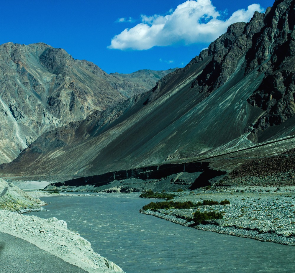


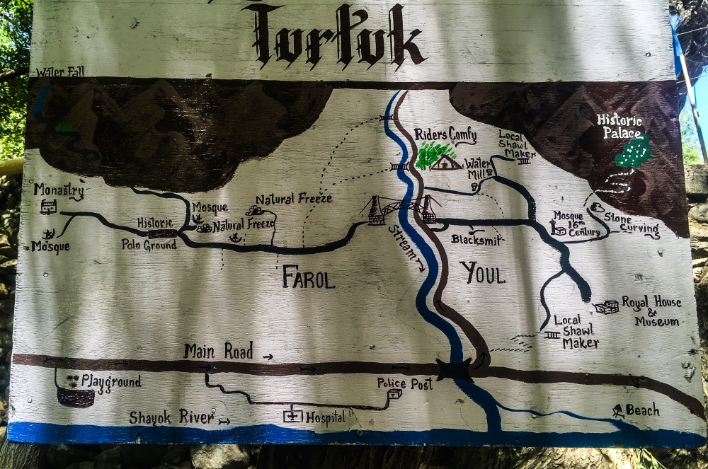


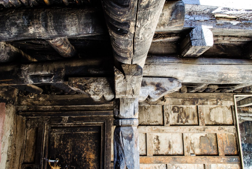


 own
private museum in the summer palace. The collection includes coins, old
metal and earthen pots, silver ink containers, shields, arrows used in
war, lapis lazuli encrusted sword, paintings, clothes, headgear,
footwear, family record books, leopard traps,stuffed heads of hunted
animals, along with a donation box for the visitors. The current ‘king,’
who is a writer and lover of books, earns his daily bread by
selling fruits and vegetables to the Indian army. He is also likely to
be the last king of his dynasty that once ruled Baltistan for more than
1000 years. His only son is more interested in doing business than
performing the role of a non-functional king of a non-existent kingdom.
own
private museum in the summer palace. The collection includes coins, old
metal and earthen pots, silver ink containers, shields, arrows used in
war, lapis lazuli encrusted sword, paintings, clothes, headgear,
footwear, family record books, leopard traps,stuffed heads of hunted
animals, along with a donation box for the visitors. The current ‘king,’
who is a writer and lover of books, earns his daily bread by
selling fruits and vegetables to the Indian army. He is also likely to
be the last king of his dynasty that once ruled Baltistan for more than
1000 years. His only son is more interested in doing business than
performing the role of a non-functional king of a non-existent kingdom.
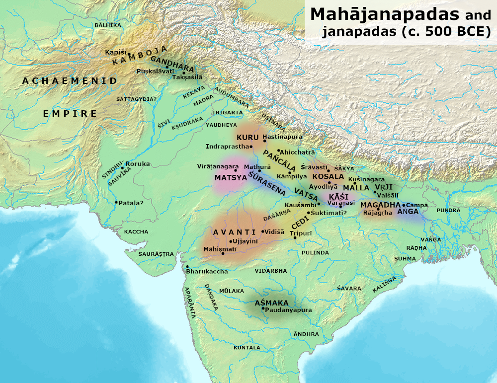


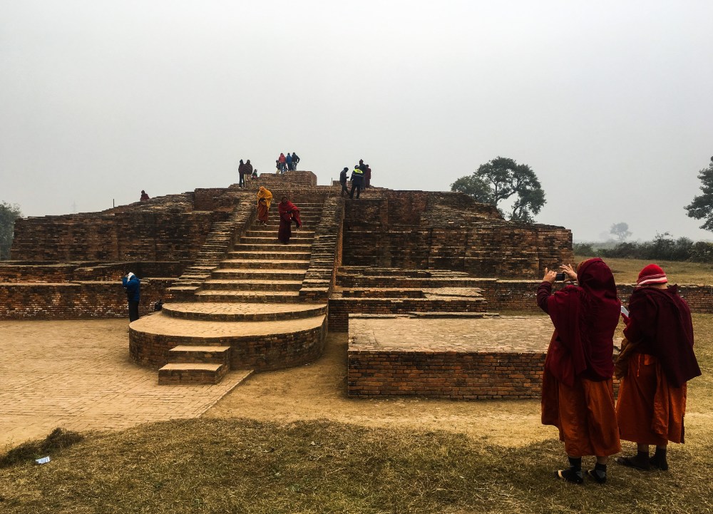


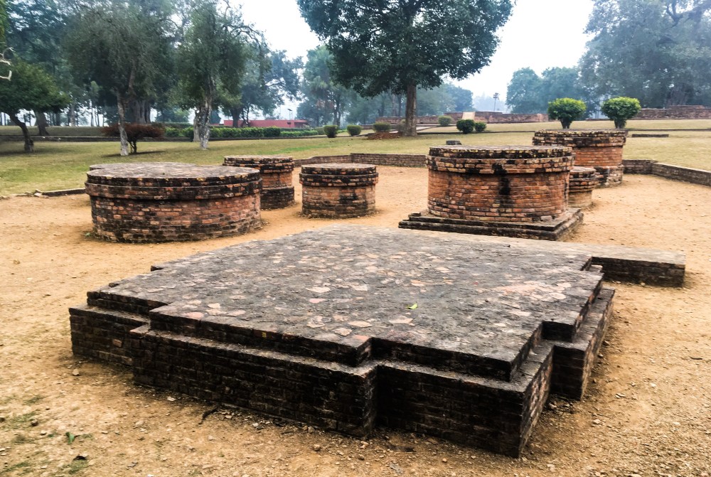

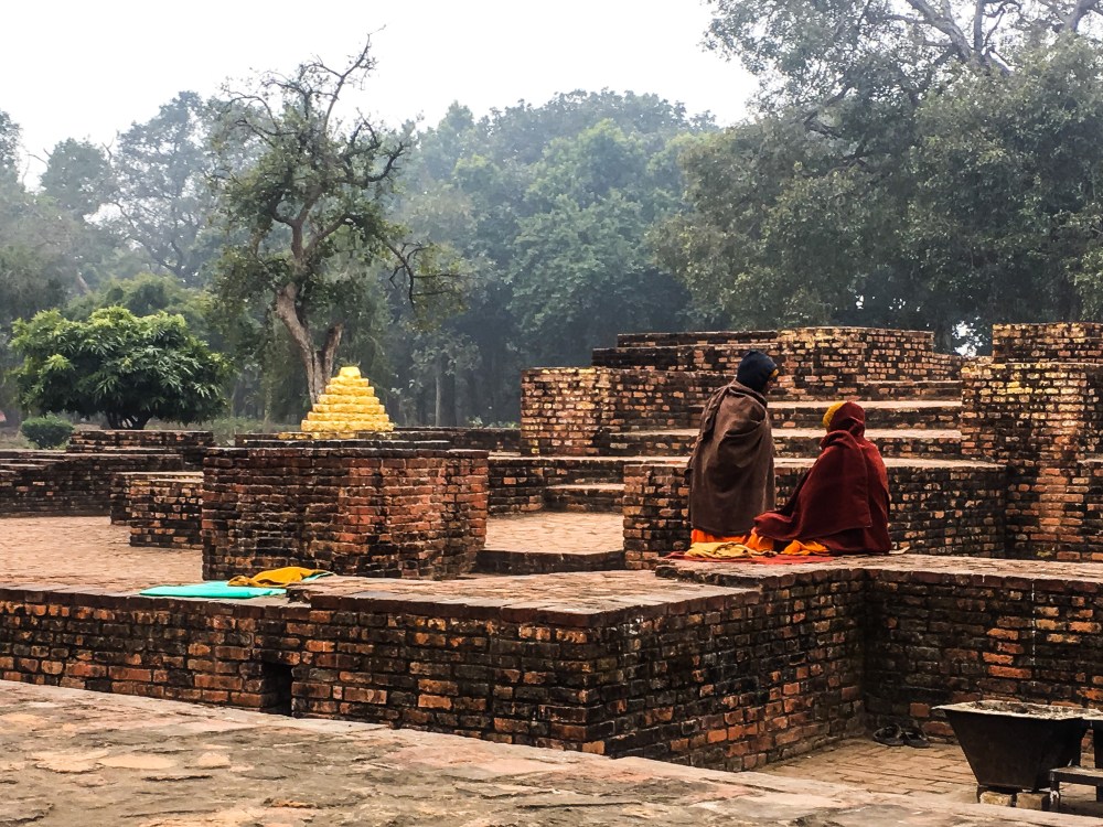


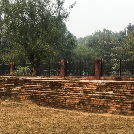


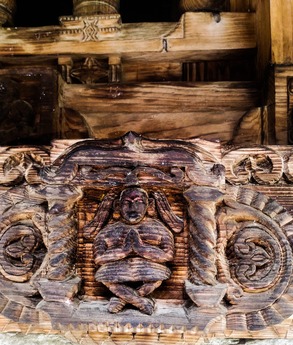
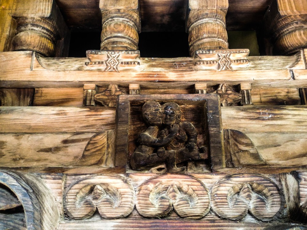


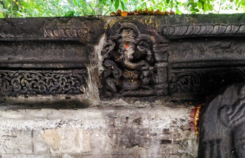


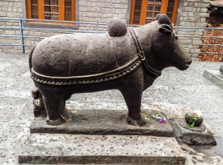


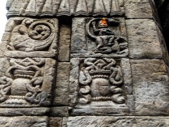


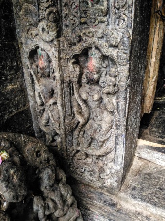


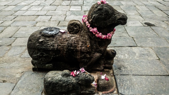


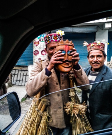
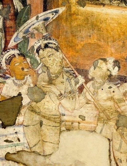


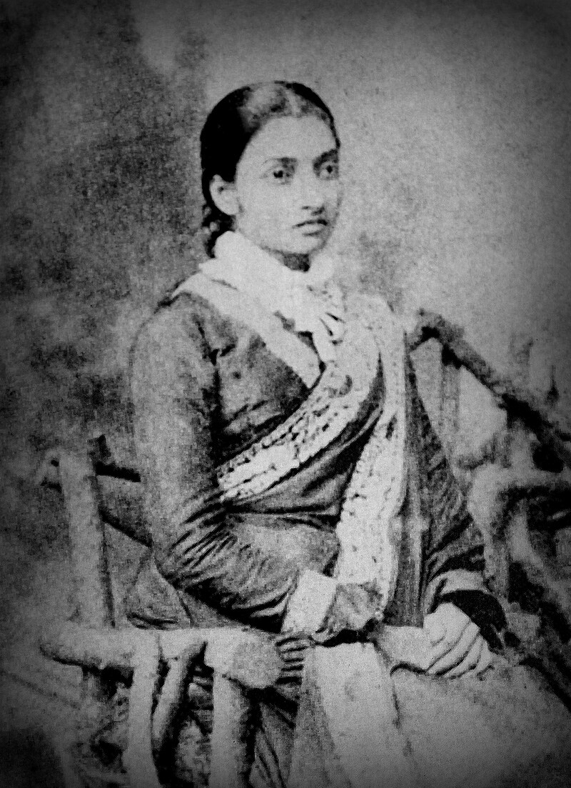


 style pioneered by Jnandanandini devi with the Nivi style of Andhra
Pradesh. In this style, the saree is draped by first tucking one end
into the waistband of the petticoat and then wrapping the cloth around
the lower part of the body once, followed by hand-made even pleats that
are tucked into the waistband, around the navel. After one more turn the
loose end is then draped over the left shoulder. Seen on right is
Maharani Ourmilla Devi of Jubbal wearing saree in the modern style.
style pioneered by Jnandanandini devi with the Nivi style of Andhra
Pradesh. In this style, the saree is draped by first tucking one end
into the waistband of the petticoat and then wrapping the cloth around
the lower part of the body once, followed by hand-made even pleats that
are tucked into the waistband, around the navel. After one more turn the
loose end is then draped over the left shoulder. Seen on right is
Maharani Ourmilla Devi of Jubbal wearing saree in the modern style.


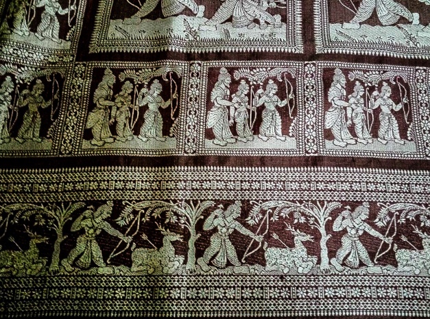

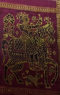


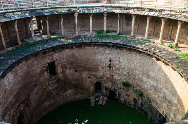


 Saraswati


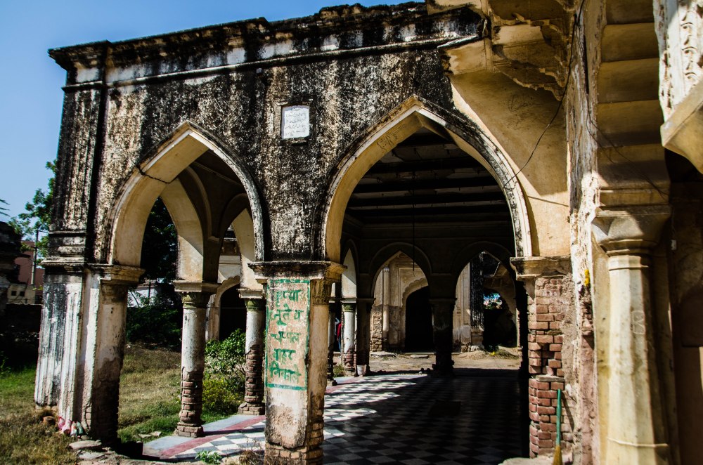
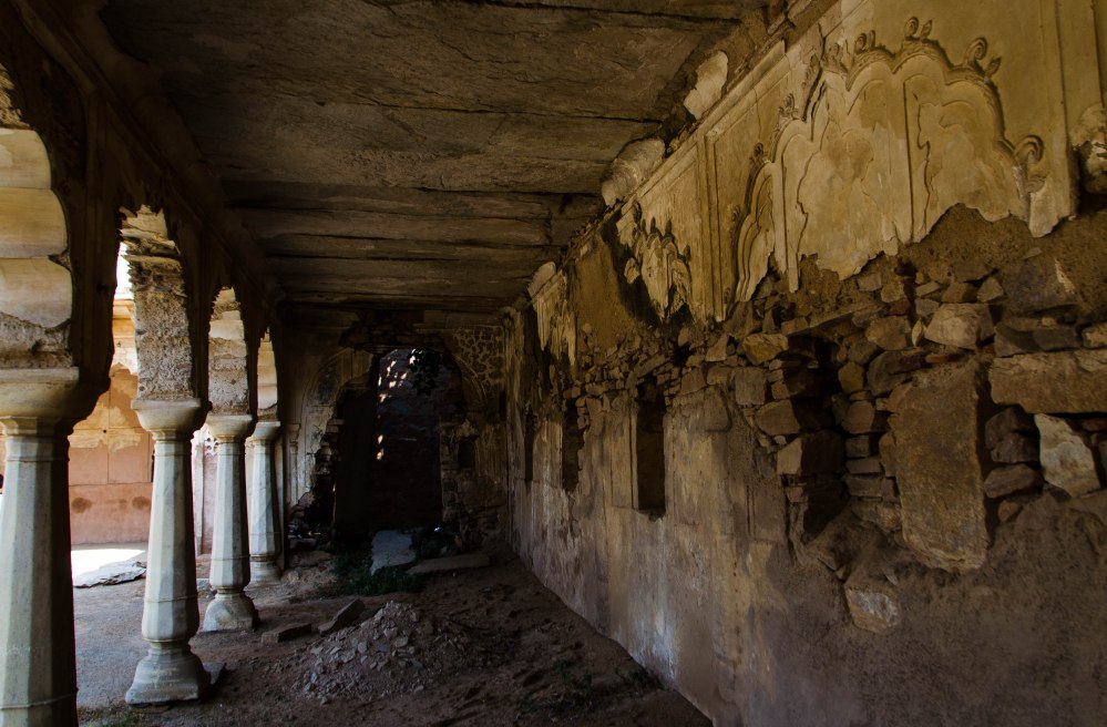


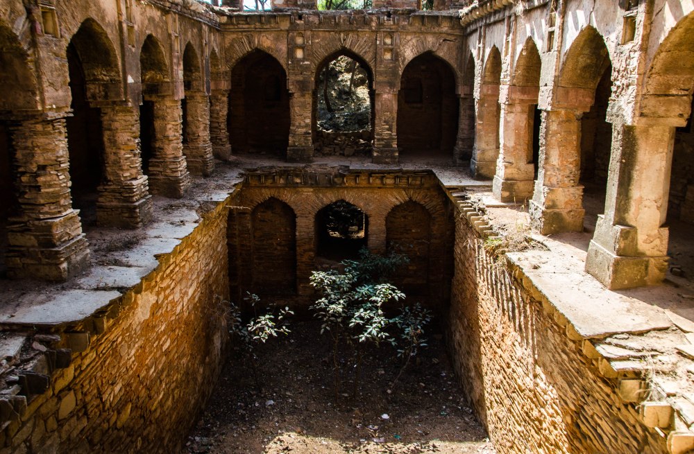 Mirza
Ali Jan’s Baoli was built by the Nawab of Narnaul during Akbar’s reign.
The baoli has a huge arched gateway carrying the ‘Takht’ and pillared
‘Chhatri’ on top. The arched gate opens to a three-storied ‘baoli’ that
lies empty and in ruins owing to complete lack of conservation.
Mirza
Ali Jan’s Baoli was built by the Nawab of Narnaul during Akbar’s reign.
The baoli has a huge arched gateway carrying the ‘Takht’ and pillared
‘Chhatri’ on top. The arched gate opens to a three-storied ‘baoli’ that
lies empty and in ruins owing to complete lack of conservation. 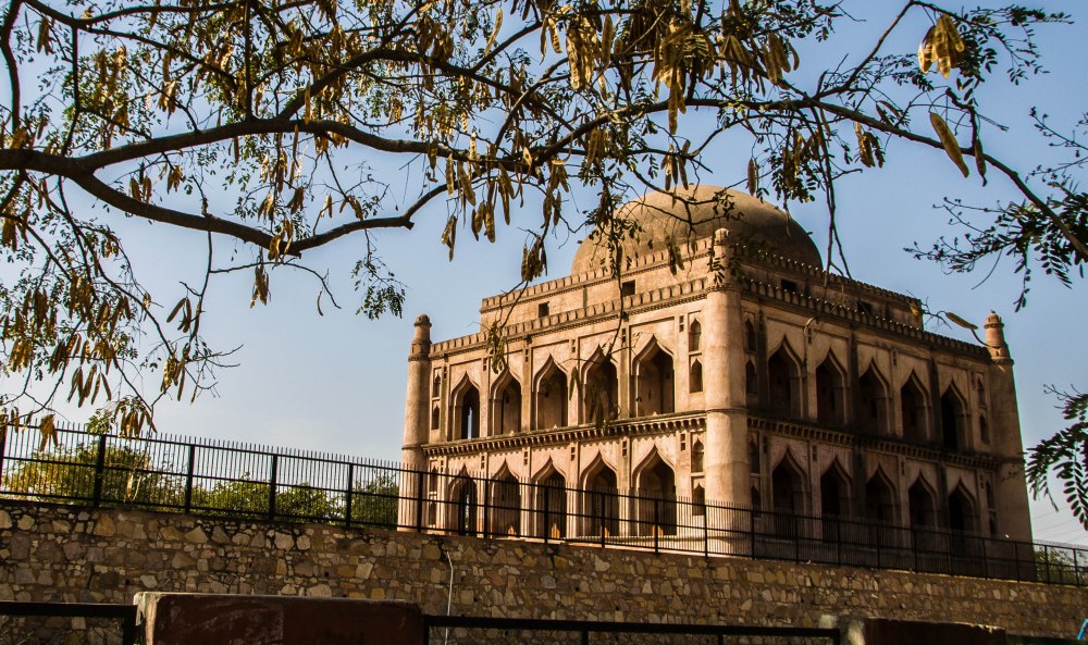
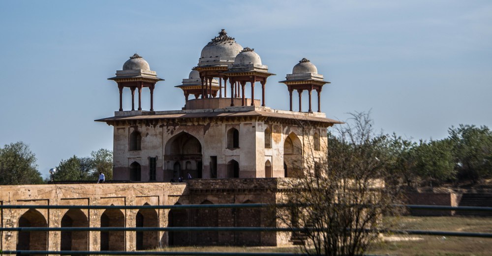
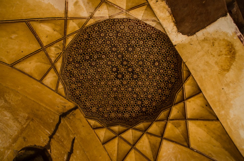
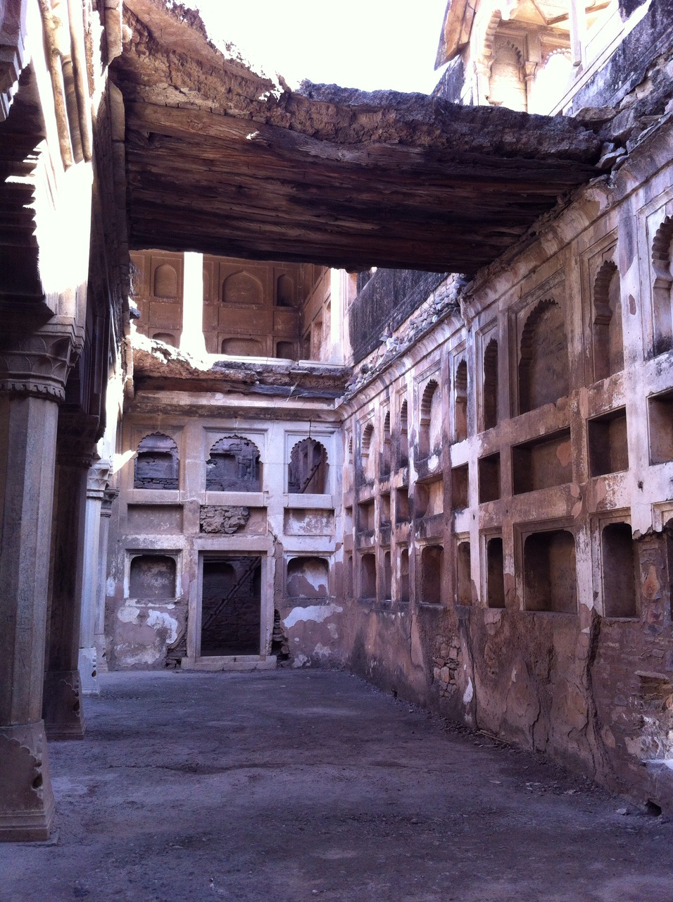
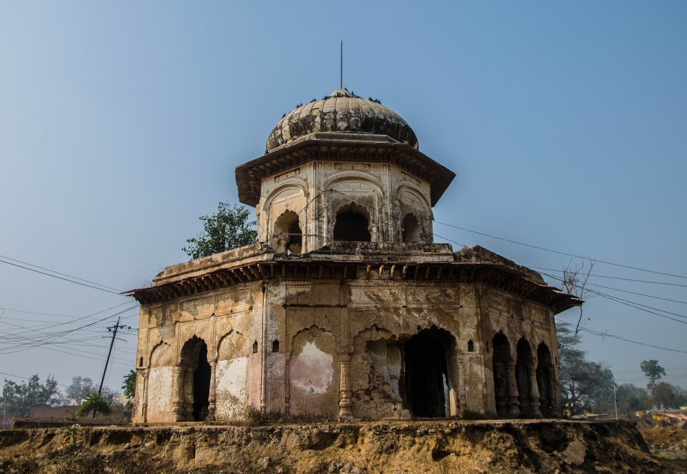
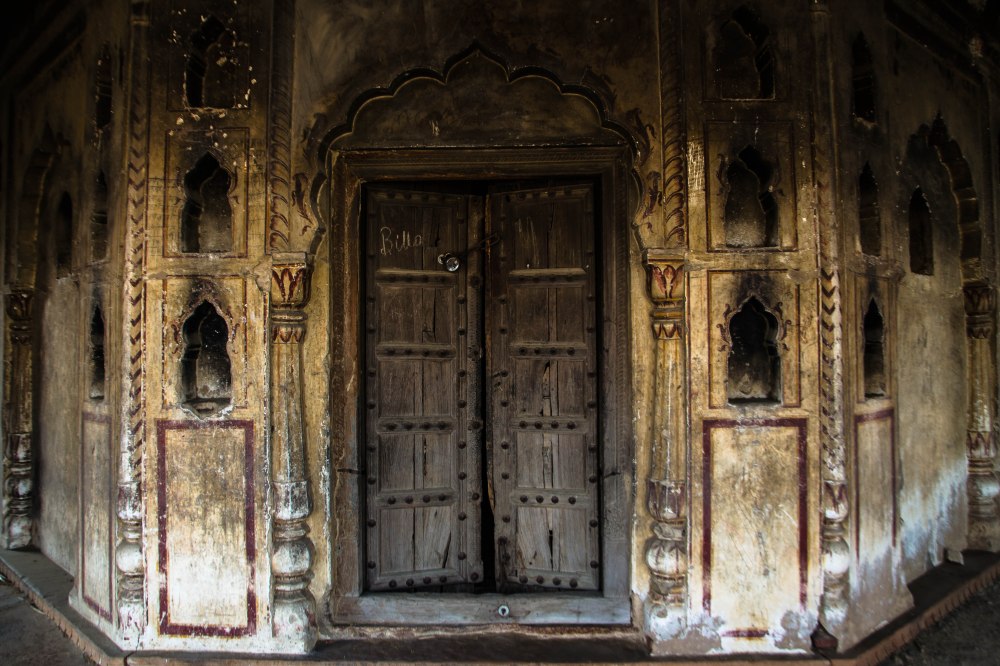

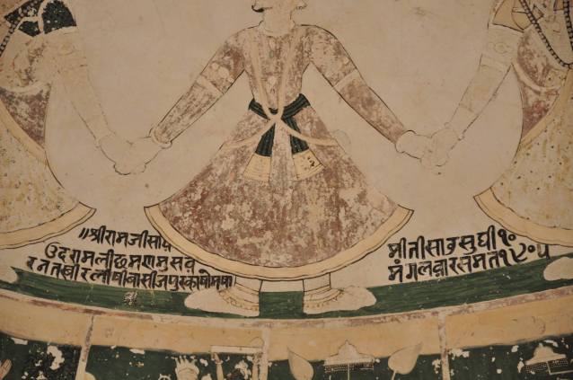
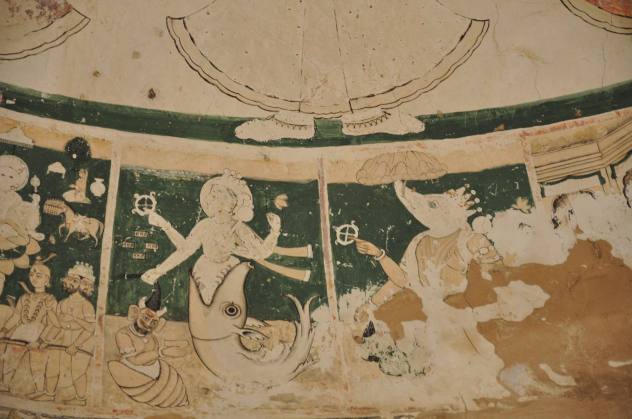
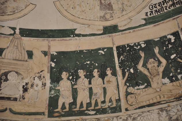
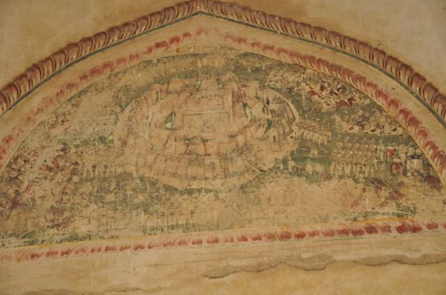
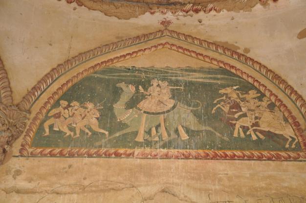
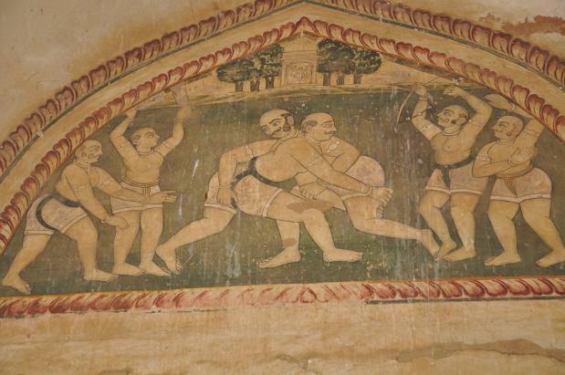
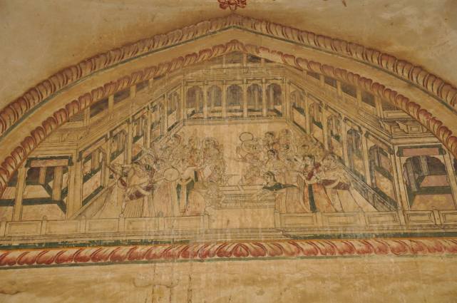
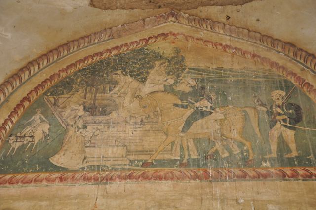


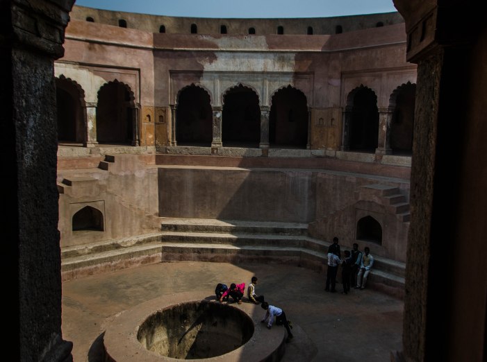
 Bengalis
love travelling, and what is better than to travel during the Durga
puja vacations, to see far off places, when the sky is overwhelmingly
blue and the sunshine so inviting
Bengalis
love travelling, and what is better than to travel during the Durga
puja vacations, to see far off places, when the sky is overwhelmingly
blue and the sunshine so inviting


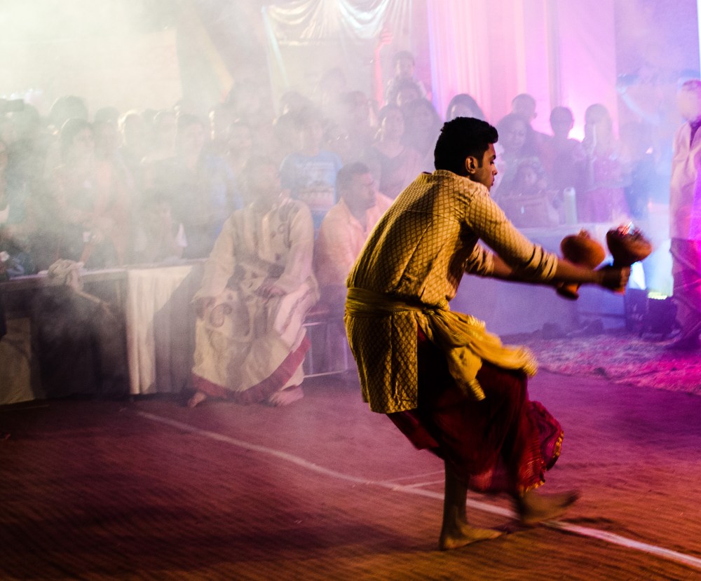
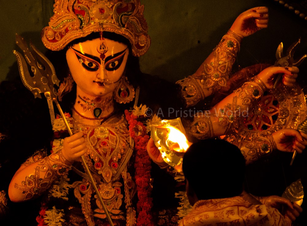
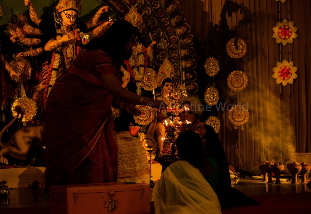


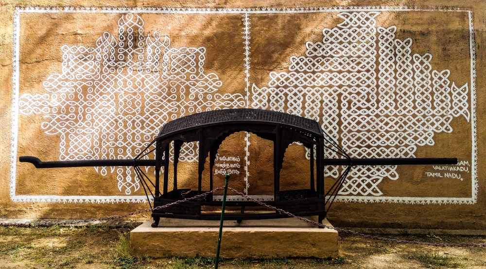


 the old Babylonian concept of the tree of life, known as the tree of Ea
or Ukkanu that grew in Eridu, the Babylonian name for paradise. A
Babylonian seal which is now in the British museum (seen here on right: source) It
shows two figures on two sides of the tree of life, stretching their
hands ready to pluck the fruit, with the serpent (representing the cycle
of life and death in Babylonian times) standing behind the woman.
Another Babylonian cylinder, now kept in the Museum at the Hague,
depicts a garden with a palm tree at the centre, surrounded by other
trees and birds. There are two figures plucking the fruit, while a third
figure is holding the fruit, looking as if speaking to the other
two. It is these symbols were later copied/adopted in the Bible by the
Christians and Jews, and later also in the Quran.
the old Babylonian concept of the tree of life, known as the tree of Ea
or Ukkanu that grew in Eridu, the Babylonian name for paradise. A
Babylonian seal which is now in the British museum (seen here on right: source) It
shows two figures on two sides of the tree of life, stretching their
hands ready to pluck the fruit, with the serpent (representing the cycle
of life and death in Babylonian times) standing behind the woman.
Another Babylonian cylinder, now kept in the Museum at the Hague,
depicts a garden with a palm tree at the centre, surrounded by other
trees and birds. There are two figures plucking the fruit, while a third
figure is holding the fruit, looking as if speaking to the other
two. It is these symbols were later copied/adopted in the Bible by the
Christians and Jews, and later also in the Quran.


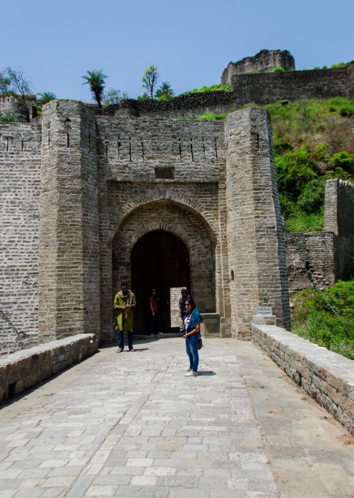
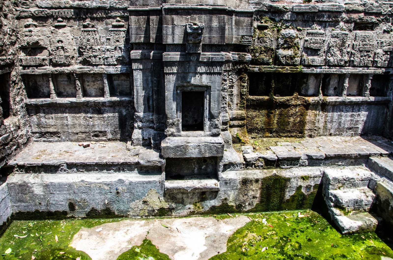

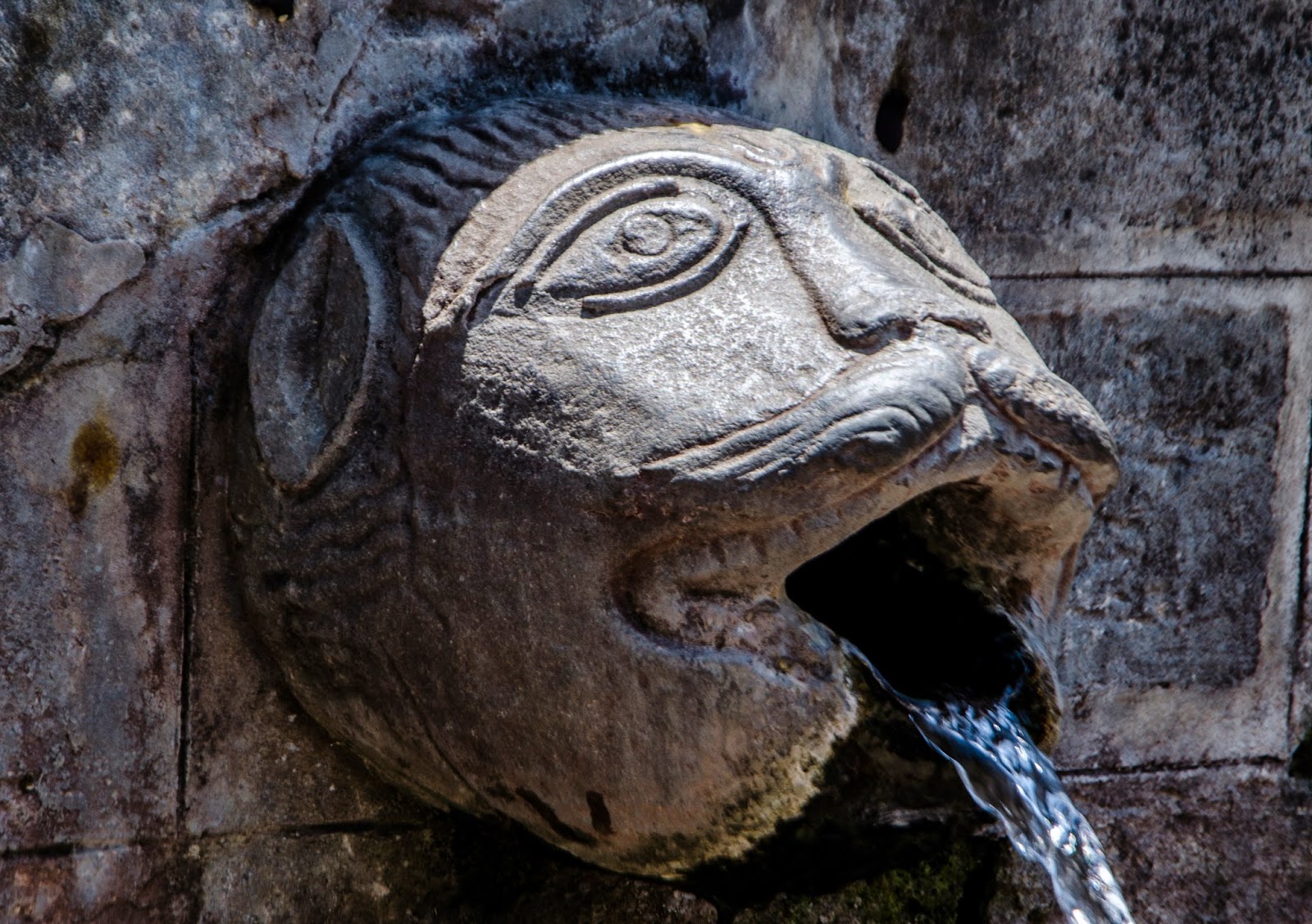


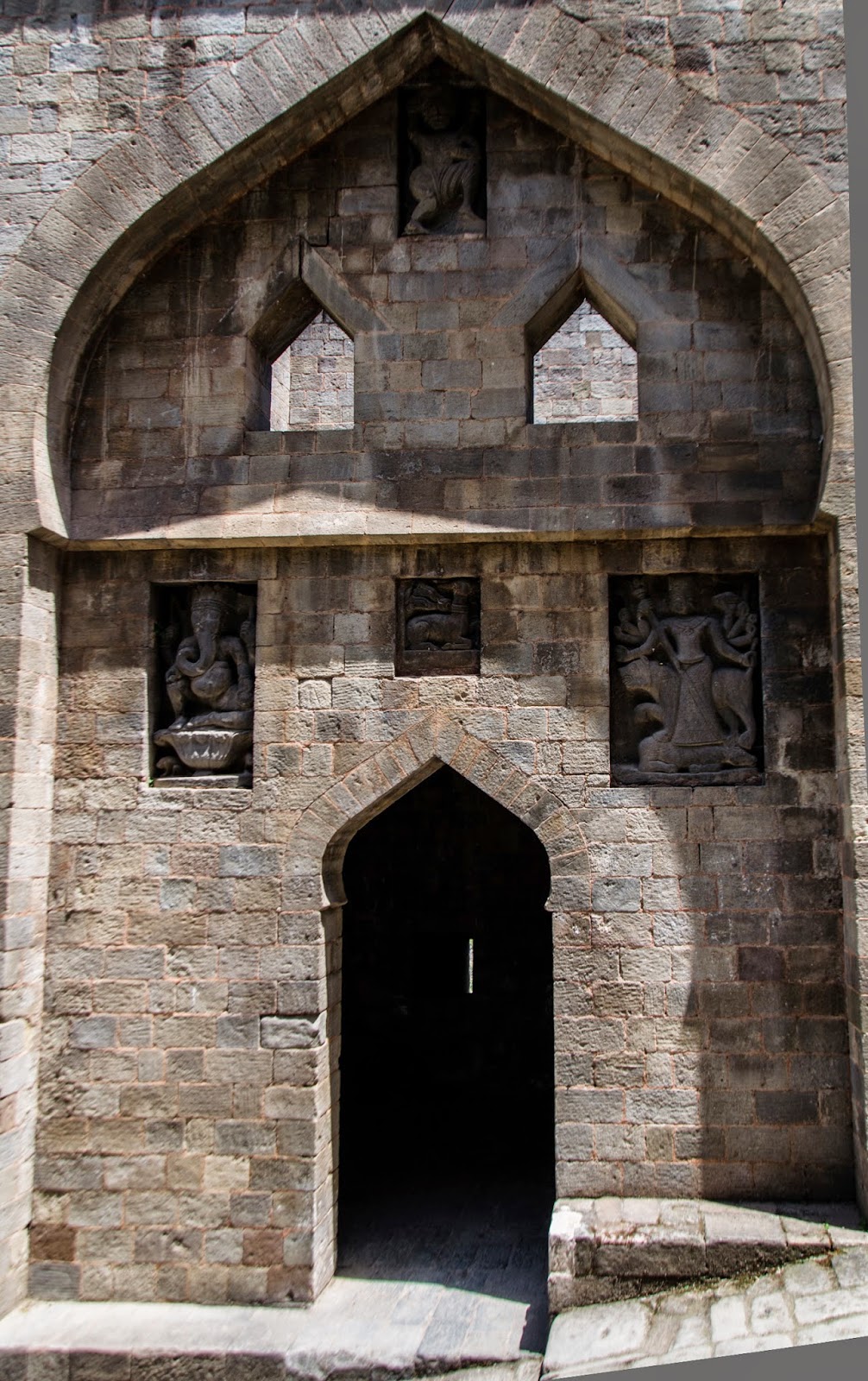
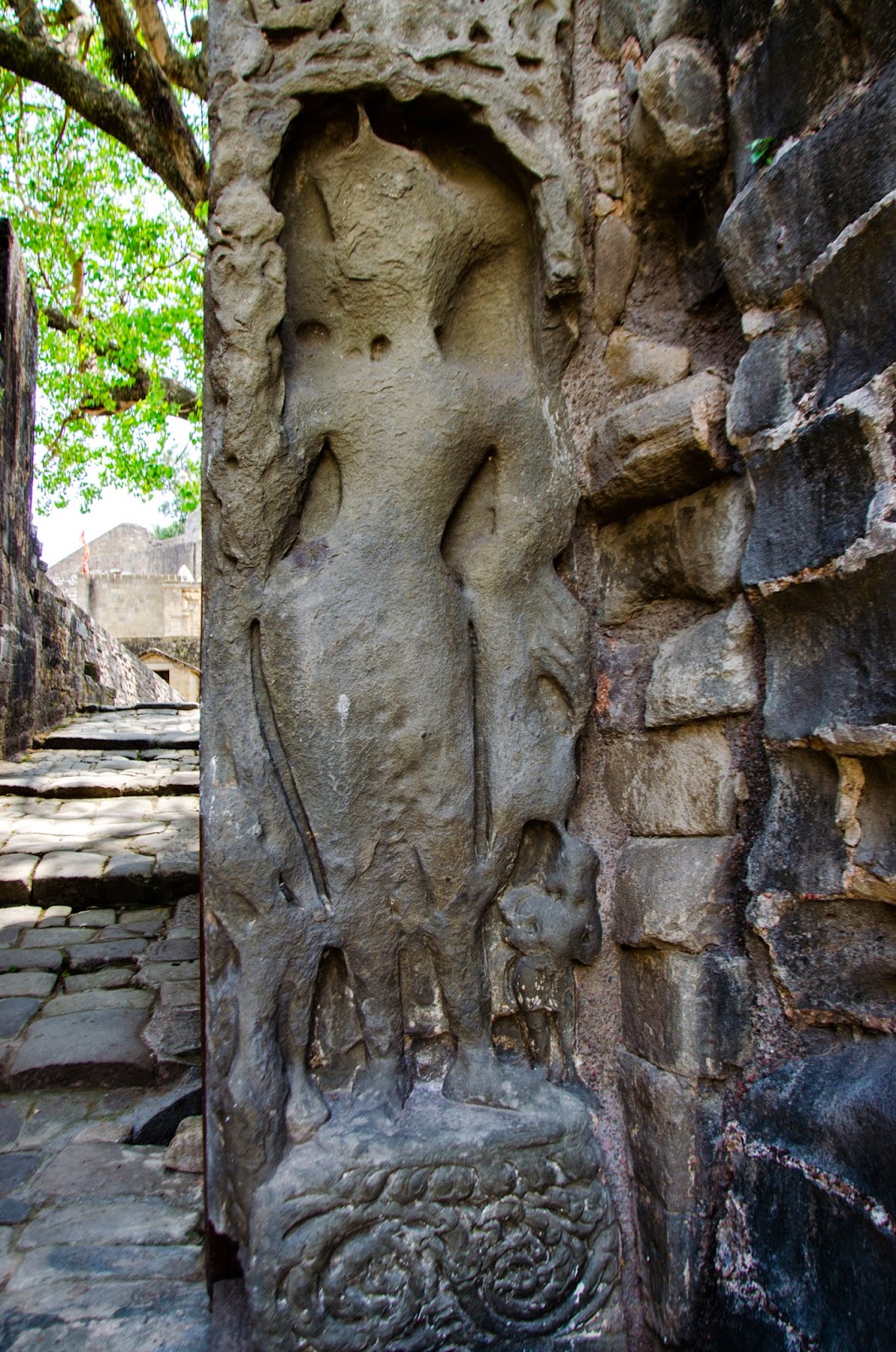
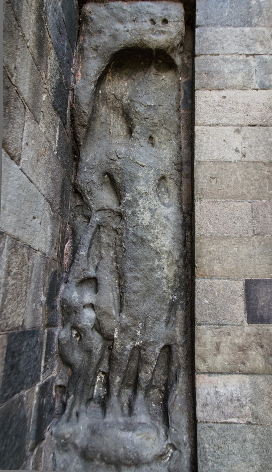

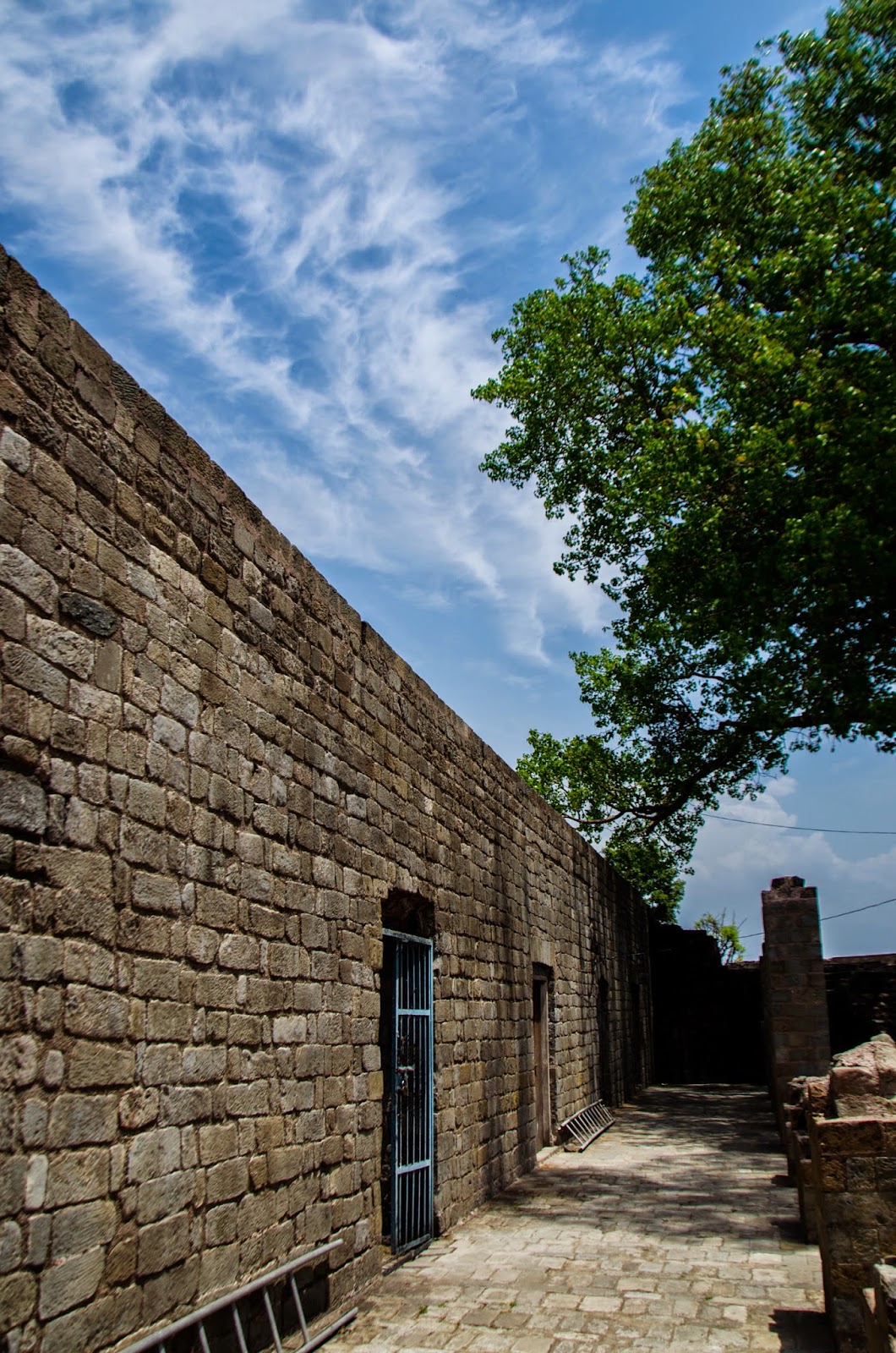
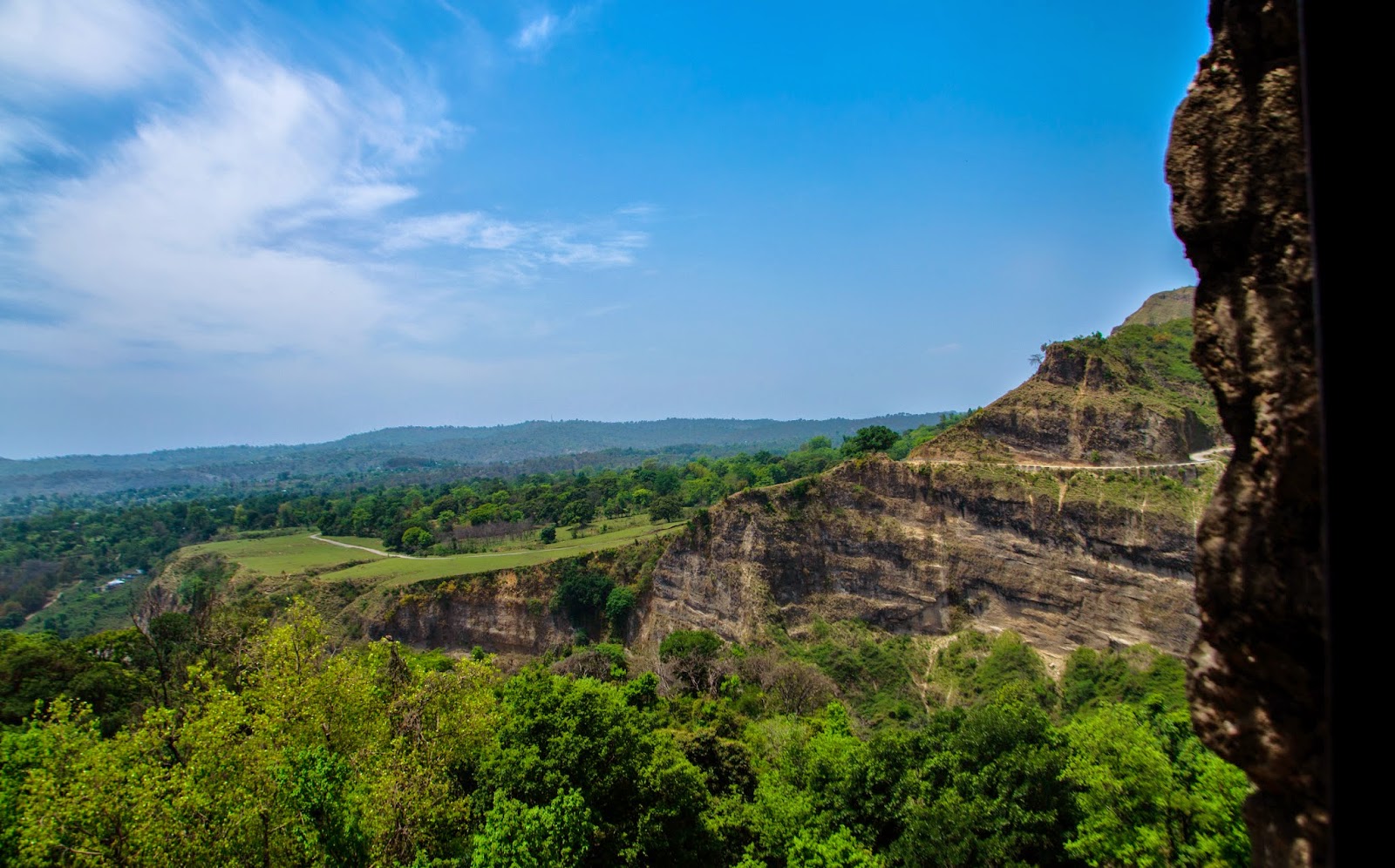
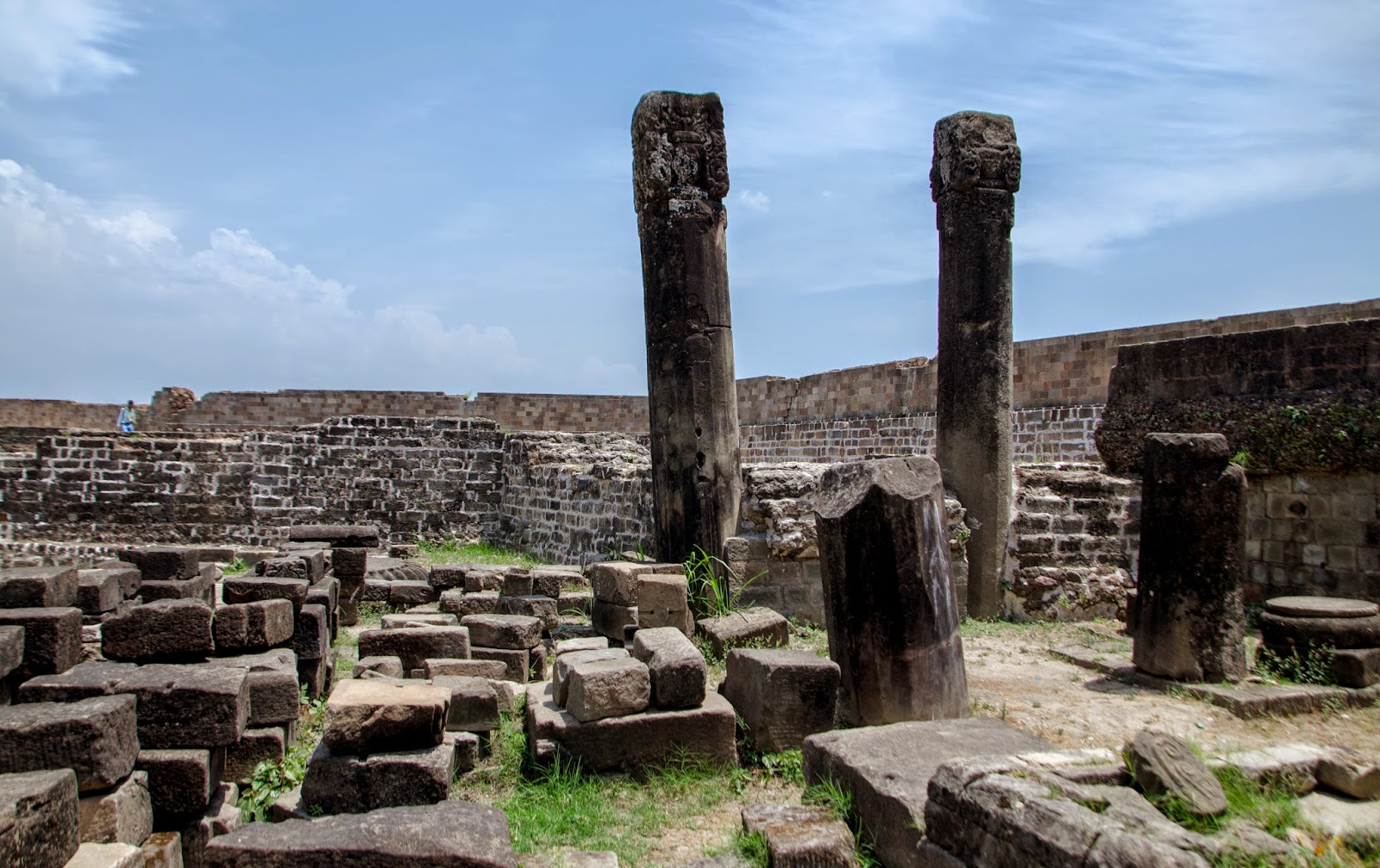
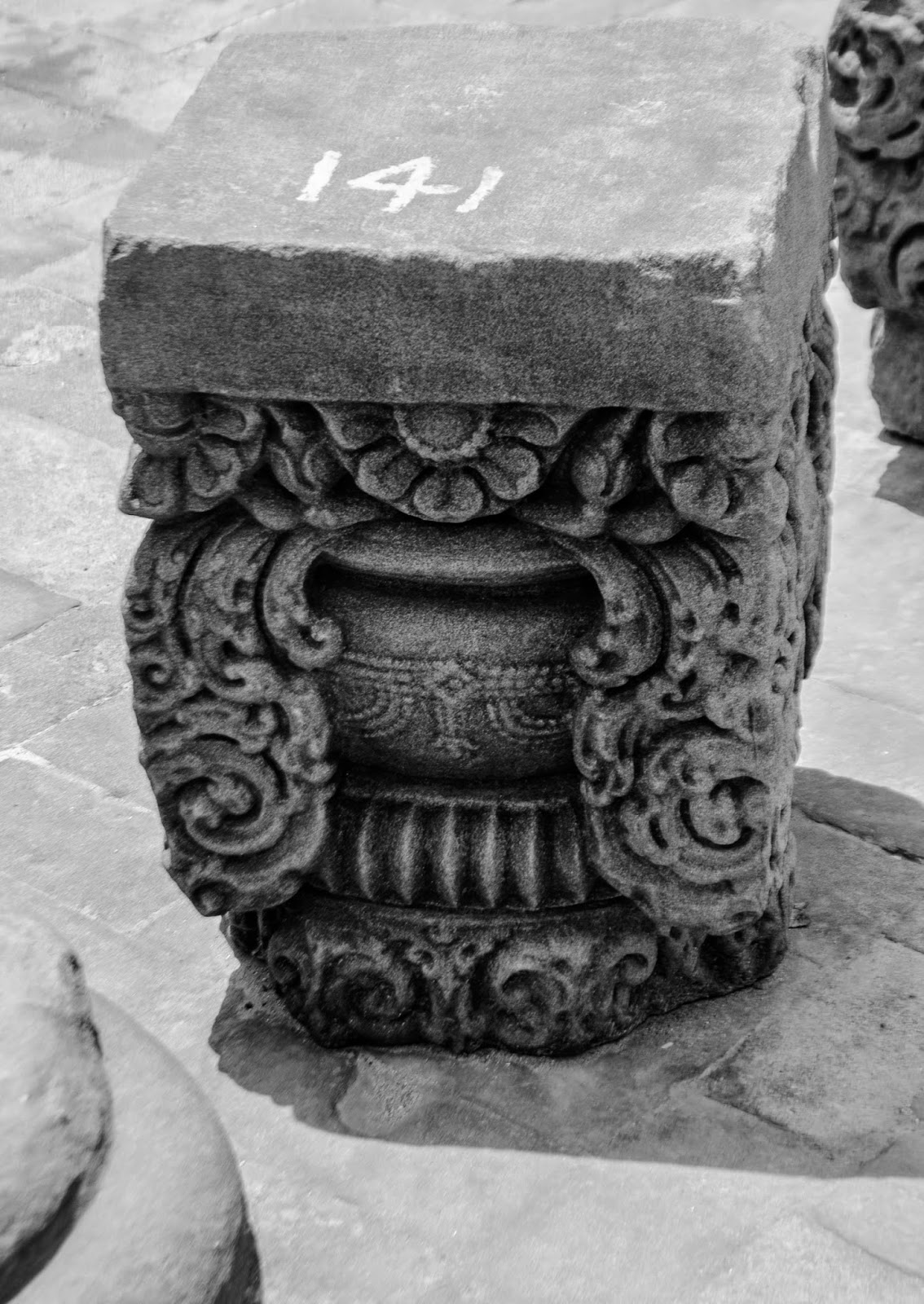
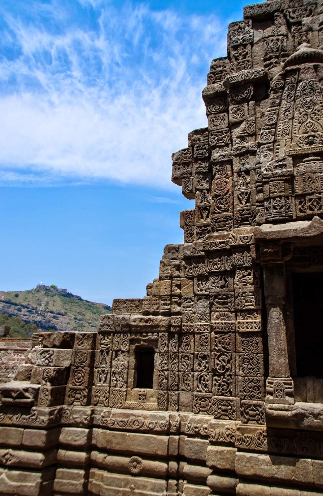


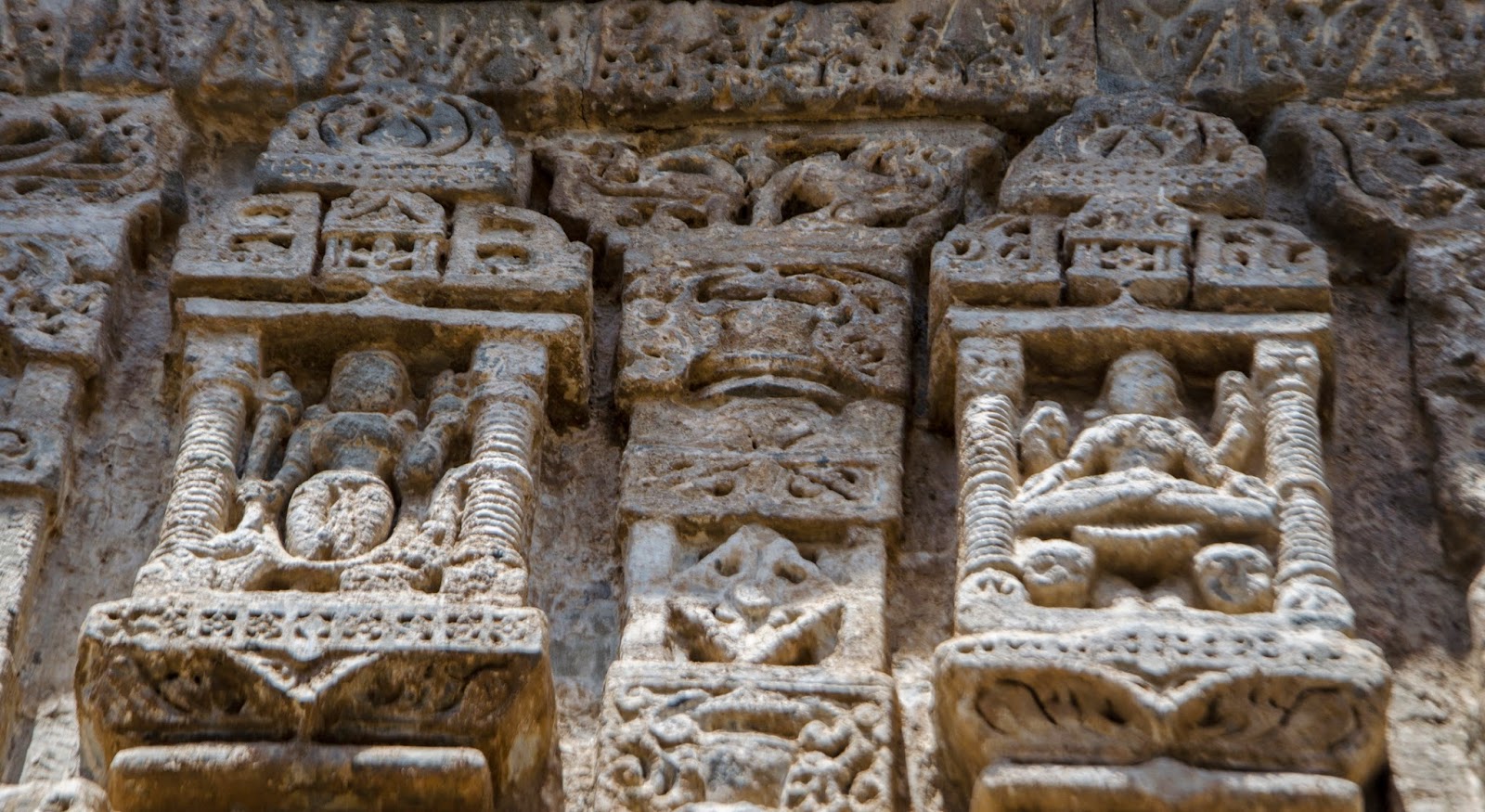
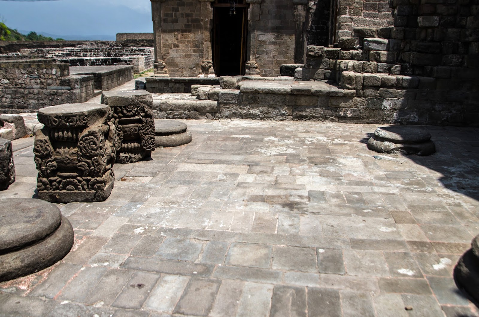

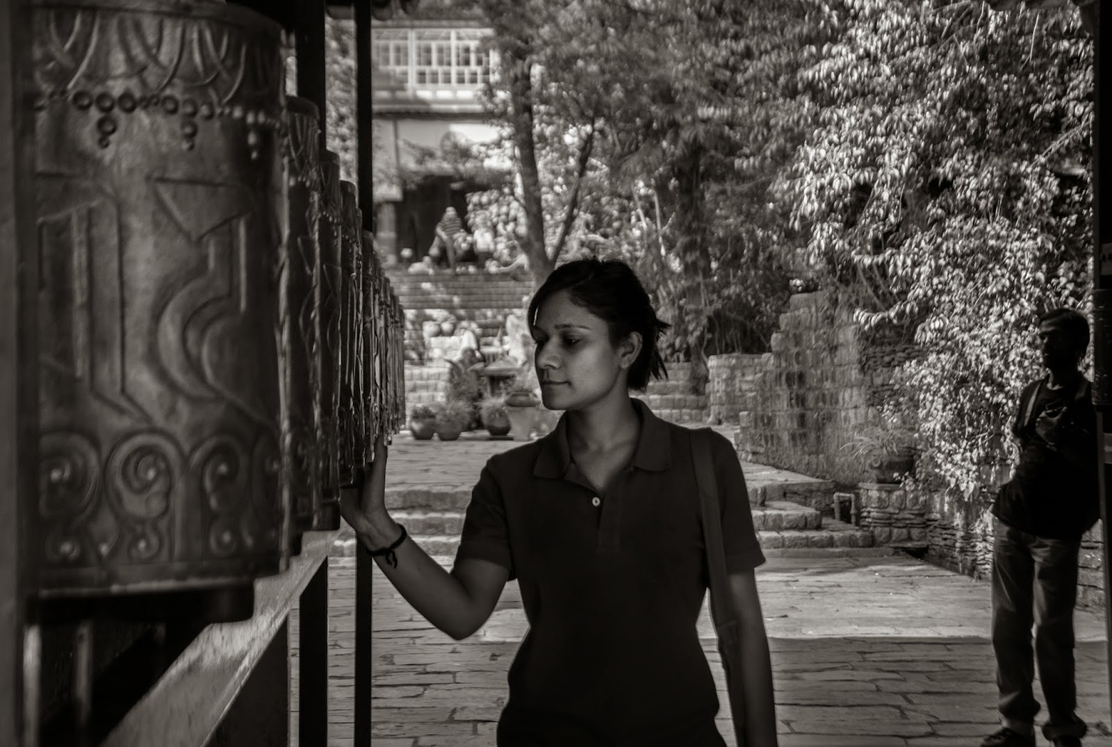
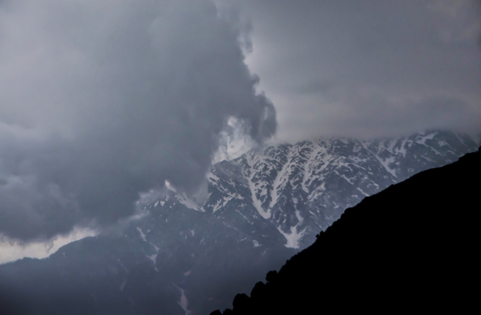

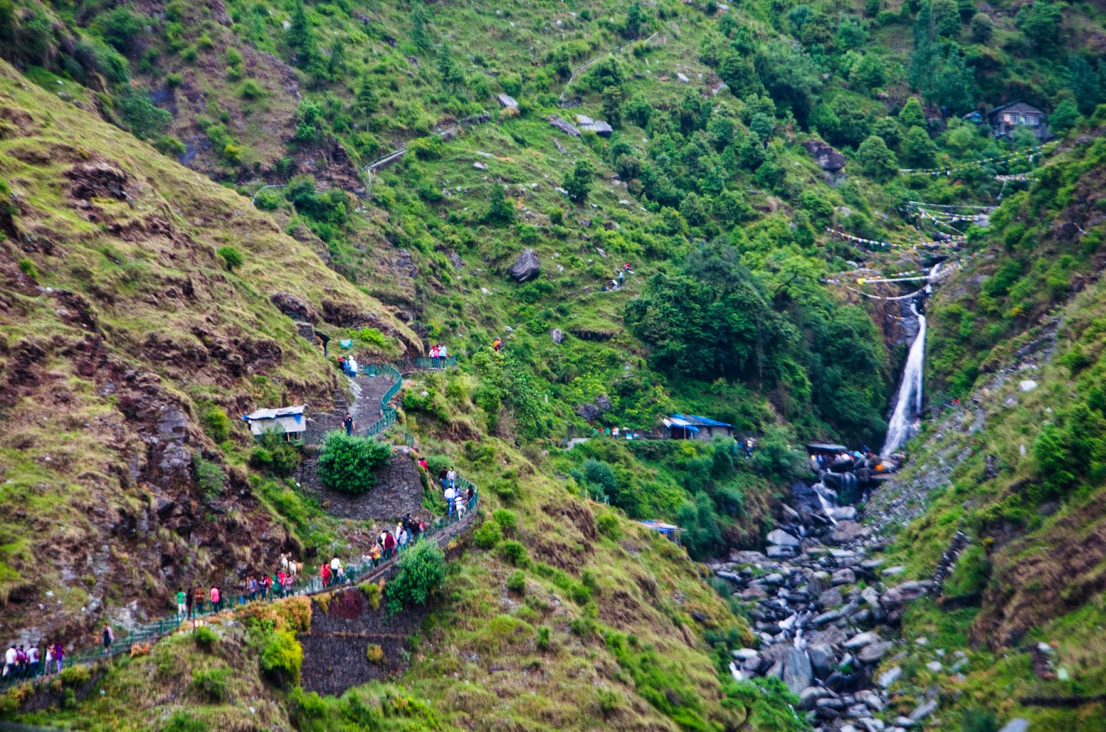
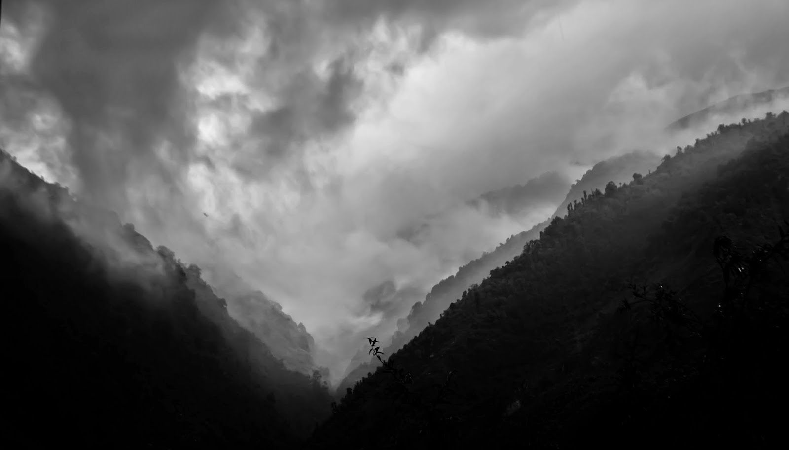
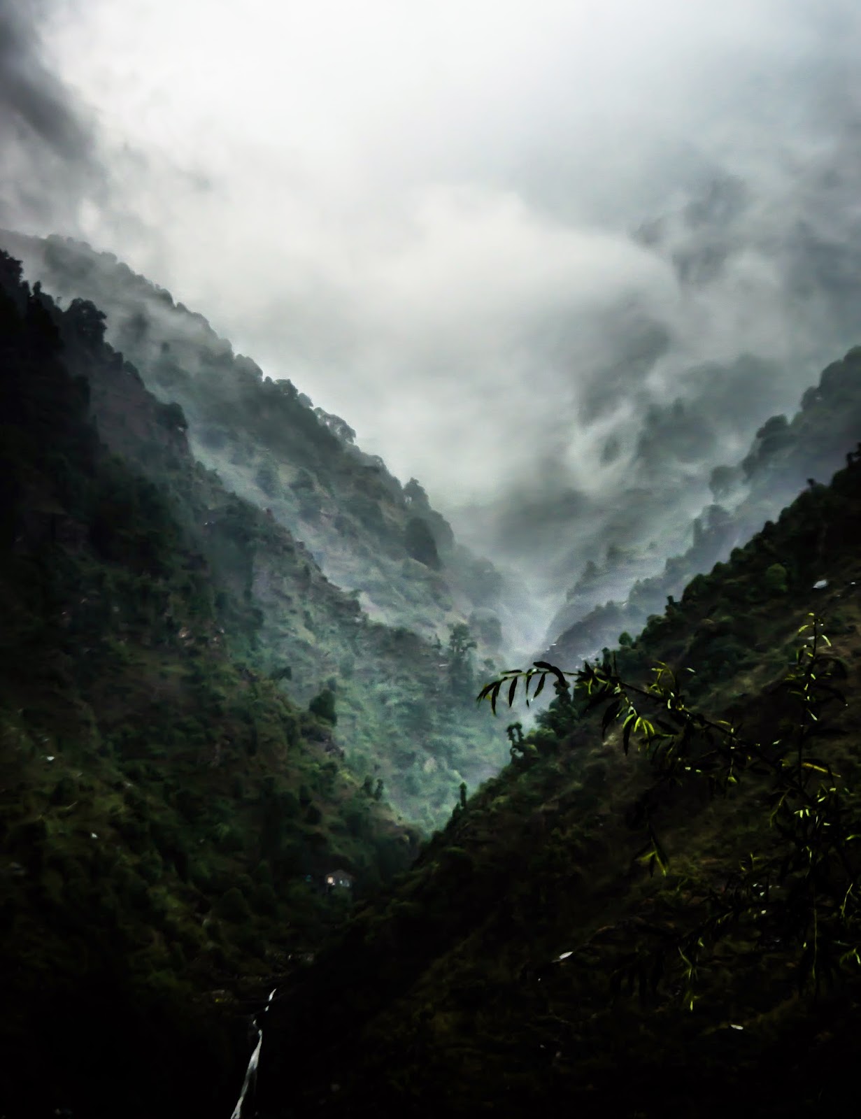


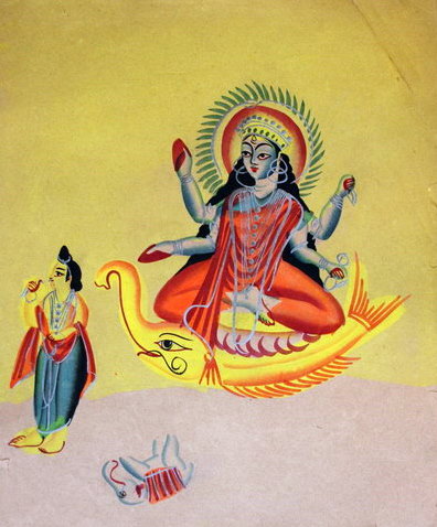
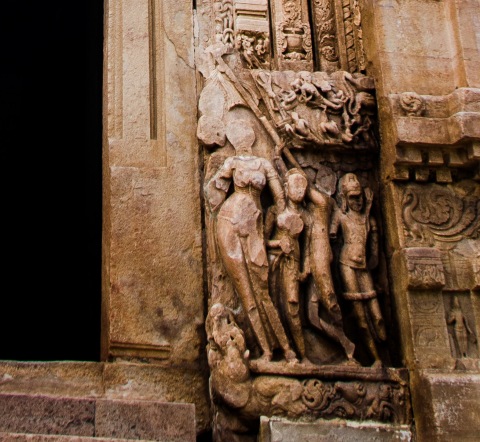


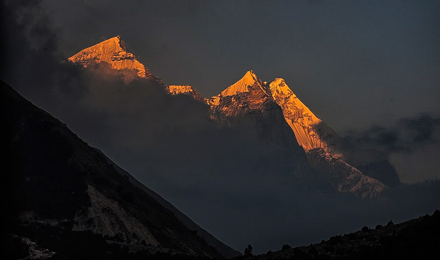


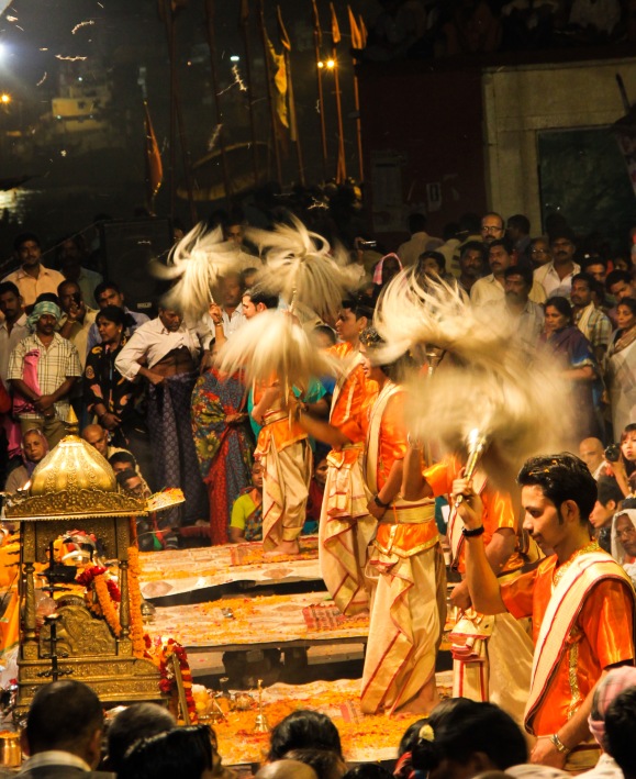


 For now, I will leave you at Kashidham with Ganga, where the Devi makes a lovely arc and turns Uttarvahini.


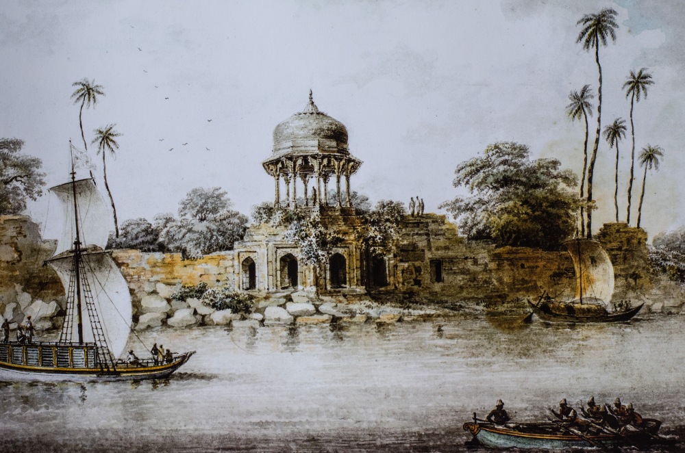


![Image: [Kalighat paintings - separate sheets]](https://i.pinimg.com/564x/c8/22/4a/c8224a67d6882bc416bdf6b112834998.jpg)


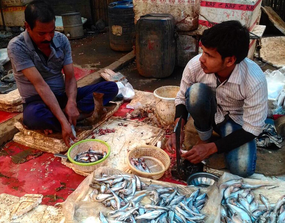


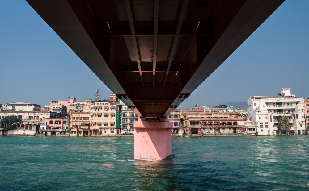
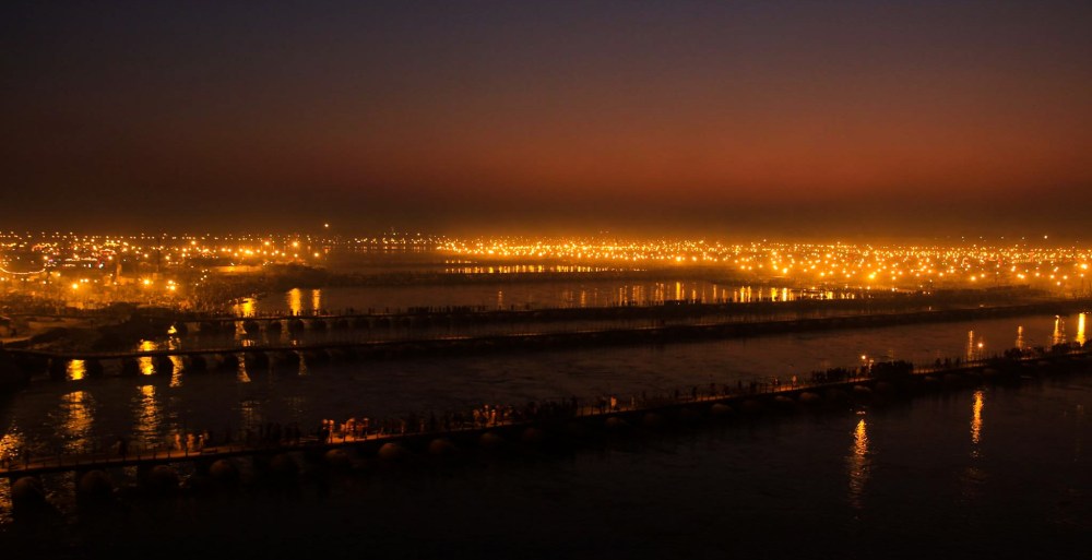
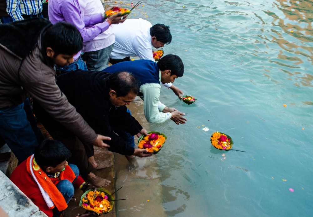

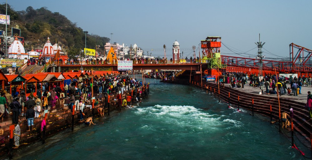
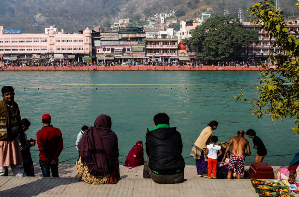
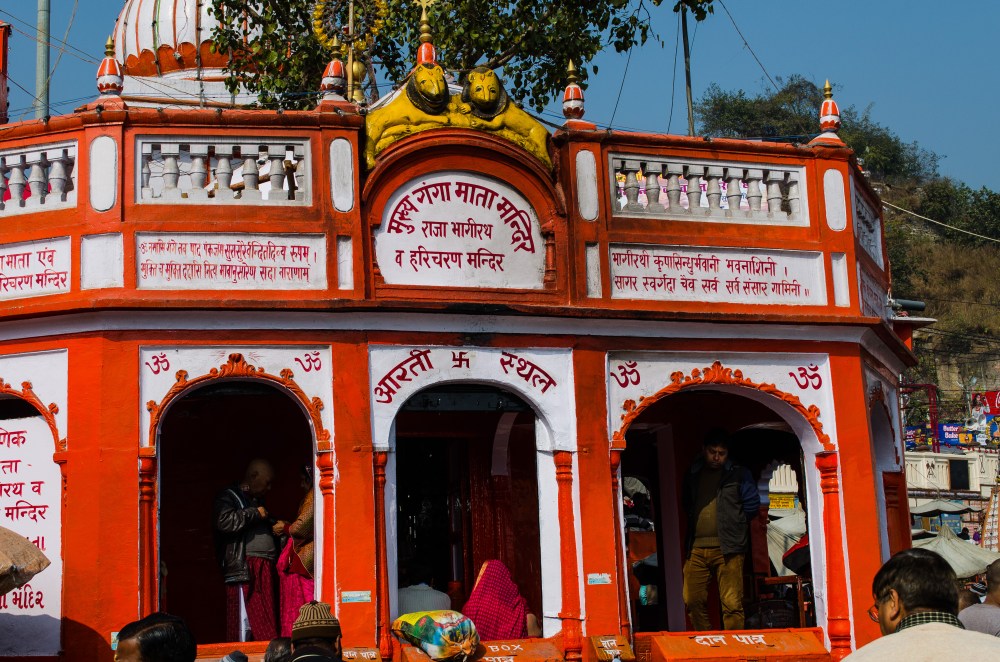
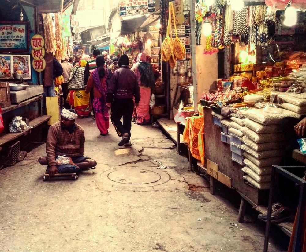

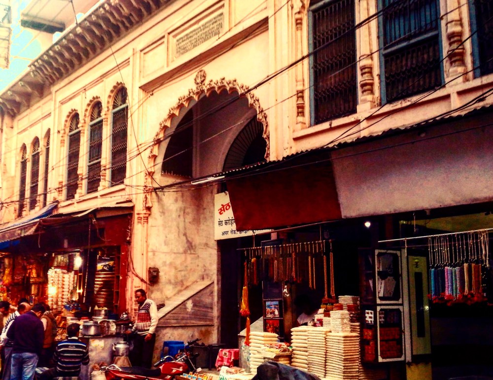
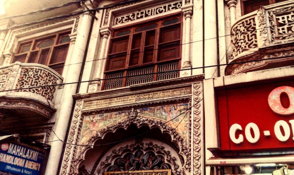
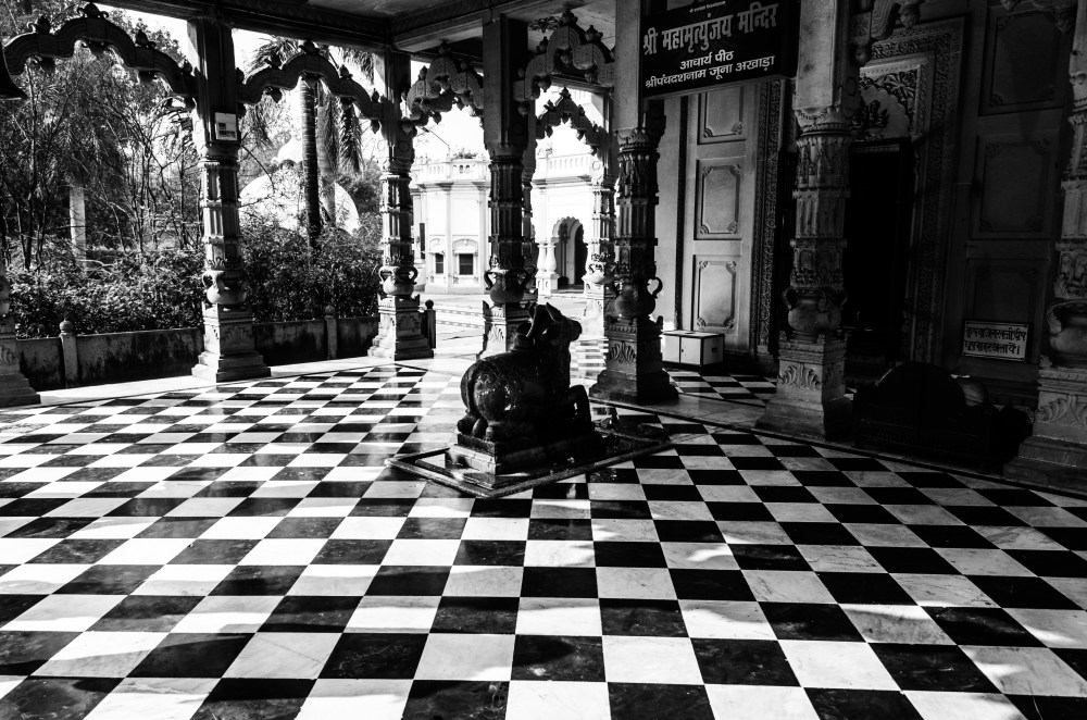
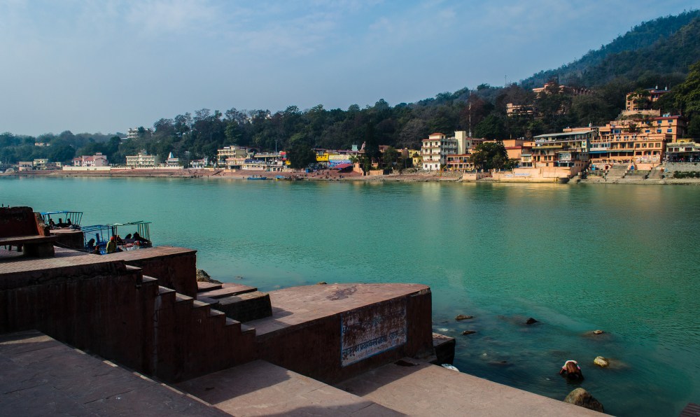
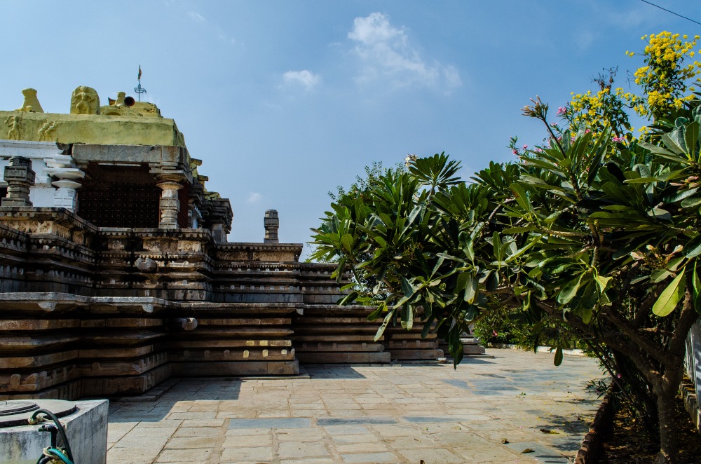


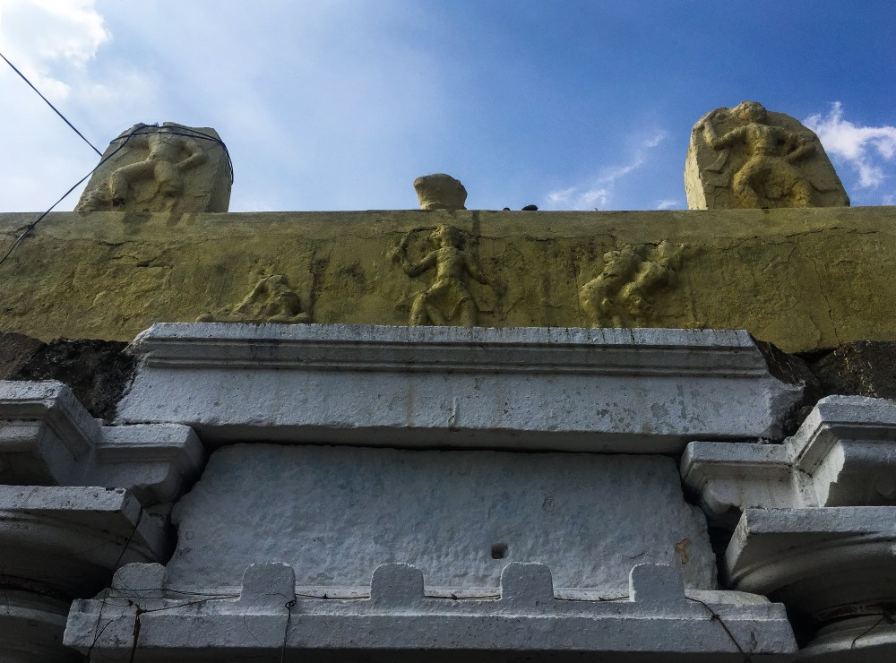


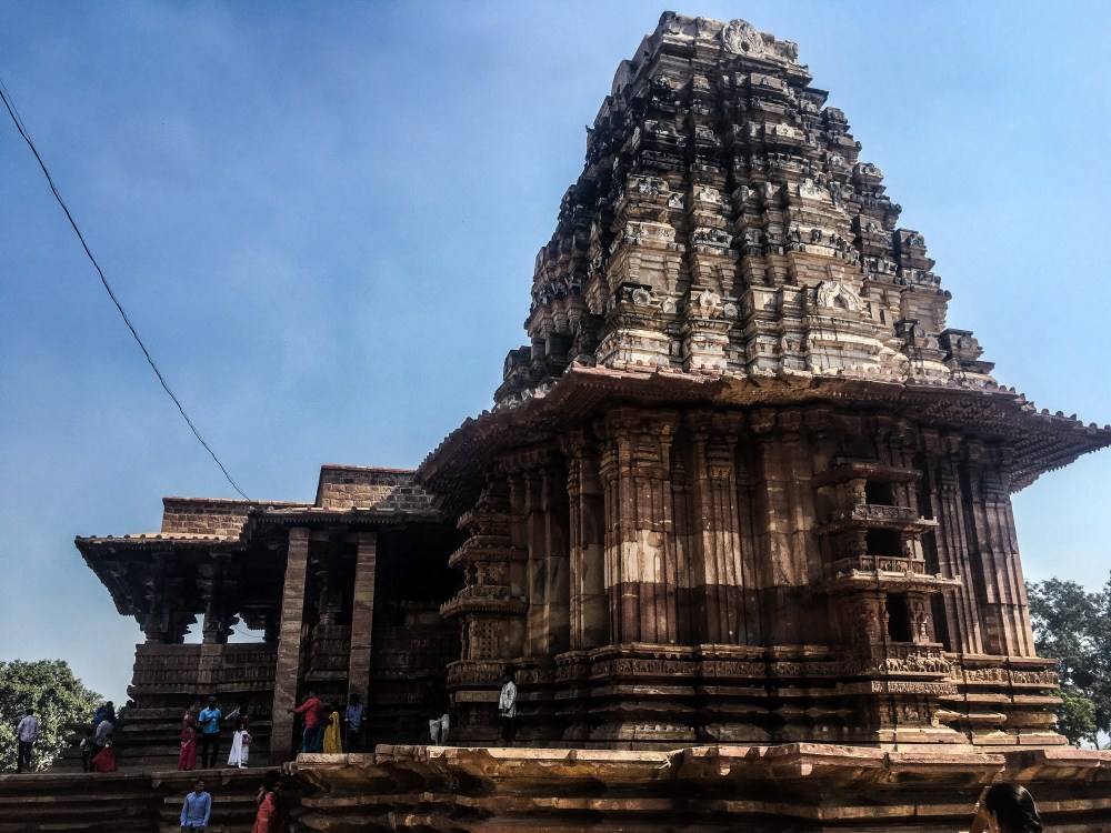
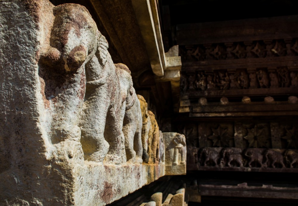
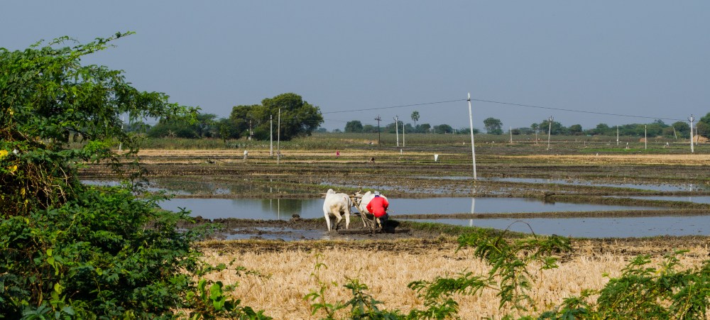
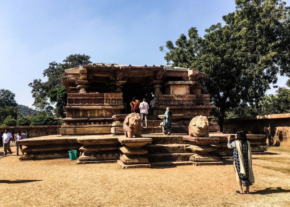

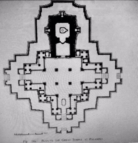

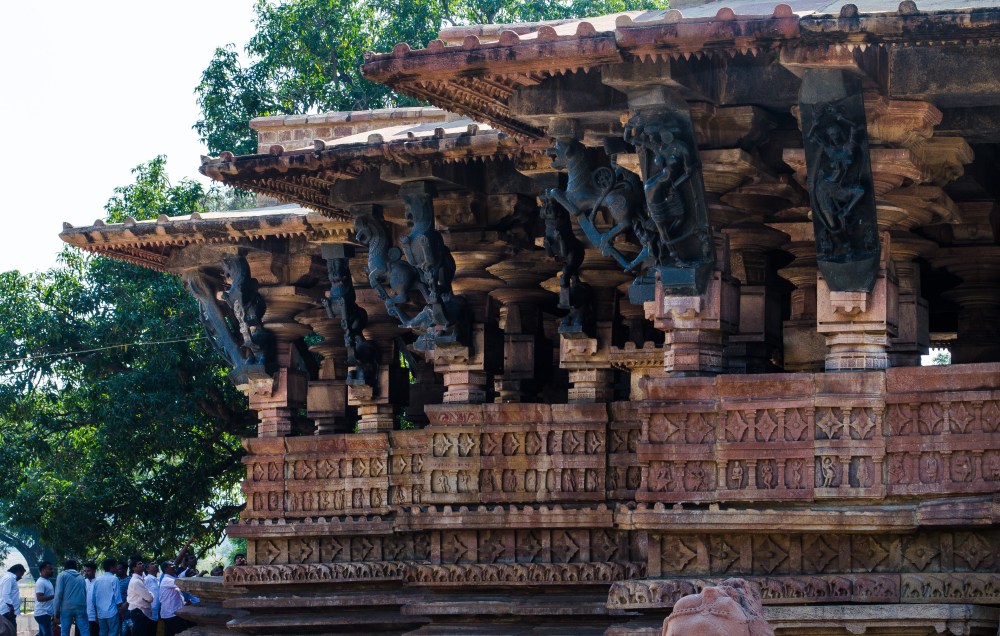
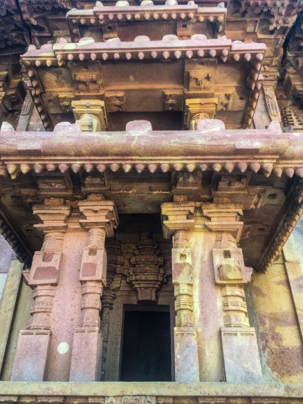
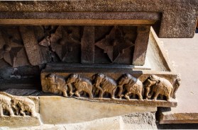

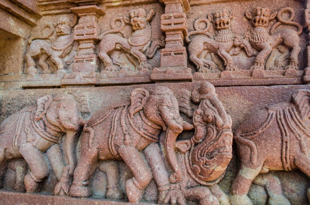
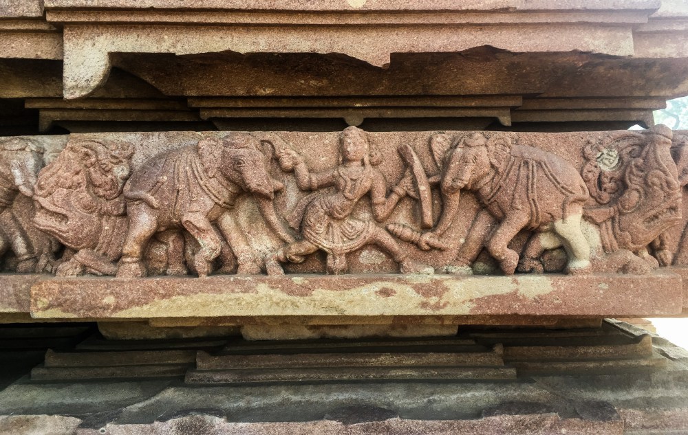
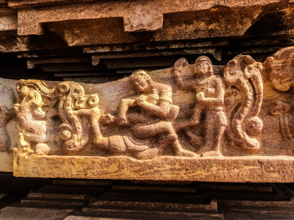
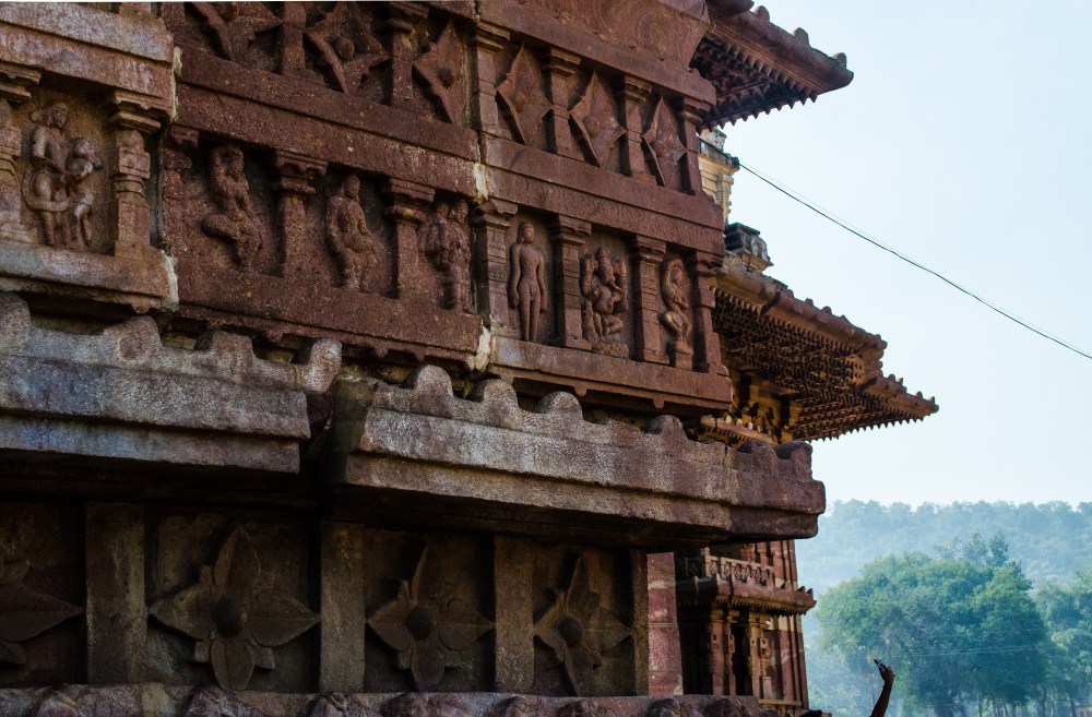
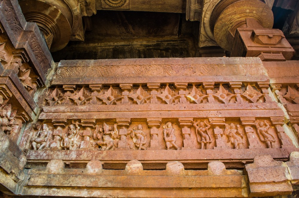
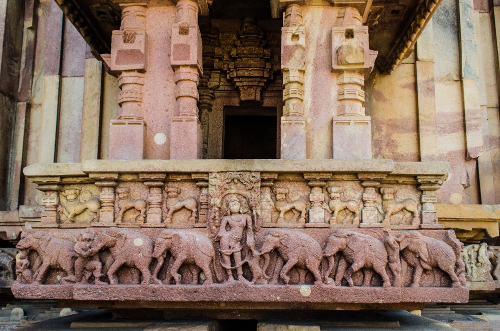
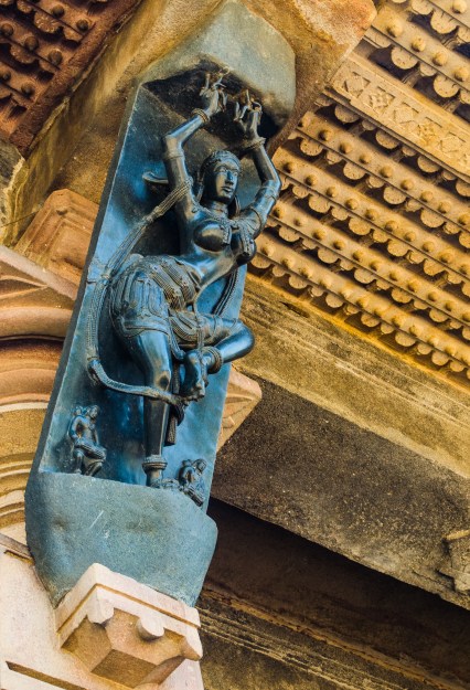
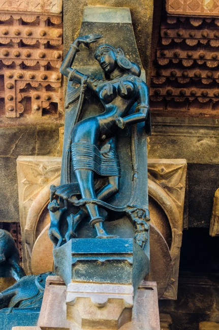

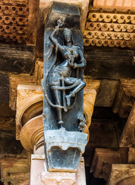
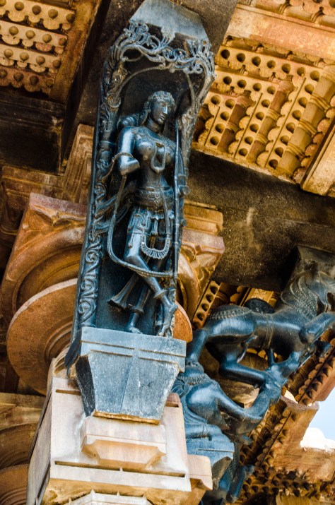

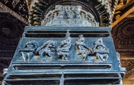
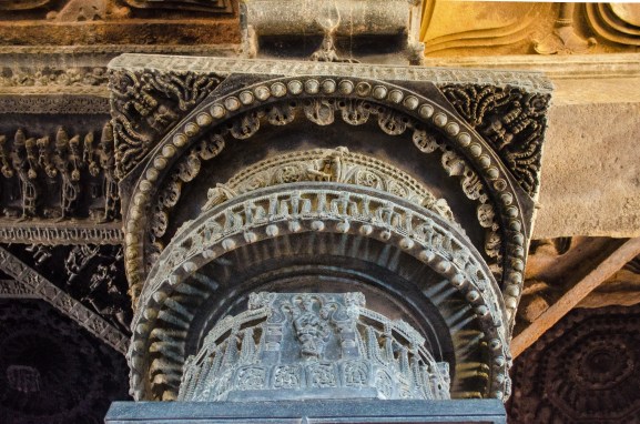
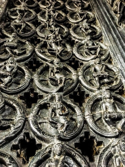

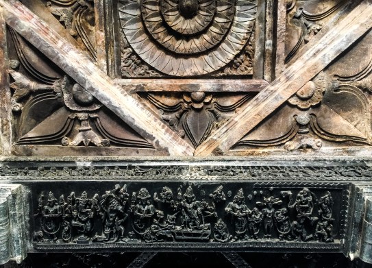
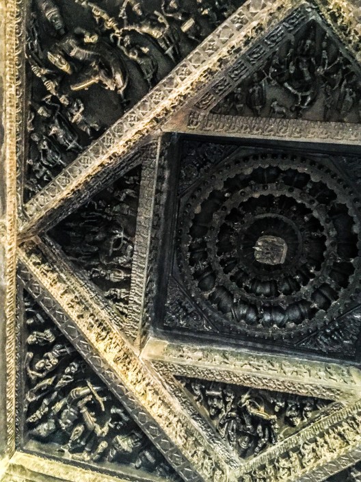
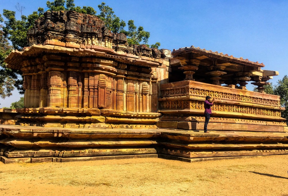

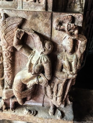


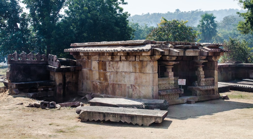


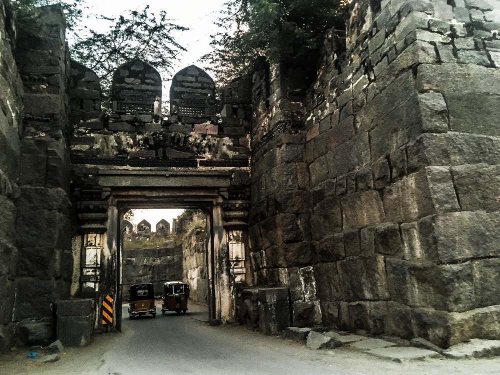


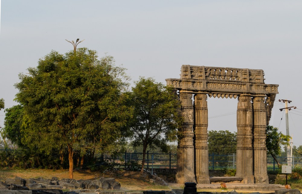
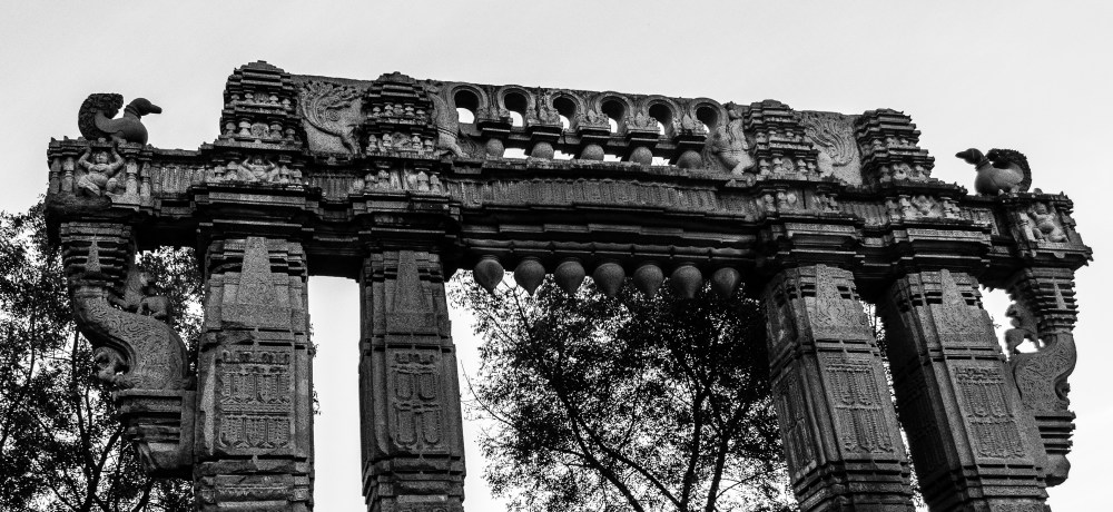

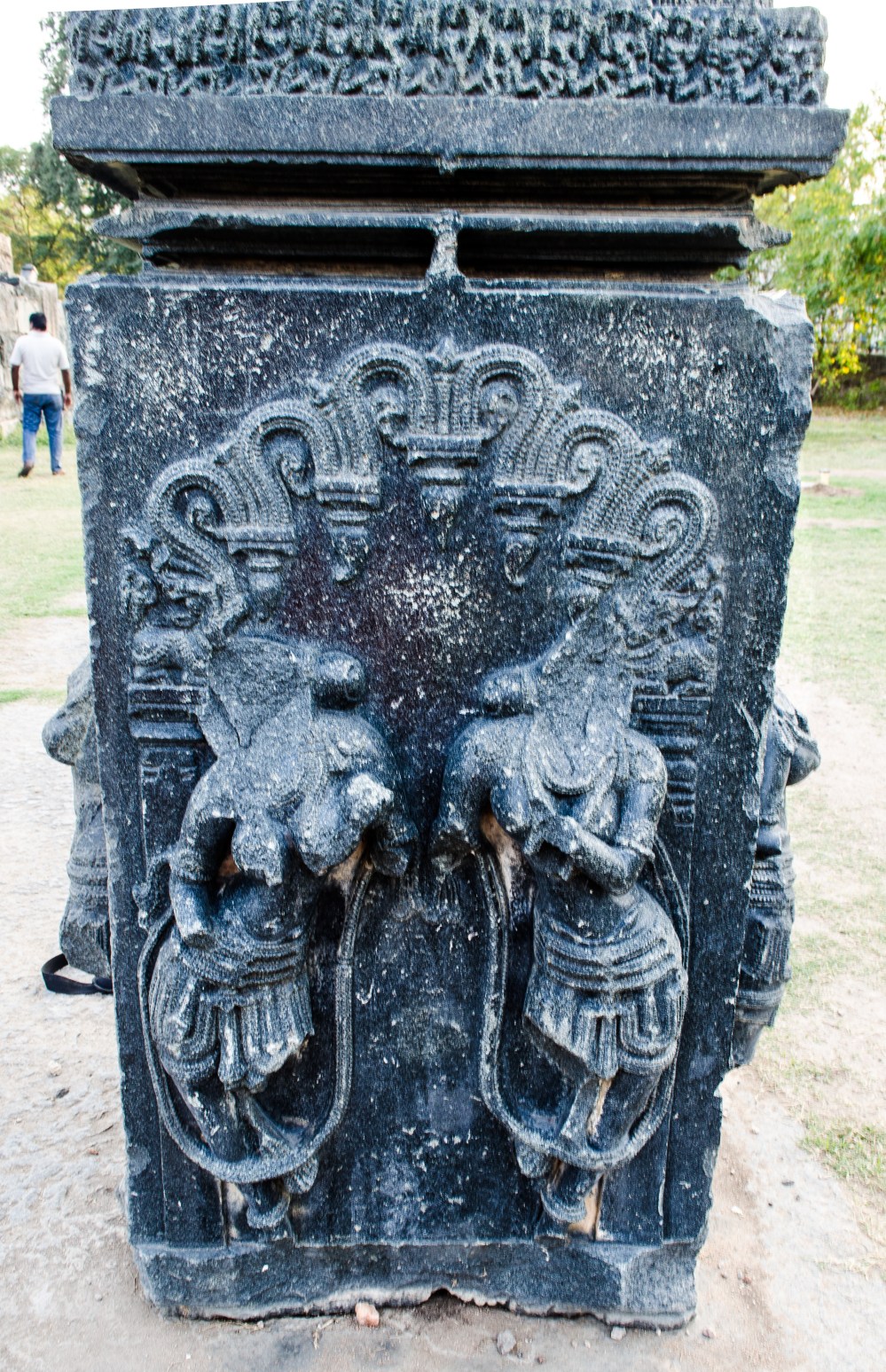


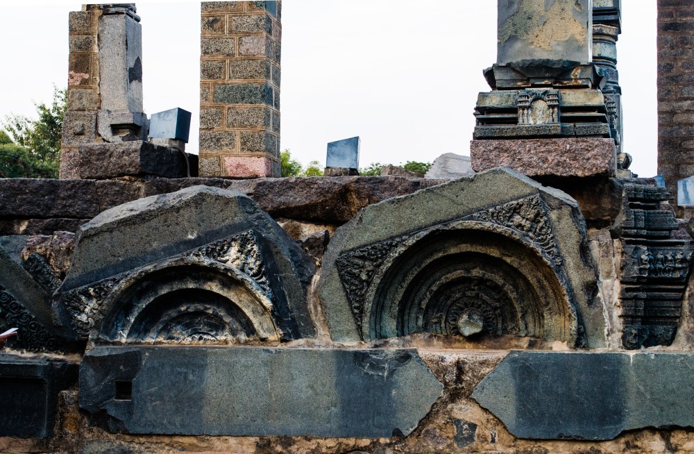

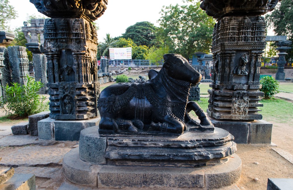

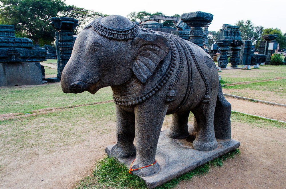


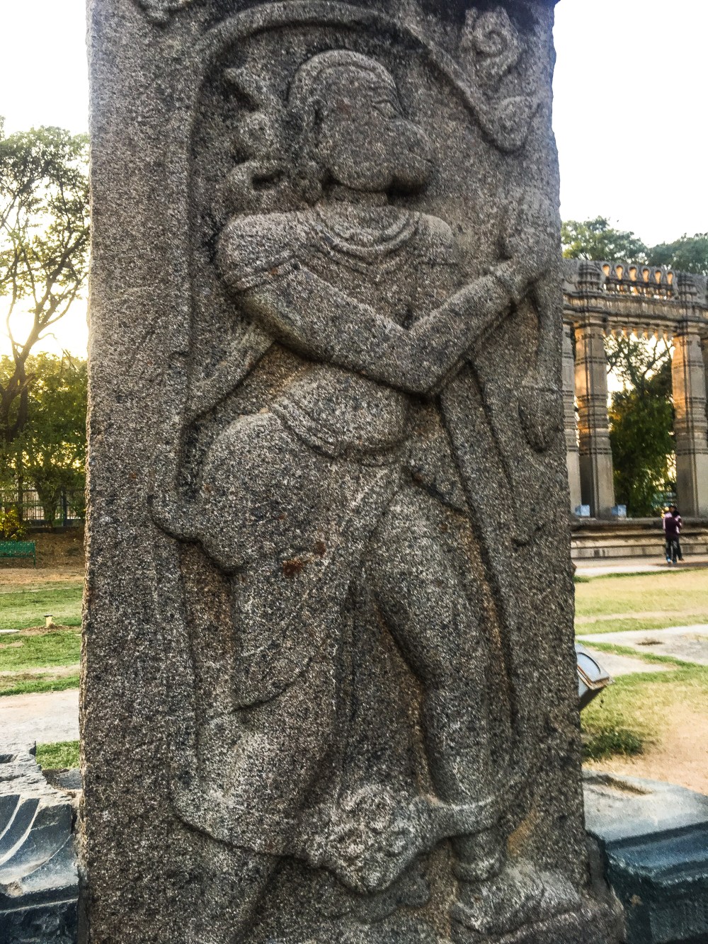


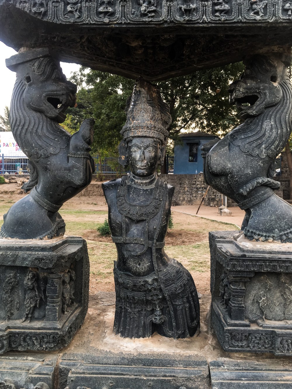


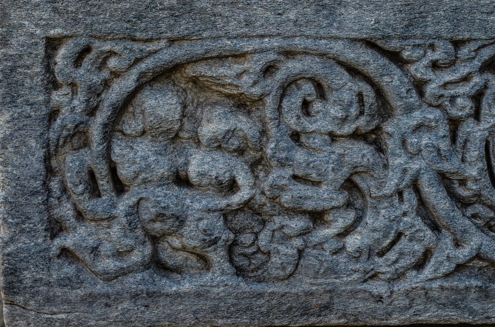
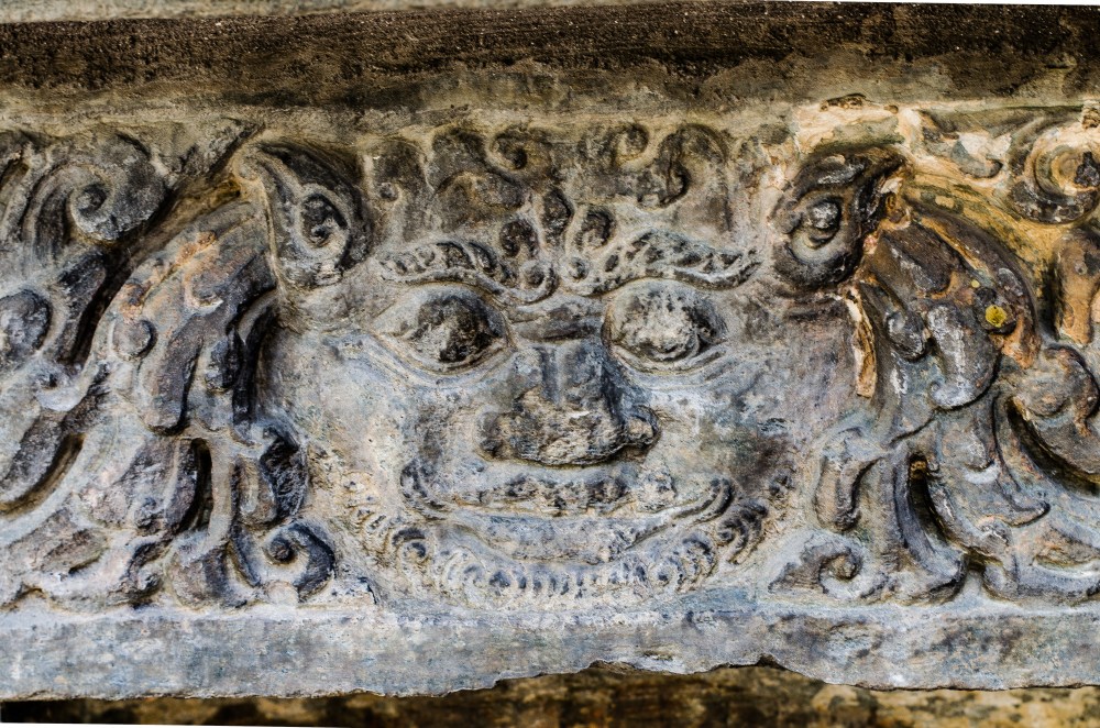

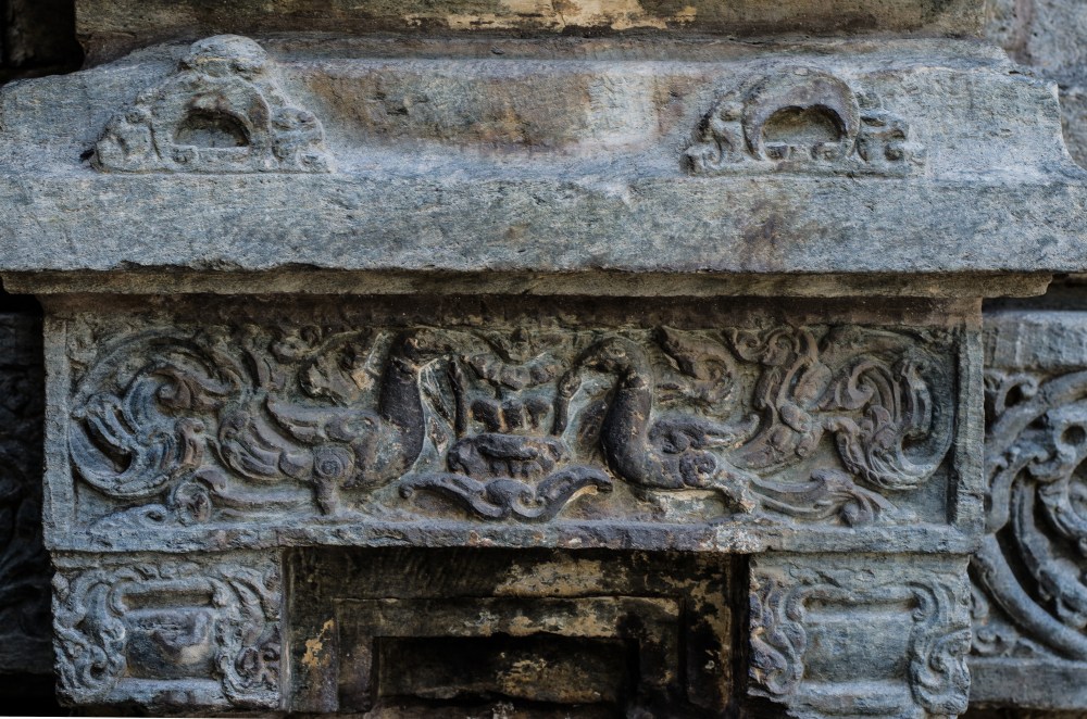
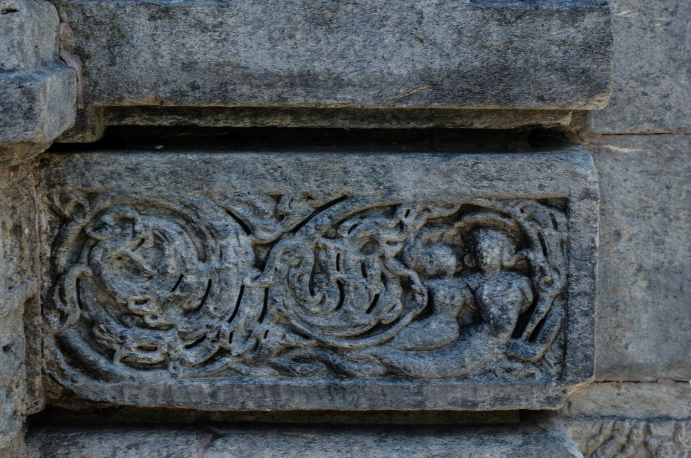


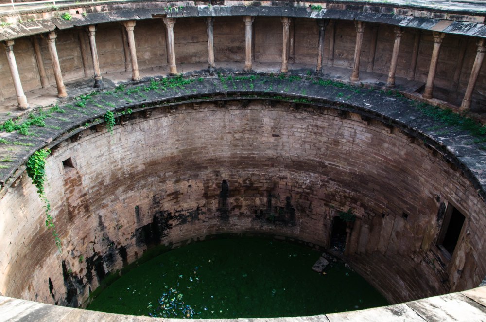
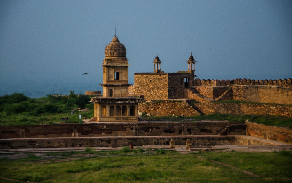


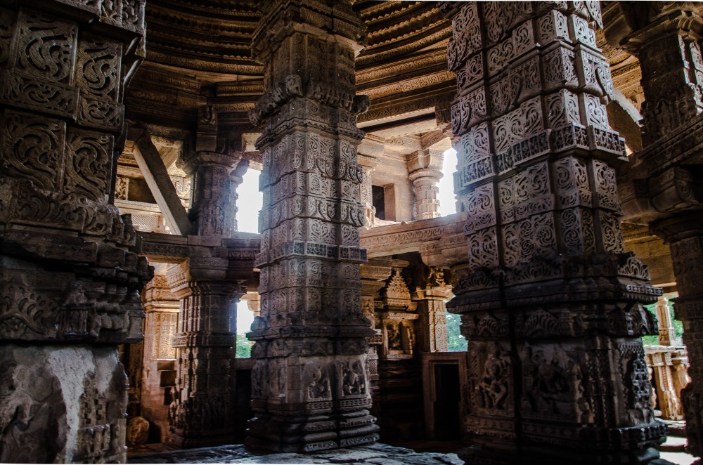


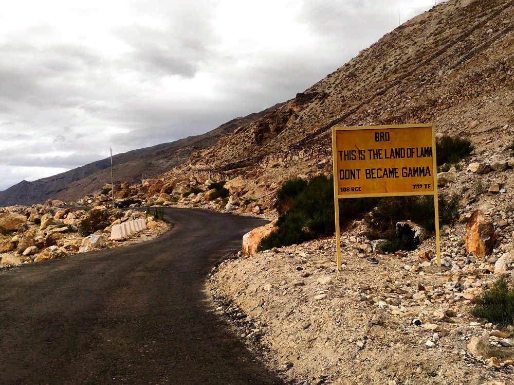
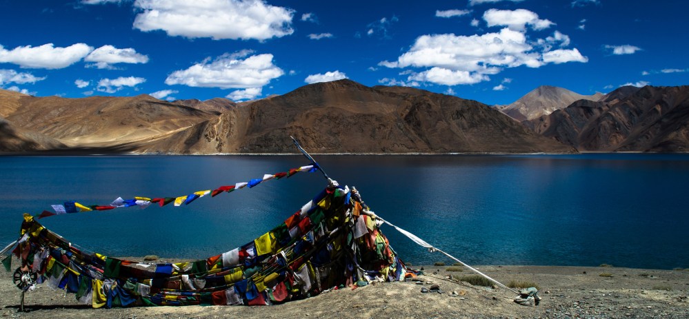

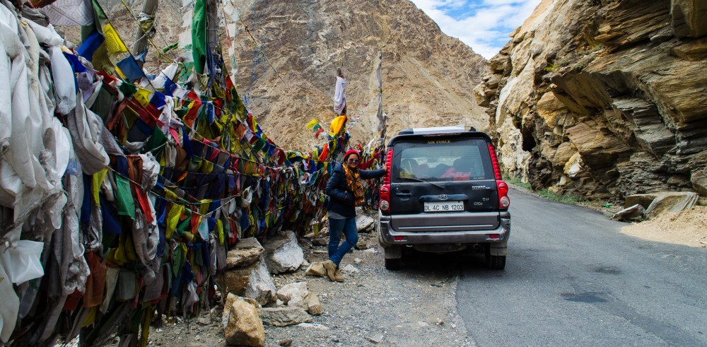
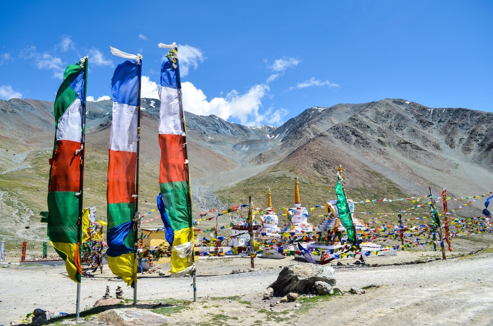
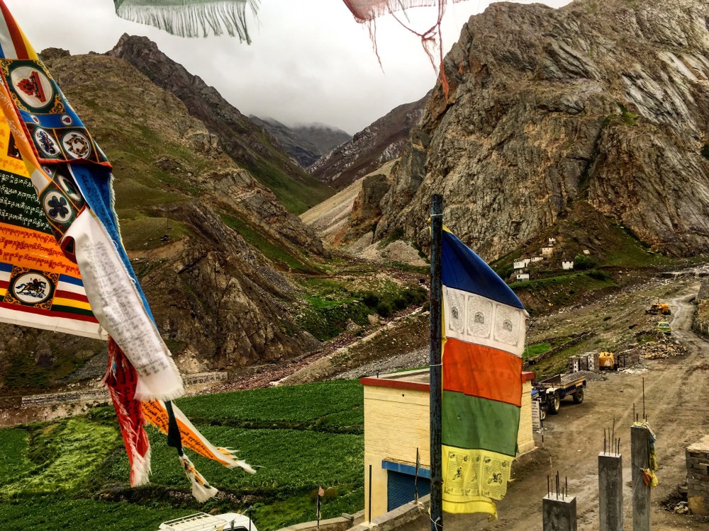

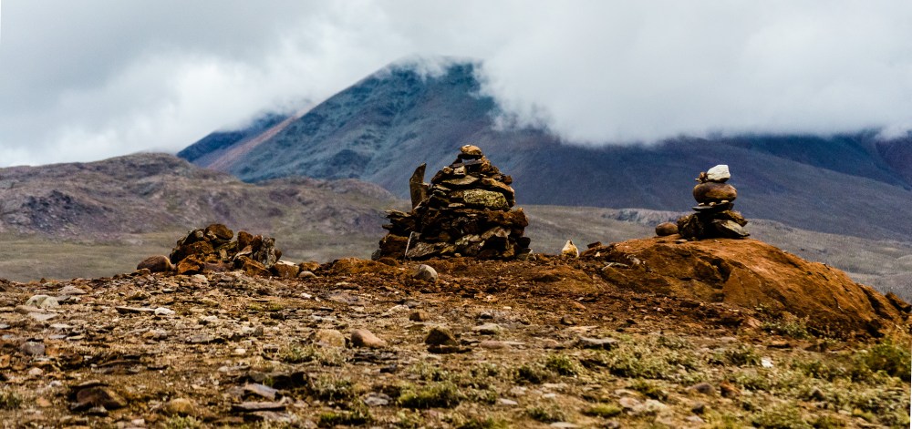
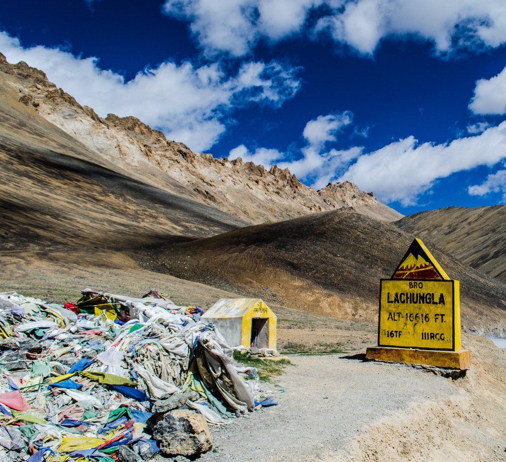
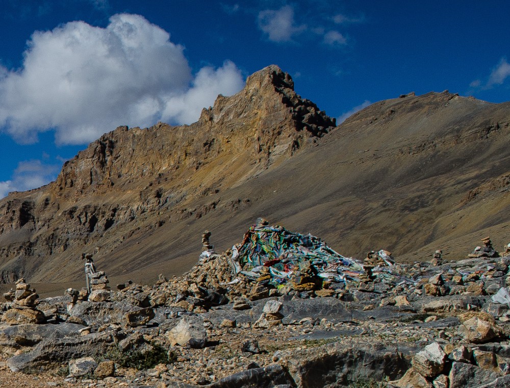
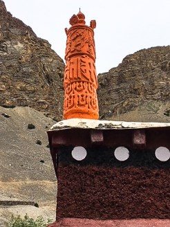

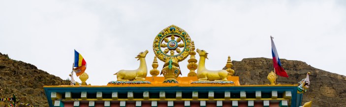
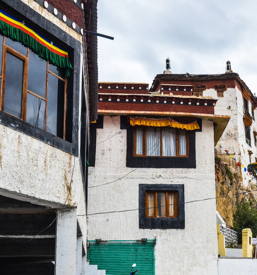
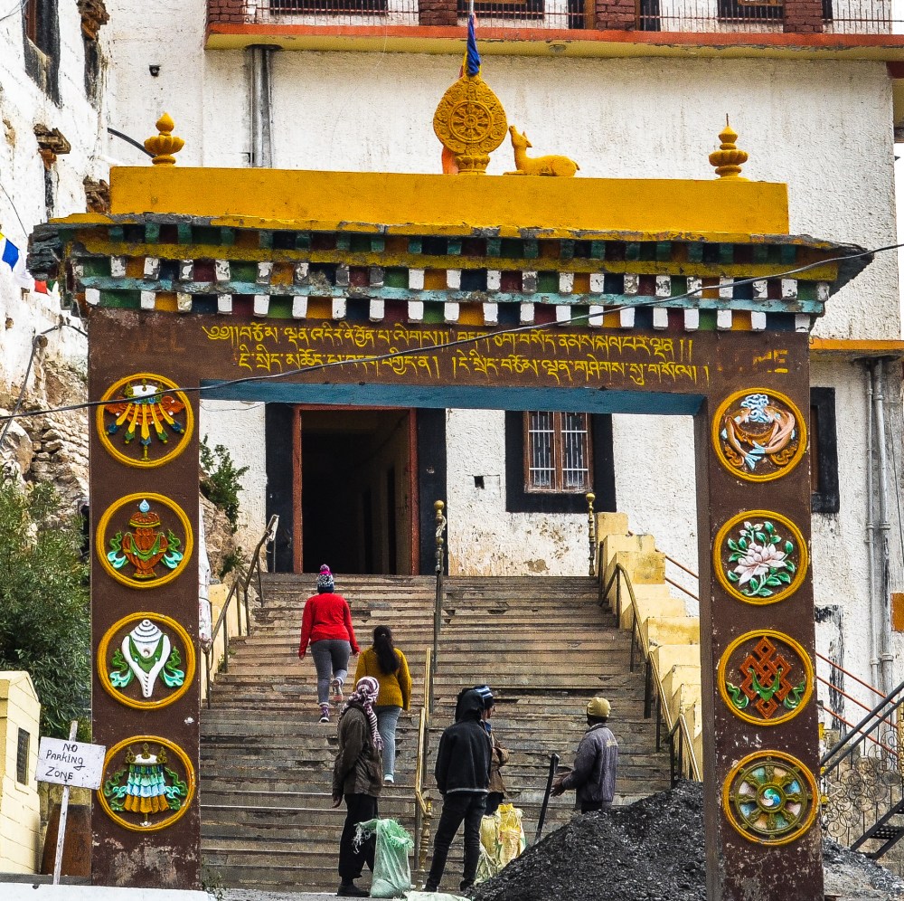
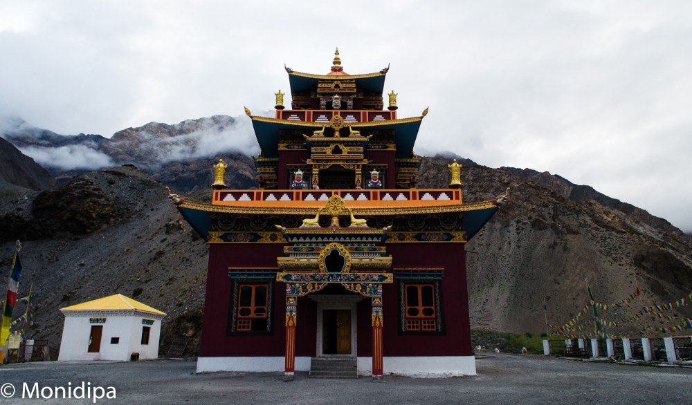
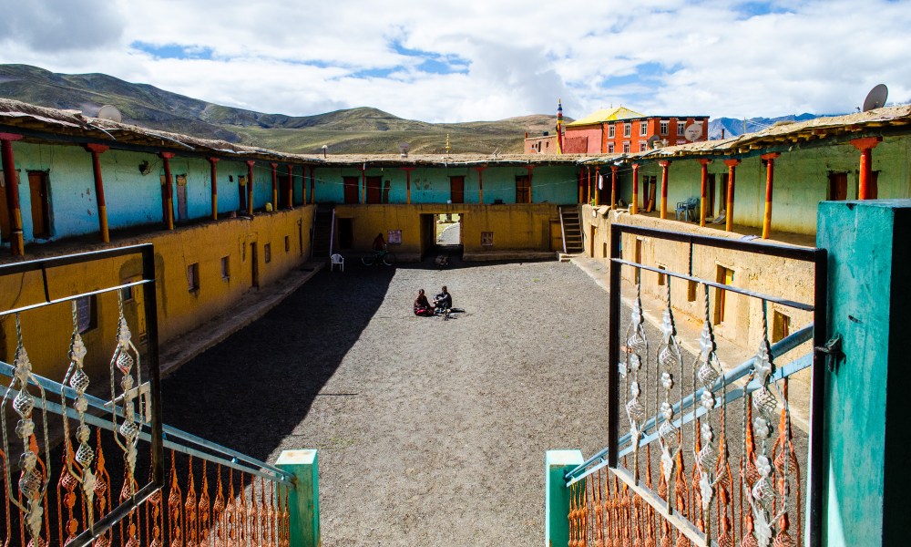
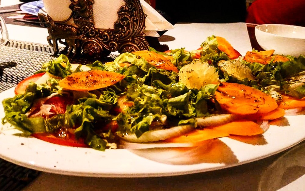
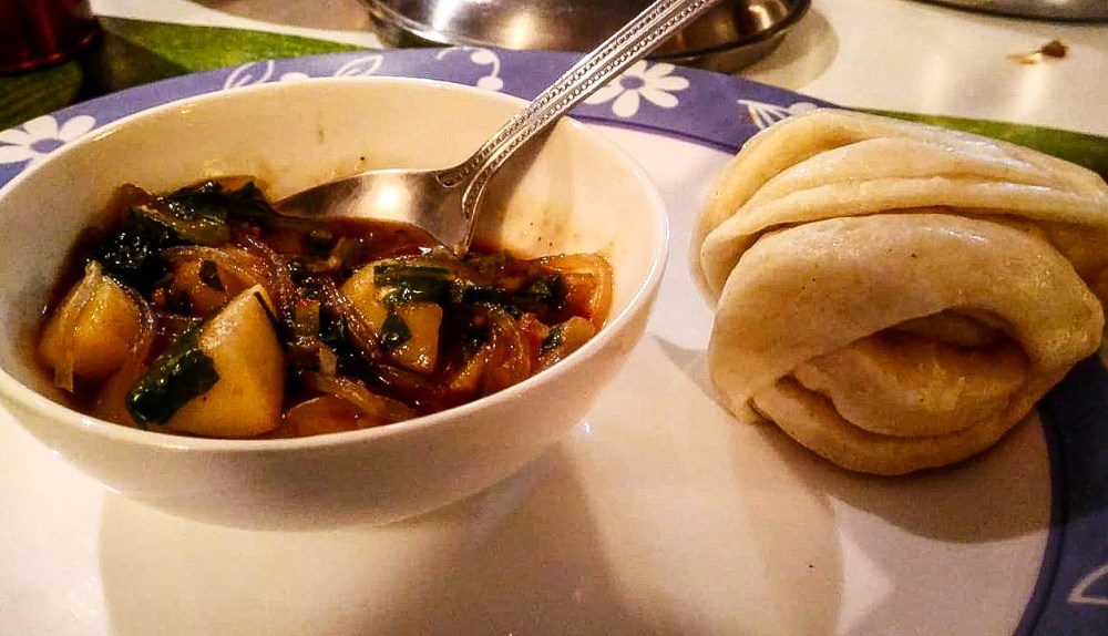
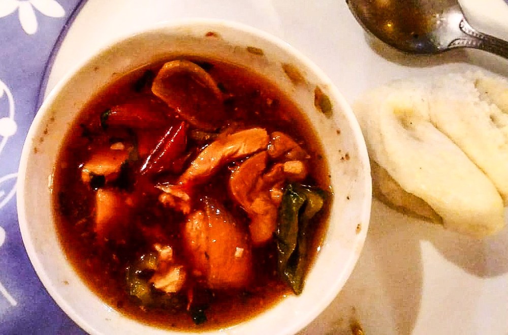
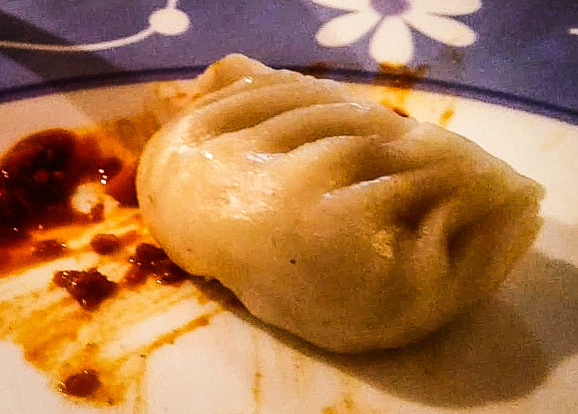
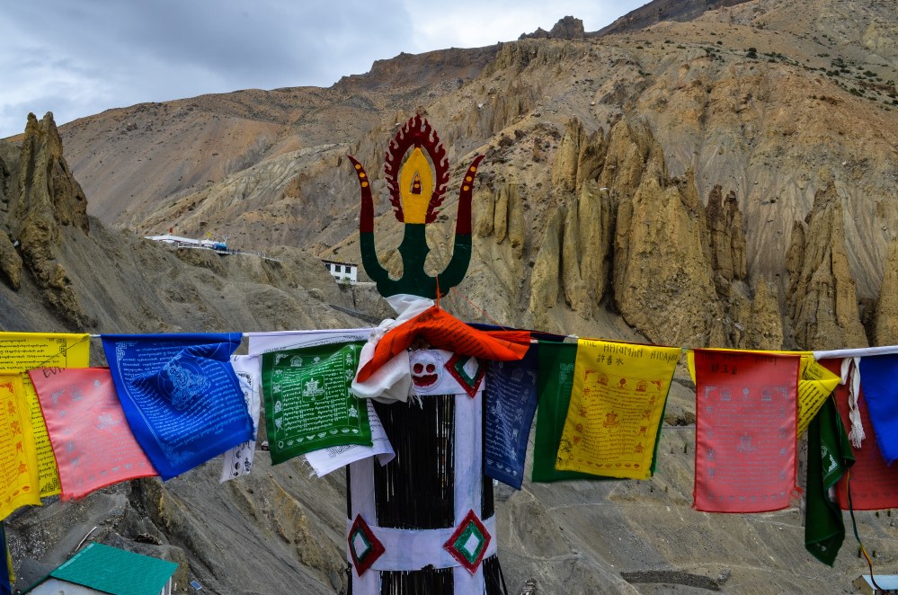
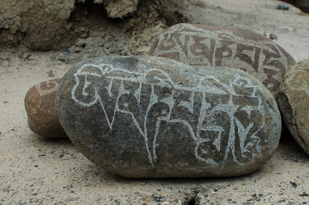


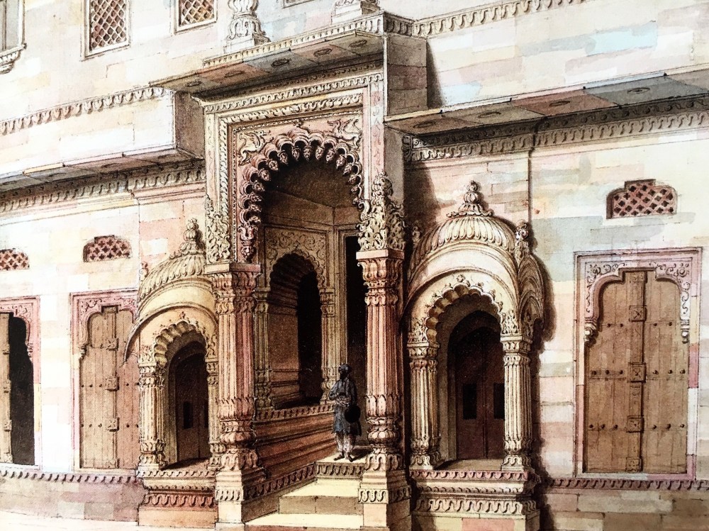
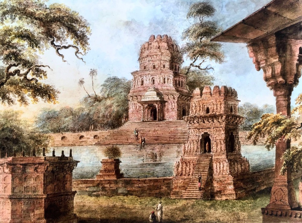
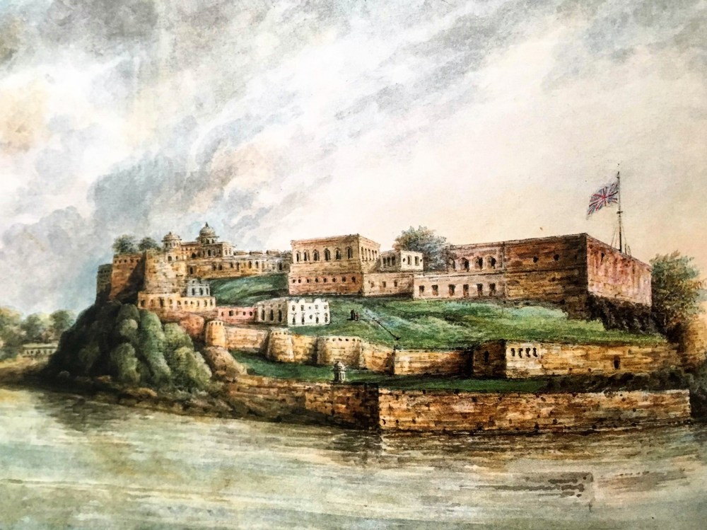

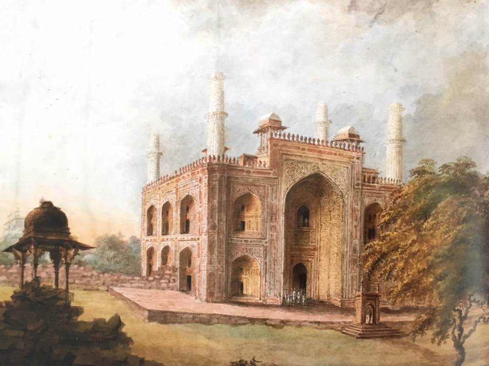
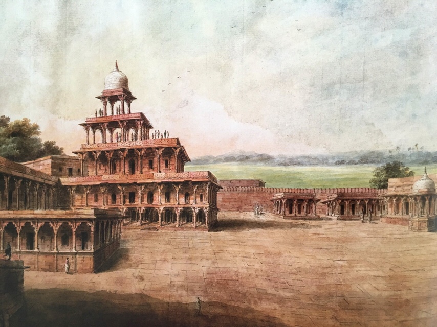
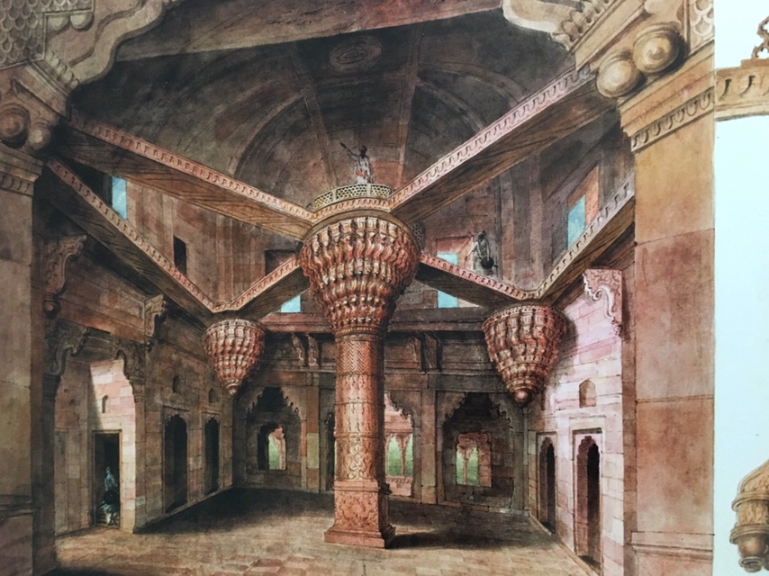
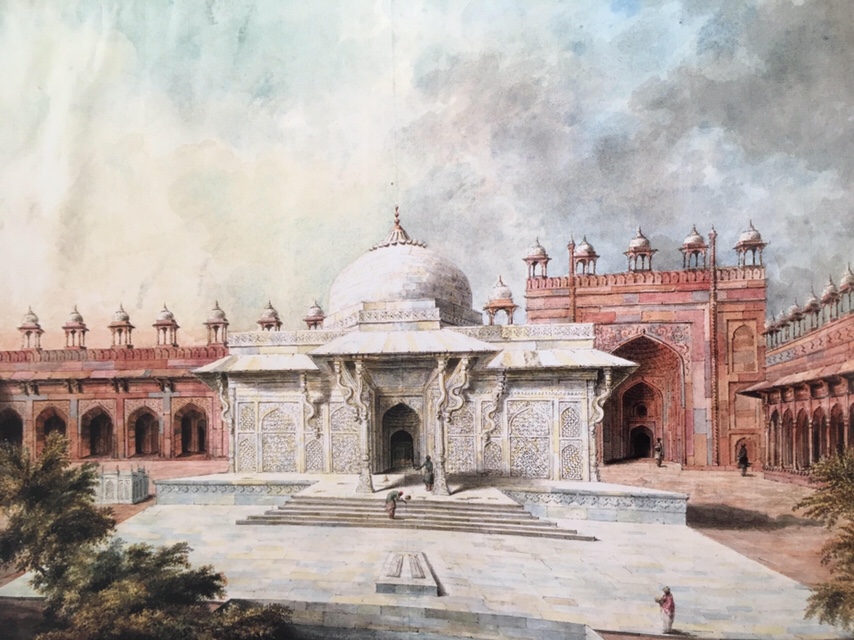
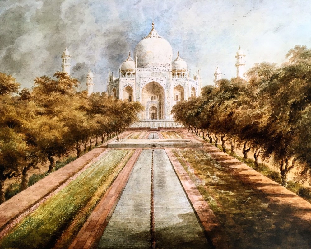
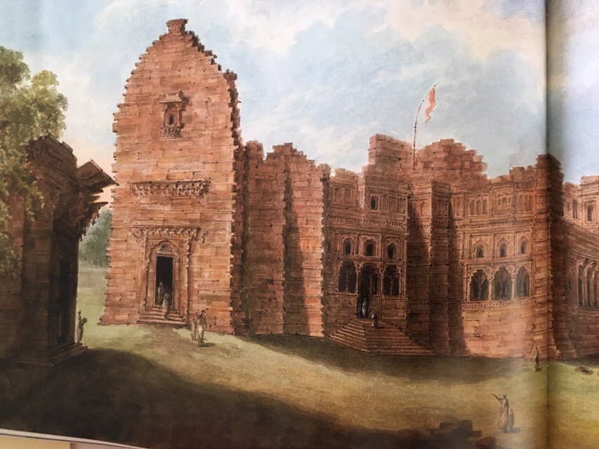
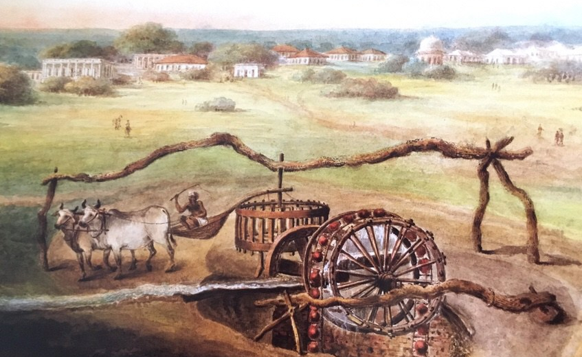
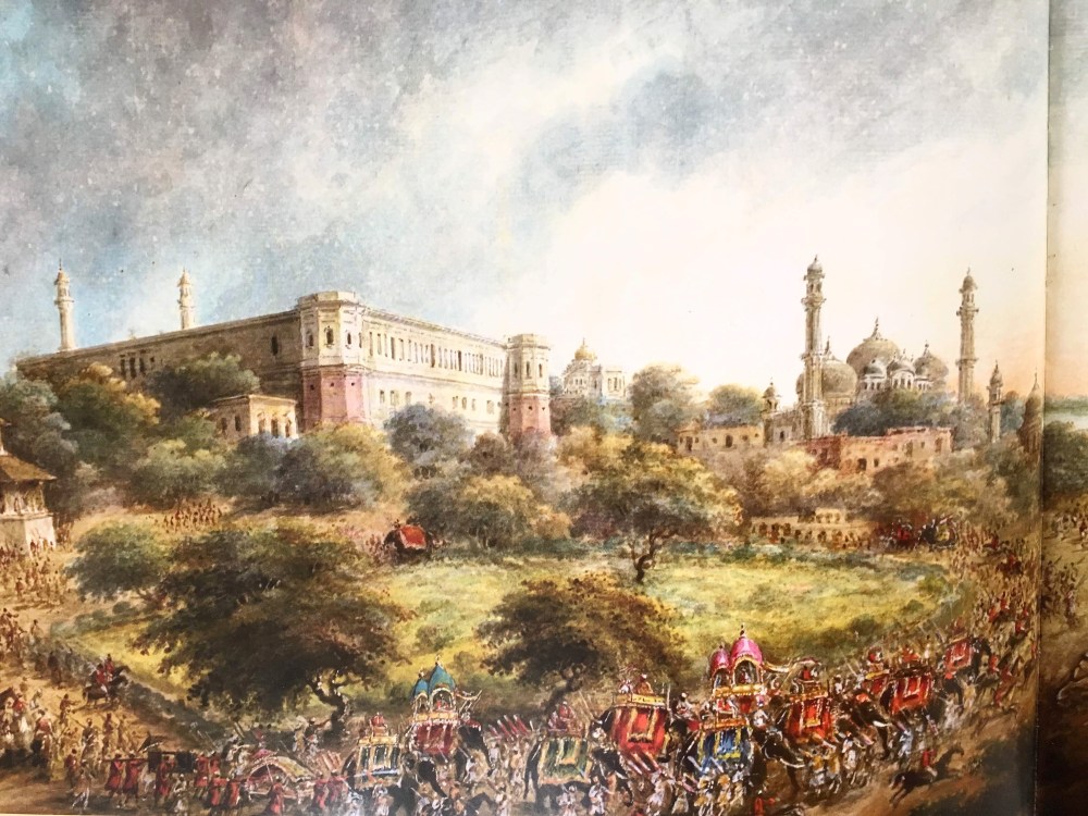
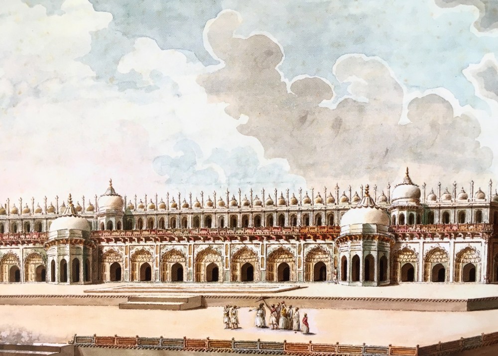


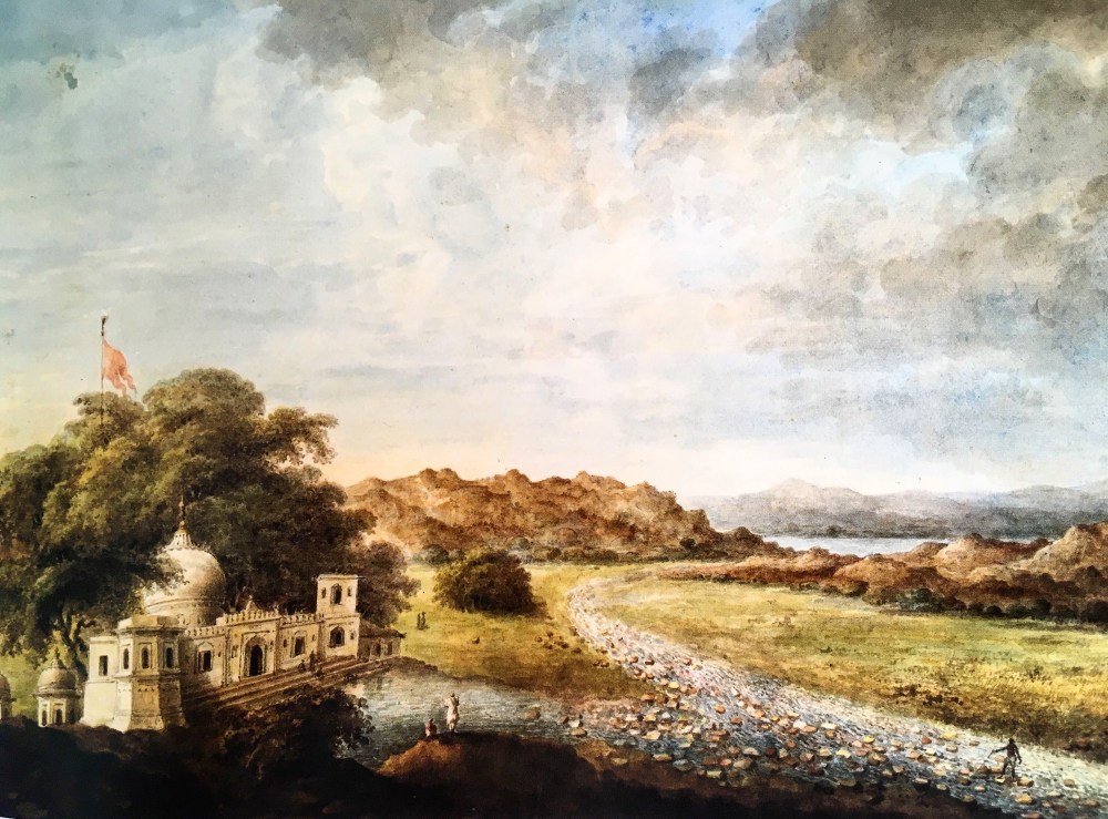

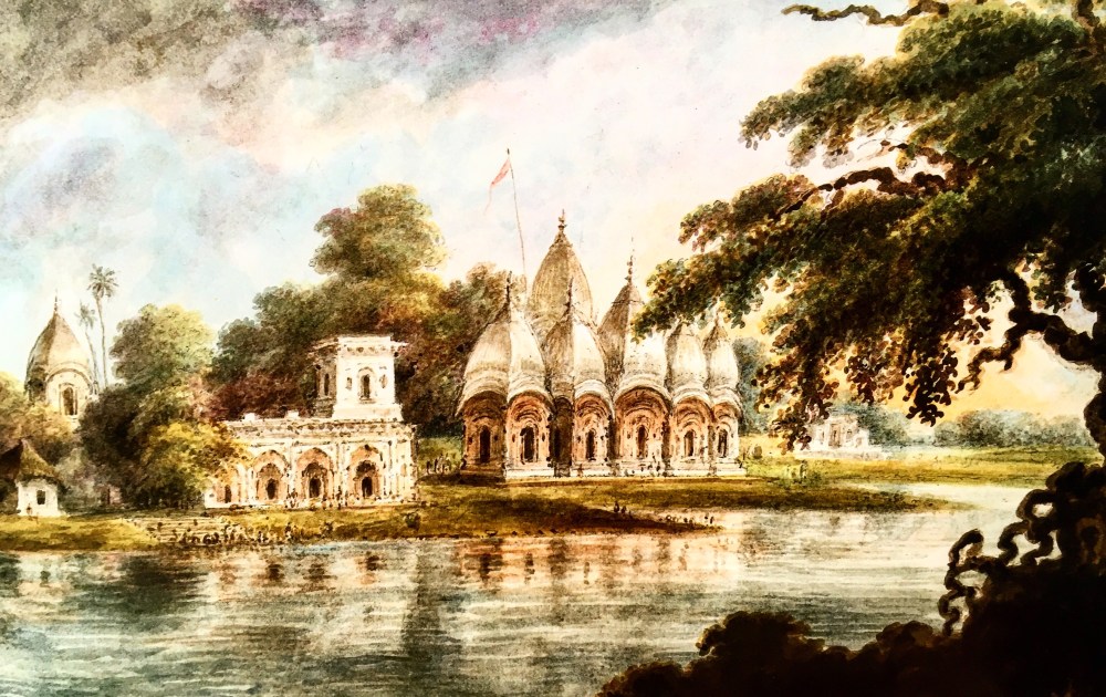
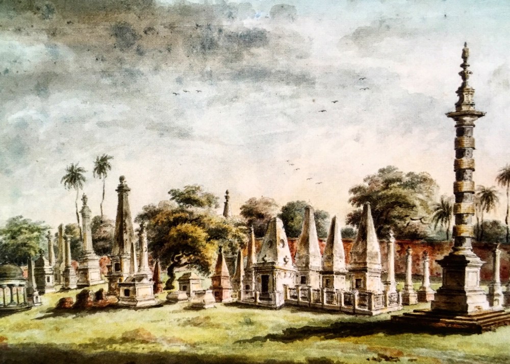
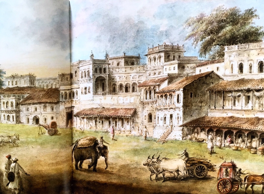
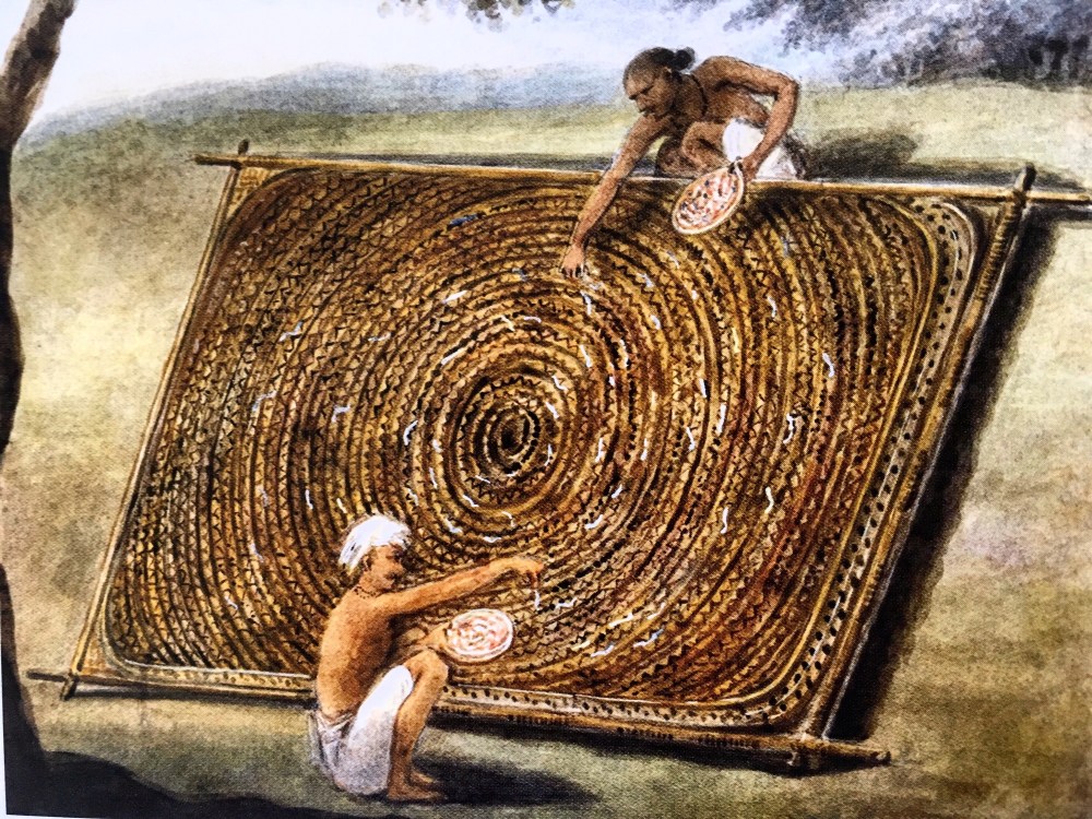
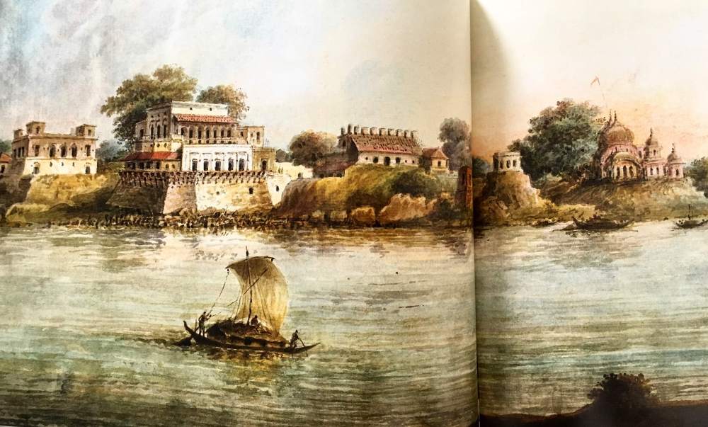
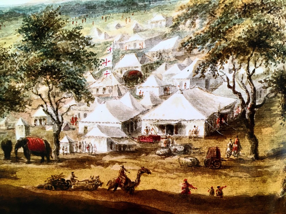
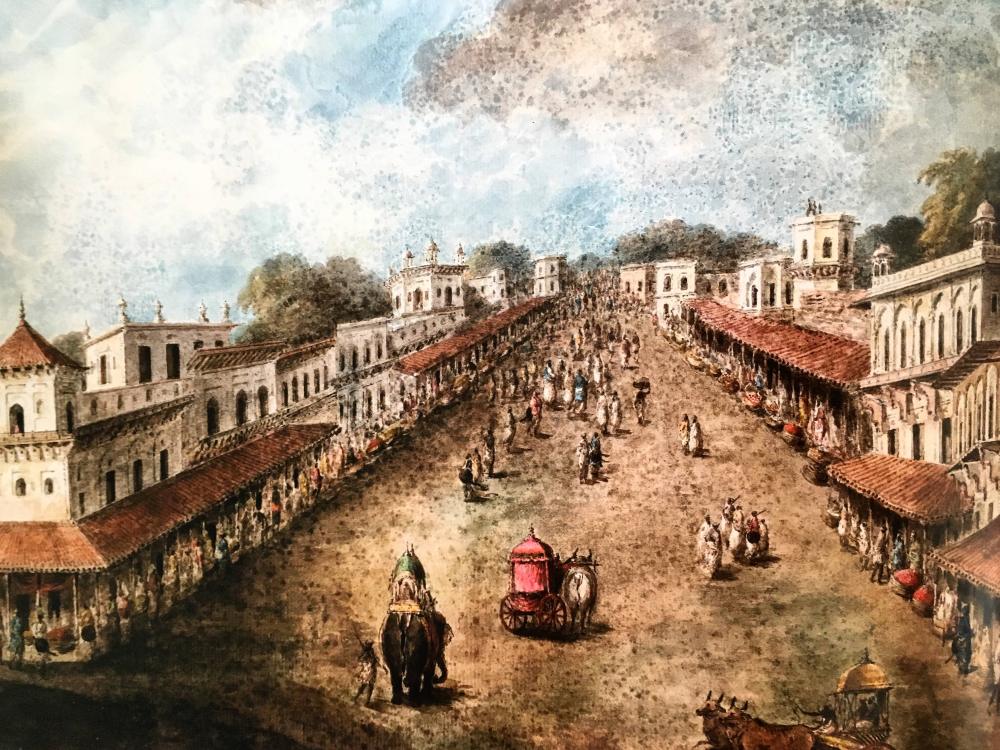
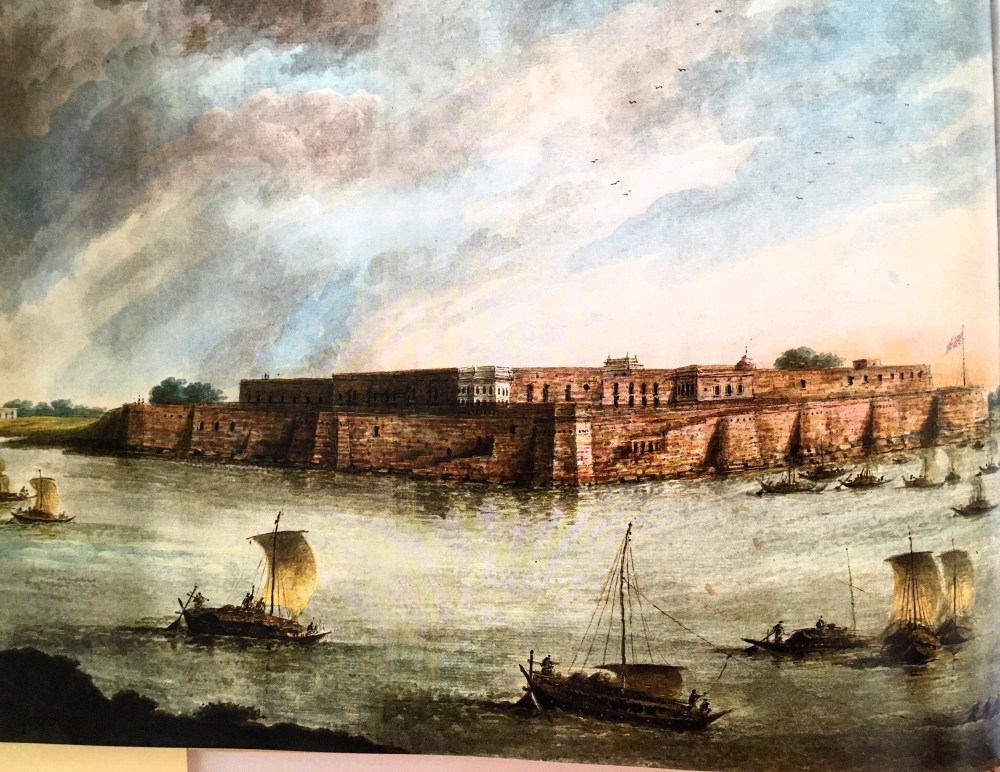
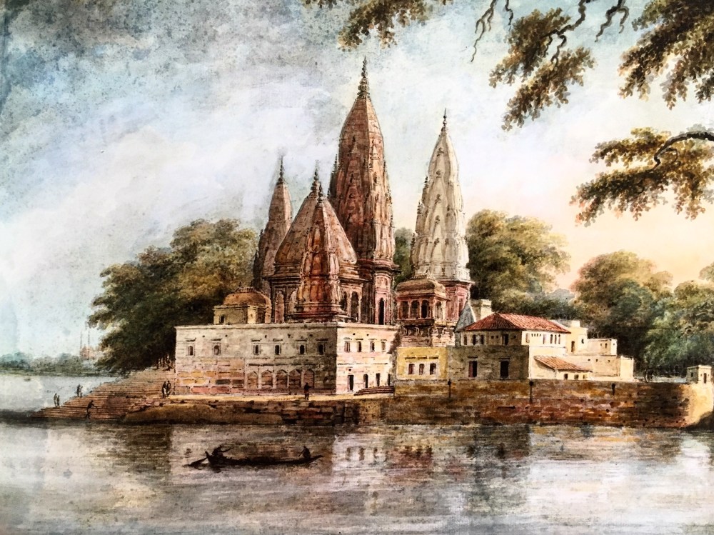
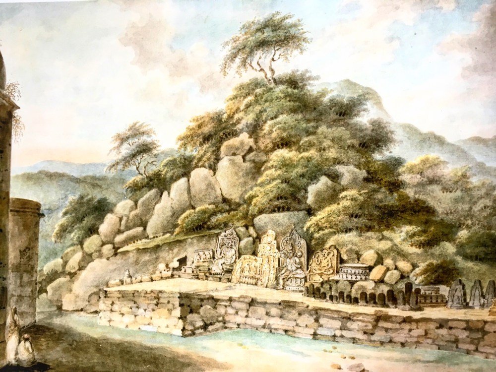
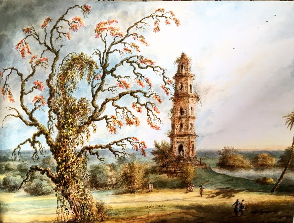

artists finally receiving their due places in the hall of fame. The second feeling was of contemplation, wondering how the two brothers despite their brilliance remained in the shadows, while their uncle Rabindranath Tagore shone like the sun. Was this the disadvantage of having a contemporary famous figure within the same family? Perhaps Yes; but then the two brothers, especially Gaganendranath, was of a shy disposition and an unassuming bhodrolok, who never really courted fame. In our country, the flighty goddess of fame is often kinder to those who can hard-sell themselves. Gaganendranath Tagore definitely wasn’t one among them.


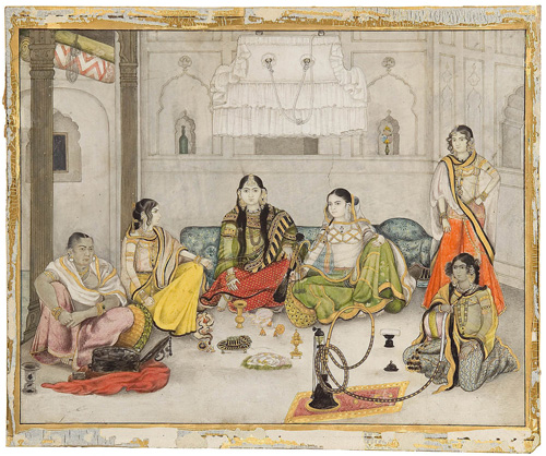


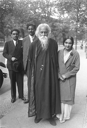


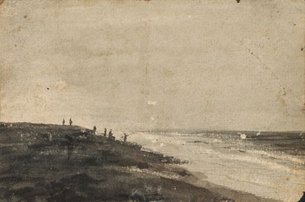


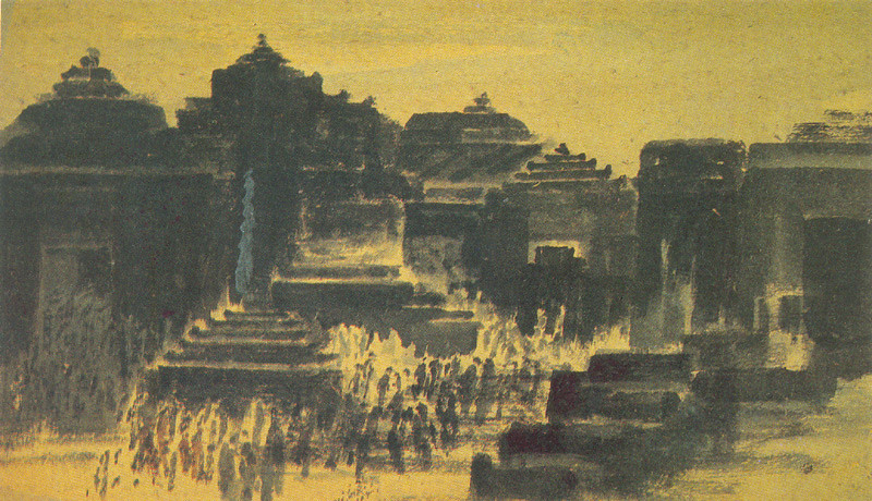


.jpg)

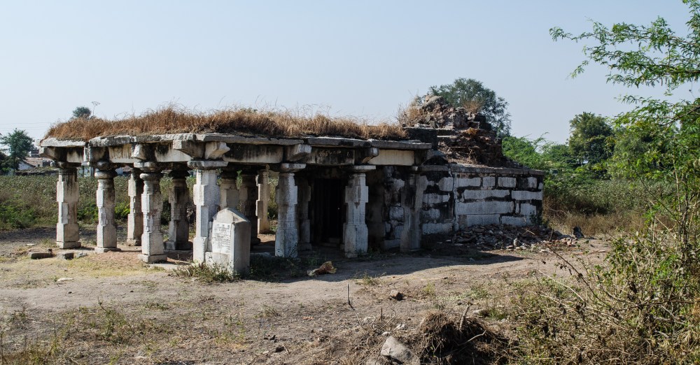

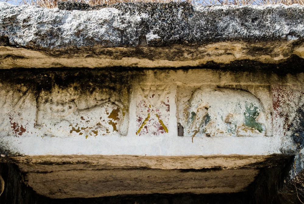
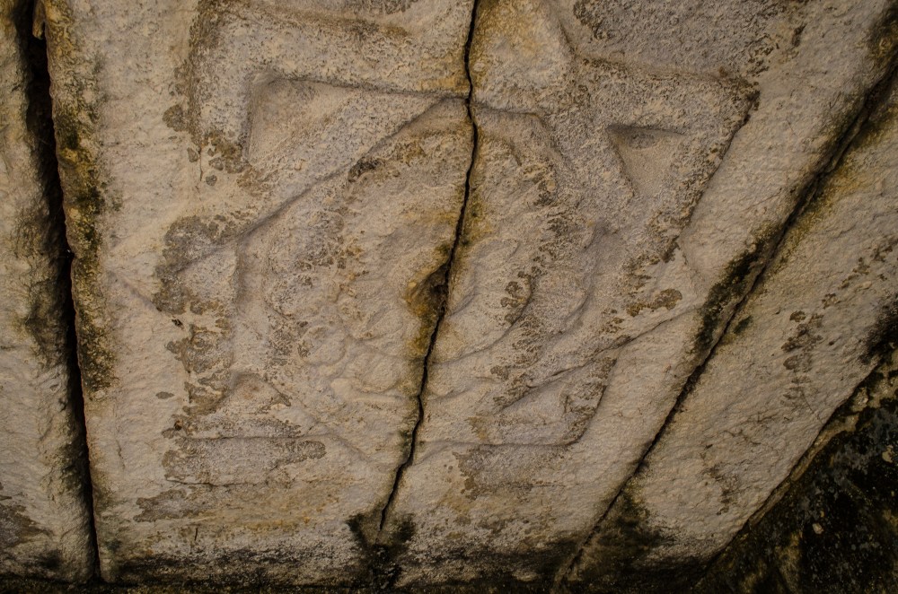


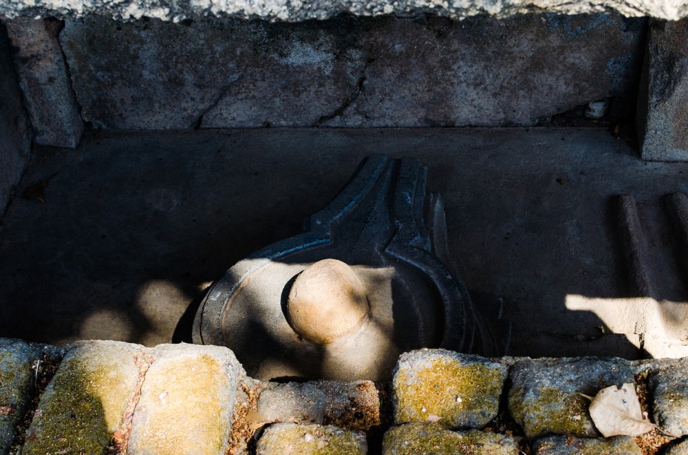
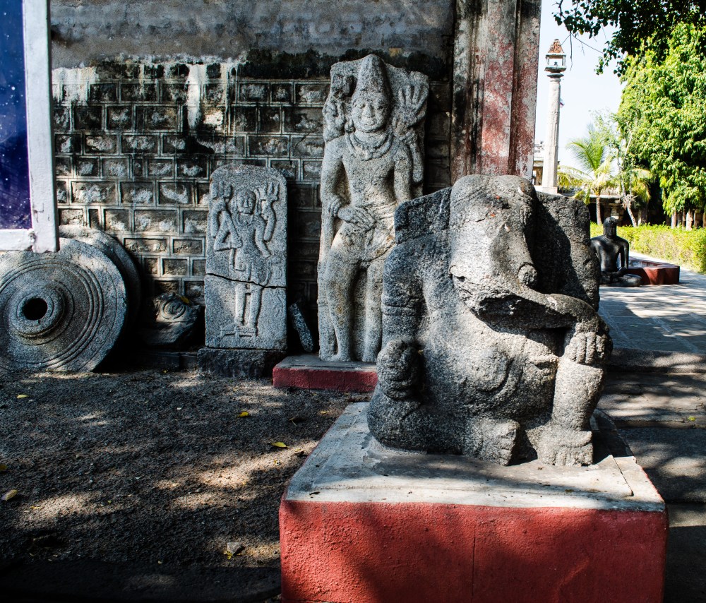

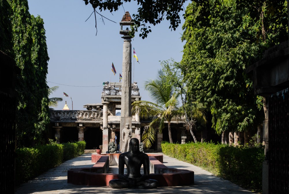


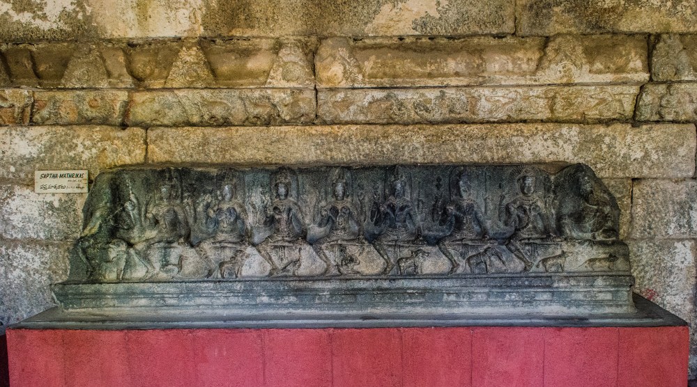
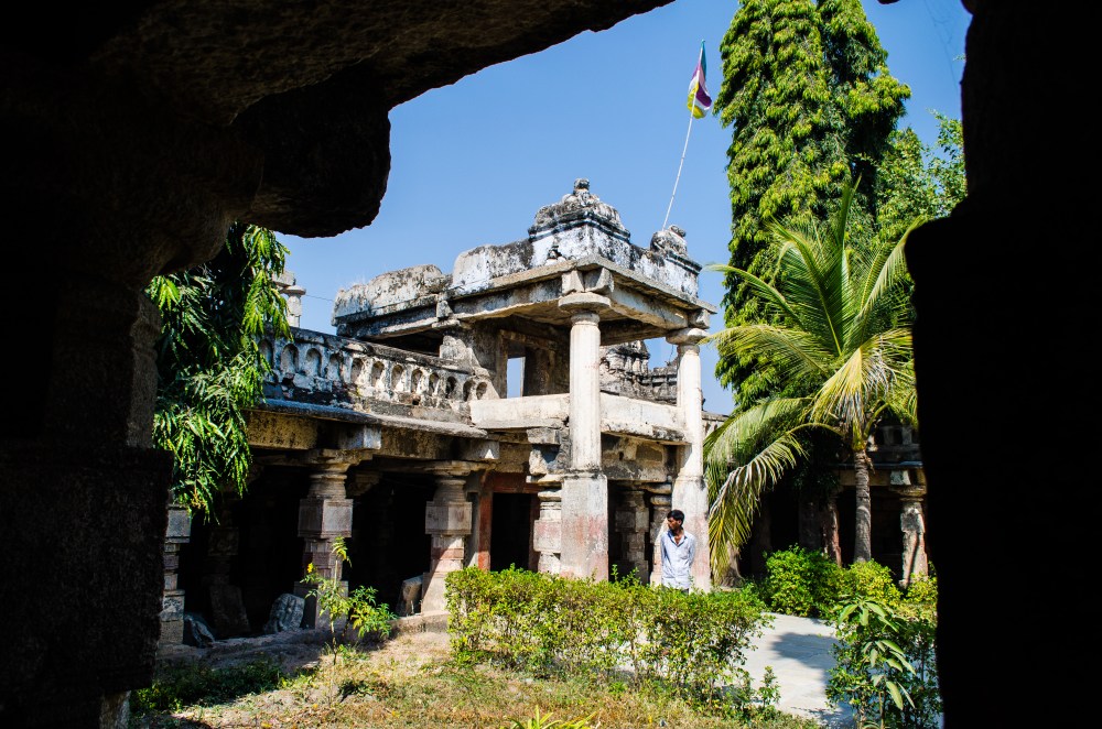

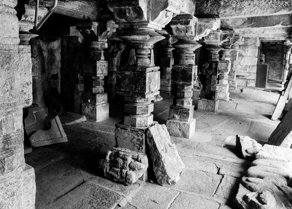
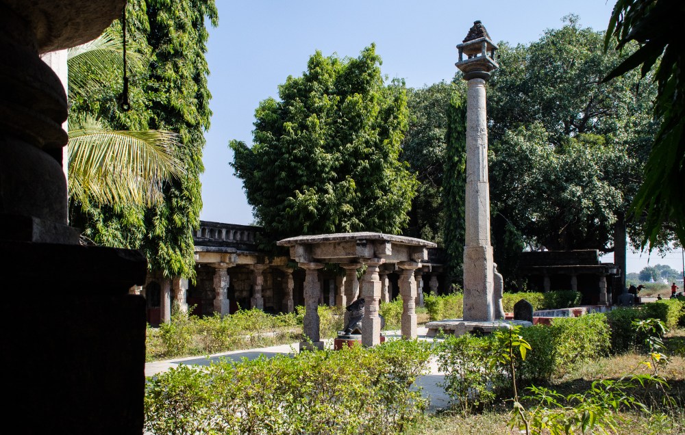
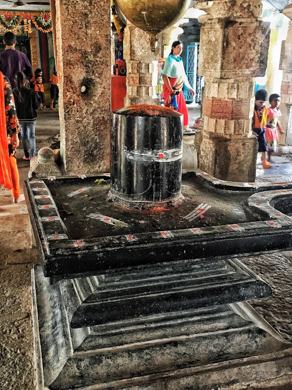

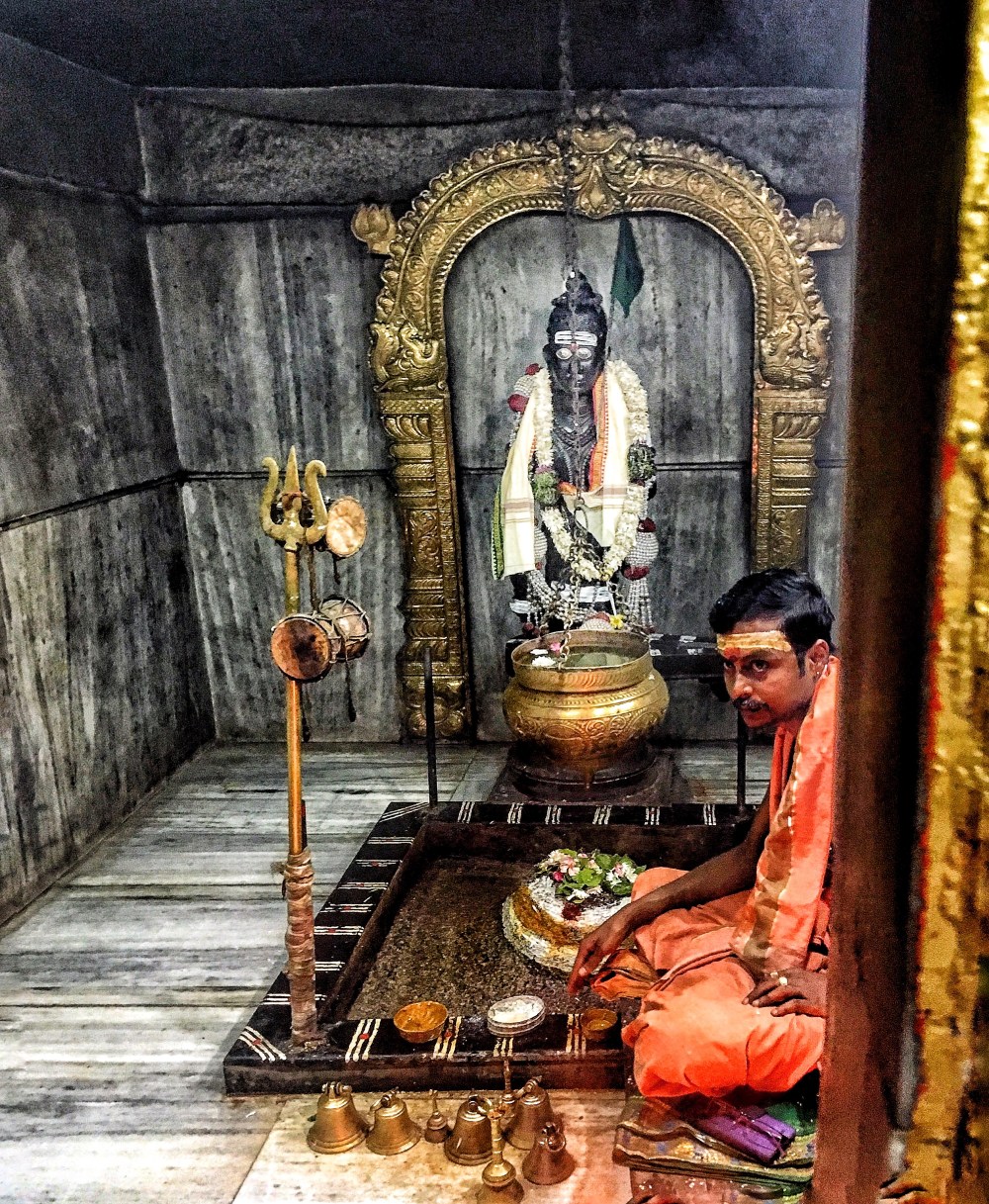


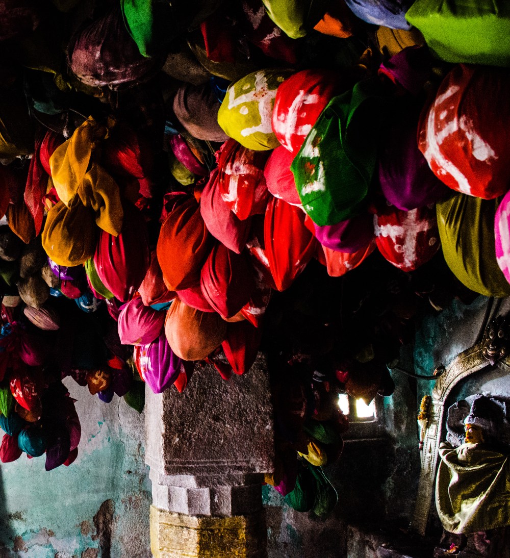


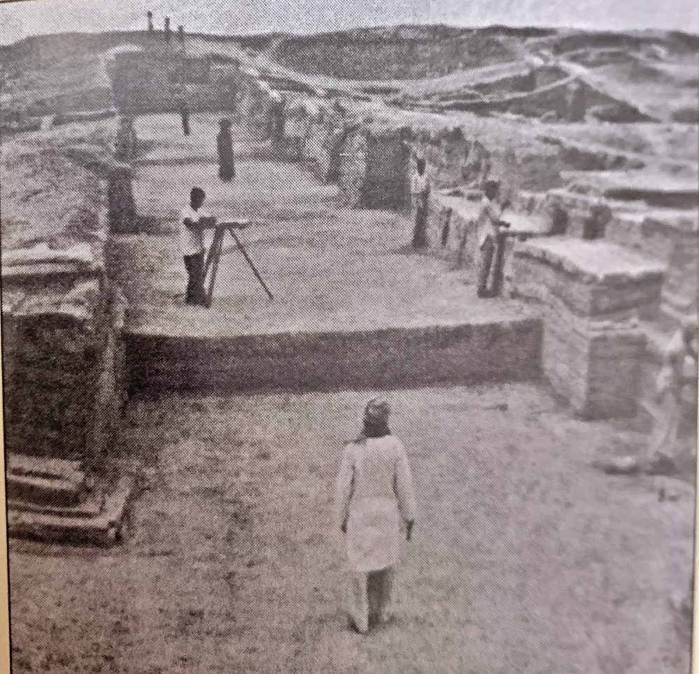


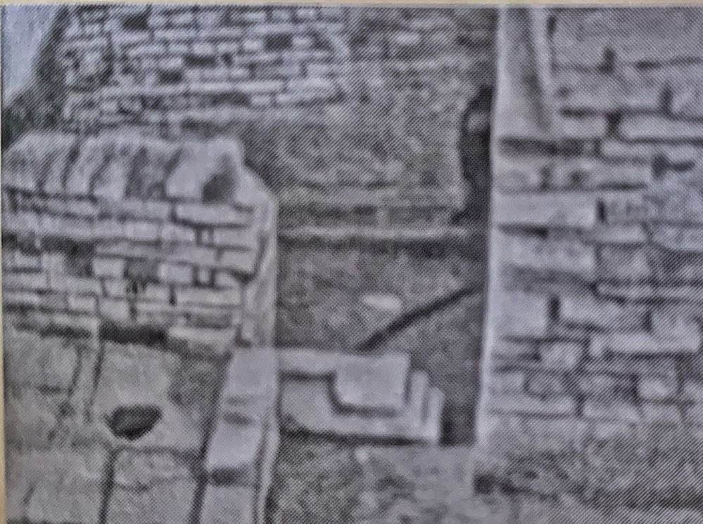
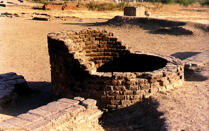

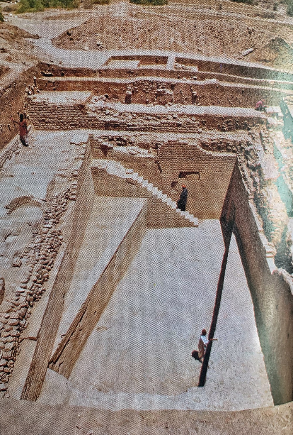
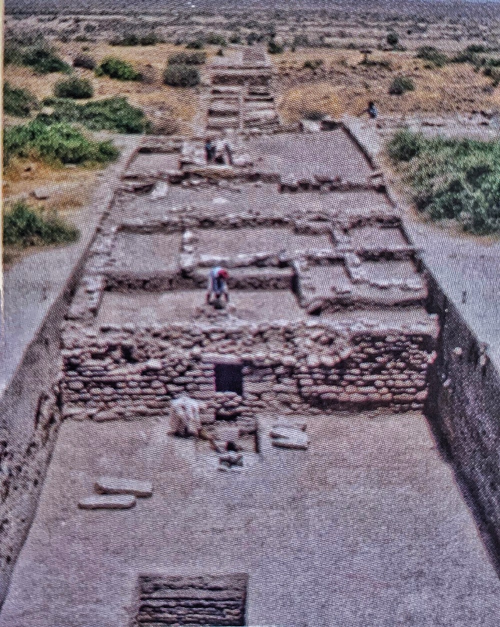
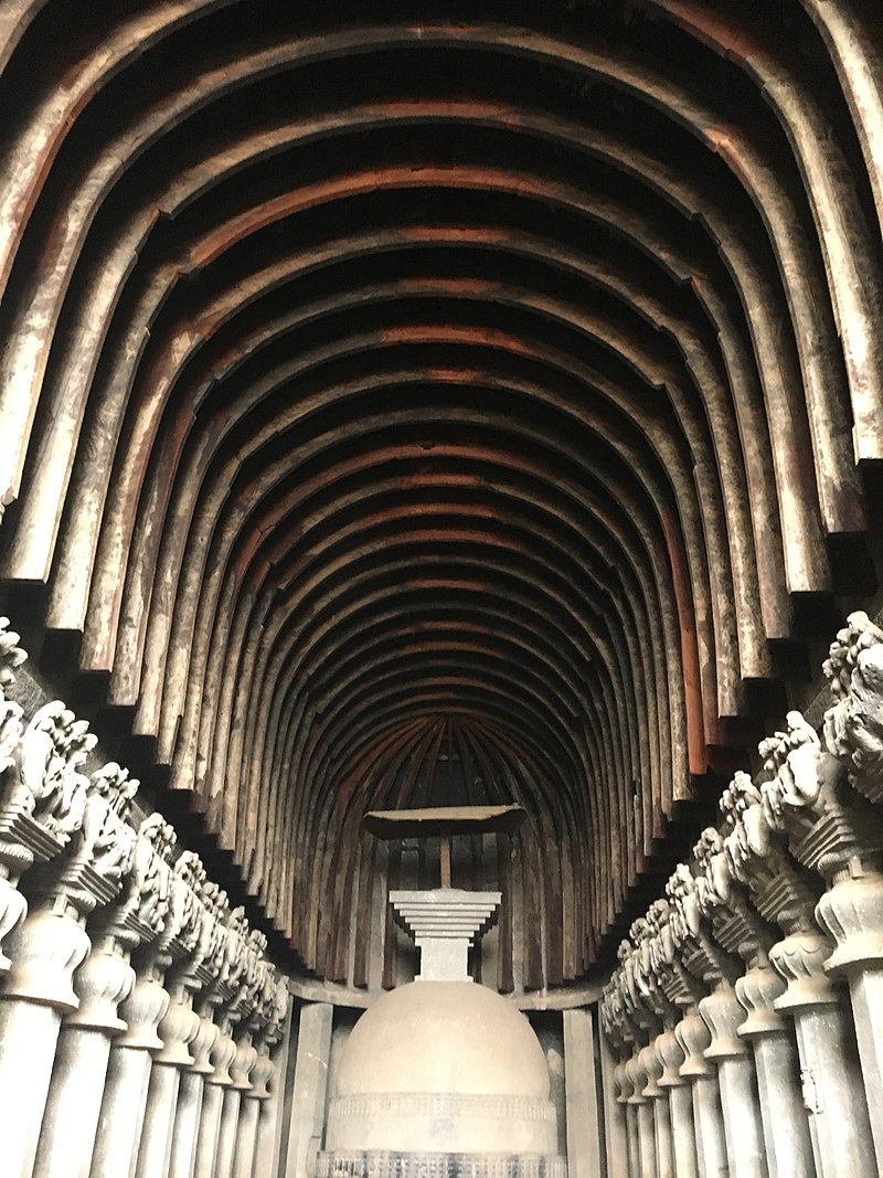


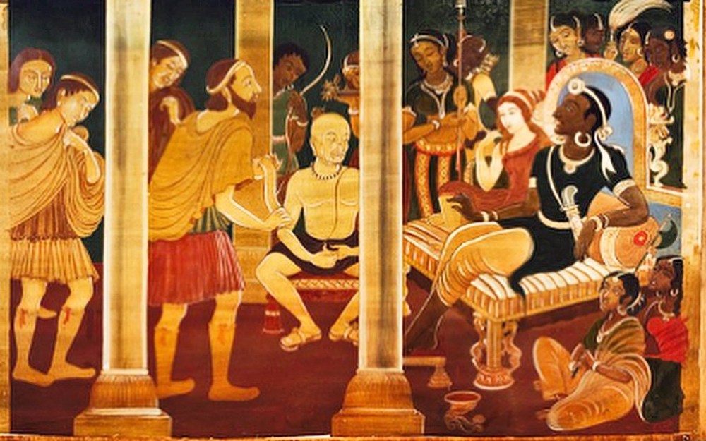
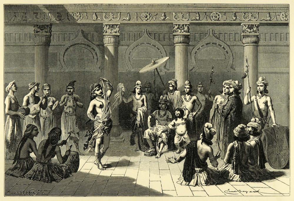
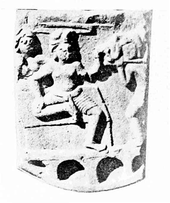
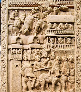


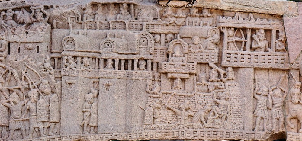
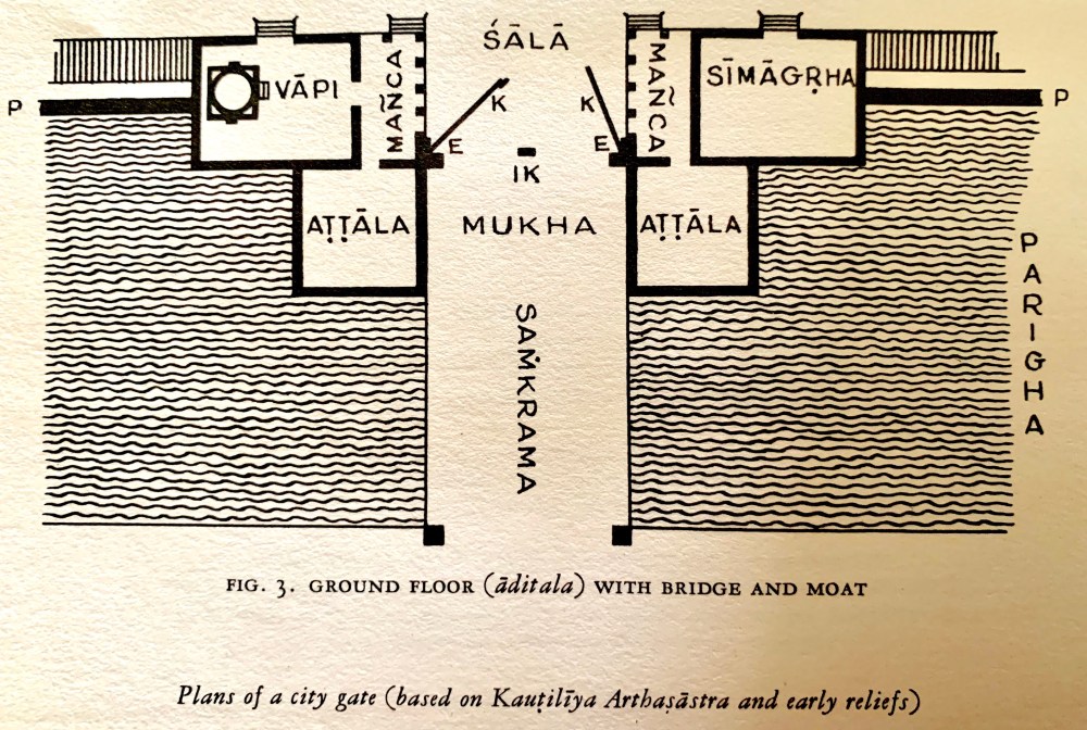

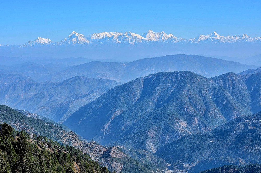
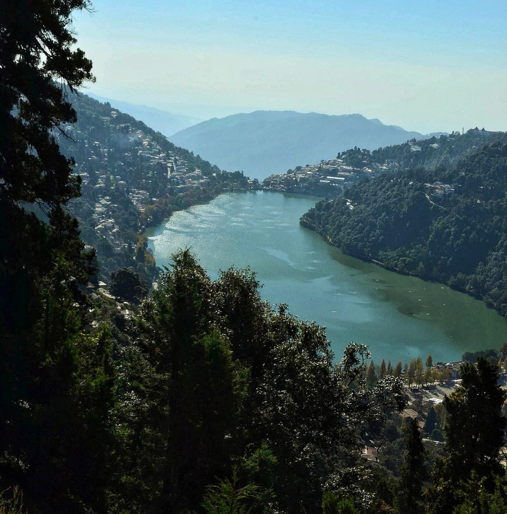
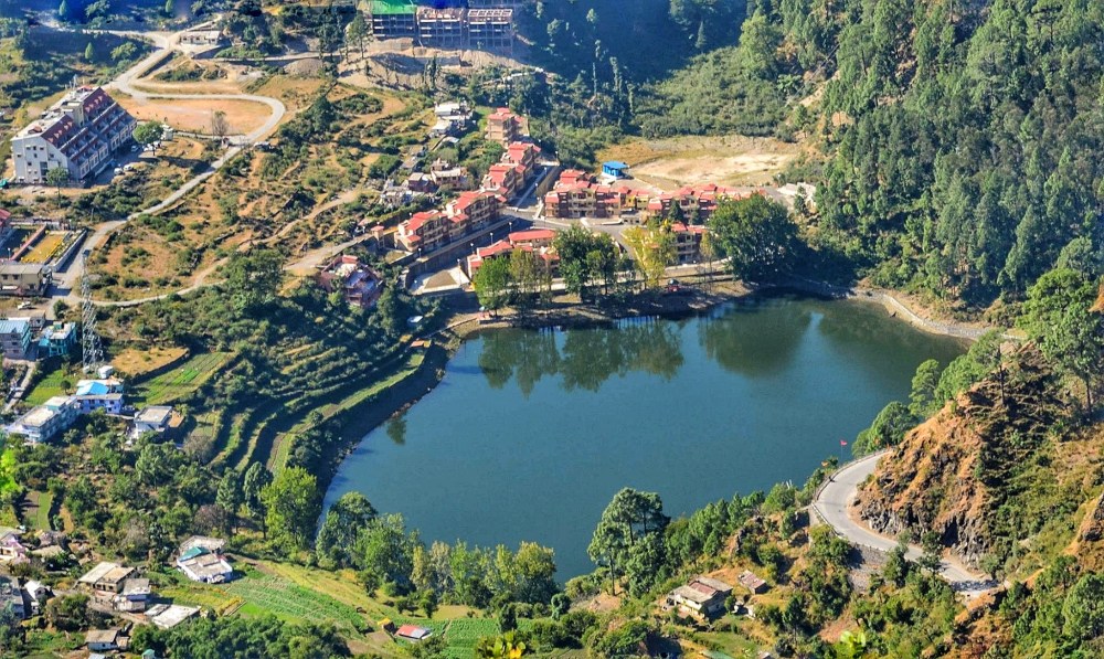
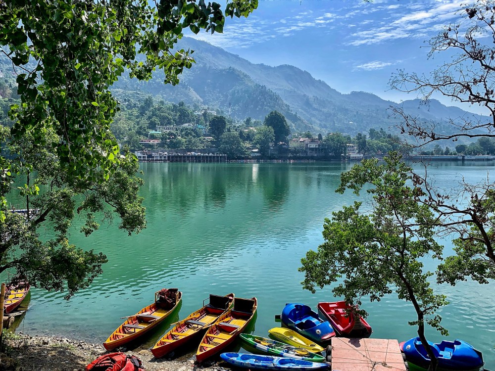
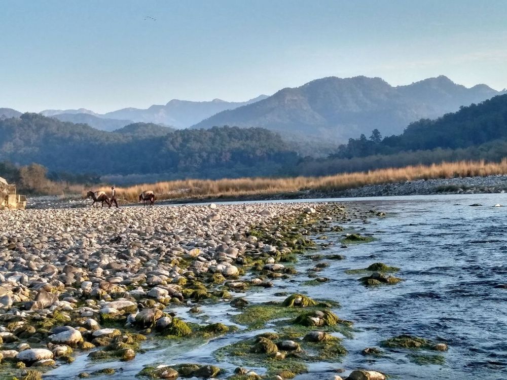
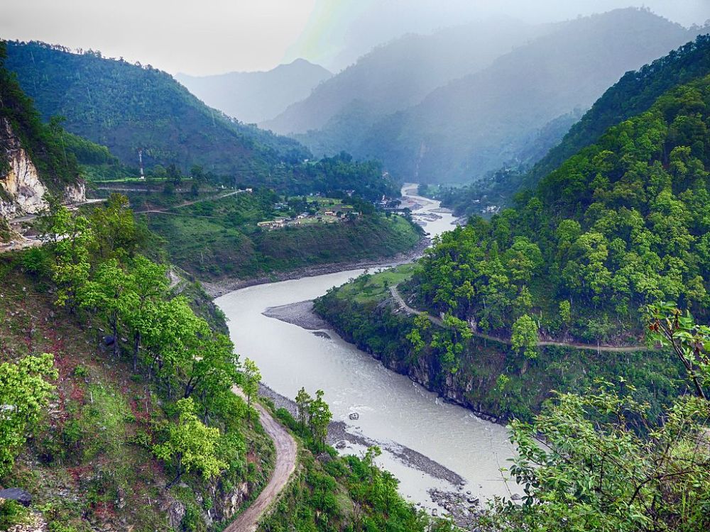
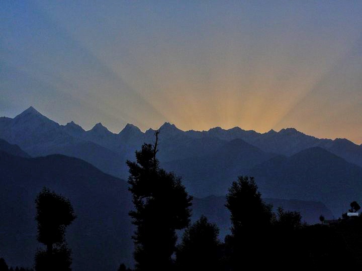
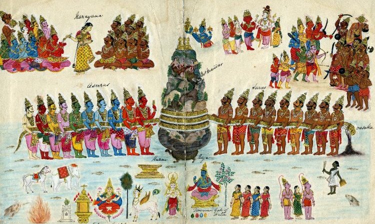
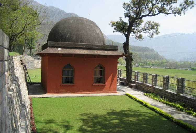

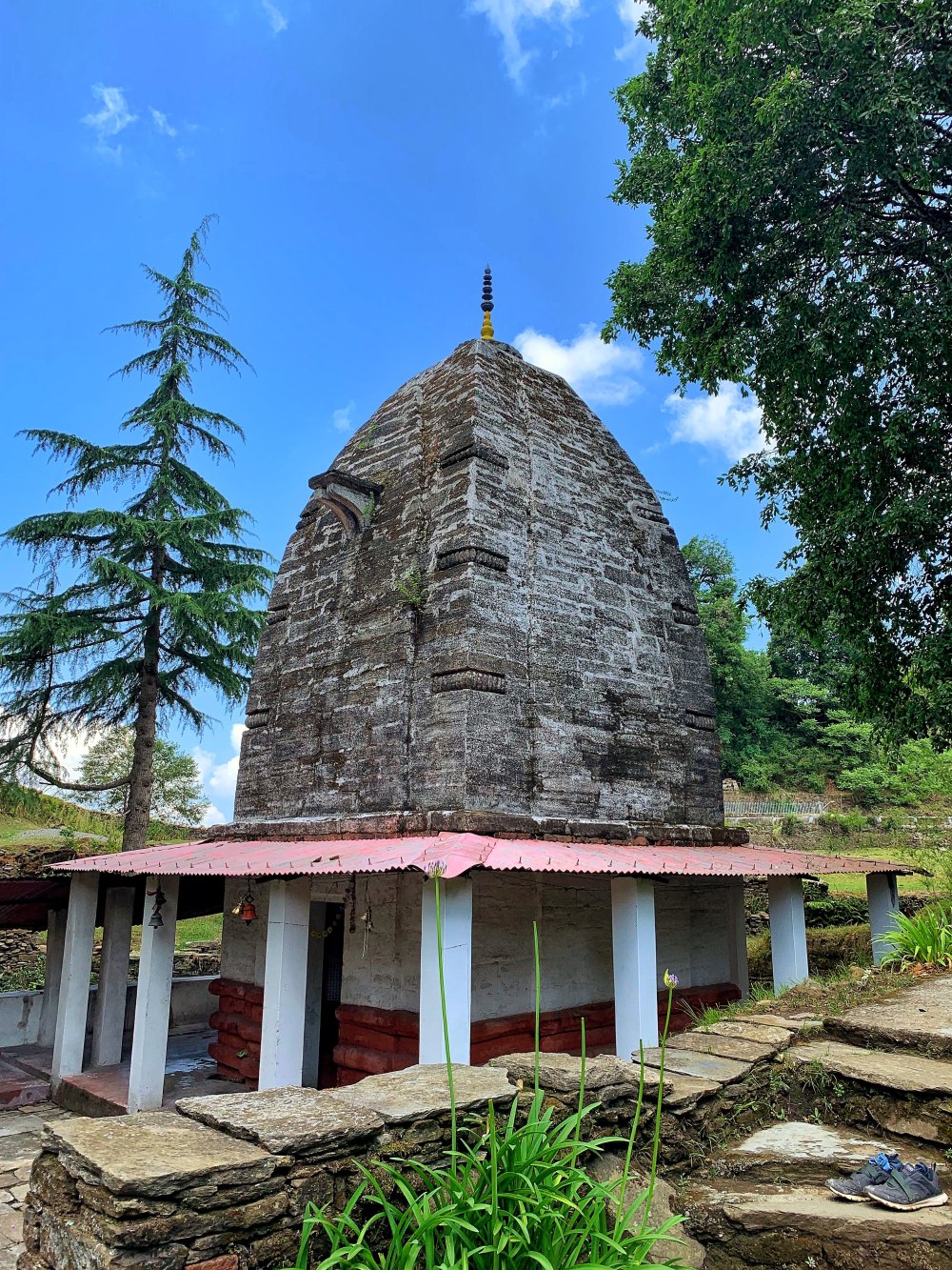
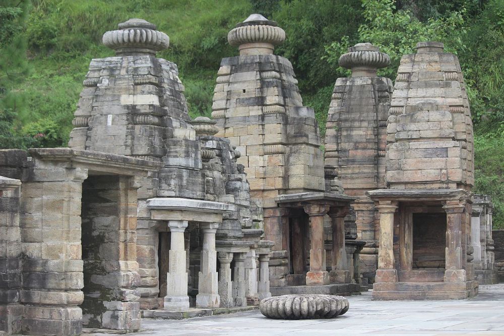

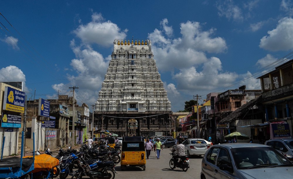


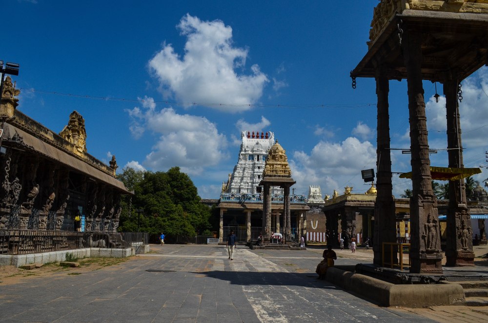


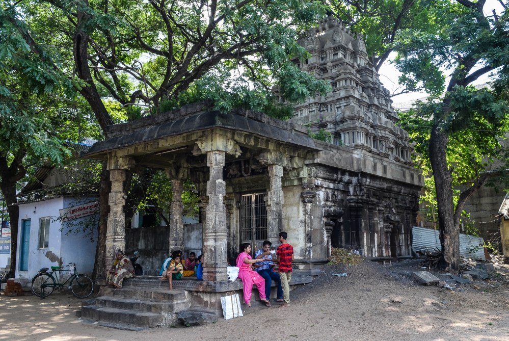


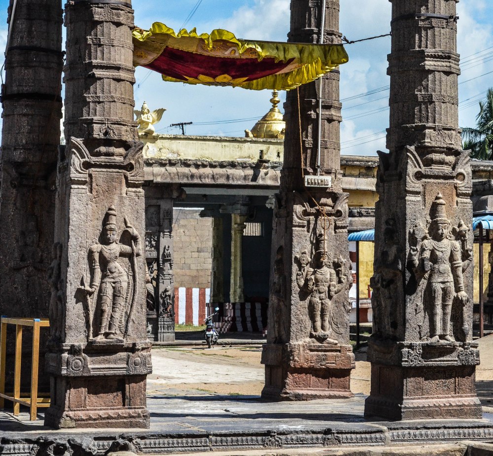


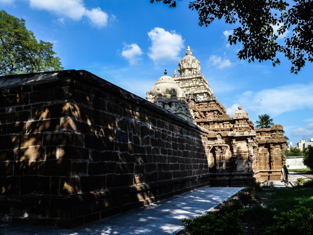
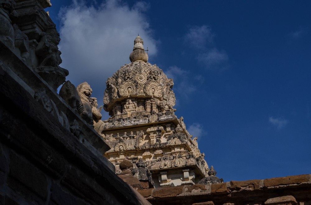
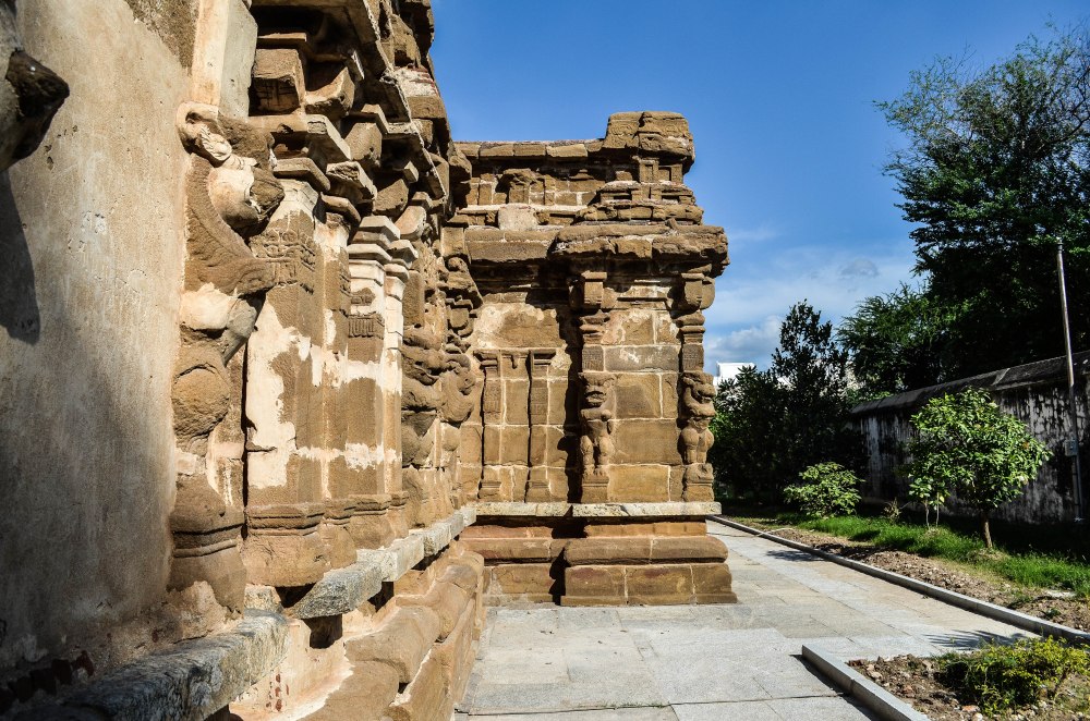


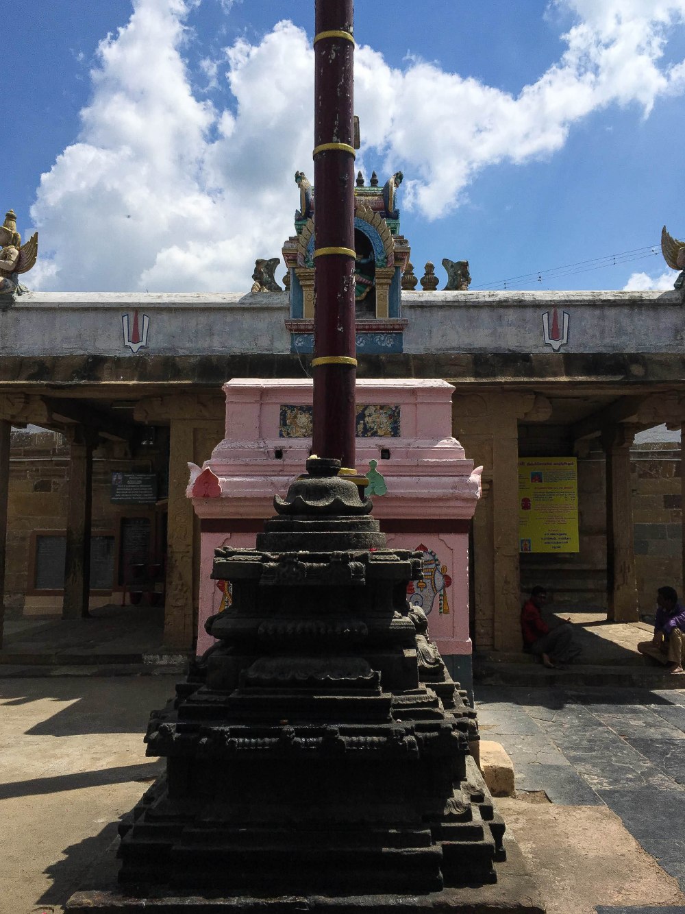
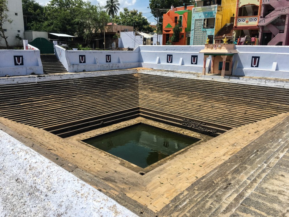


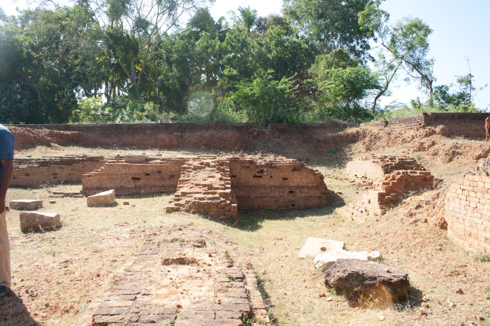


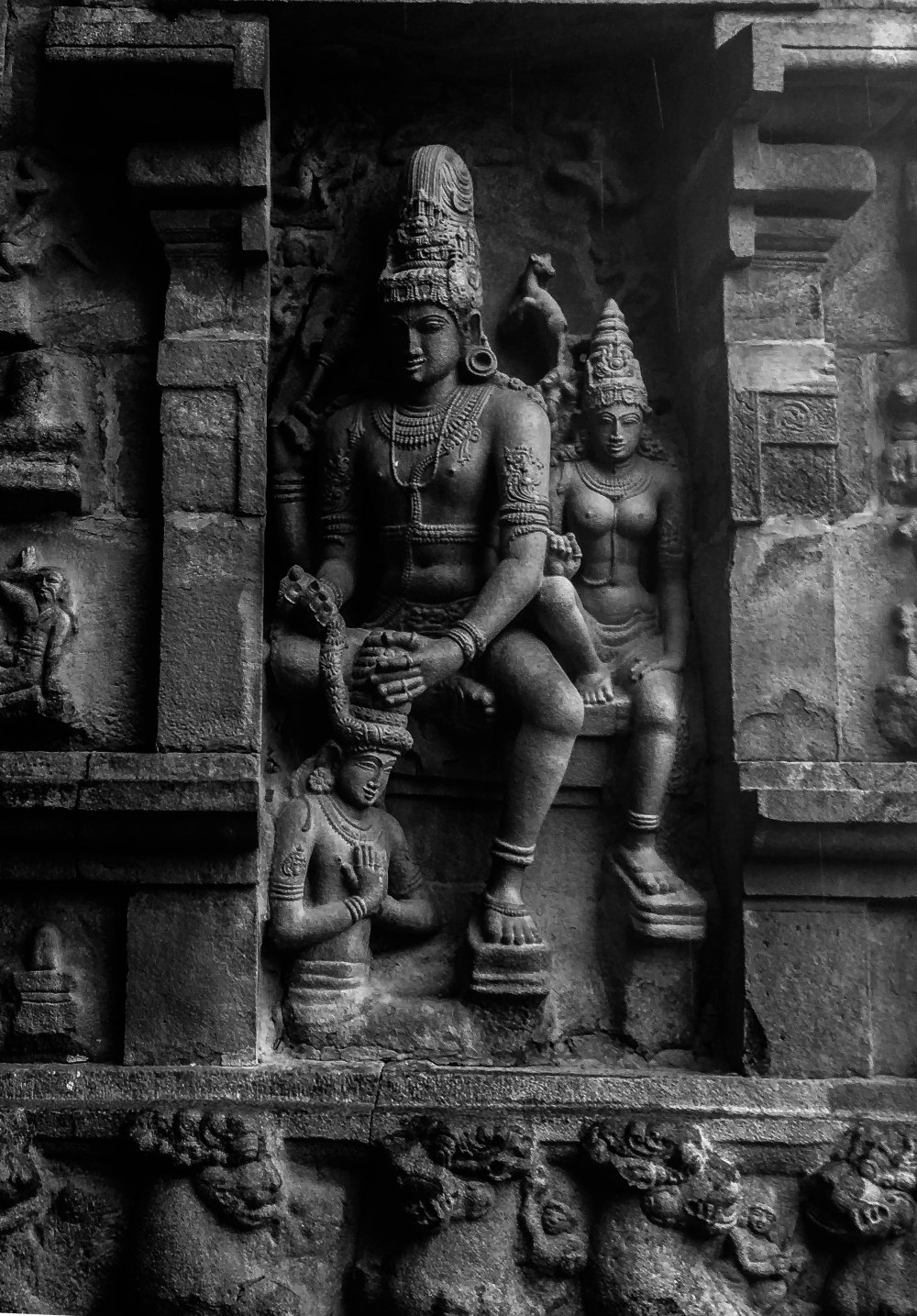


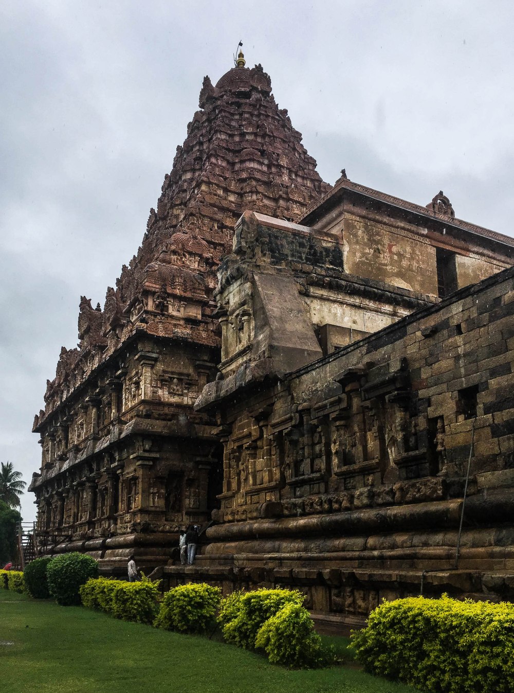

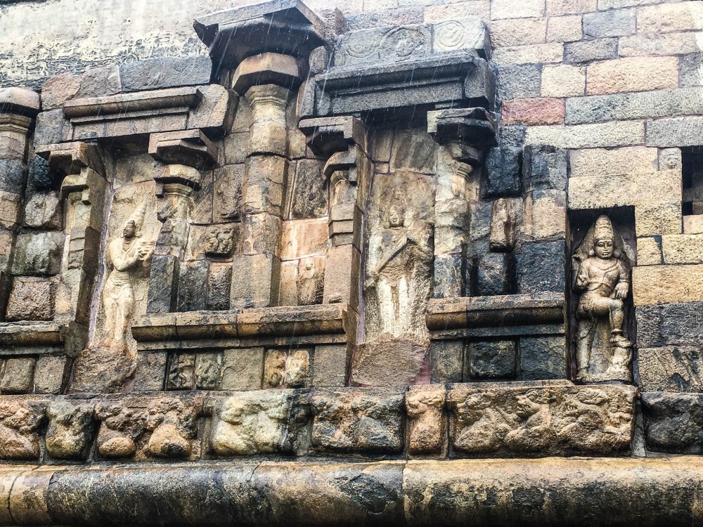
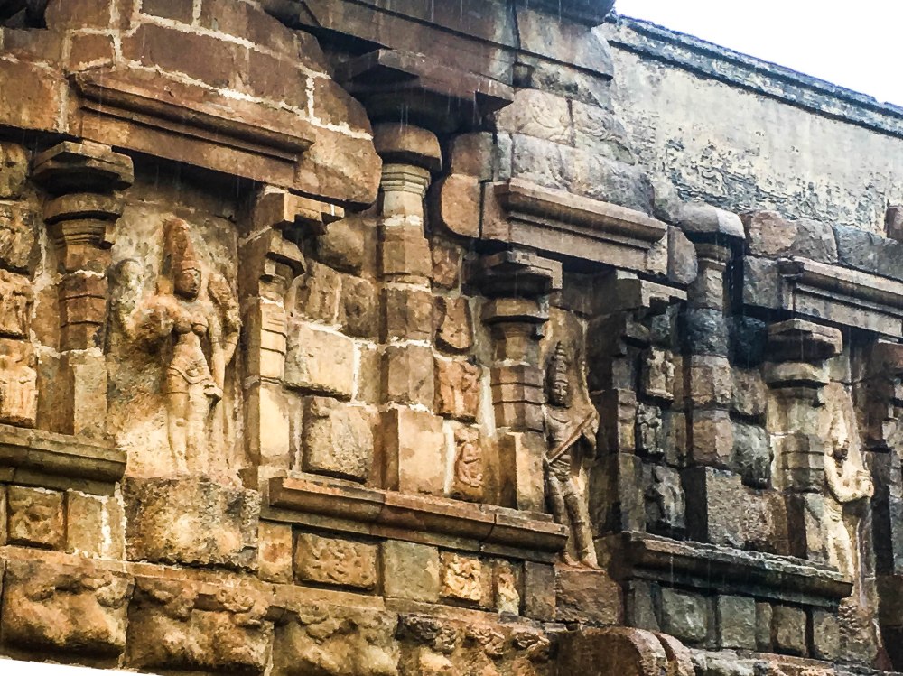

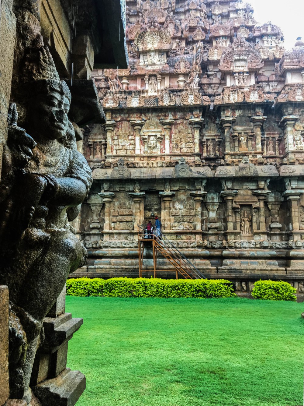
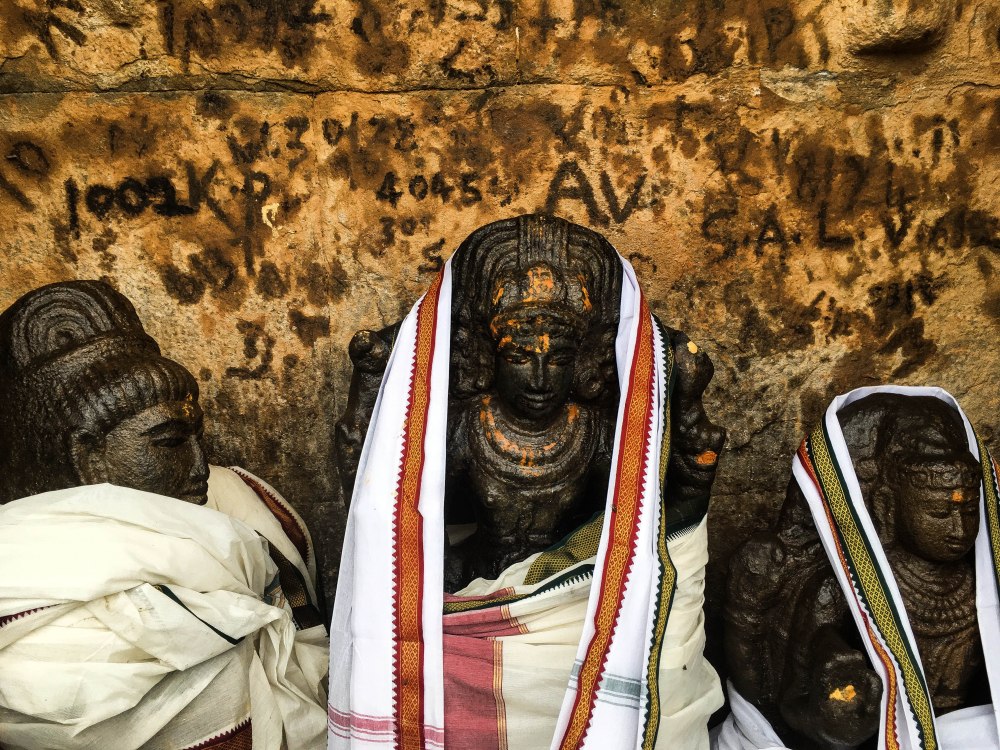


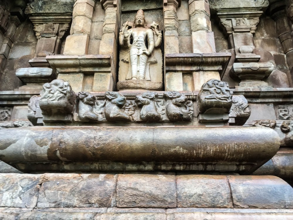
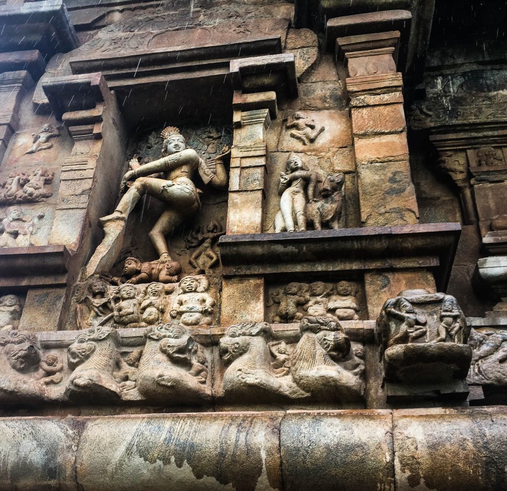
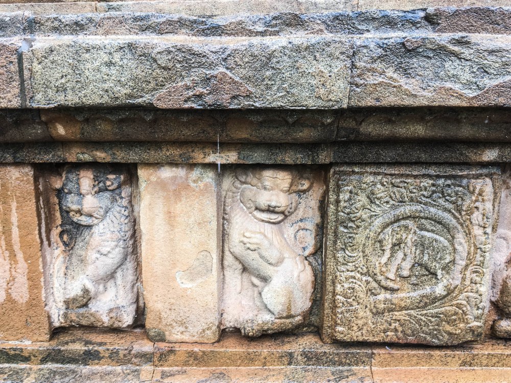

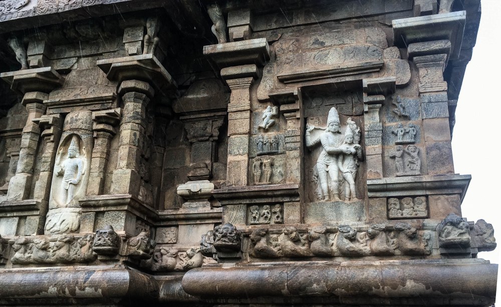
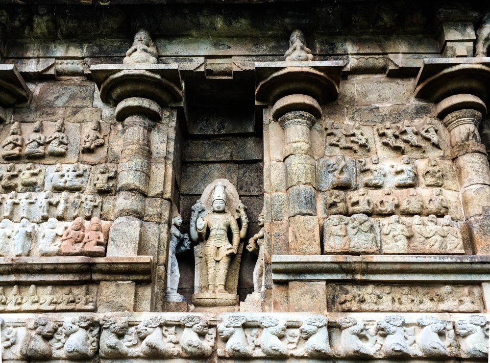
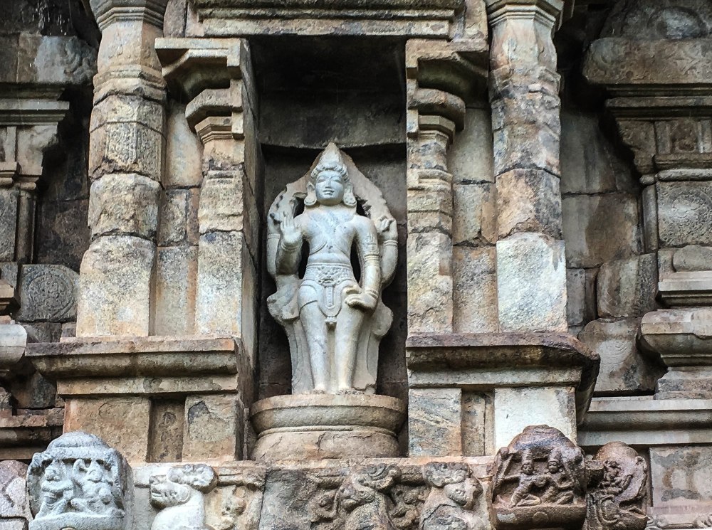
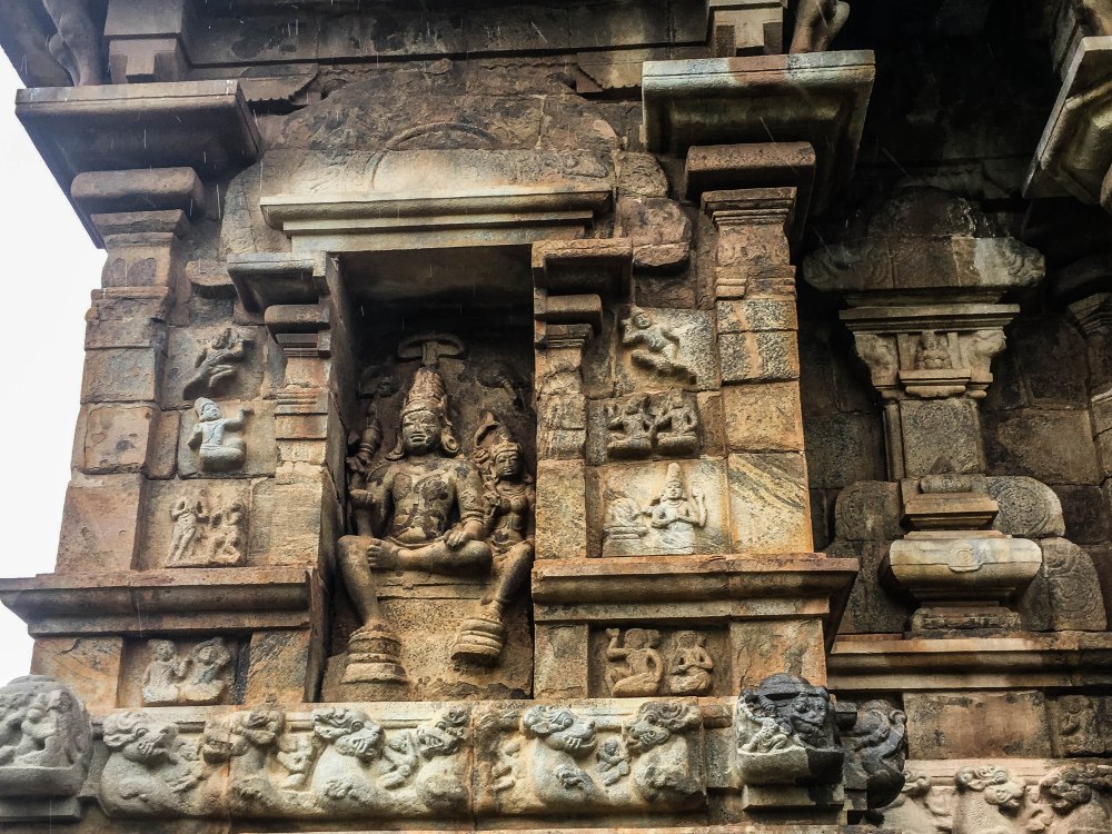
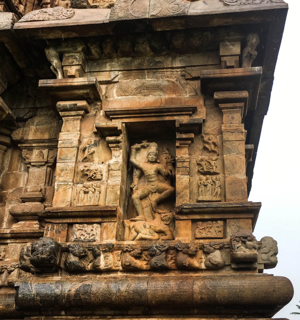


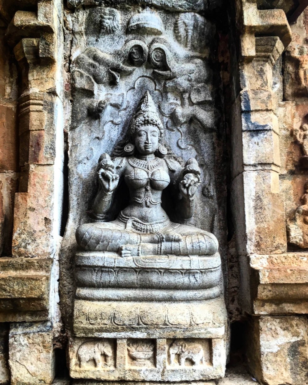

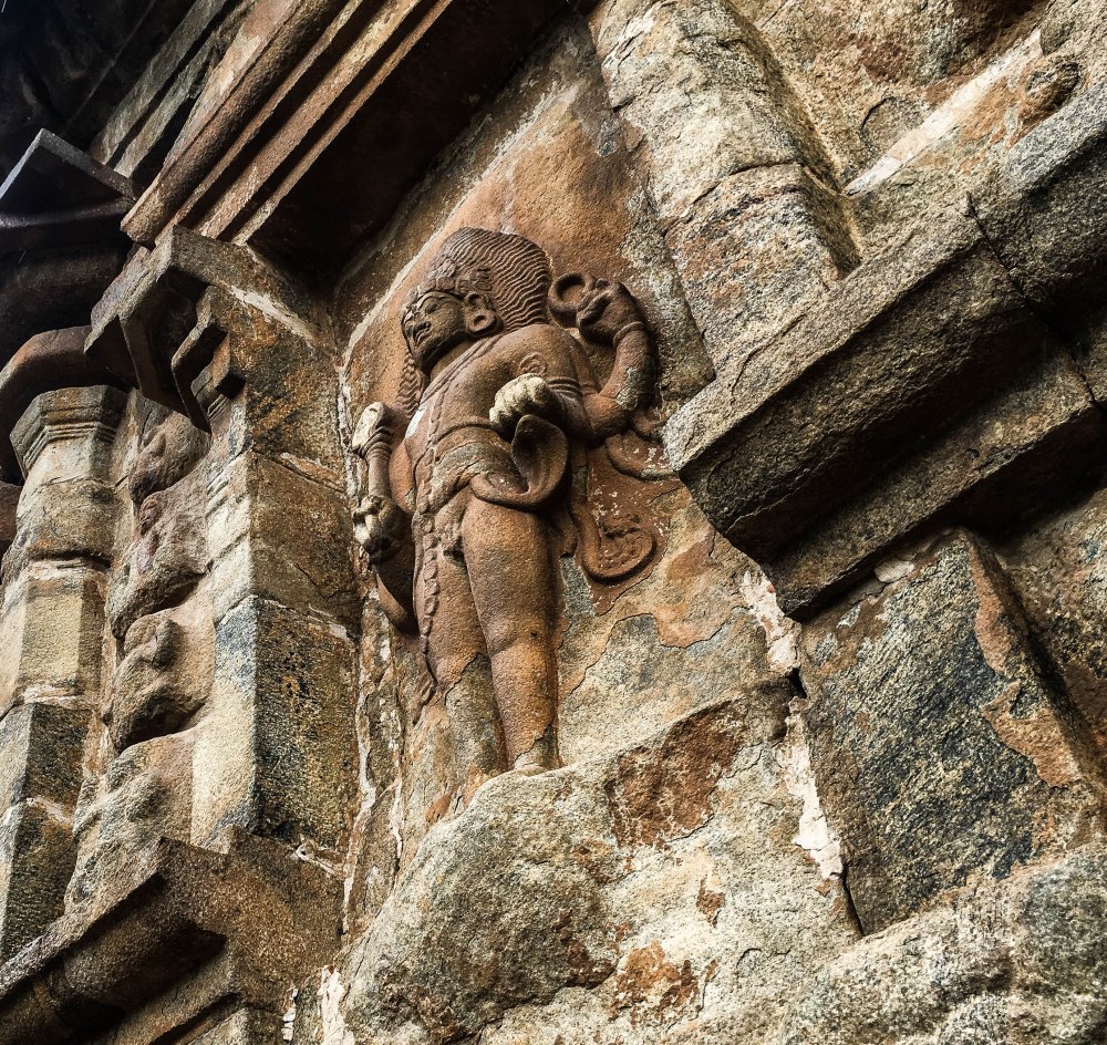
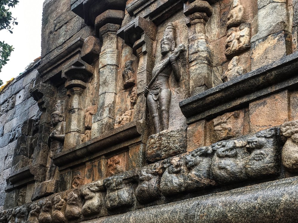
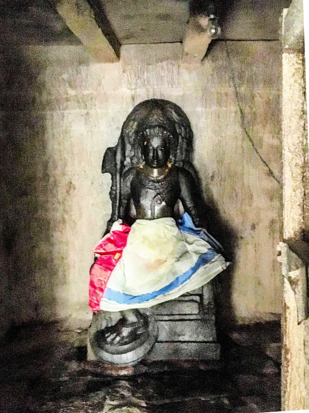

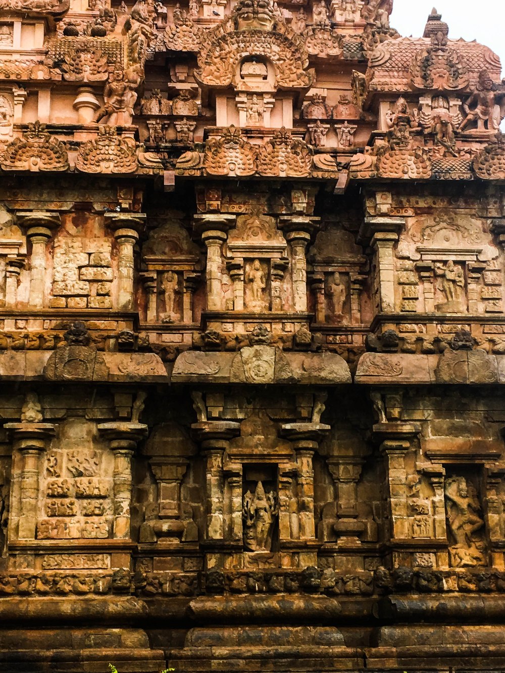


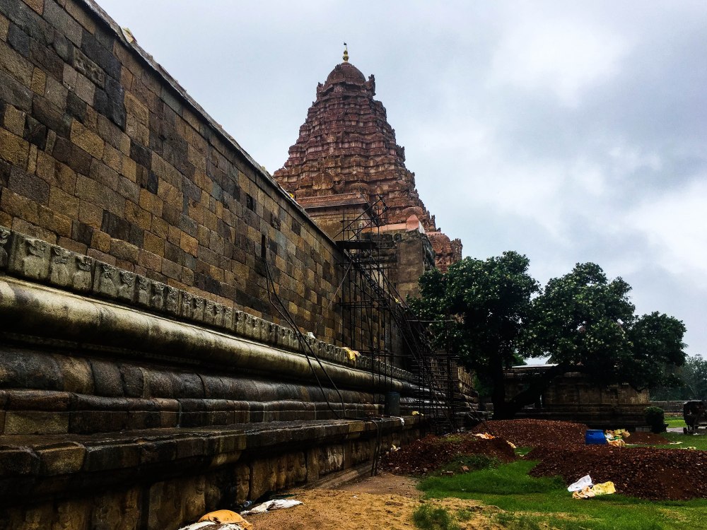
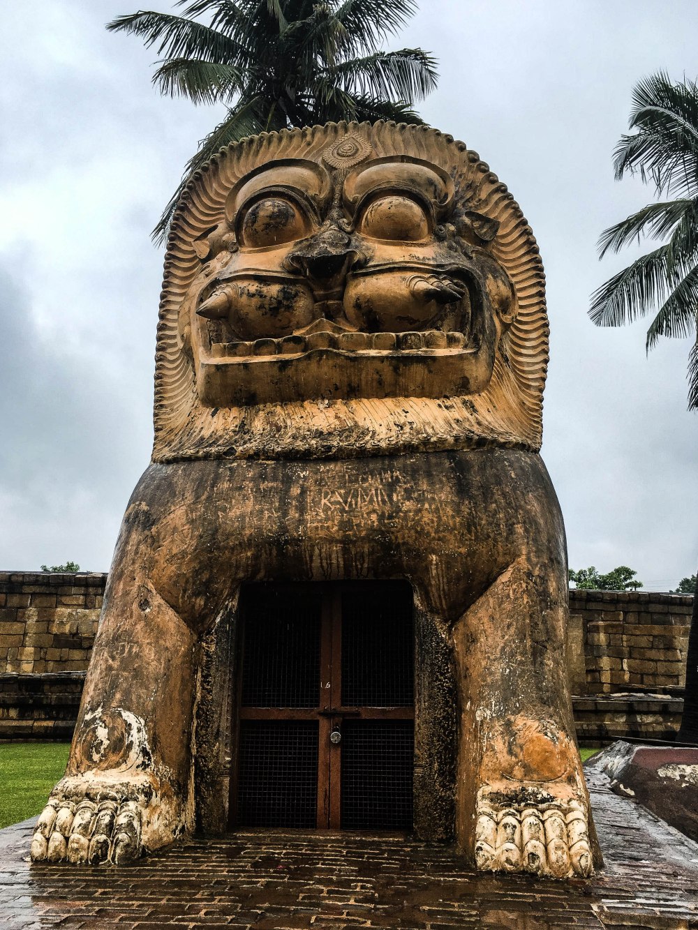


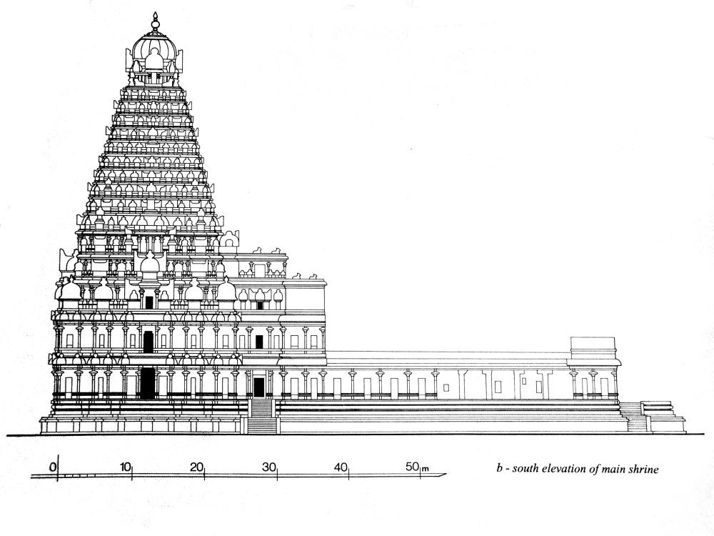
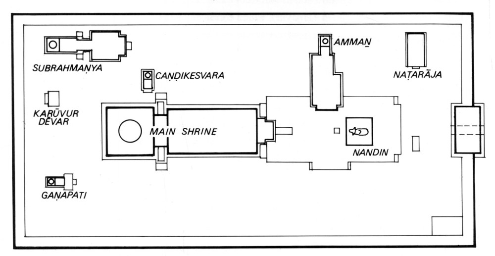


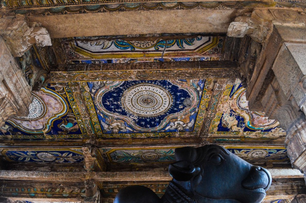


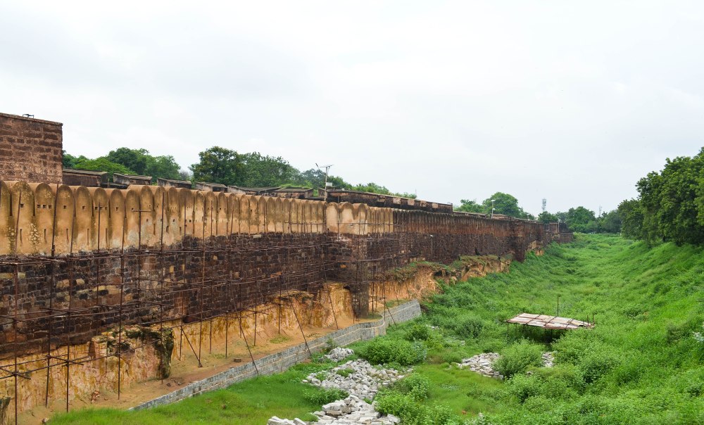

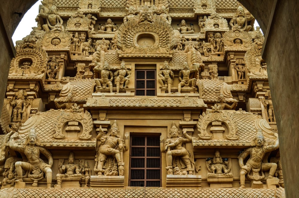
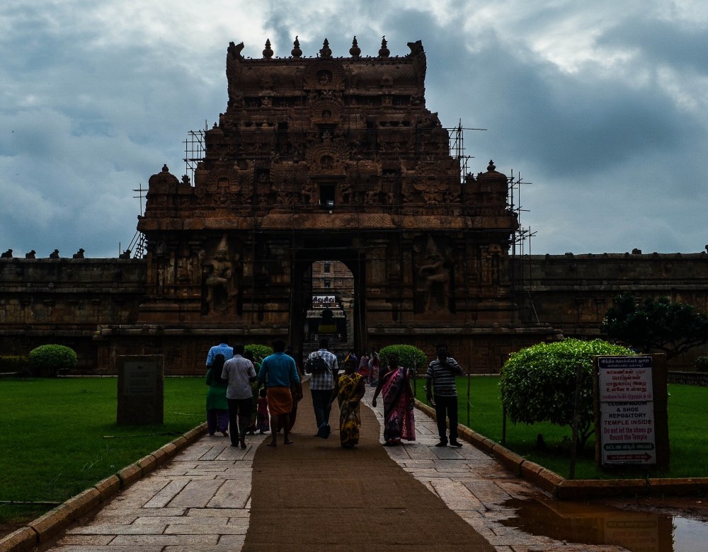


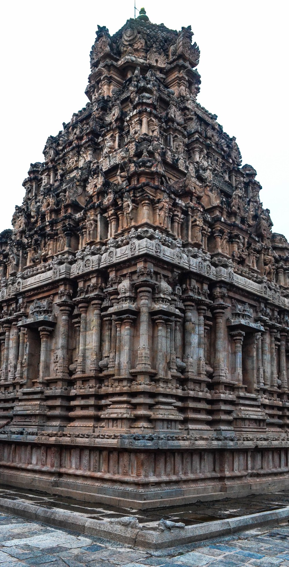


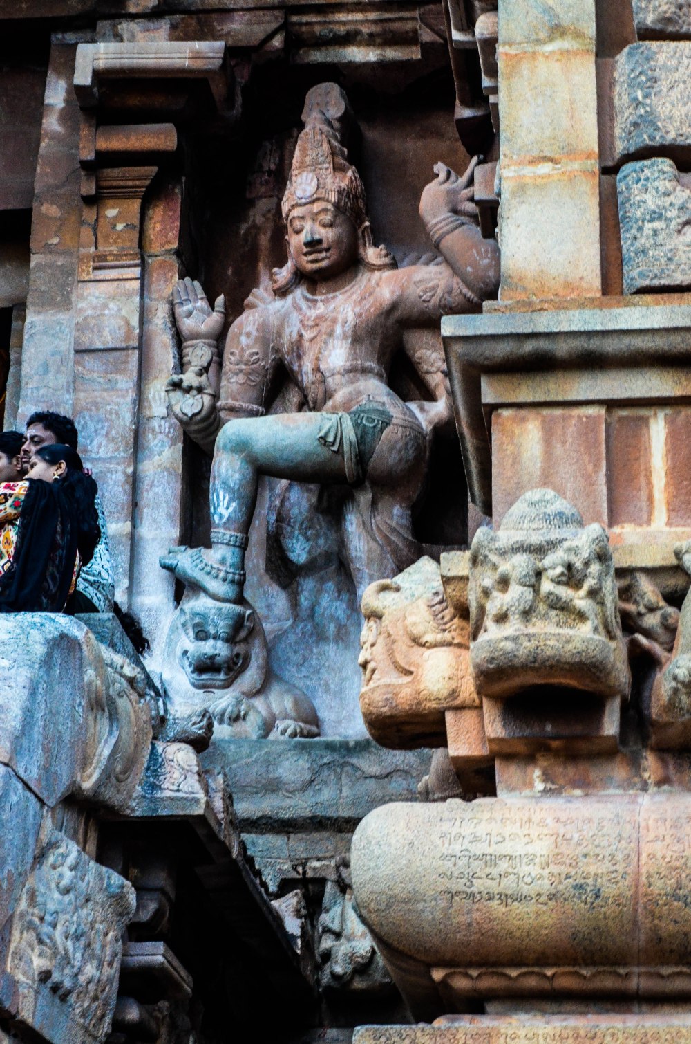


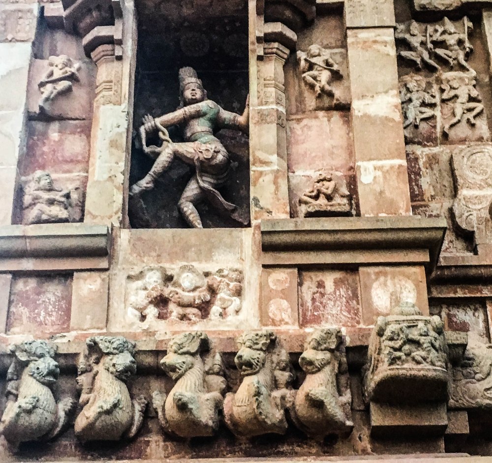
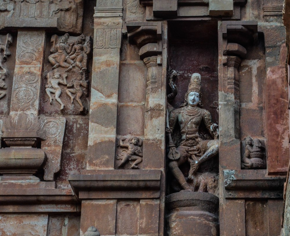
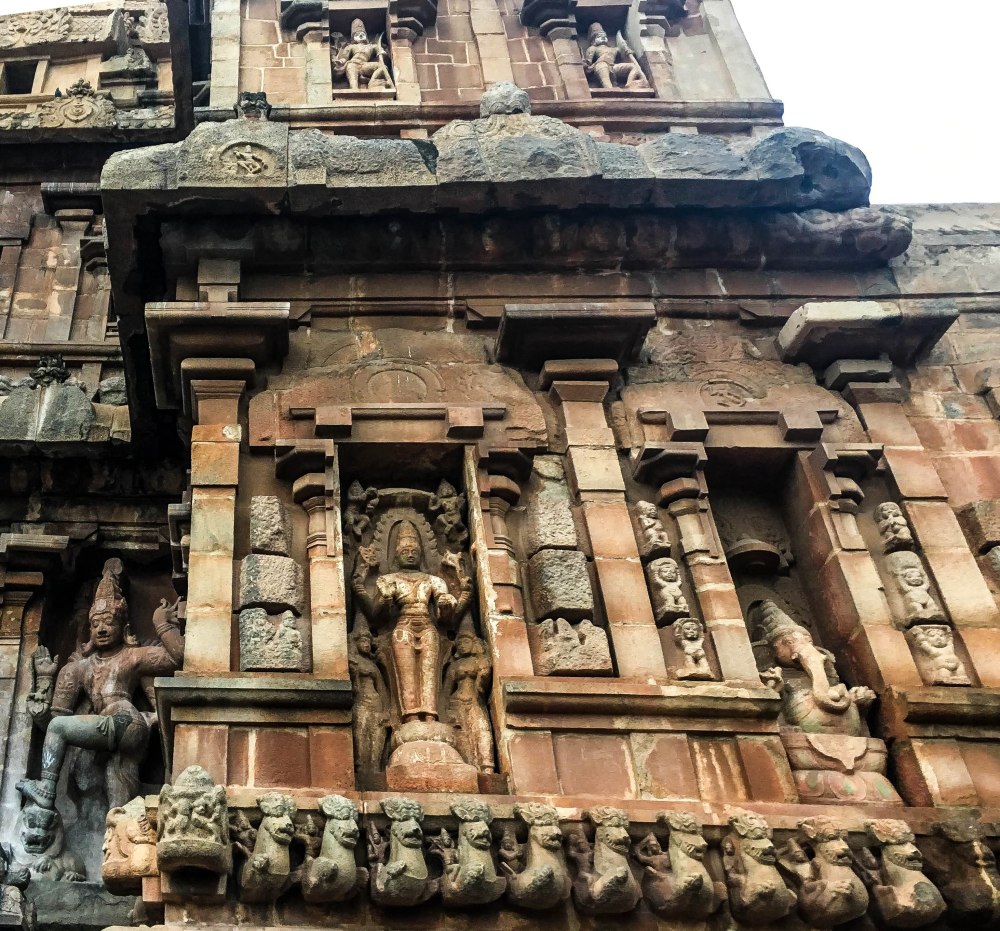
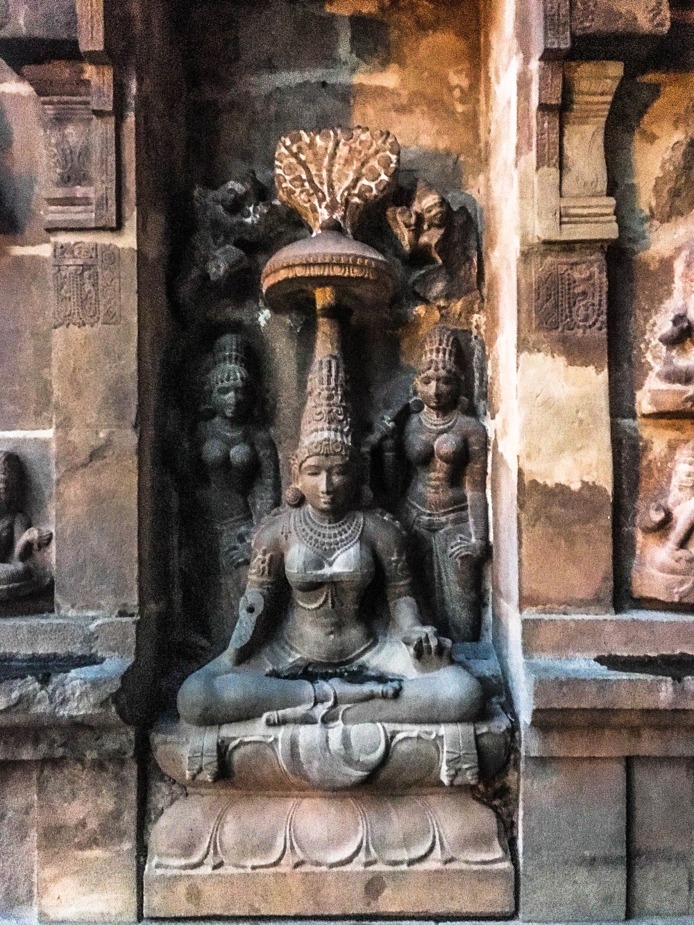
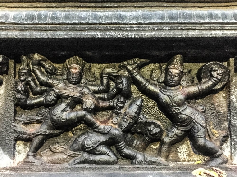
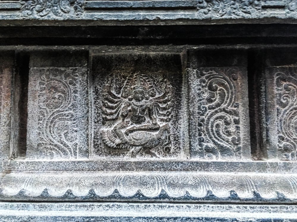


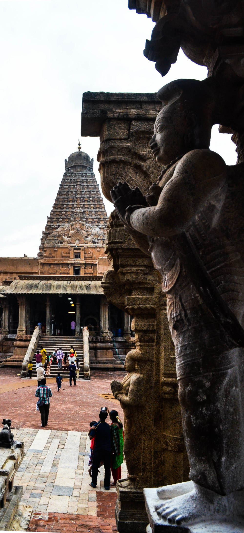
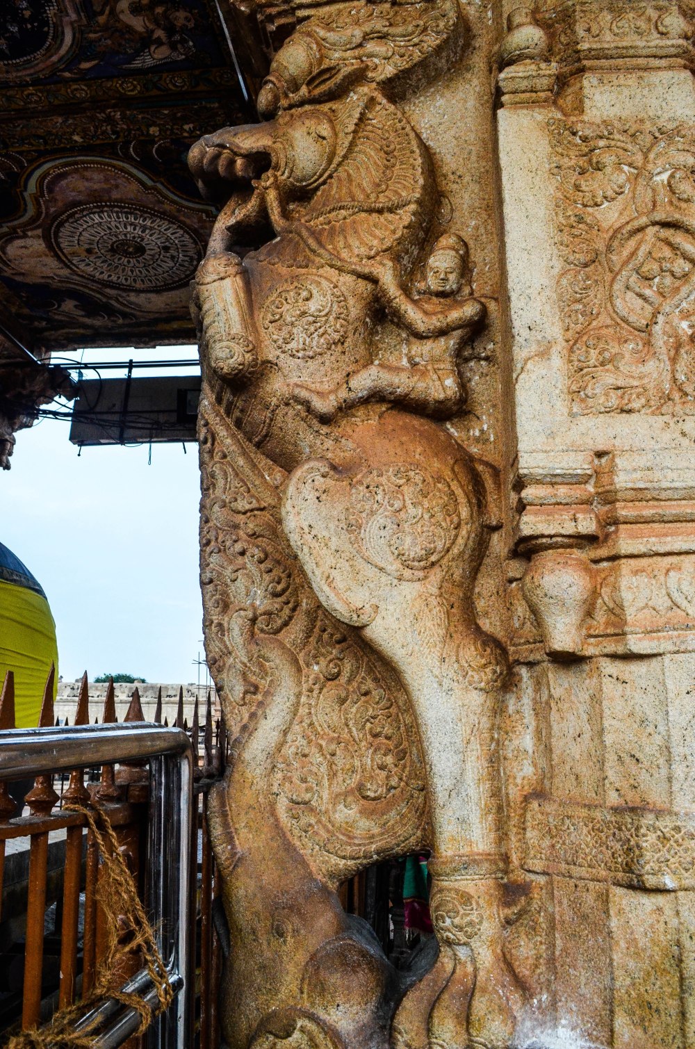
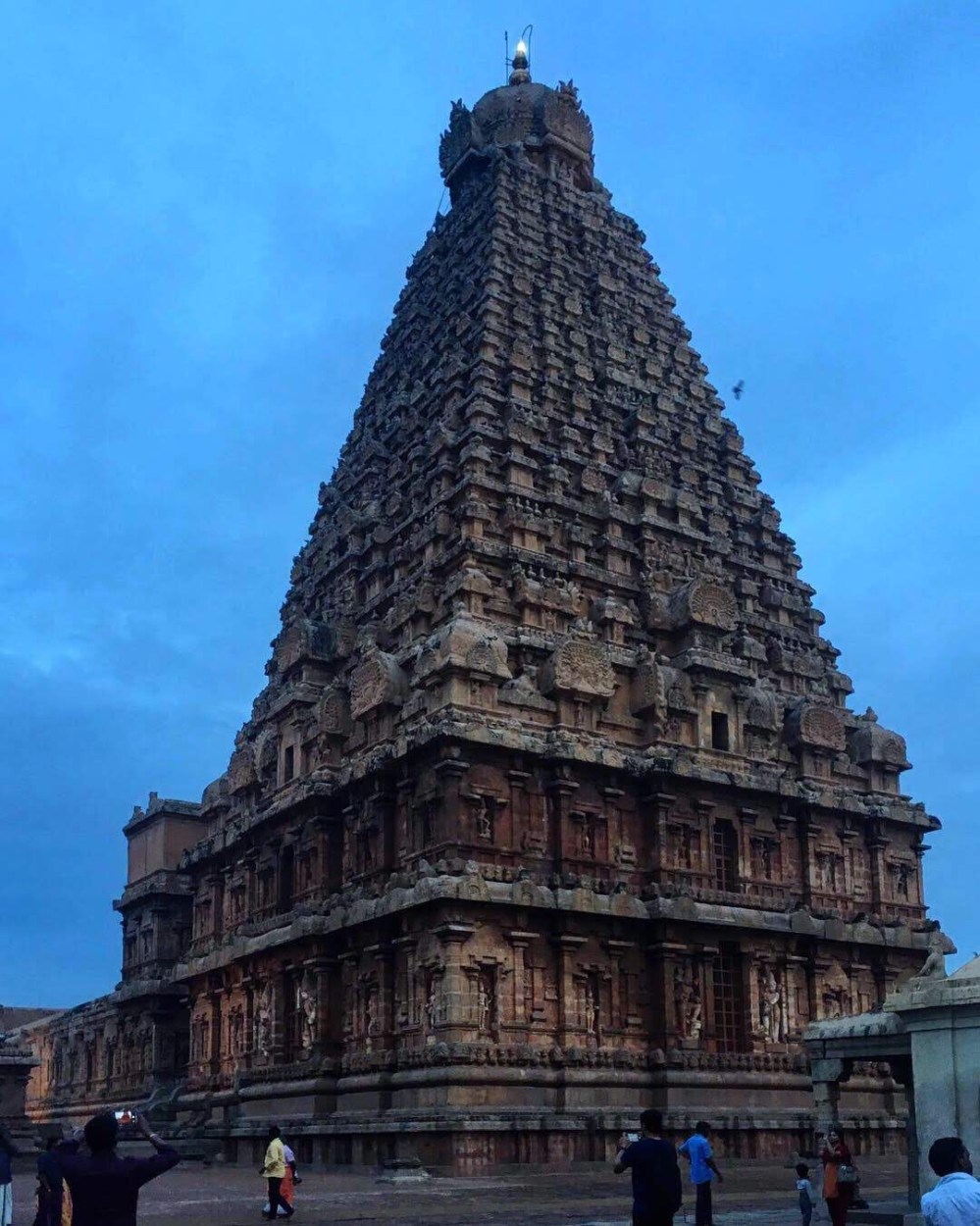

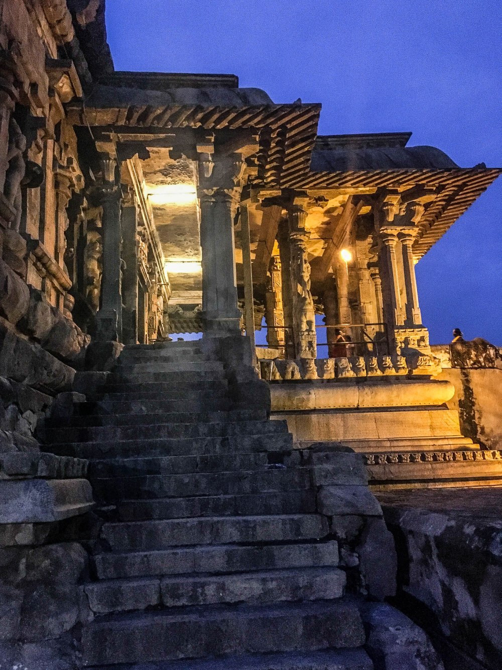


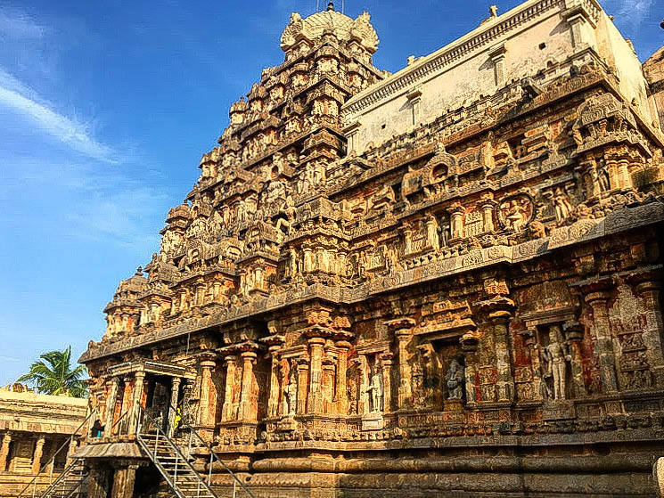


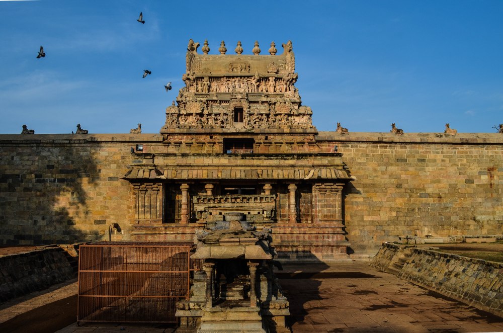
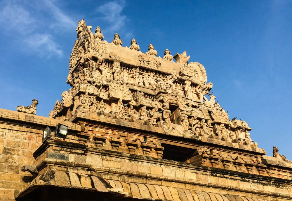


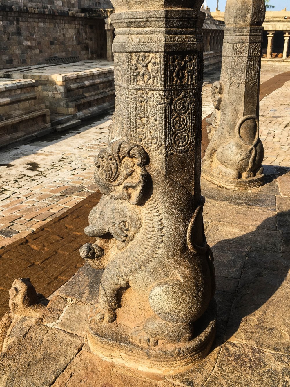

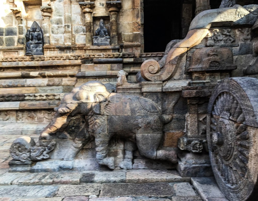


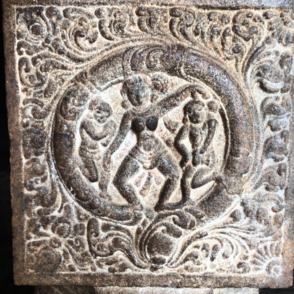


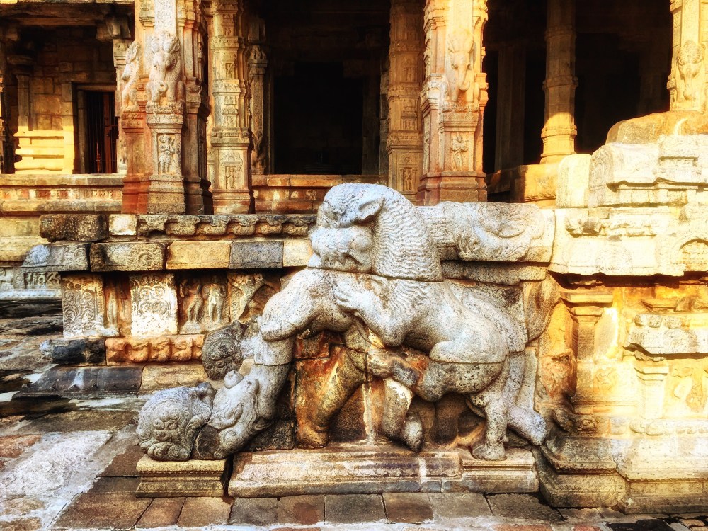
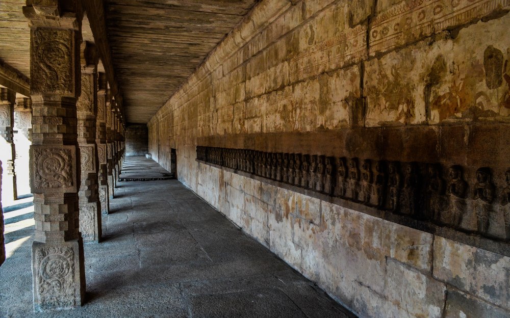

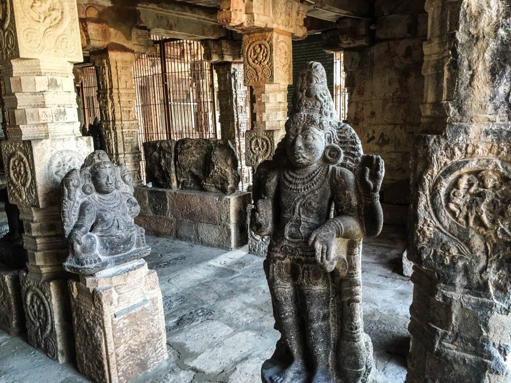

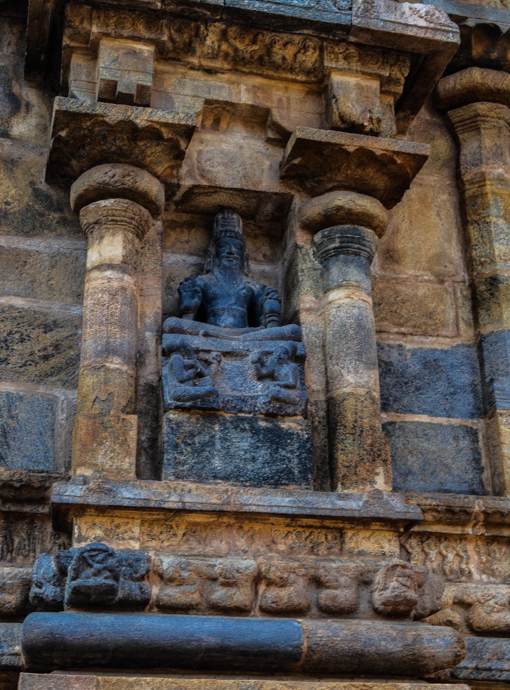


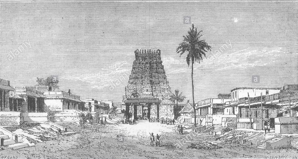
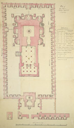
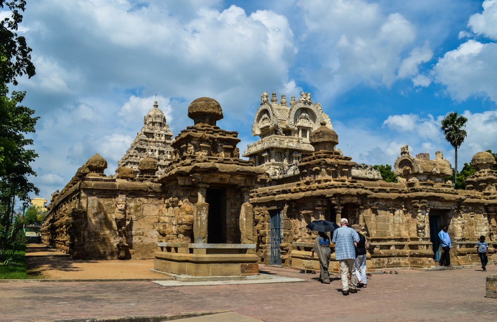
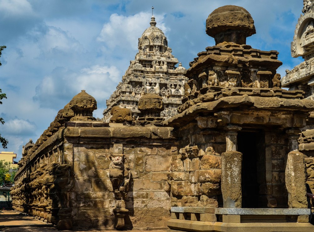
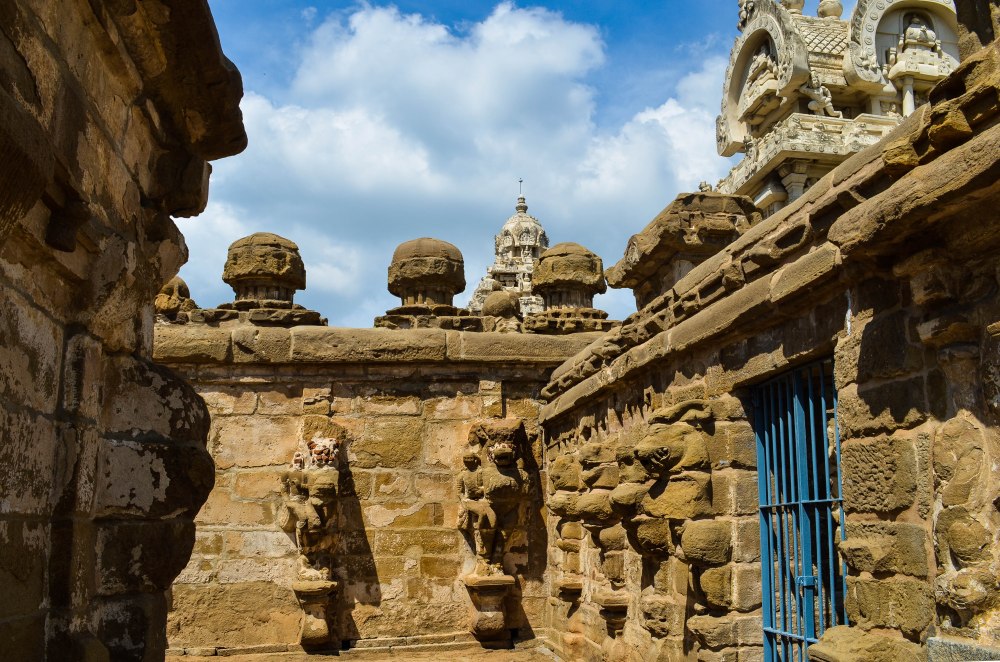
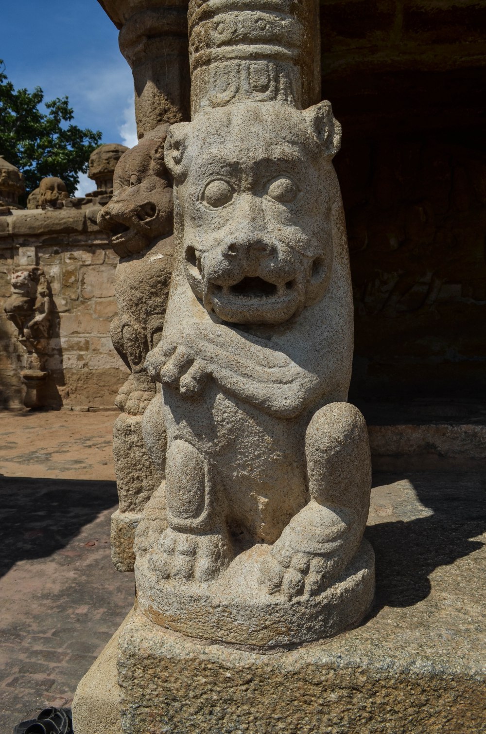
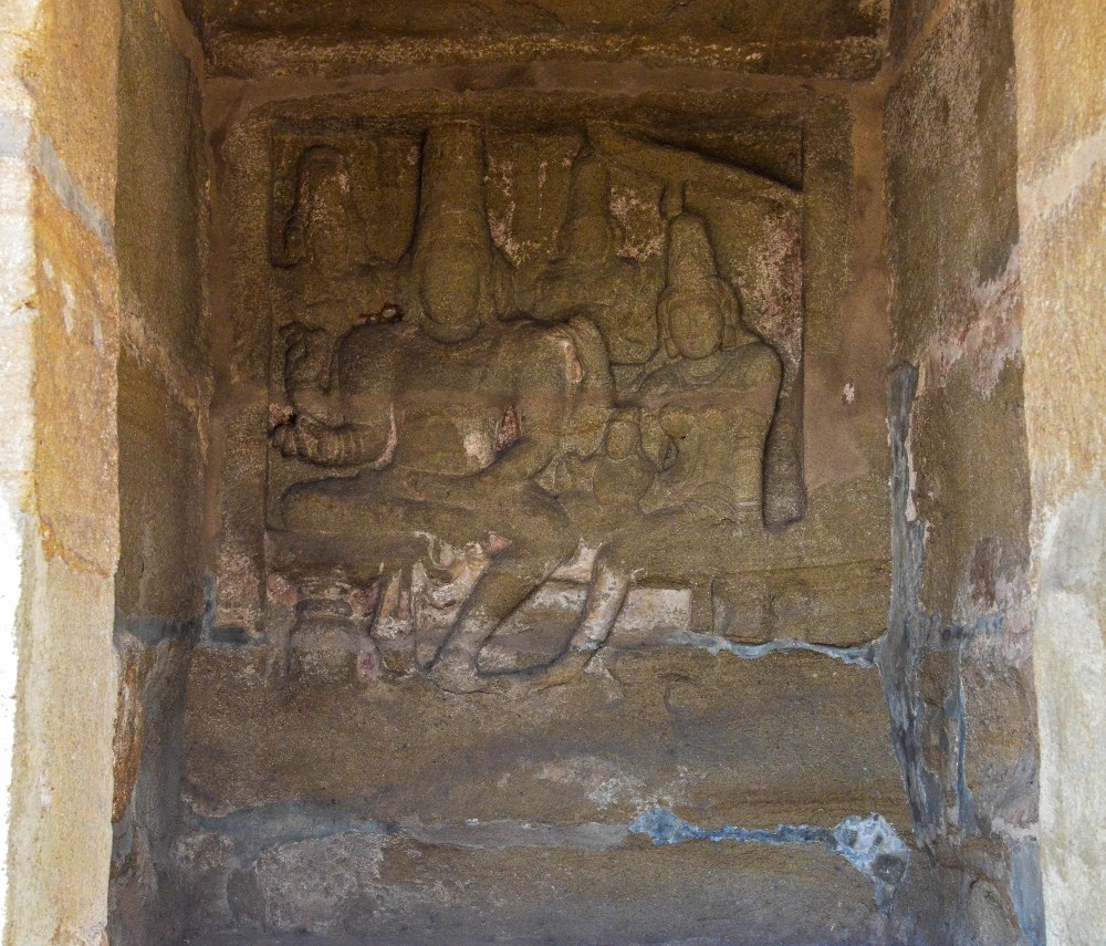
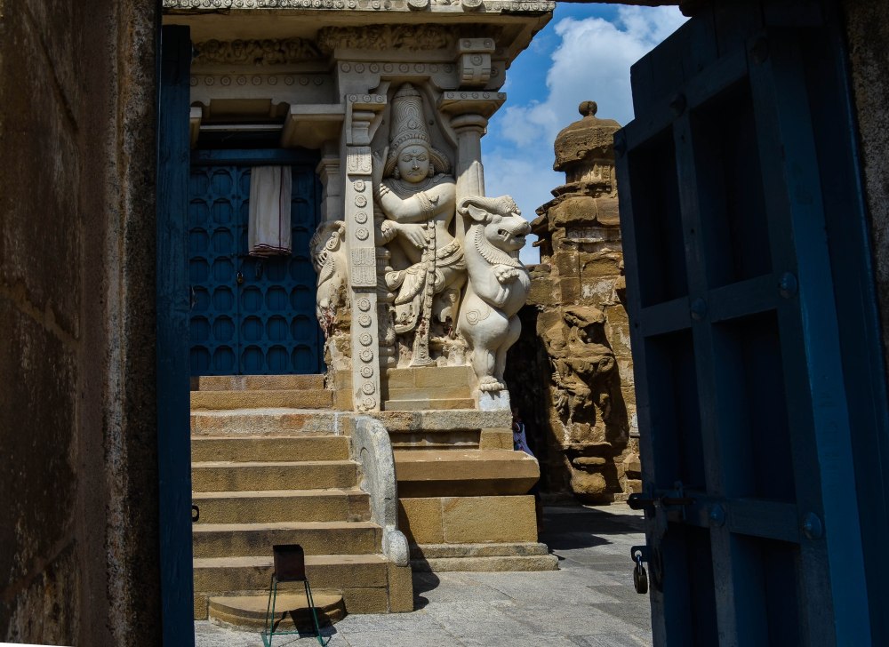

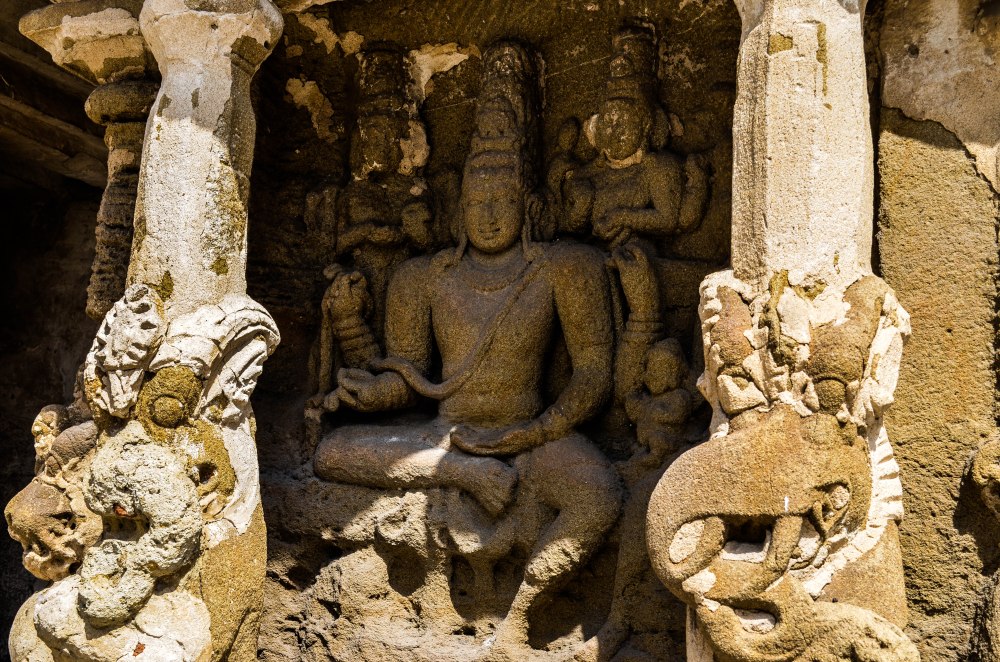

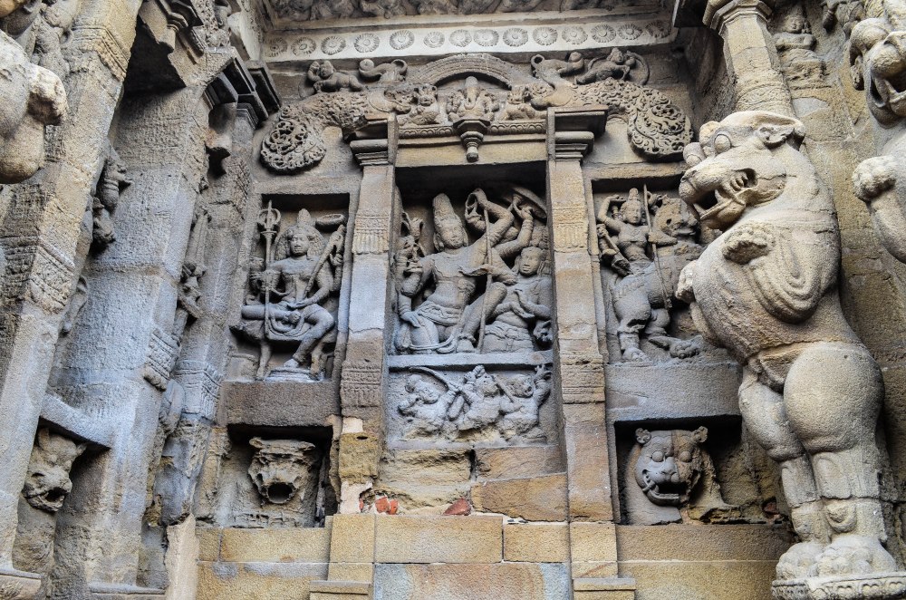

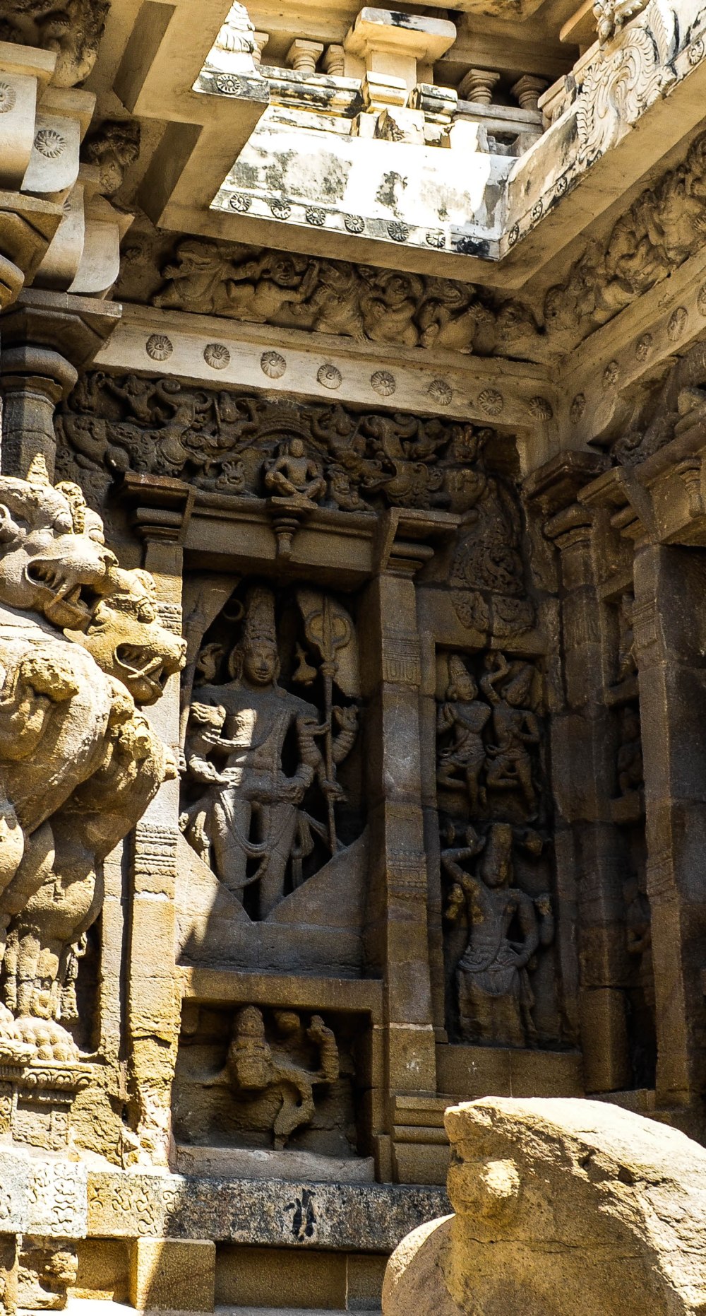
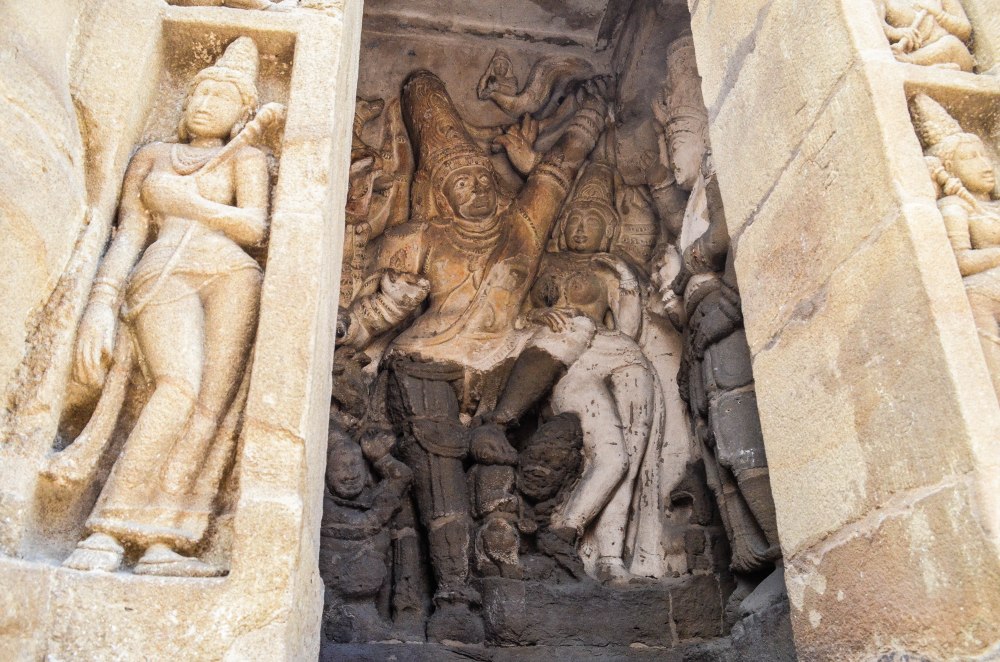
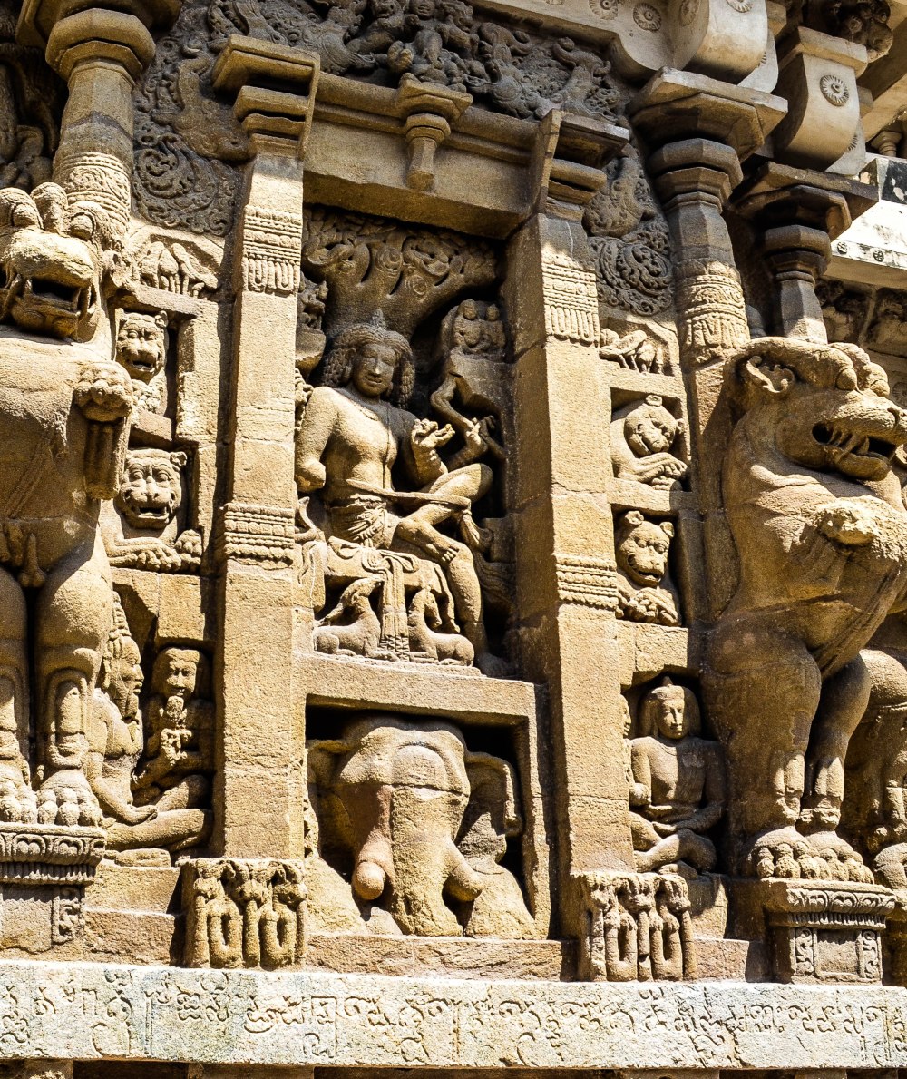
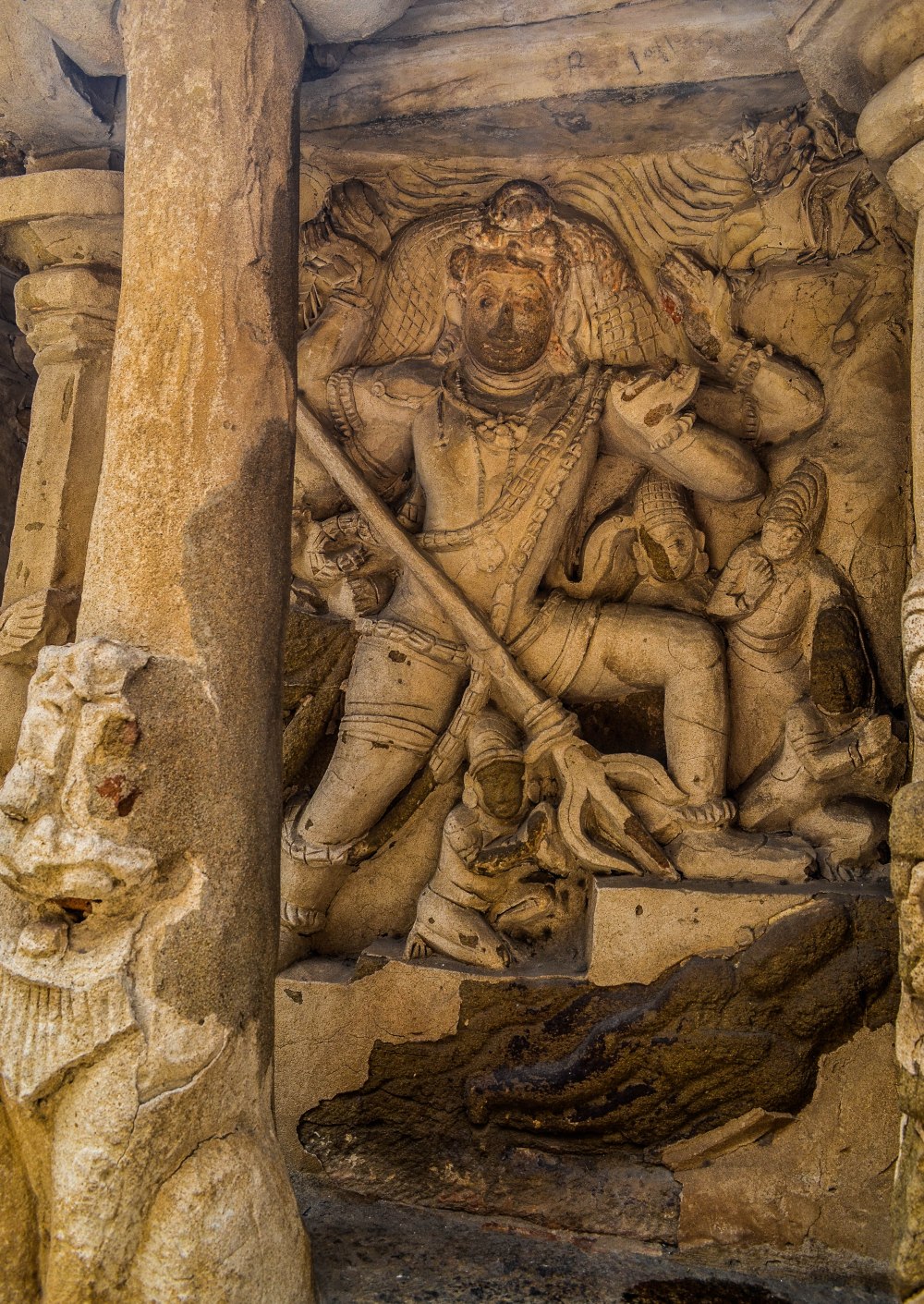
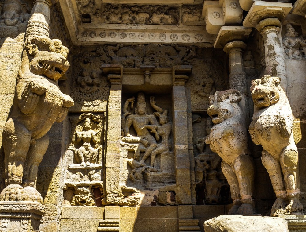

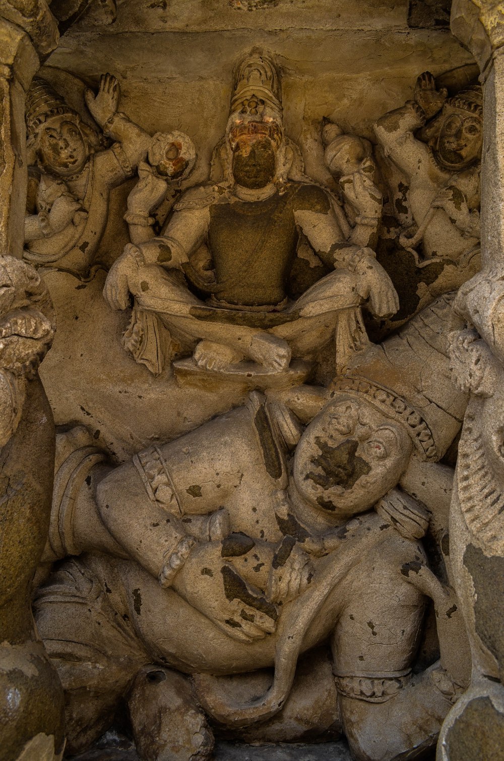
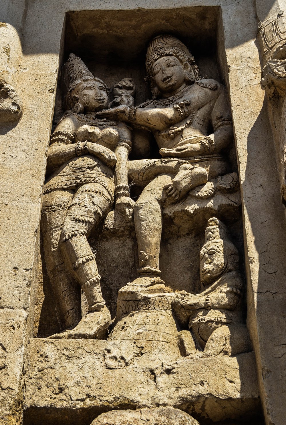
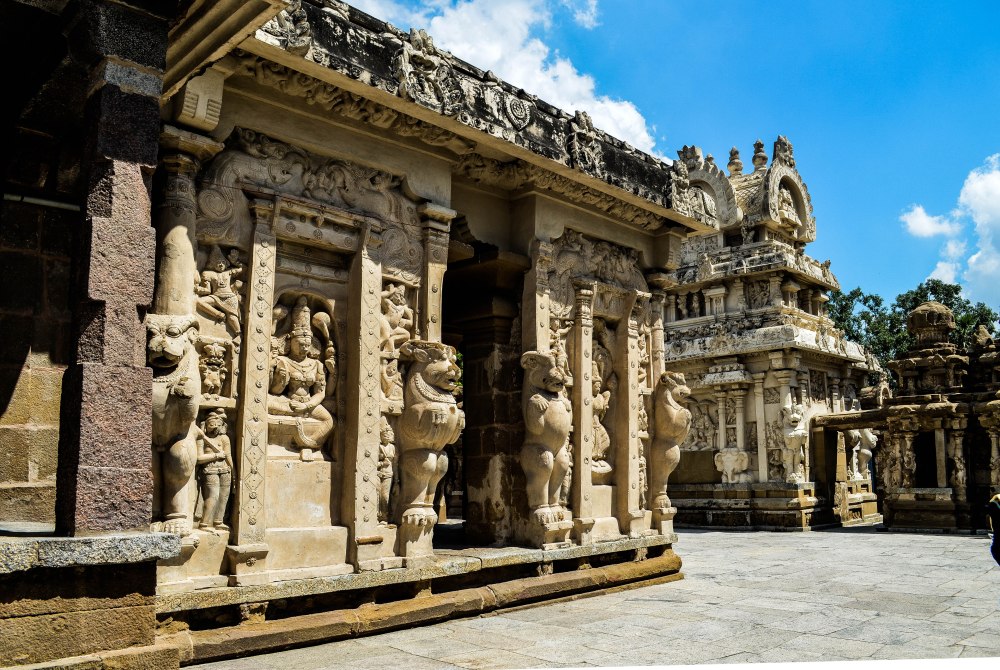
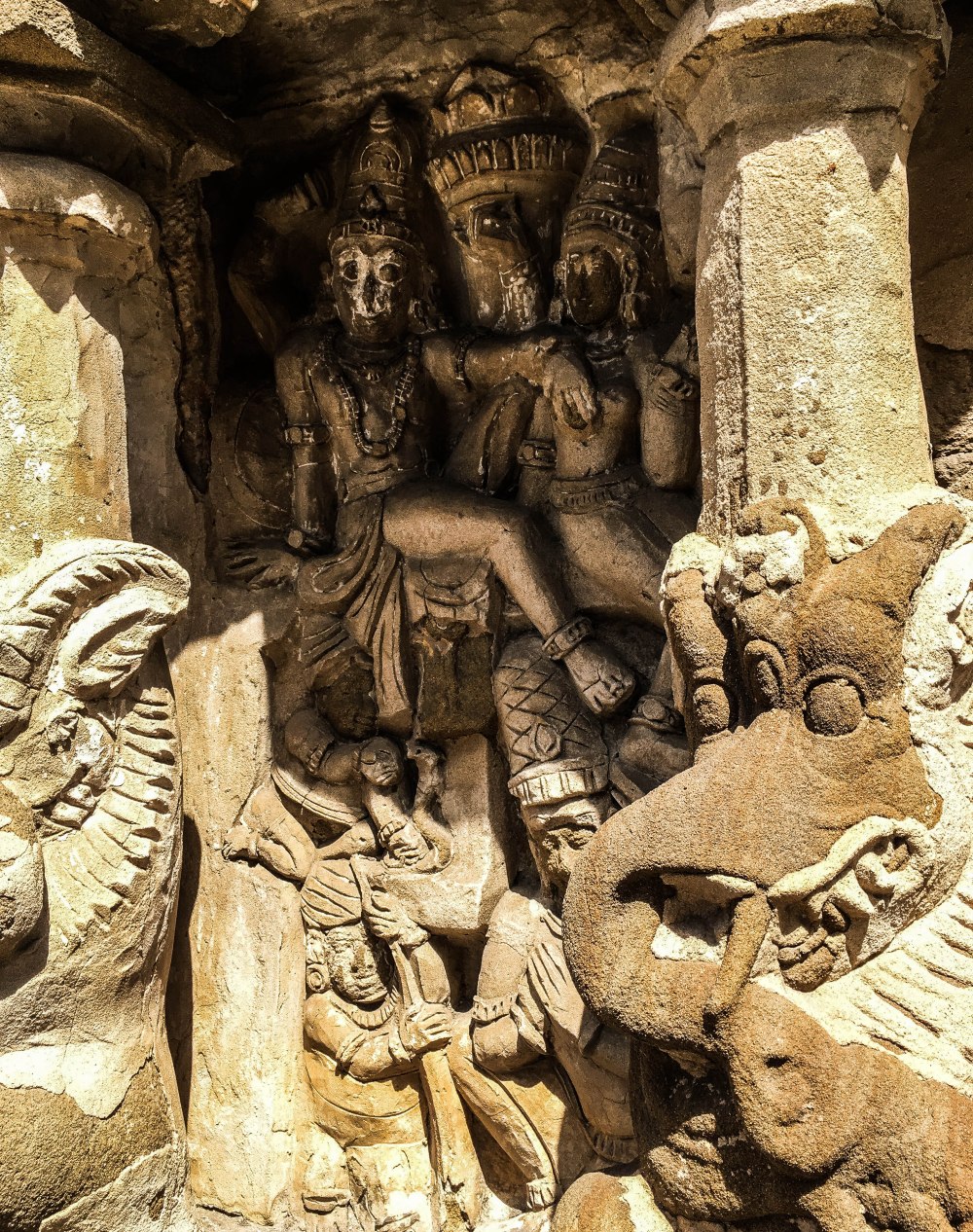
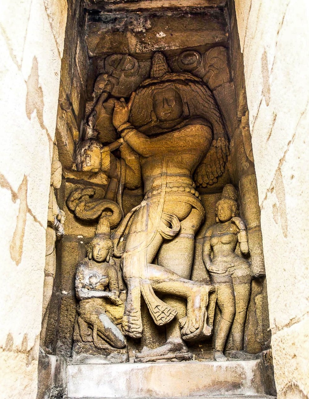
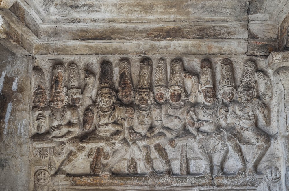
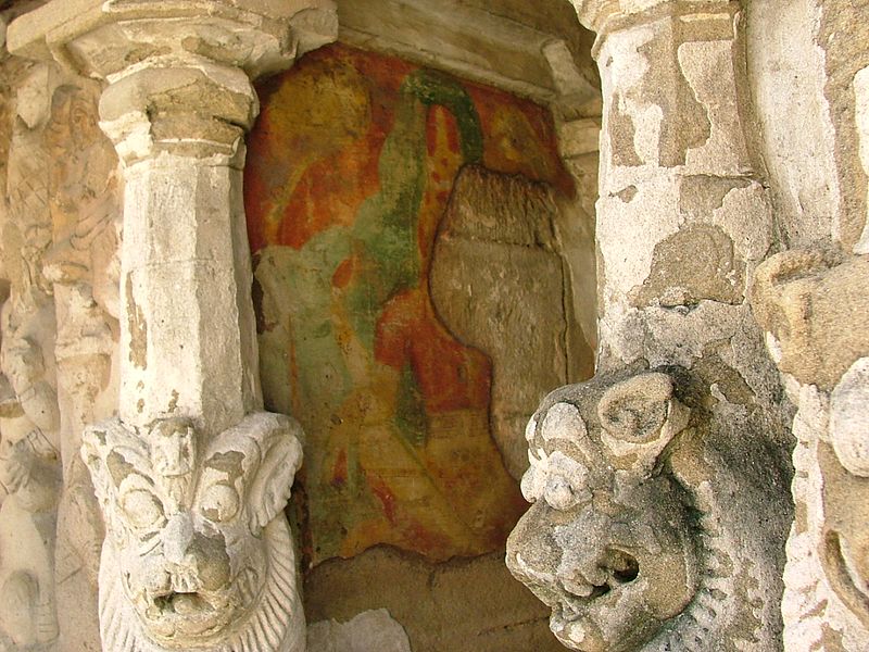
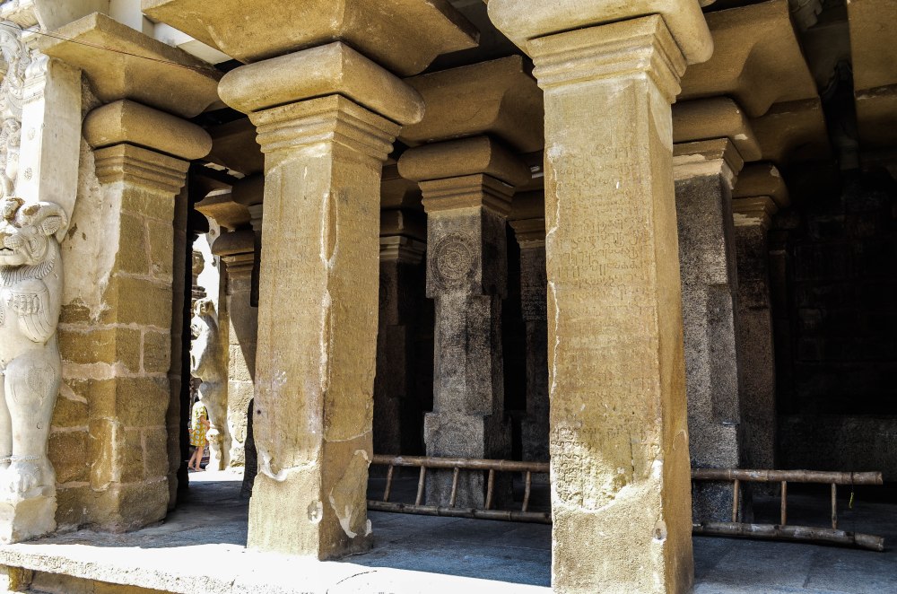
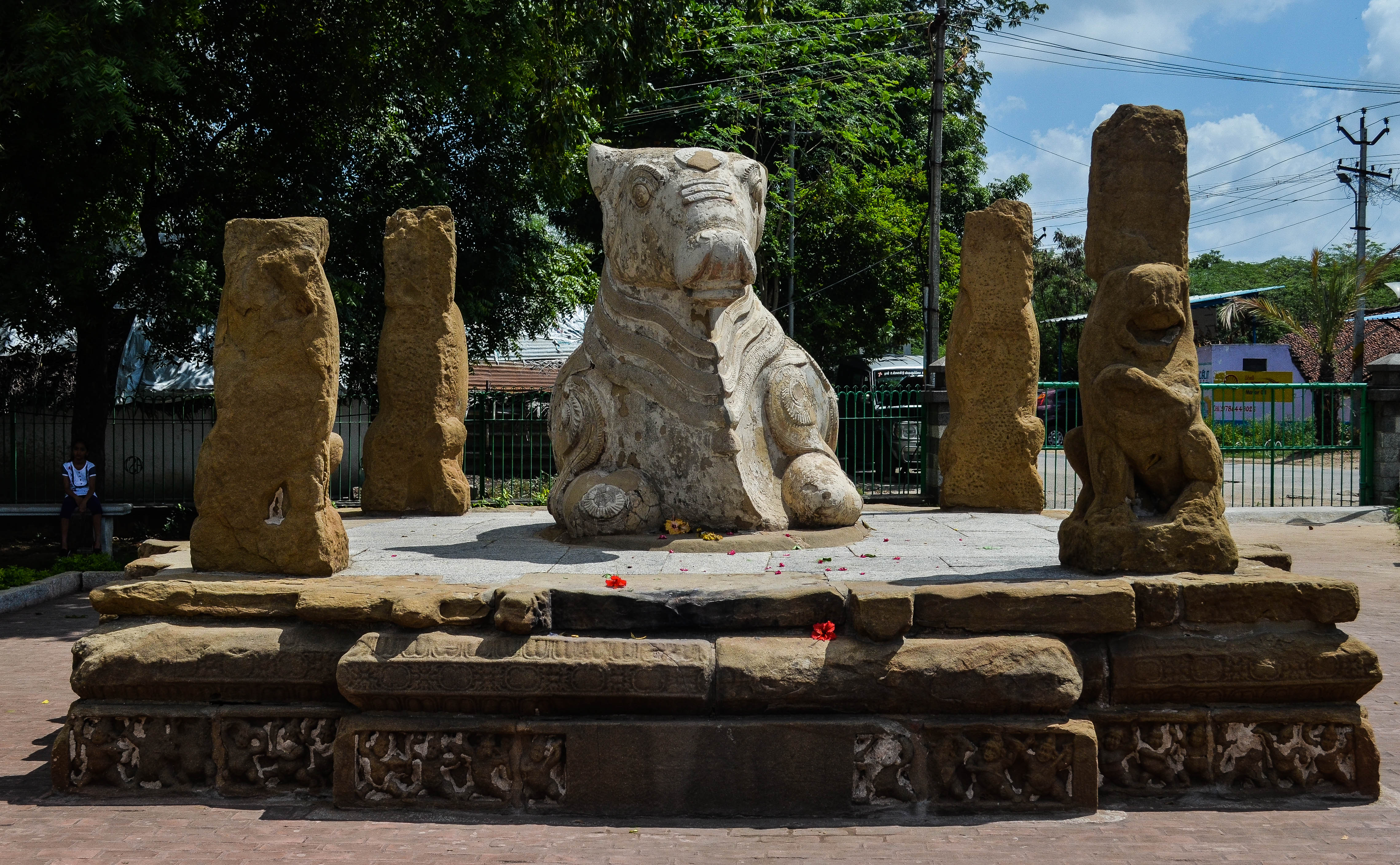
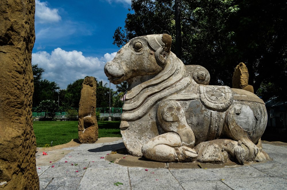

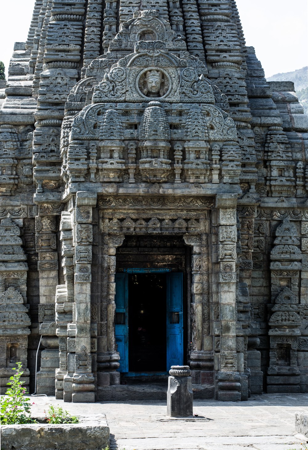
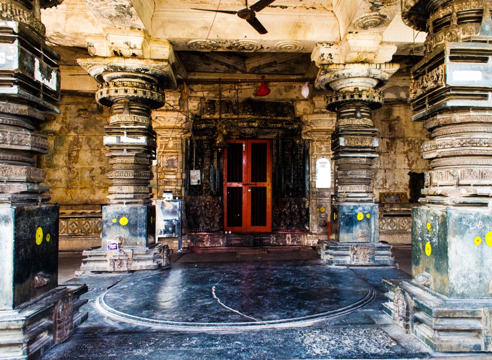
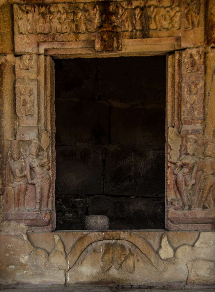
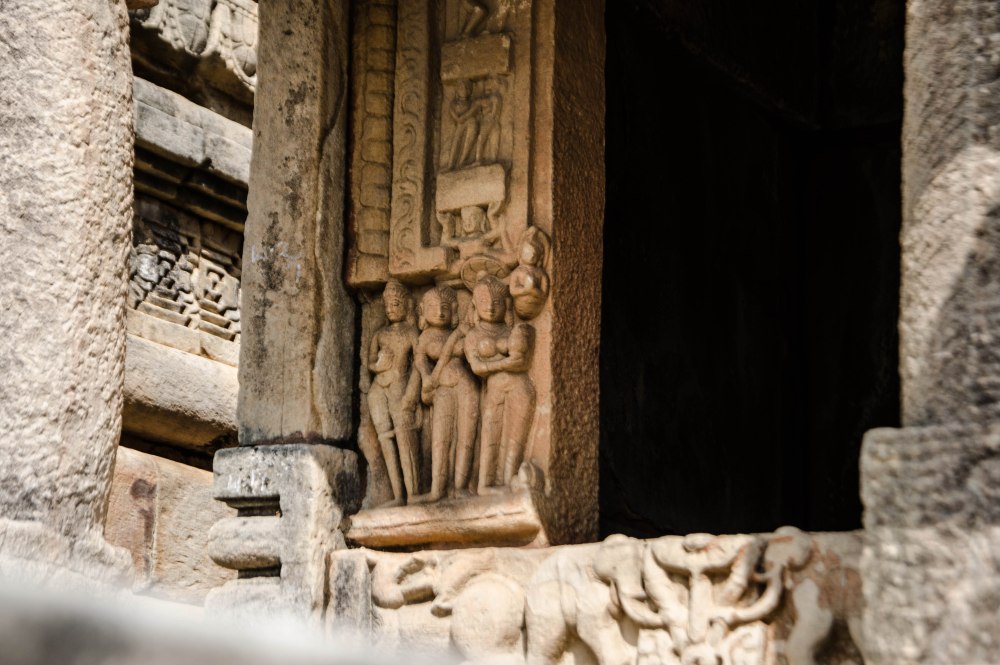
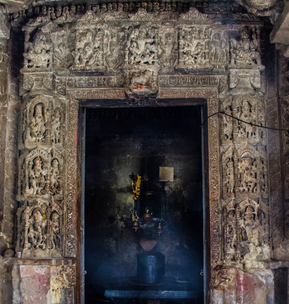
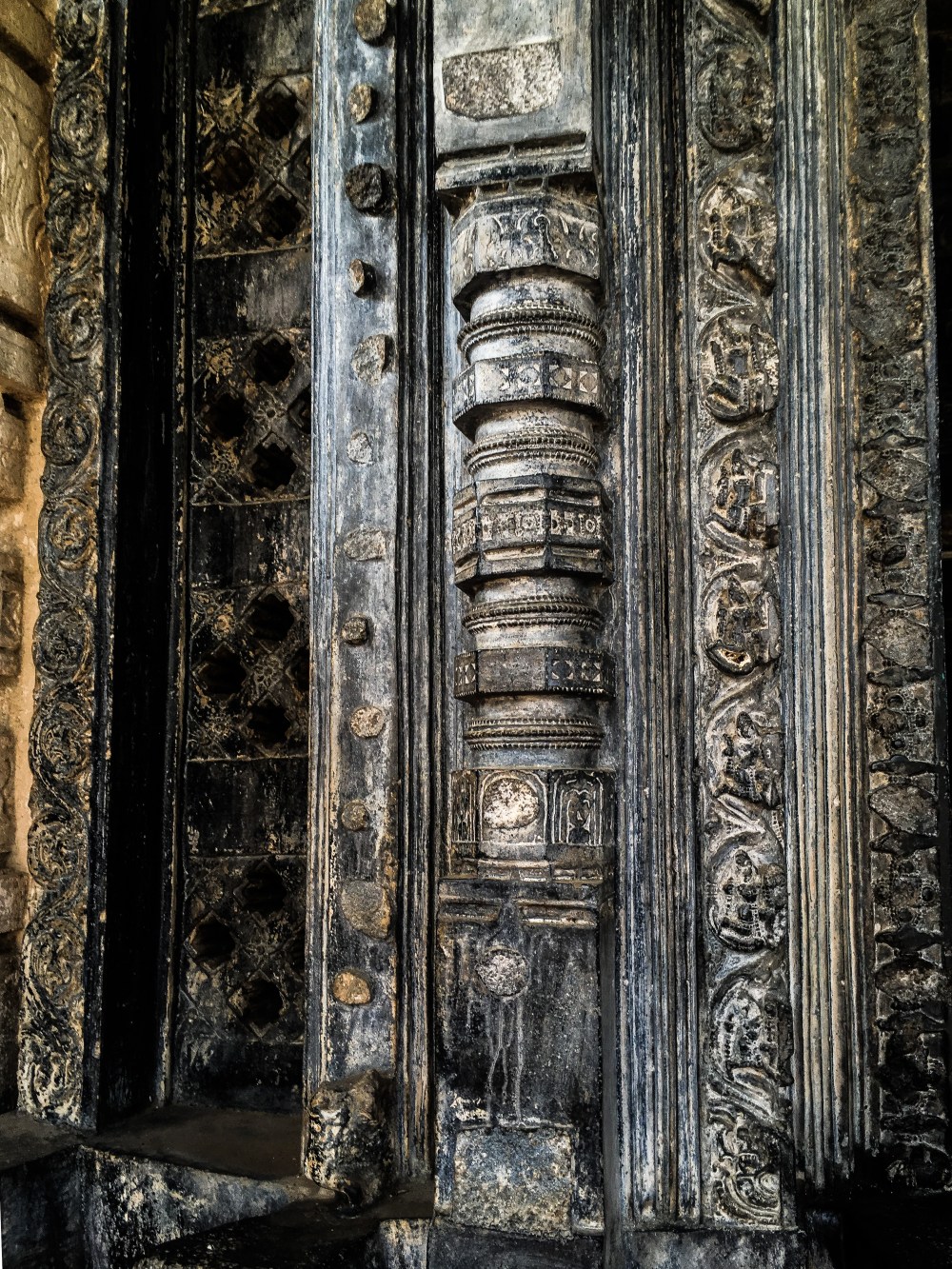
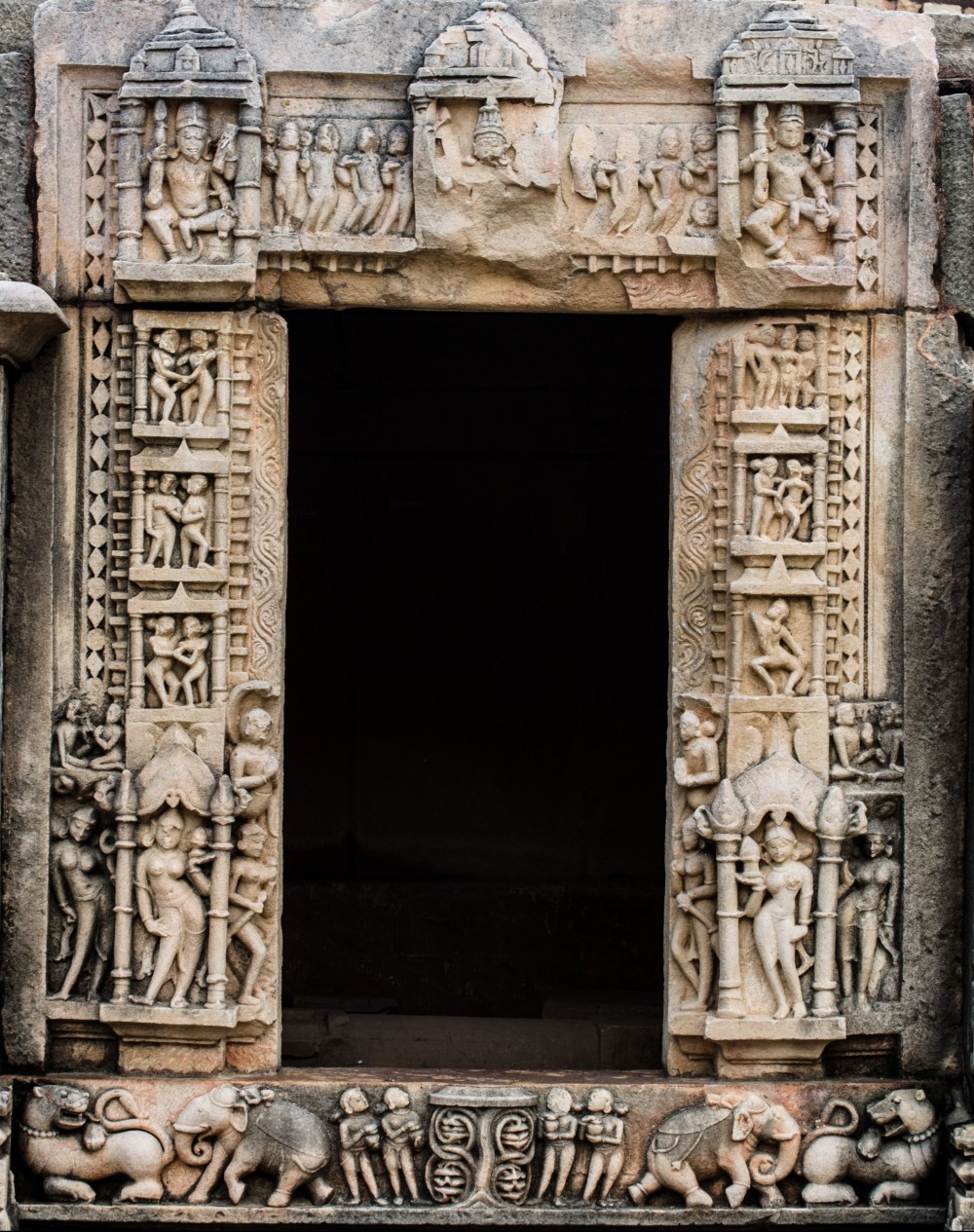
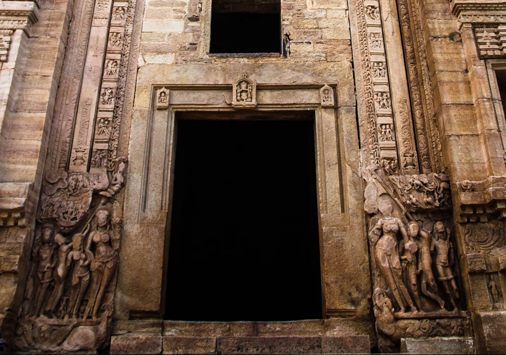 The two
river devis: Ganga stands on the right side of the door jamb on makara
(her vahana), while Yamuna is on the left side on a turtle (her vahana).
On their sides are their attendants, while the dwarapalas stand at the
two ends. The dwarapalas show the attributes of
the presiding deity inside the sanctum. The devis which rise from
heaven (the dark cell inside) give birth to and nurture new lives; while the
dwarapalas stand as protectors warding of all evil and preventing
contamination of the seed and embryo (garbha) of the temple. (Teli ka mandir, Gwalior fort)
The two
river devis: Ganga stands on the right side of the door jamb on makara
(her vahana), while Yamuna is on the left side on a turtle (her vahana).
On their sides are their attendants, while the dwarapalas stand at the
two ends. The dwarapalas show the attributes of
the presiding deity inside the sanctum. The devis which rise from
heaven (the dark cell inside) give birth to and nurture new lives; while the
dwarapalas stand as protectors warding of all evil and preventing
contamination of the seed and embryo (garbha) of the temple. (Teli ka mandir, Gwalior fort)


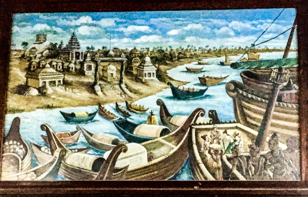
 the veracity of these old travellers’ accounts. However, during the
2004 tsunami there were briefly exposed many rock cut temples,
inscriptions, the “elaborately sculpted head of an elephant and a horse
in flight… a small niche with a statue of a deity… another rock with a
reclining lion” which appeared out of the water (Holden, 2005). Post
2004, archaeologists with underwater diving teams have explored a
site 700 m east of Shore temple (at 6 metre water depth), and found
ruined walls, sculptures, blocks of rectangular stones laid parallel to
the shoreline, and the remains of forty other monuments (Sundaresh et
al, 2014, 1167-1176). From these findings there is now a line of thought
that believes the old city of Mahabalipuram is now partially under the
sea.
the veracity of these old travellers’ accounts. However, during the
2004 tsunami there were briefly exposed many rock cut temples,
inscriptions, the “elaborately sculpted head of an elephant and a horse
in flight… a small niche with a statue of a deity… another rock with a
reclining lion” which appeared out of the water (Holden, 2005). Post
2004, archaeologists with underwater diving teams have explored a
site 700 m east of Shore temple (at 6 metre water depth), and found
ruined walls, sculptures, blocks of rectangular stones laid parallel to
the shoreline, and the remains of forty other monuments (Sundaresh et
al, 2014, 1167-1176). From these findings there is now a line of thought
that believes the old city of Mahabalipuram is now partially under the
sea.


 Rajasimha/Narasimhavarman II (700 – 728 CE) and can be considered as
the oldest structural temple of importance in South India. The two
temples have three sanctums dedicated to Shiva and Vishnu. The aspects
that first catch one’s eyes while viewing this temple are the low
prakara (wall) with Nandis sitting on it in a line, and the tall
pyramidal shikharas with octagonal domes on top. The Shore Temple stands
facing the Bay of Bengal, and owing to this it has faced considerable
erosion of sculptures and the superstructure over the centuries.
Rajasimha/Narasimhavarman II (700 – 728 CE) and can be considered as
the oldest structural temple of importance in South India. The two
temples have three sanctums dedicated to Shiva and Vishnu. The aspects
that first catch one’s eyes while viewing this temple are the low
prakara (wall) with Nandis sitting on it in a line, and the tall
pyramidal shikharas with octagonal domes on top. The Shore Temple stands
facing the Bay of Bengal, and owing to this it has faced considerable
erosion of sculptures and the superstructure over the centuries.
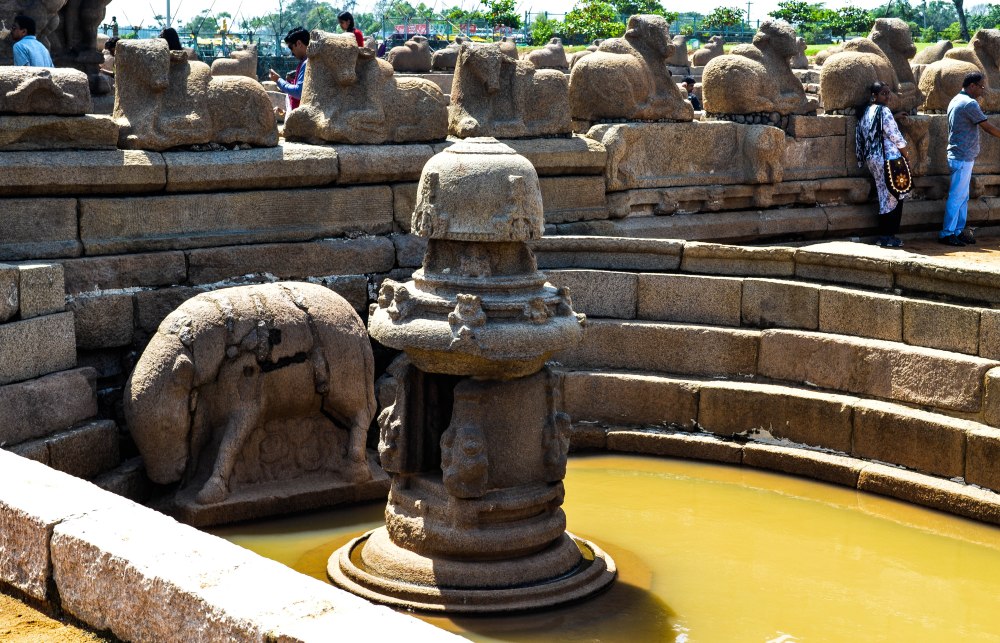


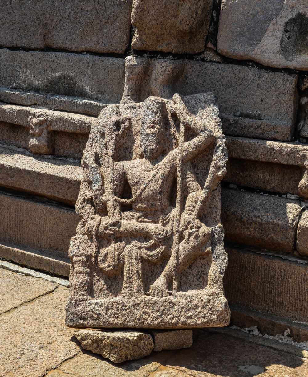

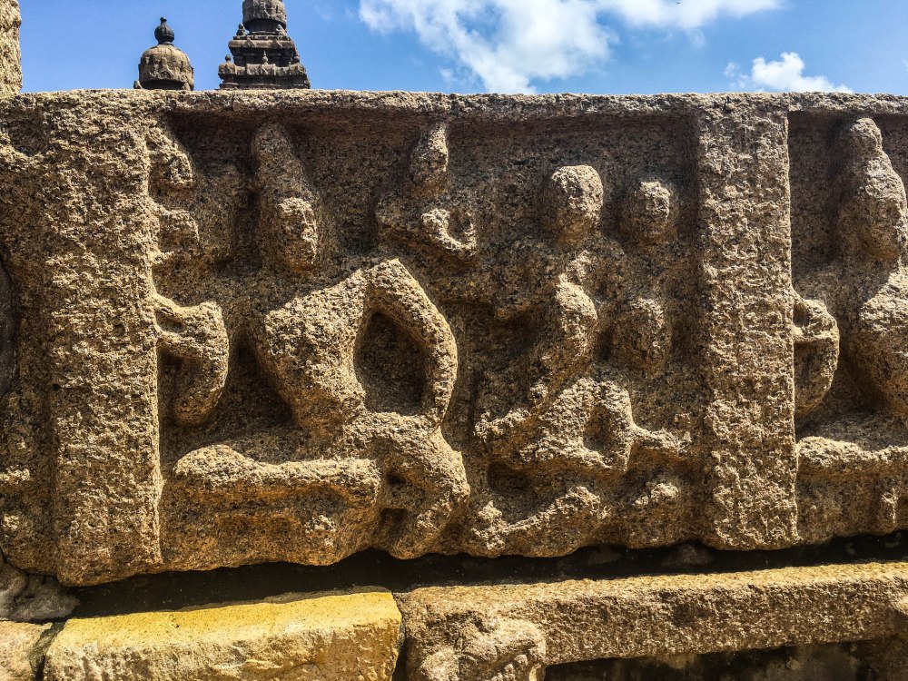
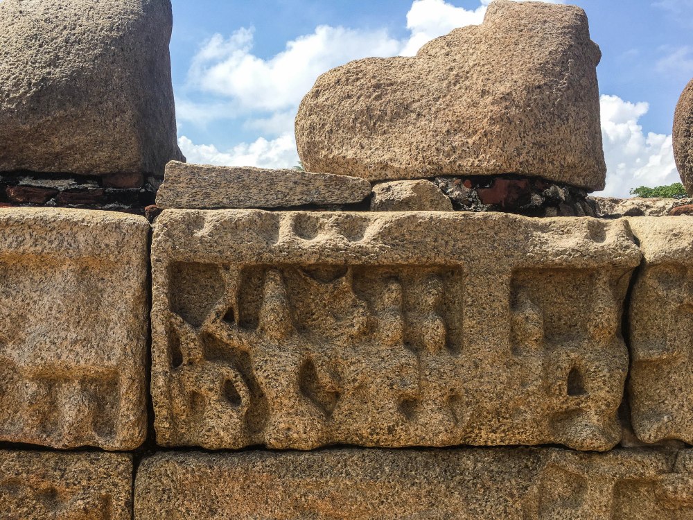
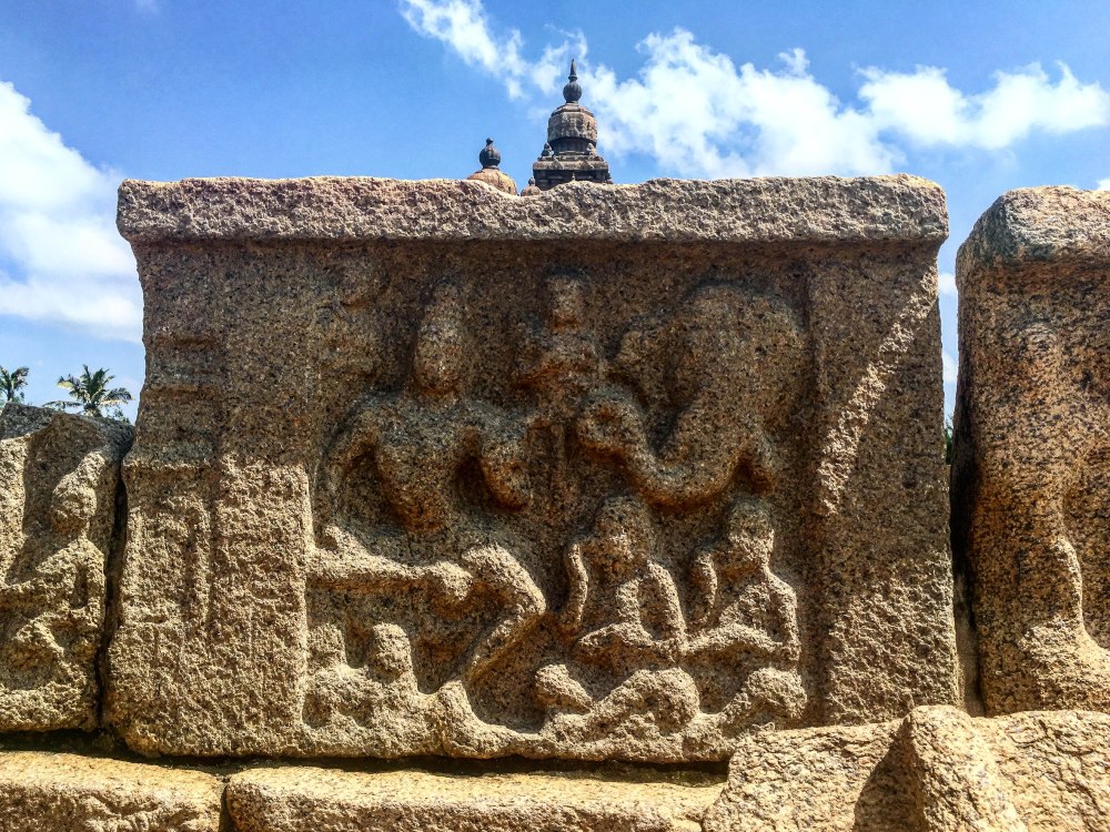
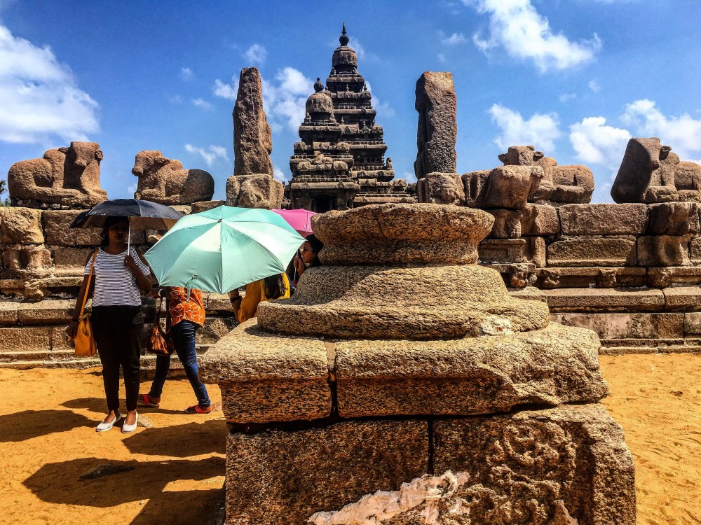


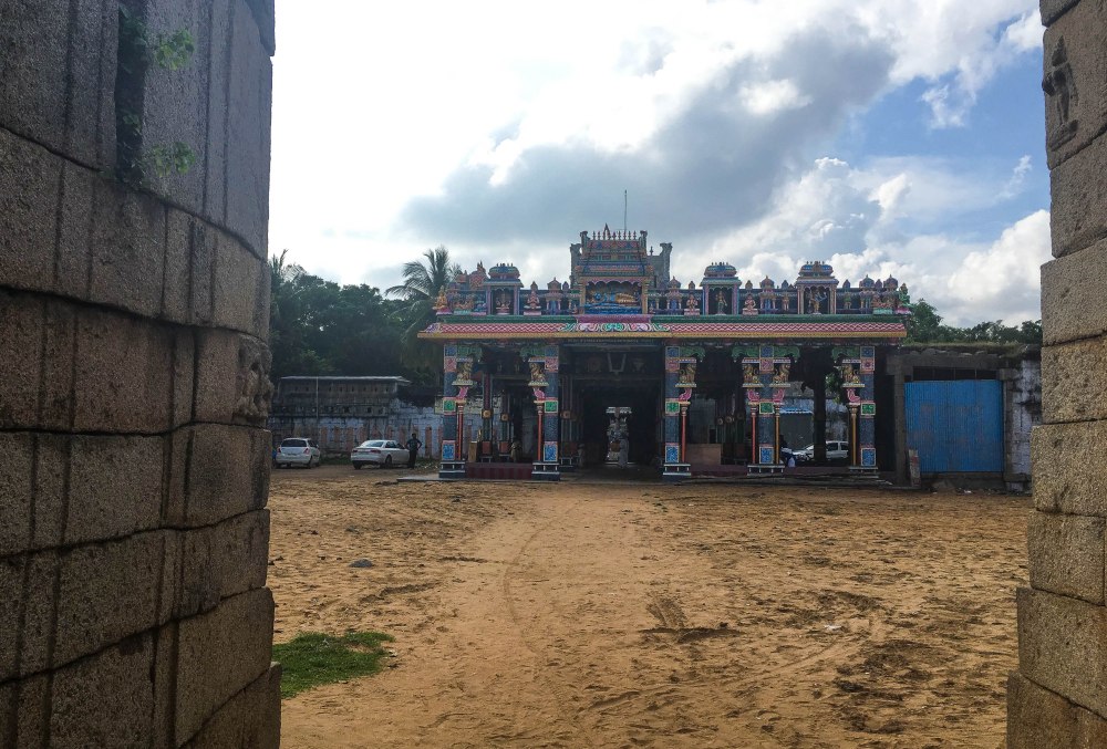
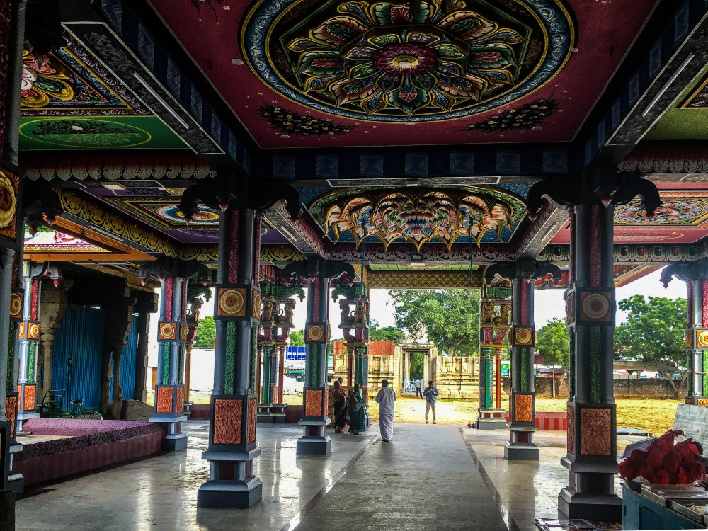

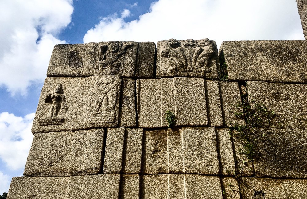

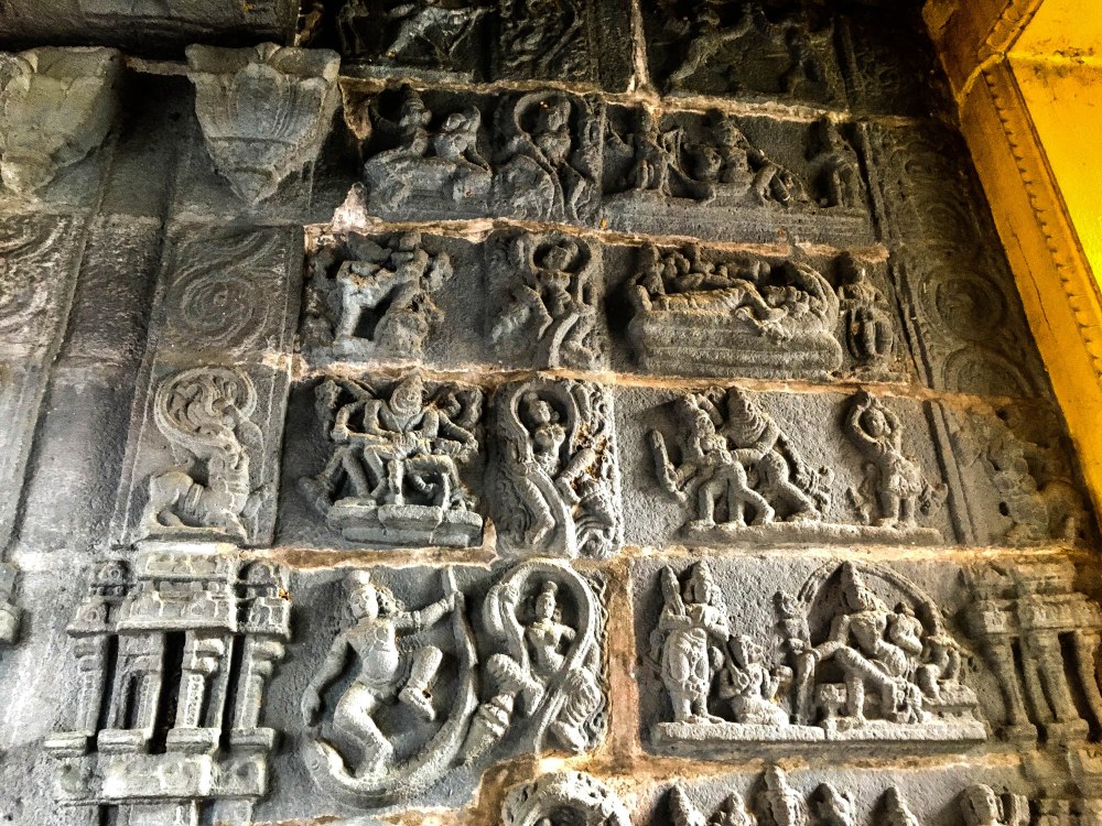


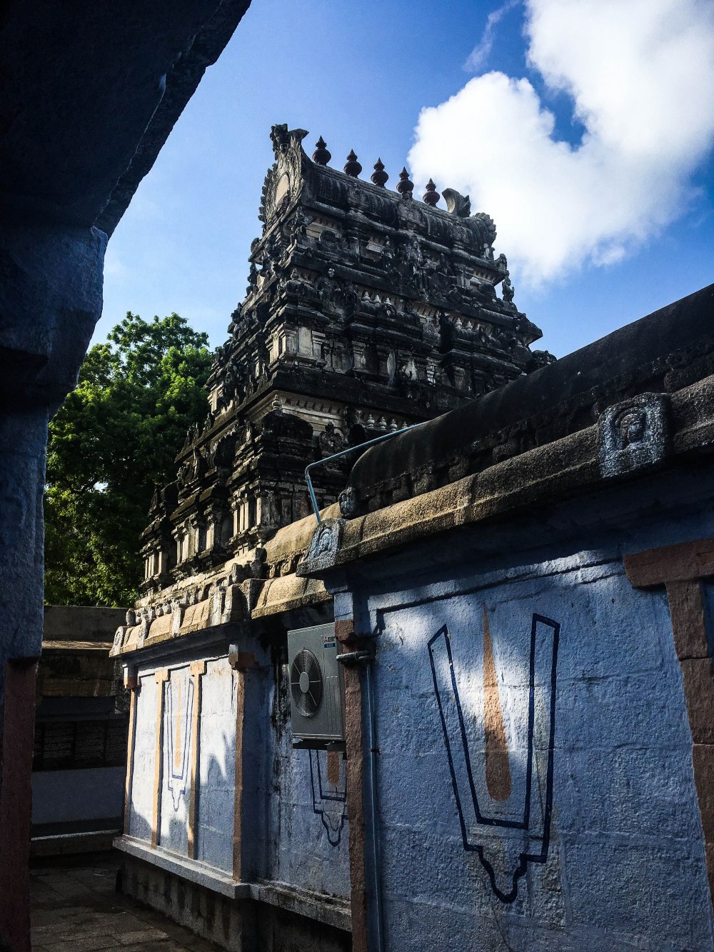


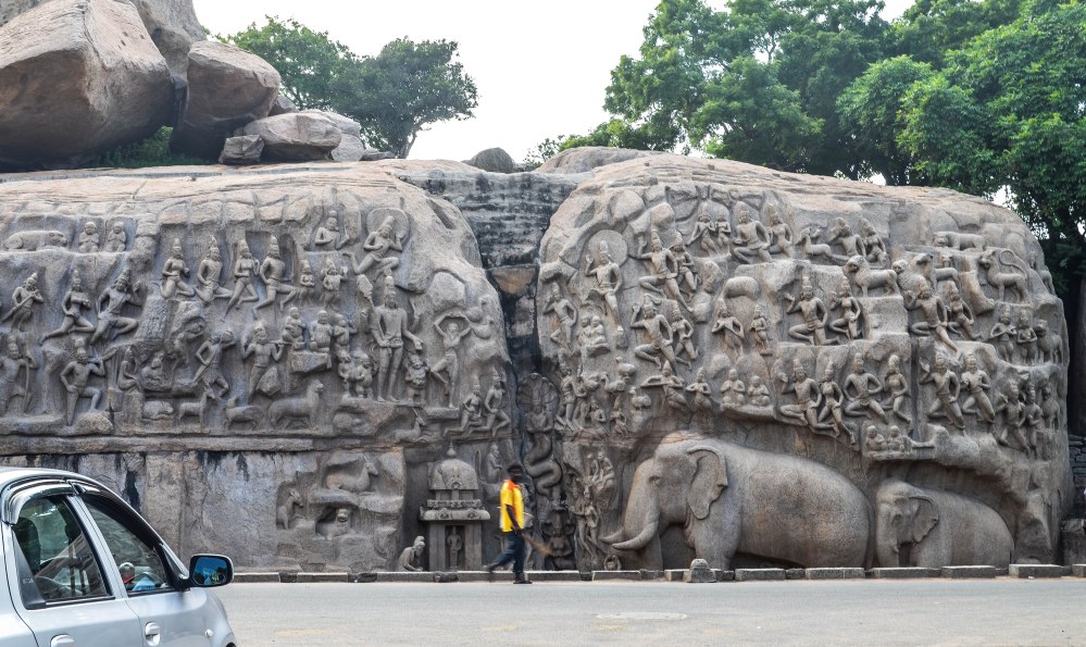
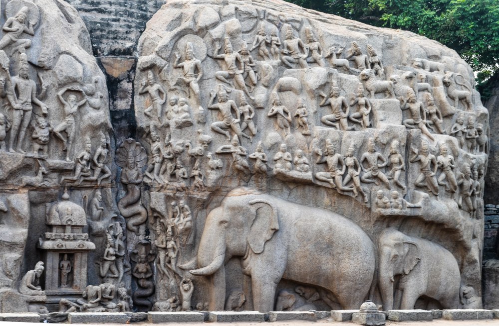


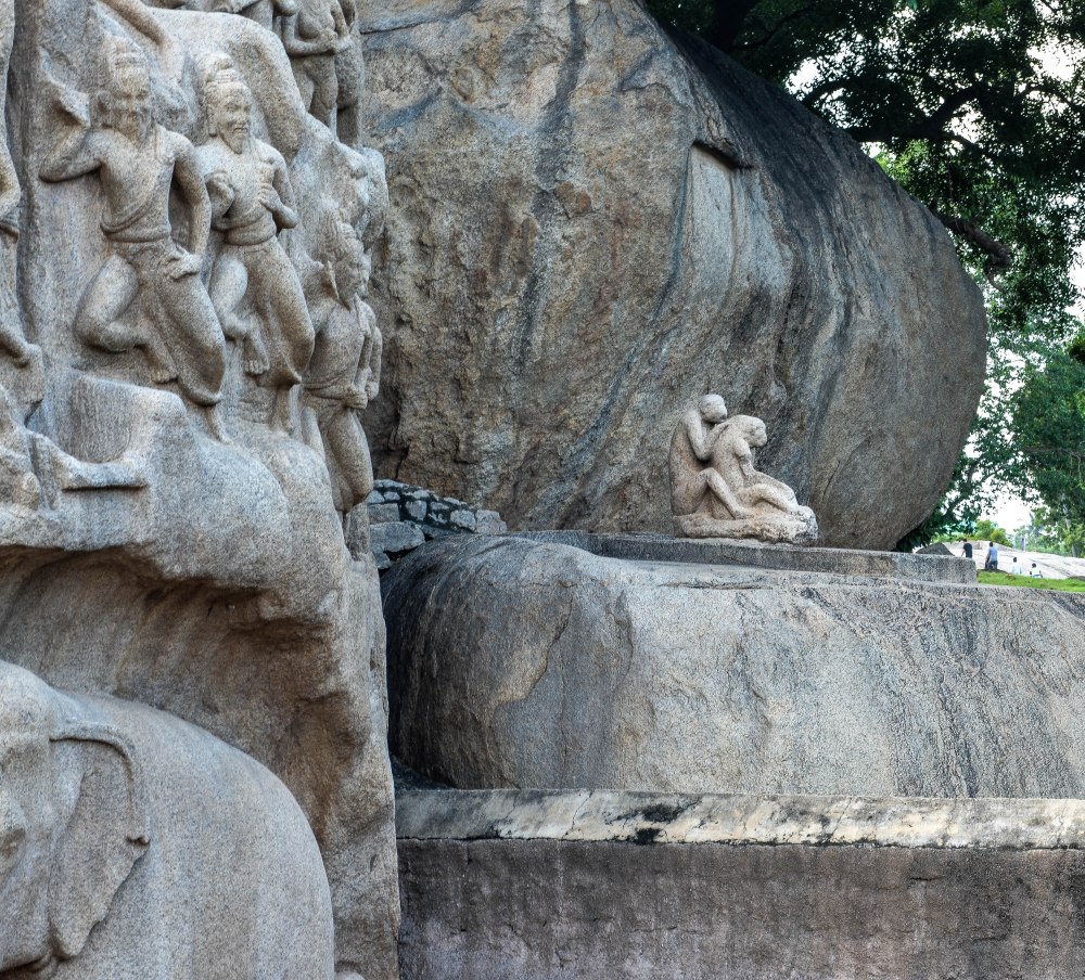
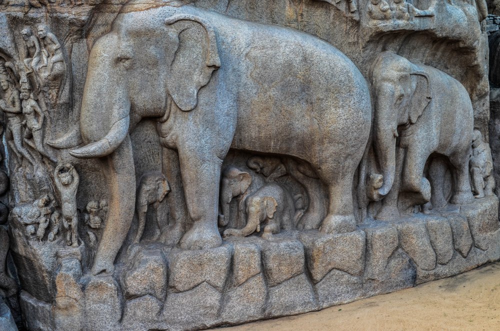
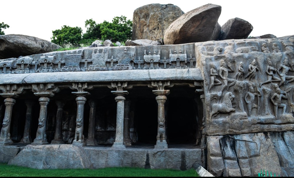
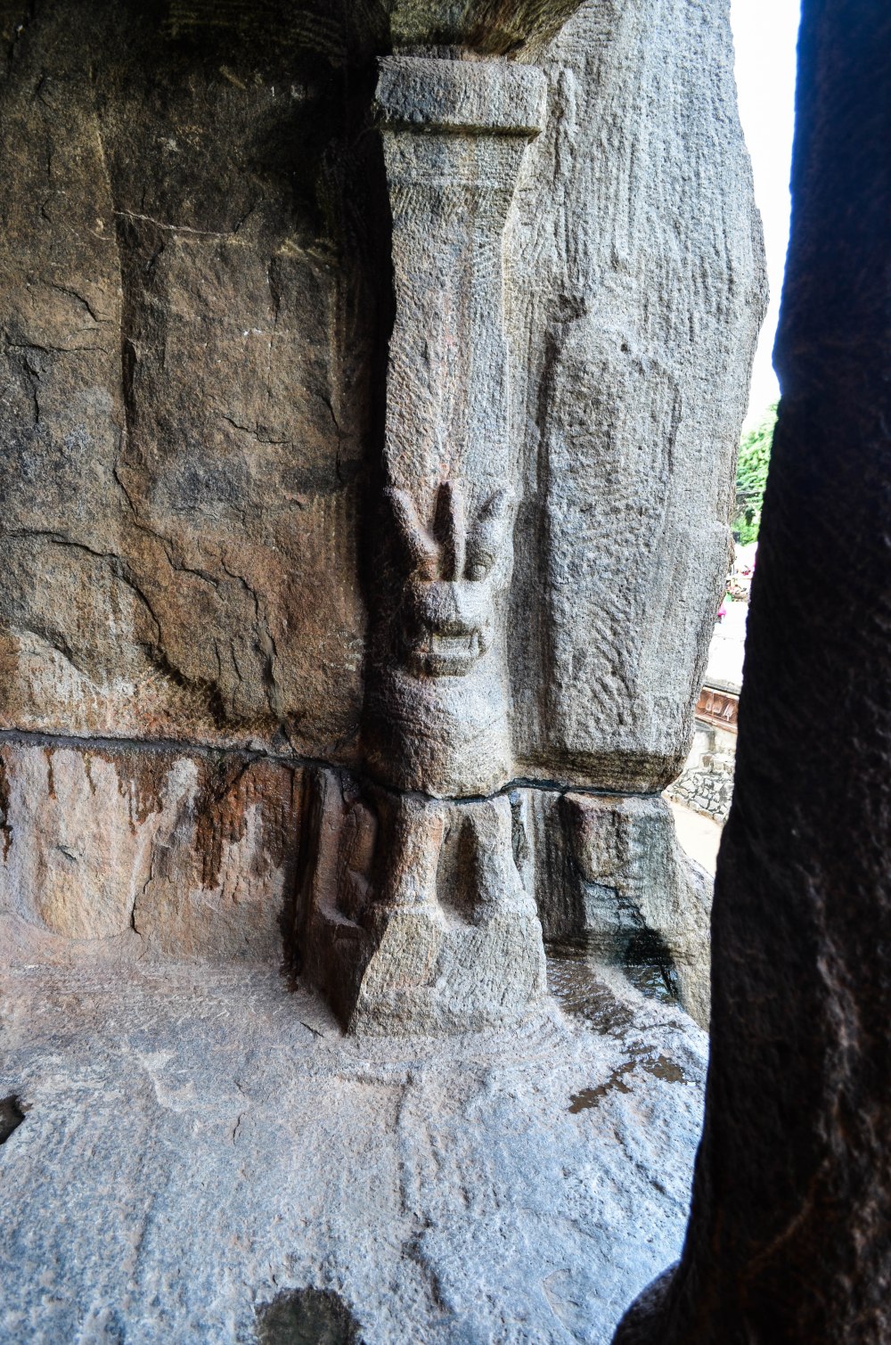
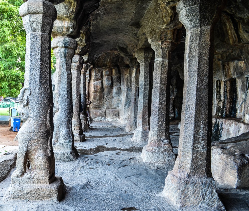
 Kanchipuram,
after the decline of their overlords, the Satavahanas. The early
Pallavas were seafaring in nature, and they spread their culture in many
parts of what is now known as the South East Asia. Many ancient
inscriptions from these parts written in the Pallava-Grantha script
clearly establish the early connections, while the early sculptures from
these places also show a remarkable influence of the Pallavan style.
Kanchipuram,
after the decline of their overlords, the Satavahanas. The early
Pallavas were seafaring in nature, and they spread their culture in many
parts of what is now known as the South East Asia. Many ancient
inscriptions from these parts written in the Pallava-Grantha script
clearly establish the early connections, while the early sculptures from
these places also show a remarkable influence of the Pallavan style.


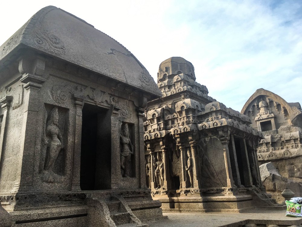


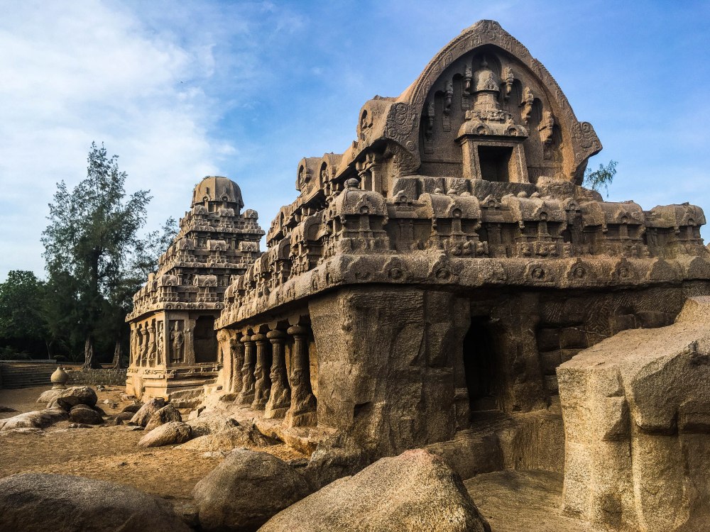
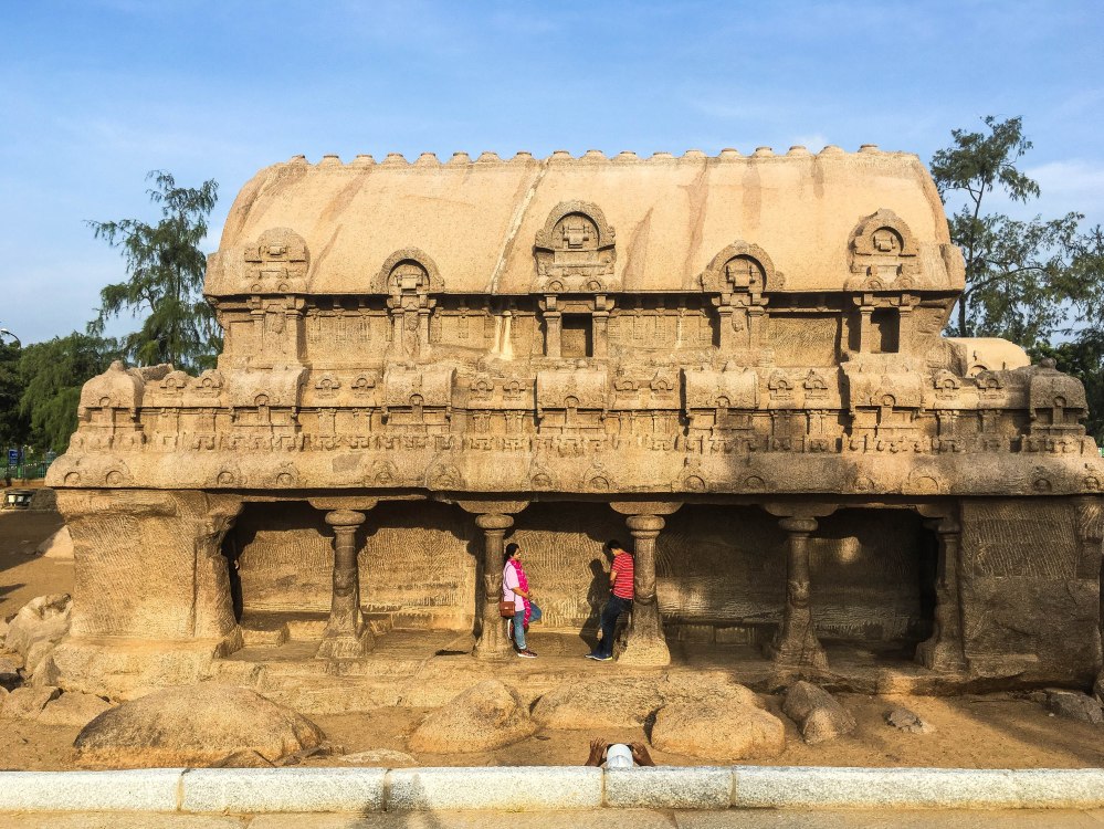
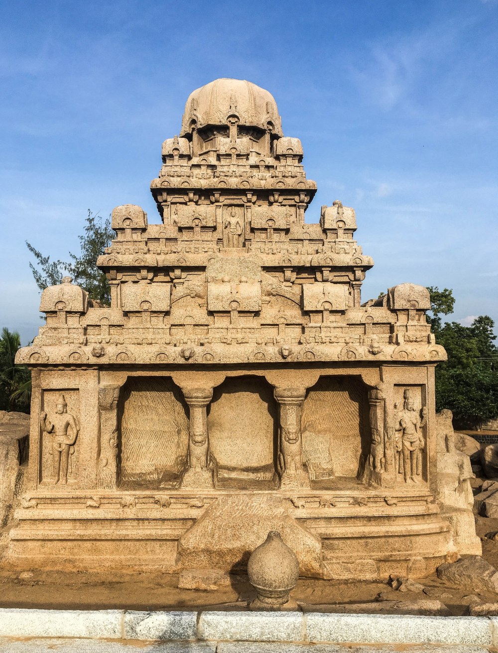
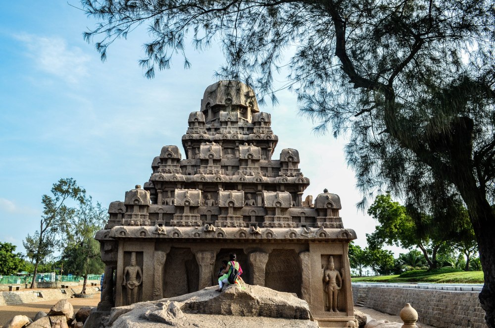
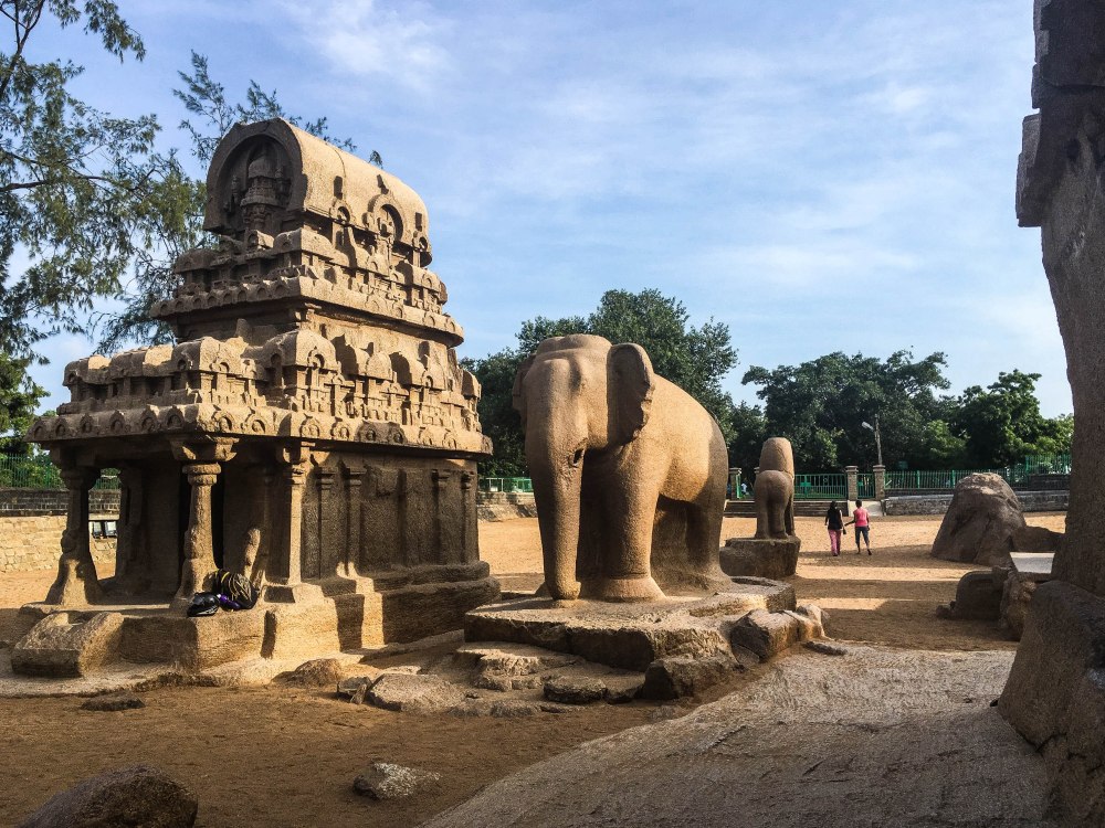

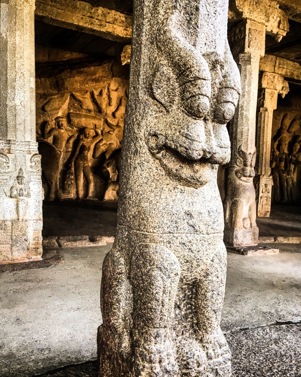

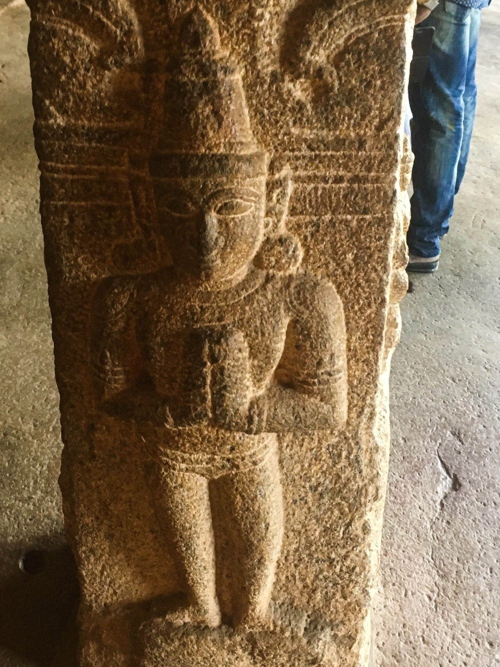
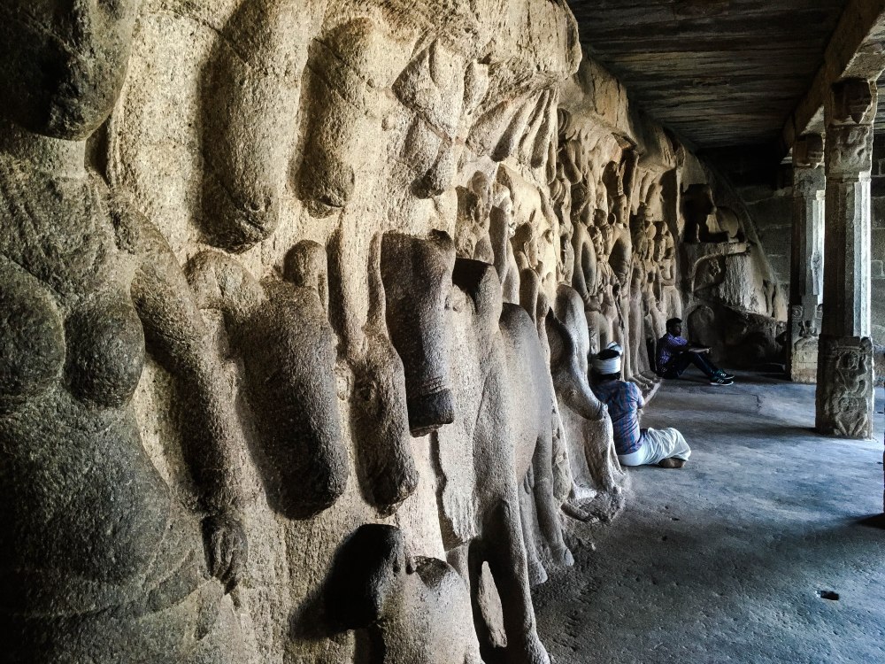
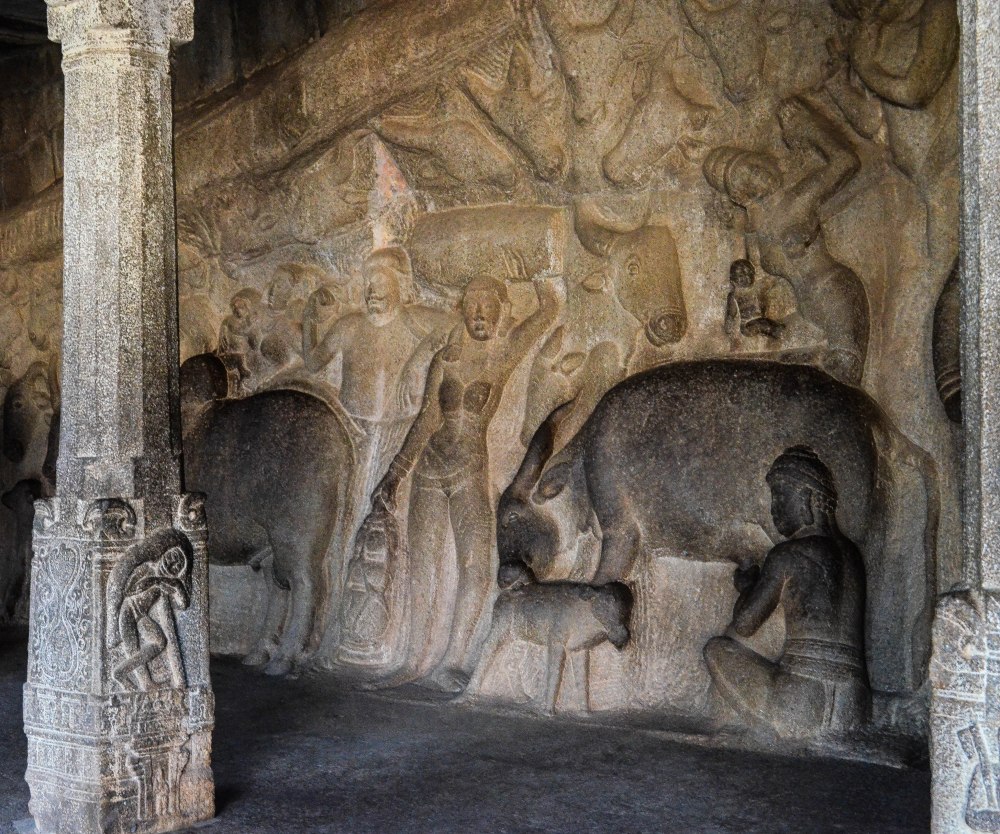

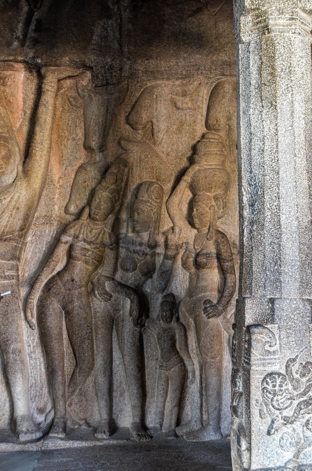

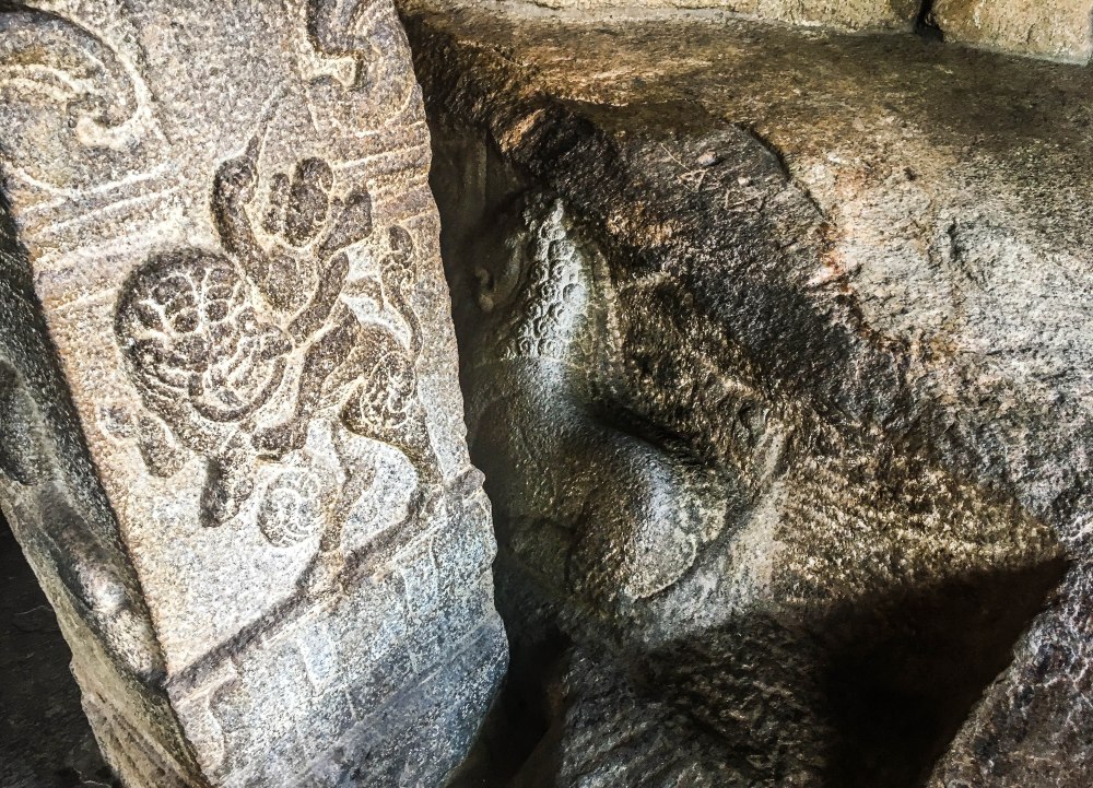


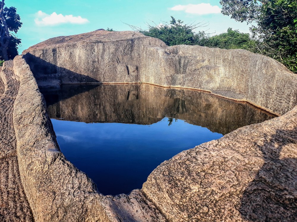
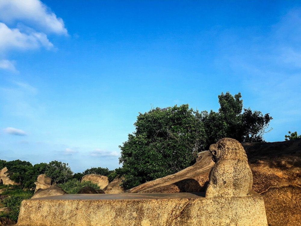
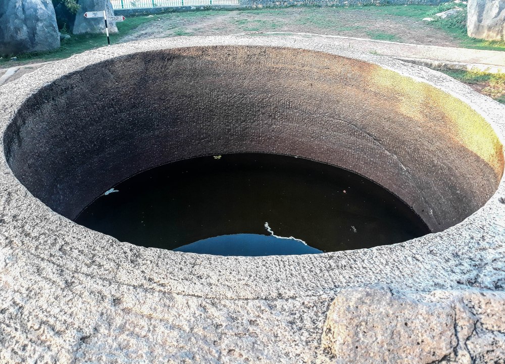
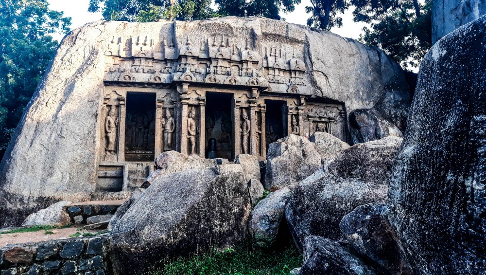

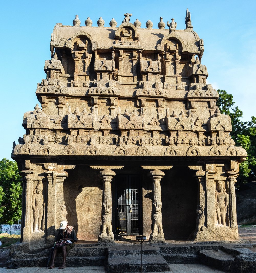
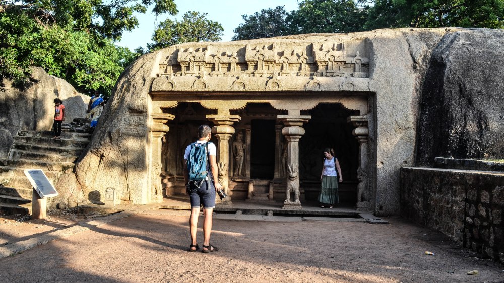
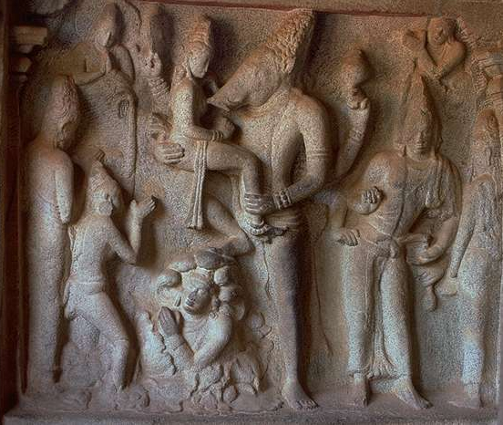


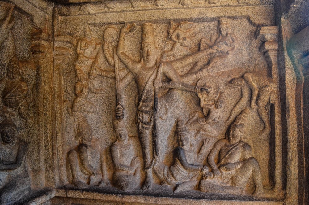
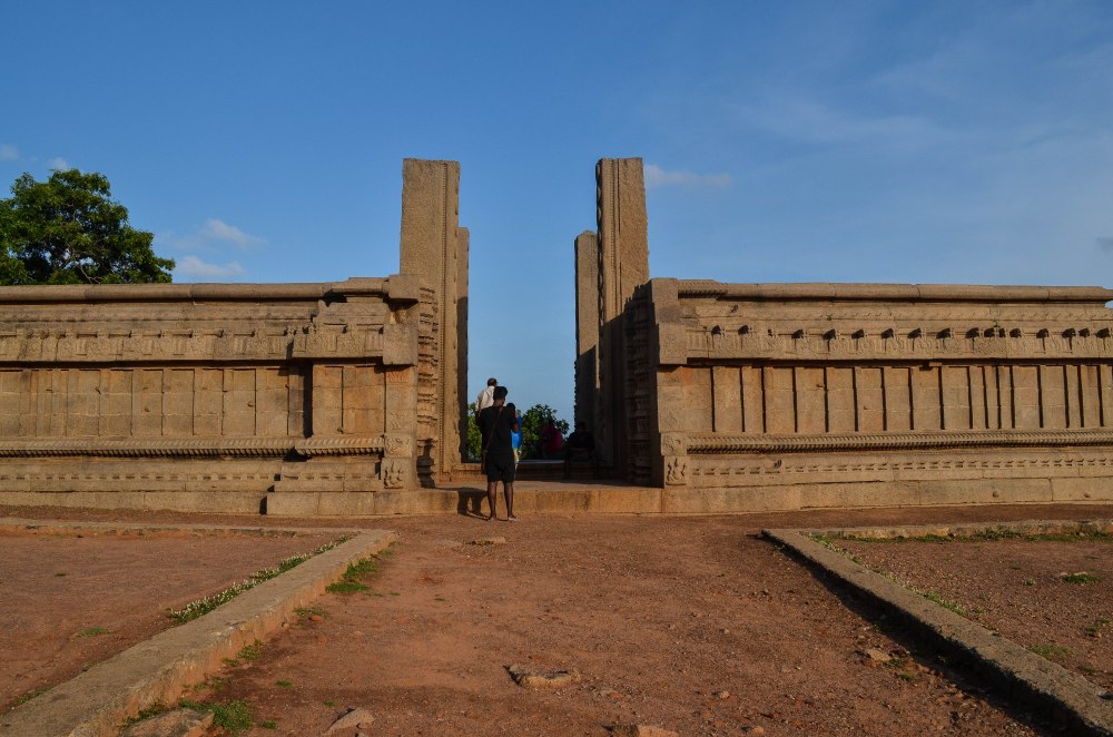
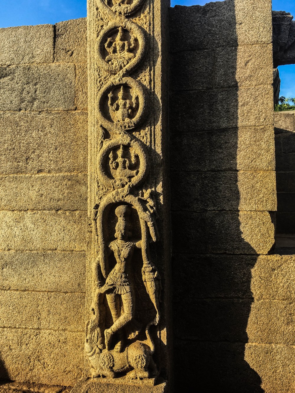


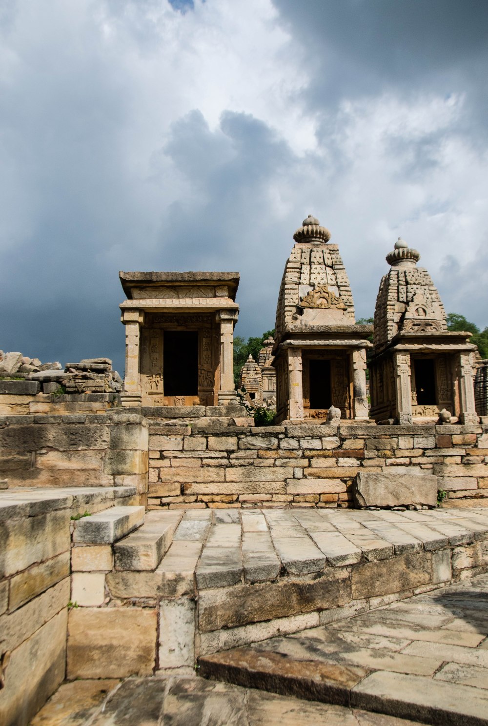


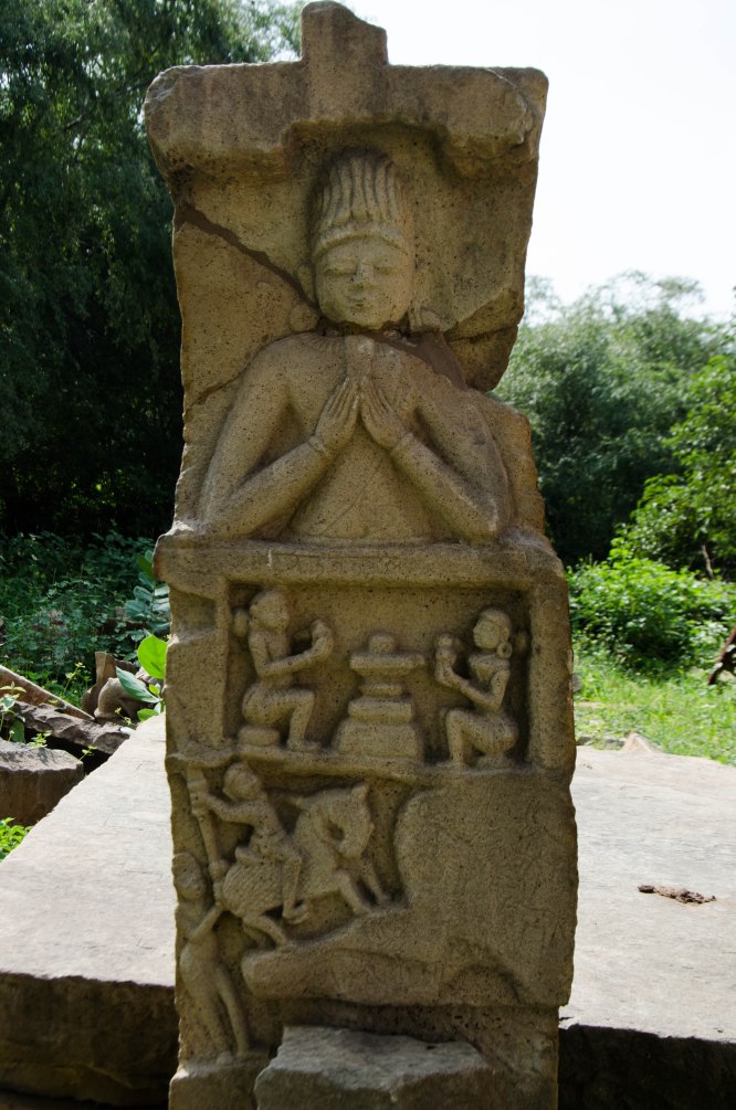
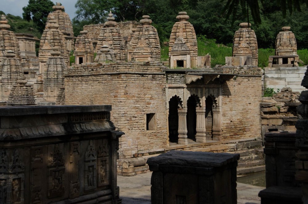
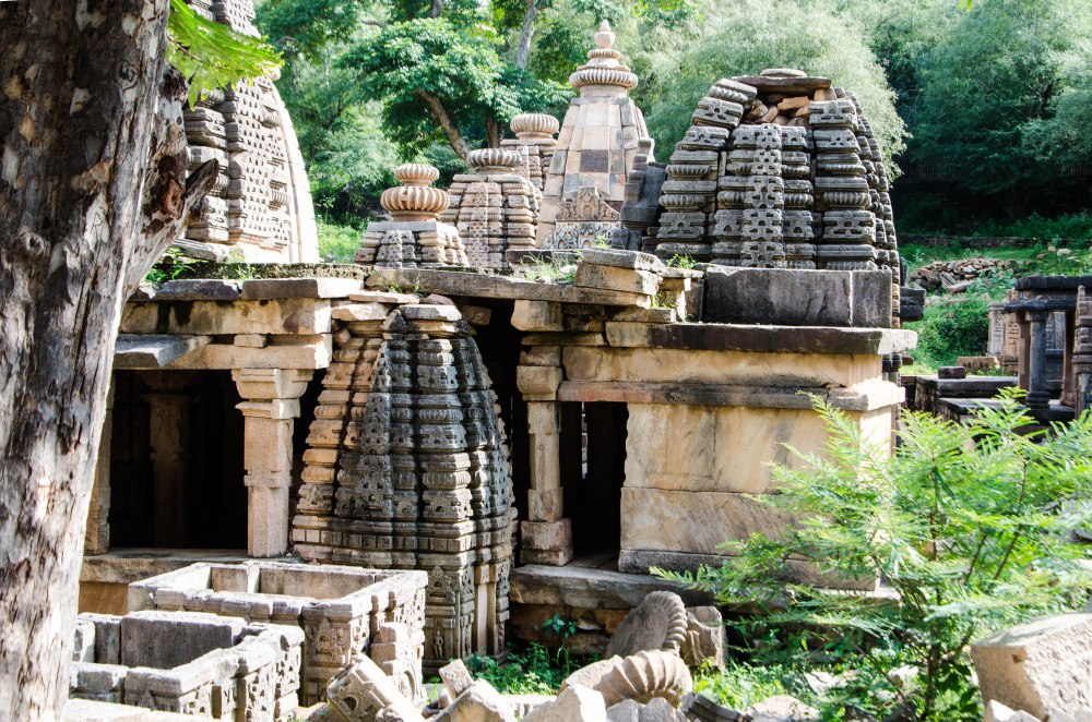
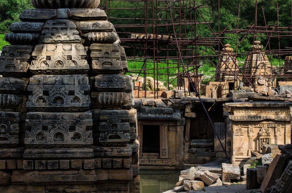

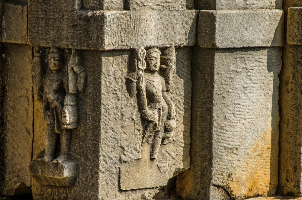
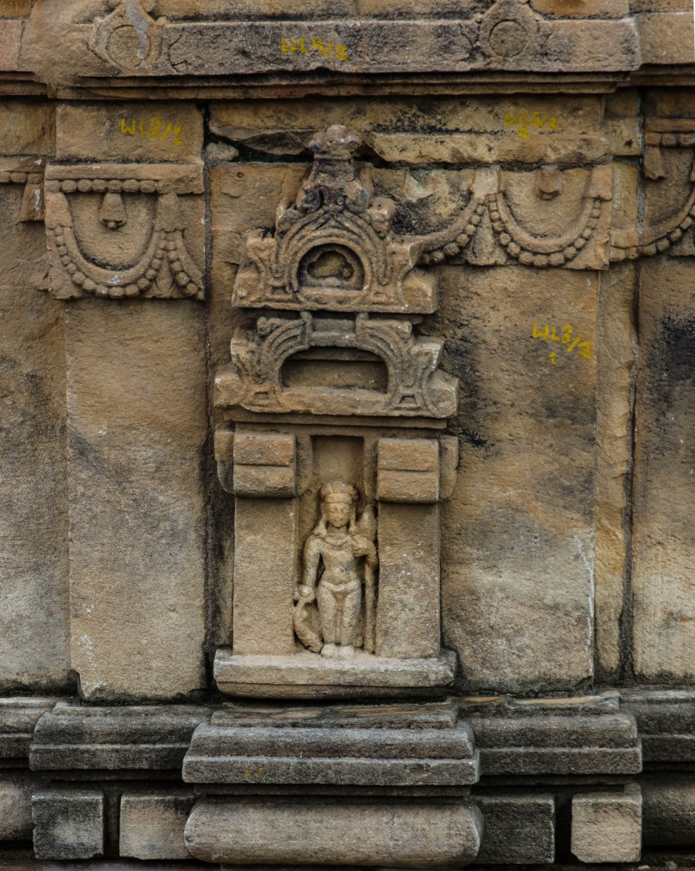
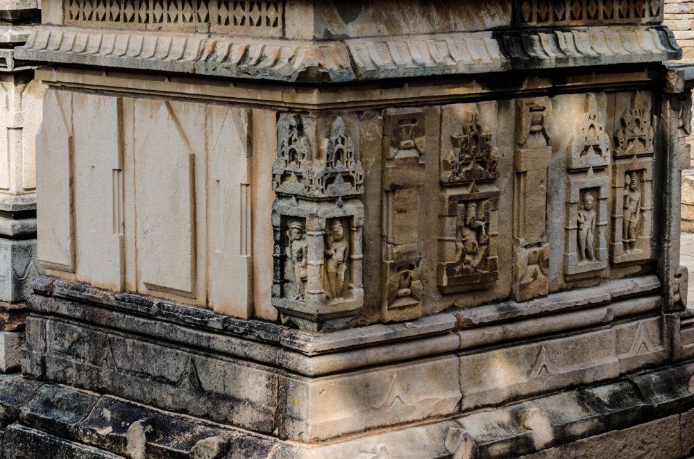
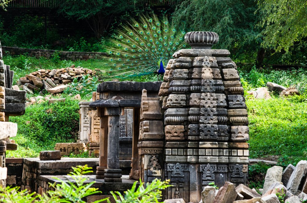
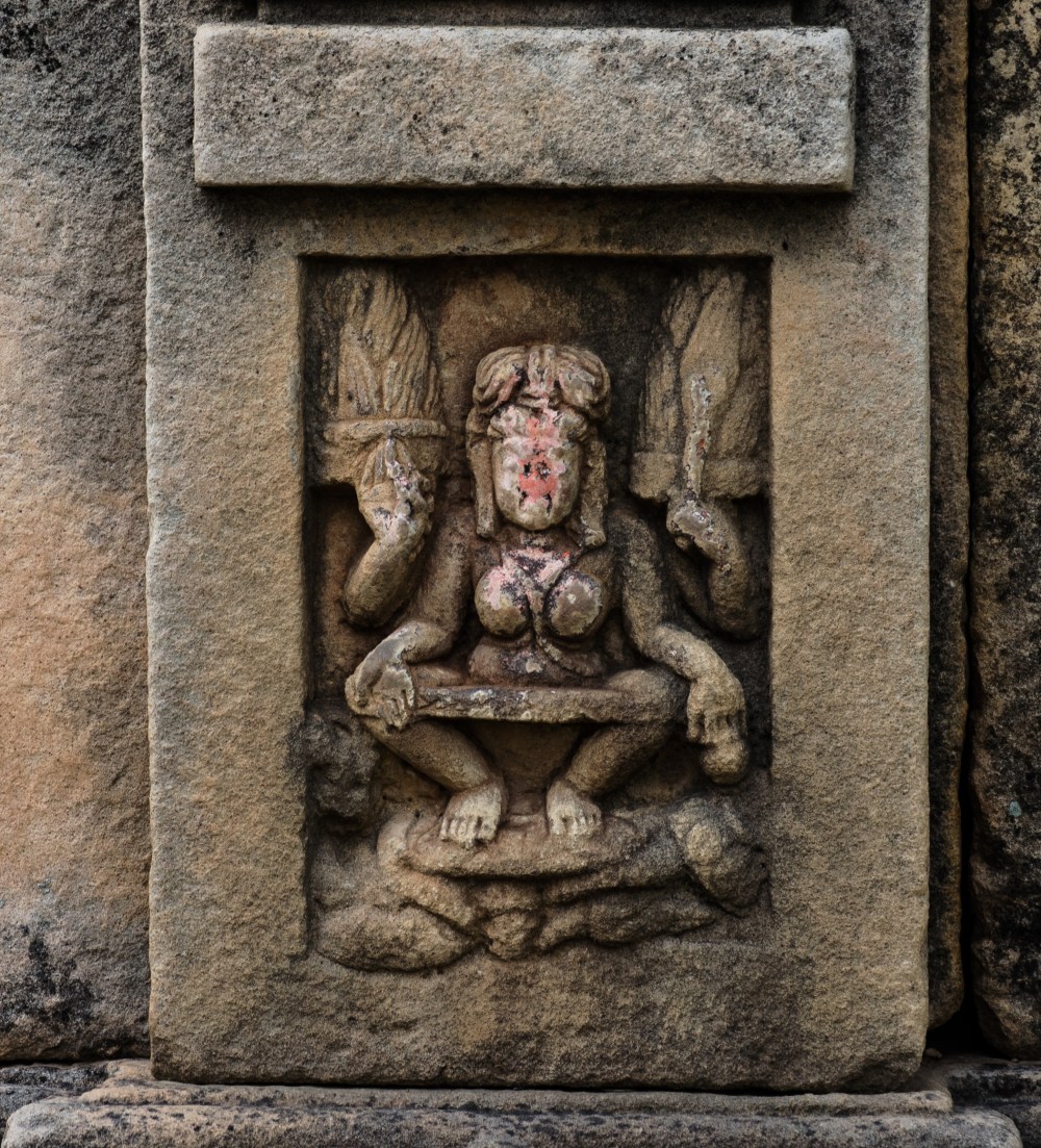
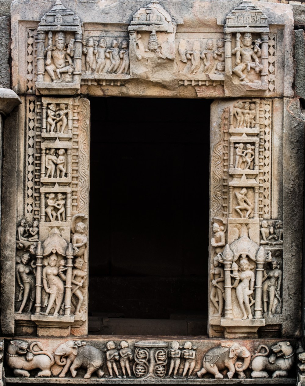
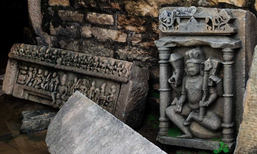

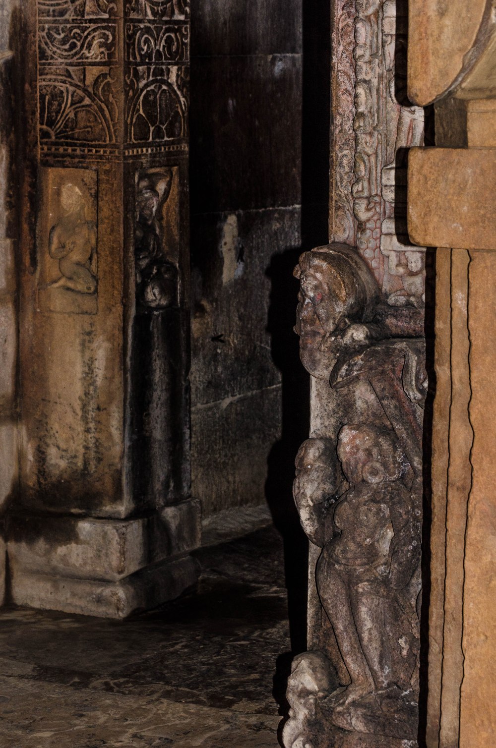
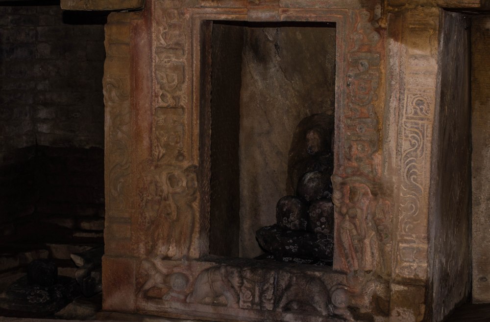
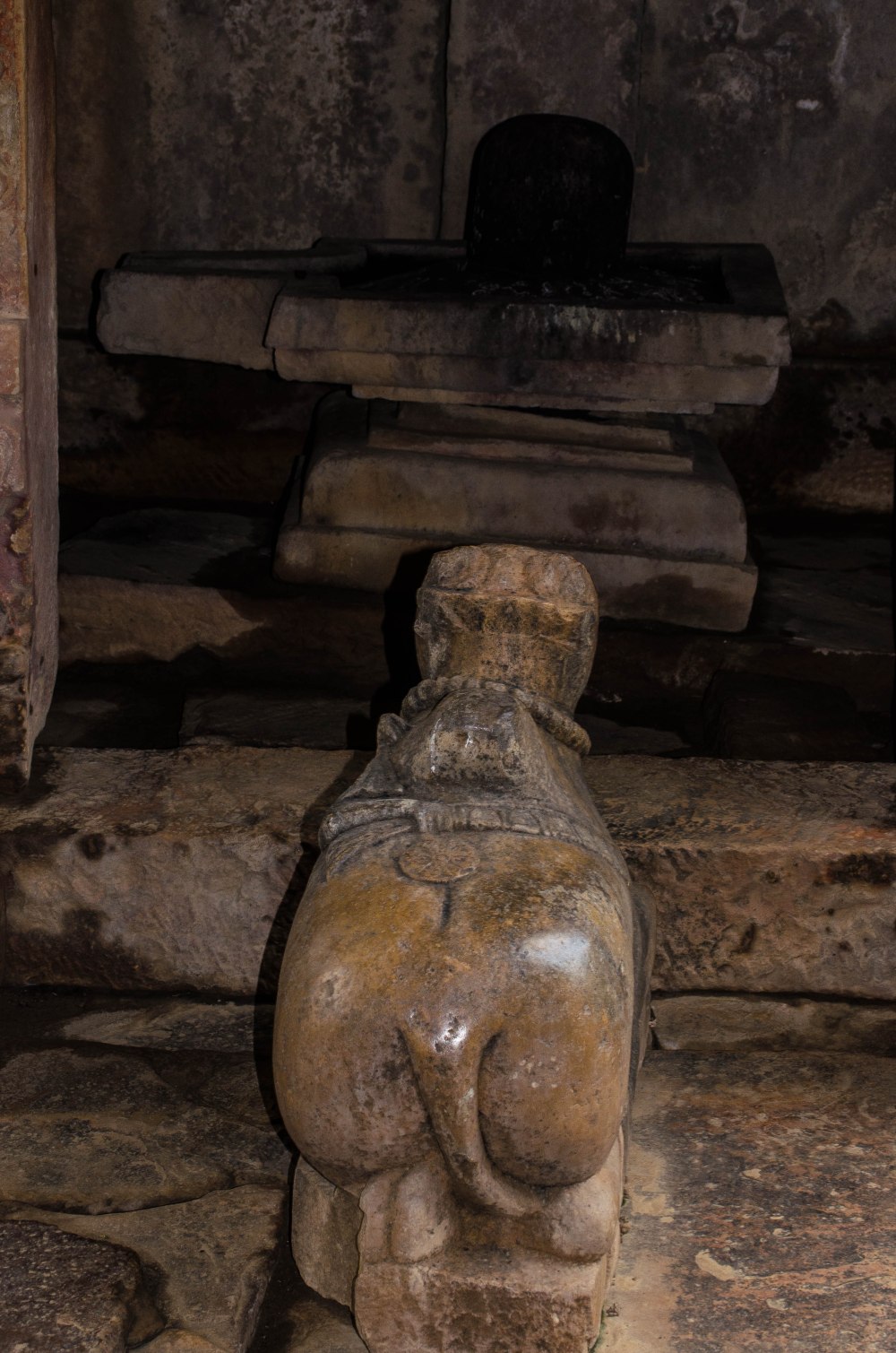

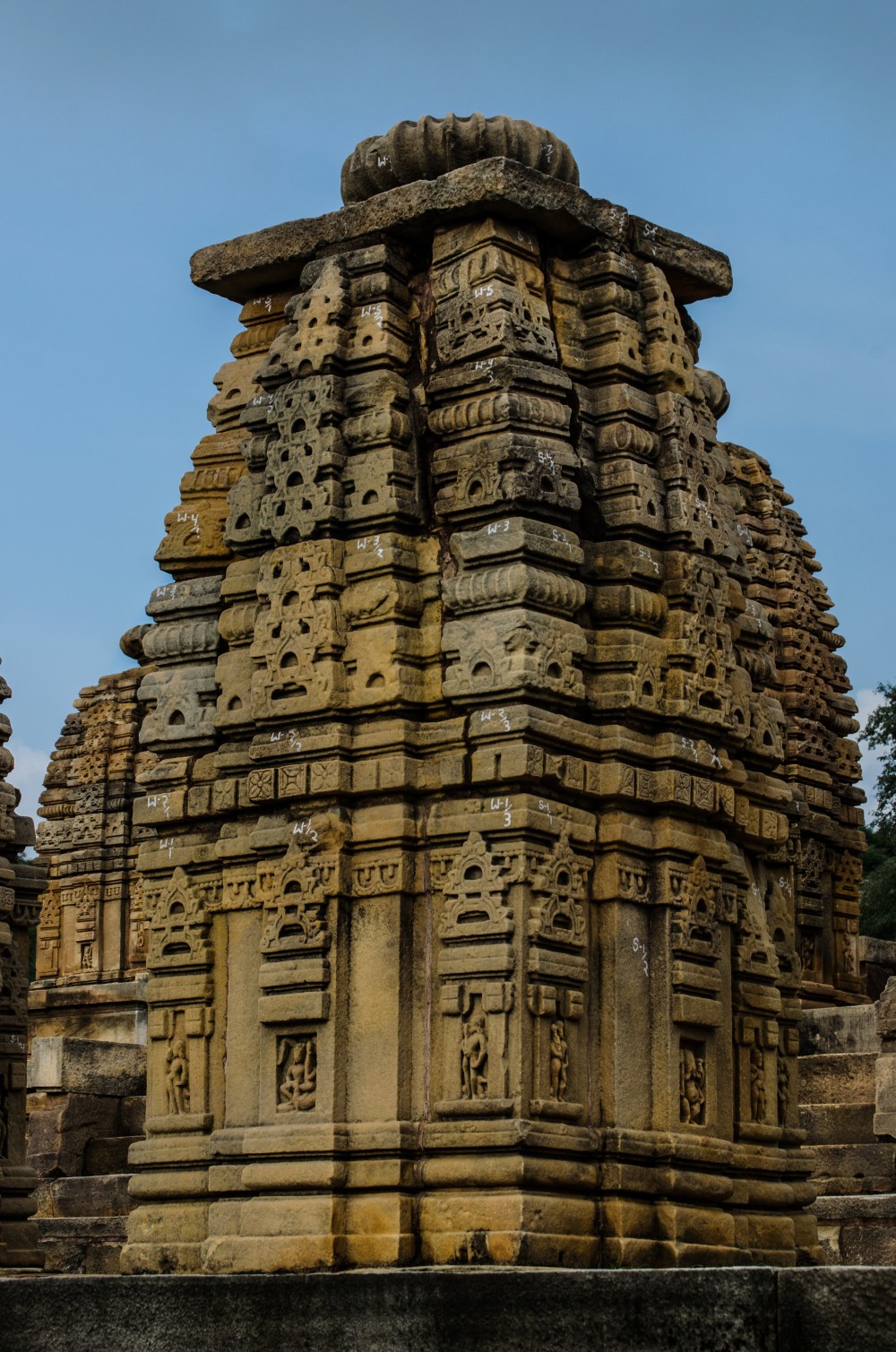
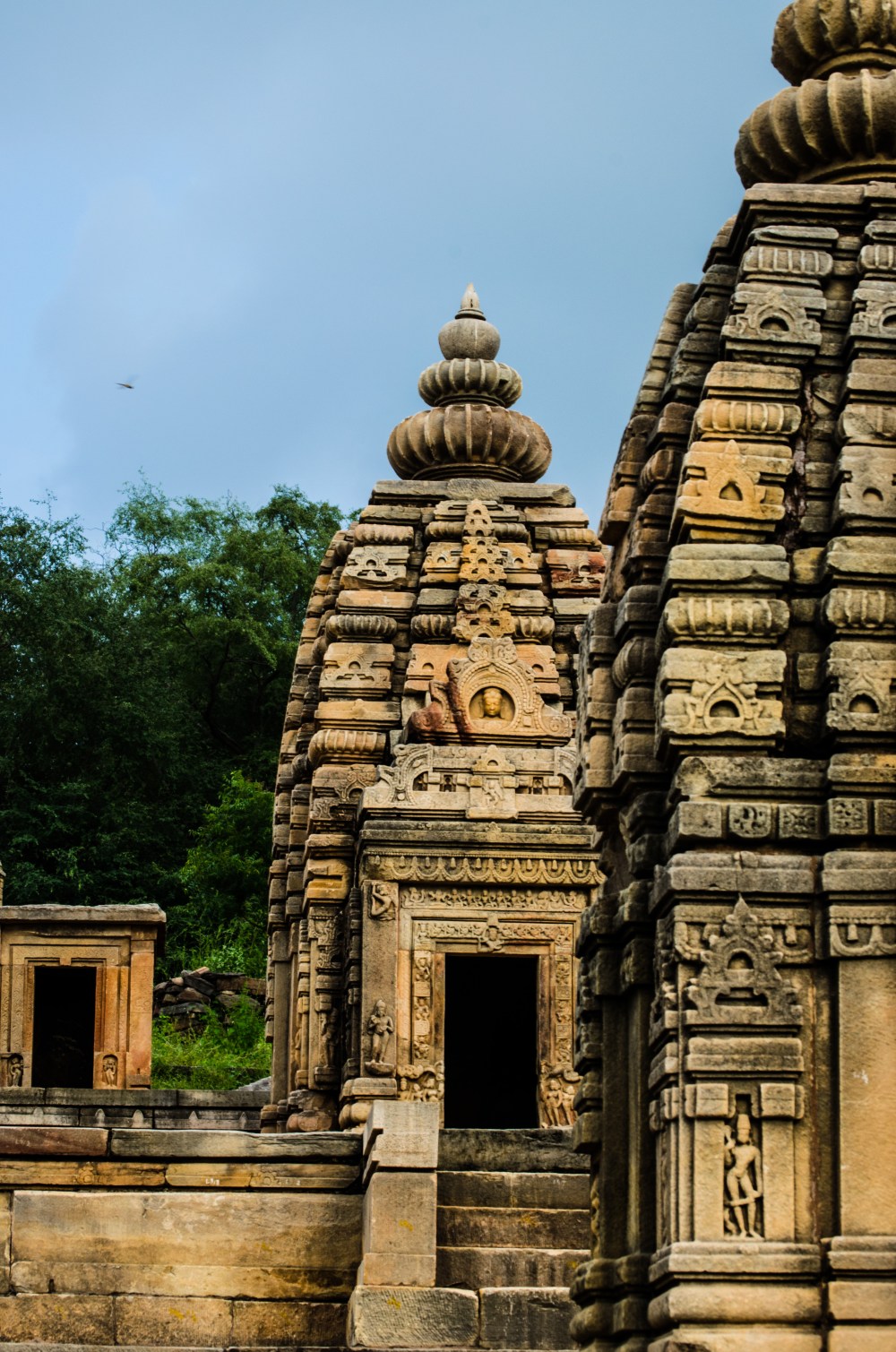
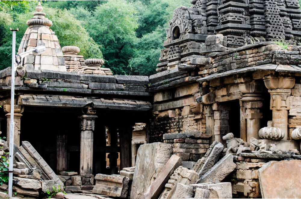
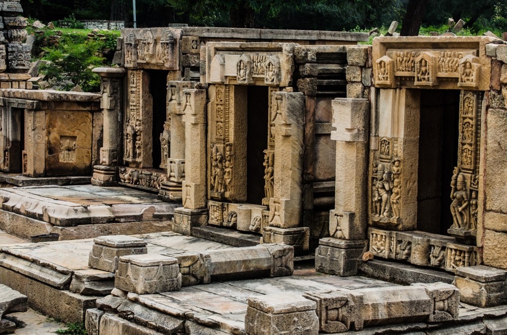

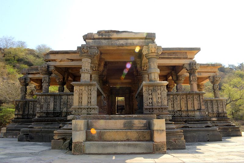
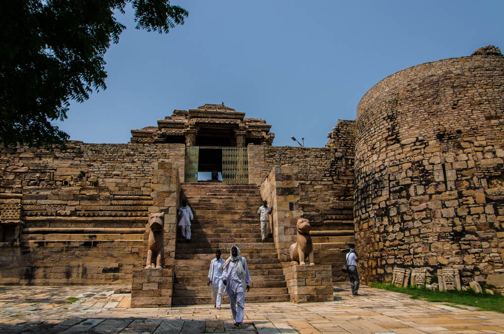
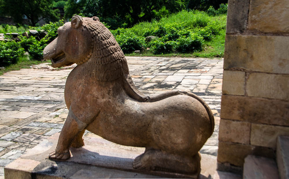
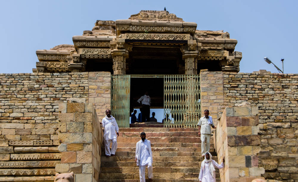
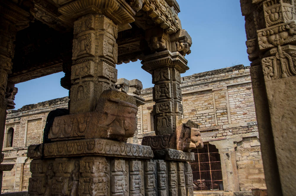

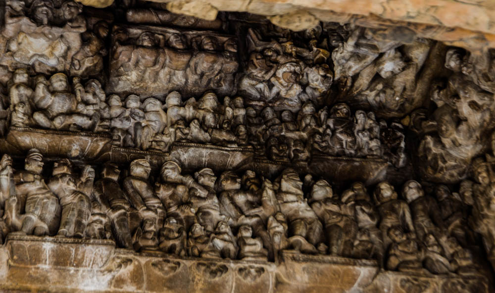
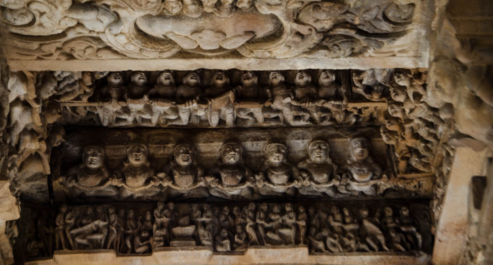
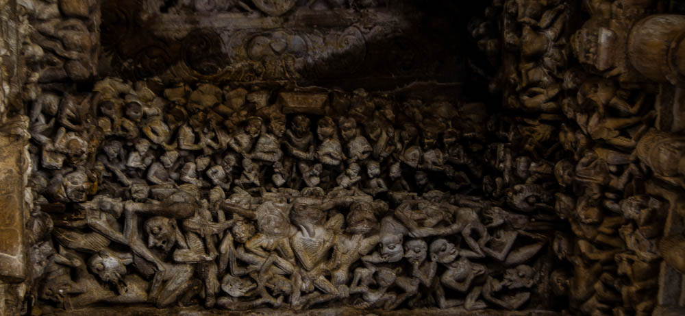

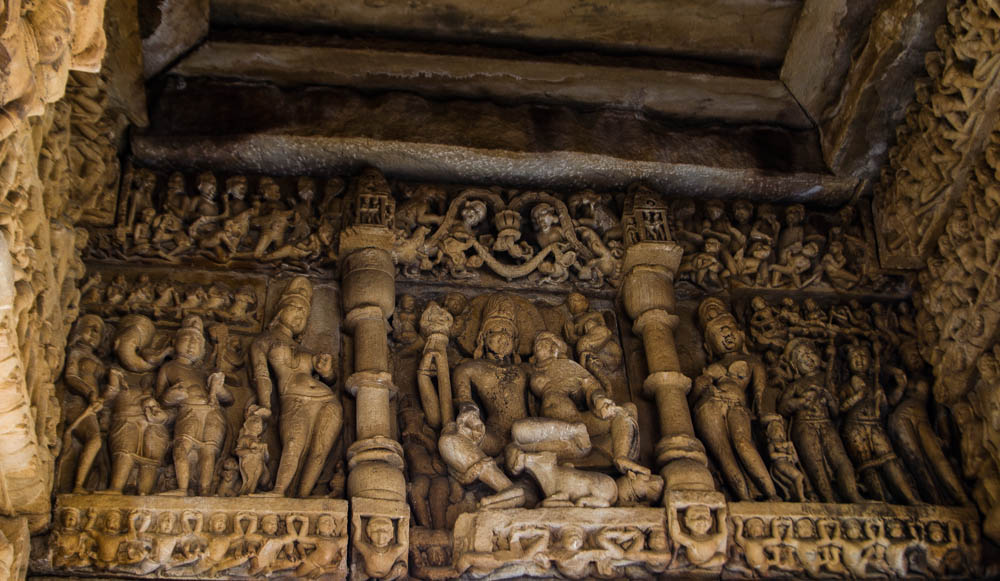
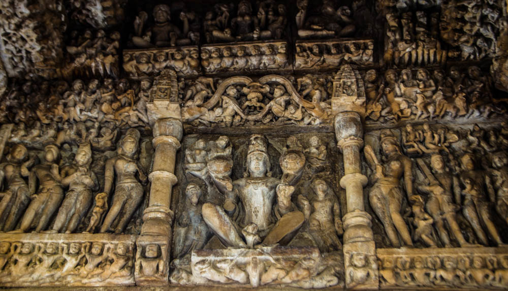
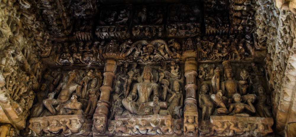
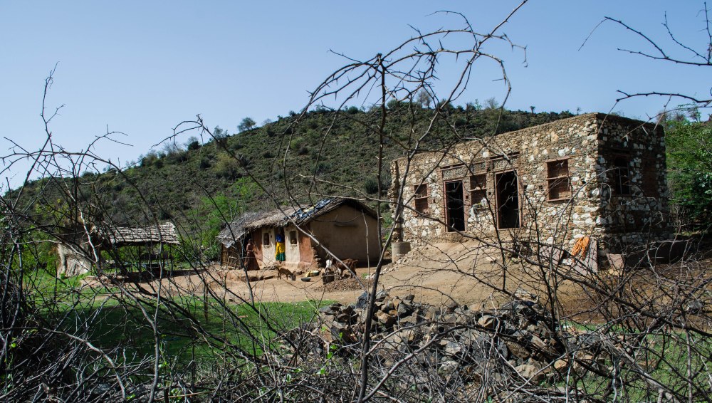

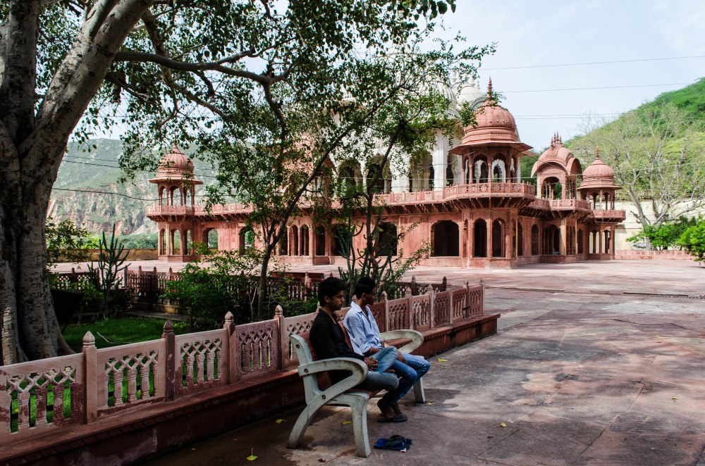

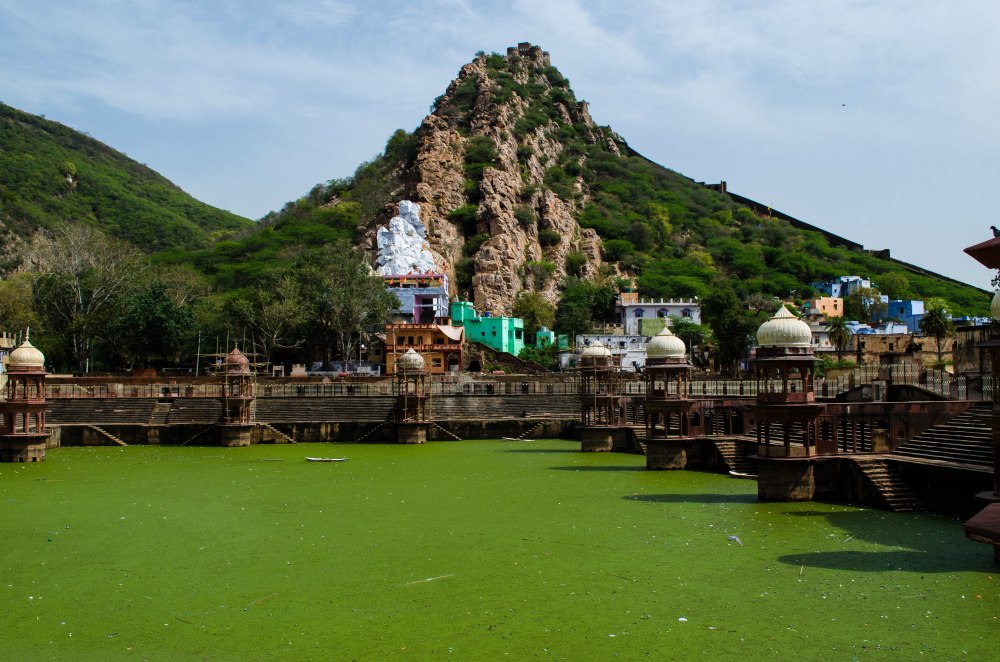
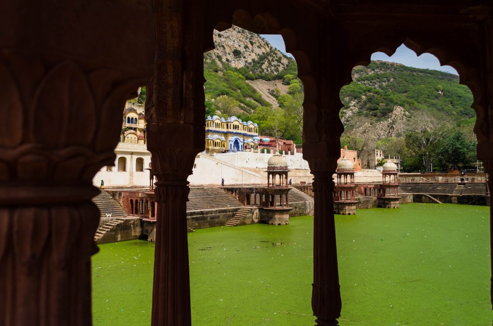
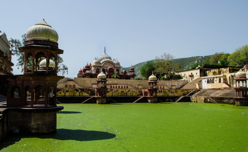
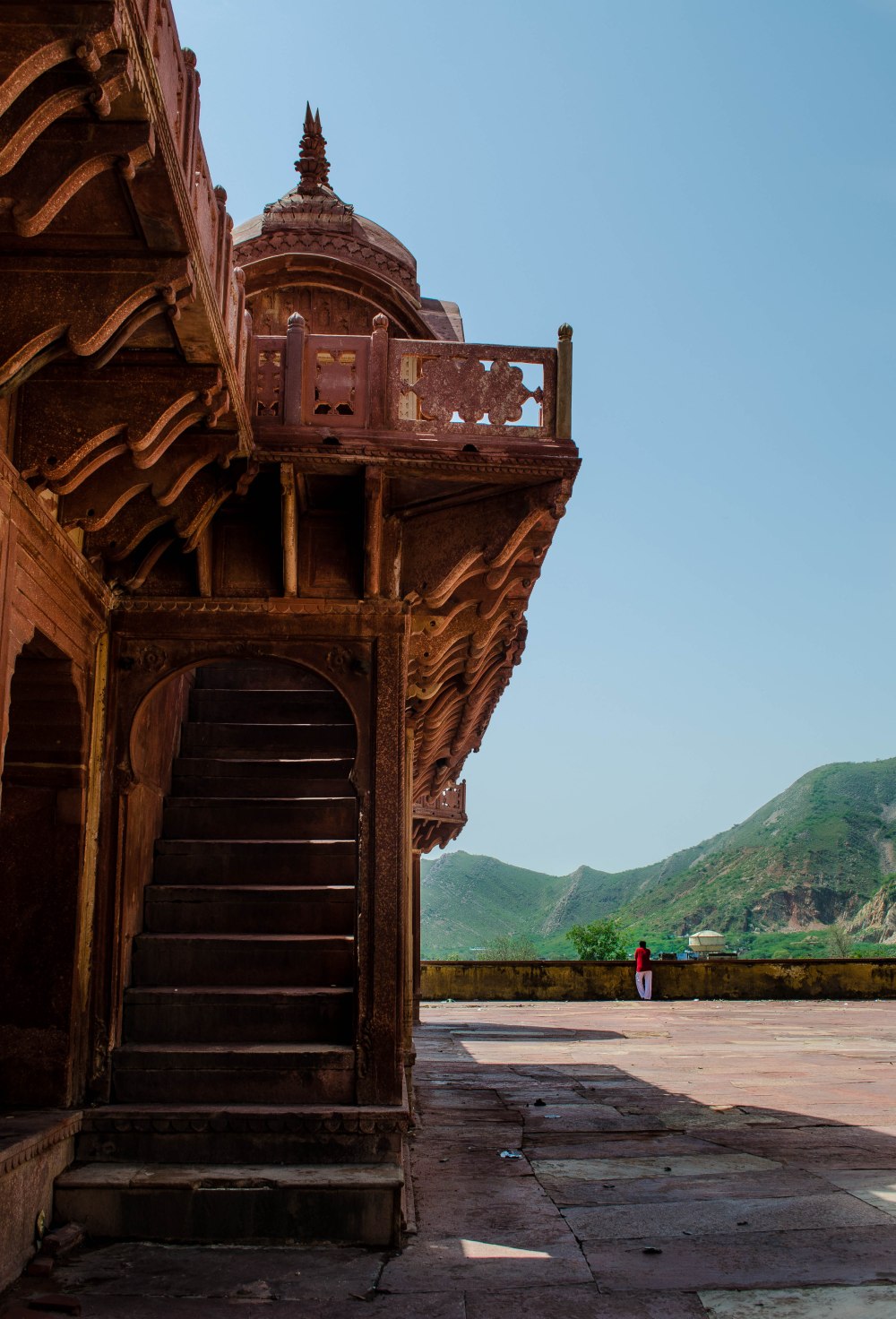


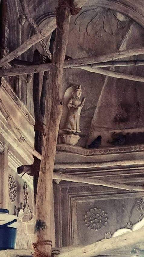

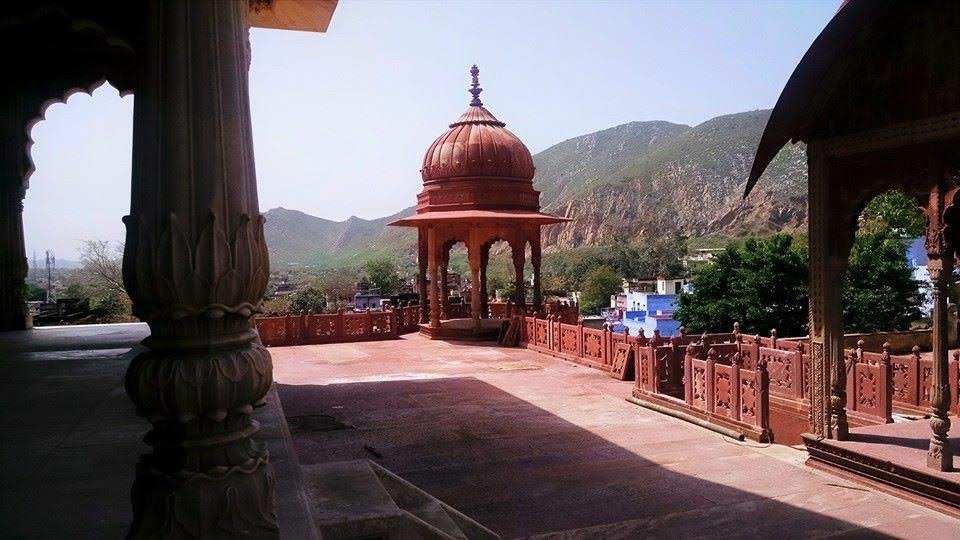

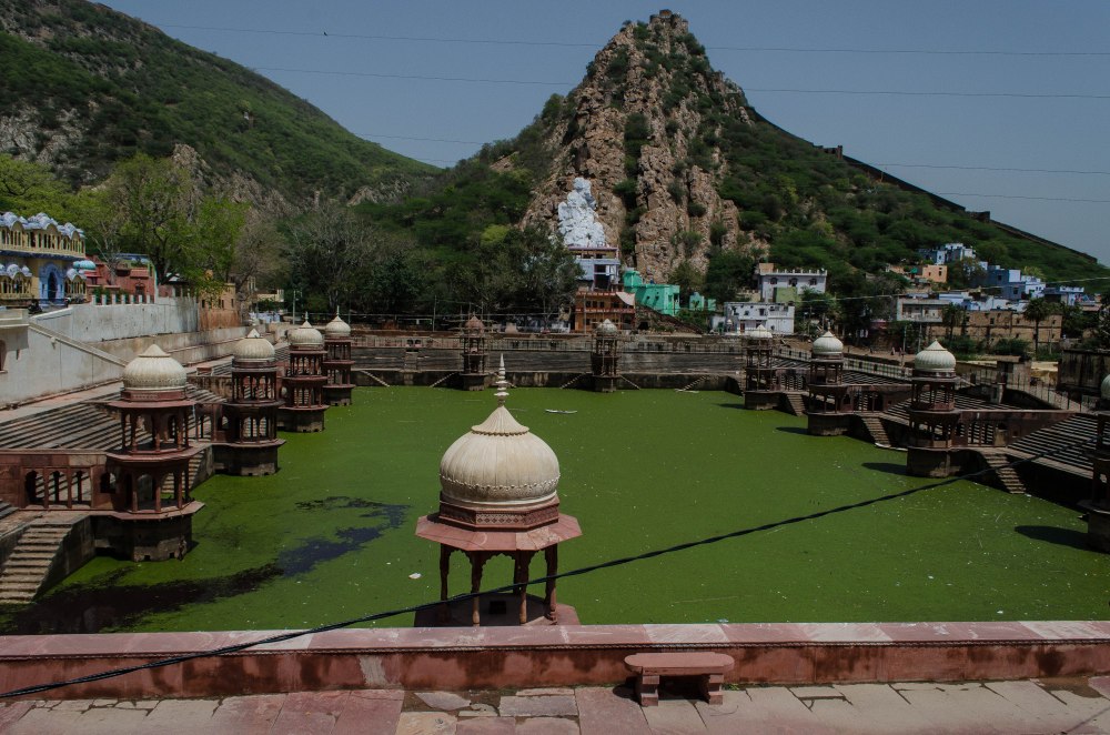
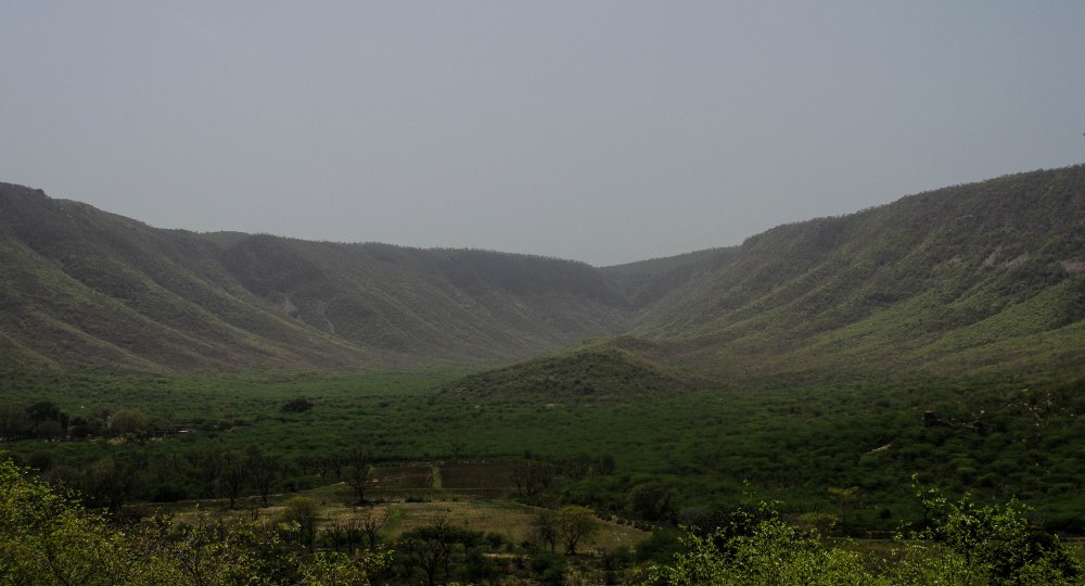


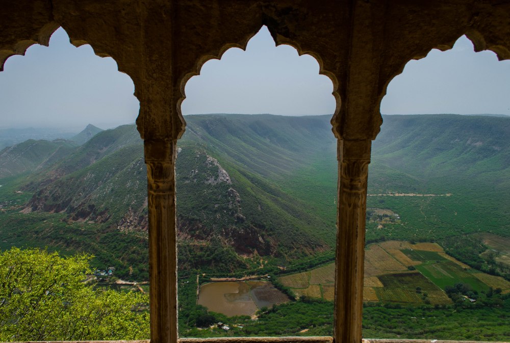


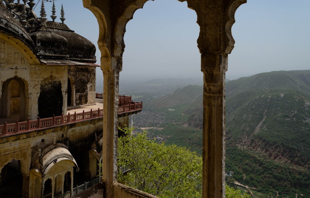


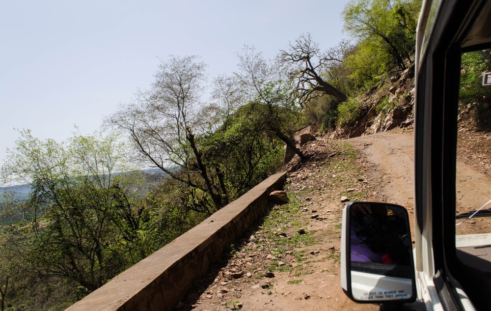
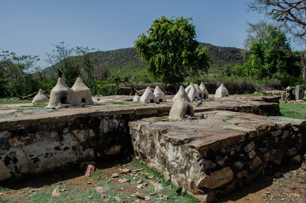


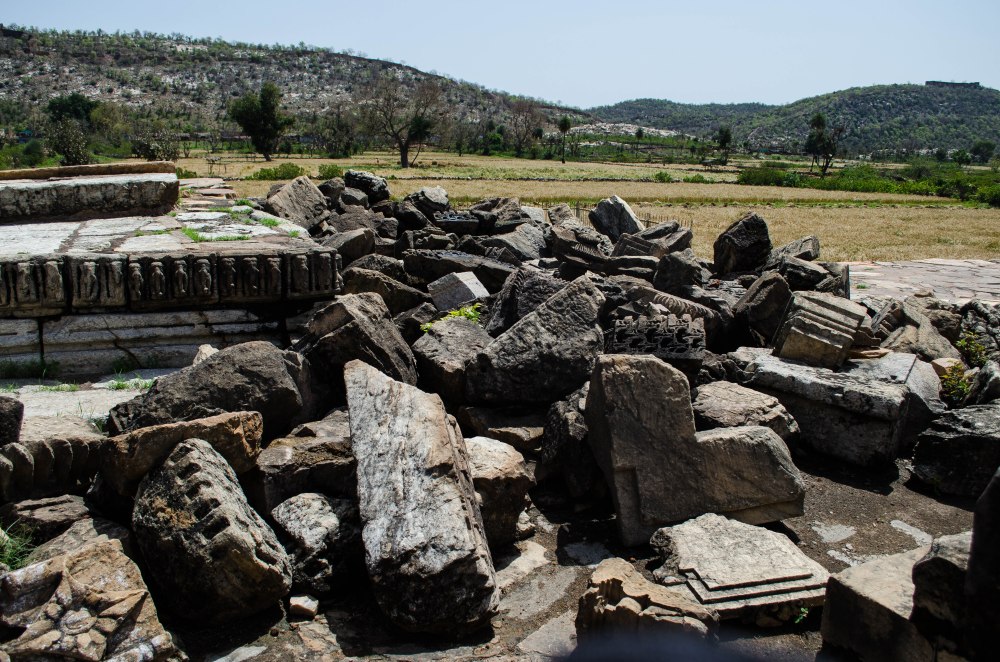

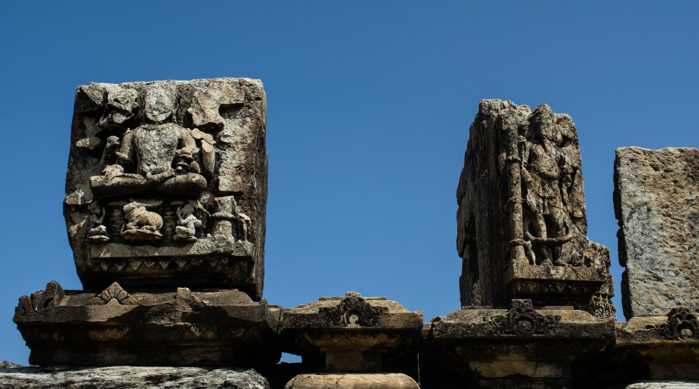
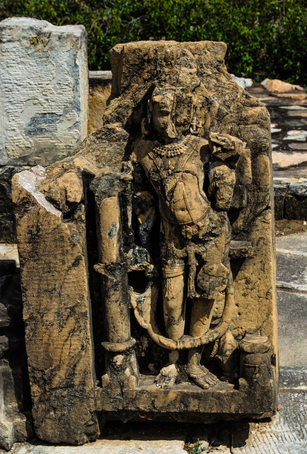
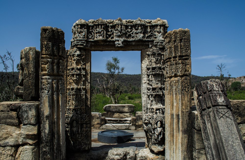

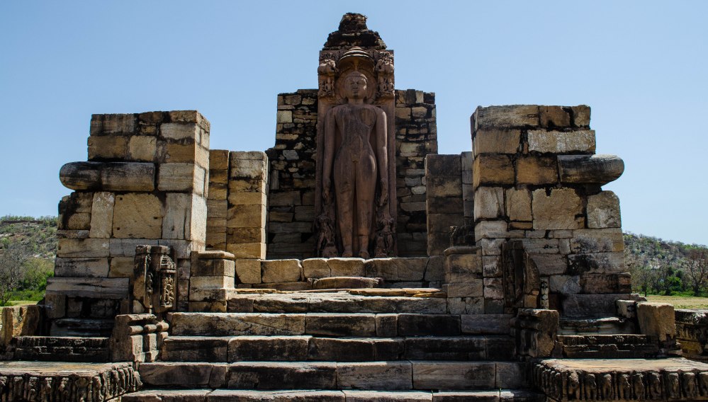
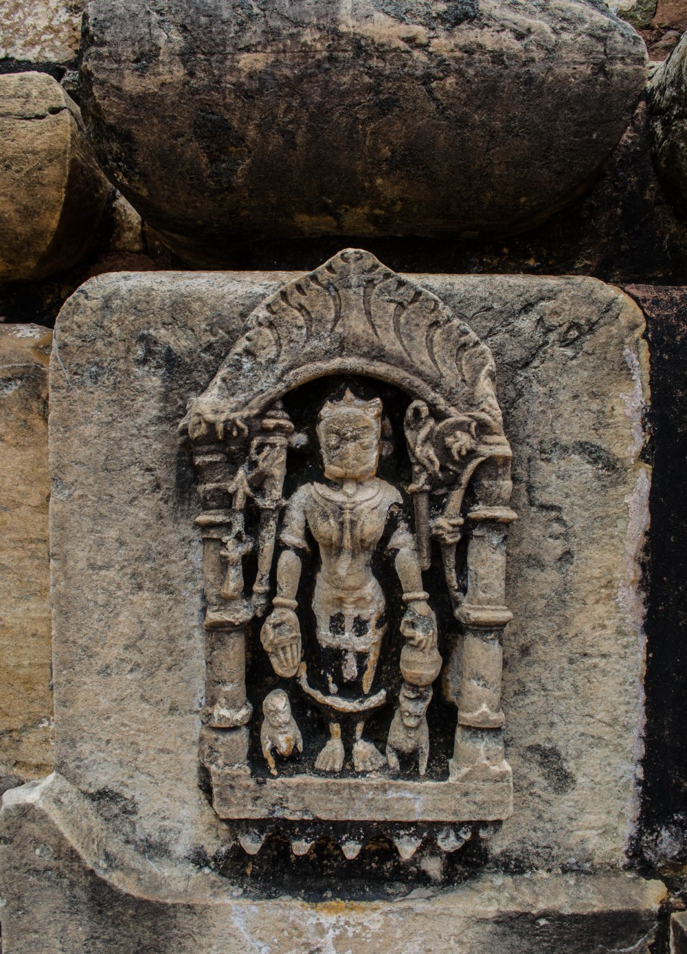

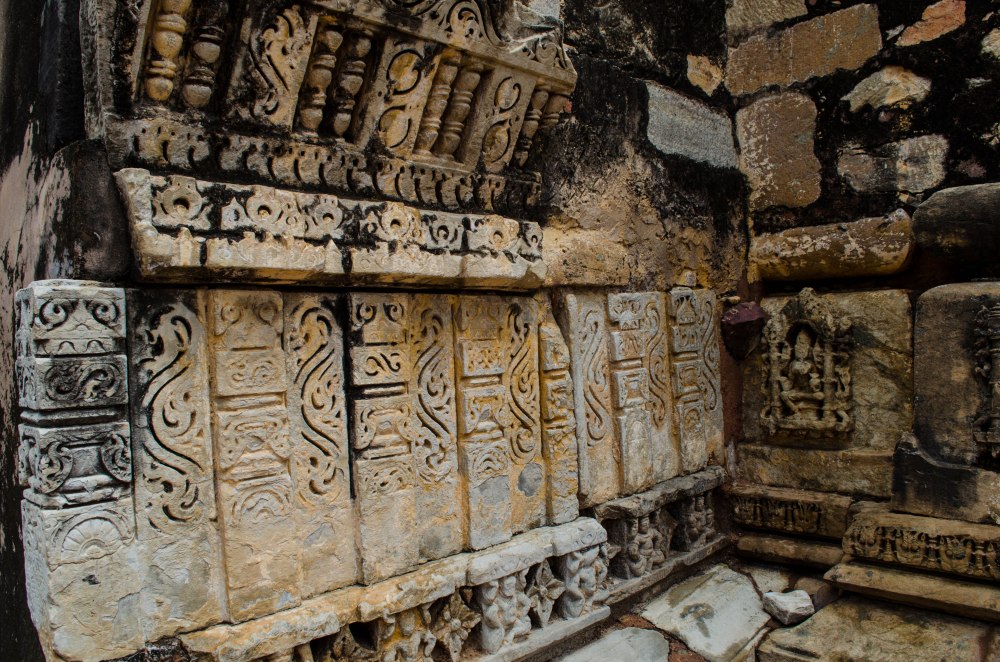

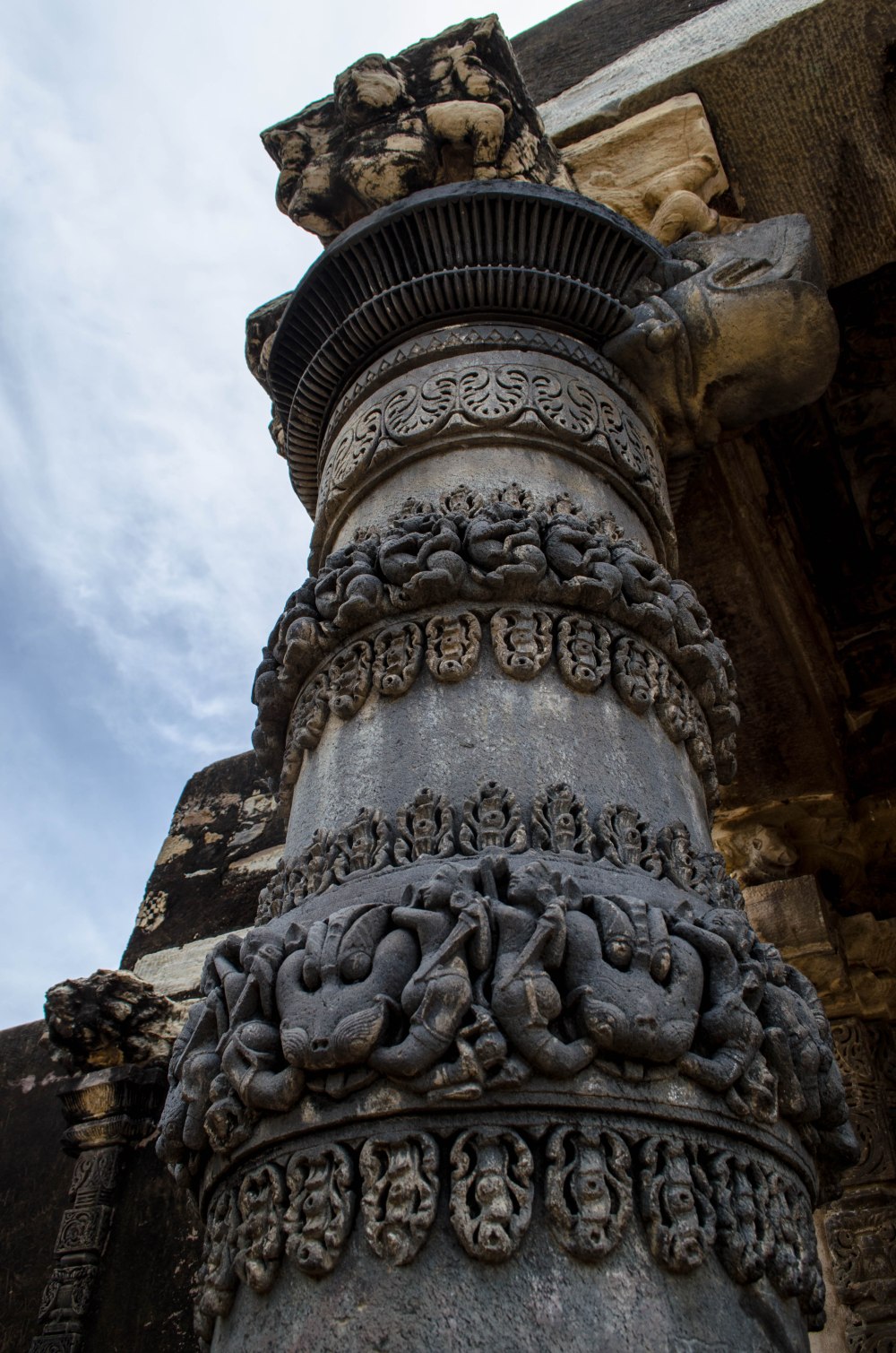
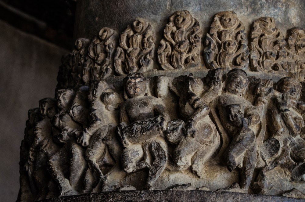

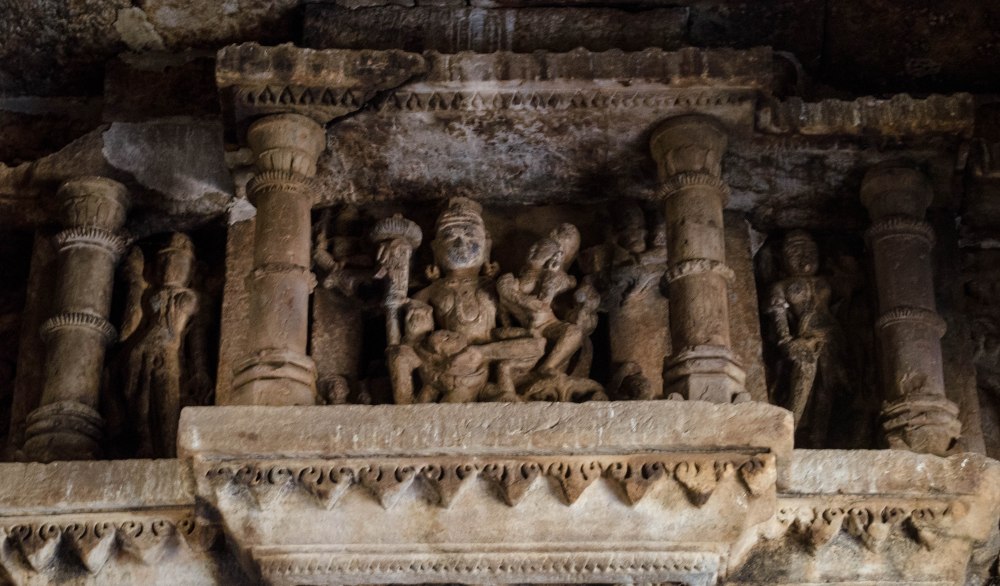
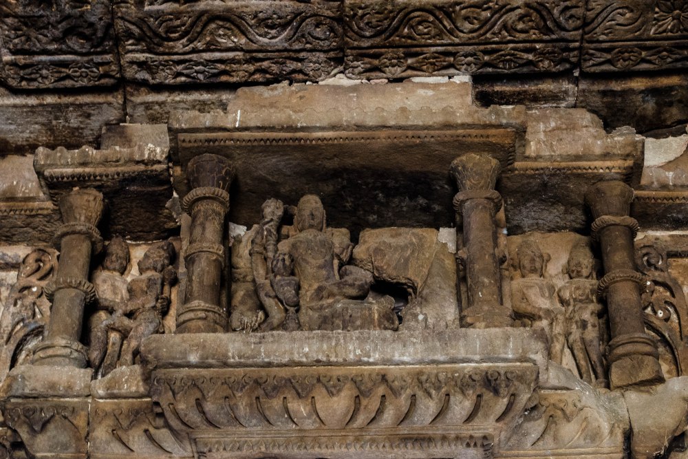
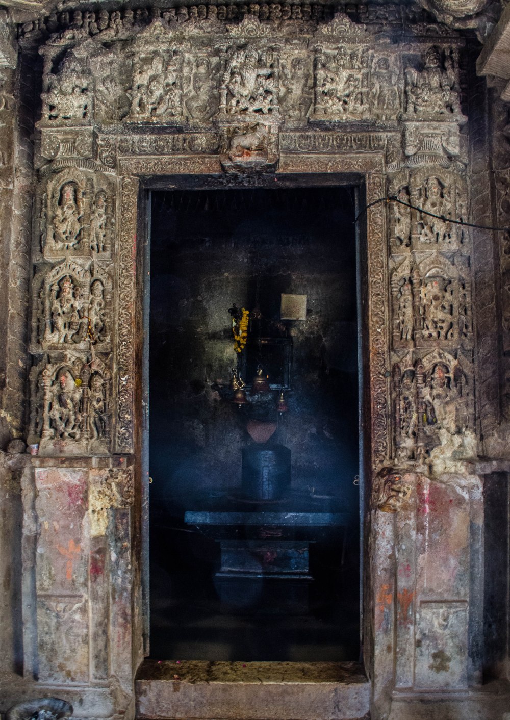
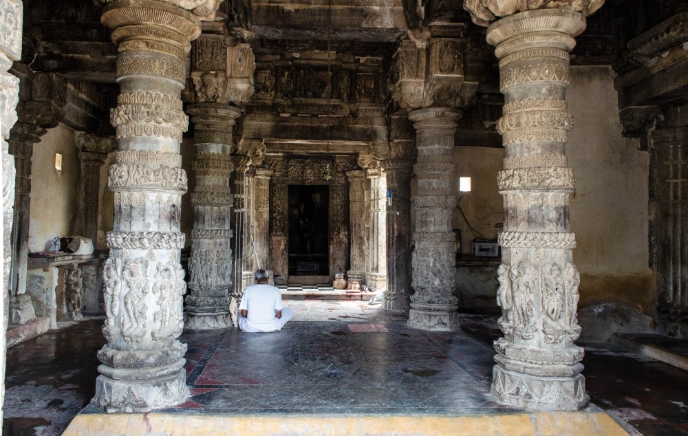
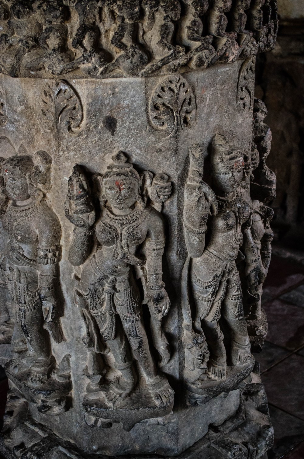
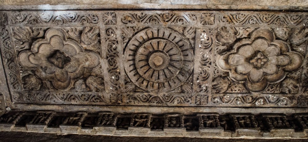
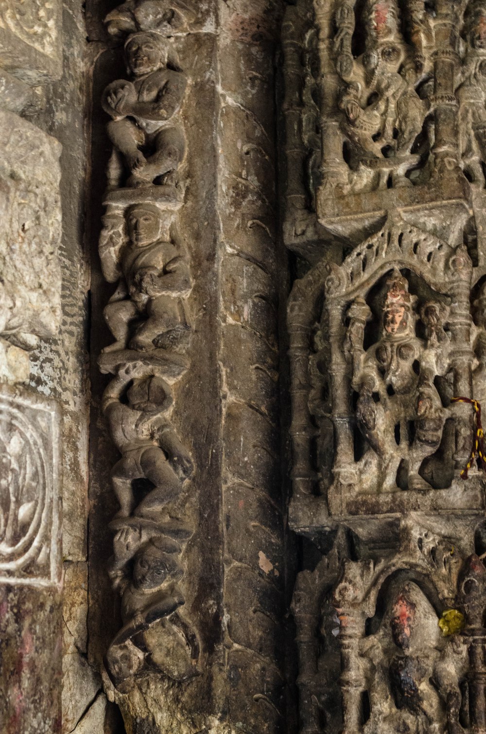


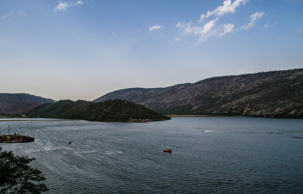
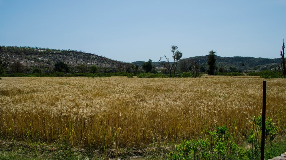

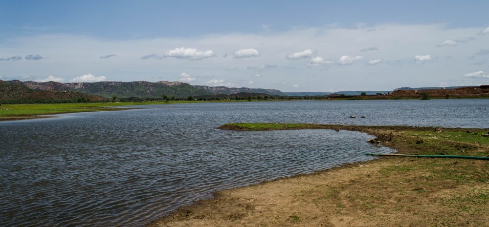
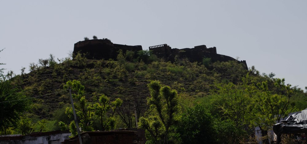
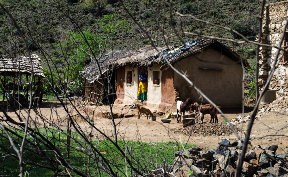
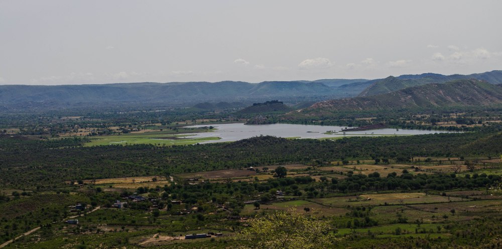
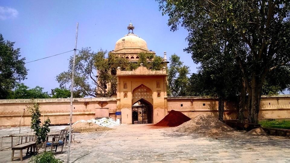


.jpg)


No comments:
Post a Comment
Note: Only a member of this blog may post a comment.